Block
From the record
30 National Register listings published here, 1 of them a National Historic Landmark.
Sources: the National Register database, National Park Service
92 topographic sheets and 20 fire insurance atlases across 4 places.
30 National Register listings published here, 1 of them a National Historic Landmark.
Sources: the National Register database, National Park Service
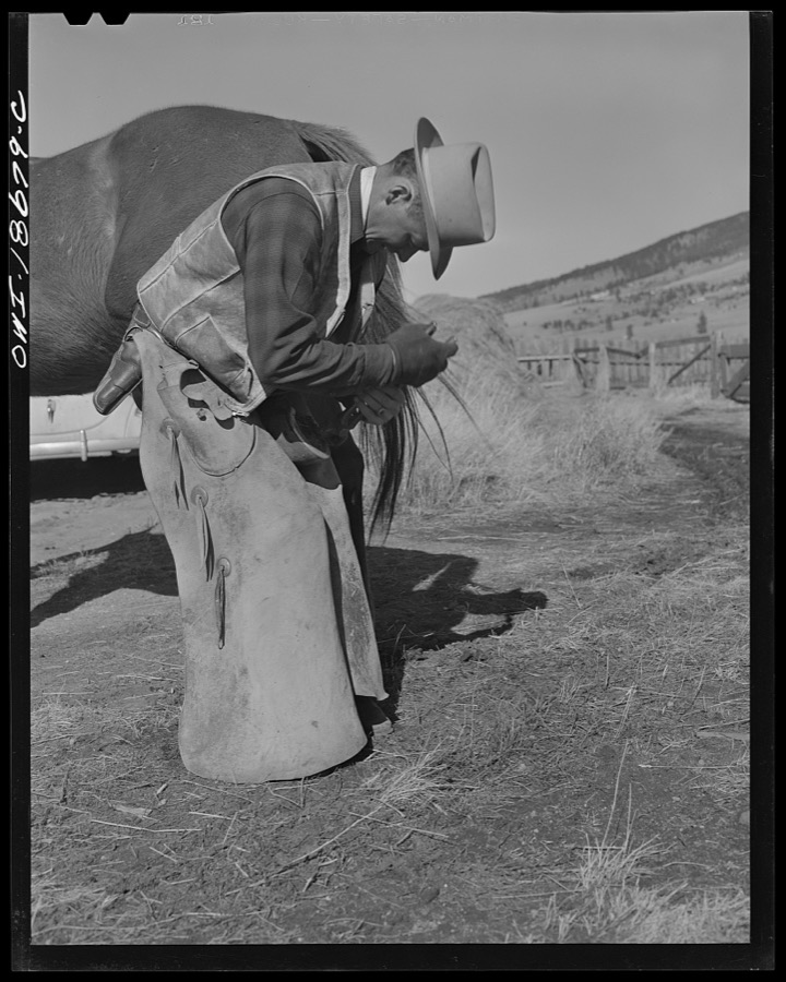
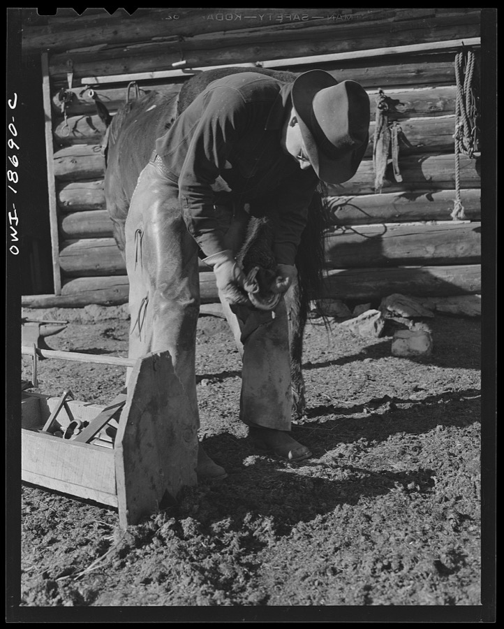
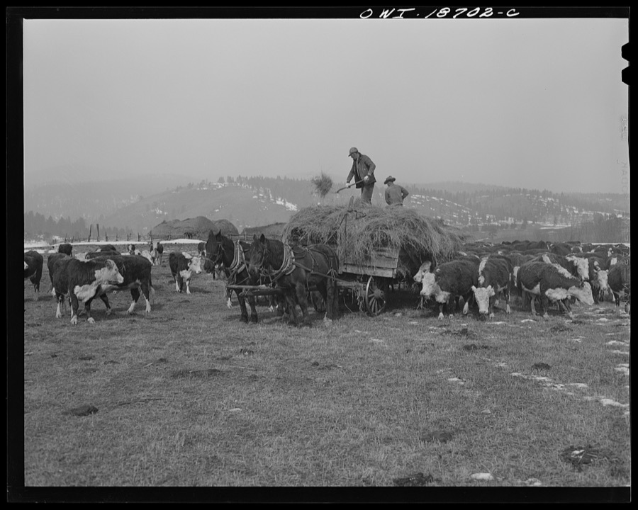
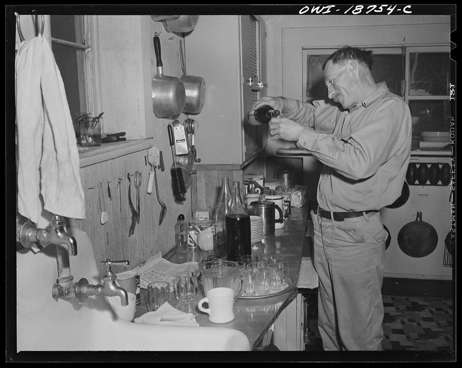
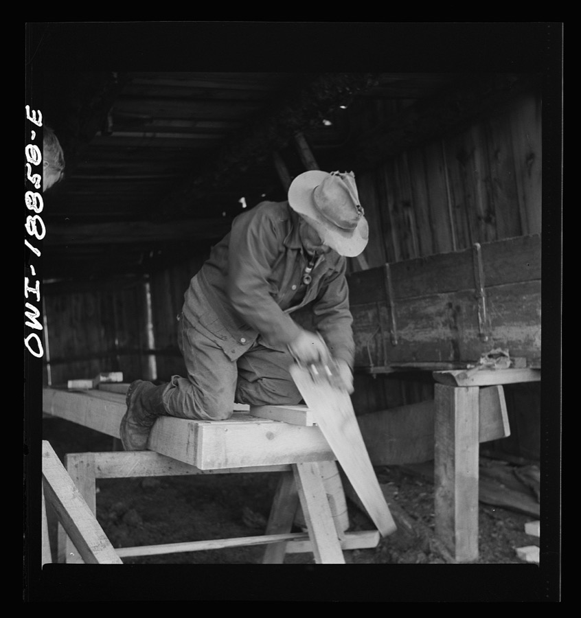
Taken for the Office of War Information and the Farm Security Administration, who photographed the country between 1935 and 1944. Works of United States government photographers, with no known restriction on use. Each opens its catalogue record.
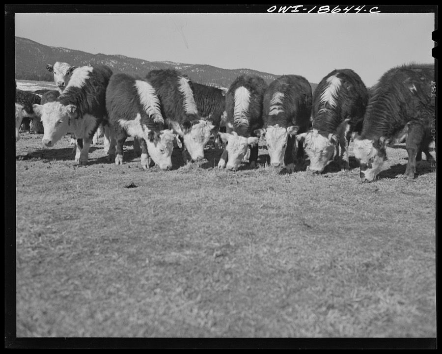
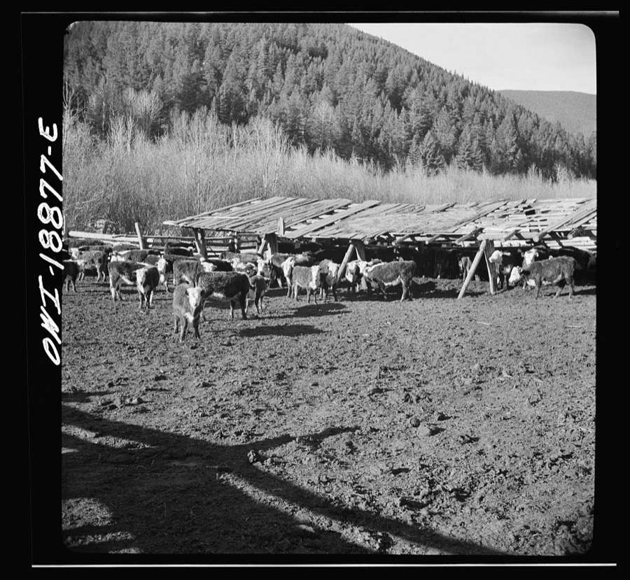
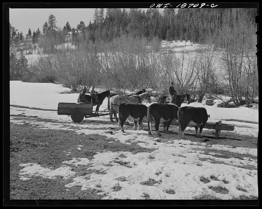
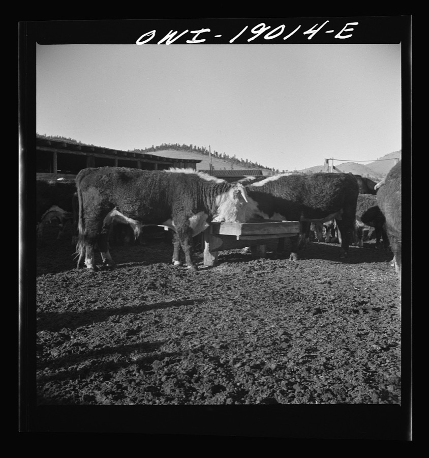
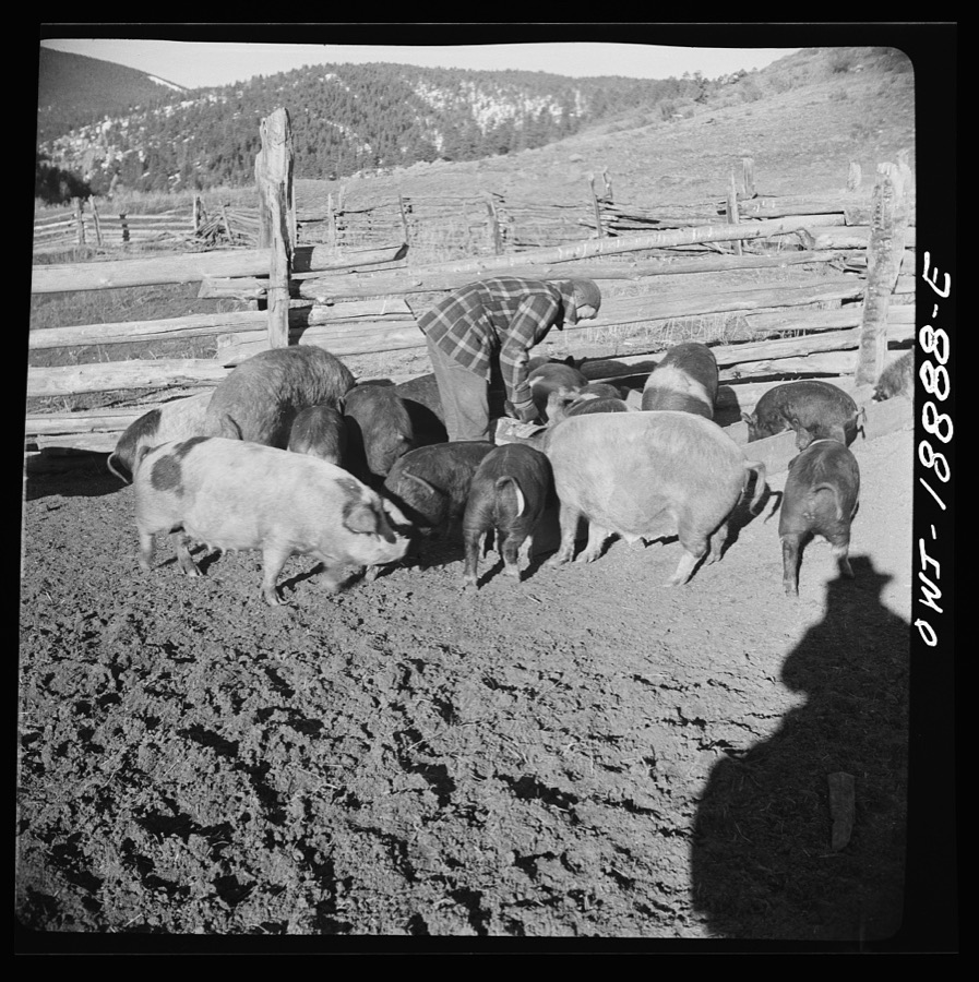
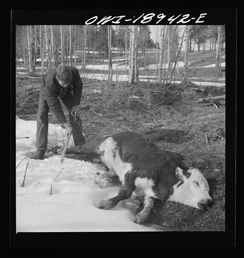
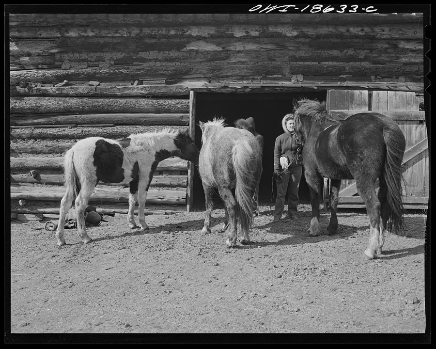

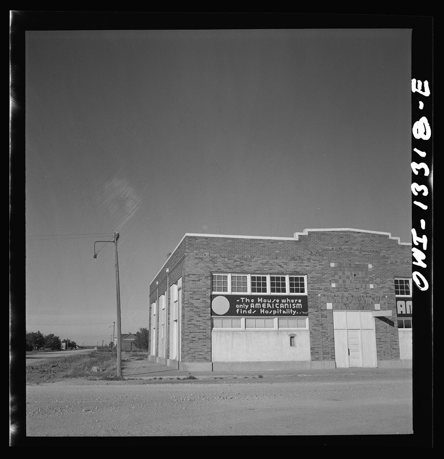


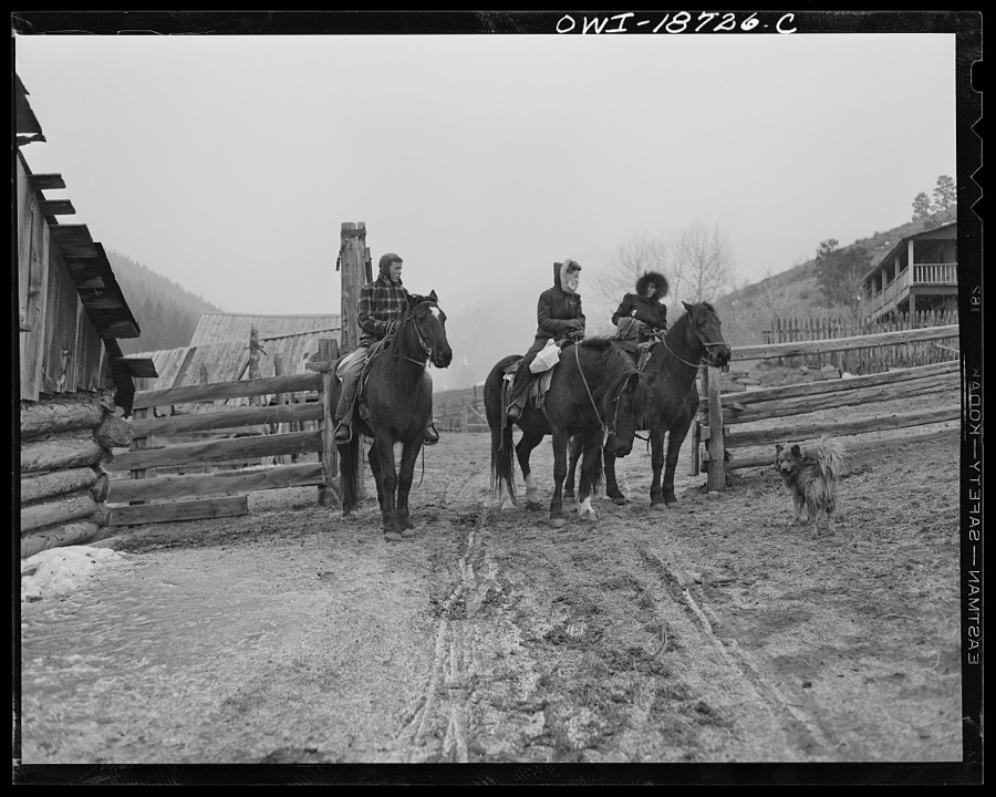
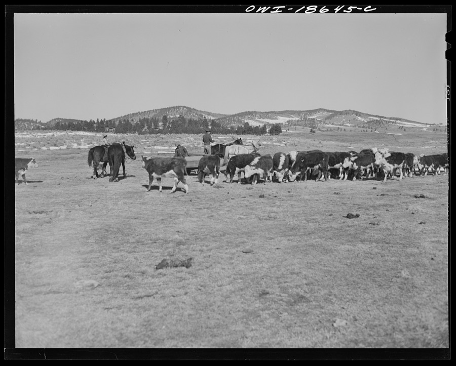
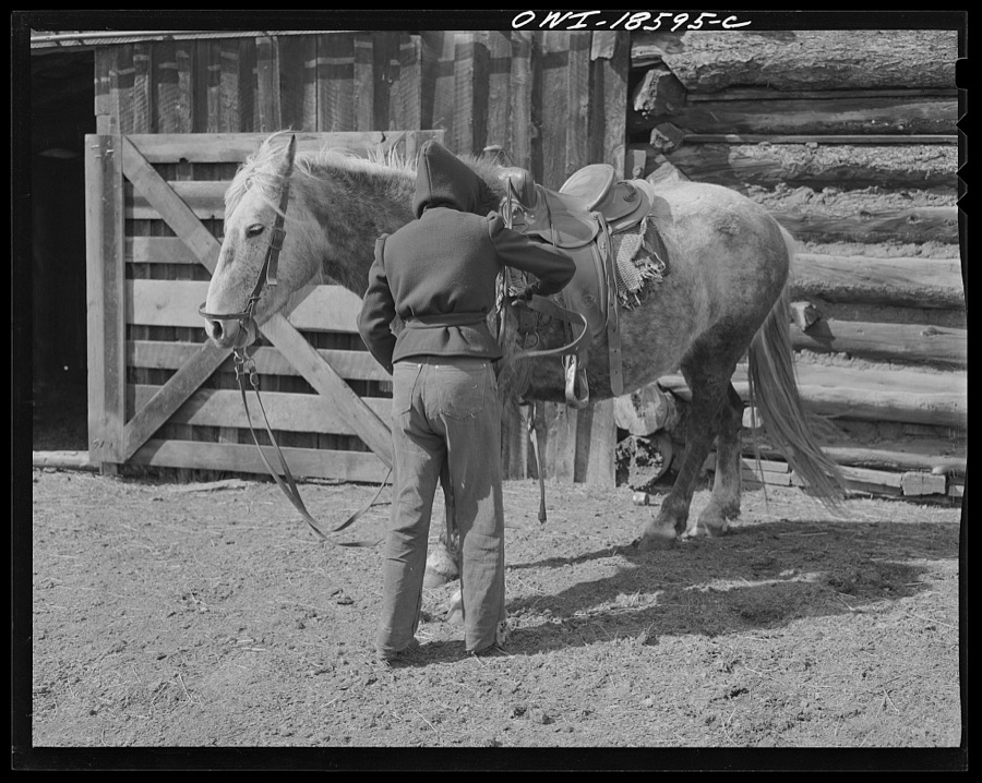
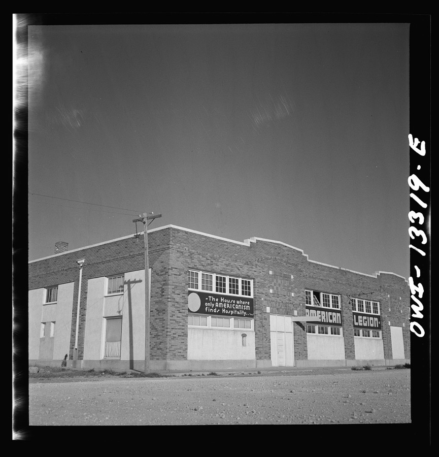
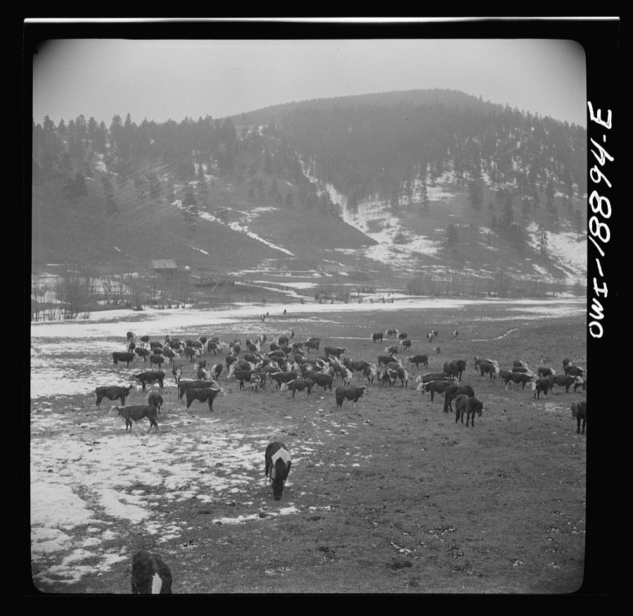

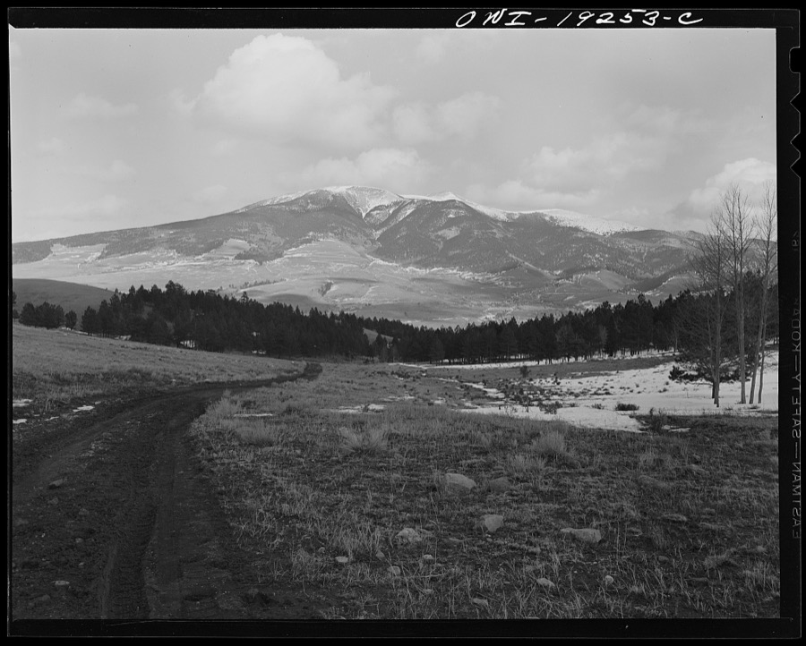
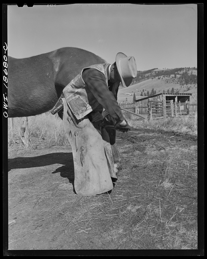
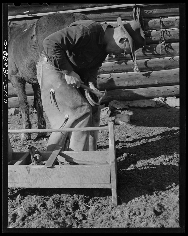
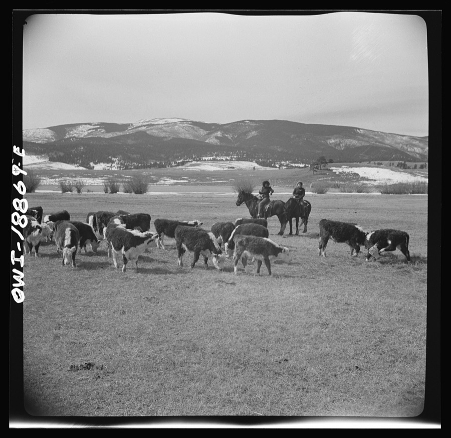
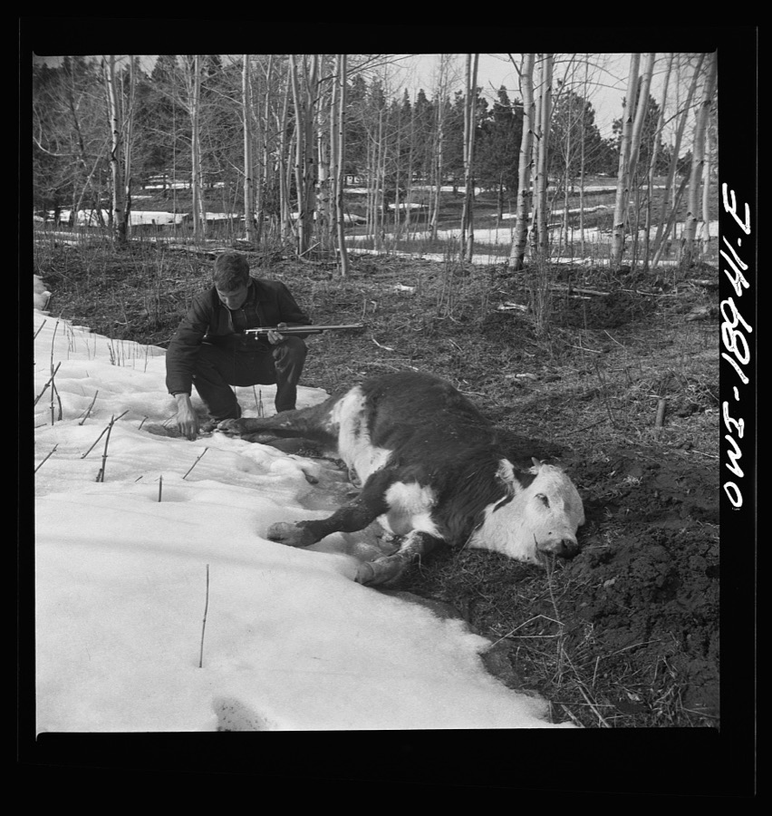
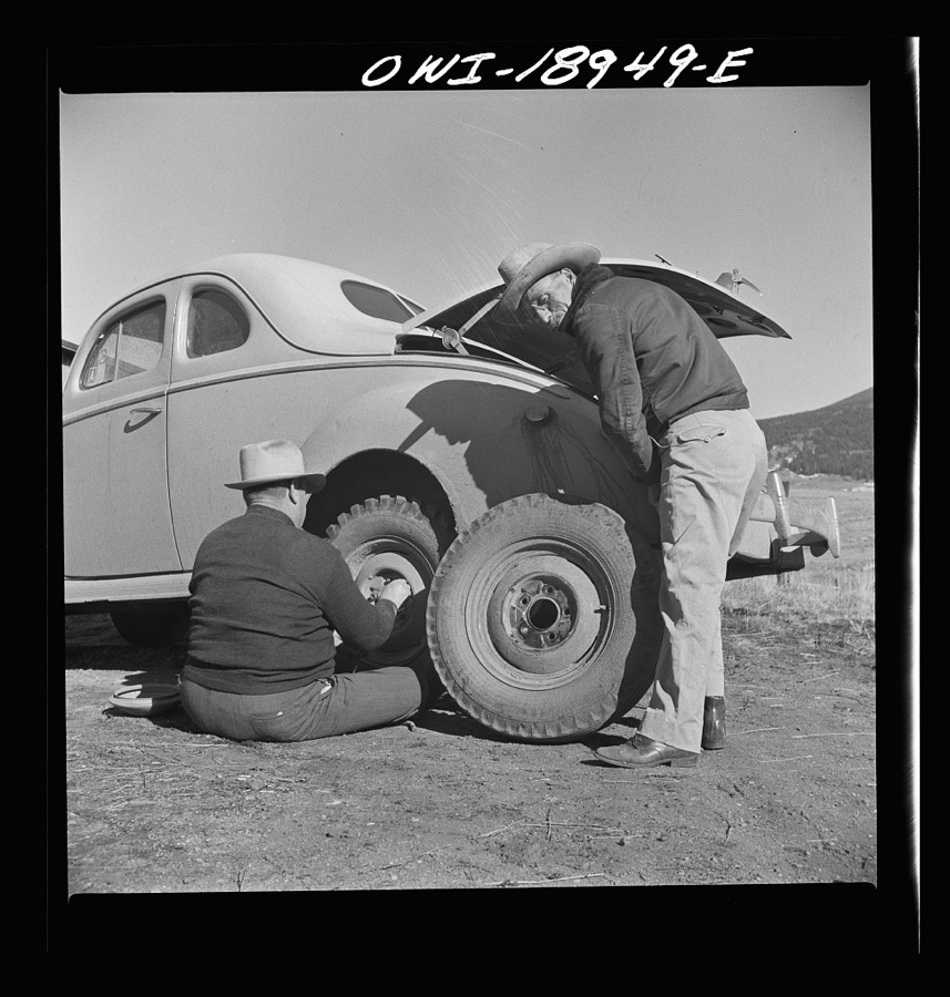
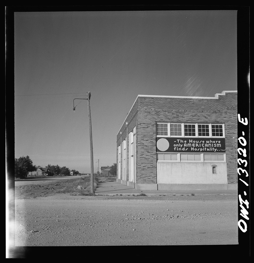
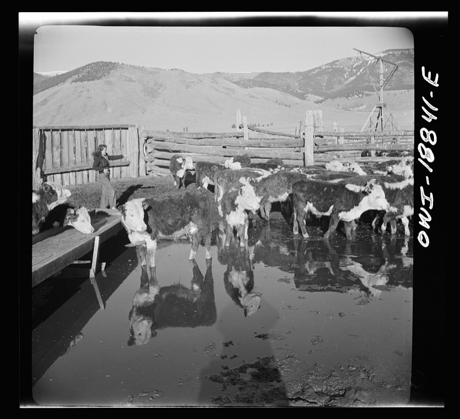
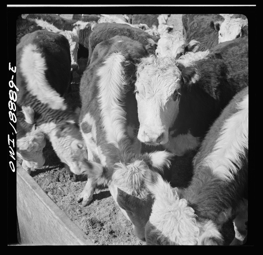
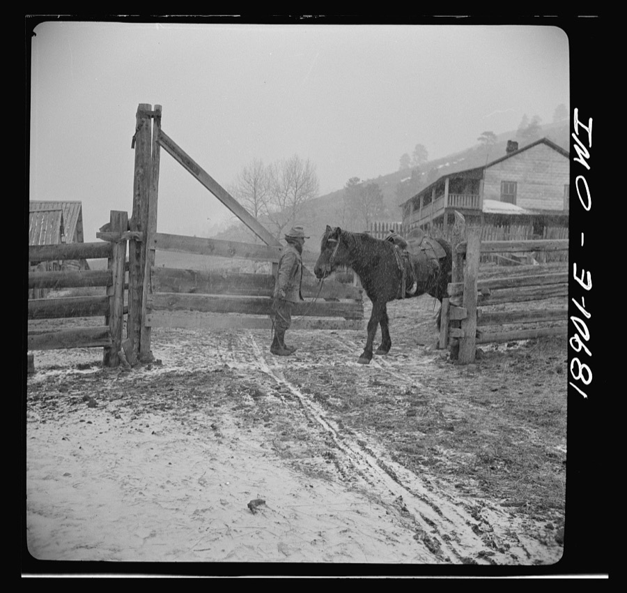
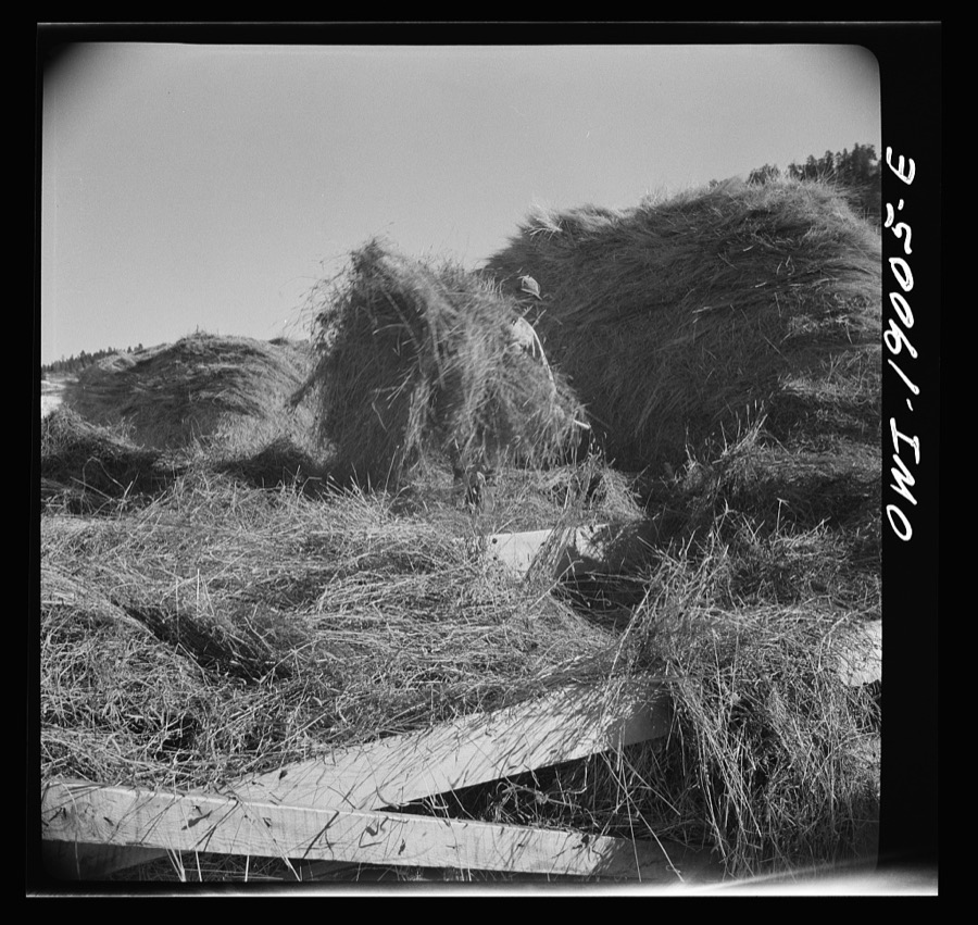



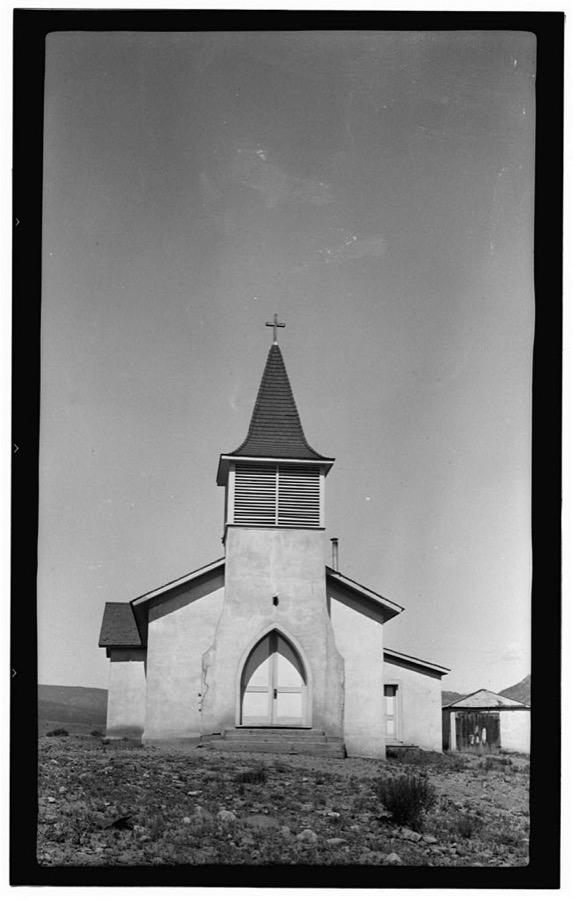
Every property in this county listed on the National Register of Historic Places, with the year it was listed and the federal nomination document.
Sampled issues, machine-read from the Library of Congress scan and published page by page, so every headline and column is searchable text.
Cimarron, N.M., 1908 to 19??. Machine-read from the Library of Congress scan.
Cimarron, N.M., 1907 to 19??. Machine-read from the Library of Congress scan.
Cimarron, Colfax County, N.M., 19??. Machine-read from the Library of Congress scan.
Drawn when these were printed as single large sheets: the town seen from the air, and the county divided into its farms with every owner named. Each opens the original at the Library of Congress.
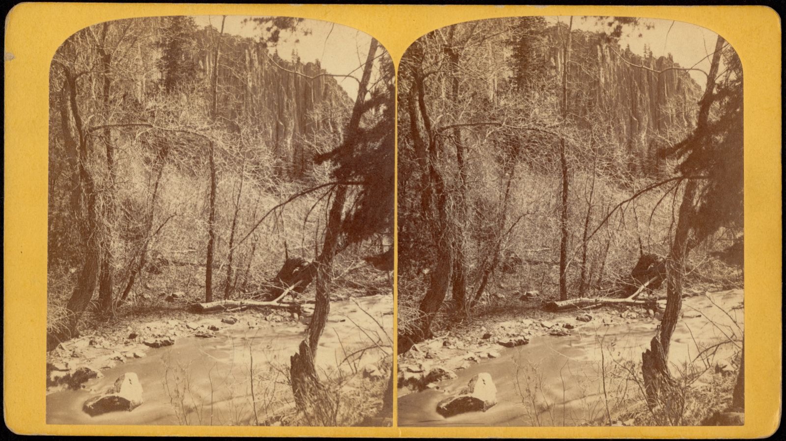
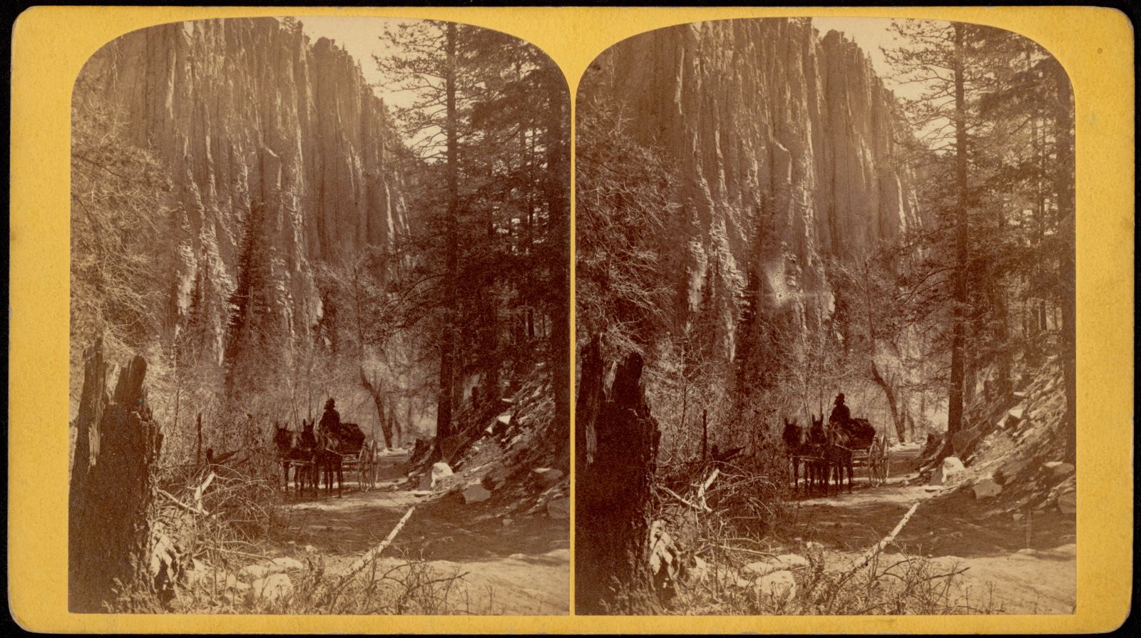
Selected from the Digital Public Library of America's 2 image records catalogued for this county. Every one shown here carries a public-domain status or a licence that permits reuse on a site that carries advertising; non-commercial, share-alike and restricted images are excluded. The selection is spread across the county's towns (at most eight per town), so no single institution's bulk upload crowds out the rest. Each opens the holding library's record, and the complete set at the Digital Public Library of America is one click away.
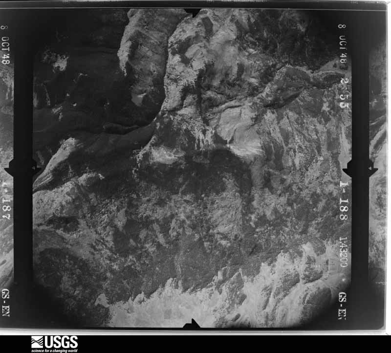
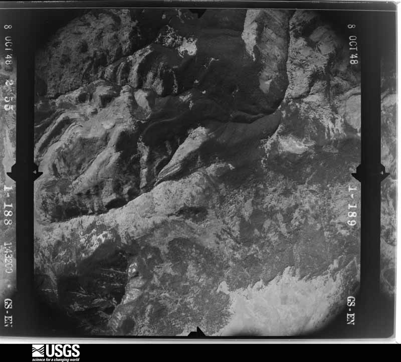
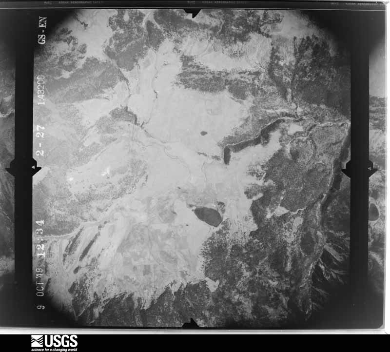
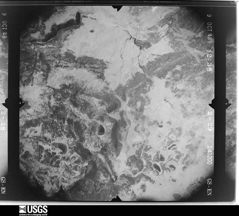
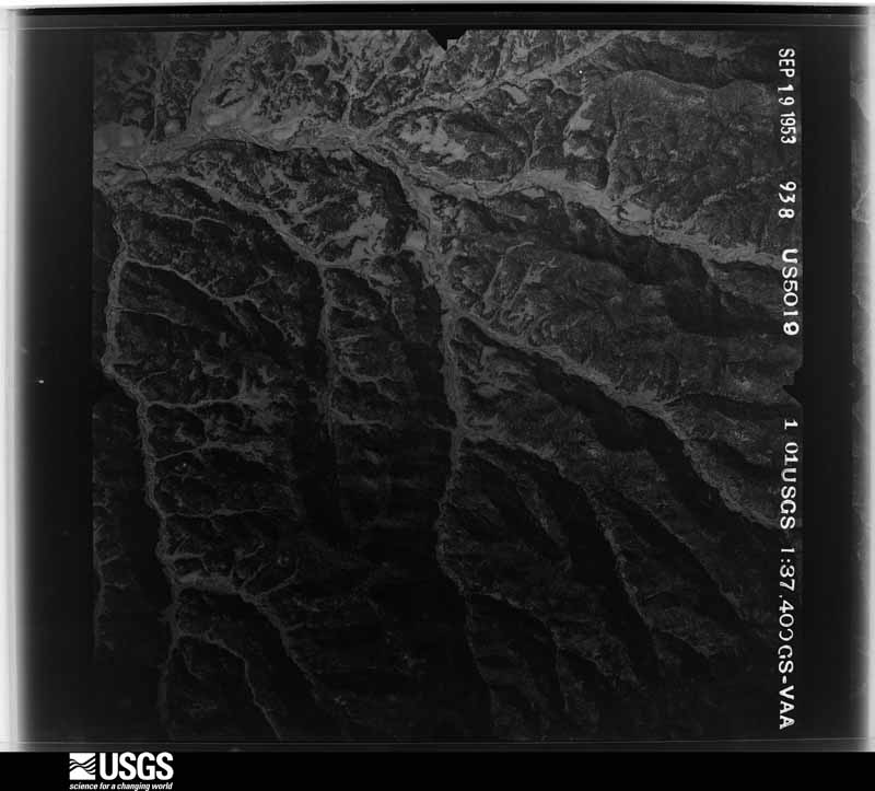
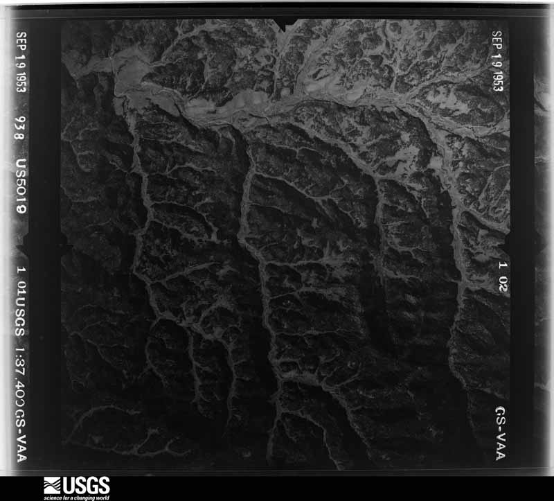
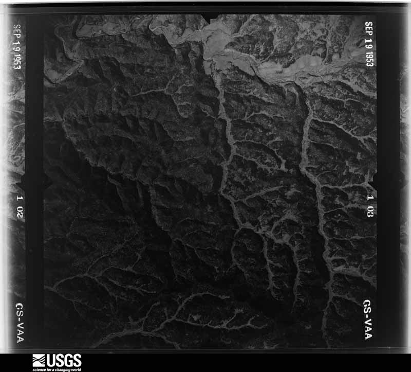
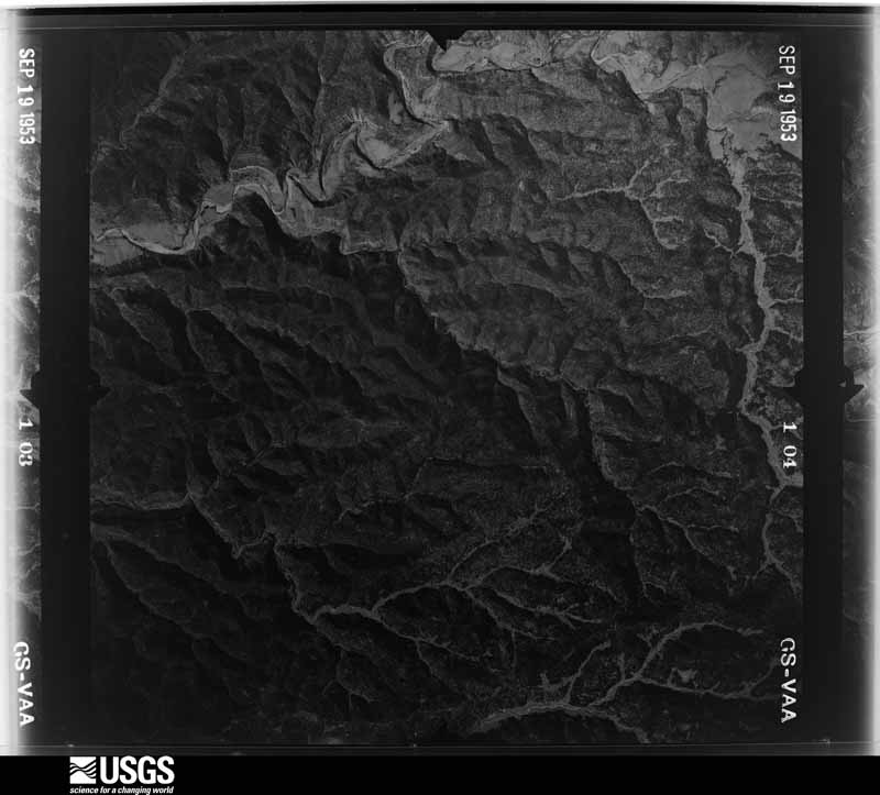
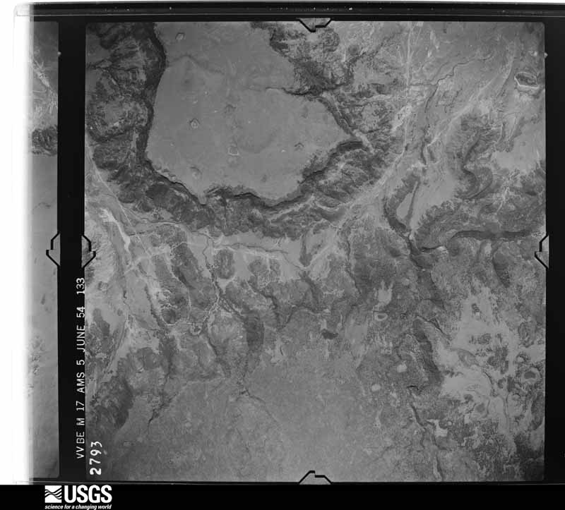
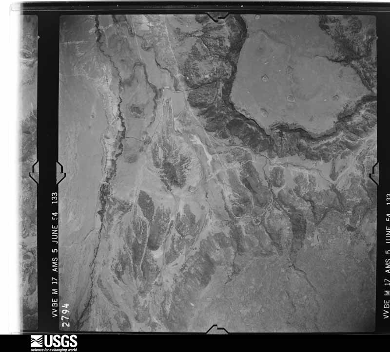
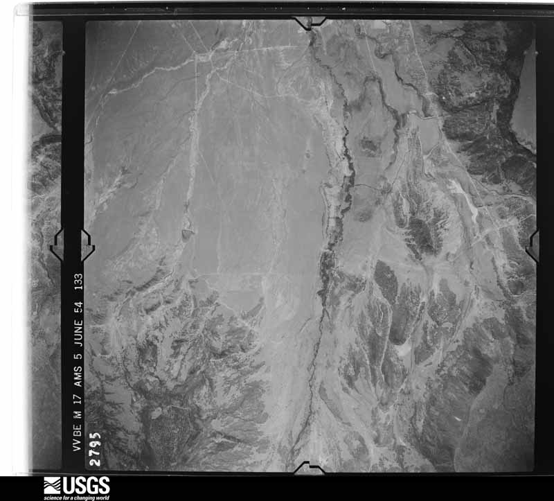
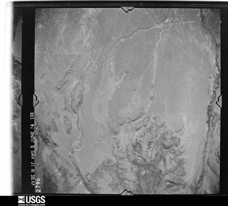
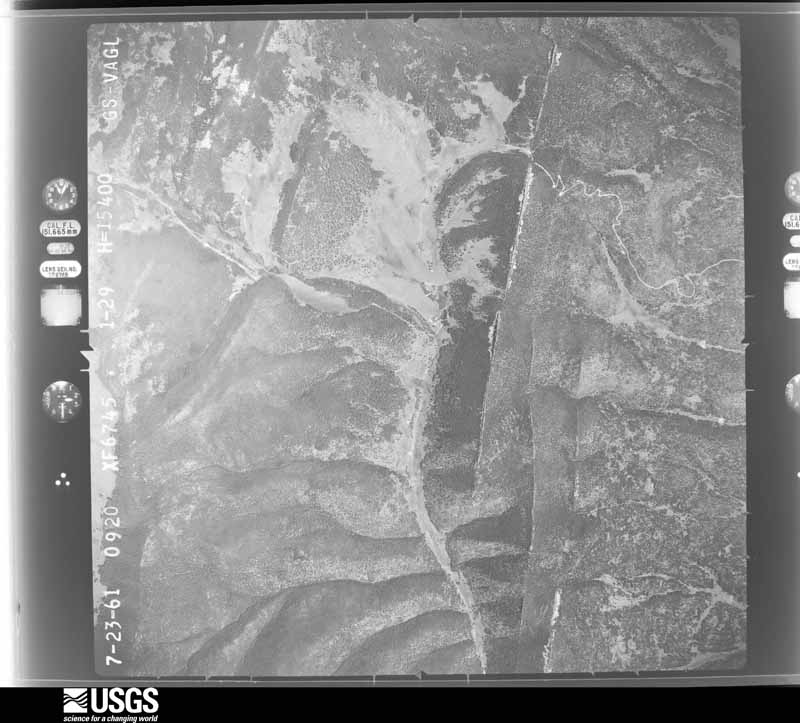
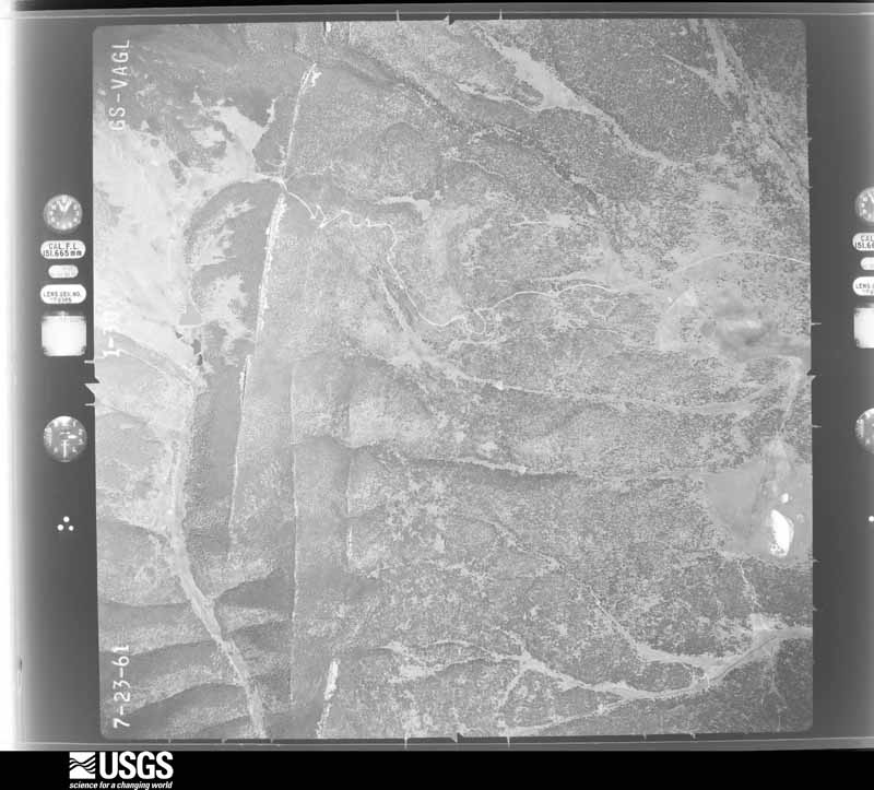
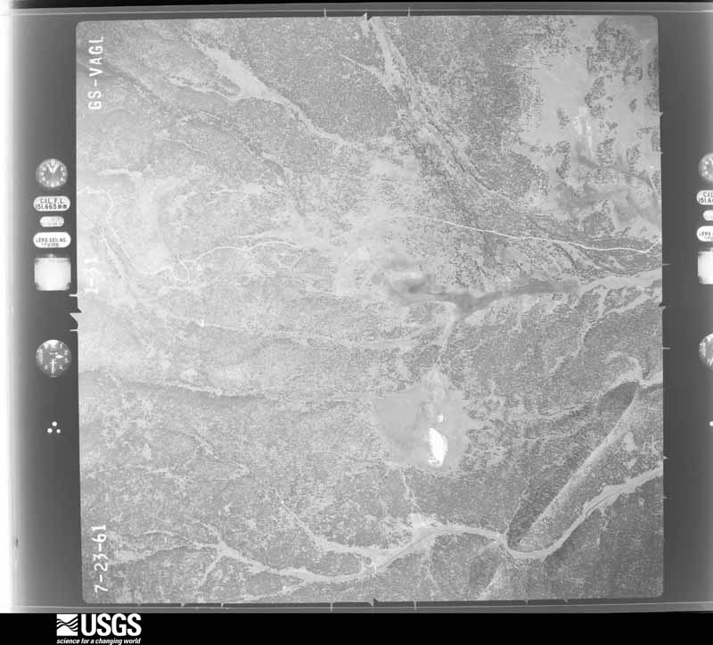
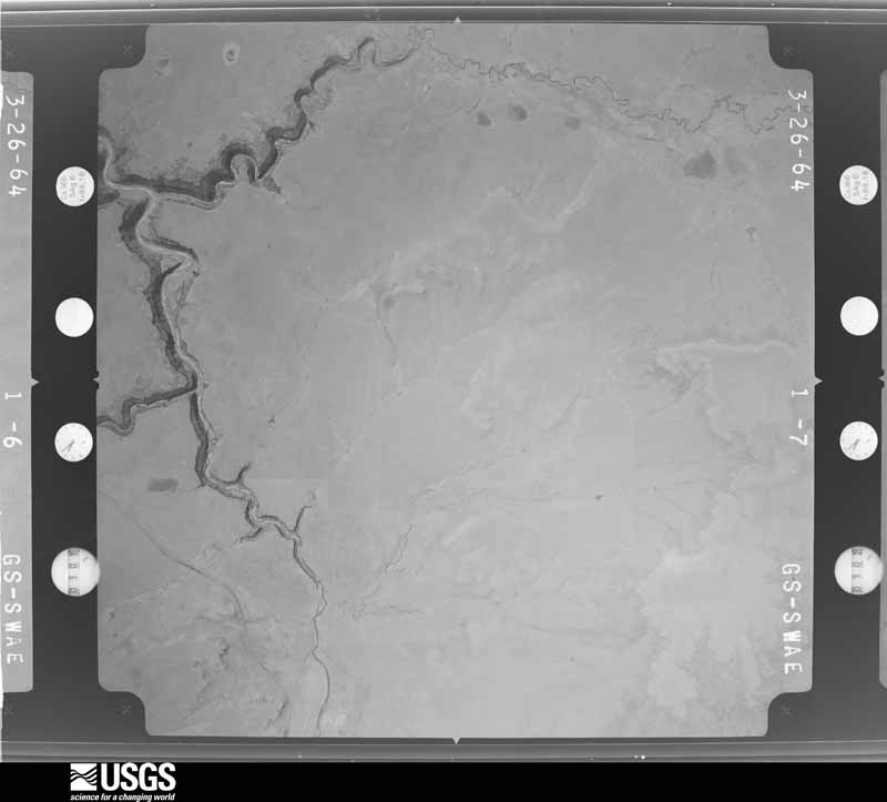
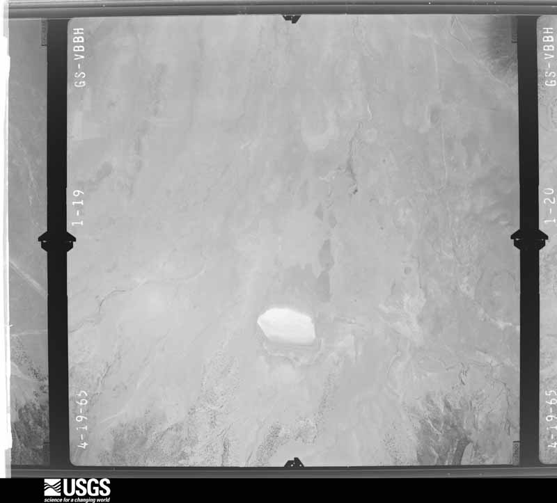
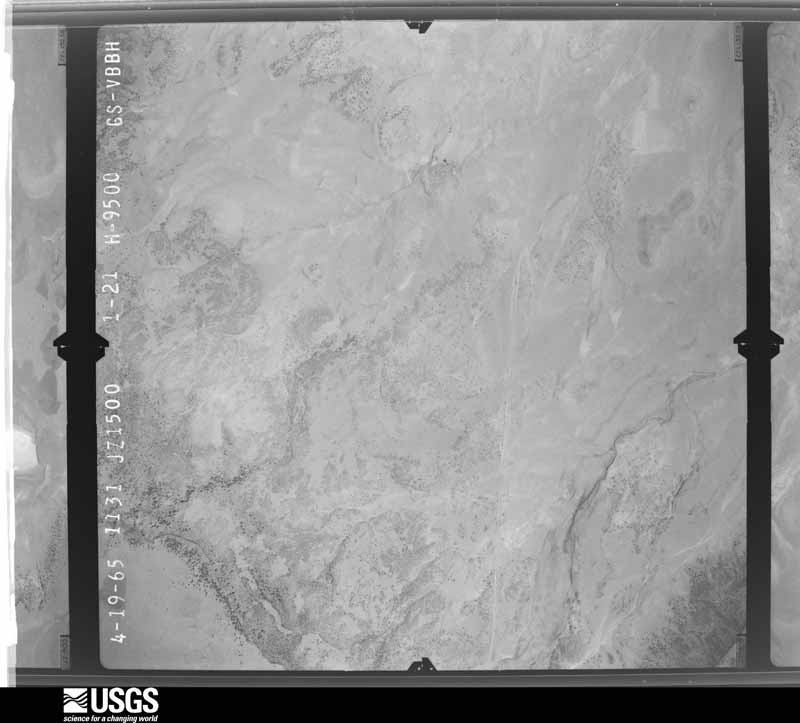
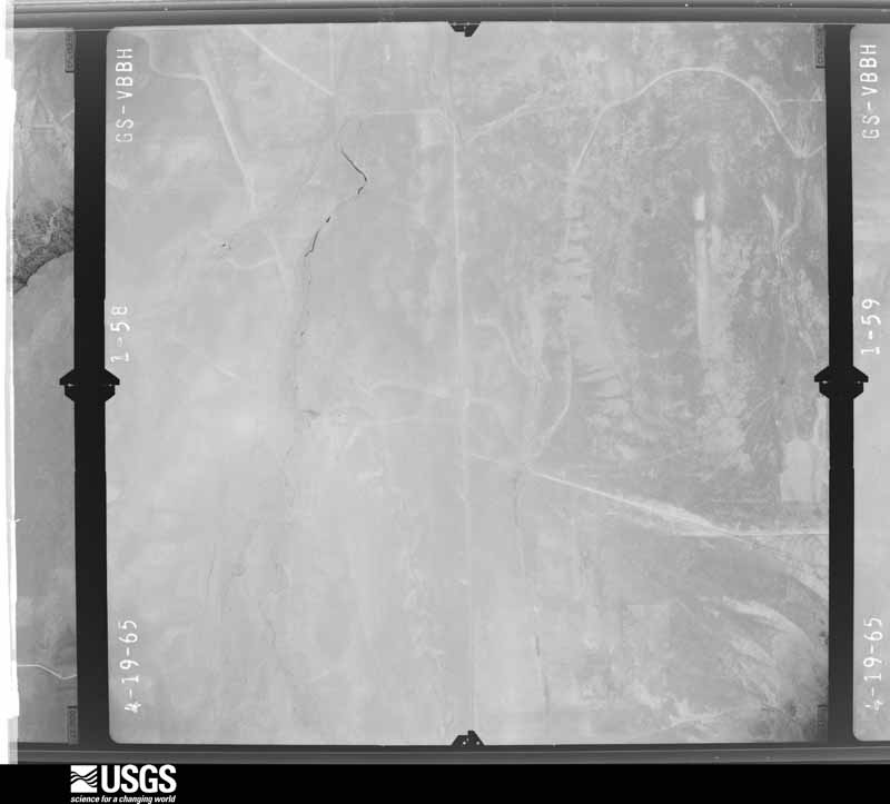
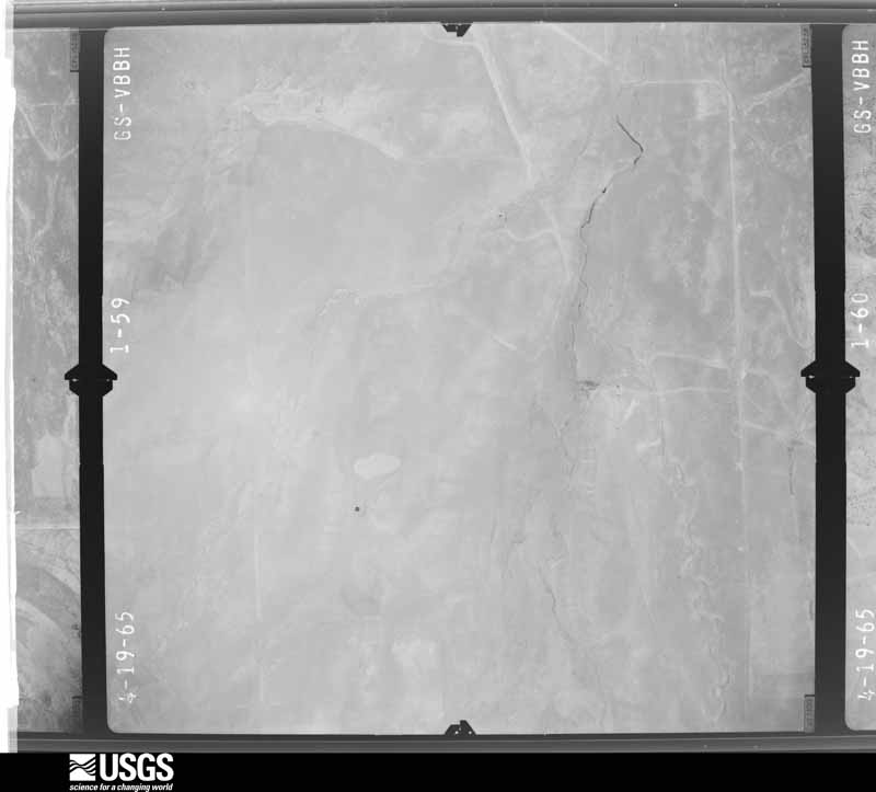
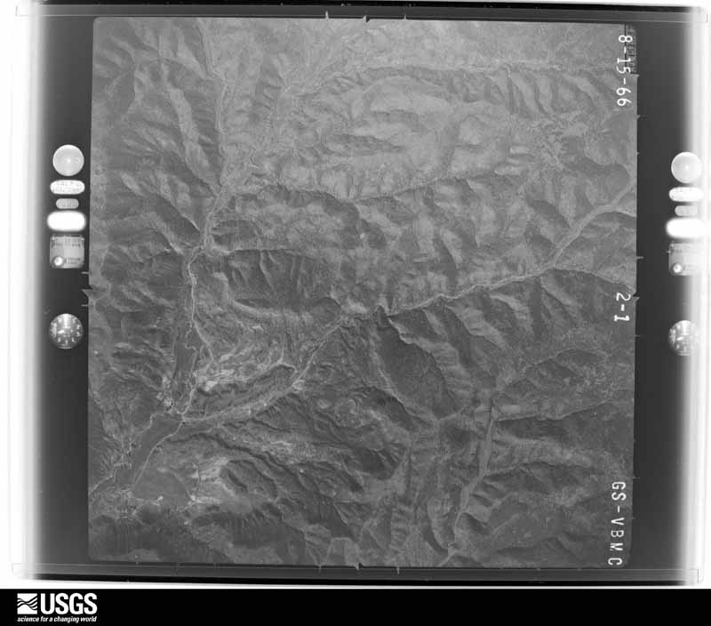
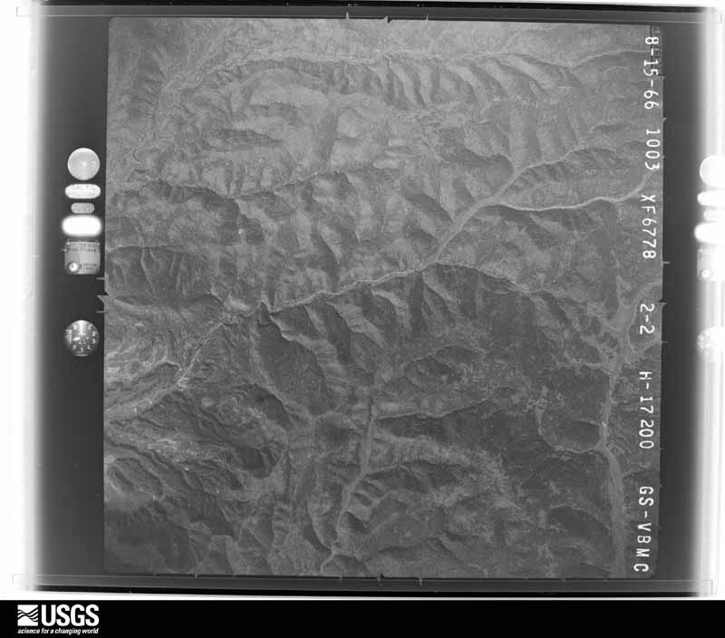
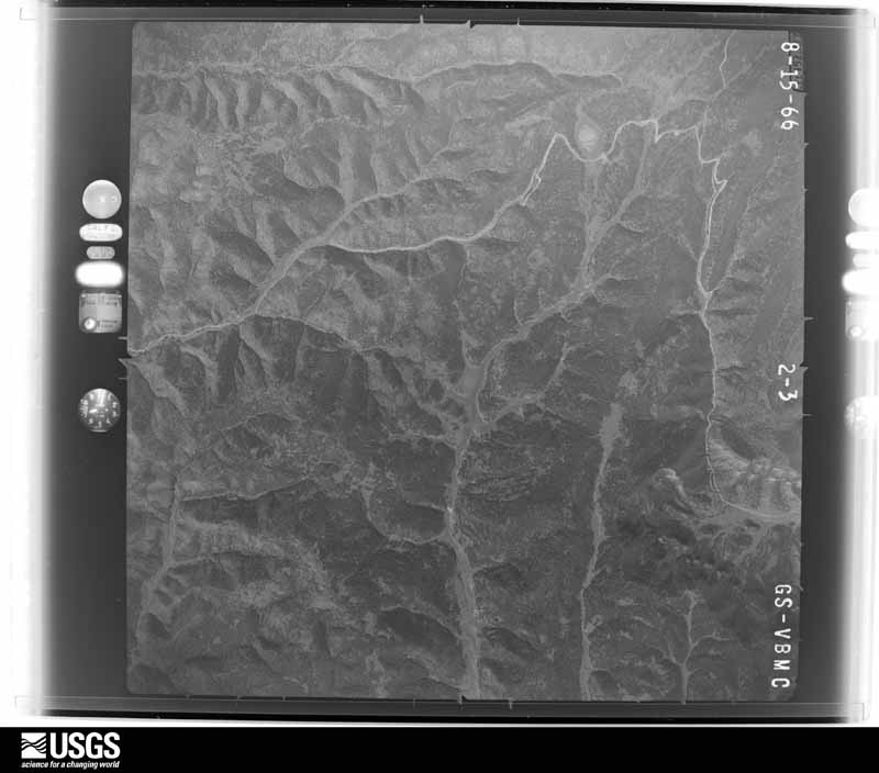
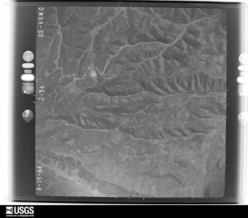
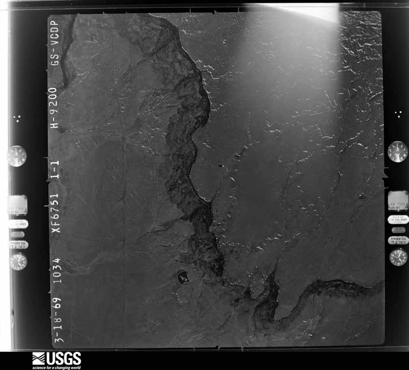
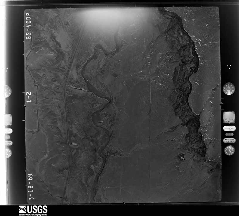
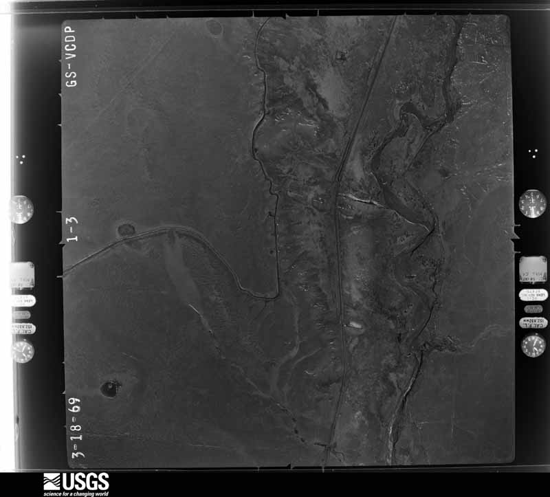
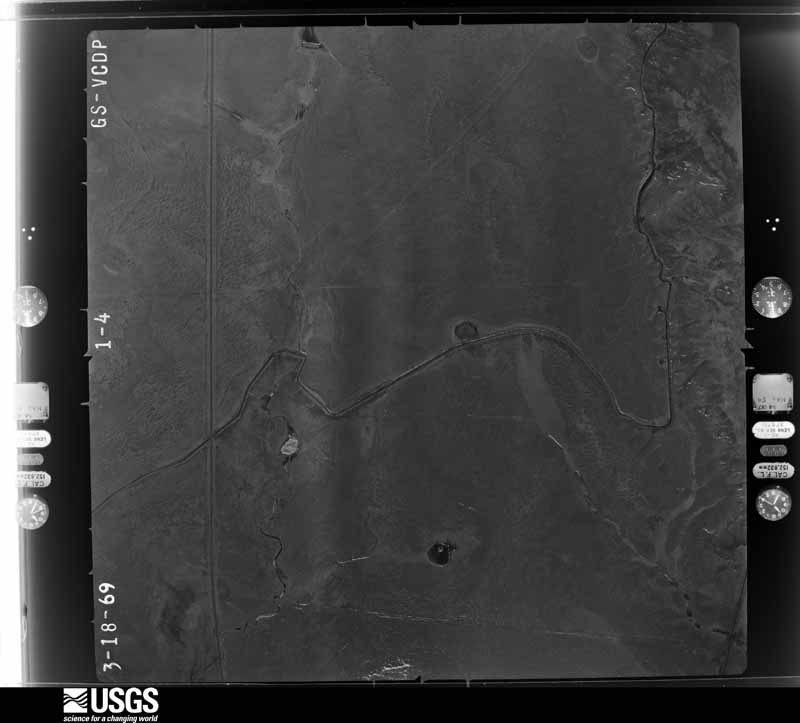
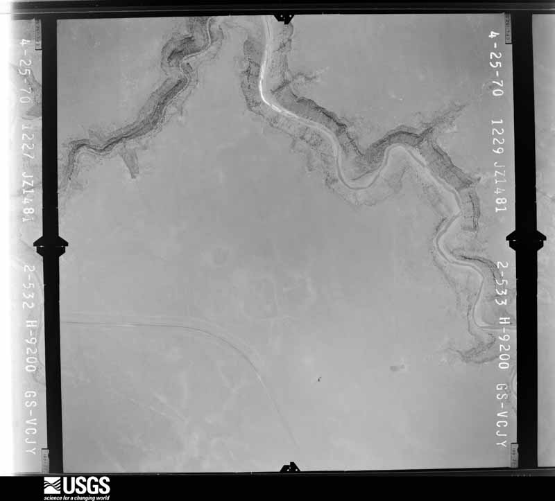
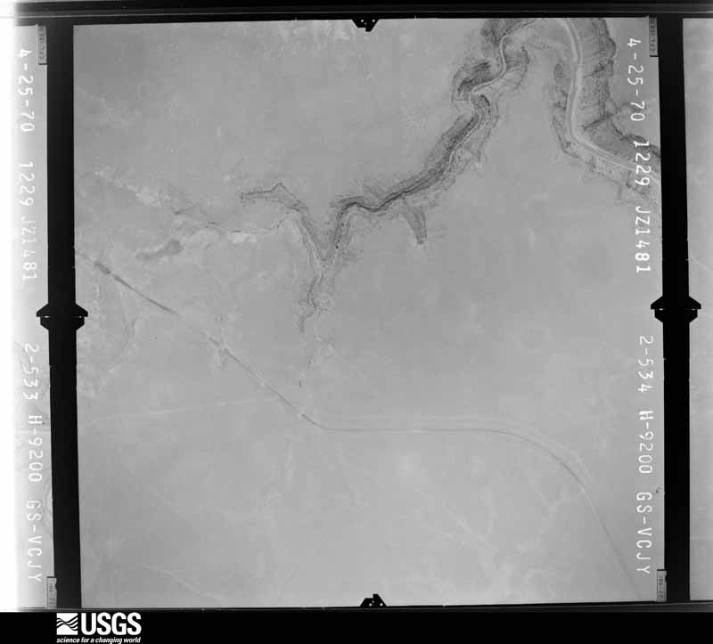
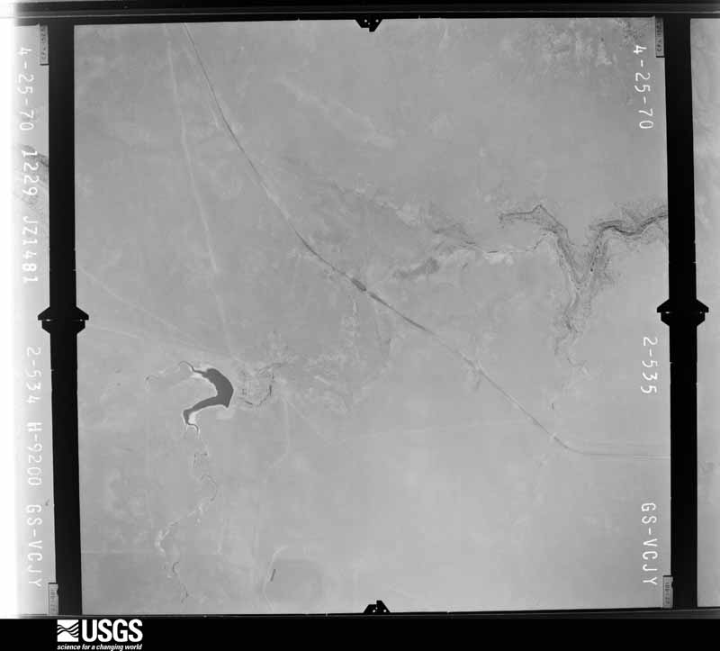
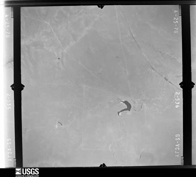
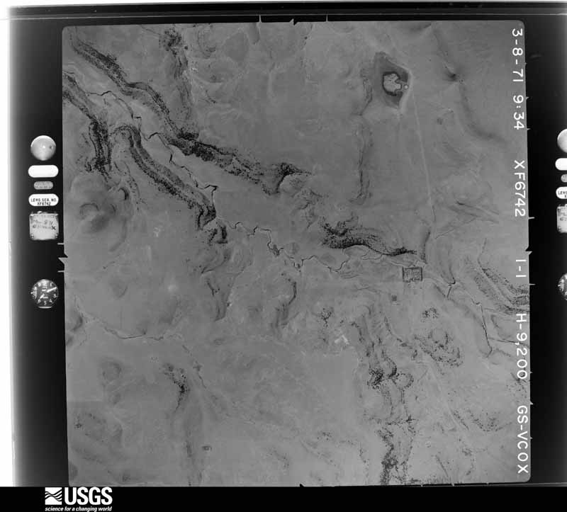
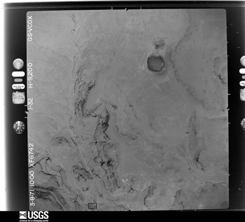
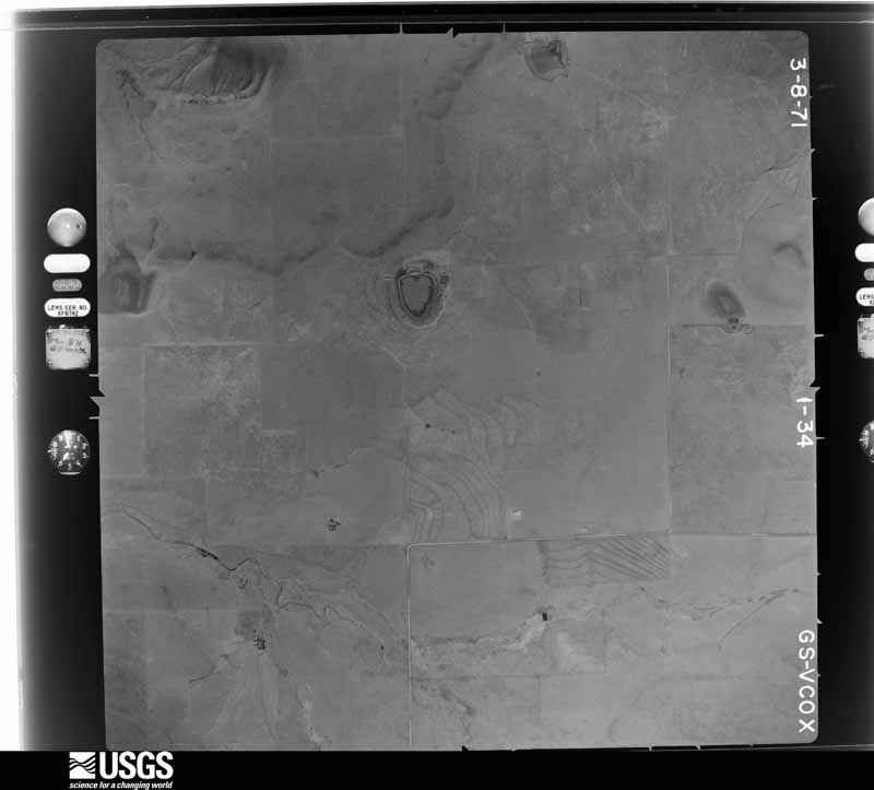
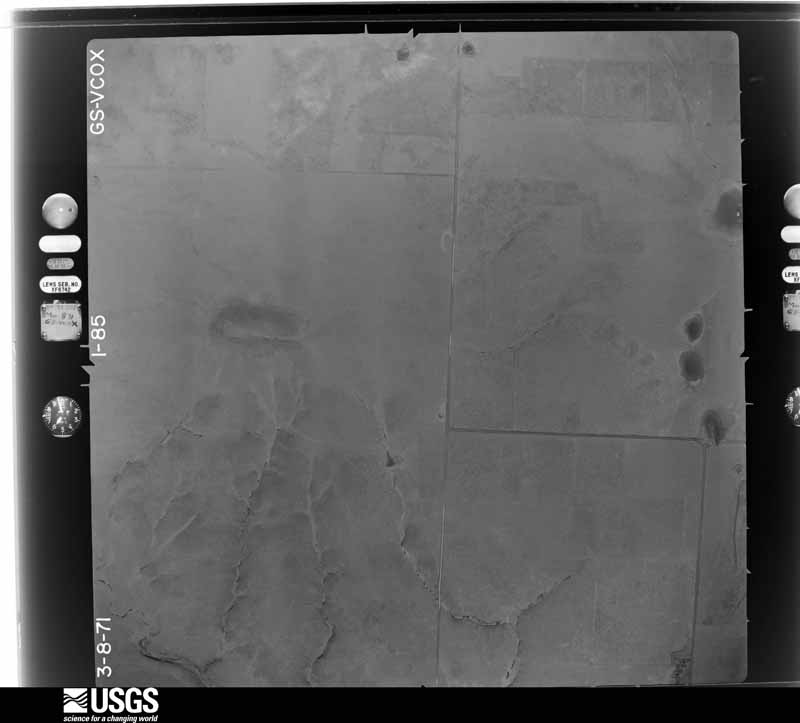
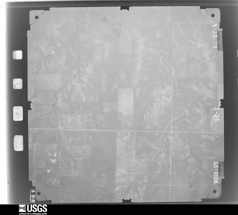
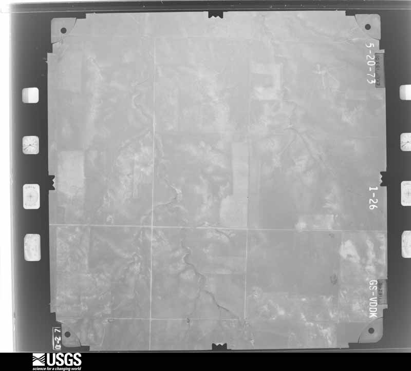
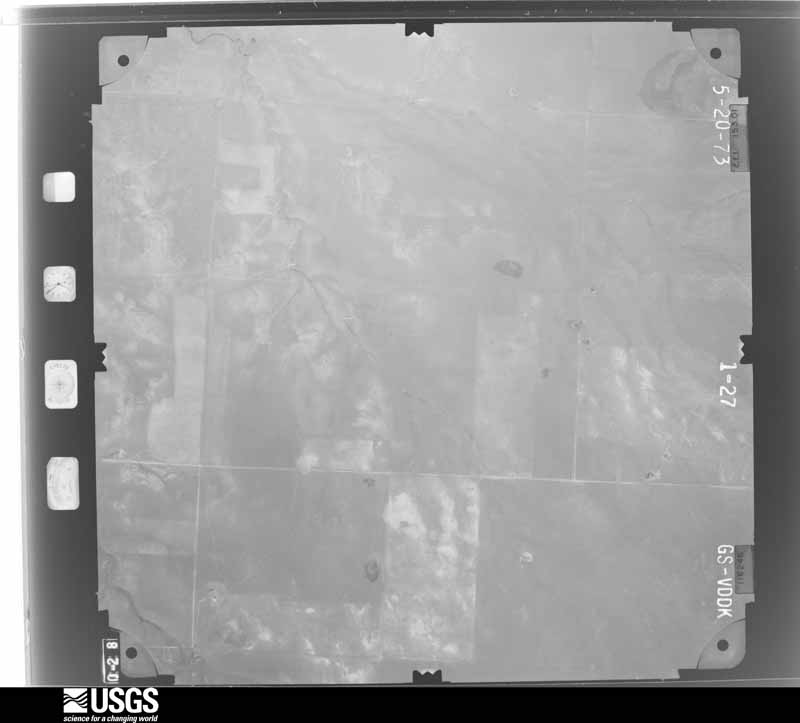
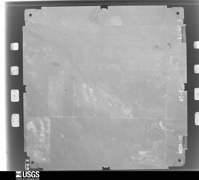
Flown by the U.S. Geological Survey between 1937 and 1989, the Aerial Photo Single Frames collection is the definitive mid-century view of the land: fields, roads and rivers as the camera saw them. The Survey holds 3,121 frames inside the rectangle that bounds this county; the 48 frames below were taken over the county itself, chosen across the decades of flights (at most four a year from that rectangle), so one flight cannot crowd out the rest. The full set is free to browse and download at EarthExplorer under the dataset Aerial Photo Single Frames.
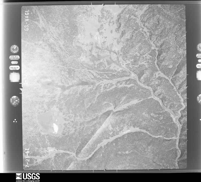
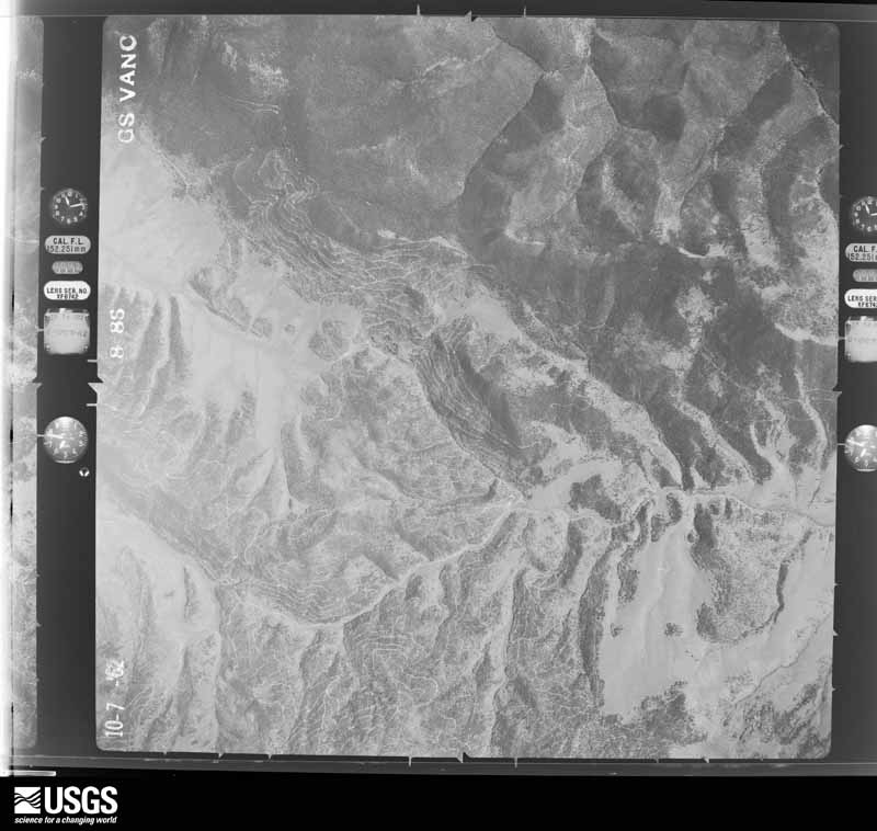
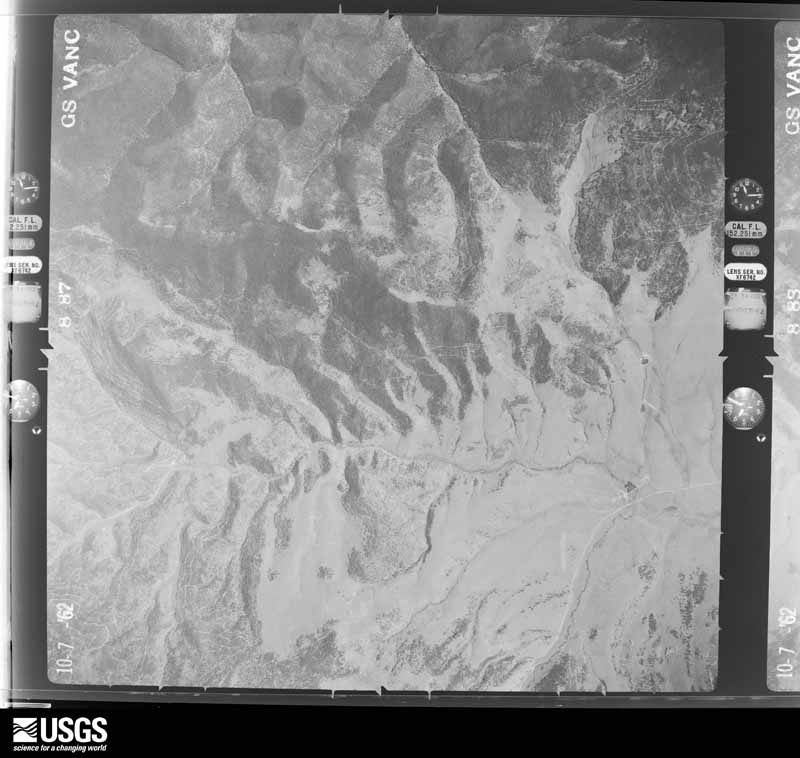
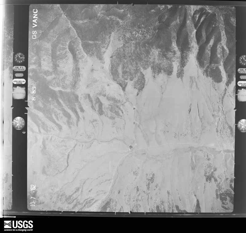
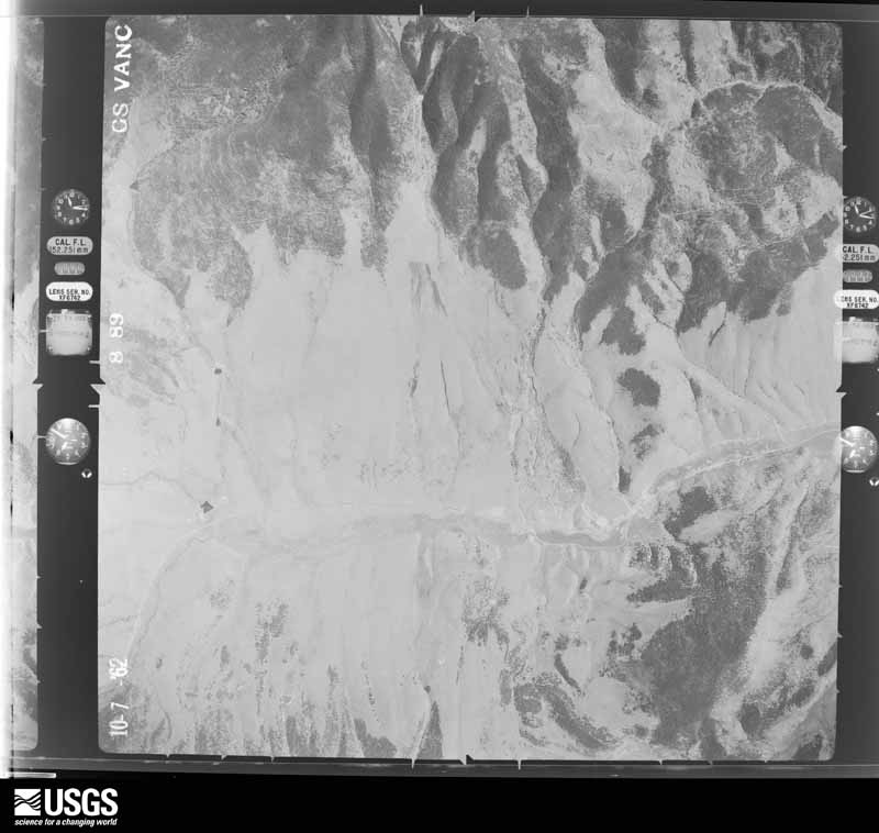
The thermometers that kept this county's weather, and the gages that measured the flow of its streams, as the federal records hold them. The extremes below are measured values from those records, not estimates.
Who lived here in 1950, one enumeration district at a time, as the Census Bureau described each district. Each row opens its official National Archives result, with Population Schedules and ED Maps available there.
Every wildfire the federal occurrence database records inside this county: 919 of them, burning about 273,652 acres. 589 started naturally and 1 was recorded as arson. Each settlement page carries the fires within five miles of it.
| Reported cause | Fires |
|---|---|
| Natural | 589 |
| Missing data/not specified/undetermined | 203 |
| Equipment and vehicle use | 61 |
| Debris and open burning | 22 |
| Power generation/transmission/distribution | 15 |
| Smoking | 14 |
| Recreation and ceremony | 9 |
| Misuse of fire by a minor | 3 |
| Fireworks | 1 |
| Firearms and explosives use | 1 |
| Arson/incendiarism | 1 |
The five largest, by the area the report gives. None of them was recorded as arson.
| Date | Cause | Size | Reported by | Name on the report |
|---|---|---|---|---|
| 3 June 2002 | Natural | 92,194 acres | New Mexico State Forestry Division | PONIL FIRE |
| 31 May 2018 | Missing data/not specified/undetermined | 36,740 acres | Cimarron District | UTE PARK |
| 1 March 2006 | Missing data/not specified/undetermined | 26,525 acres | New Mexico State Forestry Division | CASA |
| 12 June 2011 | Equipment and vehicle use | 19,970 acres | New Mexico State Forestry Division | TRACK |
| 26 February 1996 | Missing data/not specified/undetermined | 10,000 acres | New Mexico State Forestry Division | FARLEY |
| 28 June 2018 | Natural | 8,432 acres | Las Vegas District | EMILY |
| 1 June 2002 | Natural | 6,275 acres | New Mexico State Forestry Division | SPRING |
| 23 May 2010 | Debris and open burning | 5,100 acres | Cimarron District | H12 |
Every settlement page carries the fires within five miles of it - see the settlement index below.
The NOAA Storm Events Database holds 429 reports for this county, causing 3 deaths, 64 injuries and about $10,814,000 in recorded property damage. Each settlement page carries the reports that name it.
| Kind of event | Reports |
|---|---|
| Hail | 302 |
| Thunderstorm Wind | 51 |
| Flash Flood | 34 |
| Tornado | 22 |
| Funnel Cloud | 12 |
| Lightning | 3 |
| Wildfire | 2 |
| Flood | 2 |
| Heavy Rain | 1 |
The most serious of them, by death, then injury, then recorded damage. The accounts are quoted exactly as the forecast office filed them.
| When | Event | Place named | Harm | What the report says |
|---|---|---|---|---|
| May 1964 | Tornado (F3) | not stated | 1 killed, 8 hurt, $250,000 | no account filed |
| June 2015 | Flash Flood | Eagle Nest | 1 killed, 3 hurt, $50,000 | New Mexico Department of Transportation closed US Highway 64 as heavy rain caused debris, boulders and a mud slide to cover several miles of the road. Philmont Scout Ranch also reported major flash flooding on the Ponil Creek basin that ran through a boy scout camp site in the nearby mountains. The flooding washed away 4 boys, killing 1. |
| May 2014 | Lightning | Cimarron | 1 killed, 1 hurt | State police reported that a man was struck by lightning and killed while riding his motorcycle along U.S. Highway 84 just west of Cimarron at mile post 308 Friday afternoon. |
| June 1960 | Tornado (F0) | not stated | 34 hurt, $25,000 | no account filed |
| July 1996 | Tornado (F2) | Cimarron | 5 hurt, $1,680,000 | no account filed |
| June 1992 | Hail | not stated | 4 hurt | no account filed |
| July 2013 | Flash Flood | Raton | 3 hurt, $10,000 | Trained Spotter relayed video of flooding beneath a prominent underpass in north Raton. A woman drove her car with 2 children into water and became submerged and had to be rescued by officials. Water was reported to be 11-12ft deep. Flooding occurred in an underpass where 2nd St. in north Raton crosses the railroad tracks. Spotter reported a total rainfall amount of 1.47 inches with 1.22 inches with the initial burst and an inch of that falling in 30 minutes. Raton Creek was reported to be 7-8ft deep. |
| June 1992 | Thunderstorm Wind | not stated | 3 hurt | no account filed |
| June 1977 | Tornado | not stated | 1 hurt, $2,500 | no account filed |
| August 2006 | Lightning | Raton | 1 hurt | A construction working survived a lightning strike to the head with only minor injuries. Officials credit his hard hat for deflecting away the lightning strike which knocked him to the ground. The man remained conscious and was released from hospital after just a short stay of several hours. |
| July 1998 | Lightning | Eagle Nest | 1 hurt | A 38 year old man was injured slightly when struck by lightning while working outside at Eagle Nest. |
| August 1993 | Hail | Springer | $5,000,000 | Thunderstorms produced quarter-size hail in Raton at 1415 MST and dime-size hail in Maxwell at 1450 MST. Thunderstorms redeveloped in Colfax County later, producing a hail storm that lasted about 40 minutes in the Springer area. Baseball-size hail damaged about 55 state vehicles at the New Mexico Boys School just northwest of Springer. Eleven building sustained roofing, window or ventilation damage, including the Trades center, in which all 22 overhead skylights were broken. The storm caused many branches and limbs to break away from trees, littering the campus. School officials estimate the total damage to exceed $500,000. |
| August 2018 | Flash Flood | Ute Park | $1,000,000 | Widespread significant damage from flash flooding on the Ute Park burn scar. NMDOT closed U.S. Highway 64 due to flooding and debris over the roadway. A total of 28 homes were impacted, some were the same as the ones impacted on July 13th. Six homes were completely cut-off from access due to several feet of mud, rocks, and debris. Damage amounts are estimated. |
| September 2013 | Flood | (Rtn)Raton Crews Airport | $1,000,000 | A bridge was washed away northeast of Maxwell near county road A-7 with severe bank erosion along the Canadian River. A large culvert was washed out south of the Raton Crews Airport along county road A-6. Severe bank erosion also occurred in this area of the Canadian River and Tinaja Creek. Numerous other culvert and road wash outs were reported across the county. |
| August 2018 | Tornado (EF0) | Idlewild | $300,000 | A landspout tornado produced a narrow swath of damage near Eagle Nest. This is the first documented tornado in the Moreno Valley since at least 1950. The landspout tornado also exhibited anti-cyclonic rotation during its entire lifecycle. It had a classically narrow condensation funnel cloud and formed in a vast open area just|west of U.S. 64 between mile markers 283 and 284 near Pepper Sauce Camp. The landspout tornado crossed U.S. 64 very near Elk Lane Rd. tracking slightly north of due east until dissipating over the northeast portion of Eagle Nest Lake. Elevations along the track ranged from approximately 8350 feet to 8175 feet. Approximately 180 feet of barbed wire/picket fence was downed and damaged. Several steel t-posts were sheared or bent nearly 90-degrees. All 10 units that comprise the Pepper Sauce Camp property suffered damage. All but two of sixteen west-facing windows were partially or completely destroyed by flying debris. Windows and storm doors at the main building were partially or completely busted. A small car that was parked and facing east had|all but the front windshield busted out. The bed of an old truck used as a marketing sign was lifted and carried about 50 feet toward the southwest. The front windshield of an old Chevrolet C65 truck was struck no less than 75 times by flying debris but remained intact while both side windows were completely busted out. An old hay barn was collapsed and roofing material found 300 feet away. An unoccupied fifth wheel recreational vehicle with an estimated weight of 12,000 pounds was partially lifted, shifted and rolled on its side at the Eagle Nest Campground. Two other RVs sustained|damage to include busted windows, including a Class A diesel pusher (dry weight 32,000 pounds) that was oriented nearly perpendicular to the tornado`s path. Damage amounts have been estimated. |
| June 2004 | Hail | Raton | $300,000 | no account filed |
| August 2025 | Hail | Cimarron | $250,000 | A trained spotter with the Philmont Scout Ranch shared reports and video of quarter to hen egg size hail pelting the grounds. Hail damaged trees, 60 vehicles, and tore through camping equipment such as unoccupied tents. Thankfully there were no reports of fatalities or injuries. Damage is an estimate. |
| July 2018 | Flash Flood | Ute Park | $250,000 | Flood wave with mud, debris, and rocks resulted in damage to 12 homes and several vehicles. Four homes experienced moderate damage from water and debris. Septic systems and wells were impacted at several residences. Damage amounts are a rough estimate. |
| July 2021 | Flash Flood | Ute Park | $100,000 | A strong thunderstorm produced an estimated 1 inch of heavy rainfall in a short period of time on the Ute Park burn scar. This resulted in rapid runoff with emergency personnel reporting a six foot wall of water that flowed through Ute Park with a three foot rise of water in Cimarron. This damaged many roads in the area and trapped numerous residents within their homes. No injuries or fatalities resulted from the flash flooding. Damages are estimated. |
| August 2018 | Hail | Miami | $100,000 | Hail up to the size of ping pong balls produced damage on the east side of Miami. At least one vehicle had significant hail damage with windows smashed out. Windows and skylights were broken at other residences across town. Damage amounts are a rough estimate. |
| August 2008 | Flash Flood | Cimarron | $75,000 | Heavy rain of 4 to 6 inches fell in and near the town of Cimarron. Flash flooding occurred with several houses along U.S. Highway 64 flooded. Water flowed one to two feet deep through town. Two vehicles were washed off State Road 21. One person was injured attempting to rescue one of the motorists who was trapped in their vehicle. |
| October 2024 | Thunderstorm Wind | Raton Crews Arpt | $50,000 | A facebook post from the Cunico Ranch in Colfax County showed severe thunderstorm wind damage, including the destruction a detached garage or shed, and the roof being torn off another building that had been constructed over 100 years ago. Numerous other damage was shown to outdoor equipment and materials, including their power supply. Little visible damage was received to the barn and home. Damage is an estimate. |
| July 2022 | Flash Flood | Springer | $50,000 | Heavy rain near Springer flooded U.S. Highway 56, making it impassable. A barn along the highway had 4 inches of standing water while a house and its backyard had 2 to 3 inches of standing water. Damages are estimated. |
| August 2018 | Flash Flood | Ute Park | $50,000 | Significant flash flooding occurred along Eagle Lane and Turkey Roost Lane in Ute Park. Several of the homes and roads that were impacted by the August 2, 2018 flood event were flooded again in the event. Damage amounts are a very rough estimate for roadways and impacts to homes. |
| July 2016 | Hail | Abbott | $30,000 | Baseball size hail destroyed brand new pickup truck. |
| October 1997 | Thunderstorm Wind | Raton | $30,000 | Highway signs were blown over at the Raton Truck Stop. Trees and small lawn building were also damaged across town. |
| August 2020 | Thunderstorm Wind | Taylor Spgs | $25,000 | A severe thunderstorm that moved eastward along Highway 56 west of Abbott produced wind damage in the area. A COOP observer reported that a roof and two garage doors were blown off an outbuilding on a farm about twelve miles west of Abbott. Damage amounts are a rough estimate. |
| June 2015 | Thunderstorm Wind | Maxwell | $25,000 | Four 35 ft power poles and one 60 ft pole blown down from wet microburst along State Road 505. |
| August 1992 | Tornado (F1) | not stated | $25,000 | no account filed |
| August 2018 | Thunderstorm Wind | Miami | $20,000 | Peak winds estimated near 70 mph blew over a cow barn on a ranch in Miami. Damage amounts are a rough estimate. |
| October 1997 | Thunderstorm Wind | Springer | $20,000 | Utility lines and power poles were downed by thunderstorm winds. |
| August 2022 | Flash Flood | Rayado | $15,000 | The Colfax County emergency manager reported minor damage to State Route 21 as the nearby Moras Creek and Rayado Creek flowed over the roadway. Damage was mainly along the shoulder. Damages are estimated. |
| July 2023 | Hail | Abbott | $10,000 | Two glass windows were broken at a residence. A neighbor also reported five cars being dented by the hail. Damage is an estimate. |
| July 2021 | Hail | Dawson | $10,000 | A trained spotter reported golf ball size hail from a severe thunderstorm moving southwestward near Maxwell. The spotter did report that the hail caused roof damage to their home, but the extent of the damage is unknown. Damages are a rough estimate. |
| June 2014 | Hail | Maxwell | $10,000 | Large hail resulted in broken windows and car damage. Report received via Twitter. |
| October 1997 | Thunderstorm Wind | Raton | $10,000 | Snow fencing was ripped out by thunderstorm winds. |
| August 2020 | Thunderstorm Wind | Abbott | $5,000 | A severe thunderstorm that moved eastward along Highway 56 downed power lines about 5 miles west of Abbott. Damage amounts are a rough estimate. |
| August 2018 | Hail | Dawson | $5,000 | Abundant amounts of hail up to the size of half dollars 11 miles west-northwest of Maxwell. Roof damage reported from this storm. Damage amounts estimated for minor damage. |
| August 2018 | Flash Flood | Ute Park | $5,000 | Fast flowing water inundated U.S. Highway 64 near mile marker 295 just west of Ute Park. Damage amounts are estimated to roadways. |
| June 2014 | Thunderstorm Wind | Abbott | $5,000 | Trained spotter reported downed telephone pole from thunderstorm wind gusts estimated at 60mph or greater. |
| June 2008 | Thunderstorm Wind | Abbott | $5,000 | The thunderstorm wind gusts partially knocked over a windmill tower. A few branches were also downed from trees, with one branch knocking out the power. |
| June 1995 | Hail | Cimarron | $5,000 | Hail to golf ball-size damaged several cars in Cimarron. |
| August 1993 | Hail | Raton | $5,000 | Thunderstorms produced quarter-size hail in Raton at 1415 MST and dime-size hail in Maxwell at 1450 MST. Thunderstorms redeveloped in Colfax County later, producing a hail storm that lasted about 40 minutes in the Springer area. Baseball-size hail damaged about 55 state vehicles at the New Mexico Boys School just northwest of Springer. Eleven building sustained roofing, window or ventilation damage, including the Trades center, in which all 22 overhead skylights were broken. The storm caused many branches and limbs to break away from trees, littering the campus. School officials estimate the total damage to exceed $500,000. |
| July 2023 | Hail | Springer | $2,000 | Long lasting hail with strong winds and numerous tree branches downed. A report on twitter also indicated large hail broke a plate glass window in a shop in Springer. Power went out and did not come back on until 3pm local time on July 14th. Damage is an estimate. |
| June 2015 | Hail | Vermejo Park | $2,000 | Hail estimated at half dollar size caused dented hoods on trucks and broke a window in a building. |
| June 1998 | Thunderstorm Wind | Raton | $2,000 | no account filed |
| June 1994 | Hail | not stated | $500 | Severe thunderstorms caused considerable car and some roof damage at Raton and Springer. |
| June 2025 | Thunderstorm Wind | (Rtn)Raton Crews Airport | - | Estimated wind gusts of up to 60 mph were observed near Raton Crews Airport. |
| May 2025 | Hail | Cimarron | - | Penny size diameter hail was observed along State Highway 58 just east of Cimarron. |
| June 2025 | Hail | Eagle Nest | - | Penny size hail was observed in Eagle Nest from a strong thunderstorm. |
| June 2025 | Thunderstorm Wind | Raton Crews Arpt | - | The ASOS at Raton Crew Airport observed a peak gust of 61 mph from a nearby thunderstorm. |
| June 2025 | Hail | Cimarron | - | A trained spotter at the St. James Hotel in Cimarron observed nickel size hail from a severe thunderstorm tracking just south of the town. |
| June 2025 | Thunderstorm Wind | Raton Crews Arpt | - | The ASOS at Raton Crew Airport observed a wind gust of 68 mph from nearby thunderstorms. |
| August 2025 | Hail | Springer | - | The public and a trained spotter reported nickel to quarter size hail from a severe thunderstorm passing over Springer, NM. |
| August 2025 | Hail | (Rtn)Raton Crews Airport | - | A trained spotter reported 1.75 inch hail near the Raton Crews Airport. |
| August 2025 | Flash Flood | Miami | - | A trained spotter and the county emergency manager reported water flowing over several roadways, including NM Highway 21 along with hail accumulating on the roads near Miami. |
| August 2025 | Hail | Maxwell | - | A trained spotter in Maxwell, NM relayed reports from Facebook of half-dollar size hail from a severe thunderstorm just north of Maxwell passing over I-25. |
| June 2025 | Hail | Cimarron | - | Golf ball size hail was observed at Philmont Scout Ranch from a severe thunderstorm. |
| June 2025 | Thunderstorm Wind | Raton Crews Arpt | - | The Raton Airport ASOS measured a severe thunderstorm wind gust of 62 mph. |
| July 2025 | Hail | Abbott | - | The Abbott COOP observer reported hail up to quarter size from a severe thunderstorm. |
The Survey's mineral resources record lists 151 workings inside this county. 3 still produce and 148 are closed or unrecorded. Each settlement page carries the workings within five miles of it.
| Commodity | Workings |
|---|---|
| Sand and Gravel, Construction | 60 |
| Gold | 46 |
| Pumice | 16 |
| Copper | 6 |
| Silver, Gold | 4 |
| Iron | 4 |
| Copper, Silver | 3 |
| Silver | 3 |
| Graphite | 3 |
| Gold, Silver | 3 |
| Geothermal | 3 |
| Strontium, Barium-Barite | 2 |
| Lead, Silver | 2 |
| Copper, Gold | 2 |
The least common of them first, because a county's hundredth gravel pit says nothing its first ten did not.
| Where | Site | Commodity | Status | Recorded |
|---|---|---|---|---|
| Aztec Mine | Gold, Silver, Copper, Lead, Bismuth, Tellurium | Past Producer | 1868, 1940 | |
| Blasted Pine Claim | REE, Thorium, Niobium (Columbium), Strontium, Barium-Barite | Occurrence | Allanite, Barite, Svanbergite | |
| Cimarroncito District | Silver, Gold, Copper, Bismuth, Lead | Past Producer | 1890, 1939 | |
| Deep Tunnel | Gold, Molybdenum, Silver, Copper | Past Producer | 1919 | |
| Deep Tunnel | Gold, Molybdenum, Copper | Unknown | ||
| Elizabethtown - Baldy District | Lead, Silver, Gold, Copper, Nickel, Tungsten, Uranium | Past Producer | 1866 | |
| Golden Era Group | Silver, Tungsten, Gold | Past Producer | 1918 | |
| Hennigan Ranch Pit | Limestone, General | Producer | Caliche | |
| Iron Mountains Prospects | Gold, Copper, Iron | Past Producer | Contact Metasomatic | |
| Klondike Mine | Silver, Copper, Gold | Occurrence | Gold, Malachite | |
| Laughlin Peak Prospects | REE, Niobium (Columbium), Thorium, Strontium, Barium-Barite | Occurrence | 1954 | |
| Mystic Mine | Copper, Gold, Silver, Molybdenum | Past Producer | 1917 | |
| Red Bandana Mine | Silver, Gold, Copper, Lead | Past Producer | 1875, 1942 | |
| T.O. No. 1 Mine | Volcanic Materials | Producer | Scoria | |
| Torres Pit | Stone, Crushed/Broken | Unknown | ||
| Yellow Dog Group | Gold, Iron, Sulfur-Pyrite | Prospect | ||
| Legal Tender Mine | Gold, Lead, Silver | Past Producer | 1937 | |
| Loughlin Peak | Uranium | Prospect | ||
| Montezuma Mine | Gold, Lead, Silver | Past Producer | 1868, 1939 | |
| Pay Ore | Copper, Gold | Unknown | ||
| Shell Prospect | Uranium | Occurrence | ||
| Ajax Mine | Gold, Copper, Silver | Past Producer | 1895, 1940 | |
| California 1 Floersheim | Geothermal | Unknown | ||
| Chester Claim | Gold, Silver | Past Producer | ||
| Free Gold and Emerald Claims | Gold, Copper, Silver | Past Producer | 1895 | |
| Golden Era Group | Gold, Silver | Past Producer | ||
| Graphite Prospect | Graphite | Occurrence | ||
| Harry Lyons Group | Gold, Silver | Prospect | ||
| Legal Tender Mine | Gold, Silver | Past Producer | ||
| Monarch No 2 Claim | Gold, Silver, Iron | Prospect | ||
| Neill 3 Sauble | Geothermal | Unknown | ||
| Raton Deposit | Graphite | Prospect | 1889 | |
| Standard Graphite Co Prospect | Graphite | Prospect | ||
| Thunder Mine | Gold, Copper, Silver | Unknown | ||
| York 1 Tex-Mex | Geothermal | Unknown | ||
| Ajax Mine | Gold, Iron | Past Producer | ||
| Black Horse Mine | Silver, Gold, Copper | Past Producer | 1885, 1950 | |
| French Henry Mine | Silver, Gold, Copper | Past Producer | 1869, 1875, 1937 | |
| Iron Mountain Prospect | Gold, Iron | Past Producer | ||
| Rebel Chief Mine | Silver, Gold | Past Producer | 1939 | |
| Anaconda Mine | Copper | Unknown | ||
| Garst Mine | Gold, Copper | Unknown | ||
| Mystic Mine | Copper | Past Producer | ||
| Smuggler Mine | Gold, Copper | Past Producer | ||
| B T U | Pumice | Past Producer | ||
| Cinder Butte | Pumice | Unknown | ||
| Cook Hill | Pumice | Unknown | ||
| Dale Mountain | Pumice | Unknown | ||
| Horse Shoe Crater | Pumice | Unknown | ||
| Jose Butte | Pumice | Unknown | ||
| Red Mountain | Pumice | Unknown | ||
| Tondrow Peak | Pumice | Unknown | ||
| Unnamed Prospect | Pumice | Unknown | ||
| Unnamed Prospect | Pumice | Unknown | ||
| Unnamed Prospect | Pumice | Unknown | ||
| Unnamed Prospect | Pumice | Past Producer | ||
| Unnamed Prospect | Pumice | Unknown | ||
| Unnamed Prospect | Pumice | Unknown | ||
| Unnamed Prospect | Pumice | Unknown | ||
| Unnamed Prospect | Pumice | Unknown | ||
| Alabama | Gold | Unknown | ||
| American | Gold | Unknown | ||
| Aztec Extension | Gold | Unknown | ||
| Aztec Mine | Gold | Past Producer | ||
| Ben Hur | Gold | Unknown | ||
| Black Horse Group | Gold | Past Producer | ||
| Bull of the Woods Mine | Gold | Past Producer | ||
| Confidence | Gold | Unknown | ||
| Contention Mine | Gold | Unknown | ||
| Denver | Gold | Unknown | ||
| French Henry Mine | Gold | Past Producer | ||
| Galena | Gold | Unknown | ||
| Gold Dollar | Gold | Occurrence | ||
| Gold Leaf | Gold | Unknown | ||
| Harmon | Gold | Unknown | ||
| Harry Bluff | Gold | Unknown | ||
| Hidden Treasure Hematite Creek | Gold | Unknown | ||
| Hidden Treasure Group | Gold | Occurrence | Gold | |
| Hidden Treasure Willow Creek | Gold | Unknown | ||
| Klondike Mine | Gold | Unknown | ||
| Montezuma Mine | Gold | Past Producer | ||
| Moreno Centennial | Gold | Unknown | ||
| Only Chance | Gold | Unknown | ||
| Oro Dredging Co Claims | Gold | Unknown | ||
| Paragon Claim | Gold | Past Producer | ||
| Prichard | Gold | Unknown | ||
| Rebel Chief Mine | Gold | Past Producer | ||
| Rebel Chief Placer | Gold | Unknown | ||
| Red Bandanna Group | Gold | Past Producer | ||
| Sheridan | Gold | Unknown | ||
| Tomboy | Gold | Occurrence | ||
| C003-002 | Sand and Gravel, Construction | Producer | Sedimentary | |
| Maldonado Pit | Sand and Gravel, Construction | Unknown | ||
| Materals Pit | Sand and Gravel, Construction | Unknown | ||
| Materials Pit | Sand and Gravel, Construction | Unknown | ||
| Materials Pit | Sand and Gravel, Construction | Unknown | ||
| Materials Pit | Sand and Gravel, Construction | Unknown | ||
| Materials Pit | Sand and Gravel, Construction | Unknown | ||
| Materials Pit | Sand and Gravel, Construction | Unknown | ||
| Materials Pit | Sand and Gravel, Construction | Unknown | ||
| Materials Pit | Sand and Gravel, Construction | Unknown | ||
| Materials Pit | Sand and Gravel, Construction | Unknown | ||
| Materials Pit | Sand and Gravel, Construction | Unknown | ||
| Materials Pit | Sand and Gravel, Construction | Unknown | ||
| Materials Pit | Sand and Gravel, Construction | Unknown | ||
| Materials Pit | Sand and Gravel, Construction | Unknown | ||
| Materials Pit | Sand and Gravel, Construction | Unknown | ||
| Materials Pit | Sand and Gravel, Construction | Unknown | ||
| Materials Pit | Sand and Gravel, Construction | Unknown | ||
| Materials Pit | Sand and Gravel, Construction | Unknown | ||
| Materials Pit | Sand and Gravel, Construction | Unknown | ||
| Materials Pit | Sand and Gravel, Construction | Unknown | ||
| Materials Pit | Sand and Gravel, Construction | Unknown | ||
| Materials Pit | Sand and Gravel, Construction | Unknown | ||
| Materials Pit | Sand and Gravel, Construction | Unknown | ||
| Materials Pit | Sand and Gravel, Construction | Unknown | ||
| Materials Pit | Sand and Gravel, Construction | Unknown | ||
| Materials Pit | Sand and Gravel, Construction | Unknown | ||
| Materials Pit | Sand and Gravel, Construction | Unknown | ||
| Materials Pit | Sand and Gravel, Construction | Unknown | ||
| Materials Pit | Sand and Gravel, Construction | Unknown | ||
| Materials Pit | Sand and Gravel, Construction | Unknown | ||
| Materials Pit | Sand and Gravel, Construction | Unknown | ||
| Materials Pit | Sand and Gravel, Construction | Unknown | ||
| Materials Pit | Sand and Gravel, Construction | Unknown | ||
| Materials Pit | Sand and Gravel, Construction | Unknown | ||
| Materials Pit | Sand and Gravel, Construction | Unknown | ||
| Materials Pit | Sand and Gravel, Construction | Unknown | ||
| Materials Pit | Sand and Gravel, Construction | Unknown | ||
| Materials Pit | Sand and Gravel, Construction | Unknown | ||
| Materials Pit | Sand and Gravel, Construction | Unknown | ||
| Materials Pit | Sand and Gravel, Construction | Unknown | ||
| Materials Pit | Sand and Gravel, Construction | Unknown | ||
| Materials Pit | Sand and Gravel, Construction | Unknown | ||
| Materials Pit | Sand and Gravel, Construction | Unknown | ||
| Materials Pit | Sand and Gravel, Construction | Unknown | ||
| Materials Pit | Sand and Gravel, Construction | Unknown | ||
| Materials Pit | Sand and Gravel, Construction | Unknown | ||
| Materials Pit | Sand and Gravel, Construction | Unknown | ||
| Materials Pit | Sand and Gravel, Construction | Unknown | ||
| Materials Pit | Sand and Gravel, Construction | Unknown | ||
| Materials Pit | Sand and Gravel, Construction | Unknown | ||
| Materials Pit | Sand and Gravel, Construction | Unknown | ||
| Materials Pit | Sand and Gravel, Construction | Unknown | ||
| Materials Pit | Sand and Gravel, Construction | Unknown | ||
| Materials Pit | Sand and Gravel, Construction | Unknown | ||
| Materials Pit | Sand and Gravel, Construction | Unknown | ||
| Materials Pit | Sand and Gravel, Construction | Unknown | ||
| Moore Pit | Sand and Gravel, Construction | Unknown | ||
| Springer Pit | Sand and Gravel, Construction | Past Producer | ||
| Unknown | Sand and Gravel, Construction | Unknown |
Named settlements recorded in the Geographic Names Information System, each with the topographic sheets covering it. Villages, hamlets and abandoned places alike. Each is shown with the nearest named watercourse or landform and the survey quadrangle it falls on. The 4 places that were also surveyed for fire insurance come first, with the number of atlases and photographs held for them.
Cimarron census division · 87714 · Near Nash Gulch · Cimarron quadrangle
11 sheets, 1954 to 1987
Fire insurance: 2 atlases
Springer census division · 87728 · On Spring Arroyo · Maxwell quadrangle
11 sheets, 1915 to 1981
Fire insurance: 2 atlases
Raton census division · 87740 · Near Goat Hill · Raton quadrangle
15 sheets, 1912 to 1981
Fire insurance: 9 atlases
Springer census division · 87747 · On Salado Creek · Springer quadrangle
8 sheets, 1954 to 1981
Fire insurance: 7 atlases
Springer census division · 87747 · Near Anderson Draw · Abbott quadrangle
8 sheets, 1954 to 1981
Cimarron census division · 87710 · On Ninemile Creek · Palo Flechado Pass quadrangle
11 sheets, 1954 to 1995
Cimarron census division · 87710 · On Jarosa Creek · Osha Mountain quadrangle
11 sheets, 1954 to 1995
Cimarron census division · 87710 · On Little Coyote Creek · Agua Fria Peak quadrangle
14 sheets, 1954 to 1994
Raton census division · 87740 · Near Rockhouse Canyon · Tin Pan Canyon quadrangle
11 sheets, 1915 to 1981
Raton census division · 87740 · On East Fork Chicorica Creek · Yankee quadrangle
15 sheets, 1912 to 1981
Raton census division · 87740 · Near Vermejo Park · Casa Grande quadrangle
10 sheets, 1954 to 1986
Springer census division · 87740 · Near Pipeline Canyon · Point of Rocks Mesa quadrangle
8 sheets, 1954 to 1981
Raton census division · Near Rail Canyon · Dawson quadrangle
11 sheets, 1954 to 1987
No longer a settlement
Cimarron census division · 87718 · Near Aztec Ridge · Baldy Mountain quadrangle
15 sheets, 1954 to 1995
No longer a settlement
Raton census division · 87740 · Near Cottonwood Canyon · Clifton House quadrangle
15 sheets, 1912 to 1981
Cimarron census division · 87718 · On Willow Creek · Eagle Nest quadrangle
11 sheets, 1954 to 1995
Cimarron census division · 87718 · On Pine Gulch · Eagle Nest quadrangle
11 sheets, 1954 to 1995
Raton census division · 87740 · In Gardiner Canyon · Raton quadrangle
15 sheets, 1912 to 1981
Raton census division · 87740 · On Parker Arroyo · Eagle Tail Mountain quadrangle
8 sheets, 1954 to 1981
Cimarron census division · 87718 · On Hematite Park · Red River Pass quadrangle
10 sheets, 1954 to 1995
No longer a settlement
Cimarron census division · 87718 · On Probar Creek · Eagle Nest quadrangle
11 sheets, 1954 to 1995
Cimarron census division · 87718 · On Probar Creek · Eagle Nest quadrangle
11 sheets, 1954 to 1995
Cimarron census division · Near Stag Canyon · Dawson quadrangle
11 sheets, 1954 to 1987
No longer a settlement
Cimarron census division · 87718 · On Mill Creek · Red River Pass quadrangle
10 sheets, 1954 to 1995
No longer a settlement
Springer census division · 87740 · Near Laird Canyon · Palo Blanco Mountain quadrangle
8 sheets, 1954 to 1981
No longer a settlement
Cimarron census division · 87718 · On Tolby Creek · Touch-Me-Not Mountain quadrangle
13 sheets, 1954 to 1987
No longer a settlement
Springer census division · 87728 · On Tinaja Creek · Eagle Tail Mountain quadrangle
8 sheets, 1954 to 1981
Cimarron census division · On South Poñil Creek · Cimarron quadrangle
11 sheets, 1954 to 1987
Raton census division · 87740 · In Sugarite Canyon · Raton quadrangle
15 sheets, 1912 to 1981
Cimarron census division · 87714 · On La Maquina Creek · Rayado quadrangle
12 sheets, 1954 to 1987
Cimarron census division · 87729 · Rayado quadrangle
12 sheets, 1954 to 1987
No longer a settlement
Springer census division · 87740 · Near Las Mesetas · Lawrence Arroyo quadrangle
8 sheets, 1954 to 1981
No longer a settlement
Springer census division · 87747 · On Cimarron River · Taylor Springs quadrangle
8 sheets, 1954 to 1981
Raton census division · 87740 · Near Mine Canyon · Eagle Tail Mountain quadrangle
8 sheets, 1954 to 1981
Cimarron census division · 87749 · Near Cimarron Canyon · Ute Park quadrangle
13 sheets, 1954 to 1987
Raton census division · Near Negro Canyon · Red River Peak quadrangle
12 sheets, 1915 to 1981
Cimarron census division · 87718 · Near Iron Mountain · Touch-Me-Not Mountain quadrangle
13 sheets, 1954 to 1987
Raton census division · 87740 · Near Brides Pocket · Yankee quadrangle
15 sheets, 1912 to 1981
The vanished settlements of Colfax County: the places named above that are no longer on the map.
15 topographic sheets and 9 fire insurance atlases, 1886 to 1948
8 topographic sheets and 7 fire insurance atlases, 1890 to 1939
11 topographic sheets and 2 fire insurance atlases, 1929
11 topographic sheets and 2 fire insurance atlases, 1929
The complete index, with nothing left out. Each of these is a separate record with its own page: a federal survey report, or the case file that argued a property on to the National Register. Both are public domain and reproduced word for word.
The vanished settlements of Colfax County, the places these records name that are no longer on the map.