 Block
Gallup, New Mexico
15 topographic sheets cover this place, the earliest surveyed in 1886 and the latest in 1981. It stands in the Gallup census division. It lies in ZIP code area 87301. It lies near Black Diamond Canyon. The Survey maps it on the Gallup East quadrangle. 21,899 people lived here at the 2020 count. It stands 6,467 feet above sea level.
Research this city
On record in Gallup
Buildings and businesses the archive holds for this place. Each opens its own page, with the source record it came from.
On the National Register 12 of 16 shown
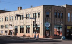 201-203 W Coal Avelisted 2016
 Chief Theaterlisted 1988
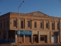 Drake Hotellisted 1988
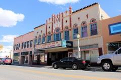 El Morro Theaterlisted 1988
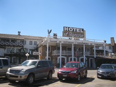 El Rancho Hotellisted 1988
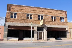 Grand Hotellisted 1988
 Lebanon Lodge No. 22listed 1989
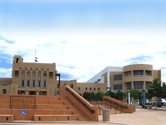 McKinley County Courthouselisted 1989
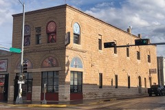 Palace Hotellisted 1988
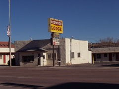 Redwood Lodgelisted 1998
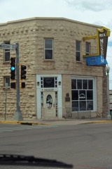 Rex Hotellisted 1988
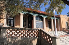 US Post Officelisted 1988
Every listing in McKinley County
Surveyed buildings and structures 3 records
- Fort Wingate Depot Activity, Gallupfederal building survey, 1 photograph
- Fort Wingate, Barracks, East of Main Street (North & South) & between Bearline & Main Street (East & West), Gallupfederal building survey, 16 photographs
- Fort Wingate, Subsistence Storehouse, East intersection of Main & Bearline Streets, Gallupfederal building survey, 11 photographs
Population over time
2 figuresGallup grew from 21,678 to 21,899 between 2010 and 2020. These are the recorded population figures Wikidata holds for this place, reached through the Geographic Names Information System number this page is keyed on rather than by name, so they belong to this place and not to another of the same name. Most are census counts, but not all are: an early figure may be a founding or settlement estimate, and an estimate published within five years of a census is left out. The change column is computed, and is left blank where more than 20 years separate a figure from the one before it, because a gap that long is not a change between two counts.
| Year | People | Change |
|---|---|---|
| 2010 | 21,678 | |
| 2020 | 21,899 | +221 (+1%) |
Topographic sheets covering this place
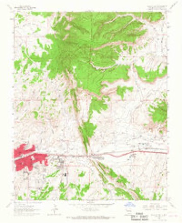
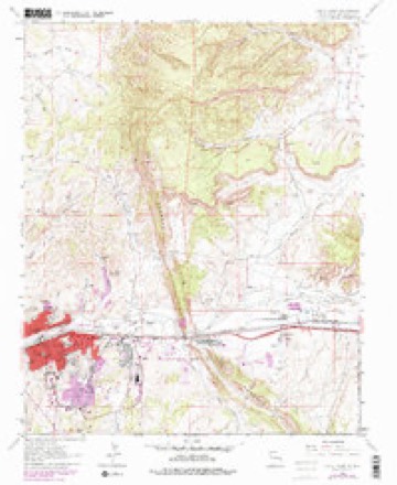
10 surveys from 15 printed sheetsMatched by testing this settlement's coordinate against the published boundary of every sheet in the United States Geological Survey's historical collection. Each opens the scanned sheet at the Survey.
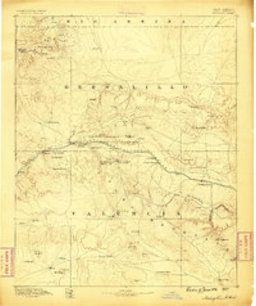
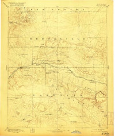
- 1886 USGS Wingate quadrangle1:250000
- 1892 USGS Wingate quadrangle1:250000, 4 printings
- 1954 USGS Gallup quadrangle1:250000, 2 printings
- 1958 USGS Gallup quadrangle1:250000
- 1959 USGS Gallup quadrangle1:250000
- 1962 USGS Gallup quadrangle1:250000
- 1963 USGS Gallup East quadrangle1:24000, 2 printings
- 1967 USGS Gallup quadrangle1:250000
- 1979 USGS Gallup East quadrangle1:24000
- 1981 USGS Gallup quadrangle1:100000
Photographs
8 of 35 photographs shown, 1943 to 2020Taken for the Office of War Information and the Farm Security Administration, who photographed the country between 1935 and 1944. Works of United States government photographers, with no known restriction on use. Each opens its catalogue record.
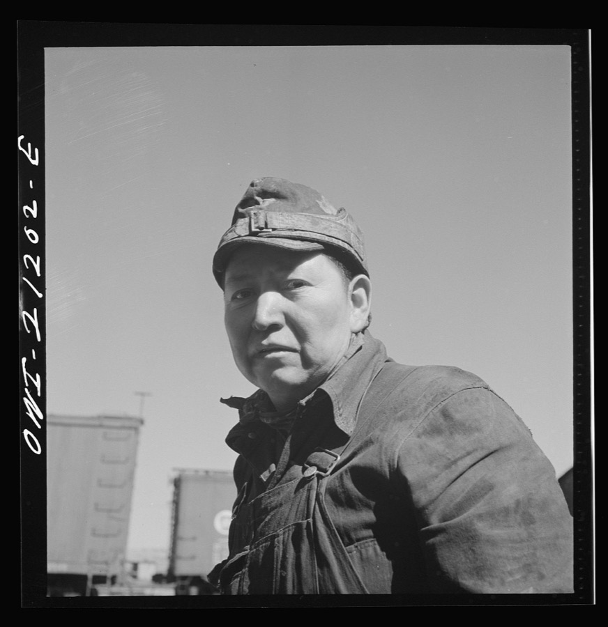
Delano, Jack, 1943. Library of Congress
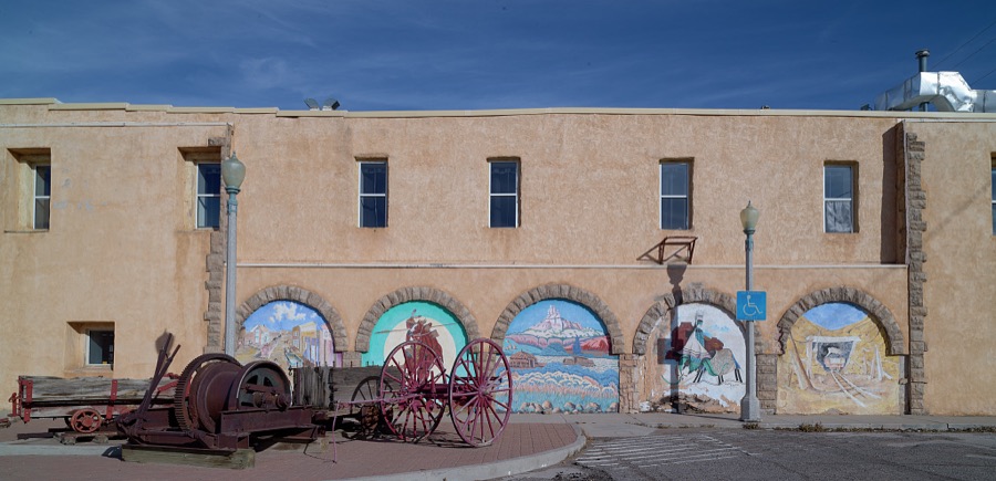
Highsmith, Carol M, 2020. Library of Congress
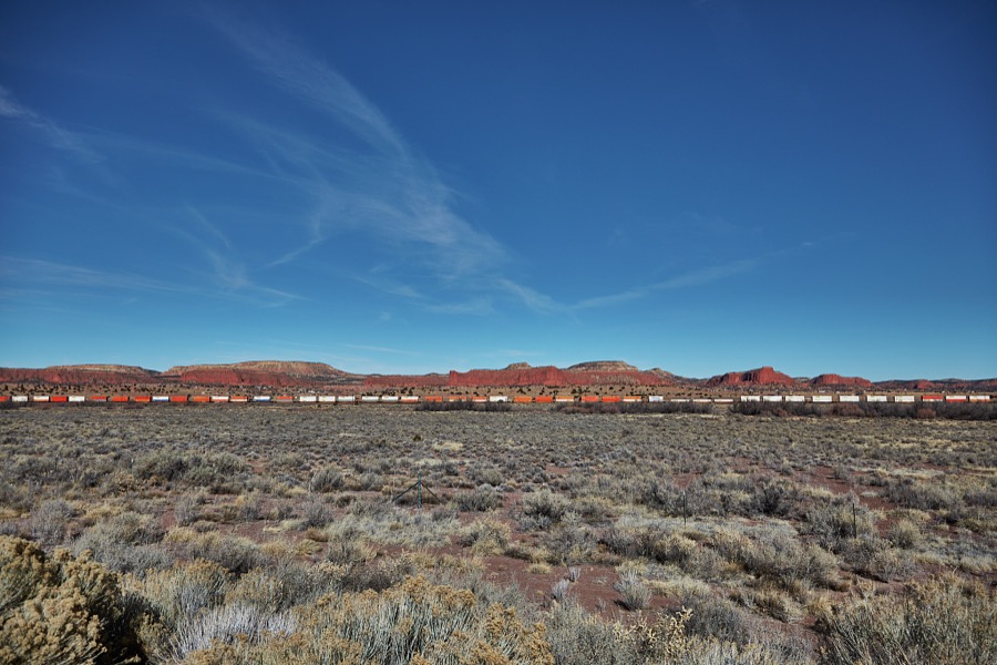
Highsmith, Carol M, 2020. Library of Congress
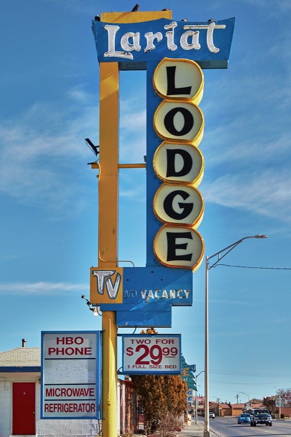
Highsmith, Carol M, 2020. Library of Congress
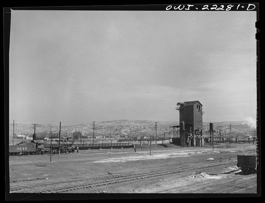
Delano, Jack, 1943. Library of Congress
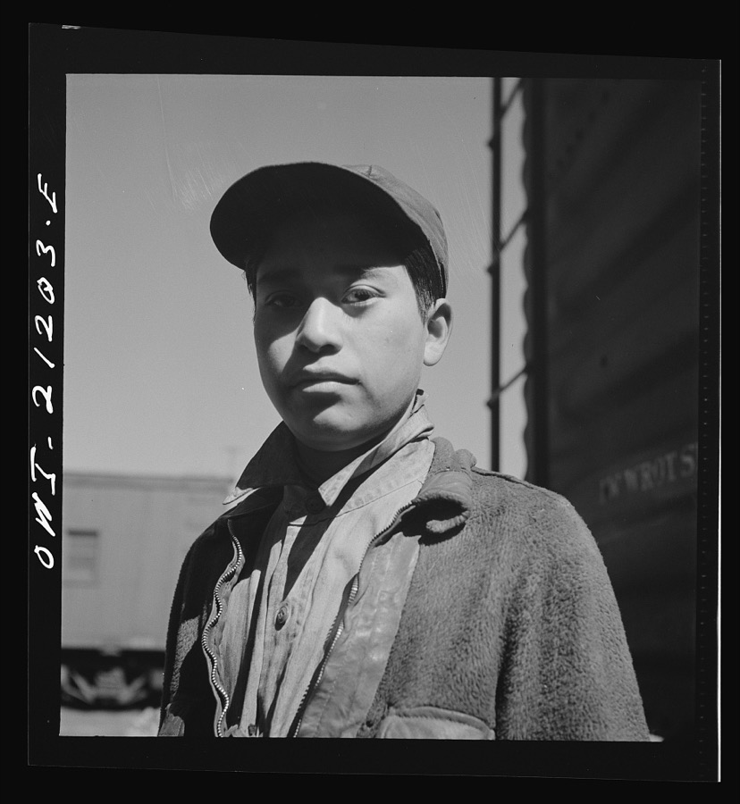
Delano, Jack, 1943. Library of Congress
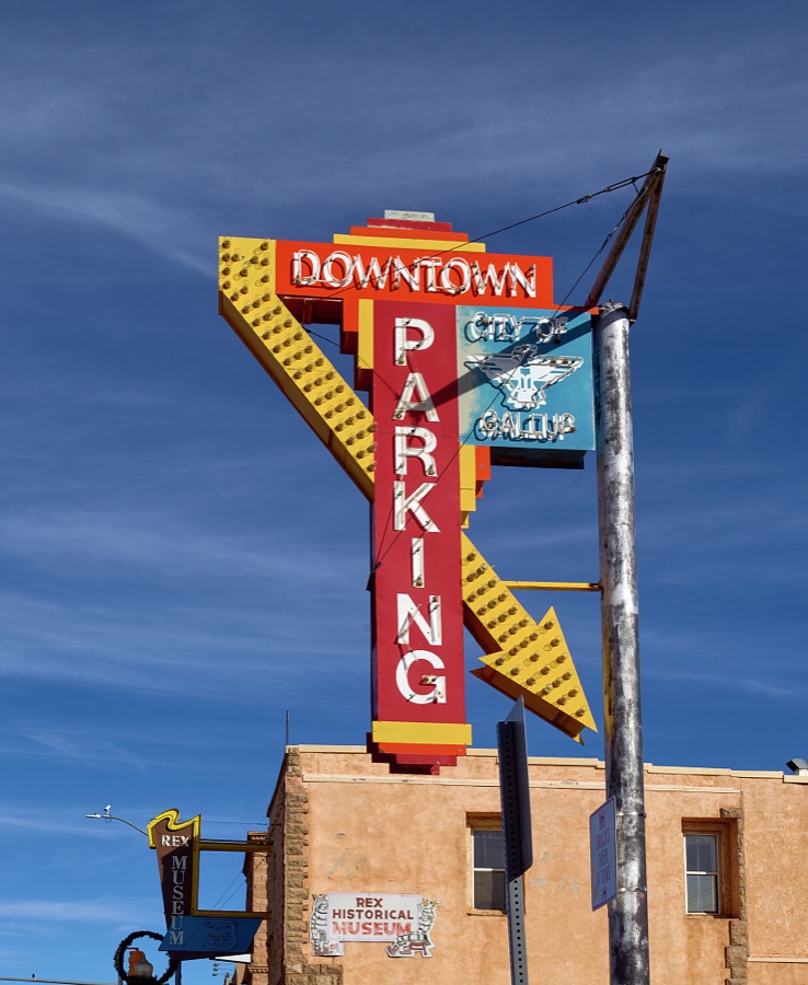
Highsmith, Carol M, 2020. Library of Congress
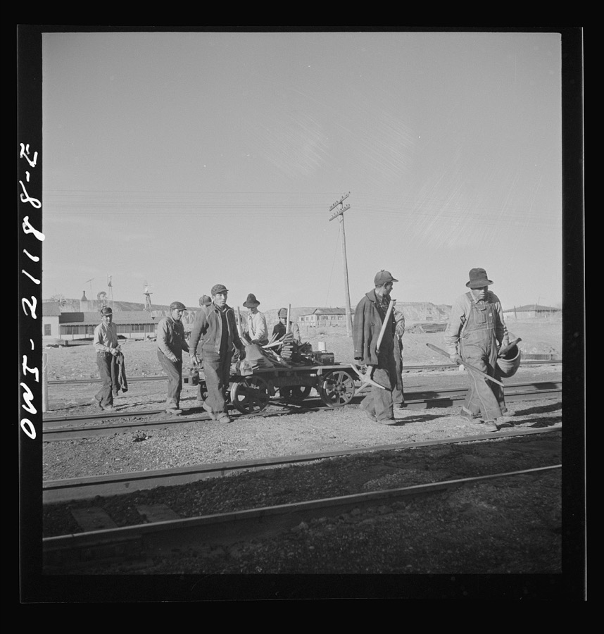
Delano, Jack, 1943. Library of Congress
Every photograph of McKinley County
Fires near this place
1 since 1996Regional context, not property-specific evidence. The federal wildfire occurrence database lists 1 fire within 5 miles of Gallup in 1996, burning about 23 acres in total. None started naturally. None was recorded as arson. Distance is straight-line from the map coordinates, so a fire counted here may appear on a neighbouring settlement's page as well.
| Reported cause | Fires |
|---|---|
| Missing data/not specified/undetermined | 1 |
The most recent of them, most recent first, with the day each was reported and the service that recorded it.
| Date | Cause | Size | Reported by | Name on the report |
|---|---|---|---|---|
| 10 June 1996 | Missing data/not specified/undetermined | 23 acres | New Mexico State Forestry Division | MENTMORE |
Settlements close enough to share some of these fires:
Mines and quarries near this place
10 of 14 shownRegional context, not property-specific evidence. The federal mineral resources record lists 14 workings within 5 miles of Gallup: 5 unknowns, 5 past producers, 4 producers. 4 still produce. What was taken out: Sand and Gravel, Construction, Stone, Uranium, Pumice. Distance is straight-line from the map coordinates, so a quarry counted here may appear on a neighbouring settlement's page as well.
| Where | Site | Commodity | Status | Recorded |
|---|---|---|---|---|
| Gallup Brick & Tile Co | Clay | Past Producer | ||
| Hogback Mine | Vanadium, Uranium | Past Producer | 1950, 1951, 1960 | |
| Red Dog Pit | Pumice | Producer | ||
| Twin Buttes | Stone, Crushed/Broken | Producer | ||
| Car-Ball 13 Uran Deposit | Uranium | Unknown | ||
| Hyde Mine | Uranium | Past Producer | ||
| J & S Enterprise | Stone | Past Producer | ||
| Twin Buttes Quarry | Stone | Producer | Basalt | |
| Elkins Pit | Sand and Gravel, Construction | Producer | ||
| Gallup Sand & Gravel | Sand and Gravel, Construction | Past Producer |
Storms near this place
15 since 1997Regional context, not property-specific evidence. The National Weather Service names Gallup in 15 storm reports between 1997 and 2023: 8 flash flood, 3 thunderstorm wind, 2 hail, 2 heavy rain. The reports record 2 deaths and 1 injury. Each account below is quoted exactly as the forecast office filed it, from the NOAA Storm Events Database, and each date opens the federal record of that event.
| When | Event | Place named | Harm | What the report says |
|---|---|---|---|---|
| September 1997 | Flash Flood | Gallup | 1 killed, 1 hurt | A 30-year man drowned while trying to cross the Hunters Point arroyo on Navajo Tribal lands southwest of Gallup. Two men and their vehicle became bogged in the arroyo. The survivor reported being hit by three waves of water and mud. The last wave separated the victim from the vehicle. His body was recovered 7 miles downstream. |
| September 1997 | Flash Flood | Gallup | 1 killed | A 56-year old woman drowned near Ojo Encino after seeking shelter in a culvert from a rainstorm. The woman and a companion were swept from the culvert by runoff from locally heavy rain. |
| July 2002 | Flash Flood | Gallup | $100,000 | One to two inches of rain from a slow moving thunderstorm caused wide spread street flooding in Gallup. Debris clogged city drainage which aggravated flooding in the older down town section. Water reached 18 to 24 inches deep in several business and two homes. |
| August 2013 | Flash Flood | Gallup | $50,000 | Six inches of water flooded the ground floor of the McKinley County Juvenile Detention Center. |
| July 1998 | Thunderstorm Wind | Gallup | $25,000 | A trailer home was overturned and destroyed by a microburst near the Springstead Trading Post. |
| August 2005 | Heavy Rain | Gallup | $15,000 | no account filed |
| September 2013 | Flash Flood | Gallup | $5,000 | State EOC Situation Report #2 on the 11th indicated NM 118 was closed on the 10th due to flood waters, mud, and debris over roadway. |
| August 2011 | Flash Flood | Gallup | $5,000 | Flash flooding occurred along Maloney Street between 1st and 6th streets. Several of these intersections were closed as water was halfway up vehicles. A few cars were stuck in the water. |
| June 1998 | Thunderstorm Wind | Gallup | $1,000 | Microburst winds damaged the roof to a trailer in Gallup. |
| July 2022 | Flash Flood | Gallup | - | A video shared via Facebook showed flash flooding in the Gallup area. Area and timing is estimated via radar as video was made unavailable shortly after it was shared. No damages are known. |
| August 2016 | Flash Flood | Gallup | - | Flood waters 2 to 3 feet deep on Aztec Road between 8th and 10th streets. |
| September 1997 | Heavy Rain | Gallup | - | Locally heavy rains produced considerable street flooding in Gallup. The Gallup Airport reported rainfall of 1.97 inches ending at 7AM September 9, for a new 24-hour daily record precipitation amount. |
| August 2023 | Thunderstorm Wind | Gallup | - | no account filed |
| October 2010 | Hail | Gallup | - | no account filed |
| September 1997 | Hail | Gallup | - | no account filed |
Nearest settlements
The eight closest, with where each one stands in the county. Distances are straight-line, computed from the Geographic Names Information System coordinates.
| Map | Place | Distance | Sheets |
|---|---|---|---|
| Allison | 2.3 miles | 15 | |
| Gibson (historical) | 2.7 miles | 15 | |
| Weaver (historical) | 3.1 miles | 15 | |
| Gamerco | 3.3 miles | 15 | |
| Heaton (historical) | 3.7 miles | 15 | |
| Rehoboth | 4.7 miles | 15 | |
| Red Rock | 5.1 miles | 15 | |
| Mentmore | 5.5 miles | 15 |
Elsewhere
Matched on this settlement's Geographic Names Information System number rather than its name, so it cannot be a different place of the same name in another state.
| Wikipedia article on Gallup | An encyclopaedic summary. Its text is share-alike, so it is linked here rather than copied. |
| Wikidata item Q577981 | The structured record the population and elevation above come from. Public domain (CC0). |
Provenance
This settlement is recorded in the Geographic Names Information System as feature 902825. The sheet list is computed by point-in-boundary test against the United States Geological Survey's historical topographic inventory. Both are works of the United States government and carry no copyright under 17 U.S.C. 105.
Wildfire. Short, Karen C. 2022. Spatial wildfire occurrence data for the United States, 1992-2020 [FPA_FOD_20221014]. 6th Edition. Fort Collins, CO: Forest Service Research Data Archive. https://doi.org/10.2737/RDS-2013-0009.6 Collected with United States Government funding and usable without additional permissions or fees.
Mines and quarries. USGS Mineral Resources Data System (MRDS) https://mrdata.usgs.gov/mrds/ A work of the United States government, no copyright under 17 U.S.C. 105.
Storms. NOAA National Centers for Environmental Information, Storm Events Database https://www.ncei.noaa.gov/stormevents/ A work of the United States government, no copyright under 17 U.S.C. 105. Narratives are quoted verbatim from the National Weather Service report and are not edited or summarised.