 Block
Gardnerville, Nevada
29 topographic sheets cover this place, the earliest surveyed in 1889 and the latest in 1985. It stands in the Gardnerville-Minden census division. It lies in ZIP code area 89410. The Survey maps it on the Gardnerville quadrangle. 6,211 people lived here at the 2020 count. It stands 4,751 feet above sea level.
Research this city
On record in Gardnerville
Buildings and businesses the archive holds for this place. Each opens its own page, with the source record it came from.
On the National Register 7 records
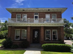 Carson Valley Hospitallisted 1979
 Douglas County High Schoollisted 1992
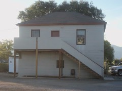 Gardnerville Branch Jaillisted 2003
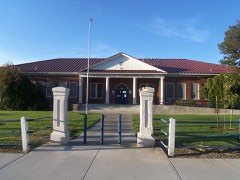 Gardnerville Elementary Schoollisted 2008
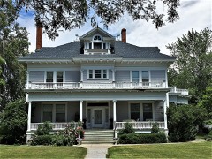 Arendt Jensen Houselisted 1989
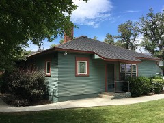 Arendt Jensen Jr. Houselisted 1994
- Wilhelm and William Lampe Ranch
Population over time
2 figuresGardnerville grew from 5,656 to 6,211 between 2010 and 2020. These are the recorded population figures Wikidata holds for this place, reached through the Geographic Names Information System number this page is keyed on rather than by name, so they belong to this place and not to another of the same name. Most are census counts, but not all are: an early figure may be a founding or settlement estimate, and an estimate published within five years of a census is left out. The change column is computed, and is left blank where more than 20 years separate a figure from the one before it, because a gap that long is not a change between two counts.
| Year | People | Change |
|---|---|---|
| 2010 | 5,656 | |
| 2020 | 6,211 | +555 (+10%) |
Topographic sheets covering this place
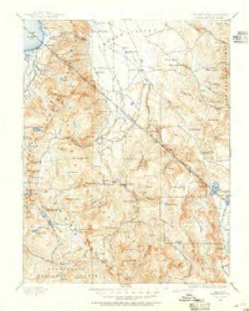
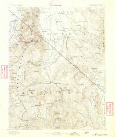
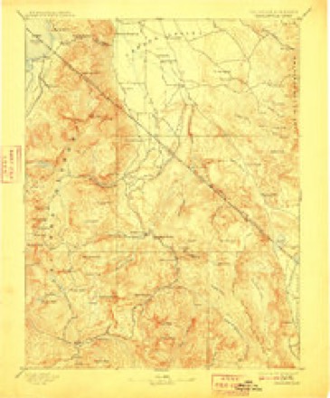
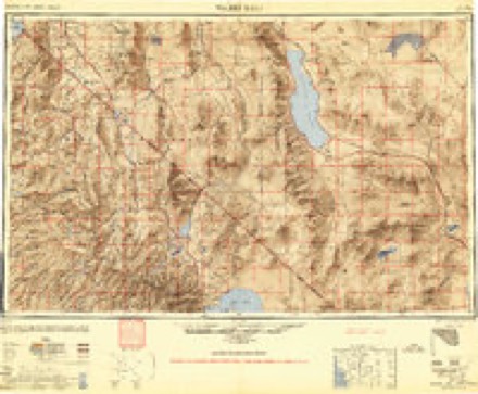
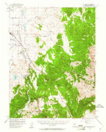
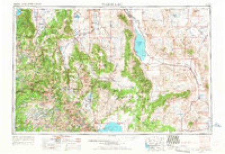
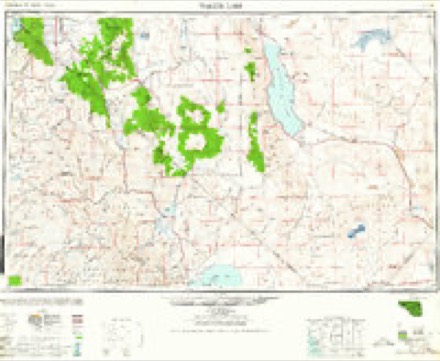
11 surveys from 29 printed sheetsMatched by testing this settlement's coordinate against the published boundary of every sheet in the United States Geological Survey's historical collection. Each opens the scanned sheet at the Survey.
- 1889 USGS Markleeville quadrangle1:125000
- 1891 USGS Markleeville quadrangle1:125000
- 1893 USGS Markleeville quadrangle1:125000, 9 printings
- 1948 USGS Walker Lake quadrangle1:250000, 2 printings
- 1957 USGS Mt. Siegel quadrangle1:62500, 3 printings
- 1957 USGS Walker Lake quadrangle1:250000, 4 printings
- 1962 USGS Walker Lake quadrangle1:250000
- 1964 USGS Walker Lake quadrangle1:250000, 2 printings
- 1969 USGS Gardnerville quadrangle1:24000, 3 printings
- 1974 USGS Gardnerville quadrangle1:24000
- 1985 USGS Smith Valley quadrangle1:100000, 2 printings
Photographs
6 photographs, 2022Taken for the Office of War Information and the Farm Security Administration, who photographed the country between 1935 and 1944. Works of United States government photographers, with no known restriction on use. Each opens its catalogue record.
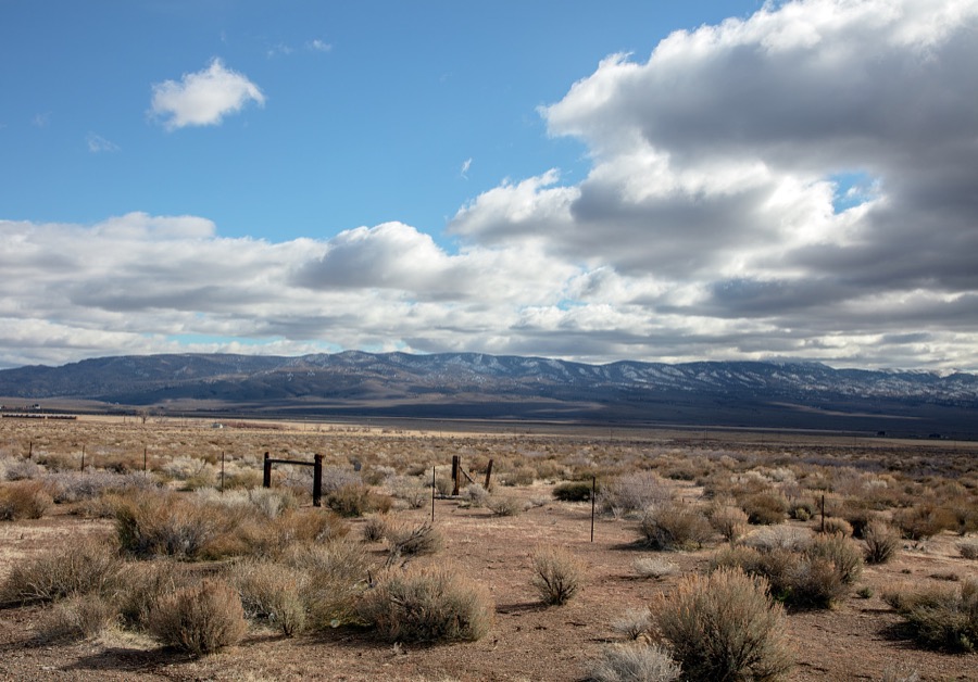
Highsmith, Carol M, 2022. Library of Congress
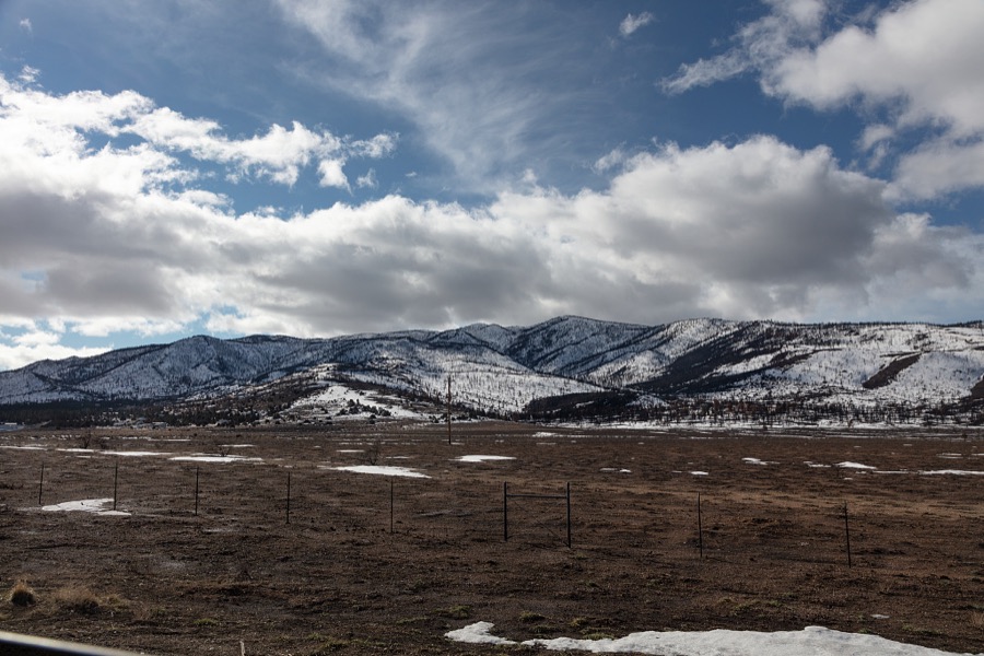
Highsmith, Carol M, 2022. Library of Congress
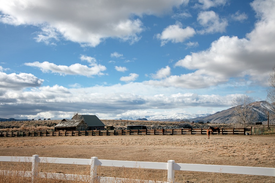
Highsmith, Carol M, 2022. Library of Congress
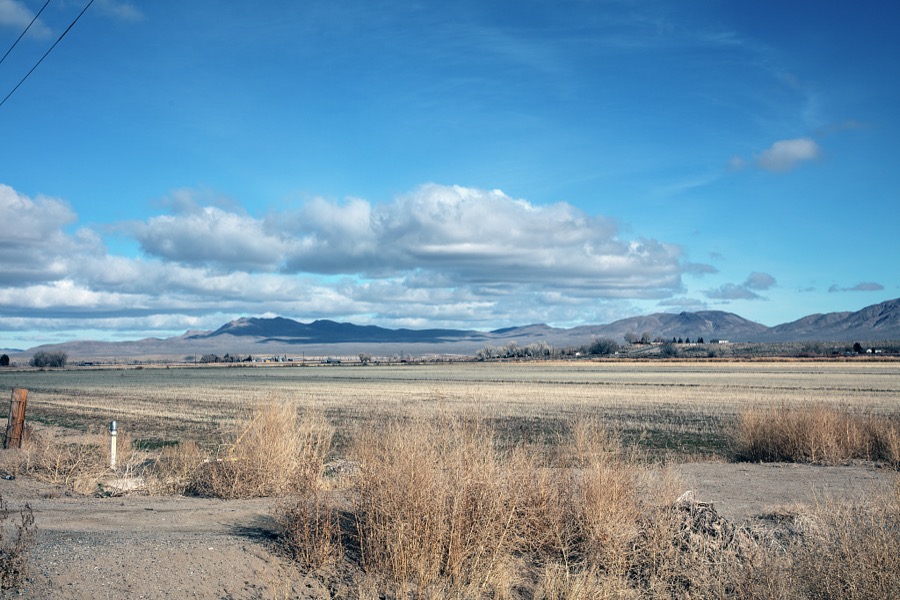
Highsmith, Carol M, 2022. Library of Congress
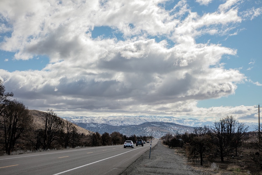
Highsmith, Carol M, 2022. Library of Congress
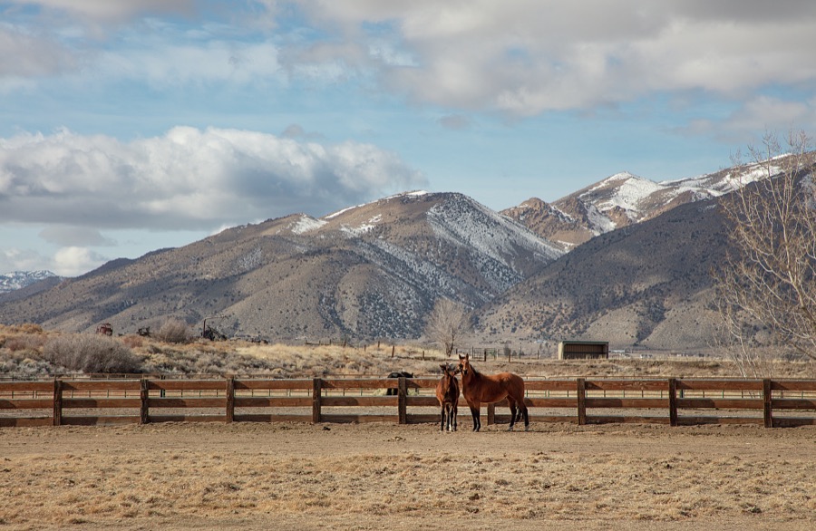
Highsmith, Carol M, 2022. Library of Congress
Fires near this place
27 since 1992Regional context, not property-specific evidence. The federal wildfire occurrence database lists 27 fires within 5 miles of Gardnerville between 1992 and 2020, burning about 107 acres in total. 6 started naturally. 1 was recorded as arson. Distance is straight-line from the map coordinates, so a fire counted here may appear on a neighbouring settlement's page as well.
| Reported cause | Fires |
|---|---|
| Missing data/not specified/undetermined | 6 |
| Natural | 6 |
| Equipment and vehicle use | 5 |
| Debris and open burning | 4 |
| Misuse of fire by a minor | 2 |
| Firearms and explosives use | 2 |
| Arson/incendiarism | 1 |
| Recreation and ceremony | 1 |
The most recent of them, most recent first, with the day each was reported and the service that recorded it.
| Date | Cause | Size | Reported by | Name on the report |
|---|---|---|---|---|
| 13 September 2009 | Missing data/not specified/undetermined | under an acre | Humboldt-Toiyabe National Forest | PIT |
| 4 August 1999 | Natural | under an acre | Carson City District Office | WINDMILL |
| 3 August 2006 | Equipment and vehicle use | under an acre | Humboldt-Toiyabe National Forest | TILLMAN |
| 29 August 2017 | Missing data/not specified/undetermined | under an acre | East Fork Fire and Paramedic District | 88 |
| 23 August 2018 | Missing data/not specified/undetermined | 9.0 acres | Carson City District Office | RANCH |
| 31 July 1995 | Debris and open burning | under an acre | Carson City District Office | BIA 12 |
| 26 July 1997 | Natural | under an acre | Humboldt-Toiyabe National Forest | LOWER ROAD |
| 21 July 1994 | Recreation and ceremony | under an acre | Carson City District Office | BAKER |
Settlements close enough to share some of these fires:
Mines and quarries near this place
7 within 5 milesRegional context, not property-specific evidence. The federal mineral resources record lists 7 workings within 5 miles of Gardnerville: 4 past producers, 3 producers. 3 still produce. What was taken out: Sand and Gravel, Construction, Stone, Crushed/Broken. Distance is straight-line from the map coordinates, so a quarry counted here may appear on a neighbouring settlement's page as well.
| Where | Site | Commodity | Status | Recorded |
|---|---|---|---|---|
| Environmental Community BLM Pit | Stone, Crushed/Broken | Past Producer | ||
| Sawmill Pit | Stone, Crushed/Broken | Producer | ||
| Bing Materials Pit & Plant | Sand and Gravel, Construction | Producer | ||
| Dresslerville Pit | Sand and Gravel, Construction | Producer | ||
| Nev. Contractors Sand & Gravel Pit | Sand and Gravel, Construction | Past Producer | ||
| Rancho Pit | Sand and Gravel, Construction | Past Producer | ||
| Settelmeyer Sand & Gravel Pit | Sand and Gravel, Construction | Past Producer |
Storms near this place
27 since 1998Regional context, not property-specific evidence. The National Weather Service names Gardnerville in 27 storm reports between 1998 and 2025: 14 heavy rain, 6 flash flood, 3 lightning, 2 thunderstorm wind. The reports record 1 injury. Each account below is quoted exactly as the forecast office filed it, from the NOAA Storm Events Database, and each date opens the federal record of that event.
| When | Event | Place named | Harm | What the report says |
|---|---|---|---|---|
| August 2004 | Lightning | Gardnerville | 1 hurt | A 12-year-old girl was struck by lightning in Gardnerville during the afternoon of the 12th. The condition of the girl was not known at the time of the report. |
| August 2014 | Flash Flood | Gardnerville | $50,000 | The Minden-Gardnerville Record Courier noted that a Douglas County fire marshal stated that 9 houses had interior damage due to flooding. Also, emergency officials indicated that 2 feet of water had flowed over Fish Springs Rd. A power pole was broken near Jacobsen Ln due to the flash flood. |
| August 2005 | Lightning | Gardnerville | $15,000 | Lightning struck the roof of a house in Gardnerville, starting a fire in the attic. Lightning also caused power outages in Gardnerville and Minden. Up to 2,100 people were temporarily without power as a result. |
| June 2015 | Flash Flood | Gardnerville | $5,000 | The Douglas County Emergency Manager reported flash flooding impacts near low water crossings along Sawmill and Arroyo Roads. |
| February 2025 | Heavy Rain | Gardnerville | - | CoCORAHS (NV-DG-4 Gardnerville) located 3.0 ESE of Heavenly Valley, NV, reported a 24 hour storm total rainfall amount of 1.59 inches. |
| July 2024 | Heavy Rain | Gardnerville | - | A Cocorahs station (NV-DG-11- Gardnerville) located 3.9 S of Gardnerville, NV, reported a total rainfall amount of 0.60 inches. |
| December 2024 | Heavy Rain | Gardnerville | - | A trained spotter located 4.0 mi W of Gardnerville Ranch, NV, reported 24 hour storm total rainfall of 0.54 inches. |
| November 2024 | Heavy Rain | Gardnerville | - | CoCORAHS (NV-DG-23 Gardnerville) located 5.7 miles W of Gardnerville, NV, reported 24 hour storm total rainfall of 0.92 inches. |
| March 2023 | Heavy Rain | Gardnerville | - | A COCORAHS (NV-DG-23 Gardnerville) located 5.7 mi W of Gardnerville, NV, reported a 24-hour rainfall total of 2.27 inches. |
| March 2023 | Heavy Rain | Gardnerville | - | A COCORAHS (NV-DG-11 Gardnerville) located 3.9 mi S of Gardnerville, NV, and a CO-OP Observer (MINN2) located in Minden, NV, reported 24-hour rainfall totals of 1.78 and 1.52 inches respectively. |
| June 2023 | Heavy Rain | Gardnerville | - | A mesonet station (FISN2-Fish Springs) located 5.0 mi ESE of Gardnerville, NV, reported a total rainfall amount of 0.96 inches. |
| July 2021 | Flash Flood | Gardnerville | - | Spotter reported 4-6 inches of water running where Fish Springs and Jacobsen Lane meet. Nearby Pine Nut Creek full due to runoff on the Numbers Fire burn scar. |
| November 2021 | Heavy Rain | Gardnerville | - | Trained spotter 3 mi WSW of Gardnerville Ranchos reported 0.81 inches of rainfall measured in 12 hour period. |
| December 2021 | Heavy Rain | Gardnerville | - | Trained spotter reported 1.13 of heavy rain. |
| March 2019 | Heavy Rain | Gardnerville | - | CoCoRaHS station NV-DG-4 in 5 miles west of Gardnerville reported 0.75 inches of rainfall in a 24 hour period from 27 March 0600PST to 28 March 0600PST. |
| December 2018 | Heavy Rain | Gardnerville | - | Trained weather spotter 3 miles west-southwest of Gardnerville Ranchos reported 0.87 inches of rainfall in a 24-hour period from 24 December 0807PST to 25 December 0807PST. |
| March 2018 | Heavy Rain | Gardnerville | - | CoCoRaHS station NV-DG-11, Gardnerville reported 2.33 inches of storm total rainfall from 20 March 0520PST to 23 March 0520PST. |
| May 2018 | Heavy Rain | Gardnerville | - | Mesonet station PNTN2, 9 miles east of Gardnerville (elevation 5882 feet) reported 0.63 inches of rainfall in a 24-hour period from 24 May 0858PST to 25 May 0858PST. |
| July 2015 | Flash Flood | Gardnerville | - | Facebook videos from a National Weather Service employee and KOLO News showed fast flowing water in Pine Nut Creek and over low water crossings on Cali Pequeno and Out-R-Way Roads. |
| August 2014 | Flash Flood | Gardnerville | - | Flood waters from Pine Nut Creek moved over East Valley Rd (and several non-paved roads) per photographic evidence. The Allerman Canal (eastern side of Gardnerville) helped to stop the advance of flood waters. The time of the flash flood is estimated. |
| May 2009 | Hail | Gardnerville | - | A trained weather spotter reported 1-inch diameter hail 3 miles SSW of Gardnerville. |
| April 2005 | Lightning | Gardnerville | - | Lightning struck a poplar tree at a home in Gardnerville. The lightning bolt blew out the front door jamb of the house. An automobile's windshield was badly cracked. Computers, televisions, and VCRs throughout the neighborhood were damaged from the strike. In a house a few doors away, kitchen lights were blown from their sockets. |
| August 2002 | Heavy Rain | Gardnerville | - | 1 inch of rain in 85 minutes |
| September 1998 | Flash Flood | Gardnerville | - | Mud covering one side of Fish Springs Road. Reported by Douglas County Sheriff. |
| July 2014 | Thunderstorm Wind | Gardnerville | - | no account filed |
| July 2005 | Hail | Gardnerville | - | no account filed |
| July 2002 | Thunderstorm Wind | Gardnerville | - | no account filed |
Newspapers printed here
7,055 digitised pages3 papers published in this town, digitised by the Library of Congress and free to read: 1,572 issues, 7,055 pages. Every page is searchable, so a name or a street can be looked for directly in what the town printed about itself at the time.
| Newspaper | Published |
|---|---|
| Gardnerville Record | 1898 to 1902 |
| The Record | 1902 to 1904 |
| The Record-Courier | 1904 to Current |
What the paper printed
33,216 wordsFront pages of the local paper, read from the Library of Congress scans: 12 issues spread across its run from 1898 to 1924, 33,216 words in total. Each is reproduced on its own page, exactly as the recogniser returned it.
These pages read less well than anything else here, and the number is worth stating: about three words in four come through cleanly, against nine in ten for the building records. An 1896 broadsheet sets eight-point type in seven columns on microfilm, which is the hardest thing in this archive to read by machine. We tested our own recognisers against the Library's and they were not better, so the Library's text is what appears, with the wholly unreadable columns removed. Read it as a guide to what the paper covered, and follow the link to the scan before quoting anything.
| Issue | Paper | Length |
|---|---|---|
| 1904-04-29 | The Record-Courier | 3,071 words |
| 1904-07-08 | The Record-Courier | 3,107 words |
| 1904-09-02 | The Record-Courier | 4,064 words |
| 1904-11-04 | The Record-Courier | 3,590 words |
| 1924-12-26 | The Record-Courier | 2,098 words |
| 1898-07-12 | Gardnerville Record | 2,608 words |
| 1898-10-04 | Gardnerville Record | 4,862 words |
| 1898-11-22 | Gardnerville Record | 1,806 words |
| 1902-08-01 | The Record | 1,648 words |
| 1902-09-12 | The Record | 1,756 words |
| 1902-10-31 | The Record | 2,365 words |
| 1902-12-12 | The Record | 2,241 words |
Nearest settlements
The eight closest, with where each one stands in the county. Distances are straight-line, computed from the Geographic Names Information System coordinates.
| Map | Place | Distance | Sheets |
|---|---|---|---|
| Minden | 1.2 miles | 32 | |
| Buckeye | 1.9 miles | 29 | |
| Centerville | 2.6 miles | 32 | |
| Twelvemile House | 3.3 miles | 29 | |
| Dresslerville | 3.5 miles | 29 | |
| Gardnerville Ranchos | 3.7 miles | 29 | |
| Mottsville | 4.7 miles | 32 | |
| Sheridan | 4.9 miles | 32 |
Elsewhere
Matched on this settlement's Geographic Names Information System number rather than its name, so it cannot be a different place of the same name in another state.
| Wikipedia article on Gardnerville | An encyclopaedic summary. Its text is share-alike, so it is linked here rather than copied. |
| Wikidata item Q2466325 | The structured record the population and elevation above come from. Public domain (CC0). |
Provenance
This settlement is recorded in the Geographic Names Information System as feature 859798. The sheet list is computed by point-in-boundary test against the United States Geological Survey's historical topographic inventory. Both are works of the United States government and carry no copyright under 17 U.S.C. 105.
Wildfire. Short, Karen C. 2022. Spatial wildfire occurrence data for the United States, 1992-2020 [FPA_FOD_20221014]. 6th Edition. Fort Collins, CO: Forest Service Research Data Archive. https://doi.org/10.2737/RDS-2013-0009.6 Collected with United States Government funding and usable without additional permissions or fees.
Mines and quarries. USGS Mineral Resources Data System (MRDS) https://mrdata.usgs.gov/mrds/ A work of the United States government, no copyright under 17 U.S.C. 105.
Storms. NOAA National Centers for Environmental Information, Storm Events Database https://www.ncei.noaa.gov/stormevents/ A work of the United States government, no copyright under 17 U.S.C. 105. Narratives are quoted verbatim from the National Weather Service report and are not edited or summarised.