Block
BlockFrom the record
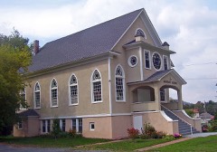
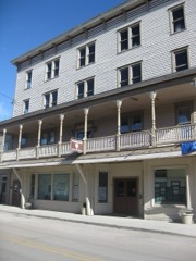
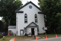
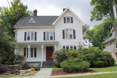
79 National Register listings published here.
Sources: the National Register database, National Park Service
192 topographic sheets cover 128 settlements here, and 79 properties are on the National Register of Historic Places.
79 National Register listings published here.
Sources: the National Register database, National Park Service
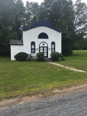
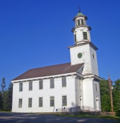
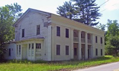
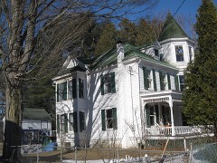
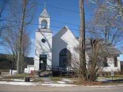
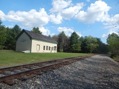
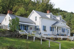
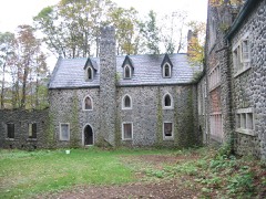
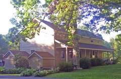
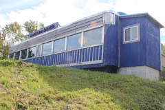
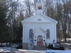
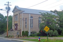
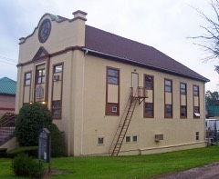
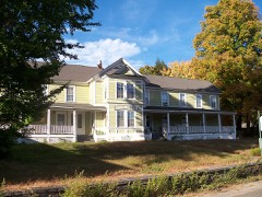
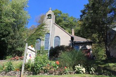
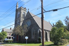
Every property in this county listed on the National Register of Historic Places, with the year it was listed and the federal nomination document.
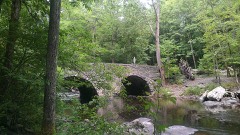
Sullivan County has 1 covered bridge on the National Register. Each is a listed structure with a federal nomination on file.
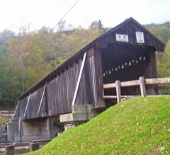 | Beaverkill Covered Bridge | Listed 2007, 22 map sheets show this crossing |
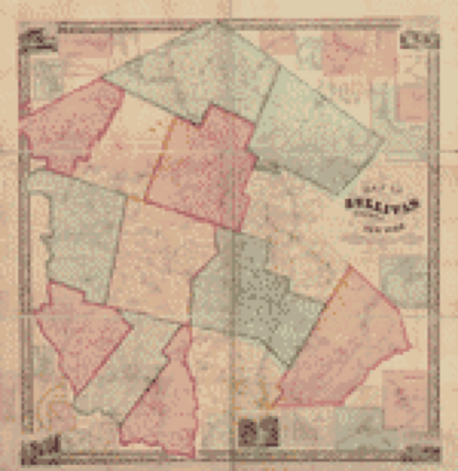
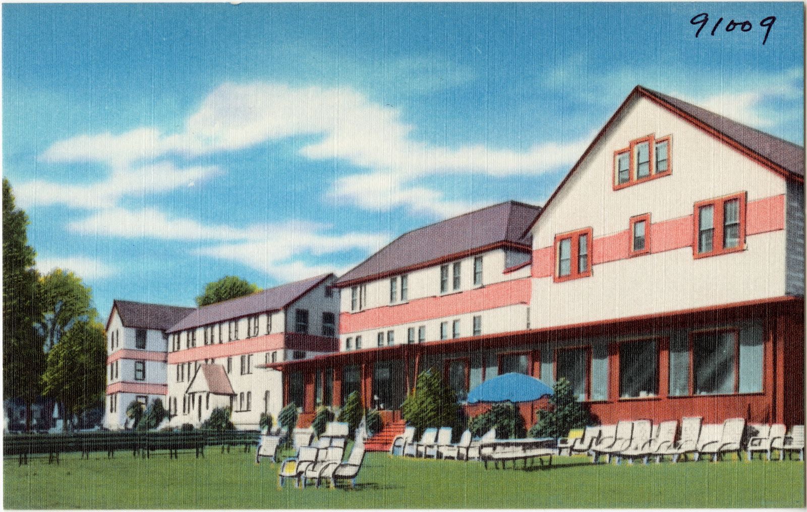
Drawn when these were printed as single large sheets: the town seen from the air, and the county divided into its farms with every owner named. Each opens the original at the Library of Congress.
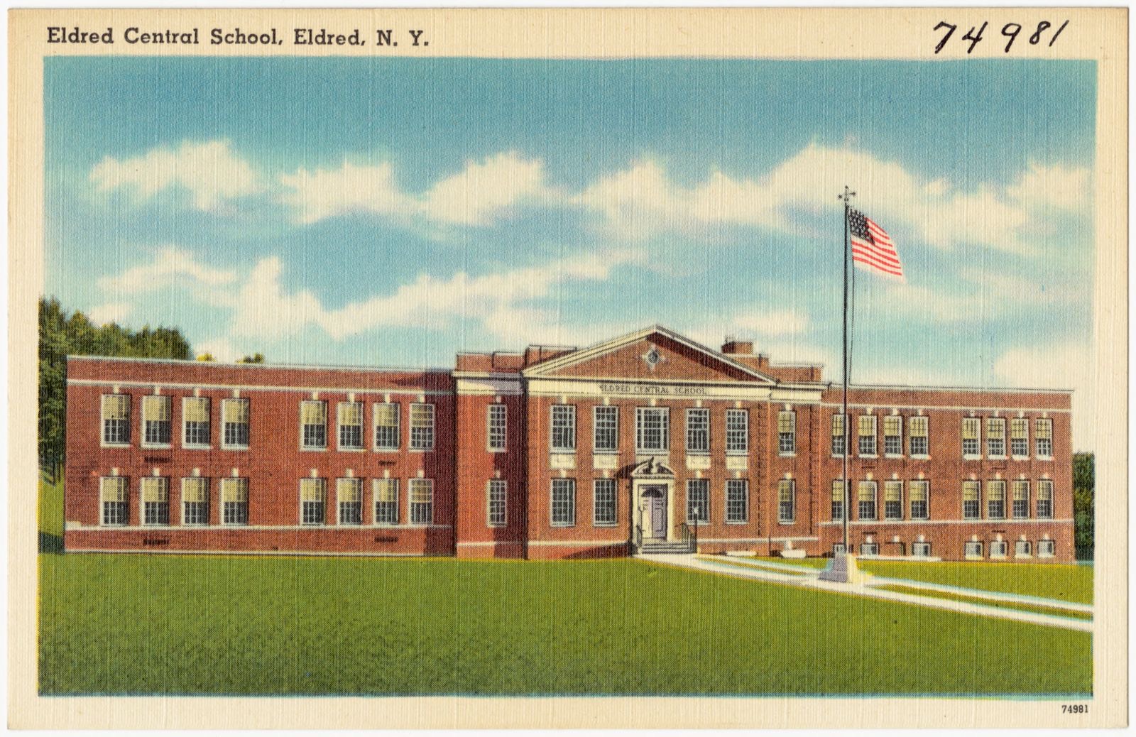
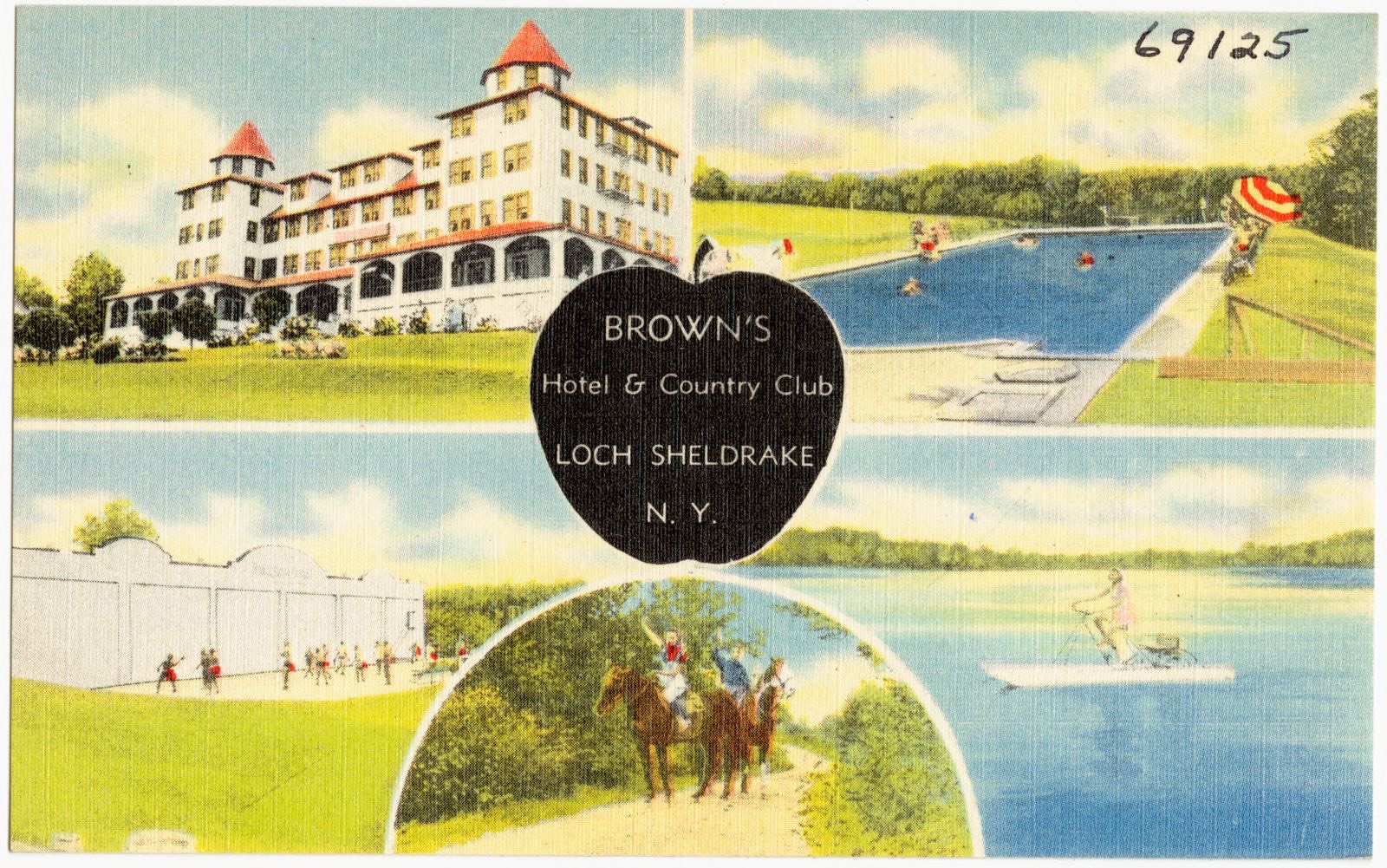
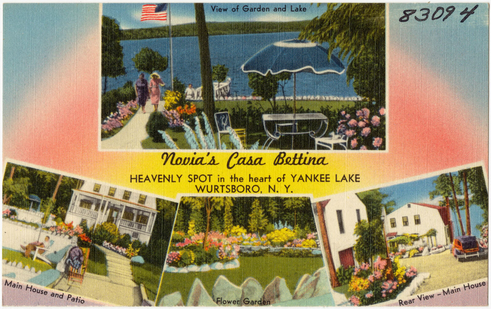
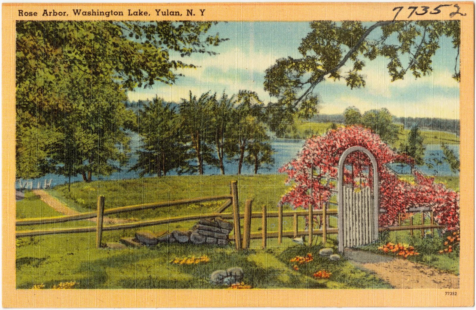
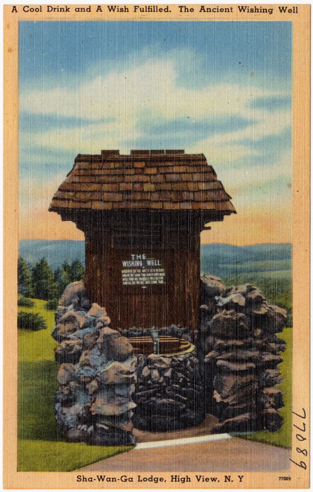
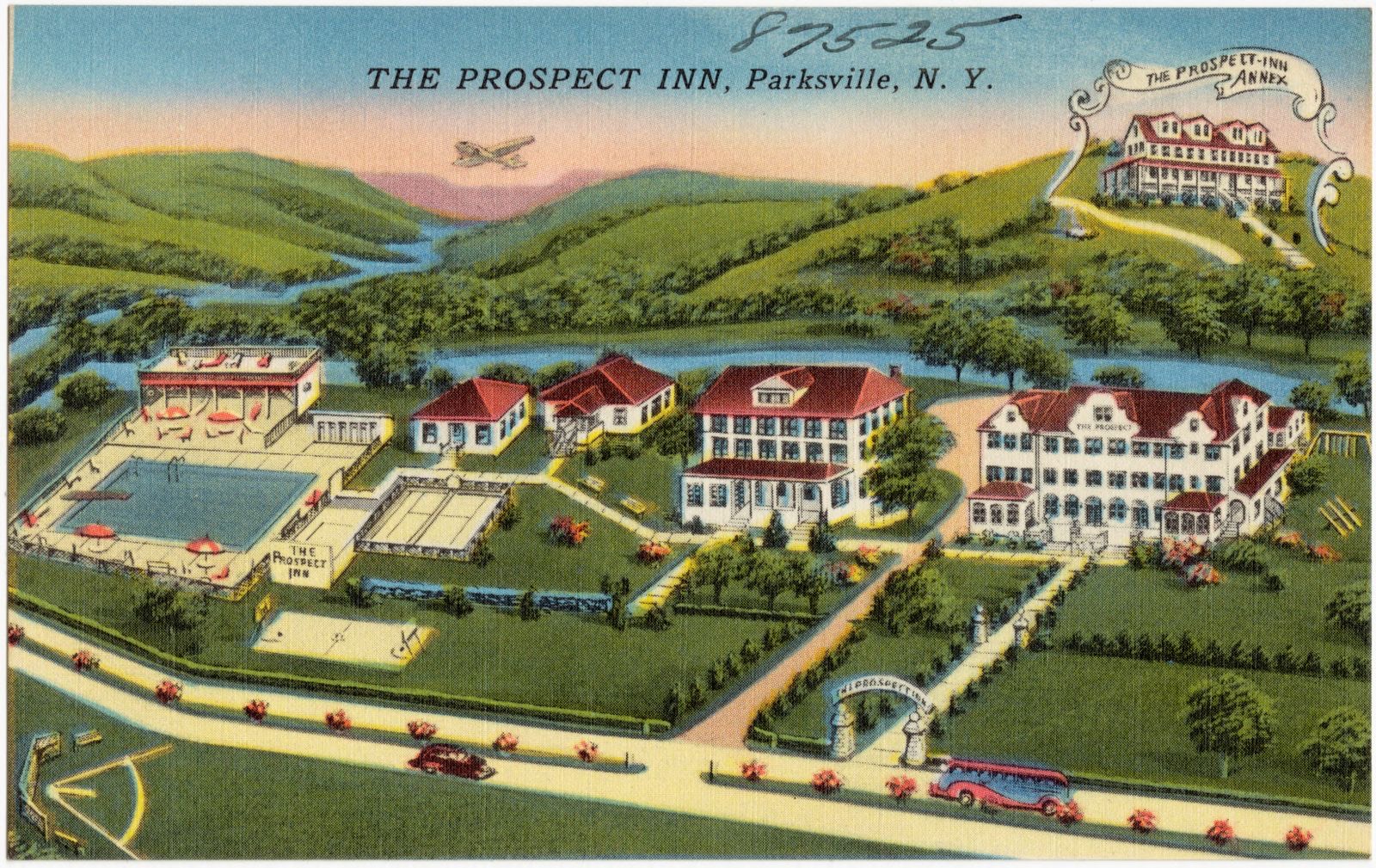
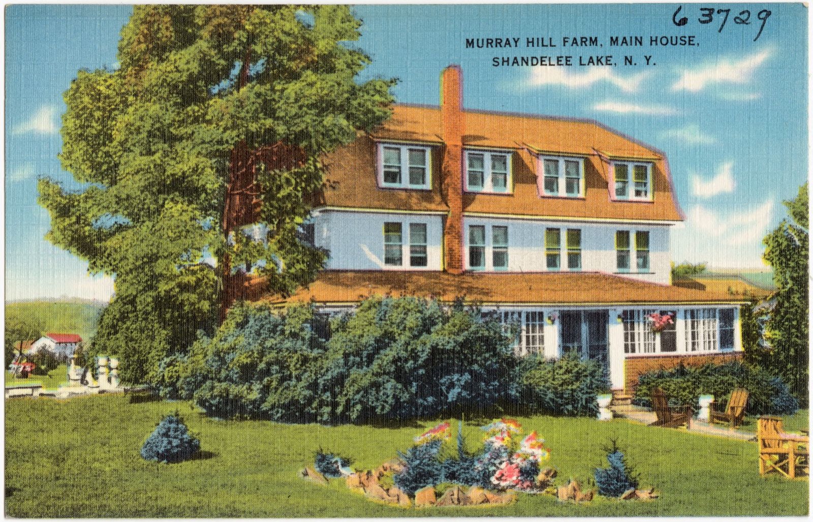
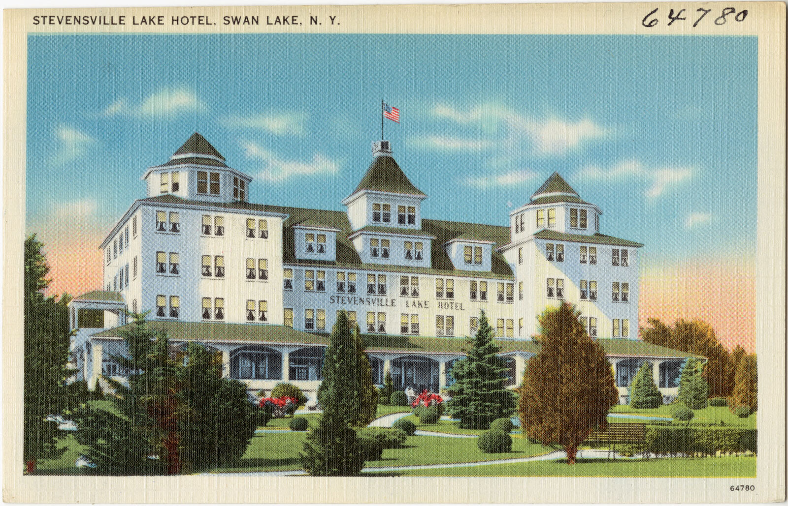
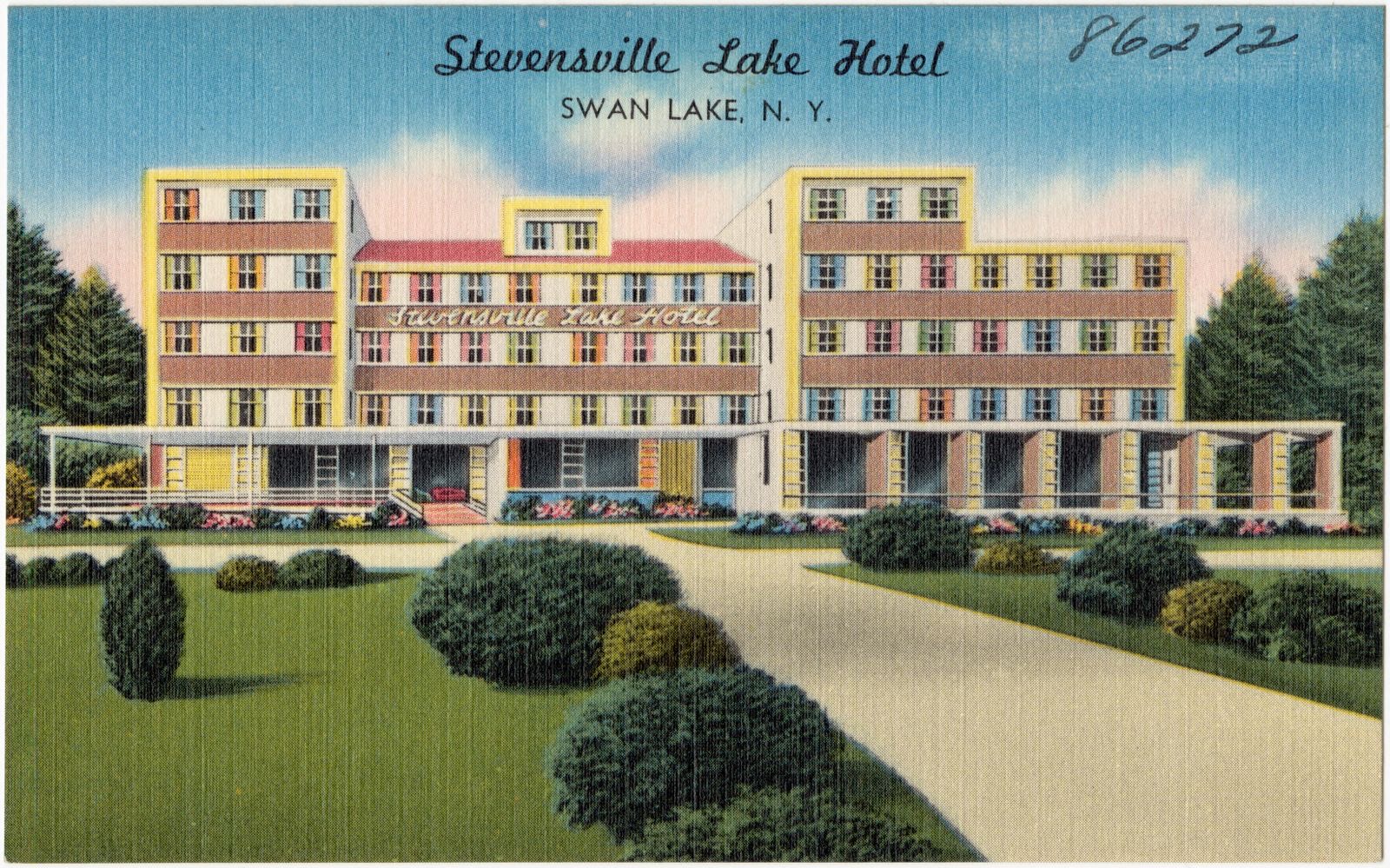
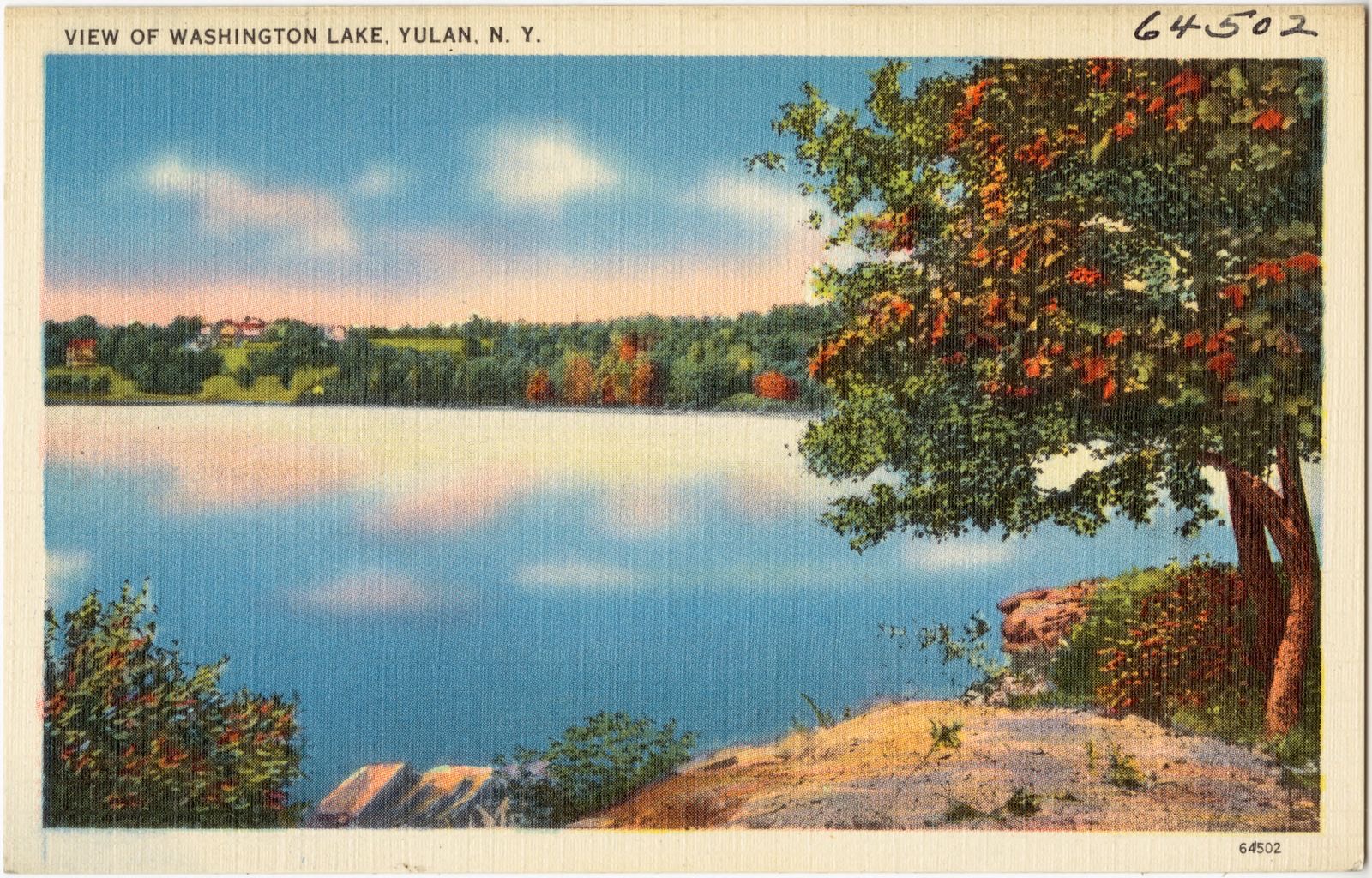
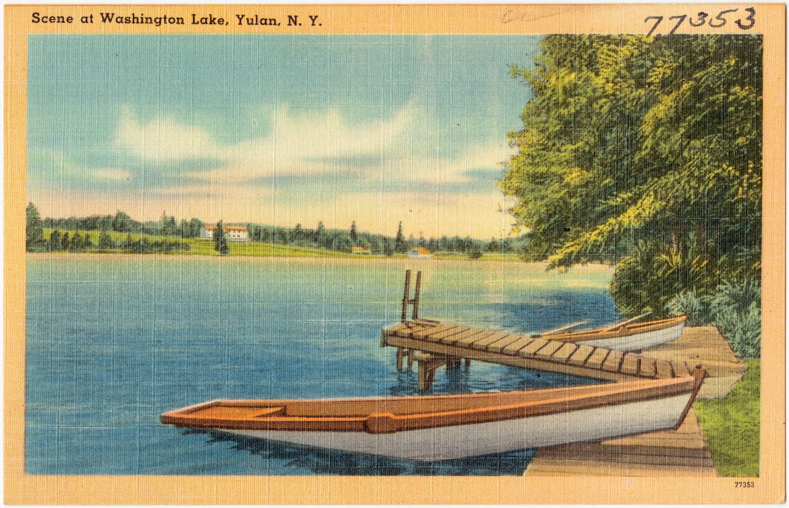
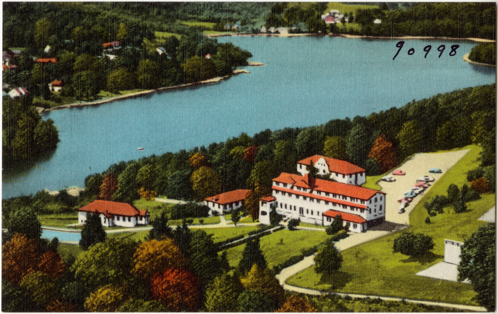
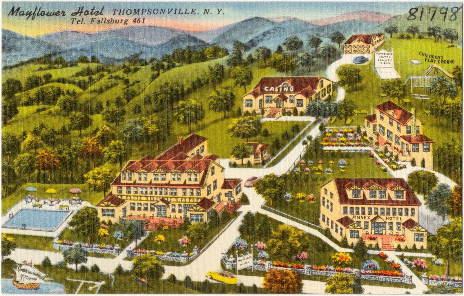
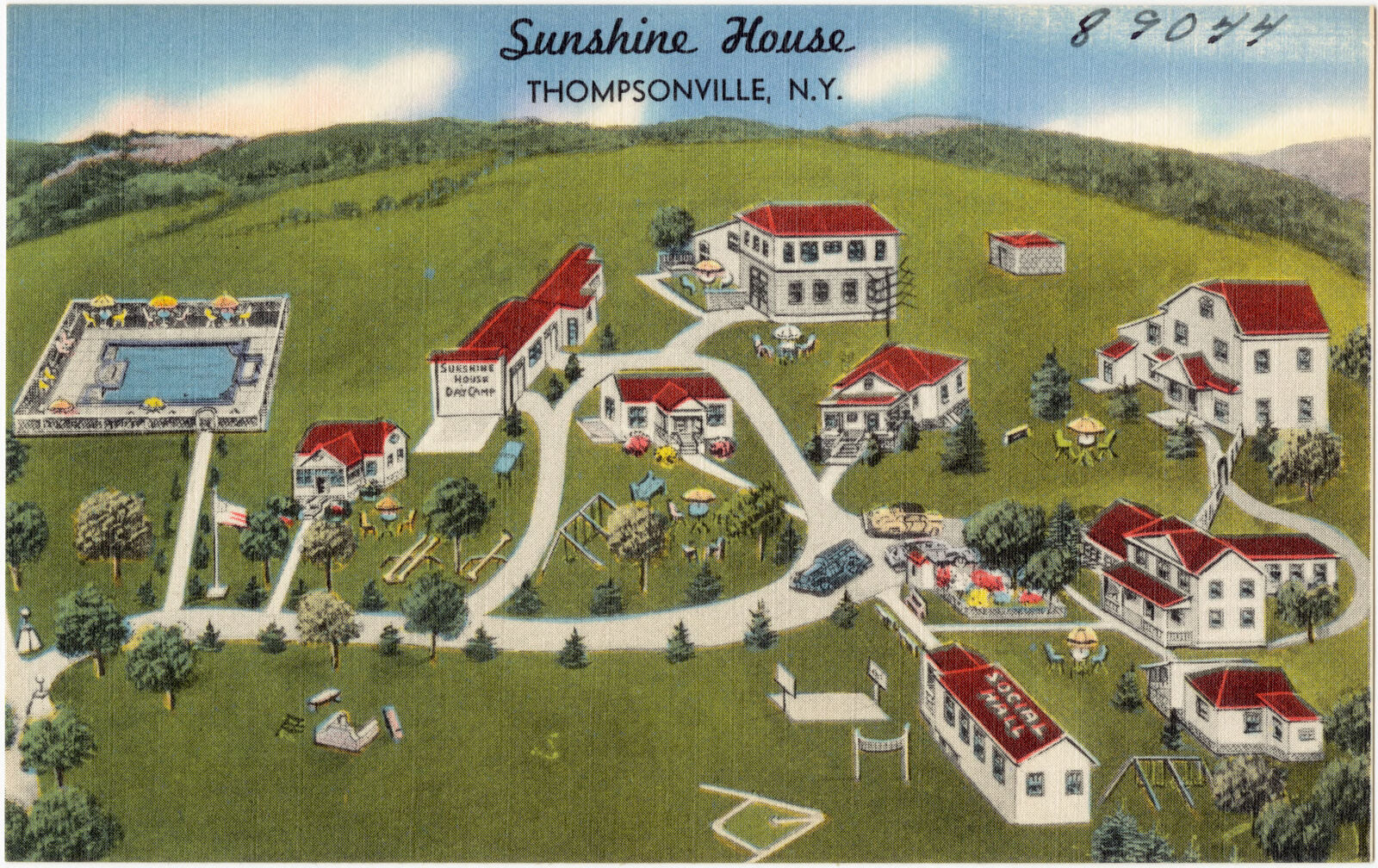
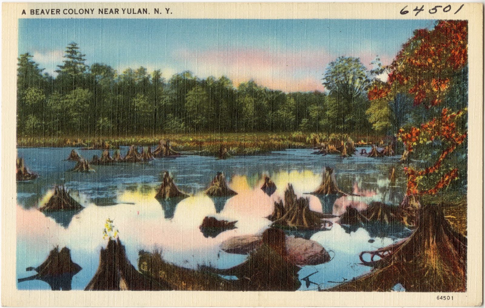
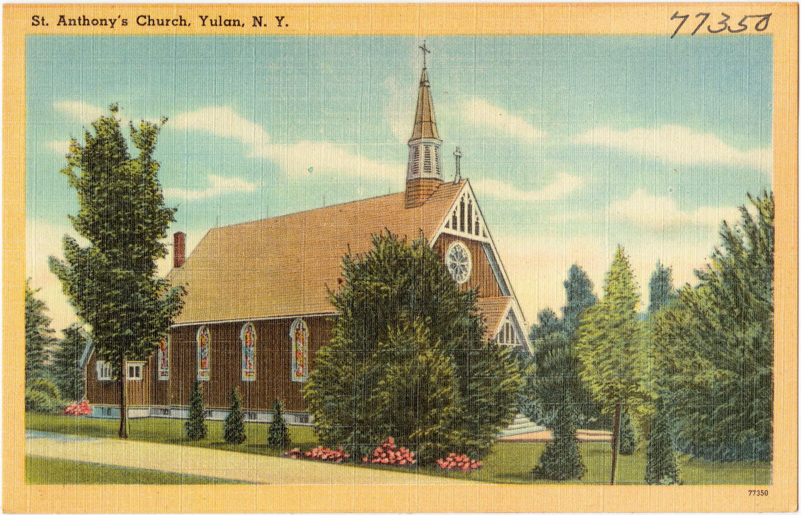
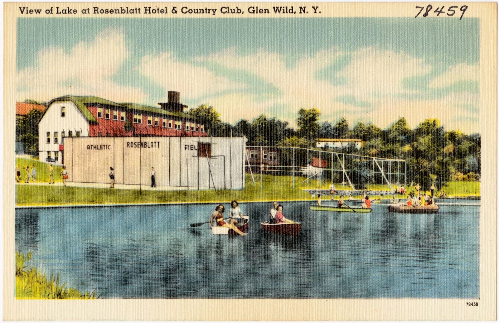
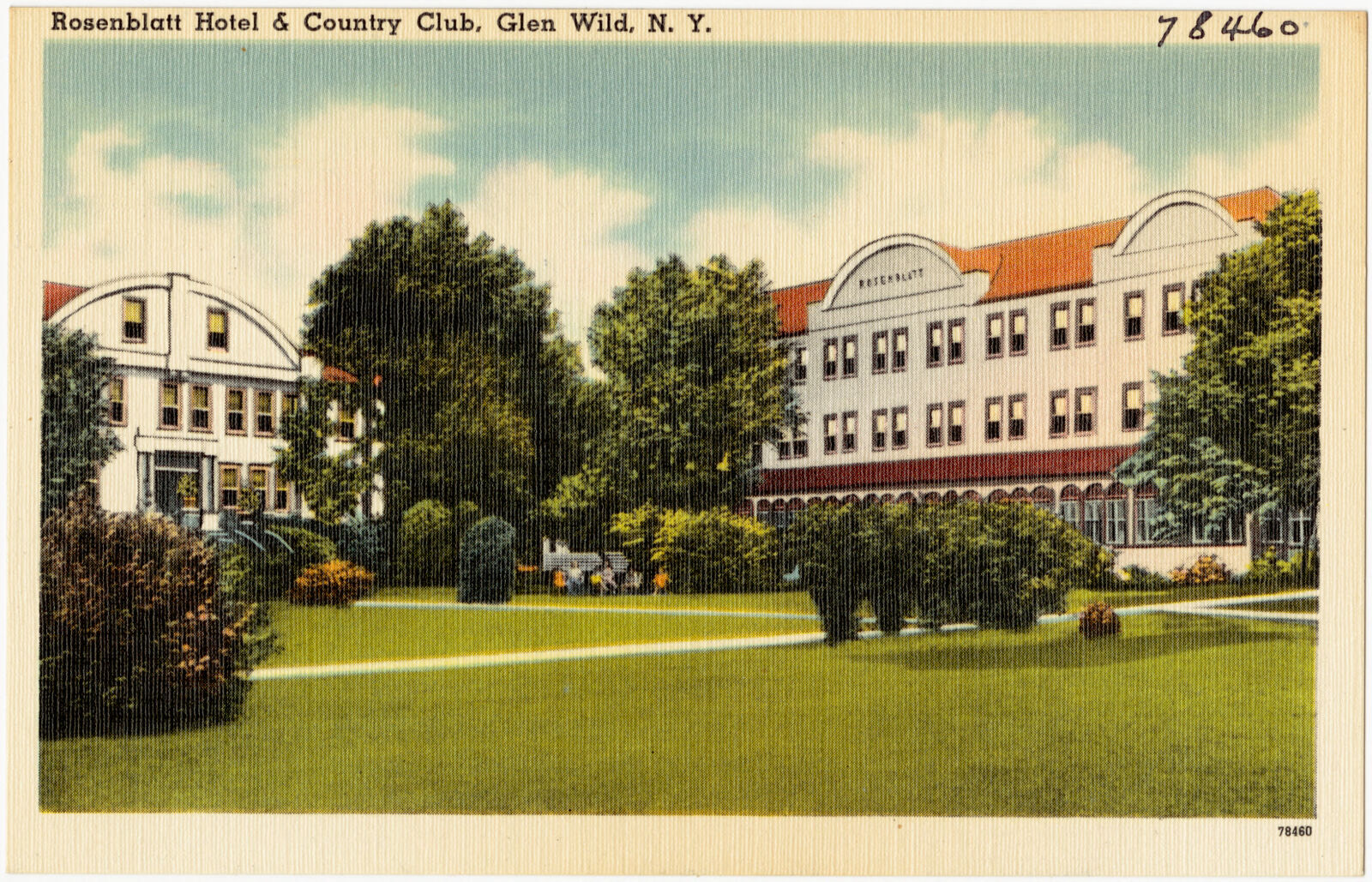
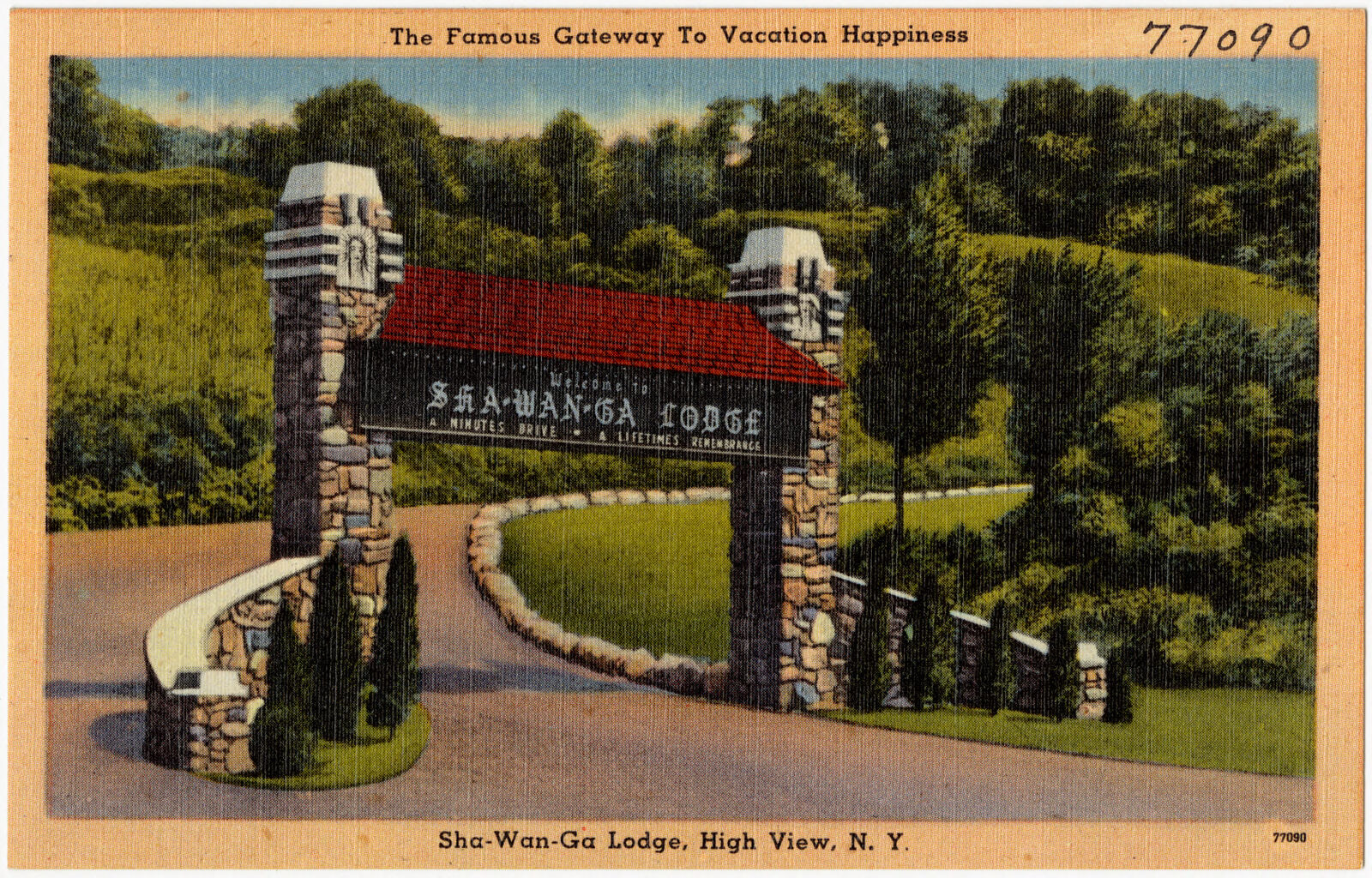
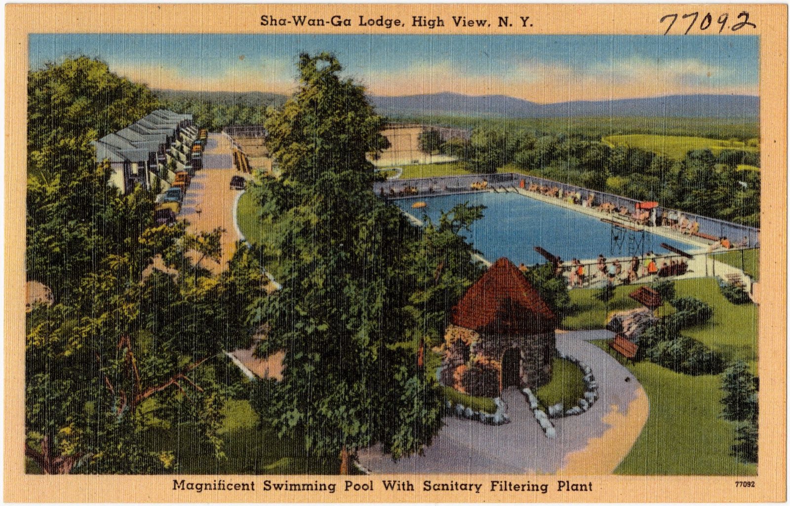
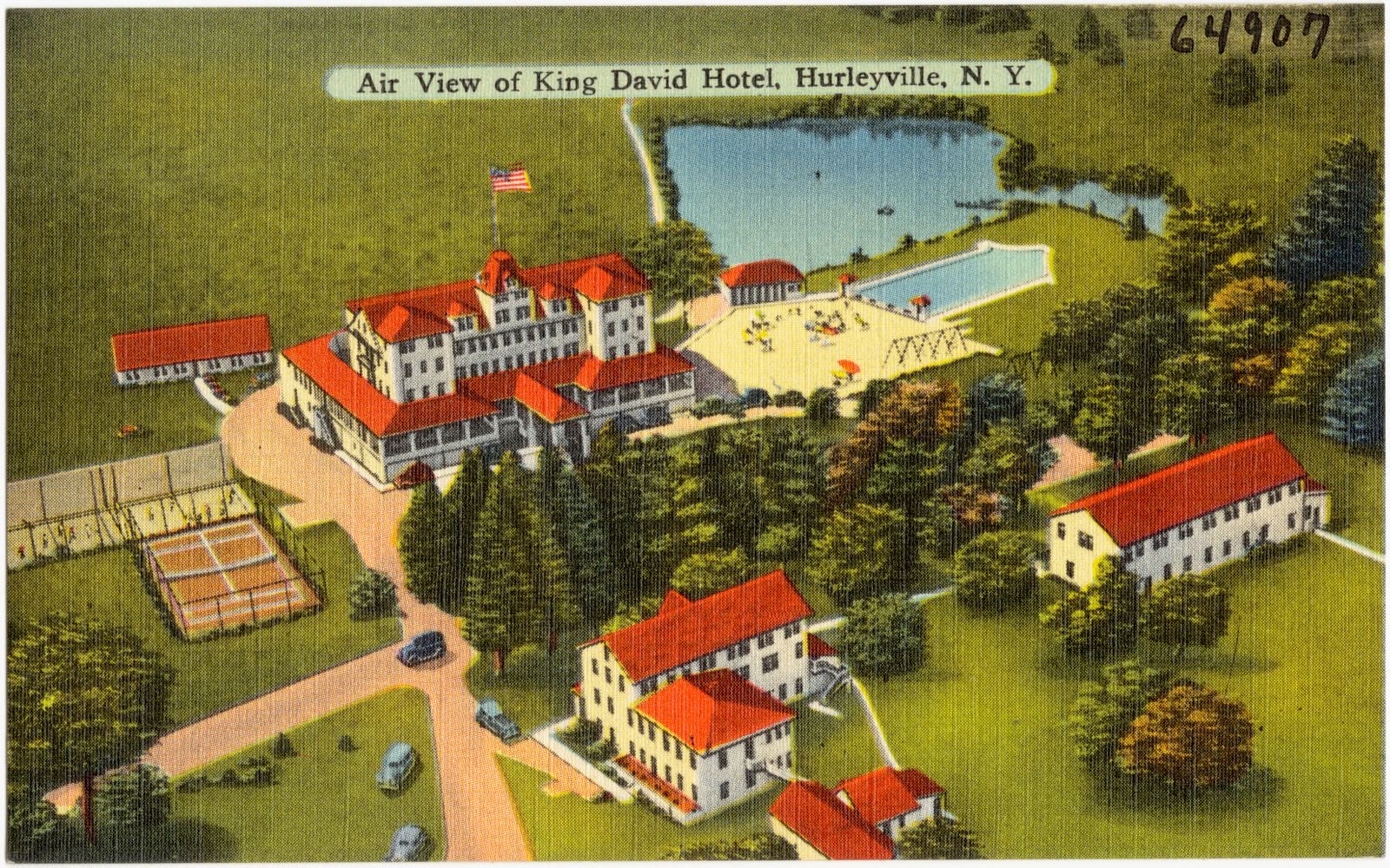
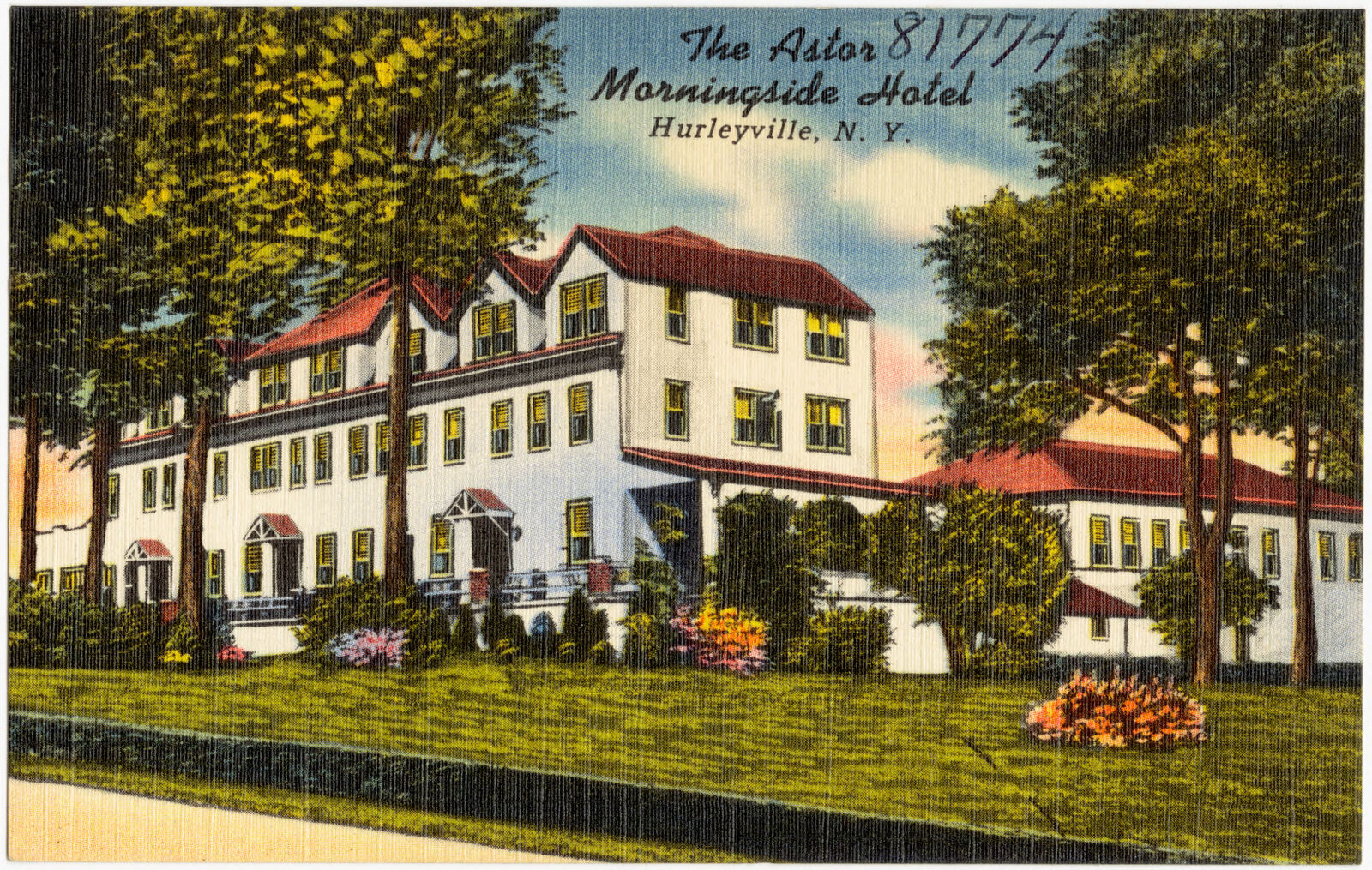
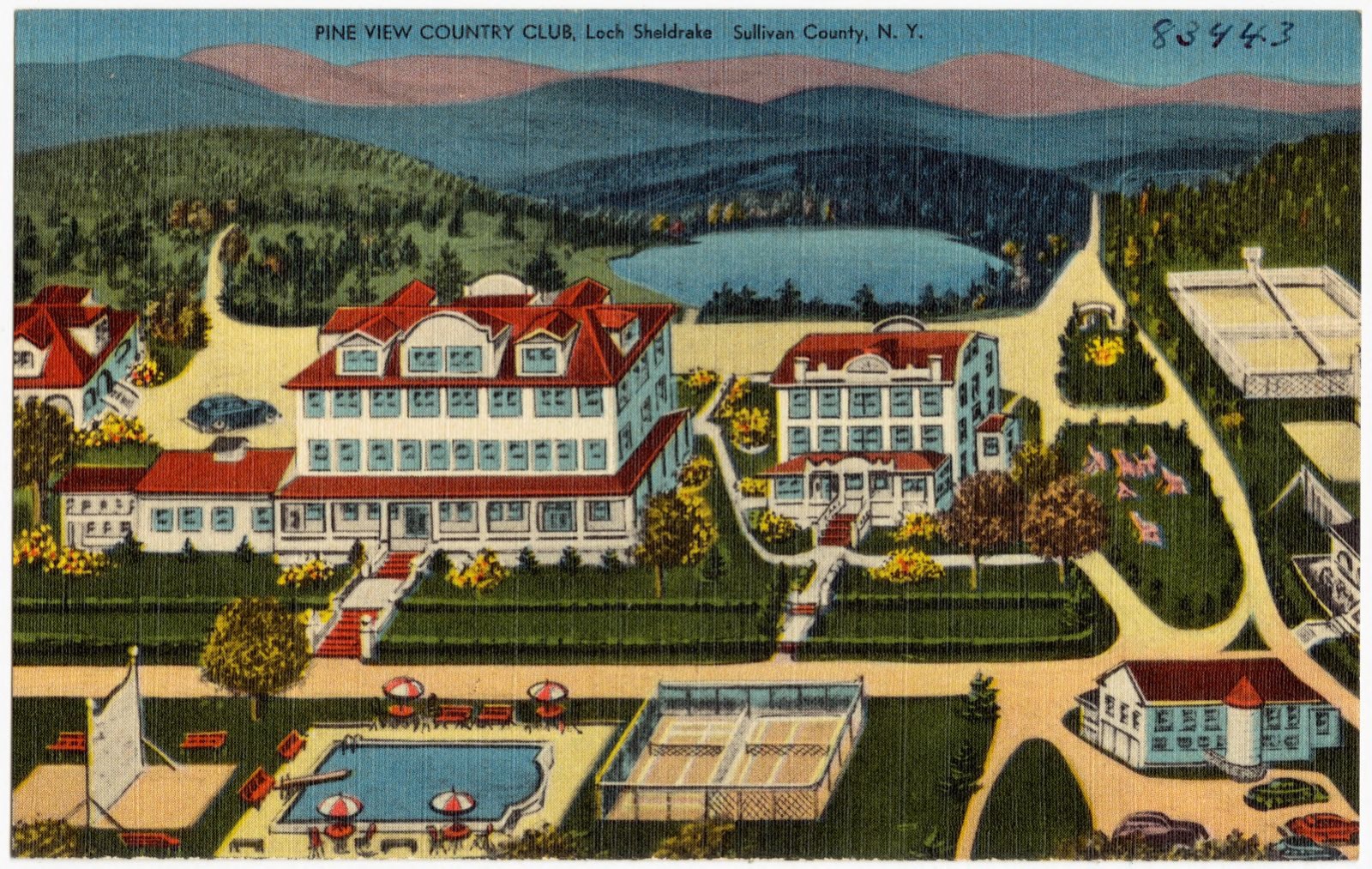
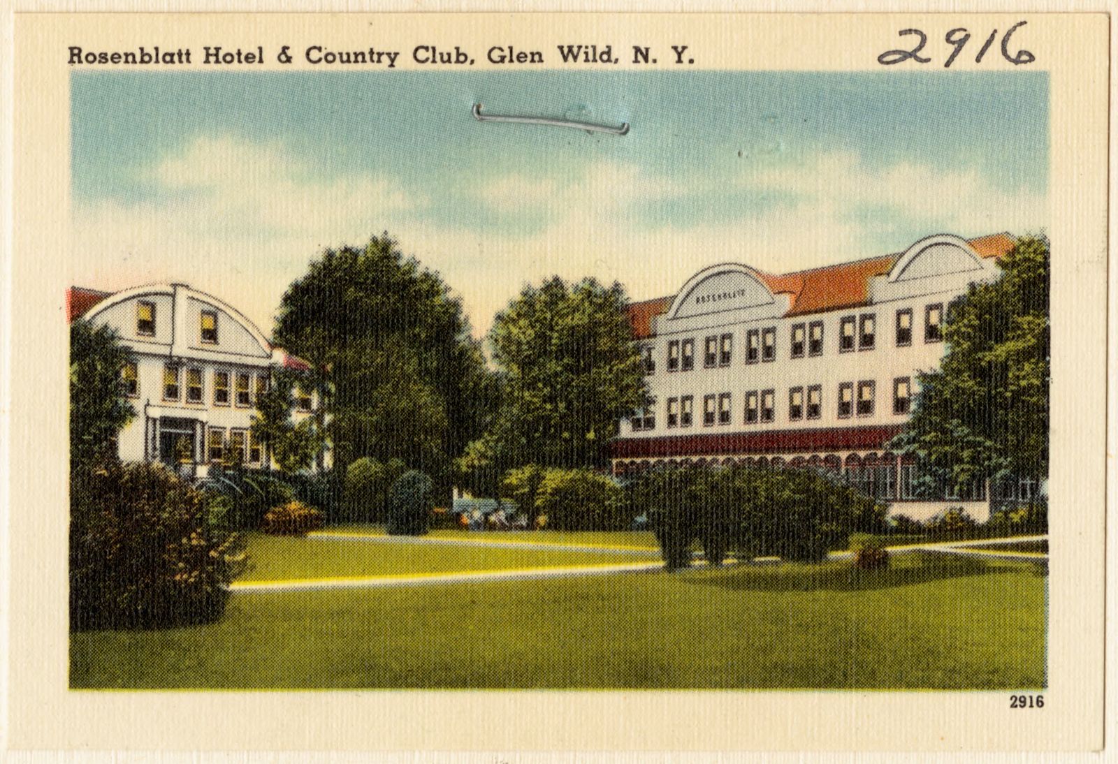
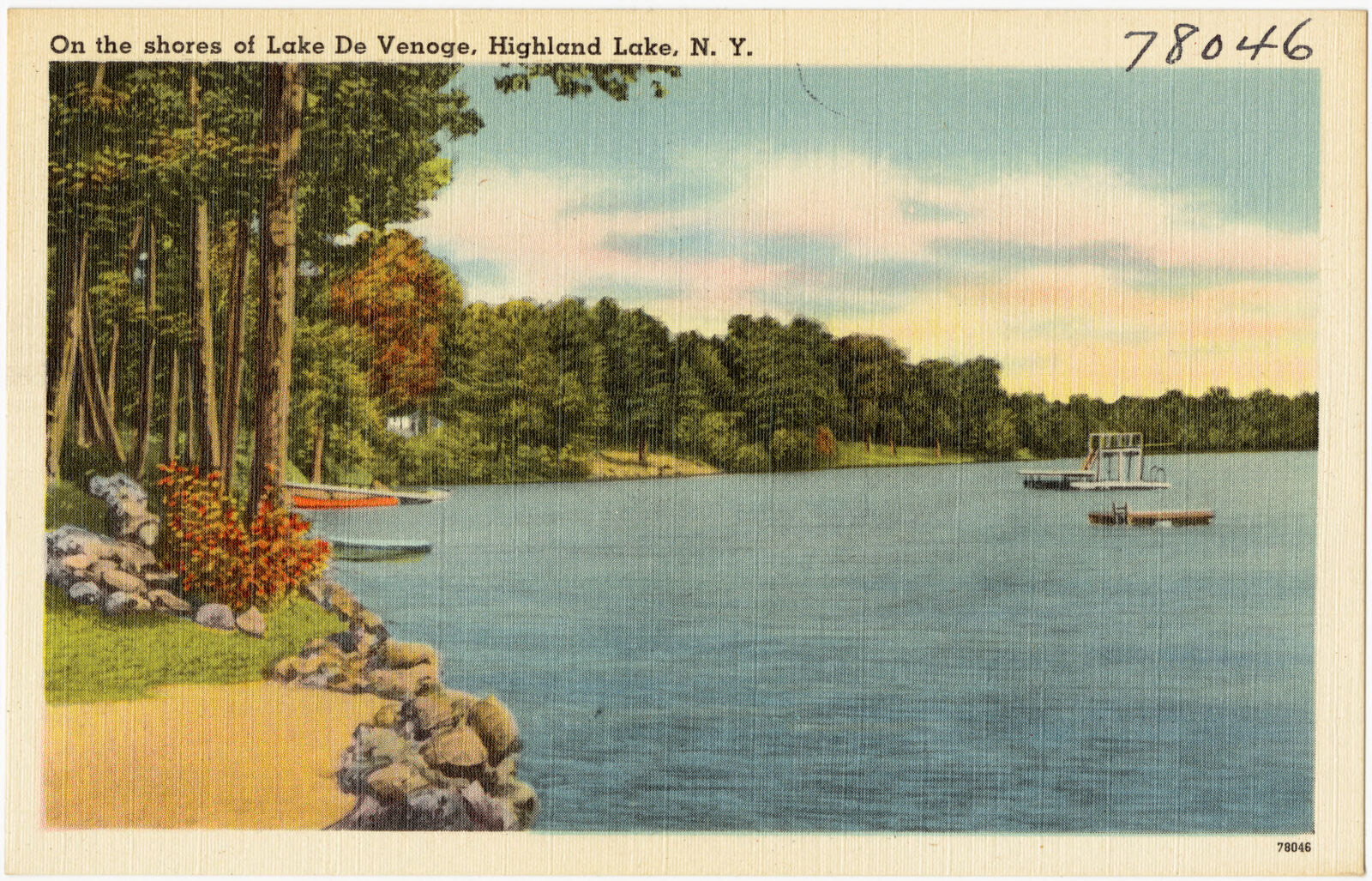
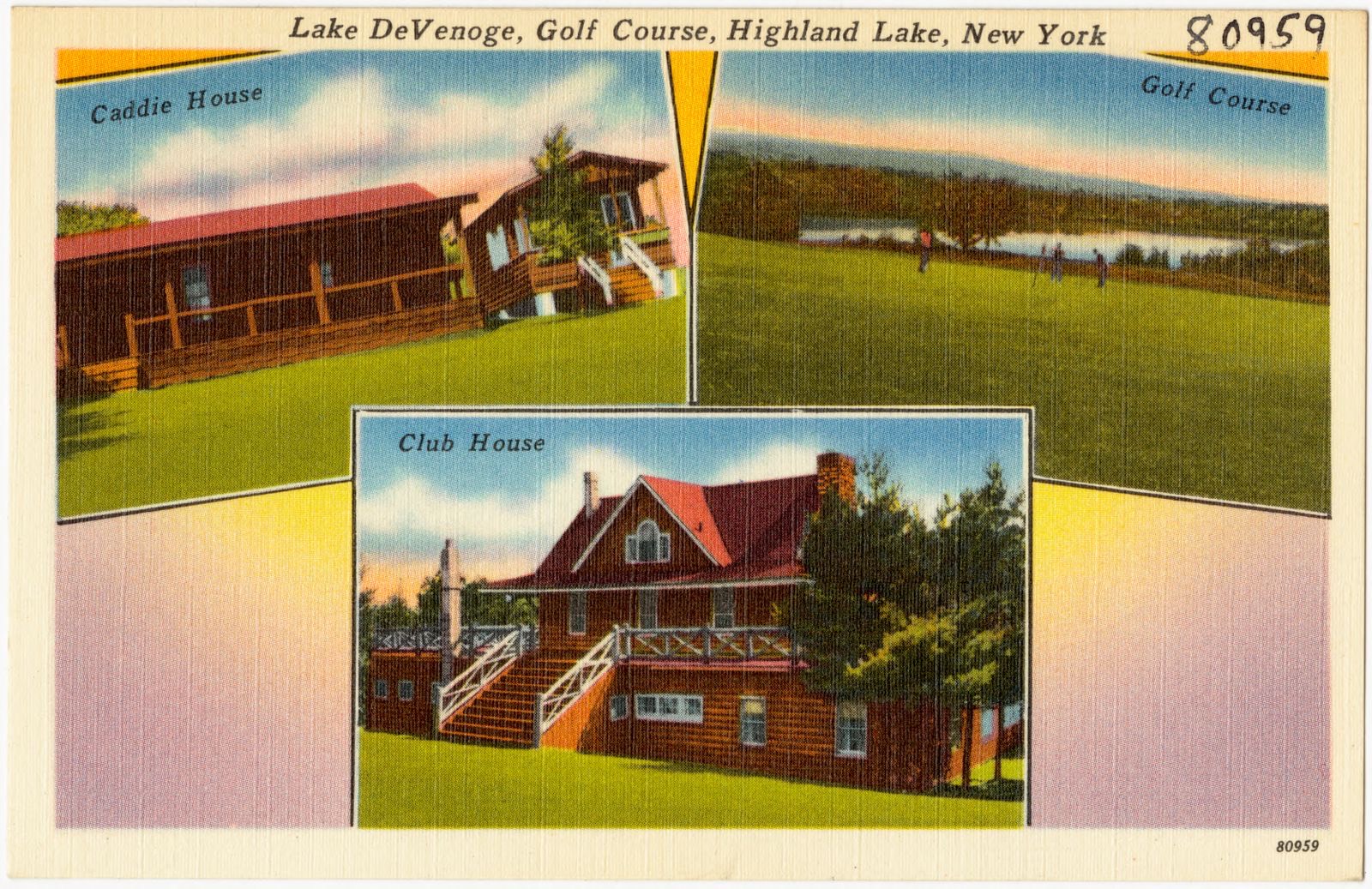
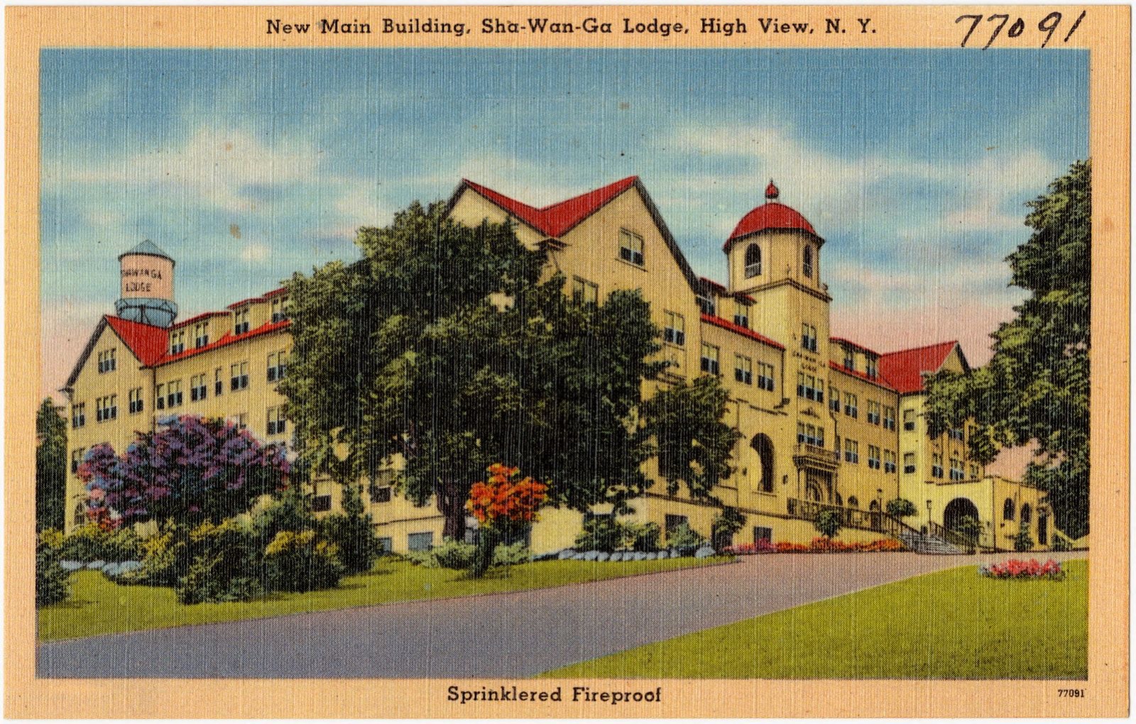
Selected from the Digital Public Library of America's 72 image records catalogued for this county. Every one shown here carries a public-domain status or a licence that permits reuse on a site that carries advertising; non-commercial, share-alike and restricted images are excluded. The selection is spread across the county's towns (at most eight per town), so no single institution's bulk upload crowds out the rest. Each opens the holding library's record, and the complete set at the Digital Public Library of America is one click away.
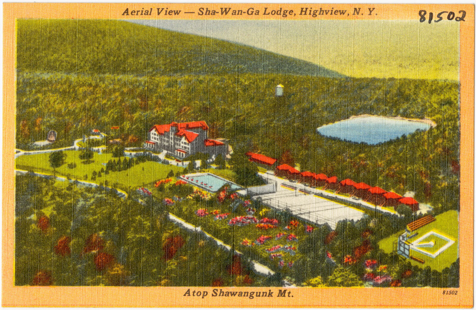
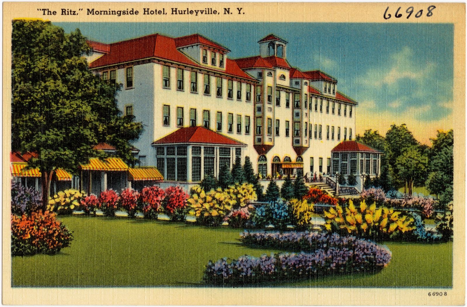
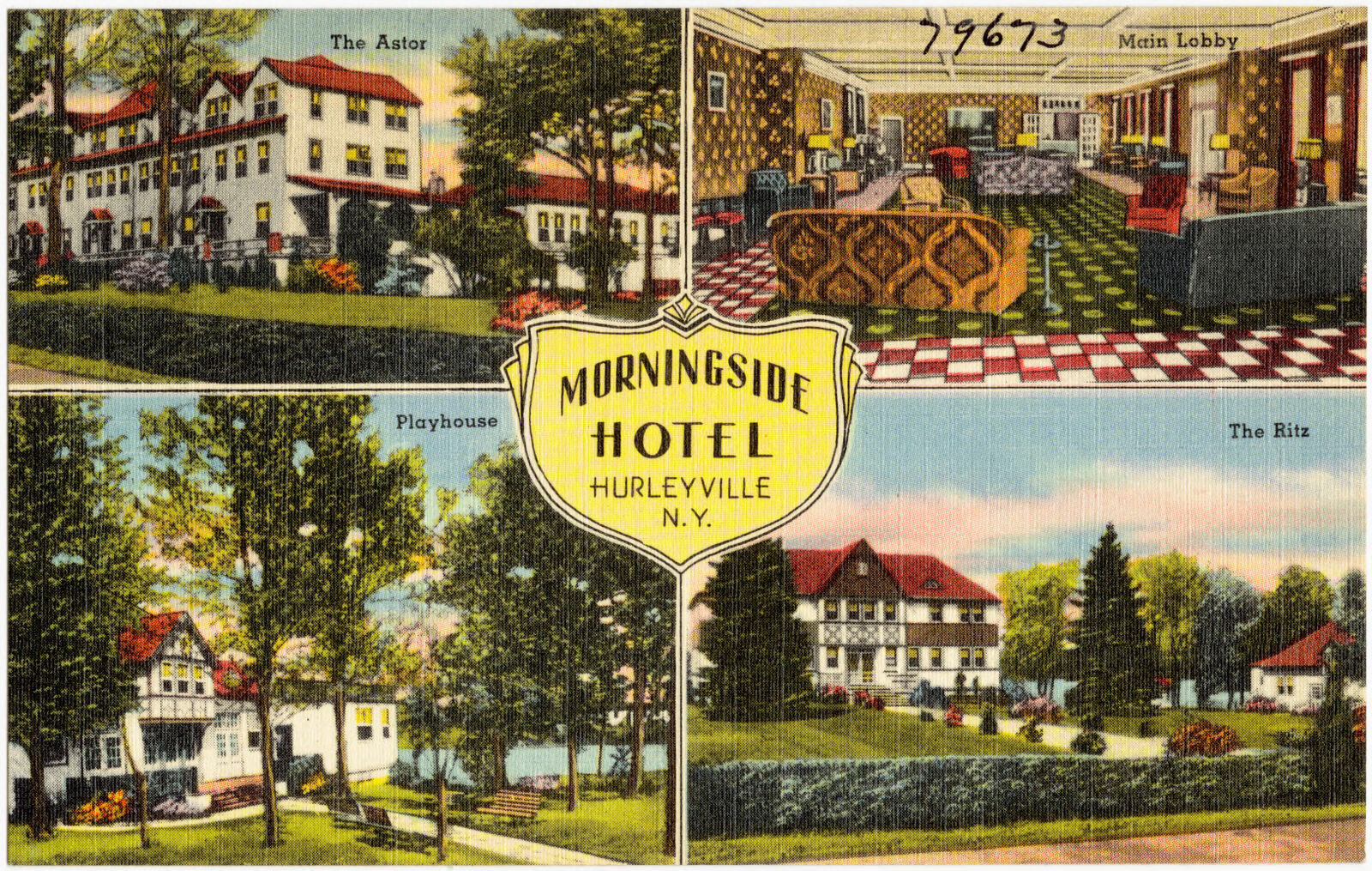
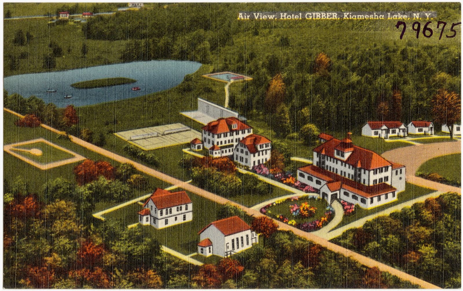
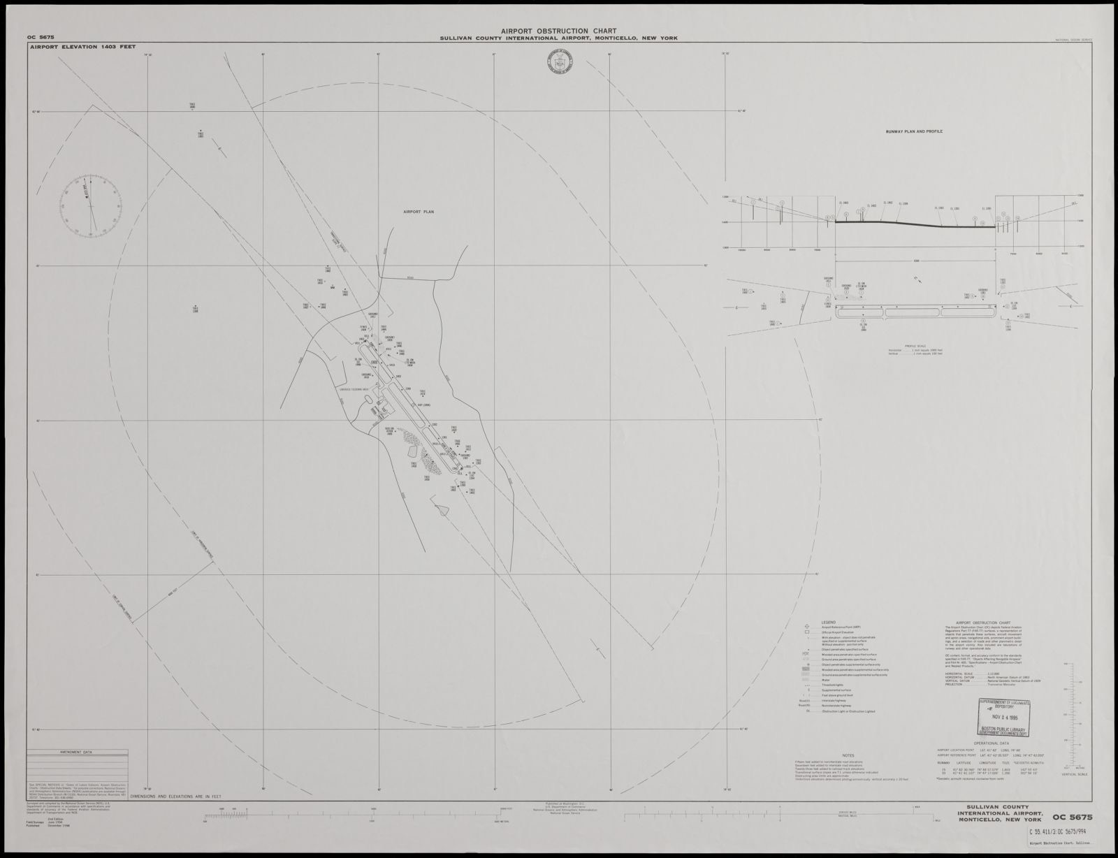
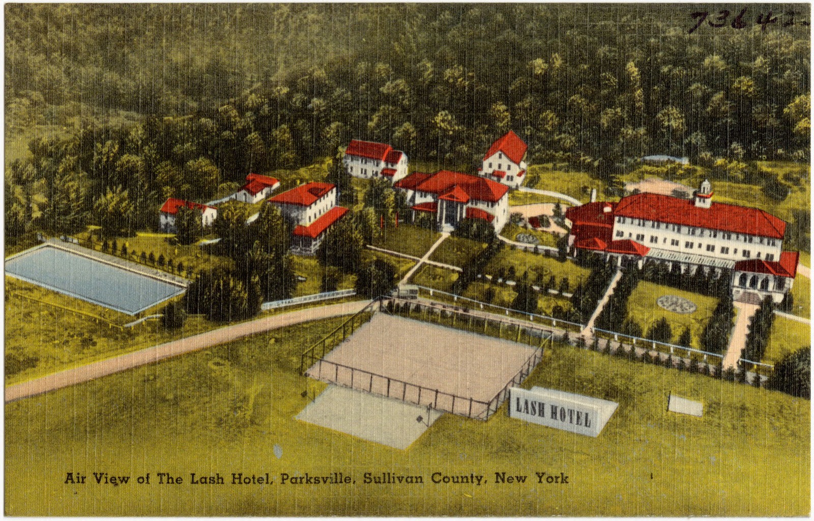

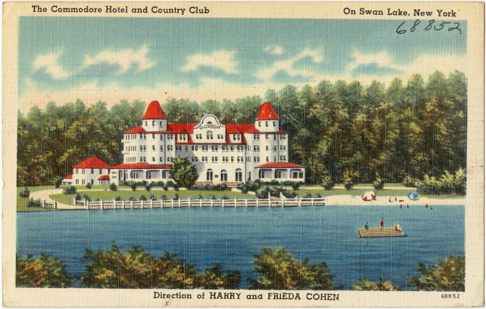
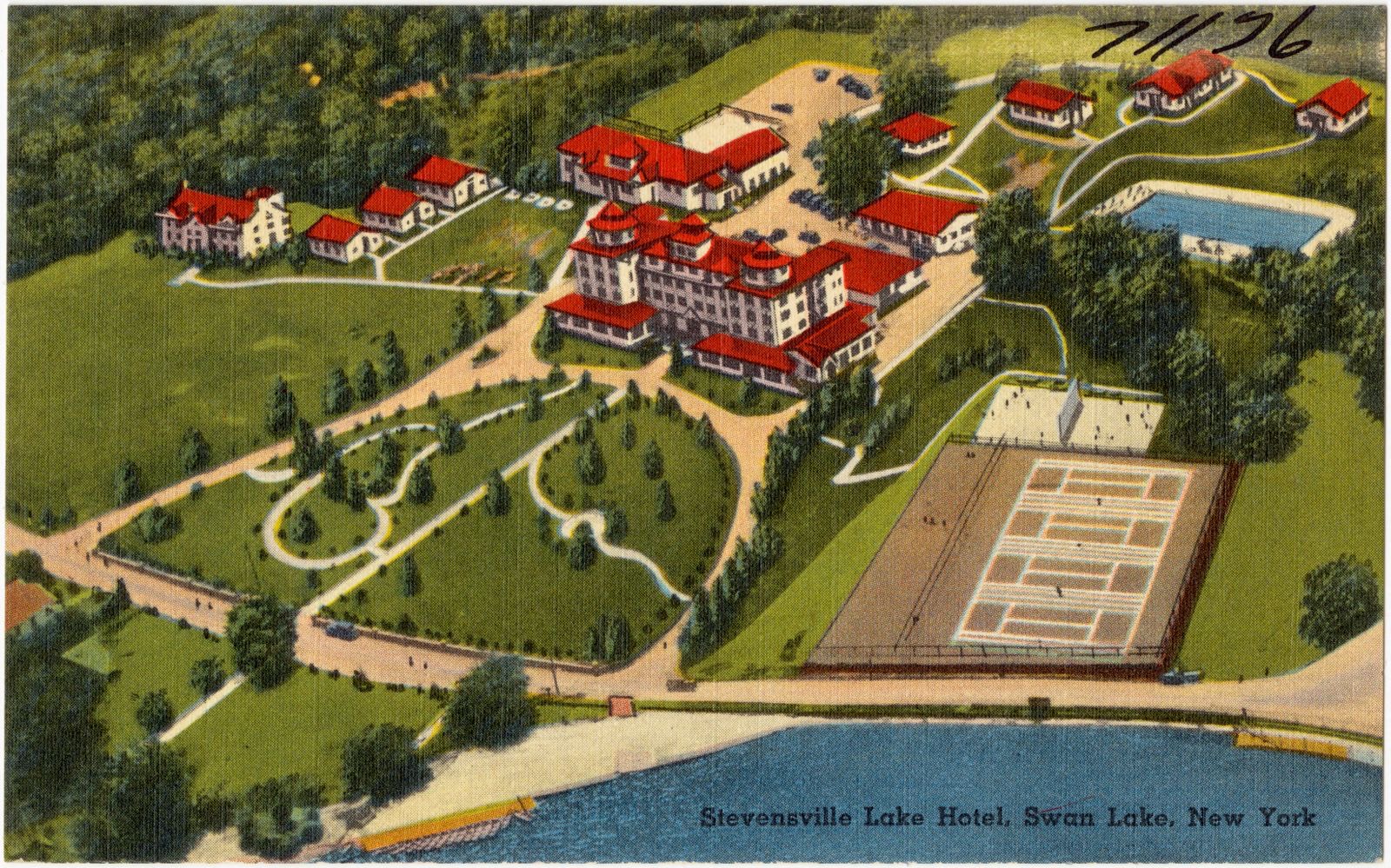
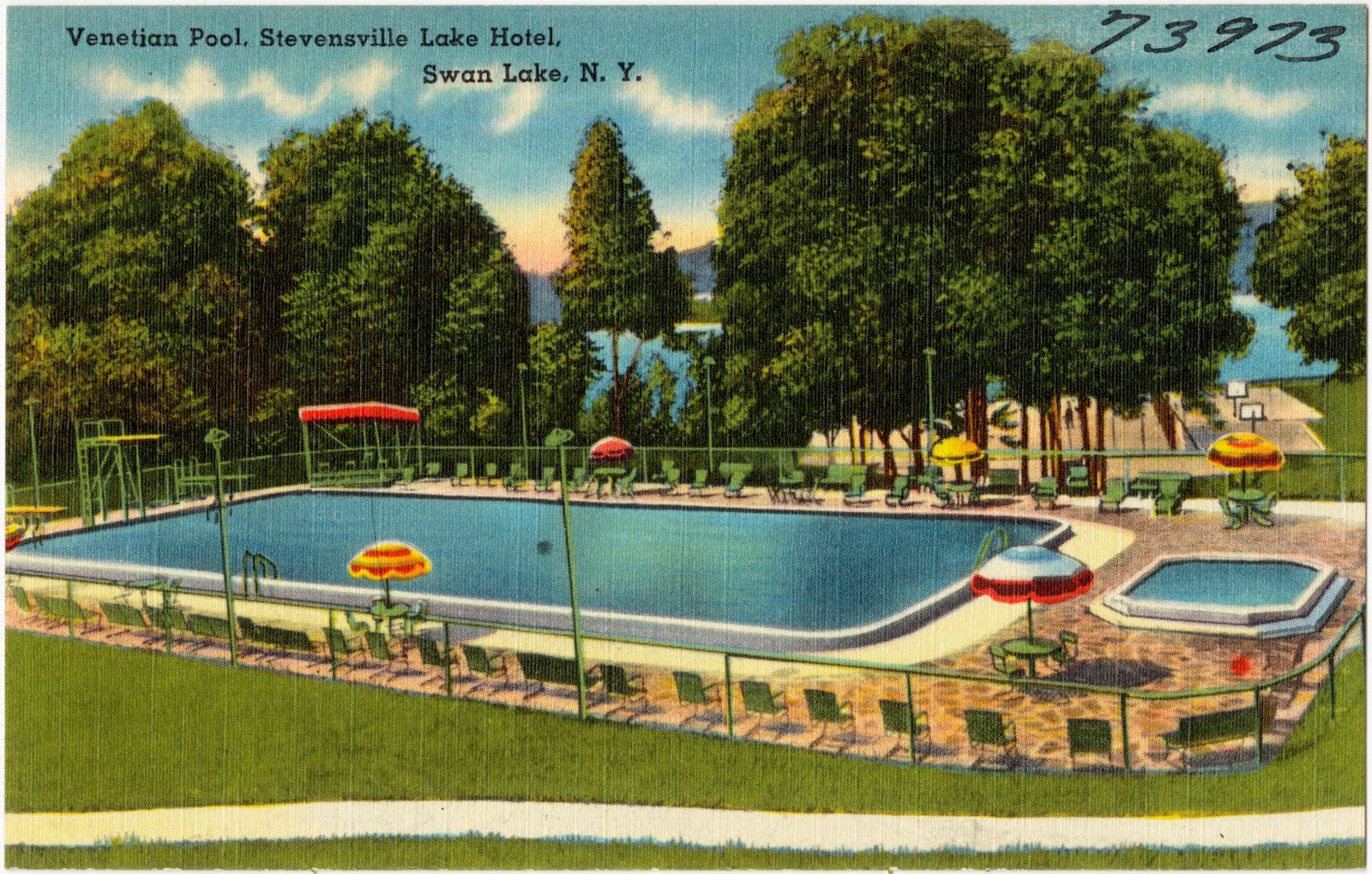
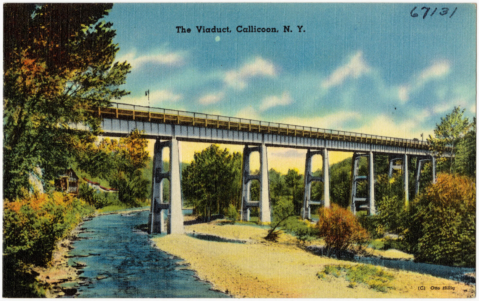
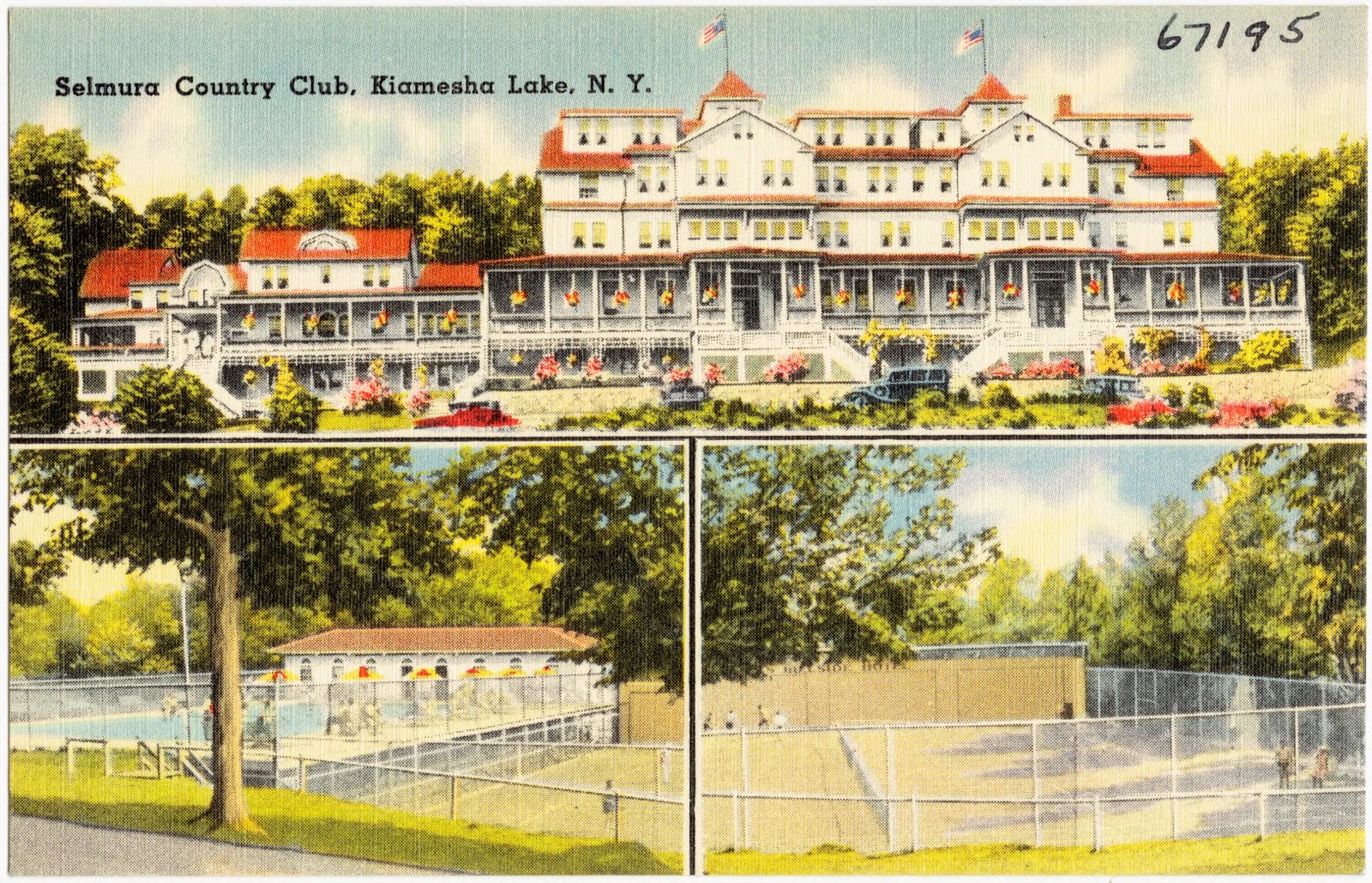
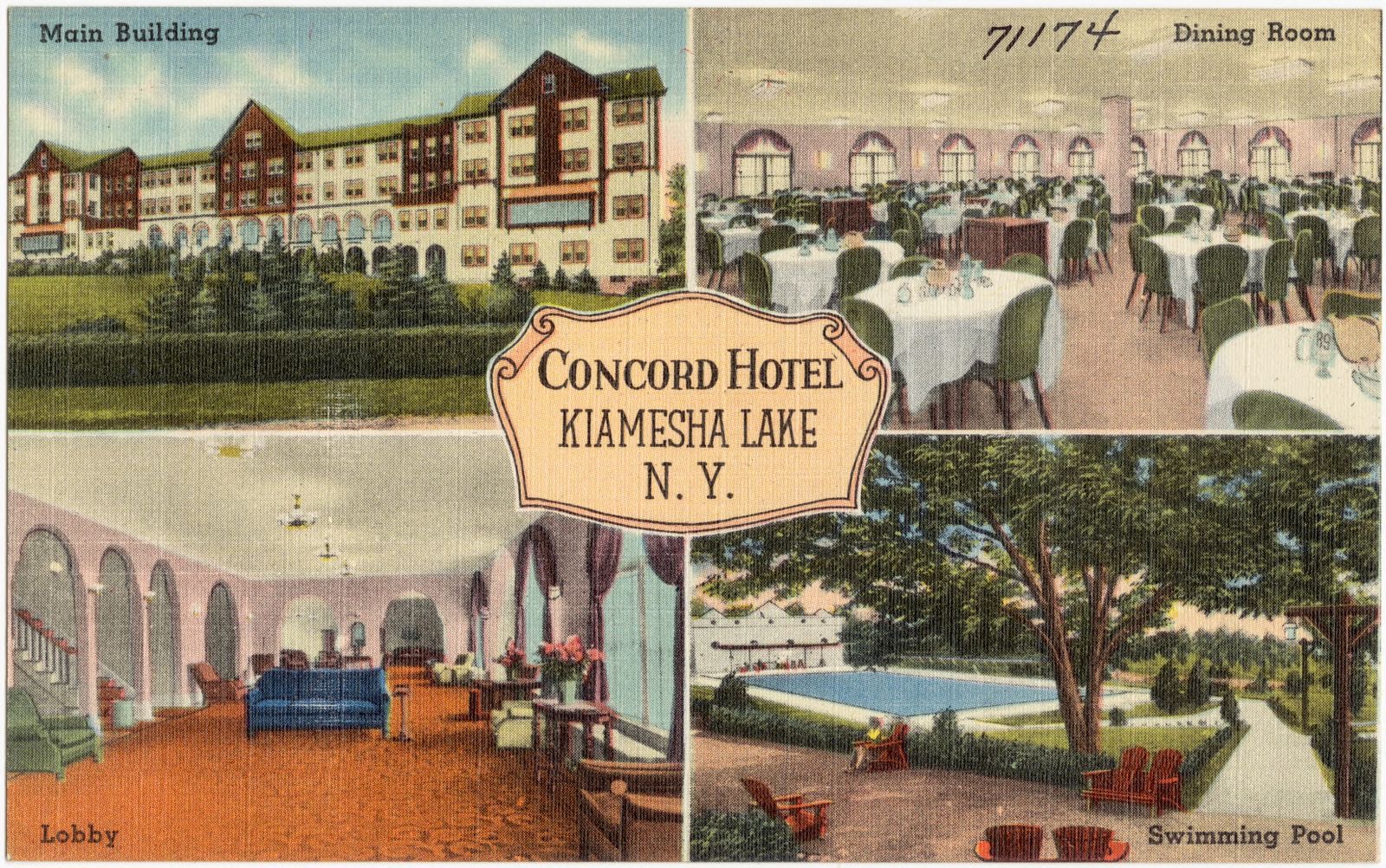
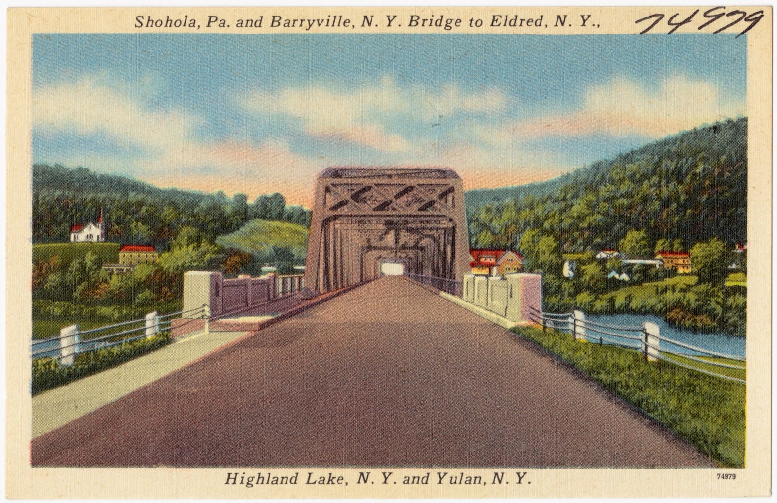

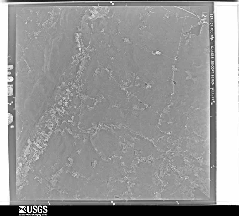
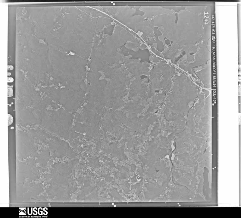
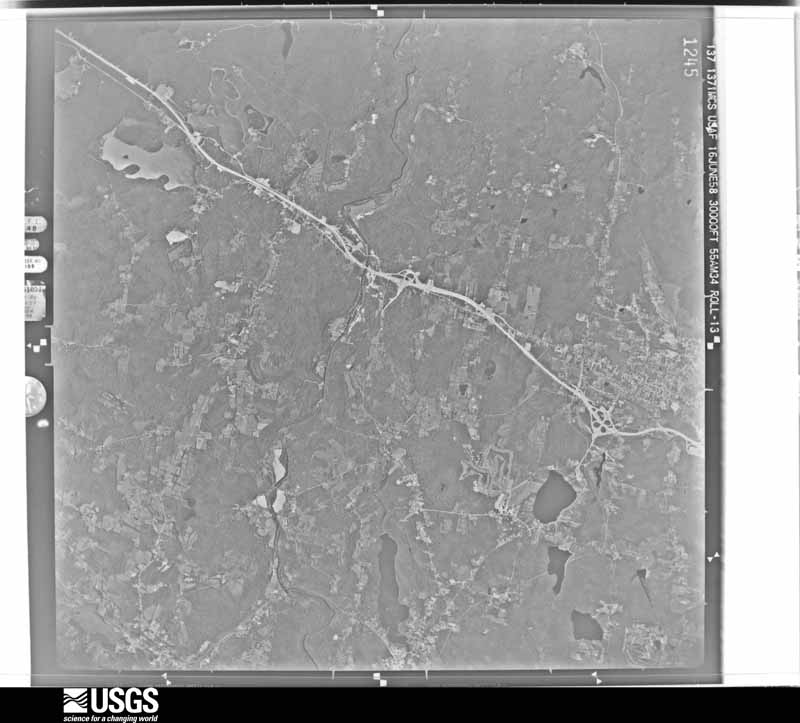
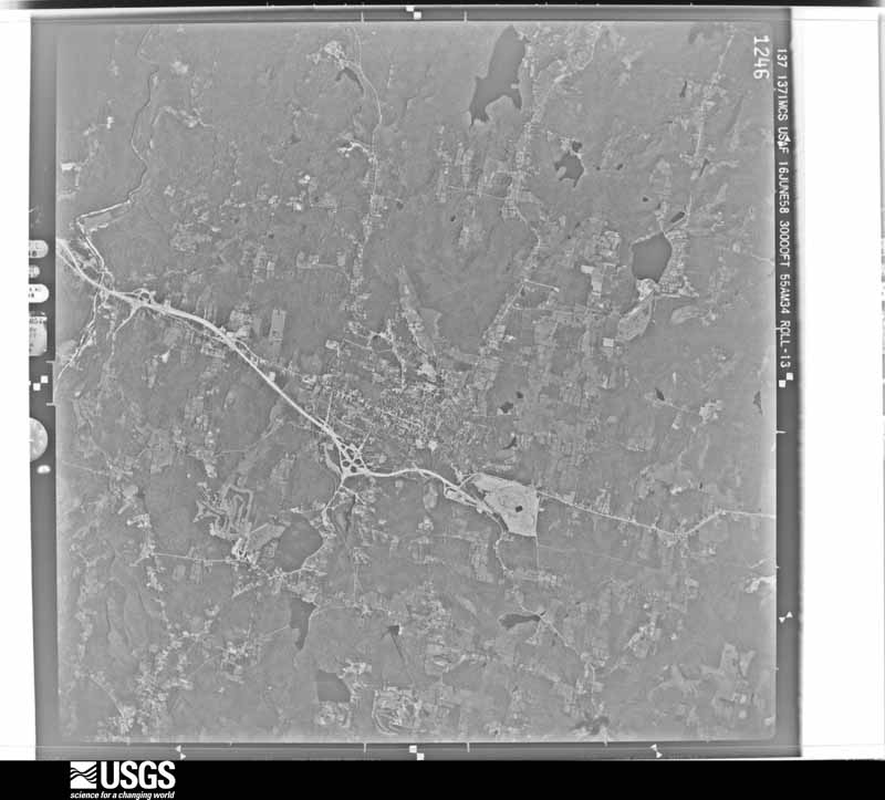
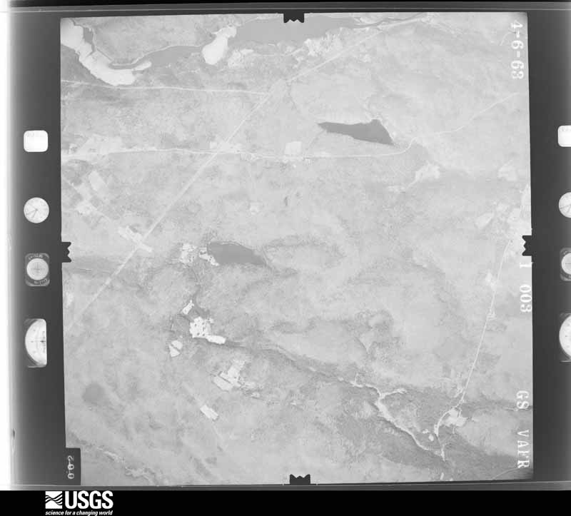
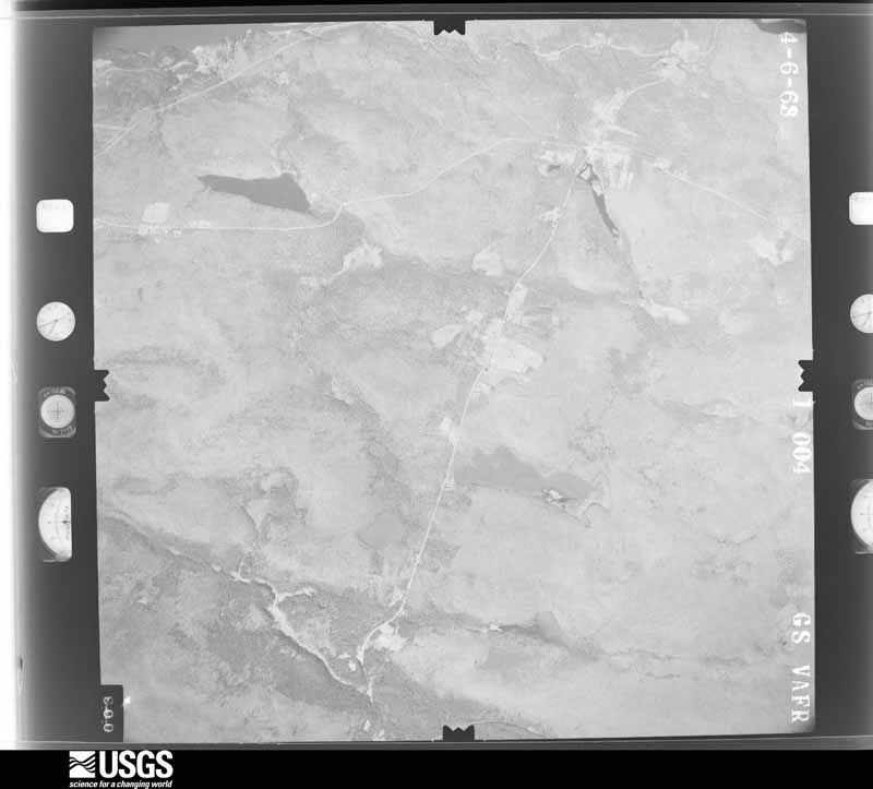
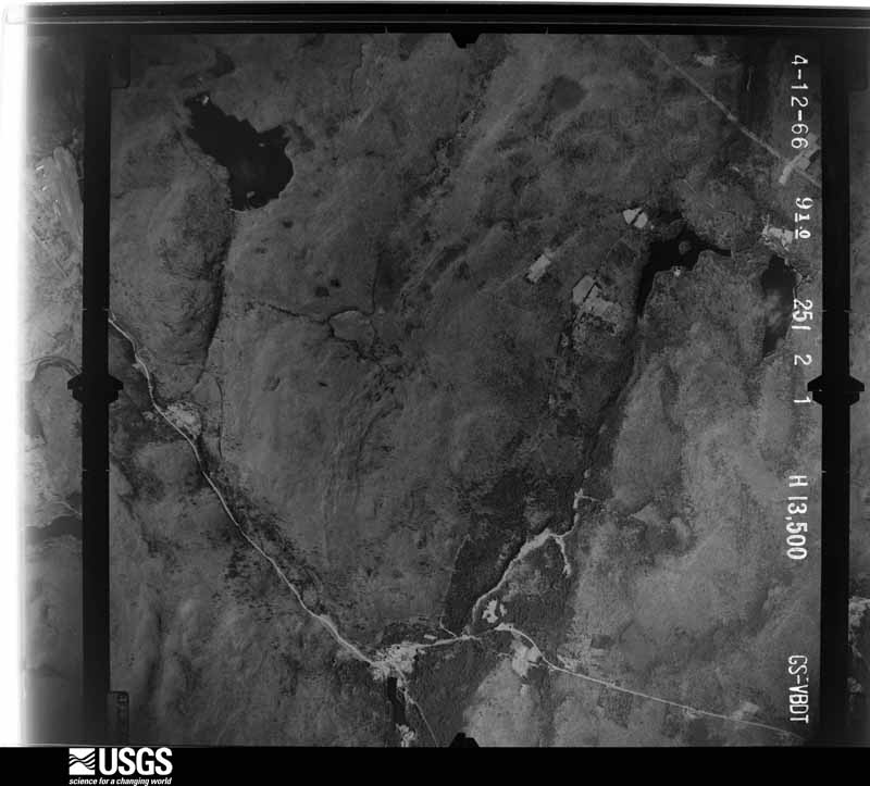
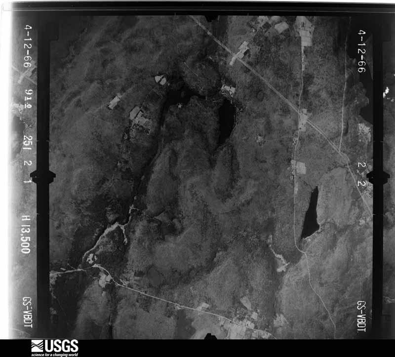
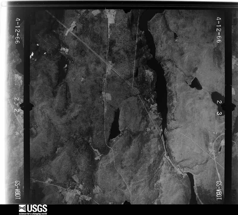
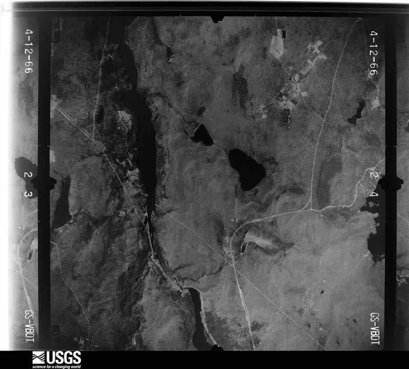
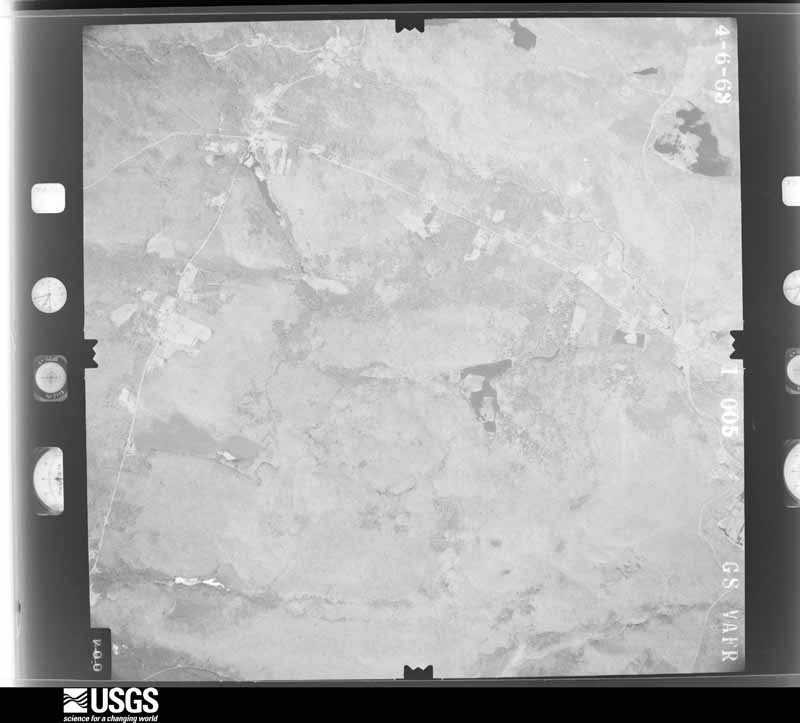
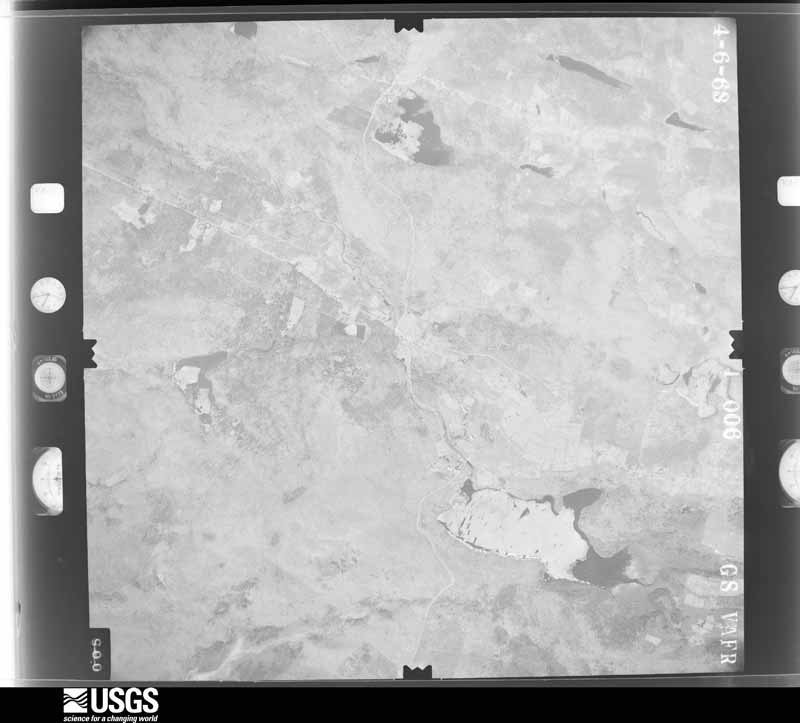
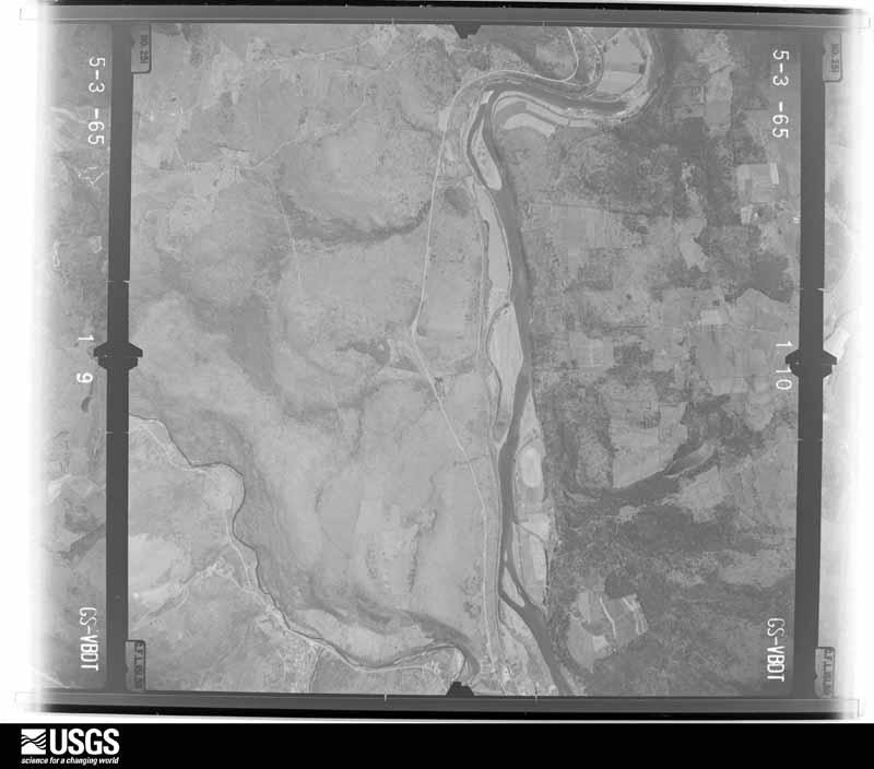
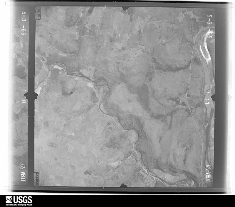
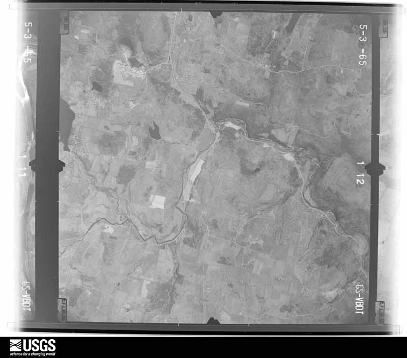
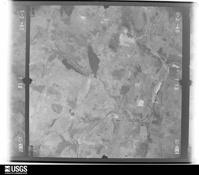
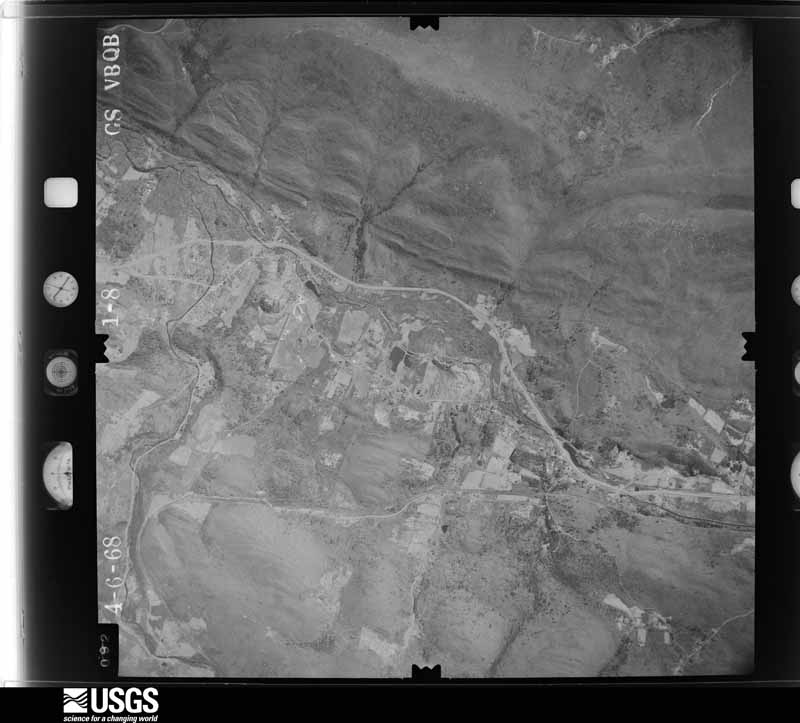
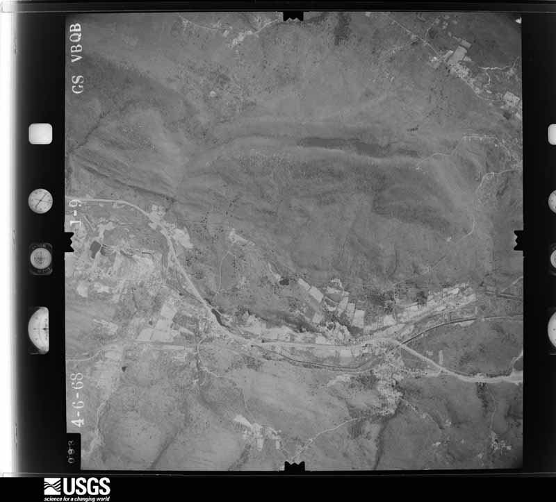
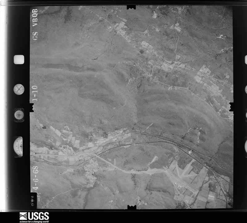
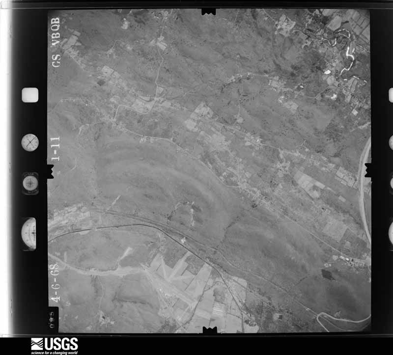
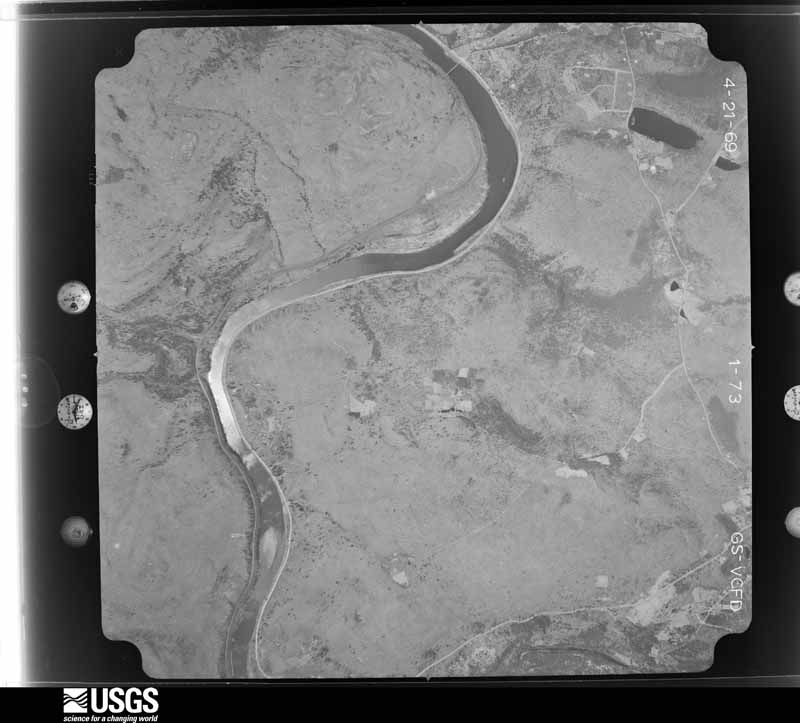
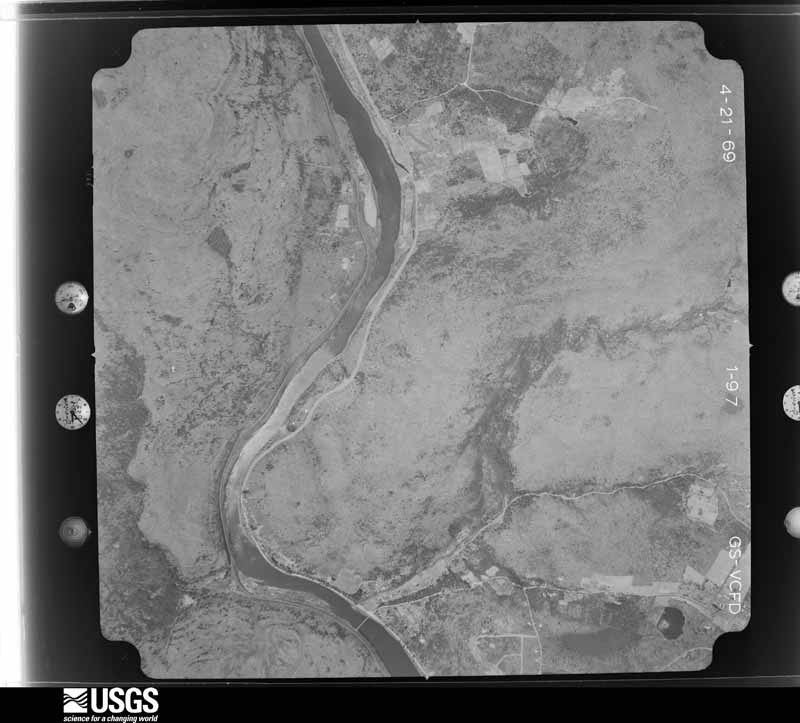
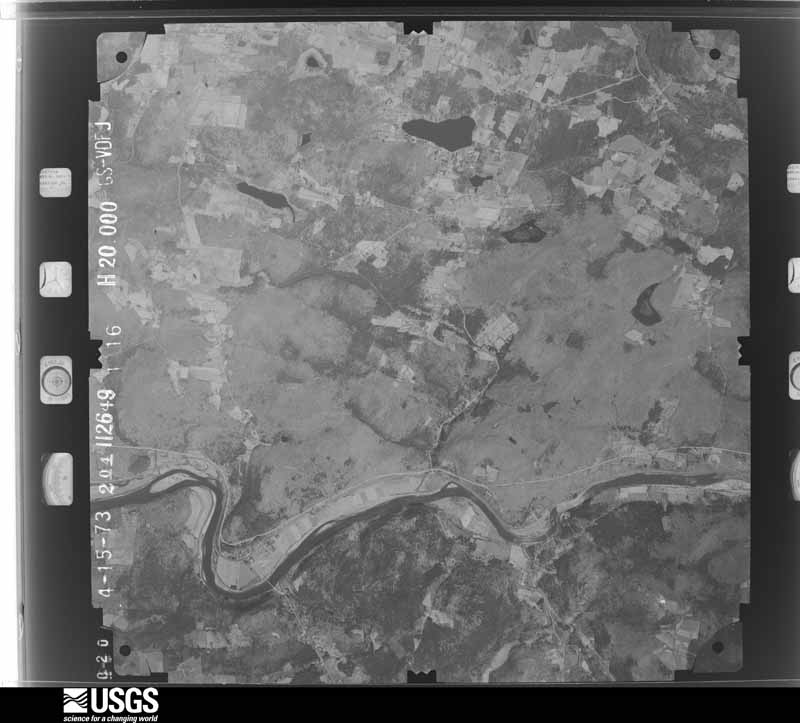
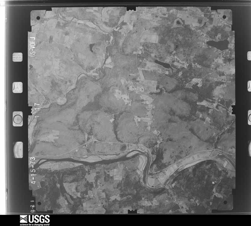
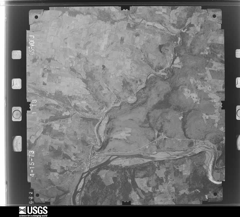
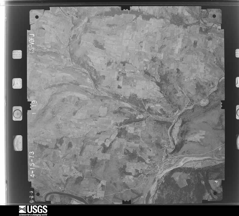
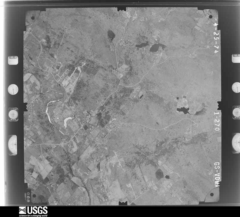
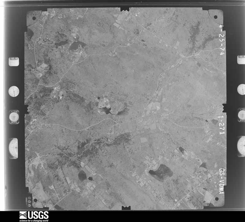
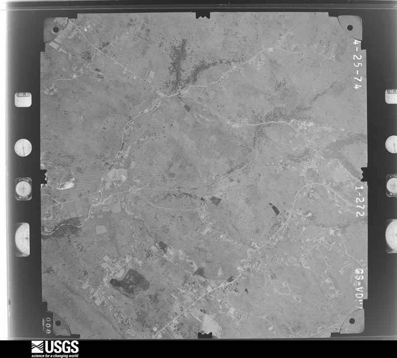
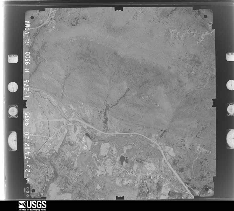
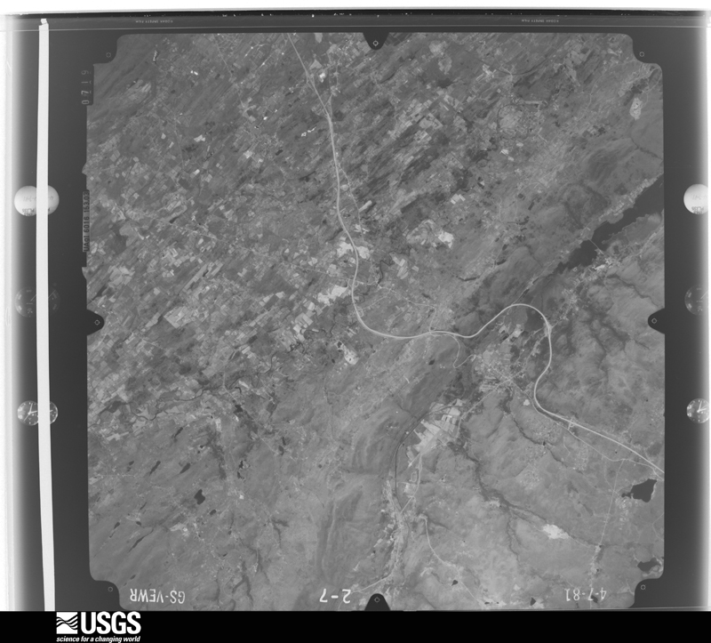
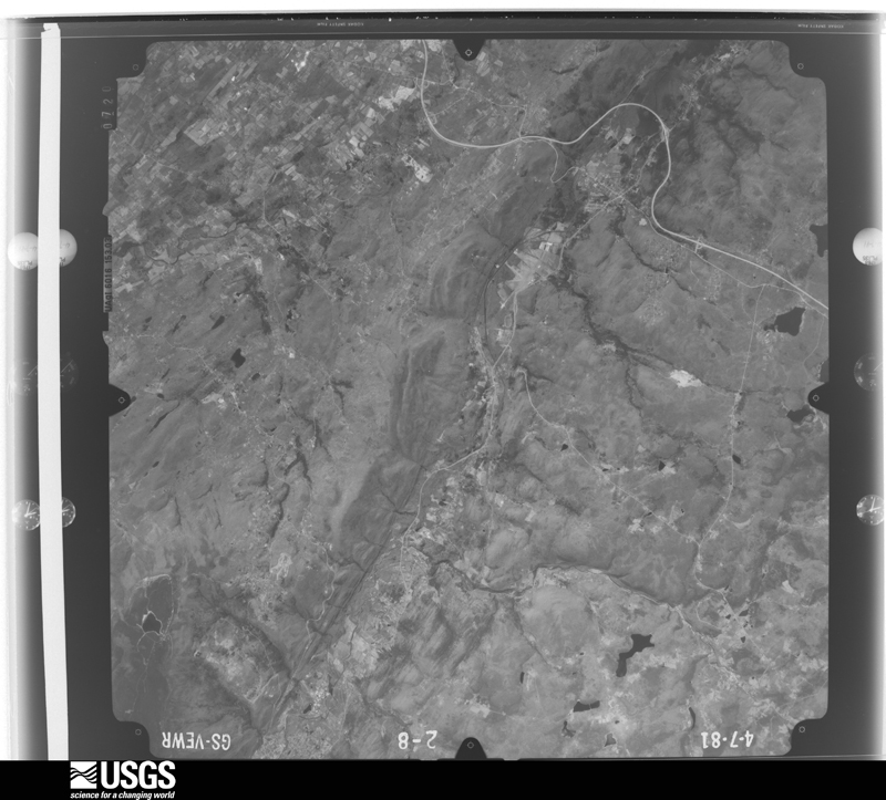
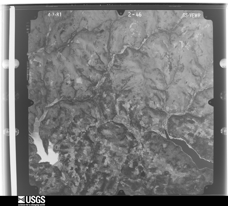
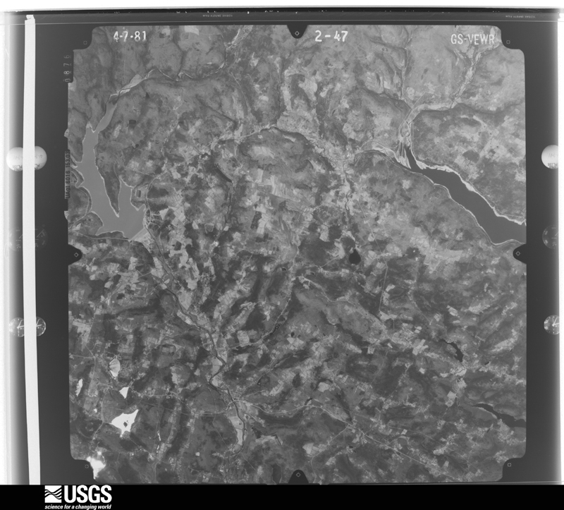
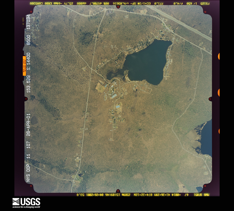
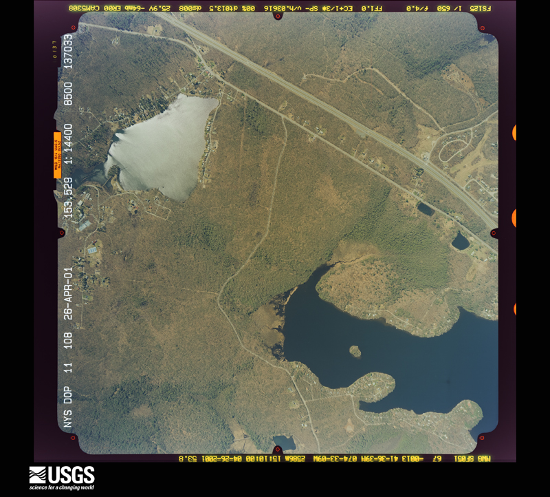
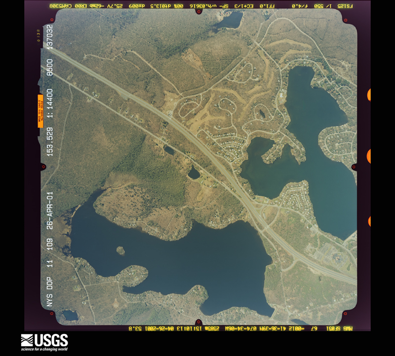
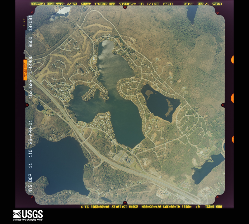
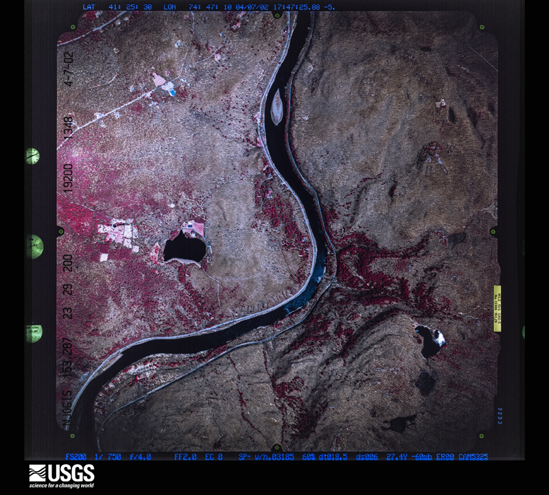
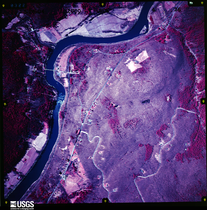
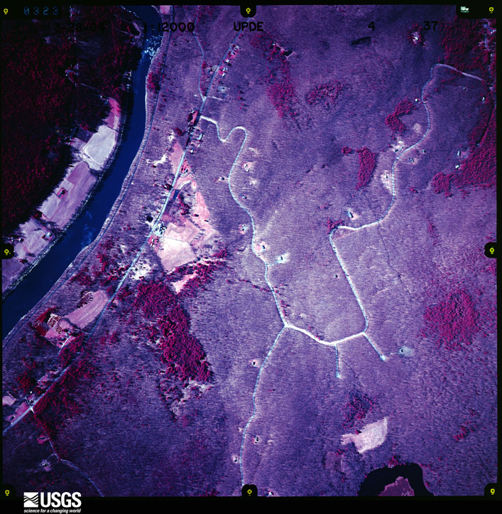
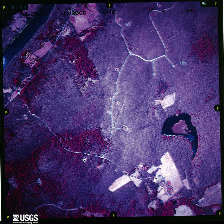
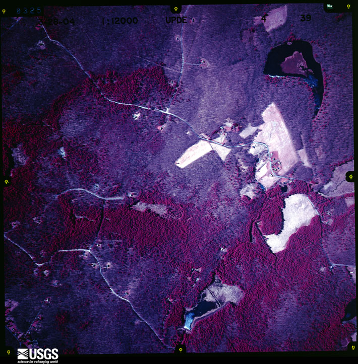
Flown by the U.S. Geological Survey between 1937 and 1989, the Aerial Photo Single Frames collection is the definitive mid-century view of the land: fields, roads and rivers as the camera saw them. The Survey holds 2,753 frames inside the rectangle that bounds this county; the 43 frames below were taken over the county itself, chosen across the decades of flights (at most four a year from that rectangle), so one flight cannot crowd out the rest. The full set is free to browse and download at EarthExplorer under the dataset Aerial Photo Single Frames.
The thermometers that kept this county's weather, and the gages that measured the flow of its streams, as the federal records hold them. The extremes below are measured values from those records, not estimates.
Who lived here in 1950, one enumeration district at a time, as the Census Bureau described each district. Each row opens its official National Archives result, with Population Schedules and ED Maps available there.
Every wildfire the federal occurrence database records inside this county: 1,512 of them, burning about 6,012 acres. 121 started naturally and 176 were recorded as arson. Each settlement page carries the fires within five miles of it.
| Reported cause | Fires |
|---|---|
| Missing data/not specified/undetermined | 622 |
| Debris and open burning | 240 |
| Arson/incendiarism | 176 |
| Smoking | 158 |
| Natural | 121 |
| Equipment and vehicle use | 69 |
| Power generation/transmission/distribution | 59 |
| Recreation and ceremony | 30 |
| Misuse of fire by a minor | 21 |
| Other causes | 15 |
| Fireworks | 1 |
The five largest, by the area the report gives. Three of them were set deliberately.
| Date | Cause | Size | Reported by | Name on the report |
|---|---|---|---|---|
| 3 May 2015 | Debris and open burning | 2,759 acres | New York Forest Rangers | ROOSA GAP FIRE |
| 18 April 2002 | Natural | 388 acres | New York Forest Rangers | PAINTER HILL |
| 18 April 2009 | Arson/incendiarism | 300 acres | Fire Department of New York | WURTSBORO RIDGE |
| 20 May 1992 | Missing data/not specified/undetermined | 163 acres | New York Forest Rangers | not named |
| 25 April 1998 | Misuse of fire by a minor | 105 acres | New York Forest Rangers | not named |
| 1 May 2006 | Missing data/not specified/undetermined | 102 acres | Fire Department of New York | not named |
| 1 May 2002 | Arson/incendiarism | 65 acres | New York Forest Rangers | not named |
| 15 April 1992 | Arson/incendiarism | 65 acres | New York Forest Rangers | not named |
Every settlement page carries the fires within five miles of it - see the settlement index below.
The NOAA Storm Events Database holds 547 reports for this county, causing 3 deaths, 16 injuries and about $207,954,750 in recorded property damage. Each settlement page carries the reports that name it.
| Kind of event | Reports |
|---|---|
| Thunderstorm Wind | 326 |
| Hail | 119 |
| Flash Flood | 67 |
| Tornado | 12 |
| Flood | 11 |
| Lightning | 6 |
| Heavy Rain | 4 |
| Funnel Cloud | 2 |
The most serious of them, by death, then injury, then recorded damage. The accounts are quoted exactly as the forecast office filed them.
| When | Event | Place named | Harm | What the report says |
|---|---|---|---|---|
| June 2006 | Flash Flood | North Portion | 1 killed, $100,000,000 | no account filed |
| October 2010 | Flash Flood | Rockland | 1 killed, $10,000 | Heavy rain caused flooding of numerous roads throughout the county, including Rockland. A vehicle fatality occurred at about 5:00 AM on the morning of October 1st in the Town of Neversink. The driver was traveling to work and was swept by floodwaters into Willowemoc Creek. The body of the 55 year old woman was found the next morning along the shore of the Neversink Reservoir. |
| August 1996 | Lightning | Fallsburgh | 1 killed | no account filed |
| May 1961 | Tornado (F2) | not stated | 4 hurt, $2,500,000 | no account filed |
| June 2000 | Thunderstorm Wind | Highland Lake | 4 hurt | Law enforcement officers reported 4 people seriously injured when a tree was blown down onto a tent at Kittatinny Campgrounds in Barryville. |
| June 1986 | Tornado (F1) | not stated | 2 hurt, $250,000 | no account filed |
| June 1972 | Tornado (F2) | not stated | 2 hurt, $250,000 | no account filed |
| September 1996 | Tornado (F1) | Monticello | 1 hurt, $500,000 | no account filed |
| September 1996 | Tornado (F1) | Monticello | 1 hurt, $500,000 | no account filed |
| May 2013 | Hail | Roscoe | 1 hurt, $10,000 | Person injured by falling hail at the campground in Roscoe as he was trying to seek shelter in bath house at campground. |
| August 2000 | Lightning | Narrowsburg | 1 hurt | A woman was struck by lightning while talking on a cordless phone in her residence. The fire department was needed to assist in reaching the victim by boat due to flooding. |
| November 1989 | Tornado (F1) | not stated | $25,000,000 | no account filed |
| August 2004 | Flash Flood | West Brookville | $20,000,000 | Heavy rain caused flash flooding. Numerous roads were flooded. Reports of power poles being washed out of the ground. One residence was undermined enough to partially collapse. Evacuations took place. Rainfall amounts were 1 to 4 inches. |
| July 2008 | Flash Flood | Rockland | $15,000,000 | Heavy rain from thunderstorms caused significant flash flooding. All roads in the towns of Colchester were closed, and a State of Emergency was declared. 15-20 residents were evacuated near County Highway 7. Serious damage occurred to a bridge on the highway. Portions of the road on Holiday and Berry Brook were completely washed out, and one rescue took place from a car. Flooding also occurred along Route 206 from Rockland to Route 30. Highway 17 west of Roscoe, Old Route 17 near Roscoe and Route 17 eastbound east of Roscoe were all closed due to washouts of portions of the highway. Water surrounded a home in Jeffersonville. |
| September 2004 | Flash Flood | Countywide | $15,000,000 | Heavy rain with amounts of 3 to 6 inches caused flash flooding. The heaviest amounts were at the highest elevations in the northwest section of the county. The rain which fell from the 16th to the 18th was due to the remnants of hurricane Ivan. Most streams and creeks went out of their banks. In addition, the Delaware River had major flooding. 300 homes and at least a dozen businesses had damage. Several campgrounds were completely wiped out. Livingston Manor was completely flooded. Across the county 1200 people were evacuated. 10 people were rescued in Roscoe and 19 in Callicoon. |
| April 2005 | Flash Flood | Countywide | $10,000,000 | no account filed |
| January 1996 | Flash Flood | Countywide | $8,700,000 | no account filed |
| August 2000 | Flash Flood | Countywide | $1,300,000 | Persistent rains associated with a nearly stationary upper level low pressure system produced a prolonged period of very heavy rain across Sullivan county. Extensive flooding was reported in Cochecton, Delaware, and Tusten where a State of Emergency was declared because of numerous road and bridge washouts. One stone bridge at Ten Mile River, constructed in 1895, was destroyed as were other bridges built above the 100 year flood level. A portion of County Route 23 half a mile long was completely washed out. Rainfall reports of 8 to 10 inches were recieved from the area. |
| August 2011 | Flash Flood | Lowes Corners | $1,000,000 | Catastrophic flash flooding occurred in Claryville. Route 19 was completely covered with water. Numerous mud slides were reported. Many residents reported this as historic flooding, the worse they have ever seen. Fifty homes were flooded. |
| December 2000 | Flash Flood | Countywide | $1,000,000 | Very heavy rain, totaling 2 to 5 inches of rain, fell across this area from the 16th into the 17th. This combined with snowmelt of up to another inch of water equivalent. Many roads were flooded or washed out. People were evacuated in Jeffersonville. A state of emergency was declared in the towns of Rockland, Liberty and Callicoon. Many streams were out of their banks. Basements also became flooded. |
| August 2011 | Flash Flood | Winterton | $500,000 | Streams were flowing into buildings due to flash flooding. Route 209 was flooded. |
| August 2011 | Flash Flood | Lowes Corners | $500,000 | Water was flowing through buildings from flash flooding. |
| August 2004 | Flash Flood | Barryville | $500,000 | Several road washouts along State Route 97 in western Sullivan County near Barryville. A culvert was damaged on Buff Road in the town of Cochecton. On August 14th, but due to the rain on the 12th, a private bridge collapsed off Aukerman Road in the town of Tusten. A large sink hole developed when a car drove over the bridge. The car fell into the sink hole. Localized rainfall amounts were 2 to 4 inches. |
| September 2003 | Flash Flood | North Portion | $500,000 | 1 to 3 inches of heavy rain fell in less than 6 hours. Before this rain the ground was already saturated from several inches of rain that fell on September 2nd. The towns of Delaware and Callicoon were hard hit with several roads undermined or with shoulders eroded. Many roads across northern Sullivan County had to be closed during the flooding. Most were opened after daybreak. Stewart Road in the town of Callicoon was washed out. The water created a 10 foot hole in the road. |
| September 2011 | Flood | Callicoon | $300,000 | Moderate flooding occurred along the Delaware River near Callicoon, NY. The river gauge located near Callicoon crested at 14.34 feet at 5:15 PM on September 8, 2011. |
| June 2007 | Flash Flood | Rockland | $300,000 | Beaver Kill Road was washed out just across the border of Delaware County in the town of Rockland by flash flooding. 300,000 dollars worth of damage was done to this road. |
| July 2014 | Flash Flood | Fremont | $250,000 | Flash flooding was significant and dangerous within the village of Jeffersonville with 3 feet of water rushing through much of the town. Several structures were flooded, and swift water rescue teams were dispatched to the area, and several people were rescued from cars trapped by flood water. The Villa Roma Resort in nearby Callicoon sustained significant flood damages. |
| June 2000 | Tornado (F0) | Rock Hill | $250,000 | A National Weather Service Binghamton survey team studied wind damage in the Emerald Green community, approximately 10 miles southeast of Monticello, NY on Saturday June 3rd 2000. The conclusions were that the damage, which occurred around 630 pm June 2nd, was tornadic and rated as 0 on the Fujita scale (F-0). This rating estimates the wind speed between 40 and 72 mph.The survey began near Essex Street where damage appeared to be straight line, with several trees laying in the same direction. One tree fell through a parked car. Although the damage did not show a tornadic pattern, it was curious how isolated the damage was. Witnesses at the scene claimed there was a lull in the storm, then a sudden whistling and then the sound of a "freight train." One man claimed to see rapid rotation within the rain as the trees were lifted and pushed over. Further damage was witnessed a few tenths of a mile to the east on Scarborough Circle. Several trees were knocked down toward the east-southeast. One tree downed caused considerable damage to a porch/deck. Again the consensus was the wind was straight line, albeit curiously isolated.Minor damage also occurred along East Lake Shore Drive. Shingles were torn off one house and a few shallow rooted trees were toppled in convergent directions. A fence to a tennis court across the street was bent over. A witness from this scene claimed to have seen "a cloud touch down and begin to move across the lake", right in line with the main damage path.Further to the east-southeast, more damage was discovered. Four or five trees were twisted mid to low trunk and sheared off. The trunks were estimated at 8-10 inches. Witnesses in a nearby house claimed the storm seemed to have stopped, and then the rain and strong, damaging wind wrapped back in. Behind this damage to the west-northwest was an ascending field leading up to a ridge top. This area comprises an unfinished golf course. Further investigation led to far more tree and vegetative damage. It was noted along the hill that damage increased in coverage further up, lending credence to the theory of a funnel aloft with the ridge rising up to meet the rotation. Numerous large trees were uprooted and fell in convergent patterns, and there were also trees twisted and sheared off from their lower to middle trunks. At the top of the ridge, a home was discovered with 18 large diameter trees (8-10") uprooted, sheared off, or twisted along the mid-high trunks. Some of the uprooted trees appeared to be in a convergent pattern. A gentleman interviewed was not home at the time of the storm. A couple trees narrowly missed a direct hit on his home, but crushed a corner of the residence's back deck.Based upon the previously described eyewitness accounts, and the twisting / convergent damage pattern of many trees, the storm was determined to be a weak tornado. Track information from a global geo-positioning unit clearly exhibited a west-northwest to east-southeast oriented path of about 1 mile in length. The tornado was up to 200 yards wide near the ridge top with smaller damage swaths in downhill locations. The tornado was likely aloft for much of the storm, with ground interaction most numerous where the ridge rose up to meet it. |
| October 1990 | Tornado (F1) | not stated | $250,000 | no account filed |
| April 2023 | Tornado (EF2) | Jeffersonville | $200,000 | A tornado touched down north of Jeffersonville, along Callicoon Center Road near Laundry Brook, damaging trees. The tornado then moved north, passing through a roadless area between Sander Road and Wahl Road, before crossing Hessinger and Lare Road, snapping several trees and causing minor structural damage. The tornado continued north, crossing John Dietz Road, producing a large blowdown of hardwood trees, and damaging skylights in a nearby residence. Damage in this area rated between EF0 and EF1.||The worst damage, particularly to structures, occurred on a farm and nearby residence on either side of Hahn Road. Severe damage to historic barns, a garage, and outbuildings occurred. A 180 foot truss tower collapsed, completely bending into three sections. A nearby house received seemingly minor damage, but frame damage may have occurred as interior walls were reportedly cracked, and doors unable |to close. A large blowdown of mixed trees also occurred in this area. Damage ranged from EF1 to EF2 in this area. ||The tornado continued north, causing another hardwood blowdown off of Gulf Road, with mostly tree damage along nearby Dutch Hill Road. The tornado then passed through Roscoe, NY, with more sporadic uprooted trees, and lifted as it moved into Rockland, NY. |
| August 2011 | Flash Flood | White Sulphur Spgs | $200,000 | Heavy rain caused streams to flow over roads and flood bridges. |
| July 2002 | Lightning | Tusten | $200,000 | Lightning struck Cortese Auto Body Shop on Route 97. The lightning started an electrical fire which spread quickly to several cans of paint thinner and paint. The building was completely engulfed by the time the fire department arrived. Two people inside the building at the time of the strike got out uninjured. The shop was a total loss. A school bus, several other vehicles, tools and equipment in the shop were all destroyed. |
| May 2018 | Thunderstorm Wind | Lava | $100,000 | A powerful line of thunderstorms blasted the Narrowsburg, Tusten, Yulan and Forestburgh areas blowing down numerous trees. There were several |locations with widespread blow downs of mainly pine and spruce |trees. There were also many other locations with several trees |blown down and/or snapped. Most of the structural damage was to |trees falling on homes. There was an estimated 20 homes at least |that sustained damage from falling trees. Power was out through a |widespread area with numerous wires down and power poles snapped. |
| July 2014 | Flash Flood | Briscoe | $100,000 | Torrential rainfall flooded numerous streams in the area, causing road washouts. A bridge was overtopped near Youngsville. |
| July 2003 | Tornado (F1) | Aden | $100,000 | The tornado touched down about mile northwest of Neversink Reservoir, just to the west of Hanofee Road, near the town of Aden. In this area a barn and shed were destroyed and many shingles were ripped off the roof of a home. A one inch wooden diameter wooden stake was embedded in the wall of a home. Numerous trees were uprooted or had their tops sheared off. The damage pattern indicate rotation and convergence of the debris and trees. The tornado tracked to the northeast through a wooded area and crossed Hunter Road. The tornado lifted close to Claryville in northeast Sullivan County. |
| February 2017 | Thunderstorm Wind | Highland Lake | $75,000 | A severe thunderstorm blew through southern Sullivan County around 505 pm EST Saturday February 25th, 2017. The thunderstorm produced intense straight-line microburst winds estimated up to 100 mph. Most of the damage was trees down with a few homes seeing damage from trees falling on the homes in Lumberland near Mohican Lake Road. There were around 100 to 200 trees downed with many trees snapped and to a lesser extent uprooted. The damage is consistent with EF1 damage with maximum winds of around 100 mph. |
| March 2011 | Flash Flood | Wurtsboro | $75,000 | Flooding occurred along Route 209 along the Pine Kill Creek. Some evacuations took place. |
| October 2017 | Flood | Livingston Manor | $50,000 | Minor flooding at the confluence of the Little Beaver Kill, and the Willowemoc Creek occurred along Pearl and Main Streets. Flooding is typical in these areas during moderate to heavy rainfall. |
| July 2014 | Flash Flood | Callicoon Center | $50,000 | Several creeks in the area came out of their banks and flooded numerous roads in the Jeffersonville area. |
| July 2014 | Flash Flood | Jeffersonville | $50,000 | Severe flooding was occurring along many county, State and local roads in the area. A bridge over County Route 52 was over topped by flood waters. |
| September 2012 | Flash Flood | Callicoon | $50,000 | Widespread flash flooding was occurring. Callicoon Creek was reported out of its banks in Jeffersonville with 1 to 2 feet of water covering several roads. |
| August 2011 | Flood | Glen Wild | $50,000 | The Neversink River at Bridgeville crested at 18.02 feet at 900 pm EST August 28th, 2011. |
| October 2005 | Flash Flood | Southeast Portion | $50,000 | Heavy rain caused flash flooding across the southeast half of the county. Streams and creeks went out of their banks. Many roads were closed. 6 to 10 inches of rain fell in this area due to a slow moving cold front in the area combined with a surface low moving northeast along the front. The heaviest rain amounts were in the extreme southeast part of the county along the Sullivan and Orange County line. Rain amounts in the extreme northwest of Sullivan County were between 3 and 4 inches. The heaviest rain fell from late morning into early evening on the 8th. Westbrookville in the town of Mamakating was especially hard hit with flooding. The Delaware River did not flood. If it weren't for the drought conditions and dry ground before the rain, the flooding would have been worse. |
| July 2004 | Flash Flood | Northeast Portion | $50,000 | Thunderstorms with heavy rain caused flash flooding. Numerous roads were washed out in the Neversink, Liberty, and Loch Sheldrake areas. |
| November 2004 | Thunderstorm Wind | Countywide | $50,000 | Thunderstorm winds downed trees and wires across northern and western portions of the county on Thanksgiving morning. A tree fell on wires in Kenoza Lake. Trees also fell in Callicoon and Jeffersonville. |
| May 2002 | Flash Flood | Narrowsburg | $50,000 | Several roads were washed out from flash floods in Monticello. 4 inches of rain fell near Narrowsburg. The rain caused extensive washouts and culvert damage. In the Lake Huntington area several homes had serious basement flooding due to surface runoff and the fact that power was knocked out which disabled their sump pumps. County DPW said the most culvert damage was along 17B in Coopers corners. Road damage was also reported in Cochecton. |
| August 2002 | Lightning | Woodbourne | $50,000 | Lightning started a house fire in Woodbourne on Mongaup Road. The house was destroyed. House cost is an estimate. |
| September 2002 | Lightning | Countywide | $50,000 | Multiple thunderstorms with frequent lightning caused power outages countywide during the early morning hours. The Sullivan County 911 center in White Lake got struck by lightning around 3 AM EST. The lightning knocked out the global positioning system clock and the address location technology on dispatchers computers. Lightning knocked out the electricity in Jeffersonville, Callicoon Center, Fosterdale, and Liberty. |
| November 1994 | Thunderstorm Wind | Monticello | $50,000 | Severe thunderstorm winds downed large trees, wires and poles along the shore of Swinging Bridge Reservoir during the evening hours of November 1st. In addition a light weight metal dock was blown over and ten boats and a single engine plane were overturned. |
| November 1996 | Flash Flood | Countywide | $50,000 | no account filed |
| September 2012 | Flash Flood | Joscelyn | $40,000 | Willowemoc Creek in Livingston Manor was out of its banks with one foot of water covering Main Street. Three homes were declared uninhabitable with washed out foundations. Three small bridges were closed, and one destroyed due to flood waters from Shandlee Brook. |
| June 2024 | Thunderstorm Wind | Rockland | $27,000 | Strong thunderstorm winds knocked down power poles. |
| August 1997 | Thunderstorm Wind | Lake Huntington | $25,000 | The line of severe thunderstorms that caused widespread damage across northeast Pennsylvania moved across the Delaware River and into Sullivan county. Wind damage in the form of downed trees and power lines was reported in many localities across the middle part of the county. |
| May 1997 | Thunderstorm Wind | Shandelee | $25,000 | A cluster of thunderstorms became severe over Sullivan county and produced scattered wind damage across northern sections of the county. At 925 pm EDT, trees and wires were downed in the town of Shandelee. The storm then moved east and blew down more large trees and power lines in the Fallsburgh and Woodbourne areas. |
| June 2006 | Flash Flood | Liberty | $25,000 | no account filed |
| July 1999 | Thunderstorm Wind | Jeffersonville | $25,000 | no account filed |
| August 2024 | Thunderstorm Wind | Roscoe | $22,500 | A microburst occurred in Roscoe, NY. The microburst went down a hillside and downed numerous trees in a uniform direction. Some additional damage from downed trees occurred on a few residential properties on Dutch Hill road. The microburst |ended before reaching Dutch Hill road. |
| December 2023 | Flash Flood | Bloomingburg | $20,000 | Flood waters are spreading into the first floor of a house. |
| October 2021 | Flash Flood | Kenoza Lake | $20,000 | Vehicle reported in the river near NY-17B and Mesmer Hill Rd. Water washing out roadway. |
| June 2018 | Thunderstorm Wind | Hasbrouck | $20,000 | Thunderstorm winds knocked down trees on several roadways. |
The Survey's mineral resources record lists 23 workings inside this county. 12 still produce and 11 are closed or unrecorded. Each settlement page carries the workings within five miles of it.
| Commodity | Workings |
|---|---|
| Sand and Gravel, Construction | 15 |
| Stone, Crushed/Broken | 4 |
| Zinc | 2 |
| Lead | 2 |
| Zinc, Lead | 1 |
| Copper, Lead, Zinc | 1 |
The least common of them first, because a county's hundredth gravel pit says nothing its first ten did not.
| Where | Site | Commodity | Status | Recorded |
|---|---|---|---|---|
| Shawangunk Mine | Zinc, Lead | Past Producer | Vein | |
| Shawangunk Mine | Copper, Lead, Zinc | Past Producer | ||
| Irving Jones Prospect | Zinc, Lead | Prospect | ||
| Washington Mining Co Mine Near Otisville | Zinc, Lead | Past Producer | Vein | |
| Bridgeville Quarry | Stone, Crushed/Broken | Producer | ||
| Bridgeville Quarry and Mill | Stone, Crushed/Broken | Past Producer | Sedimentary | |
| Fosterdale Quarry | Stone, Crushed/Broken | Past Producer | Sedimentary | |
| Fosterdale Quarry | Stone, Crushed/Broken | Producer | ||
| Benson's Pit | Sand and Gravel, Construction | Producer | ||
| Bloomingburg Pit | Sand and Gravel, Construction | Producer | ||
| Goodwin Sand and Gravel, Inc. | Sand and Gravel, Construction | Producer | ||
| Maston Lake Pit | Sand and Gravel, Construction | Producer | ||
| Maston Lake Plant | Sand and Gravel, Construction | Past Producer | Sedimentary | |
| Mongaup Valley Pit | Sand and Gravel, Construction | Producer | ||
| Mongaup Valley Pit and Plant | Sand and Gravel, Construction | Past Producer | Sedimentary | |
| Monticello Black Top Pit | Sand and Gravel, Construction | Producer | ||
| Phillipsort Mine | Sand and Gravel, Construction | Past Producer | Sedimentary | |
| Phillipsort Mine | Sand and Gravel, Construction | Producer | ||
| Simenitsky Brothers Pit | Sand and Gravel, Construction | Producer | ||
| Simenitsky Brothers Pit and Plant | Sand and Gravel, Construction | Past Producer | Sedimentary | |
| Town of Delaware Pit | Sand and Gravel, Construction | Producer | ||
| William Cooper Pit | Sand and Gravel, Construction | Producer | ||
| William Cooper Pit and Plant | Sand and Gravel, Construction | Past Producer | Sedimentary |
Named settlements recorded in the Geographic Names Information System, each with the topographic sheets covering it. Villages, hamlets and abandoned places alike. Each is shown with the nearest named watercourse or landform and the survey quadrangle it falls on.
Rockland town · 12776 · On Berry Brook · Livingston Manor quadrangle
22 sheets, 1921 to 1986
Neversink town · 12754 · On Theodore Gordon Brook · Liberty East quadrangle
22 sheets, 1910 to 1986
Thompson town · 12701 · On Sheldrake Stream · Woodridge quadrangle
24 sheets, 1909 to 1986
Bethel town · 12734 · On East Mongaup River · Monticello quadrangle
25 sheets, 1909 to 1986
Callicoon town · 12724 · Near Hill 16 · Jeffersonville quadrangle
21 sheets, 1921 to 1986
Neversink town · 12725 · On East Branch Neversink River · Claryville quadrangle
23 sheets, 1910 to 1986
Cochecton town · 12726 · On Mitchell Pond Brook · Damascus quadrangle
22 sheets, 1920 to 1993
Cochecton town · 12764 · On Nebraska Brook · Lake Huntington quadrangle
23 sheets, 1922 to 1986
Thompson town · 12701 · On West Branch Mongaup River · White Lake quadrangle
23 sheets, 1922 to 1986
Rockland town · 12776 · Near Burnt Hill · Livingston Manor quadrangle
22 sheets, 1921 to 1986
Rockland town · 12758 · Near Elm Hollow · Livingston Manor quadrangle
22 sheets, 1921 to 1986
Delaware town · 12723 · Near Fulton Hill · Lake Huntington quadrangle
23 sheets, 1922 to 1986
Forestburgh town · 12777 · On Long Falls Brook · Highland Lake quadrangle
23 sheets, 1922 to 1986
Forestburgh town · 12777 · On Black Lake Creek · Highland Lake quadrangle
23 sheets, 1922 to 1986
Fremont town · 12741 · Near Long Ridge · Callicoon quadrangle
25 sheets, 1920 to 1992
Neversink town · 12740 · On Red Brook · Grahamsville quadrangle
22 sheets, 1910 to 1986
Rockland town · 12758 · On Mine Brook · Livingston Manor quadrangle
22 sheets, 1921 to 1986
Fallsburg town · 12788 · On Wynkoop Brook · Grahamsville quadrangle
22 sheets, 1910 to 1986
Delaware town · 12723 · On East Branch Callicoon Creek · Callicoon quadrangle
25 sheets, 1920 to 1992
Tusten town · 12764 · Near Deep Hollow Hill · Narrowsburg quadrangle
25 sheets, 1920 to 1997
Bethel town · 12783 · On Hurd Brook · Lake Huntington quadrangle
23 sheets, 1922 to 1986
Callicoon town · 12748 · On Laundry Brook · Jeffersonville quadrangle
21 sheets, 1921 to 1986
Rockland town · 12776 · Near Burnt Hill · Livingston Manor quadrangle
22 sheets, 1921 to 1986
Bethel town · 12749 · On Judson Brook · White Lake quadrangle
23 sheets, 1922 to 1986
Delaware town · 12750 · Near Fulton Hill · Lake Huntington quadrangle
23 sheets, 1922 to 1986
Thompson town · 12751 · On Tannery Brook · Monticello quadrangle
25 sheets, 1909 to 1986
Lumberland town · 12780 · On Fish Cabin Creek · Pond Eddy quadrangle
26 sheets, 1913 to 1997
Delaware town · 12748 · Near Swiss Hill · Jeffersonville quadrangle
21 sheets, 1921 to 1986
Rockland town · 12758 · On Cattail Brook · Livingston Manor quadrangle
22 sheets, 1921 to 1986
Delaware town · 12723 · On Jones Brook · Jeffersonville quadrangle
21 sheets, 1921 to 1986
Bethel town · 12762 · On Creamery Brook · White Lake quadrangle
23 sheets, 1922 to 1986
Rockland town · 12758 · Near Round Top · Livingston Manor quadrangle
22 sheets, 1921 to 1986
Fallsburg town · 12763 · On Braden Brook · Woodridge quadrangle
24 sheets, 1909 to 1986
Callicoon town · 12766 · On Buck Brook · Jeffersonville quadrangle
21 sheets, 1921 to 1986
Forestburgh town · 12729 · On Bush Kill · Hartwood quadrangle
24 sheets, 1909 to 1986
Bethel town · 12726 · Near Chestnut Ridge · Lake Huntington quadrangle
23 sheets, 1922 to 1986
Rockland town · 12758 · On Sprague Brook · Livingston Manor quadrangle
22 sheets, 1921 to 1986
Liberty town · 12768 · Near Benton Hollow · Liberty West quadrangle
22 sheets, 1921 to 1986
Fremont town · 12723 · Near Long Ridge · Callicoon quadrangle
25 sheets, 1920 to 1992
Callicoon town · 12758 · On Shandelee Brook · Livingston Manor quadrangle
22 sheets, 1921 to 1986
Thompson town · 12701 · On Kiamesha Creek · Monticello quadrangle
25 sheets, 1909 to 1986
Cochecton town · 12720 · On Lily Brook · Lake Huntington quadrangle
23 sheets, 1922 to 1986
Lumberland town · 12737 · Near Tink Hill · Pond Eddy quadrangle
26 sheets, 1913 to 1997
Liberty town · 12787 · Near Krom Hollow · Liberty West quadrangle
22 sheets, 1921 to 1986
Mamakating town · 12790 · On Wurtsboro Hills · Yankee Lake quadrangle
25 sheets, 1909 to 1986
Callicoon town · 12791 · On Panther Rock Brook · Jeffersonville quadrangle
21 sheets, 1921 to 1986