 Block
From the record
7 National Register listings published here.
Sources: the National Register database, National Park Service
23 topographic sheets and 5 fire insurance atlases across 2 places.
7 National Register listings published here.
Sources: the National Register database, National Park Service
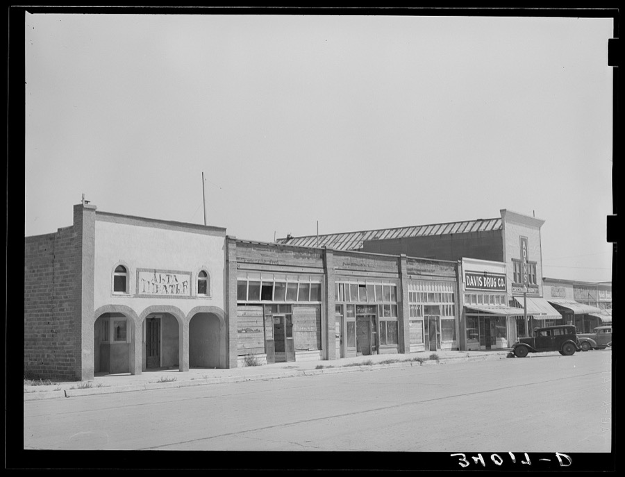
Taken for the Office of War Information and the Farm Security Administration, who photographed the country between 1935 and 1944. Works of United States government photographers, with no known restriction on use. Each opens its catalogue record.
Every property in this county listed on the National Register of Historic Places, with the year it was listed and the federal nomination document.
| Photograph | Property | Type | Listed | Reference |
|---|---|---|---|---|
 | Beaver County Courthouse | building | 1984 | 84002964 |
| Floris Grain Elevator | structure | 1983 | 83004159 | |
 | Gate School | building | 1999 | 99001087 |
| Knowles Grain Elevator | building | 1983 | 83002069 | |
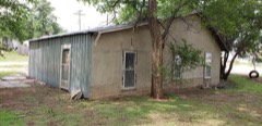 | Lane Cabin | building | 1974 | 74001654 |
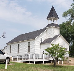 | Presbyterian Church | building | 1974 | 74001655 |
| Turpin Grain Elevator | building | 1983 | 83002071 |
Sampled issues, machine-read from the Library of Congress scan and published page by page, so every headline and column is searchable text.
Beaver, O.T. [Okla.], 1895 to 1923. Machine-read from the Library of Congress scan.
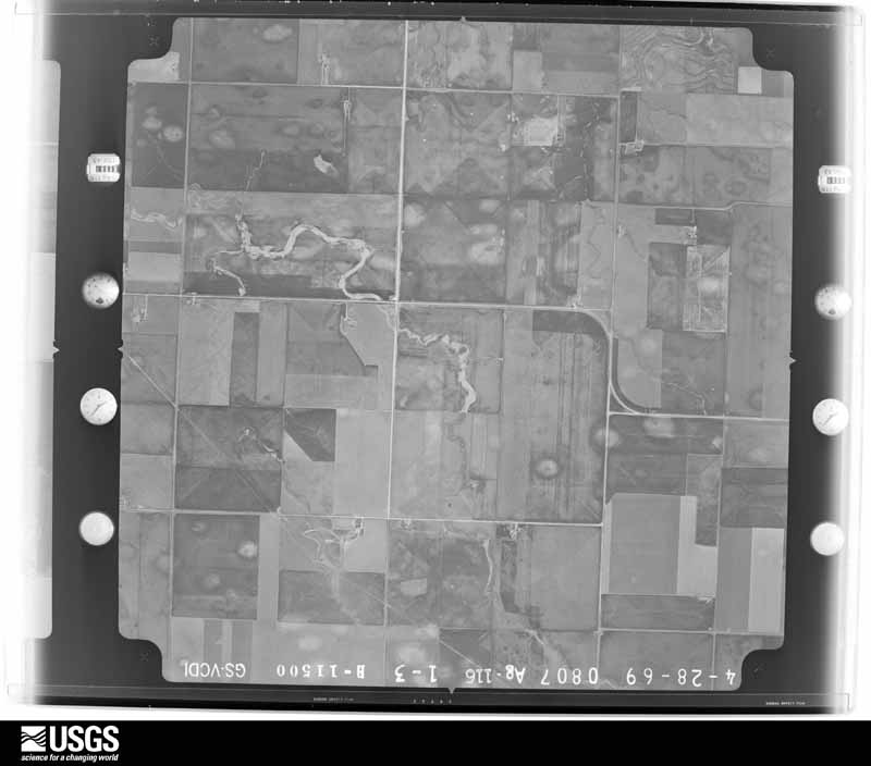
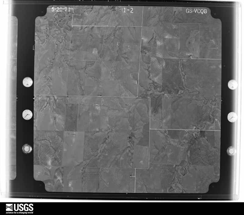
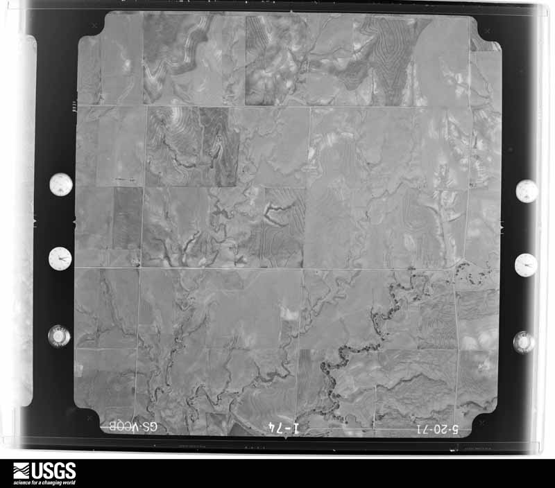
Flown by the U.S. Geological Survey between 1937 and 1989, the Aerial Photo Single Frames collection is the definitive mid-century view of the land: fields, roads and rivers as the camera saw them. The Survey holds 1,321 frames inside the rectangle that bounds this county; the 24 frames below were taken over the county itself, chosen across the decades of flights (at most four a year from that rectangle), so one flight cannot crowd out the rest. The full set is free to browse and download at EarthExplorer under the dataset Aerial Photo Single Frames.








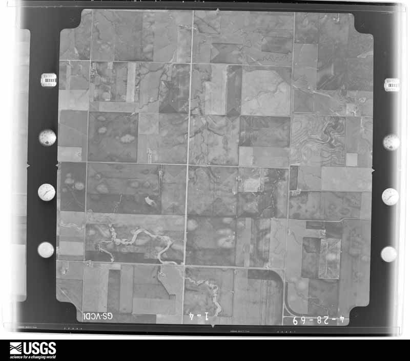
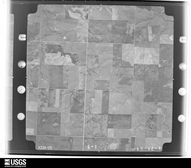
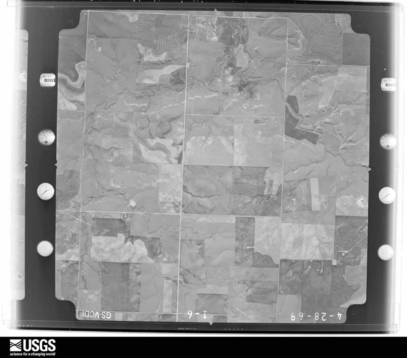




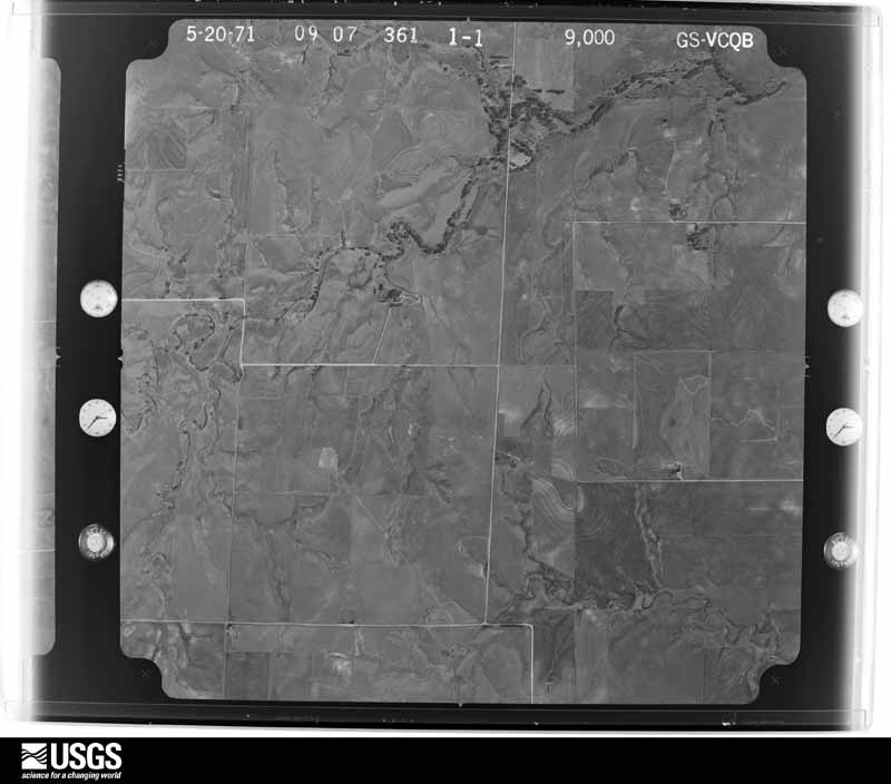





The thermometers that kept this county's weather, and the gages that measured the flow of its streams, as the federal records hold them. The extremes below are measured values from those records, not estimates.
Who lived here in 1950, one enumeration district at a time, as the Census Bureau described each district. Each row opens its official National Archives result, with Population Schedules and ED Maps available there.
Every wildfire the federal occurrence database records inside this county: 15 of them, burning about 705,636 acres. None started naturally and none was recorded as arson. Each settlement page carries the fires within five miles of it.
| Reported cause | Fires |
|---|---|
| Missing data/not specified/undetermined | 11 |
| Power generation/transmission/distribution | 2 |
| Equipment and vehicle use | 2 |
The five largest, by the area the report gives. None of them was recorded as arson.
| Date | Cause | Size | Reported by | Name on the report |
|---|---|---|---|---|
| 7 March 2017 | Missing data/not specified/undetermined | 662,700 acres | Oklahoma Division of Forestry | OKS - STARBUCK |
| 7 March 2020 | Missing data/not specified/undetermined | 29,189 acres | Oklahoma Division of Forestry | 412 FIRE |
| 3 January 2006 | Missing data/not specified/undetermined | 3,000 acres | Texas A & M Forest Service | not named |
| 7 March 2017 | Missing data/not specified/undetermined | 2,962 acres | Oklahoma Division of Forestry | OKS - BEAVER |
| 27 November 2016 | Missing data/not specified/undetermined | 2,500 acres | Oklahoma Division of Forestry | CLEARLAKE 149/22 |
| 10 January 2017 | Missing data/not specified/undetermined | 1,400 acres | Oklahoma Division of Forestry | PERFECT STORM |
| 17 January 2015 | Power generation/transmission/distribution | 1,000 acres | Texas A & M Forest Service | MUTUAL AID SLAPOUT |
| 23 March 2018 | Missing data/not specified/undetermined | 938 acres | Oklahoma Division of Forestry | MIDWAY |
Every settlement page carries the fires within five miles of it - see the settlement index below.
The NOAA Storm Events Database holds 1,025 reports for this county, causing 2 deaths, 15 injuries and about $17,074,320 in recorded property damage. Each settlement page carries the reports that name it.
| Kind of event | Reports |
|---|---|
| Hail | 591 |
| Thunderstorm Wind | 323 |
| Tornado | 75 |
| Flash Flood | 28 |
| Heavy Rain | 4 |
| Funnel Cloud | 3 |
| Flood | 1 |
The most serious of them, by death, then injury, then recorded damage. The accounts are quoted exactly as the forecast office filed them.
| When | Event | Place named | Harm | What the report says |
|---|---|---|---|---|
| March 2007 | Tornado (EF2) | Elmwood | 2 killed, $102,000 | The tornado originated in northern Lipscomb County five miles east of Booker at 1816 CST. The tornado moved northward and entered Beaver County at 1828 CST. Damage occurred on a farmstead about one mile into Beaver County severely damaging several outbuildings and a grain bin. Little or no damage occurred to the home. The tornado continued north...briefly became a large multi vortex tornado...and then consolidated into one large funnel...snapping power poles and large trees. The tornado struck and destroyed a single family home at 1850 CST where two fatalities occurred. It appeared that the couple killed in the tornado did seek refuge in their small bathroom...which was destroyed. In addition to the small home...a storage barn was destroyed and two vehicles were moved as much as twenty yards. A horse trailer was destoyed as it bounced and rolled for approximately fifty yards. The tornado continued moving north for approximately another six or seven miles...damaging only power poles...fences...and trees before it lifted. |
| March 1982 | Tornado (F4) | not stated | 7 hurt, $250,000 | no account filed |
| March 1987 | Tornado (F2) | not stated | 6 hurt, $25,000 | no account filed |
| June 1997 | Tornado (F1) | Turpin | 2 hurt, $150,000 | Six mobile homes and two barns destroyed. Power lines down. The tornado track was estimated. |
| September 1999 | Thunderstorm Wind | Beaver | $8,000,000 | Damage reported to be six and a half million dollars in structural damage and one and a half million dollars in damage to vehicles. Fourteen hundred homes in Beaver were damaged with two homes completely destroyed and twenty-three homes deemed to be unlivable. There were no injuries from the storm. |
| June 2021 | Thunderstorm Wind | Bryans Corner | $1,800,000 | Power company reports 46 power transmission poles taken out or damaged by thunderstorm winds. |
| August 2011 | Thunderstorm Wind | Forgan | $1,500,000 | The Beaver County Emergency Managers Office reported that a total of five hog farms were damaged by the strong thunderstorm wind gusts. Two of the hog farms were significantly damaged with the roofs blown off along with damage to the sides of the buildings. Another hog farm was missing part of the roof while the other two hog farms had lesser damage to their roofs. All five of the hog farms are still standing but there was a lot of debris laying around. There was also a report that numerous trees were blown over by the strong thunderstorm wind gusts. The debris from the hog farms and the tree damage were located on Oklahoma State Highway 23 on the west and east sides of the highway. There were no reports of injuries or fatalities. |
| May 2013 | Thunderstorm Wind | Elmwood | $800,000 | A cluster of thunderstorms developed along a retreating dryline across the north central Texas Panhandle, moved to the northeast, and entered Beaver County. While over the city of Elmwood (Beaver County), the thunderstorms produced a localized downburst that blew 8 power poles down. The Beaver County Emergency Manager relayed a report of the damage to the National Weather Service office in Amarillo (Potter County). The cluster of thunderstorms would continue a northeastern track before dissipating over southern Kansas. |
| June 1994 | Hail | Turpin | $500,000 | no account filed |
| June 1994 | Hail | Turpin | $500,000 | no account filed |
| April 2001 | Tornado (F2) | Balko | $450,000 | An official storm damage survey was made and the tornado path length and width were estimated. Extensive damage to two homes...several barns...farm equipment...power poles...trees and a windmill. |
| March 1995 | Tornado (F1) | Elmwood | $300,000 | An active afternoon for eastern Oklahoma panhandle with hail up to one inch and two tornadoes. The tornado west of Elmwood damaged several pivot irrigation systems and a barn. Damage was estimated at $300,000. |
| April 2001 | Tornado (F1) | Balko | $250,000 | An official storm damage survey was made and the tornado path length and width were estimated. The tornado destroyed at least two barns...some farm equipment...uprooted large trees and snapped power poles. |
| June 2008 | Tornado (EF2) | Bryans Corner | $200,000 | The tornado start and end times were estimated. The tornado touched down at approximately 2000 CST about six miles northwest of Bryans Corner and traveled south southeast across U.S. Highway 412 and Oklahoma State Highway 3. The Emergency Manager reported significant damage on the west side of U.S. Highway 83 and the north and south side of Oklahoma State Highway 3. The tornado knocked down thirty-five power poles and caused extensive damage to a large framed metal barn. The tornado also lifted a twenty-four foot aluminum stock trailer airborne and moved it one hundred yards. The trailer weighed approximately four thousand pounds. A residence also lost the back side and and the east half of their roof and another residence lost an outbuilding. No injuries were reported. The tornado finally dissipated at approximately 2015 CST seven miles south of Bryans Corner. |
| June 2011 | Thunderstorm Wind | Forgan | $152,000 | An official National Weather Service storm survey revealed that thunderstorm wind gusts or a microburst overturned three irrigation pivots and snapped a power pole. The damage was reported to be in a one and a half mile swath between U.S. Highway 64 and Hollow East 0080 Road near U.S. Highway 270. There were no reports of injuries or fatalities. |
| August 2011 | Thunderstorm Wind | Floris | $150,000 | The Beaver County Emergency Managers Office reported that two outbuildings were destroyed, irrigation equipment was overturned, and several trees were knocked down by the thunderstorm wind gusts. There were no reports of injuries or fatalities. |
| April 2001 | Thunderstorm Wind | Elmwood | $100,000 | Damage was reported to a house and a shed was blown away. |
| April 2001 | Tornado (F0) | Elmwood | $100,000 | An official storm damage survey was made and the tornado path length and width were estimated. The tornado did minor damage to a barn and a house with several power poles and trees blown down. |
| May 2001 | Thunderstorm Wind | Gate | $100,000 | A tremendous amount of tree damage and structural damage...including roofs blown off of barns and sheds. Roof damage was reported on several houses and tin walls and roofs blown off of several buildings. |
| May 1995 | Hail | Beaver | $100,000 | Storms produce golf ball-size hail damaging cars and roofs in Beaver. |
| September 1995 | Thunderstorm Wind | Turpin | $100,000 | High winds from thunderstorms blew down three highway signs and the wall of a pavilion at the local park in Guymon. The Oklahoma mesonet recorded a peak wind in Slapout of 64 mph. In Turpin high winds destroyed on mobile home and damaged another and blew down some power lines and fences. |
| May 2003 | Thunderstorm Wind | Bryans Corner | $75,000 | High winds knocked powerlines down and blew cars into a ditch. |
| March 2007 | Tornado (EF2) | Beaver | $58,000 | The tornado began just south of the Bar-B Ranch and moved north damaging much of the ranch property...mainly along the western edge. A large horse trailer and several other utility trailers were destroyed as they bounced and rolled and/or became airborne for significant distances. The horse trailer was displaced more than one hundred and fifty yards from its original location. Several power poles and trees were snapped at the base within the path of the tornado. A large grain silo was toppled with parts of the roof of the silo carried over one hundred yards. No injuries were reported. |
| June 1995 | Hail | Beaver | $50,000 | The Oklahoma Highway Patrol and VORTEX storm chasers reported the hail. Most of the damage occurred to vehicles caught on the road with a few buildings receiving roof damaged as well. |
| July 1996 | Thunderstorm Wind | Turpin | $50,000 | no account filed |
| July 1996 | Thunderstorm Wind | Bryans Corner | $50,000 | no account filed |
| June 1994 | Thunderstorm Wind | Slapout | $50,000 | no account filed |
| June 1994 | Thunderstorm Wind | Slapout | $50,000 | no account filed |
| August 1993 | Thunderstorm Wind | Balko | $50,000 | no account filed |
| September 1993 | Hail | Bryans Corner | $50,000 | no account filed |
| September 1993 | Tornado (F0) | not stated | $50,000 | no account filed |
| July 2025 | Thunderstorm Wind | Logan | $48,000 | A few power poles were knocked down or snapped by the wind. Also, an irrigation pivot was knocked over and multiple large tree branches were also snapped in the area. |
| June 1999 | Thunderstorm Wind | Beaver | $40,000 | Report of roof blown off a building. |
| May 2023 | Thunderstorm Wind | Clear Lake | $34,000 | Wind damaged four power poles along the road. |
| July 2023 | Thunderstorm Wind | Beaver | $30,000 | A metal outbuilding had been destroyed in Beaver. Multiple power lines were downed between Forgan and Beaver. |
| August 2013 | Flash Flood | Beaver | $30,000 | Heavy rain from a squall line led to flash flooding in the town of Beaver (Beaver County). The Beaver County Emergency Manager reported that 4 inches of rain fell in Beaver over a short period of time. This led to flash flooding in town and on U.S. Highway 270 5 miles south of Beaver (Beaver County). Some roads in Beaver had 4 to 6 inches of water covering the road, and that flood waters had gotten into homes, businesses, and the courthouse. Once precipitation ended over this portion of the county, the flooding slowly receded. No swift water rescues or stranded motorist were reported in association to this flash flooding. |
| May 2001 | Thunderstorm Wind | Slapout | $30,000 | no account filed |
| July 2025 | Thunderstorm Wind | Gate | $28,000 | Irrigation pivots were blown over and tree damage occurred in Gate. |
| April 2001 | Thunderstorm Wind | Turpin | $28,000 | Thirty or more power poles were reported blown down. |
| June 2005 | Thunderstorm Wind | Clear Lake | $27,000 | Report of shed torn off its foundation and destroyed. The shed was blown onto a car. The car was not badly damaged but supported the weight of the building. |
| June 2011 | Thunderstorm Wind | Balko | $25,000 | The Beaver County Emergency Mangers Office reported that twenty-five poles were blown down by thunderstorm wind gusts for at least eight miles along U.S. Highway 412. The power poles were snapped off about six to eight feet up. There were no reports of injuries. |
| July 2011 | Thunderstorm Wind | Turpin | $25,000 | The Beaver County Oklahoma Emergency Managers Office reported that there was downburst wind damage from a thunderstorm in the town of Turpin, Oklahoma. There was damage to attached garages which were built onto trailer homes and a church also had a tree uprooted. Several tree limbs had broken off and there were power poles and power lines down. There were no reports of injuries or fatalities. |
| June 1995 | Hail | Elmwood | $25,000 | The Oklahoma Highway Patrol and VORTEX storm chasers reported the hail. Most of the damage occurred to vehicles caught on the road with a few buildings receiving roof damaged as well. |
| July 1996 | Thunderstorm Wind | Beaver | $25,000 | no account filed |
| April 1972 | Tornado (F1) | not stated | $25,000 | no account filed |
| September 1970 | Tornado (F2) | not stated | $25,000 | no account filed |
| May 1967 | Tornado (F1) | not stated | $25,000 | no account filed |
| July 1952 | Tornado (F1) | not stated | $25,000 | no account filed |
| August 2004 | Thunderstorm Wind | Bryans Corner | $24,000 | High winds blew down several power poles...blew in a garage door and blew down a tree on a house. |
| March 2007 | Thunderstorm Wind | Elmwood | $23,000 | House was damaged with power lines down on State Highway 3. |
| August 2008 | Hail | Elmwood | $21,000 | The Beaver County Emergency Manager reported that residents five miles south of Elmwood had their windows broken on the north side of their houses from the hail blowing in the wind. The Emergency Manager also reported that trees were stripped of their leaves...their maize crop was destroyed...and that their cattle had welts from the hailstones. |
| September 2013 | Thunderstorm Wind | Slapout | $20,000 | A discrete thunderstorm moved across the eastern Oklahoma Panhandle during the late night hours of the 27th. As this thunderstorm neared the city of Slapout (Beaver County), the storm produced a downburst which blew trees down and snapped wooden power poles as reported by a member of the public. The thunderstorm continued to move to the northeast after producing this downburst. |
| June 2010 | Thunderstorm Wind | Bryans Corner | $20,000 | The thunderstorm wind gusts had blown part of a roof off a church and the west wall collapsed. A grain elevator was destroyed and a steel windmill and steel reception tower were knocked over. Also...an irrigation pivot was knocked over. The swath of the damage extended from seven miles southwest of Bryans Corner to seven miles northeast of Bryans Corner. No injuries were reported. |
| August 2008 | Thunderstorm Wind | Gate | $20,000 | Thunderstorm wind gusts...estimated between fifty-two knots and sixty-one knots...knocked over an irrigation pivot and also some large tree limbs were blown down. No injuries were reported. The time of occurrence was estimated. |
| July 2008 | Thunderstorm Wind | Turpin | $18,000 | The Beaver County Emergency Manager reported thunderstorm wind damage to a home four miles south on U.S. Highway 83 at the Oklahoma and Kansas state line...and then three miles to the east and then one quarter of a mile to the north. Damage was reported to be on the north and west sides of the home. No injuries were reported. |
| May 2002 | Thunderstorm Wind | Forgan | $15,000 | The high winds tore the roof off of a barn and also knocked down a radio tower. |
| August 2011 | Thunderstorm Wind | Forgan | $12,000 | The Beaver County Emergency Managers Office reported that numerous power poles were blown down in and around Forgan Oklahoma. There were no reports of injuries or fatalities. |
| June 2008 | Thunderstorm Wind | Turpin | $12,000 | The high winds blew down some power lines. |
| July 2023 | Thunderstorm Wind | Beaver | $10,000 | Per the emergency manager a mobile home had sustained some roof damage. |
| December 2022 | Hail | Balko | $10,000 | Ping pong ball to tennis ball size hail occurred. |
The Survey's mineral resources record lists 133 workings inside this county. 24 still produce and 109 are closed or unrecorded. Each settlement page carries the workings within five miles of it.
| Commodity | Workings |
|---|---|
| Sand and Gravel, Construction | 63 |
| Limestone, General | 61 |
| Limestone, General, Sand and Gravel, Construction | 6 |
| Sand and Gravel, Construction, Limestone, General | 2 |
| Pumice | 1 |
The least common of them first, because a county's hundredth gravel pit says nothing its first ten did not.
| Where | Site | Commodity | Status | Recorded |
|---|---|---|---|---|
| Beaver Pit #1 | Pumice | Producer | ||
| Unknown Sand Pit | Sand and Gravel, Construction, Limestone, General | Past Producer | ||
| Unknown Sand Pit | Sand and Gravel, Construction, Limestone, General | Producer | ||
| Unknown Caliche Pit | Limestone, General, Sand and Gravel, Construction | Past Producer | ||
| Unknown Caliche Pit | Limestone, General, Sand and Gravel, Construction | Unknown | ||
| Unknown Caliche Pit | Limestone, General, Sand and Gravel, Construction | Past Producer | ||
| Unknown Sand Pit | Limestone, General, Sand and Gravel, Construction | Past Producer | ||
| Unknown Sand Pit | Limestone, General, Sand and Gravel, Construction | Past Producer | ||
| Unknown Sand Pit | Limestone, General, Sand and Gravel, Construction | Past Producer | ||
| Unknown Caliche Pit | Limestone, General | Past Producer | ||
| Unknown Caliche Pit | Limestone, General | Past Producer | ||
| Unknown Caliche Pit | Limestone, General | Past Producer | ||
| Unknown Caliche Pit | Limestone, General | Unknown | ||
| Unknown Caliche Pit | Limestone, General | Past Producer | ||
| Unknown Caliche Pit | Limestone, General | Producer | ||
| Unknown Caliche Pit | Limestone, General | Past Producer | ||
| Unknown Caliche Pit | Limestone, General | Past Producer | ||
| Unknown Caliche Pit | Limestone, General | Past Producer | ||
| Unknown Caliche Pit | Limestone, General | Past Producer | ||
| Unknown Caliche Pit | Limestone, General | Past Producer | ||
| Unknown Caliche Pit | Limestone, General | Past Producer | ||
| Unknown Caliche Pit | Limestone, General | Past Producer | ||
| Unknown Caliche Pit | Limestone, General | Past Producer | ||
| Unknown Caliche Pit | Limestone, General | Past Producer | ||
| Unknown Caliche Pit | Limestone, General | Producer | ||
| Unknown Caliche Pit | Limestone, General | Past Producer | ||
| Unknown Caliche Pit | Limestone, General | Past Producer | ||
| Unknown Caliche Pit | Limestone, General | Past Producer | ||
| Unknown Caliche Pit | Limestone, General | Past Producer | ||
| Unknown Caliche Pit | Limestone, General | Past Producer | ||
| Unknown Caliche Pit | Limestone, General | Past Producer | ||
| Unknown Caliche Pit | Limestone, General | Past Producer | ||
| Unknown Caliche Pit | Limestone, General | Past Producer | ||
| Unknown Caliche Pit | Limestone, General | Producer | ||
| Unknown Caliche Pit | Limestone, General | Past Producer | ||
| Unknown Caliche Pit | Limestone, General | Past Producer | ||
| Unknown Caliche Pit | Limestone, General | Past Producer | ||
| Unknown Caliche Pit | Limestone, General | Past Producer | ||
| Unknown Caliche Pit | Limestone, General | Past Producer | ||
| Unknown Caliche Pit | Limestone, General | Unknown | ||
| Unknown Caliche Pit | Limestone, General | Past Producer | ||
| Unknown Caliche Pit | Limestone, General | Producer | ||
| Unknown Caliche Pit | Limestone, General | Past Producer | ||
| Unknown Caliche Pit | Limestone, General | Producer | ||
| Unknown Caliche Pit | Limestone, General | Producer | ||
| Unknown Caliche Pit | Limestone, General | Past Producer | ||
| Unknown Caliche Pit | Limestone, General | Past Producer | ||
| Unknown Caliche Pit | Limestone, General | Past Producer | ||
| Unknown Caliche Pit | Limestone, General | Past Producer | ||
| Unknown Caliche Pit | Limestone, General | Past Producer | ||
| Unknown Caliche Pit | Limestone, General | Past Producer | ||
| Unknown Caliche Pit | Limestone, General | Past Producer | ||
| Unknown Caliche Pit | Limestone, General | Past Producer | ||
| Unknown Caliche Pit | Limestone, General | Producer | ||
| Unknown Caliche Pit | Limestone, General | Past Producer | ||
| Unknown Caliche Pit | Limestone, General | Past Producer | ||
| Unknown Caliche Pit | Limestone, General | Past Producer | ||
| Unknown Caliche Pit | Limestone, General | Past Producer | ||
| Unknown Caliche Pit | Limestone, General | Unknown | ||
| Unknown Caliche Pit | Limestone, General | Producer | ||
| Unknown Caliche Pit | Limestone, General | Past Producer | ||
| Unknown Caliche Pit | Limestone, General | Past Producer | ||
| Carlile Asphalt Co | Sand and Gravel, Construction | Producer | ||
| Kirton Pit | Sand and Gravel, Construction | Producer | ||
| Overton Gravel Pit | Sand and Gravel, Construction | Producer | ||
| Unknown Gravel Pit | Sand and Gravel, Construction | Past Producer | ||
| Unknown Gravel Pit | Sand and Gravel, Construction | Producer | ||
| Unknown Gravel Pit | Sand and Gravel, Construction | Producer | ||
| Unknown Gravel Pit | Sand and Gravel, Construction | Past Producer | ||
| Unknown Gravel Pit | Sand and Gravel, Construction | Past Producer | ||
| Unknown Gravel Pit | Sand and Gravel, Construction | Producer | ||
| Unknown Gravel Pit | Sand and Gravel, Construction | Past Producer | ||
| Unknown Gravel Pit | Sand and Gravel, Construction | Past Producer | ||
| Unknown Gravel Pit | Sand and Gravel, Construction | Unknown | ||
| Unknown Gravel Pit | Sand and Gravel, Construction | Past Producer | ||
| Unknown Gravel Pit | Sand and Gravel, Construction | Producer | ||
| Unknown Gravel Pit | Sand and Gravel, Construction | Past Producer | ||
| Unknown Gravel Pit | Sand and Gravel, Construction | Past Producer | ||
| Unknown Gravel Pit | Sand and Gravel, Construction | Past Producer | ||
| Unknown Gravel Pit | Sand and Gravel, Construction | Past Producer | ||
| Unknown Gravel Pit | Sand and Gravel, Construction | Past Producer | ||
| Unknown Gravel Pit | Sand and Gravel, Construction | Unknown | ||
| Unknown Gravel Pit | Sand and Gravel, Construction | Past Producer | ||
| Unknown Gravel Pit | Sand and Gravel, Construction | Past Producer | ||
| Unknown Gravel Pit | Sand and Gravel, Construction | Past Producer | ||
| Unknown Sand Pit | Sand and Gravel, Construction | Producer | ||
| Unknown Sand Pit | Sand and Gravel, Construction | Producer | ||
| Unknown Sand Pit | Sand and Gravel, Construction | Past Producer | ||
| Unknown Sand Pit | Sand and Gravel, Construction | Past Producer | ||
| Unknown Sand Pit | Sand and Gravel, Construction | Past Producer | ||
| Unknown Sand Pit | Sand and Gravel, Construction | Past Producer | ||
| Unknown Sand Pit | Sand and Gravel, Construction | Past Producer | ||
| Unknown Sand Pit | Sand and Gravel, Construction | Past Producer | ||
| Unknown Sand Pit | Sand and Gravel, Construction | Past Producer | ||
| Unknown Sand Pit | Sand and Gravel, Construction | Past Producer | ||
| Unknown Sand Pit | Sand and Gravel, Construction | Past Producer | ||
| Unknown Sand Pit | Sand and Gravel, Construction | Past Producer | ||
| Unknown Sand Pit | Sand and Gravel, Construction | Past Producer | ||
| Unknown Sand Pit | Sand and Gravel, Construction | Past Producer | ||
| Unknown Sand Pit | Sand and Gravel, Construction | Past Producer | ||
| Unknown Sand Pit | Sand and Gravel, Construction | Past Producer | ||
| Unknown Sand Pit | Sand and Gravel, Construction | Past Producer | ||
| Unknown Sand Pit | Sand and Gravel, Construction | Past Producer | ||
| Unknown Sand Pit | Sand and Gravel, Construction | Past Producer | ||
| Unknown Sand Pit | Sand and Gravel, Construction | Unknown | ||
| Unknown Sand Pit | Sand and Gravel, Construction | Past Producer | ||
| Unknown Sand Pit | Sand and Gravel, Construction | Past Producer | ||
| Unknown Sand Pit | Sand and Gravel, Construction | Past Producer | ||
| Unknown Sand Pit | Sand and Gravel, Construction | Past Producer | ||
| Unknown Sand Pit | Sand and Gravel, Construction | Past Producer | ||
| Unknown Sand Pit | Sand and Gravel, Construction | Producer | ||
| Unknown Sand Pit | Sand and Gravel, Construction | Producer | ||
| Unknown Sand Pit | Sand and Gravel, Construction | Past Producer |
Named settlements recorded in the Geographic Names Information System, each with the topographic sheets covering it. Villages, hamlets and abandoned places alike. Each is shown with the nearest named watercourse or landform and the survey quadrangle it falls on. The 2 places that were also surveyed for fire insurance come first, with the number of atlases and photographs held for them.
South Beaver census division · 73932 · On Home Creek · Beaver quadrangle
7 sheets, 1954 to 1986
Fire insurance: 3 atlases
North Beaver census division · 73938 · Forgan quadrangle
7 sheets, 1954 to 1986
Fire insurance: 2 atlases
South Beaver census division · 73931 · Bryans Corner quadrangle
7 sheets, 1954 to 1986
North Beaver census division · 73950 · Little Ponderosa quadrangle
7 sheets, 1954 to 1986
South Beaver census division · 73848 · On Don Jose Creek · Logan quadrangle
7 sheets, 1954 to 1986
7 topographic sheets and 3 fire insurance atlases, 1919 to 1930