 Block
Bryans Corner, Oklahoma
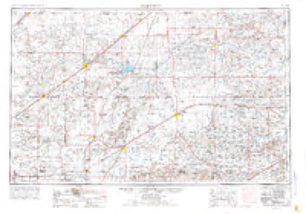
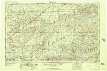
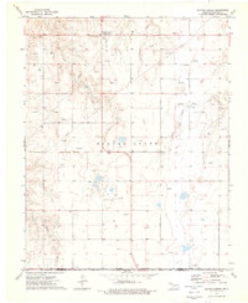
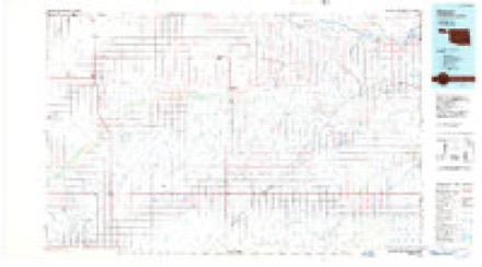
7 topographic sheets cover this place, the earliest surveyed in 1954 and the latest in 1986. It stands in the South Beaver census division. It lies in ZIP code area 73931. The Survey maps it on the Bryans Corner quadrangle.
Topographic sheets covering this place
4 surveys from 7 printed sheetsMatched by testing this settlement's coordinate against the published boundary of every sheet in the United States Geological Survey's historical collection. Each opens the scanned sheet at the Survey.
- 1954 USGS Perryton quadrangle1:250000, 3 printings
- 1958 USGS Perryton quadrangle1:250000
- 1973 USGS Bryans Corner quadrangle1:24000
- 1986 USGS Beaver quadrangle1:100000, 2 printings
Mines and quarries near this place
2 within 5 milesRegional context, not property-specific evidence. The federal mineral resources record lists 2 workings within 5 miles of Bryans Corner: 2 past producers. None of them still produces. What was taken out: Sand and Gravel, Construction. Distance is straight-line from the map coordinates, so a quarry counted here may appear on a neighbouring settlement's page as well.
| Where | Site | Commodity | Status | Recorded |
|---|---|---|---|---|
| Unknown Gravel Pit | Sand and Gravel, Construction | Past Producer | ||
| Unknown Sand Pit | Sand and Gravel, Construction | Past Producer |
Storms near this place
55 since 1993Regional context, not property-specific evidence. The National Weather Service names Bryans Corner in 55 storm reports between 1993 and 2025: 40 hail, 14 thunderstorm wind, 1 tornado. No death or injury is recorded in these reports. Each account below is quoted exactly as the forecast office filed it, from the NOAA Storm Events Database, and each date opens the federal record of that event.
| When | Event | Place named | Harm | What the report says |
|---|---|---|---|---|
| June 2021 | Thunderstorm Wind | Bryans Corner | $1,800,000 | Power company reports 46 power transmission poles taken out or damaged by thunderstorm winds. |
| June 2008 | Tornado (EF2) | Bryans Corner | $200,000 | The tornado start and end times were estimated. The tornado touched down at approximately 2000 CST about six miles northwest of Bryans Corner and traveled south southeast across U.S. Highway 412 and Oklahoma State Highway 3. The Emergency Manager reported significant damage on the west side of U.S. Highway 83 and the north and south side of Oklahoma State Highway 3. The tornado knocked down thirty-five power poles and caused extensive damage to a large framed metal barn. The tornado also lifted a twenty-four foot aluminum stock trailer airborne and moved it one hundred yards. The trailer weighed approximately four thousand pounds. A residence also lost the back side and and the east half of their roof and another residence lost an outbuilding. No injuries were reported. The tornado finally dissipated at approximately 2015 CST seven miles south of Bryans Corner. |
| May 2003 | Thunderstorm Wind | Bryans Corner | $75,000 | High winds knocked powerlines down and blew cars into a ditch. |
| July 1996 | Thunderstorm Wind | Bryans Corner | $50,000 | no account filed |
| September 1993 | Hail | Bryans Corner | $50,000 | no account filed |
| August 2004 | Thunderstorm Wind | Bryans Corner | $24,000 | High winds blew down several power poles...blew in a garage door and blew down a tree on a house. |
| June 2010 | Thunderstorm Wind | Bryans Corner | $20,000 | The thunderstorm wind gusts had blown part of a roof off a church and the west wall collapsed. A grain elevator was destroyed and a steel windmill and steel reception tower were knocked over. Also...an irrigation pivot was knocked over. The swath of the damage extended from seven miles southwest of Bryans Corner to seven miles northeast of Bryans Corner. No injuries were reported. |
| June 2008 | Thunderstorm Wind | Bryans Corner | $9,000 | The Beaver County Emergency Manager reported that power lines were blown down. |
| June 2008 | Thunderstorm Wind | Bryans Corner | $4,000 | The high winds reportedly downed power lines which initiated grass fires. An estimated ten acres burned. |
| May 2021 | Hail | Bryans Corner | - | Accumulating hail was occurring at time of report. |
| May 2018 | Hail | Bryans Corner | - | Report relayed by NWS Norman. |
| May 2017 | Hail | Bryans Corner | - | Baseball size hail reported with damage to windows and vehicles. |
| May 2017 | Thunderstorm Wind | Bryans Corner | - | Powerlines down with power out in the area. Some damage to property due to winds. |
| May 2017 | Hail | Bryans Corner | - | Late report. Estimated at least golf ball size hail based on damage to trees, dents in cars, and house damage. |
| May 2017 | Hail | Bryans Corner | - | Ping pong to Tennis ball size hail. |
| July 2016 | Thunderstorm Wind | Bryans Corner | - | Semi truck blown over on Highway 412 west of Route 23. |
| April 2015 | Hail | Bryans Corner | - | Quarter size hail was reported in Bryans Corner. The hail accumulated to a depth of 2 to 3 inches. |
| June 2013 | Thunderstorm Wind | Bryans Corner | - | A thunderstorm developed over western Beaver County during the evening hours of the 3rd. The thunderstorm would take a east-southeast track across the county as it increased in strength. After producing hail north-northeast of Byran's Corner, this thunderstorm became stationary as it merged with another thunderstorm and intensified. The thunderstorm then began moving to the south-southeast once again, and produced a downburst 1 mile west-southwest of Bryan's Corner (Beaver County). The Beaver County Emergency Manager reported that the downburst blew a telephone pole down. The thunderstorm quickly moved out of the county and into the northeastern Texas Panhandle. |
| April 2005 | Hail | Bryans Corner | - | Hail greater than quarter size all over the ground. |
| April 2025 | Hail | Bryans Corner | - | no account filed |
| November 2020 | Hail | Bryans Corner | - | no account filed |
| May 2019 | Hail | Bryans Corner | - | no account filed |
| May 2019 | Hail | Bryans Corner | - | no account filed |
| May 2018 | Hail | Bryans Corner | - | no account filed |
| May 2018 | Hail | Bryans Corner | - | no account filed |
| May 2017 | Hail | Bryans Corner | - | no account filed |
| May 2017 | Hail | Bryans Corner | - | no account filed |
| April 2012 | Hail | Bryans Corner | - | no account filed |
| July 2009 | Hail | Bryans Corner | - | no account filed |
| June 2008 | Hail | Bryans Corner | - | no account filed |
| June 2008 | Hail | Bryans Corner | - | no account filed |
| June 2008 | Hail | Bryans Corner | - | no account filed |
| June 2008 | Hail | Bryans Corner | - | no account filed |
| June 2008 | Hail | Bryans Corner | - | no account filed |
| June 2008 | Hail | Bryans Corner | - | no account filed |
| June 2008 | Hail | Bryans Corner | - | no account filed |
| June 2008 | Hail | Bryans Corner | - | no account filed |
| June 2008 | Hail | Bryans Corner | - | no account filed |
| June 2008 | Hail | Bryans Corner | - | no account filed |
| June 2008 | Hail | Bryans Corner | - | no account filed |
| June 2006 | Thunderstorm Wind | Bryans Corner | - | no account filed |
| April 2005 | Hail | Bryans Corner | - | no account filed |
| April 2004 | Hail | Bryans Corner | - | no account filed |
| April 2004 | Hail | Bryans Corner | - | no account filed |
| April 2004 | Hail | Bryans Corner | - | no account filed |
| May 2004 | Hail | Bryans Corner | - | no account filed |
| May 2004 | Hail | Bryans Corner | - | no account filed |
| April 2003 | Hail | Bryans Corner | - | no account filed |
| April 2003 | Hail | Bryans Corner | - | no account filed |
| August 2003 | Thunderstorm Wind | Bryans Corner | - | no account filed |
| June 2000 | Thunderstorm Wind | Bryans Corner | - | no account filed |
| June 1999 | Thunderstorm Wind | Bryans Corner | - | no account filed |
| June 1999 | Hail | Bryans Corner | - | no account filed |
| June 1996 | Hail | Bryans Corner | - | no account filed |
| September 1993 | Hail | Bryans Corner | - | no account filed |
Nearest settlements
The eight closest, with where each one stands in the county. Distances are straight-line, computed from the Geographic Names Information System coordinates.
Elsewhere
Matched on this settlement's Geographic Names Information System number rather than its name, so it cannot be a different place of the same name in another state.
| Wikipedia article on Bryans Corner | An encyclopaedic summary. Its text is share-alike, so it is linked here rather than copied. |
| Wikidata item Q4979919 | The structured record the population and elevation above come from. Public domain (CC0). |
Provenance
This settlement is recorded in the Geographic Names Information System as feature 1090591. The sheet list is computed by point-in-boundary test against the United States Geological Survey's historical topographic inventory. Both are works of the United States government and carry no copyright under 17 U.S.C. 105.
Mines and quarries. USGS Mineral Resources Data System (MRDS) https://mrdata.usgs.gov/mrds/ A work of the United States government, no copyright under 17 U.S.C. 105.
Storms. NOAA National Centers for Environmental Information, Storm Events Database https://www.ncei.noaa.gov/stormevents/ A work of the United States government, no copyright under 17 U.S.C. 105. Narratives are quoted verbatim from the National Weather Service report and are not edited or summarised.