 Block
Boyd, Oklahoma
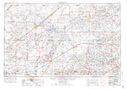
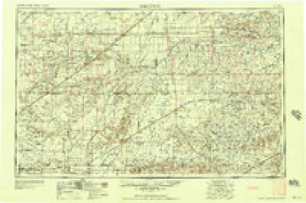
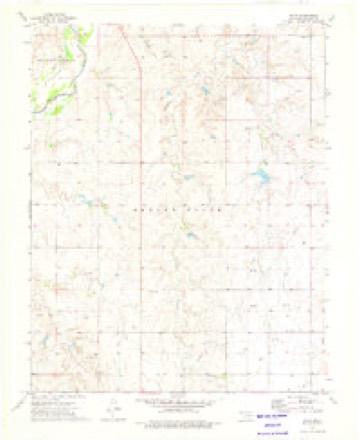
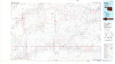
7 topographic sheets cover this place, the earliest surveyed in 1954 and the latest in 1986. It stands in the South Beaver census division. It lies in ZIP code area 73932. The Survey maps it on the Boyd quadrangle.
Topographic sheets covering this place
4 surveys from 7 printed sheetsMatched by testing this settlement's coordinate against the published boundary of every sheet in the United States Geological Survey's historical collection. Each opens the scanned sheet at the Survey.
- 1954 USGS Perryton quadrangle1:250000, 3 printings
- 1958 USGS Perryton quadrangle1:250000
- 1973 USGS Boyd quadrangle1:24000
- 1986 USGS Beaver quadrangle1:100000, 2 printings
Mines and quarries near this place
10 of 12 shownRegional context, not property-specific evidence. The federal mineral resources record lists 12 workings within 5 miles of Boyd: 7 past producers, 5 producers. 5 still produce. What was taken out: Sand and Gravel, Construction. Distance is straight-line from the map coordinates, so a quarry counted here may appear on a neighbouring settlement's page as well.
| Where | Site | Commodity | Status | Recorded |
|---|---|---|---|---|
| Carlile Asphalt Co | Sand and Gravel, Construction | Producer | ||
| Kirton Pit | Sand and Gravel, Construction | Producer | ||
| Unknown Gravel Pit | Sand and Gravel, Construction | Past Producer | ||
| Unknown Gravel Pit | Sand and Gravel, Construction | Past Producer | ||
| Unknown Gravel Pit | Sand and Gravel, Construction | Producer | ||
| Unknown Gravel Pit | Sand and Gravel, Construction | Producer | ||
| Unknown Gravel Pit | Sand and Gravel, Construction | Producer | ||
| Unknown Gravel Pit | Sand and Gravel, Construction | Past Producer | ||
| Unknown Sand Pit | Sand and Gravel, Construction | Past Producer | ||
| Unknown Sand Pit | Sand and Gravel, Construction | Past Producer |
Storms near this place
17 since 2007Regional context, not property-specific evidence. The National Weather Service names Boyd in 17 storm reports between 2007 and 2023: 12 hail, 2 tornado, 2 flash flood, 1 heavy rain. No death or injury is recorded in these reports. Each account below is quoted exactly as the forecast office filed it, from the NOAA Storm Events Database, and each date opens the federal record of that event.
| When | Event | Place named | Harm | What the report says |
|---|---|---|---|---|
| June 2023 | Tornado (EFU) | Boyd | - | This tornado developed in an open field and caused no known damage. It was documented by a few storm spotters in the area. |
| June 2014 | Flash Flood | Boyd | - | A line of intense rain producing thunderstorms moved over Beaver County during the evening hours of the 6th. This rain led to flash flooding on US Highway 83 near the Beaver River Bridge (Beaver County). The highway was closed for a few hours before reopening as the thunderstorms moved into western Oklahoma. |
| July 2013 | Hail | Boyd | - | A discrete thunderstorm developed over southwestern Kansas during the early evening hours of the 31st. This storm took a south-southeast track which brought it into the eastern Oklahoma Panhandle. While the storm was 2 miles northwest of the city of Boyds (Beaver County), the Beaver County Emergency Manager reported quarter size hail (1.00 inch). The storm that produced this hail continued moving to the south-southeast and entered the northern Texas Panhandle shortly before 10 PM CST. |
| June 2013 | Hail | Boyd | - | A thunderstorm developed over western Beaver County during the evening hours of the 3rd. The thunderstorm would take a east-southeast track across the county as it increased in strength. The Beaver County Emergency Manager reported quarter (1 inch) size hail with this storm 4 miles north-northeast of Bryan's Corner (Beaver County). After producing this hail, this thunderstorm became stationary as it merged with another thunderstorm and intensified. |
| August 2013 | Flash Flood | Boyd | - | Heavy rain from a squall line led to flash flooding over the western portion of Beaver County. The Beaver County Emergency Manager reported that flash flooding was covering U.S. Highway 83 13 miles south of Turpin (Beaver County). Once precipitation ended over this portion of the county, the flooding quickly receded. No swift water rescues or stranded motorist were reported in association to this flash flooding. |
| July 2013 | Heavy Rain | Boyd | - | Discrete thunderstorms developed over southwestern Kansas and moved into the eastern Oklahoma Panhandle during the evening hours of the 31st. These thunderstorms brought periods of heavy rain which lead to minor flooding near the city of Boyd (Beaver County). The Beaver County Emergency Manager reported that some water was reported on Highway 83 but was not enough to stop traffic. The Oklahoma Department of Transportation did place signs on the highway to warn of possible water on the road. By 9 PM CST the flood waters had receded as the thunderstorms moved well south of this area. |
| June 2011 | Tornado (EF0) | Boyd | - | An official National Weather Service storm survey determined that the tornado briefly touched down near the intersection of U.S. Highway 83 and North 1228 Road about five miles north of Boyd Oklahoma in Beaver County around 1850 CST. The tornado dissipated around 1852 CST. There was no damage found from this tornado and the maximum estimated wind speeds were around fifty-six knots. The path length was approximately one tenth of a mile and the path width was estimated to be twenty-five yards. There were no injuries or fatalities reported. |
| May 2023 | Hail | Boyd | - | no account filed |
| May 2023 | Hail | Boyd | - | no account filed |
| May 2023 | Hail | Boyd | - | no account filed |
| May 2023 | Hail | Boyd | - | no account filed |
| May 2023 | Hail | Boyd | - | no account filed |
| August 2021 | Hail | Boyd | - | no account filed |
| May 2018 | Hail | Boyd | - | no account filed |
| May 2017 | Hail | Boyd | - | no account filed |
| June 2010 | Hail | Boyd | - | no account filed |
| June 2007 | Hail | Boyd | - | no account filed |
Nearest settlements
The eight closest, with where each one stands in the county. Distances are straight-line, computed from the Geographic Names Information System coordinates.
| Map | Place | Distance | Sheets |
|---|---|---|---|
| Bryans Corner | 6.0 miles | 7 | |
| Balko | 9.1 miles | 7 | |
| Gray | 10.0 miles | 7 | |
| Turpin | 11.6 miles | 7 | |
| Floris | 13.0 miles | 7 | |
| Elmwood | 17.3 miles | 7 | |
| Little Ponderosa | 17.7 miles | 7 | |
| Beaver | 18.1 miles | 7 |
Provenance
This settlement is recorded in the Geographic Names Information System as feature 1100230. The sheet list is computed by point-in-boundary test against the United States Geological Survey's historical topographic inventory. Both are works of the United States government and carry no copyright under 17 U.S.C. 105.
Mines and quarries. USGS Mineral Resources Data System (MRDS) https://mrdata.usgs.gov/mrds/ A work of the United States government, no copyright under 17 U.S.C. 105.
Storms. NOAA National Centers for Environmental Information, Storm Events Database https://www.ncei.noaa.gov/stormevents/ A work of the United States government, no copyright under 17 U.S.C. 105. Narratives are quoted verbatim from the National Weather Service report and are not edited or summarised.