 Block
From the record
19 National Register listings published here.
Sources: the National Register database, National Park Service
72 topographic sheets and 19 fire insurance atlases across 2 places.
19 National Register listings published here.
Sources: the National Register database, National Park Service
Taken for the Office of War Information and the Farm Security Administration, who photographed the country between 1935 and 1944. Works of United States government photographers, with no known restriction on use. Each opens its catalogue record.


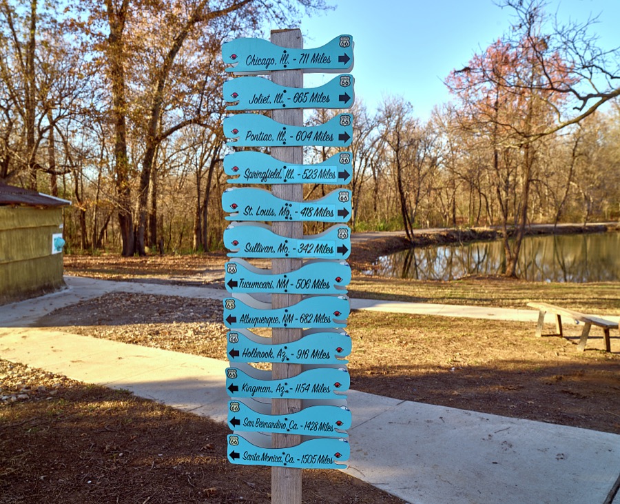
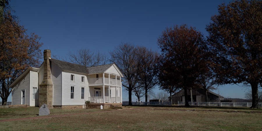

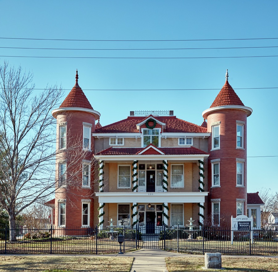


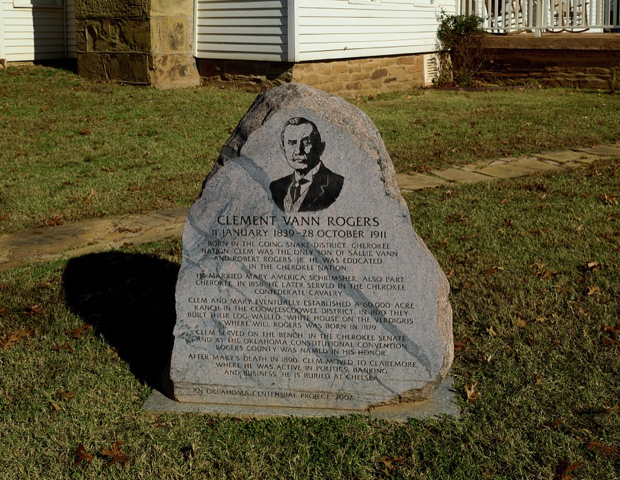



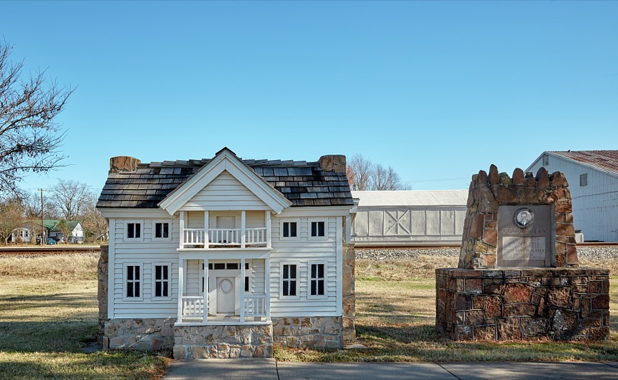
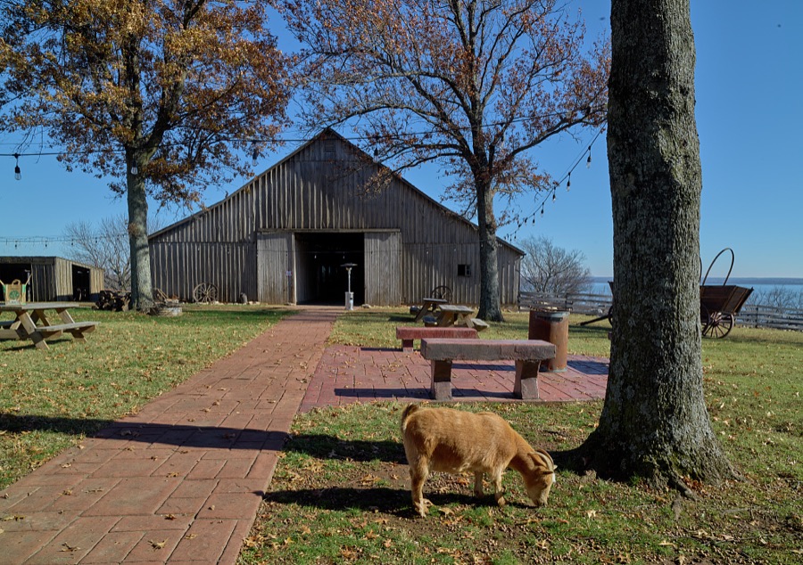
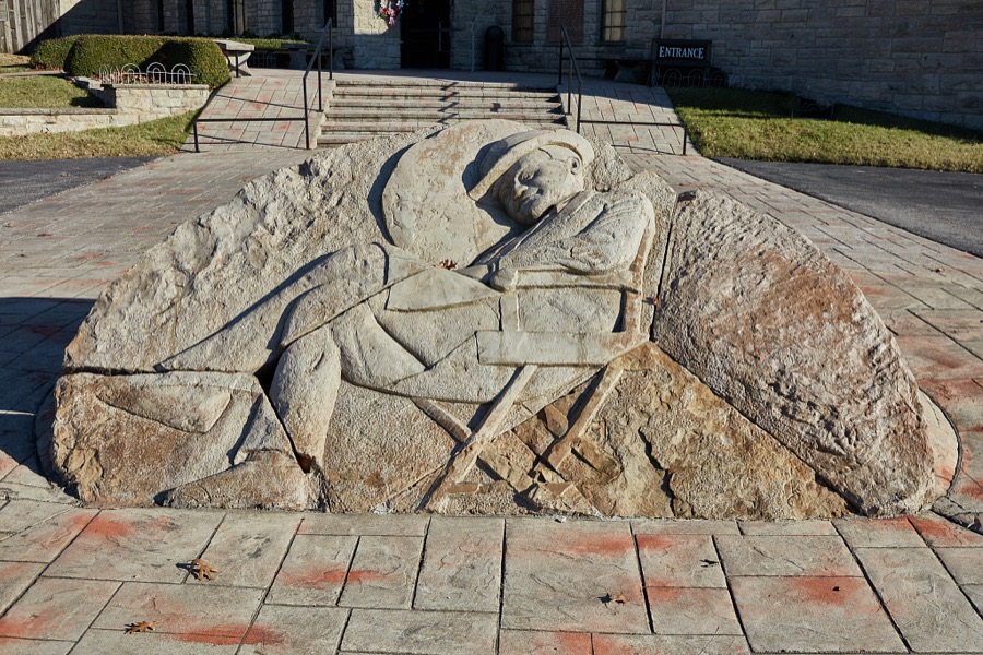




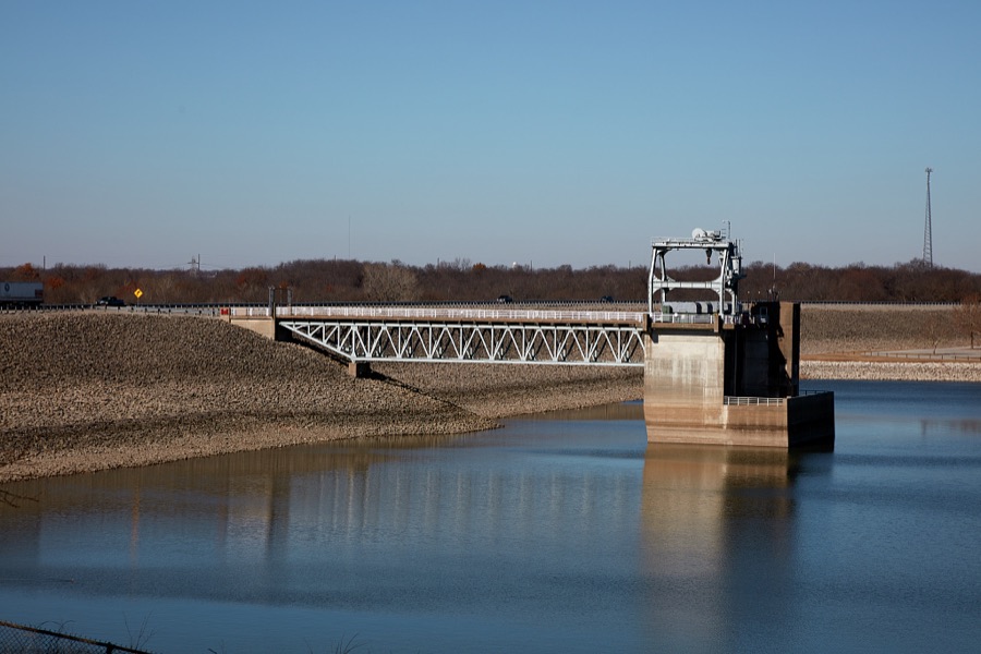


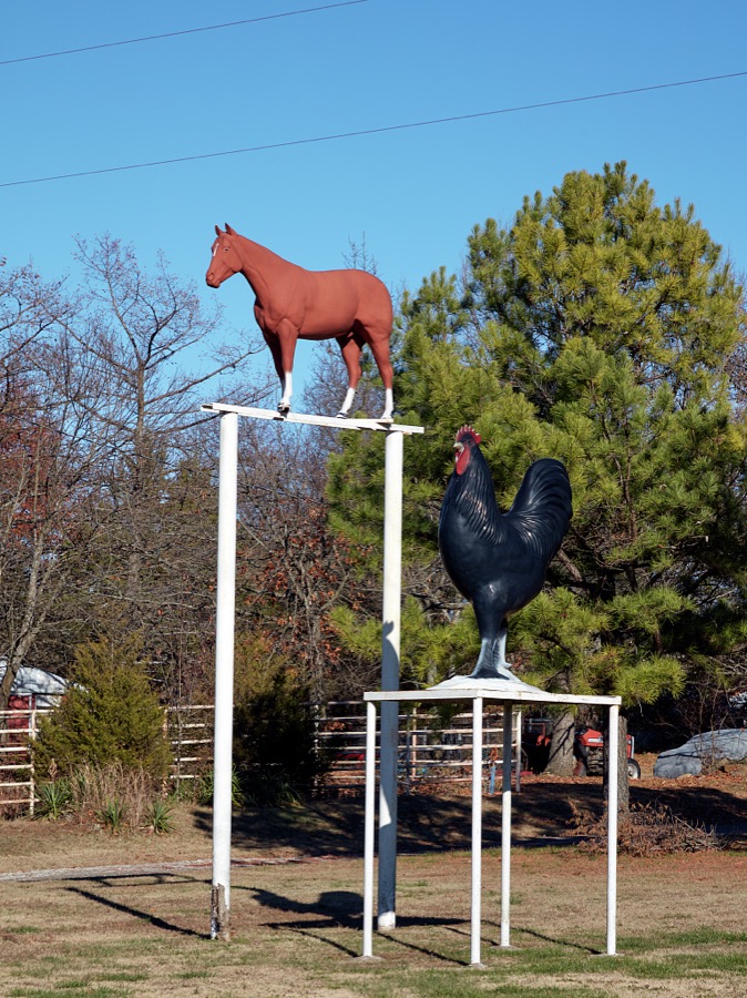


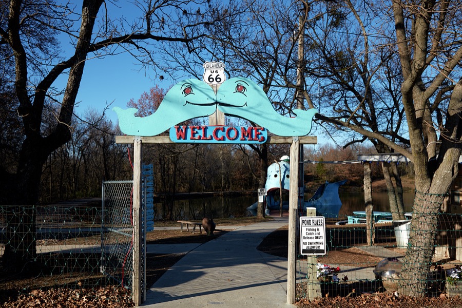

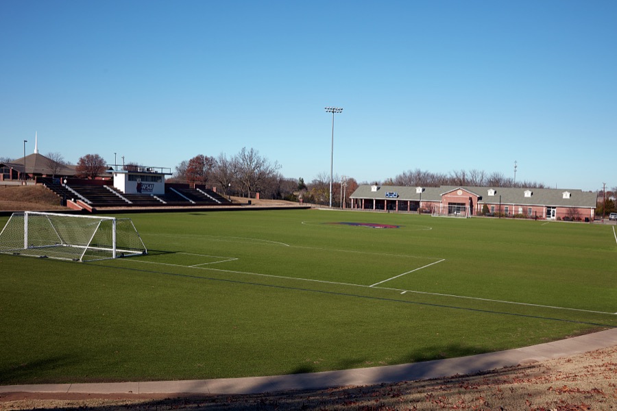
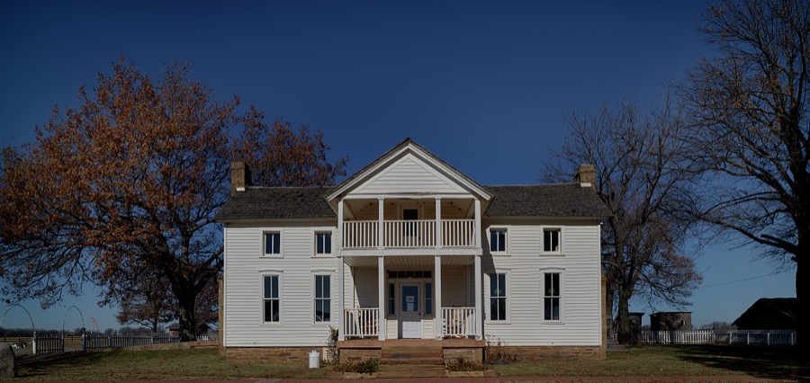
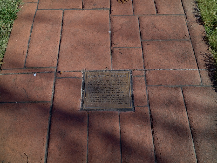

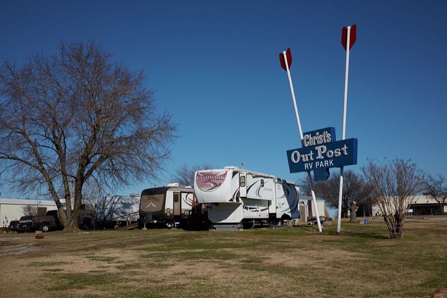
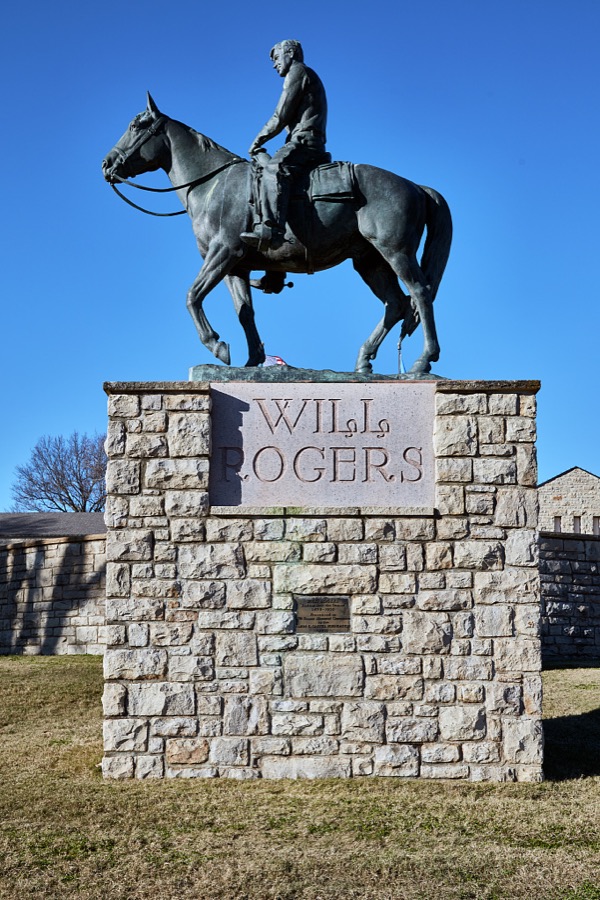


Every property in this county listed on the National Register of Historic Places, with the year it was listed and the federal nomination document.
| Photograph | Property | Type | Listed | Reference |
|---|---|---|---|---|
 | Beck, I.W.W., Building | building | 1999 | 99001086 |
 | Belvidere, The | building | 1982 | 82003696 |
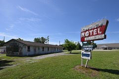 | Chelsea Motel | building | 2004 | 04000525 |
 | Claremore Auto Dealership | building | 1995 | 95000042 |
| Downtown Claremore Historic District | district | 2016 | 16000623 | |
| Eastern University Preparatory School | building | 1982 | 82003697 | |
 | Ed Galloway's Totem Pole Park | district | 1999 | 99000354 |
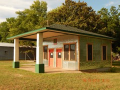 | Foyil Filling Station | building | 2015 | 15000875 |
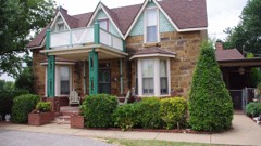 | Hanes Home | building | 1982 | 82003700 |
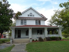 | Hogue House | building | 1982 | 82001498 |
| Mendenhall's Bath House | building | 1983 | 83002127 | |
 | Maurice Meyer Barracks | building | 1982 | 82003698 |
 | Oologah Bank | building | 1982 | 82003699 |
 | Oologah Pump | site | 1982 | 82001499 |
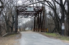 | Pryor Creek Bridge | structure | 2006 | 06000796 |
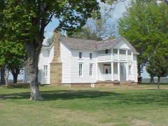 | Will Rogers Birthplace | building | 1970 | 70000538 |
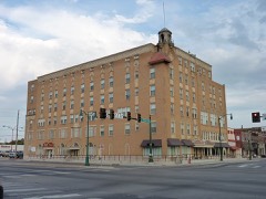 | Will Rogers Hotel | building | 1994 | 94001508 |
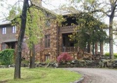 | Verdigris Club Lodge | building | 2003 | 03000876 |
| Will Rogers Memorial Library | building | 2023 | 100009400 |
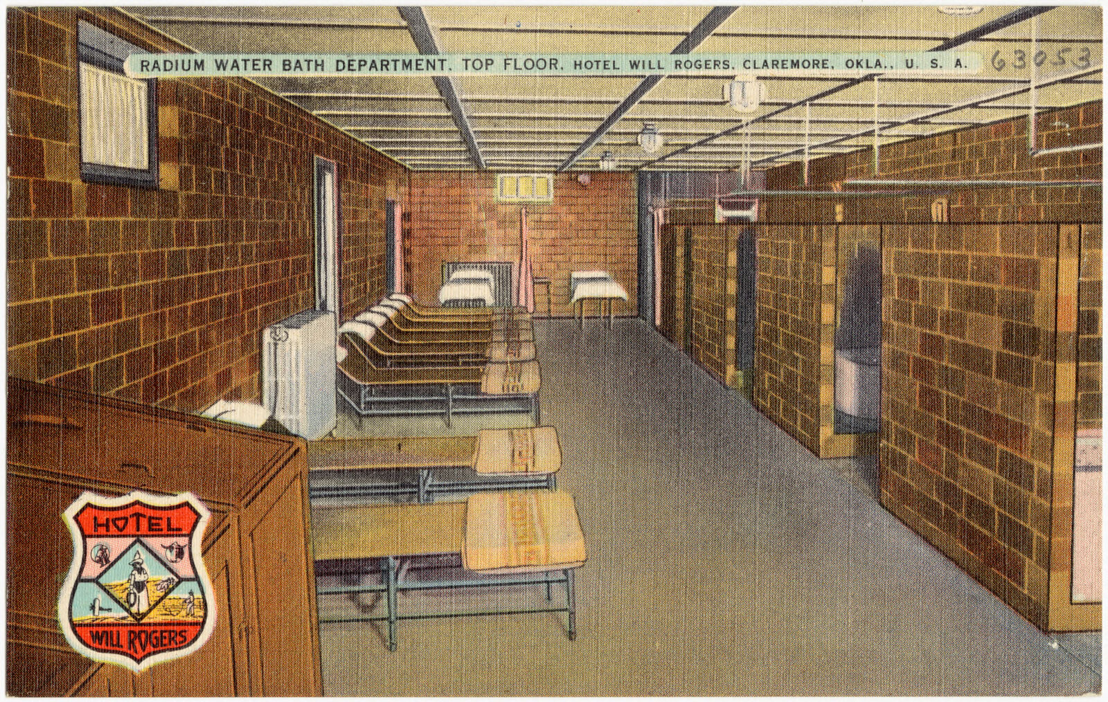
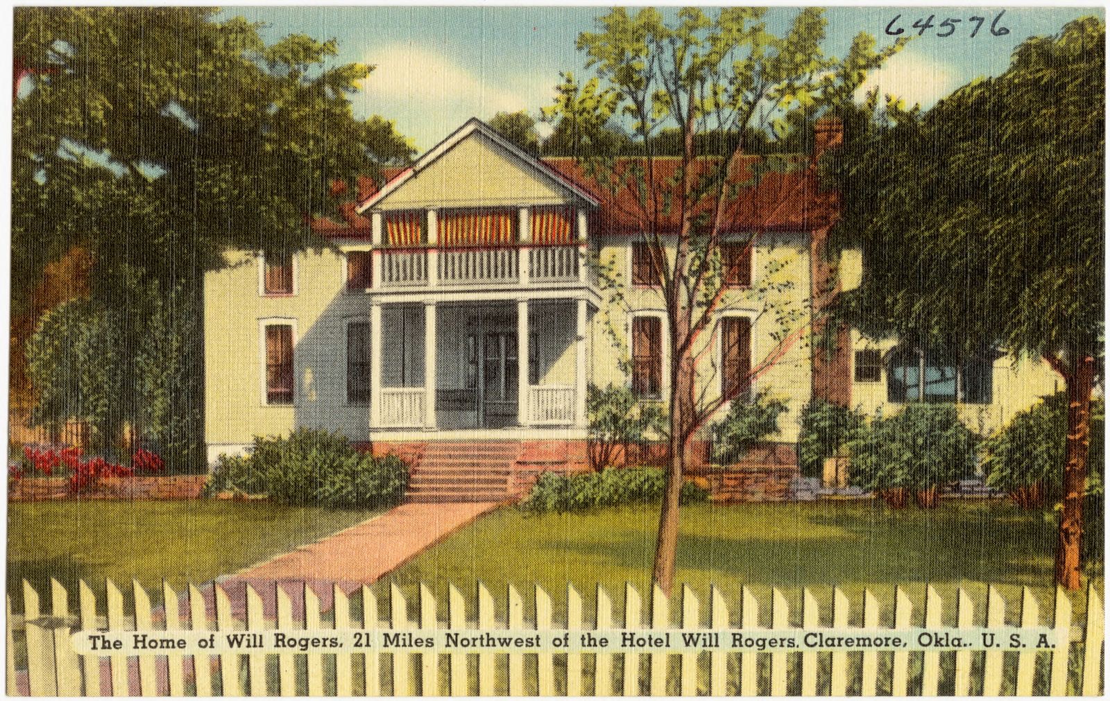
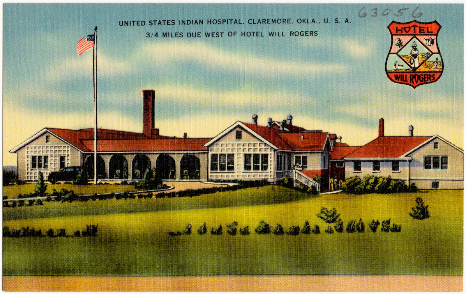
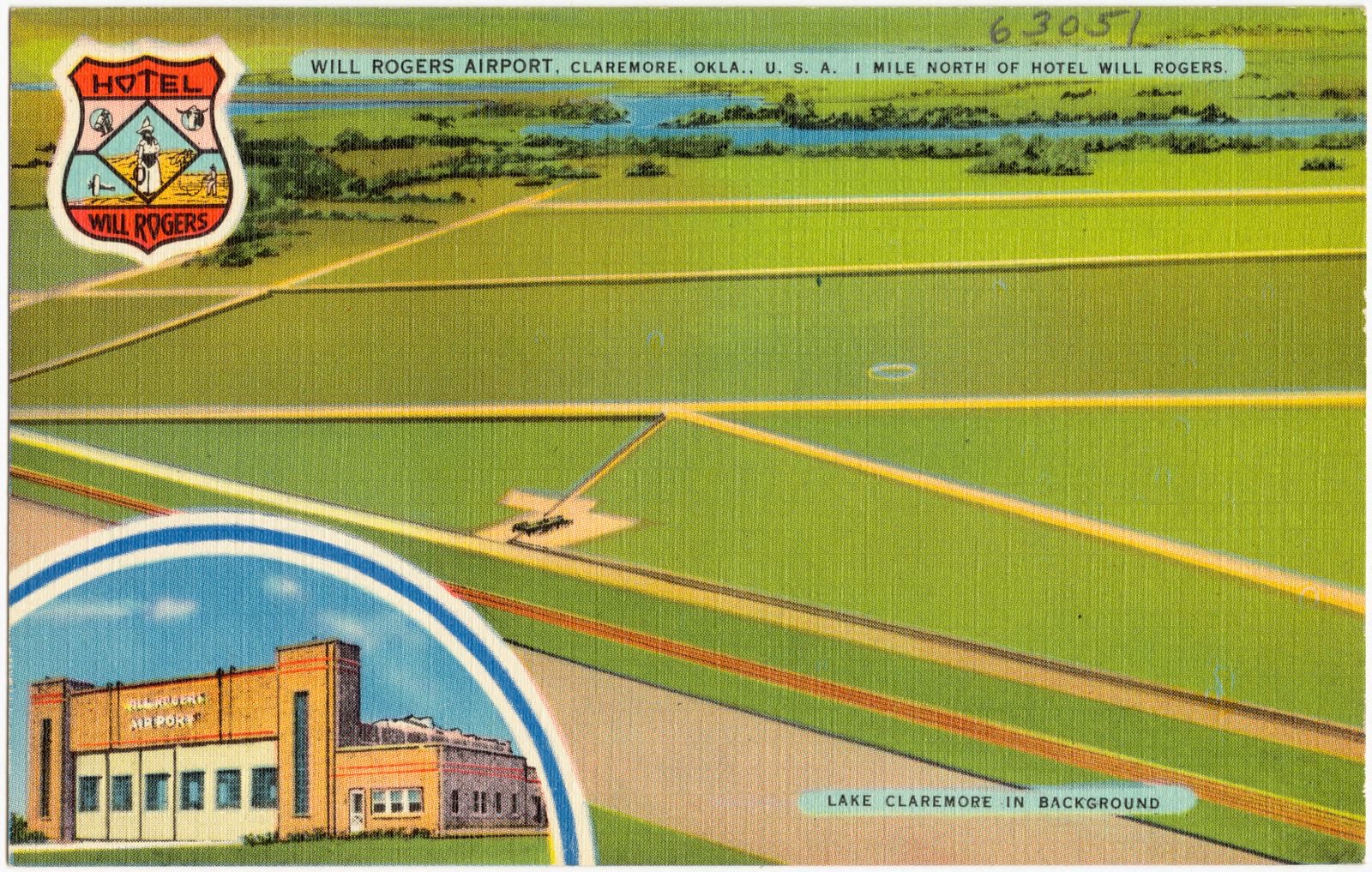
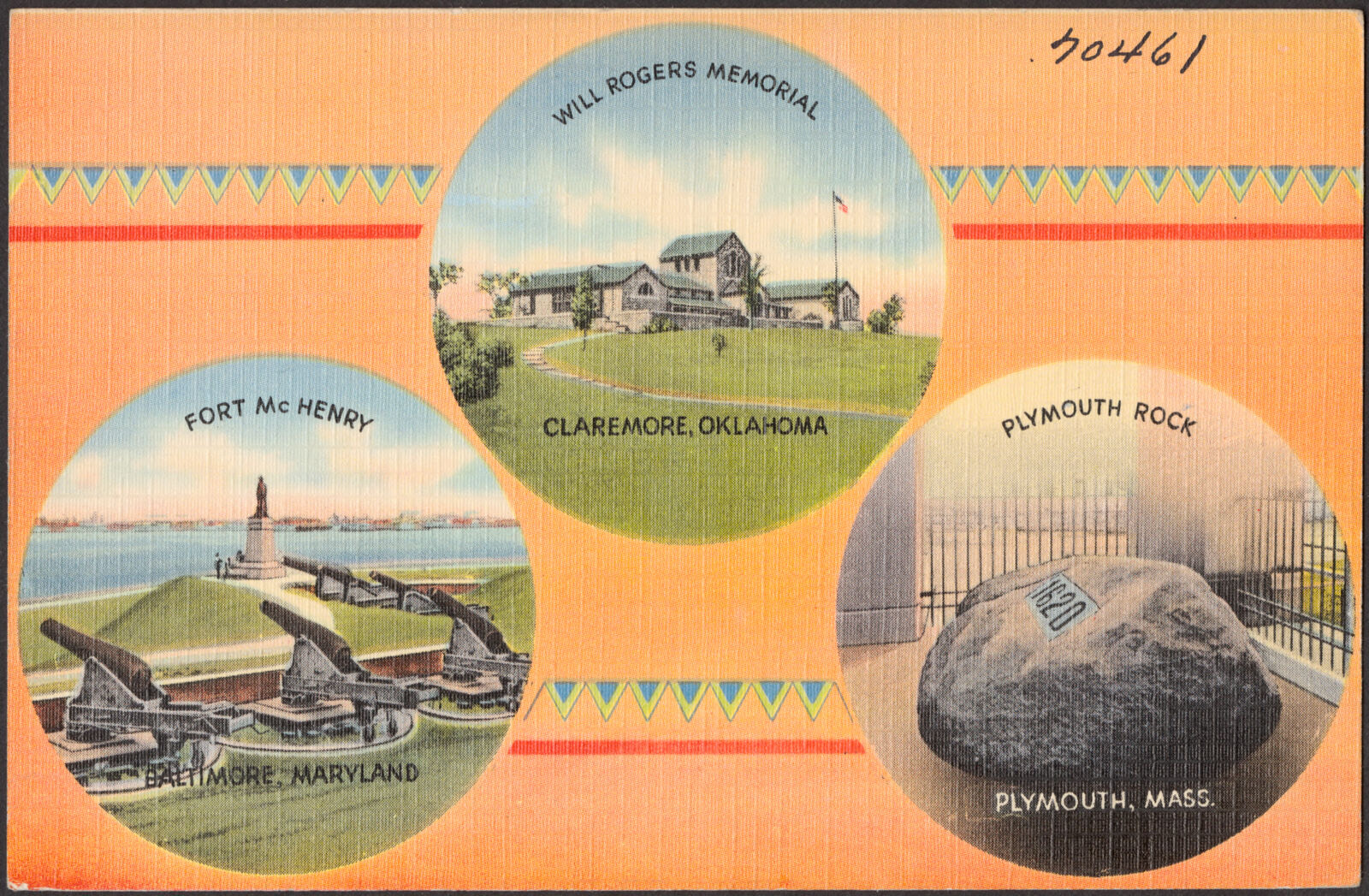
Selected from the Digital Public Library of America's 11 image records catalogued for this county. Every one shown here carries a public-domain status or a licence that permits reuse on a site that carries advertising; non-commercial, share-alike and restricted images are excluded. The selection is spread across the county's towns (at most eight per town), so no single institution's bulk upload crowds out the rest. Each opens the holding library's record, and the complete set at the Digital Public Library of America is one click away.

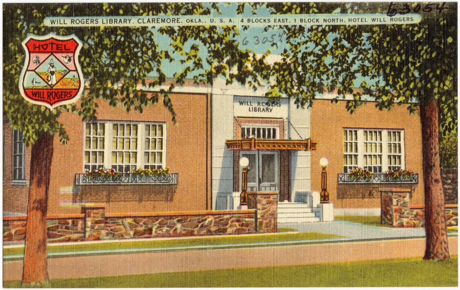
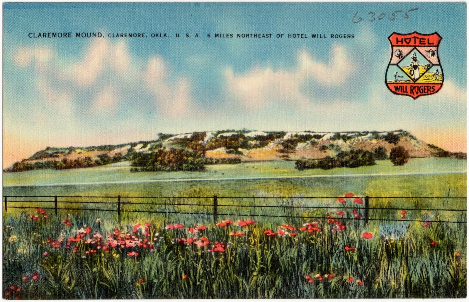

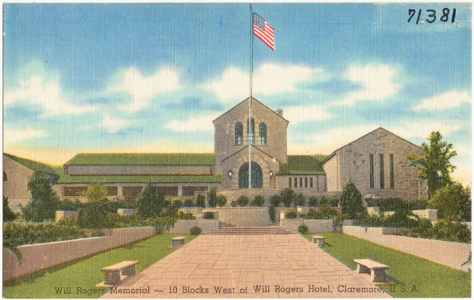
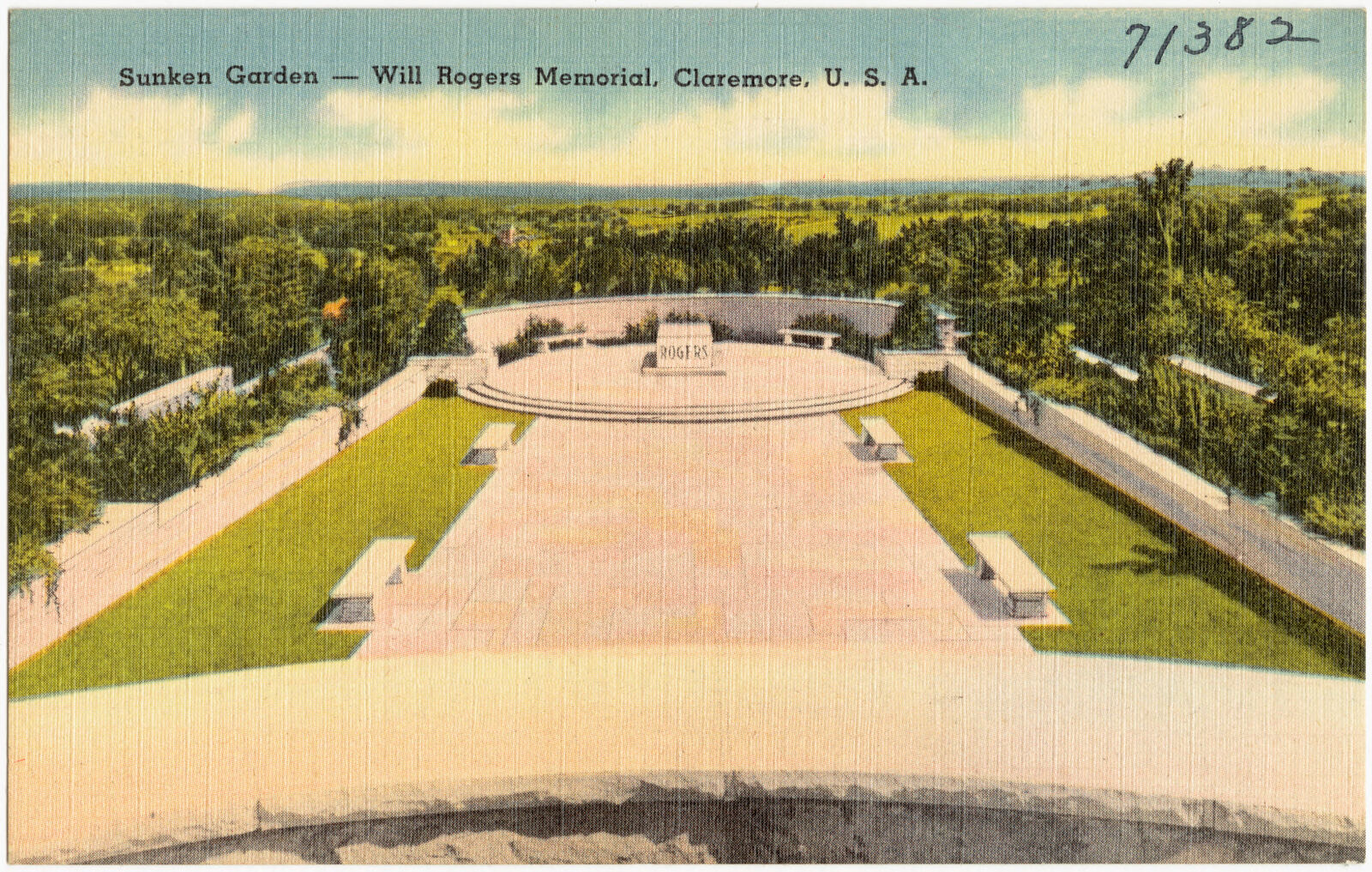
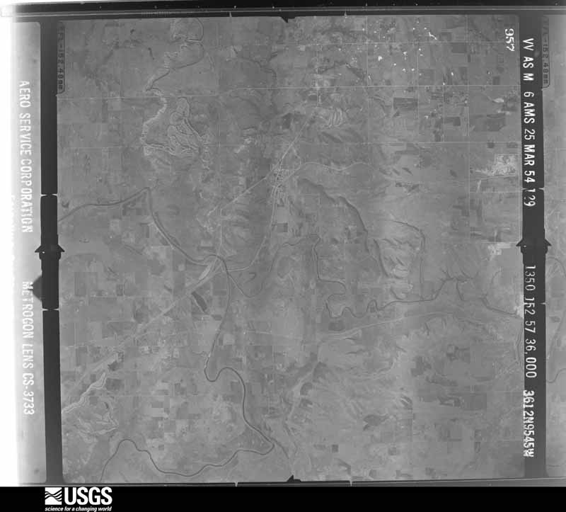
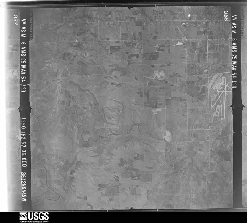
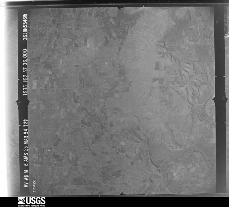
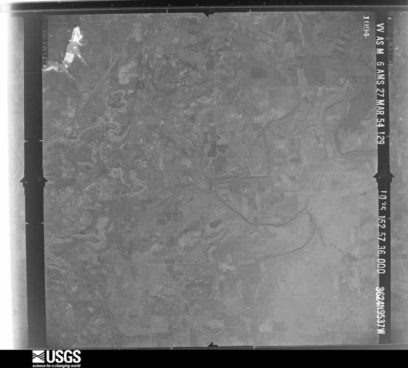
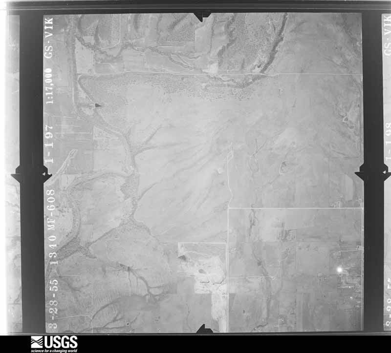
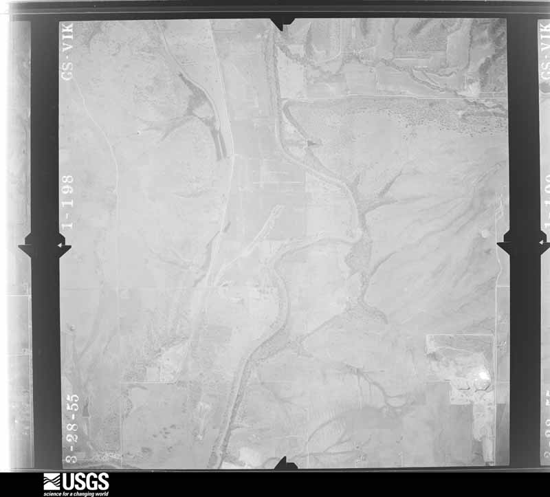
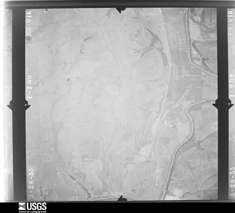
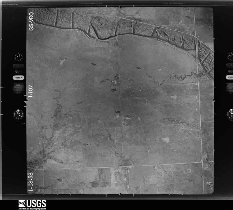
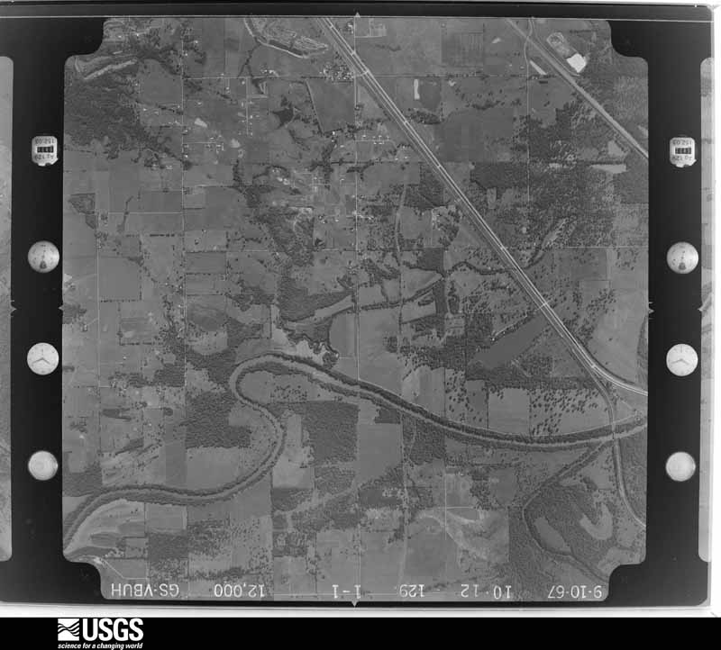
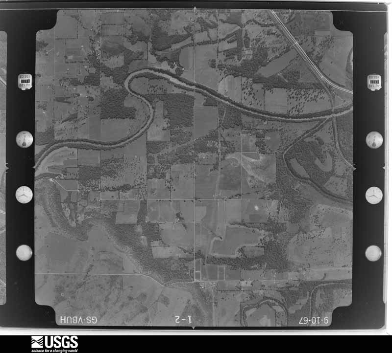
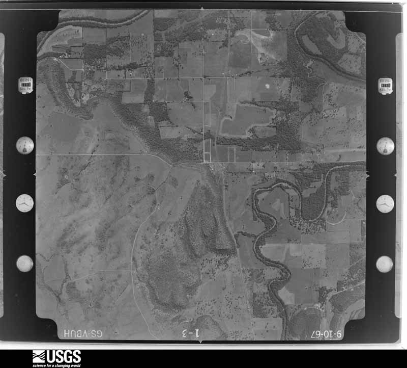
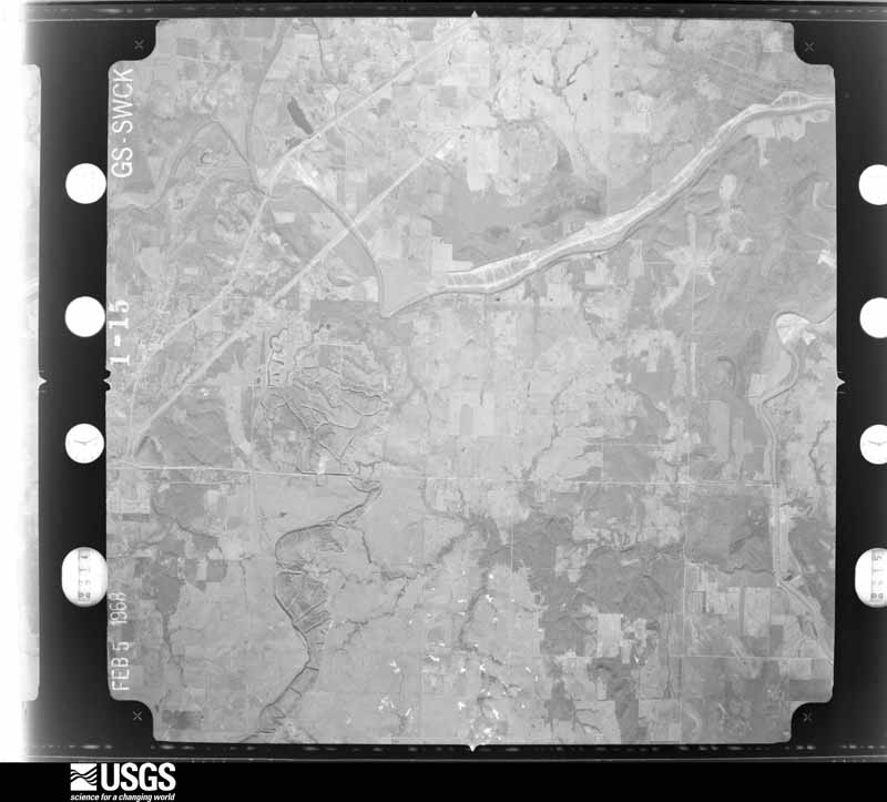
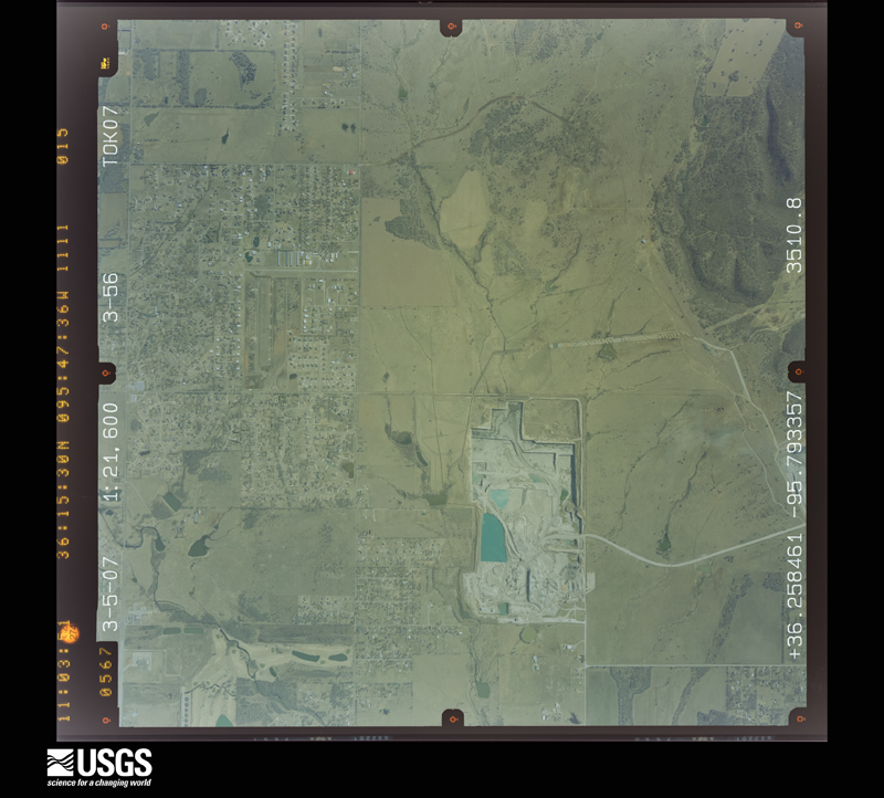
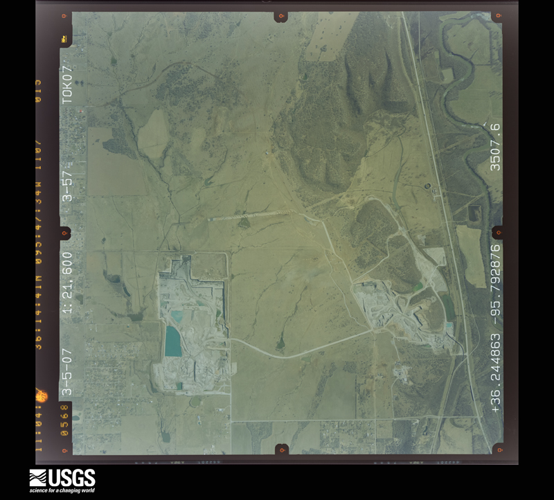
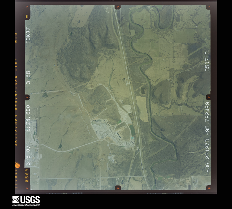
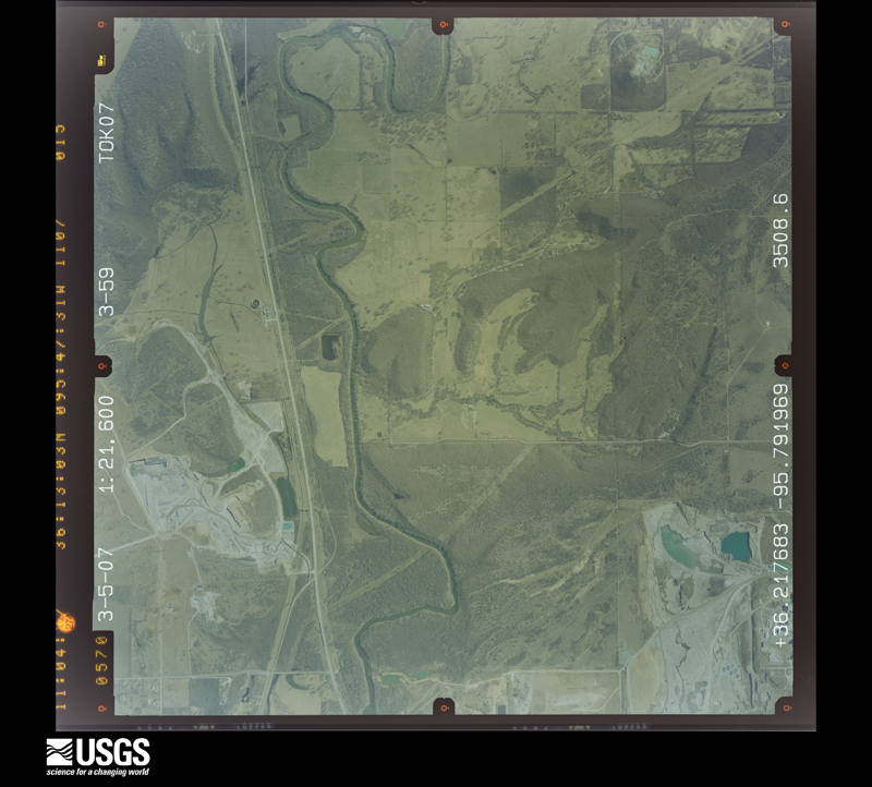
Flown by the U.S. Geological Survey between 1937 and 1989, the Aerial Photo Single Frames collection is the definitive mid-century view of the land: fields, roads and rivers as the camera saw them. The Survey holds 993 frames inside the rectangle that bounds this county; the 28 frames below were taken over the county itself, chosen across the decades of flights (at most four a year from that rectangle), so one flight cannot crowd out the rest. The full set is free to browse and download at EarthExplorer under the dataset Aerial Photo Single Frames.
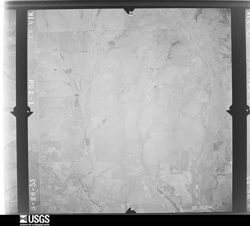
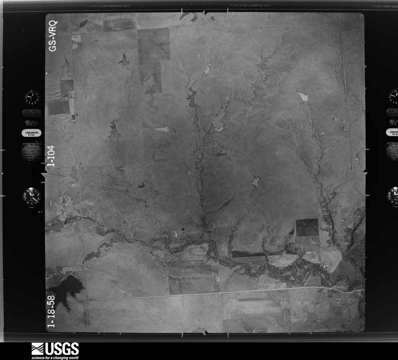
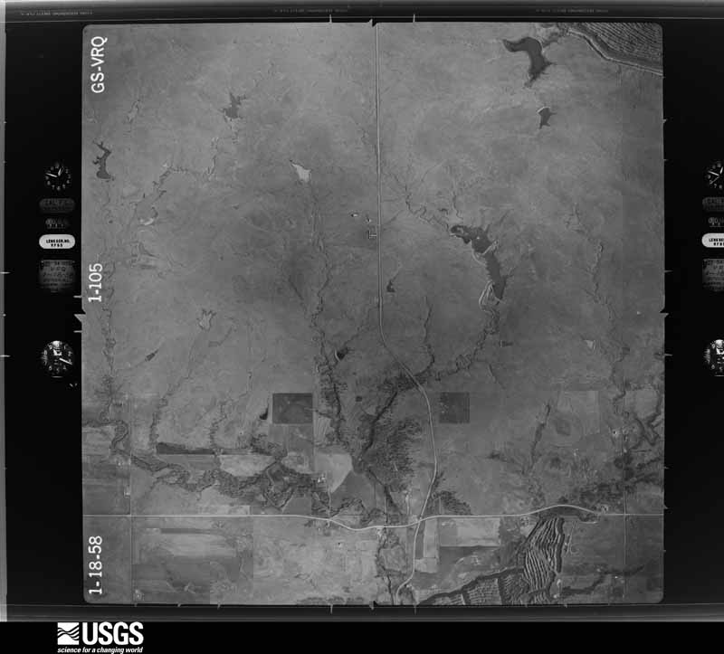
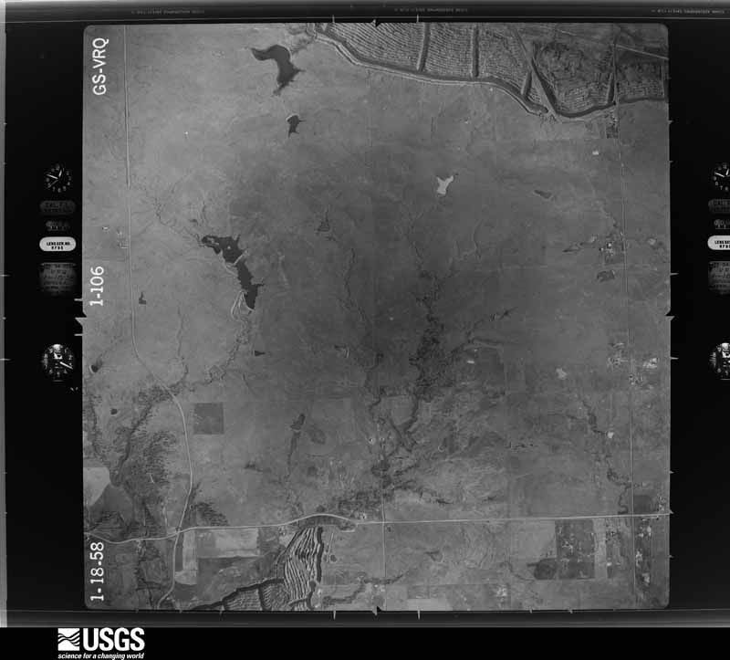
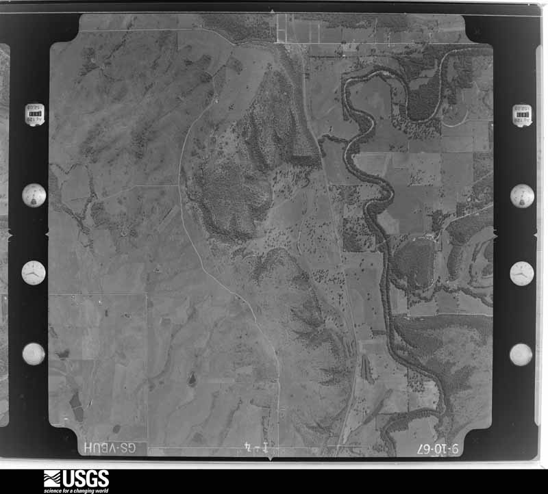
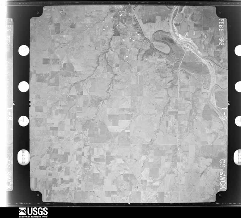
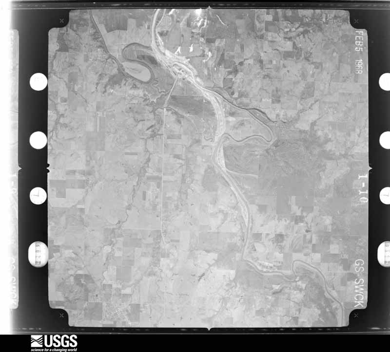
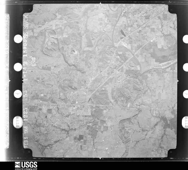




The thermometers that kept this county's weather, and the gages that measured the flow of its streams, as the federal records hold them. The extremes below are measured values from those records, not estimates.
Who lived here in 1950, one enumeration district at a time, as the Census Bureau described each district. Each row opens its official National Archives result, with Population Schedules and ED Maps available there.
Every wildfire the federal occurrence database records inside this county: 9 of them, burning about 3,274 acres. 1 started naturally and 3 were recorded as arson. Each settlement page carries the fires within five miles of it.
| Reported cause | Fires |
|---|---|
| Missing data/not specified/undetermined | 4 |
| Arson/incendiarism | 3 |
| Debris and open burning | 1 |
| Natural | 1 |
The five largest, by the area the report gives. Two of them were set deliberately.
| Date | Cause | Size | Reported by | Name on the report |
|---|---|---|---|---|
| 30 September 2000 | Missing data/not specified/undetermined | 1,600 acres | Oklahoma Division of Forestry | TALALA |
| 16 February 2017 | Missing data/not specified/undetermined | 638 acres | Oklahoma Division of Forestry | 360 FIRE |
| 19 December 2010 | Natural | 610 acres | Cherokee Nation Tribe | CHELSEA |
| 19 October 2000 | Missing data/not specified/undetermined | 250 acres | Oklahoma Division of Forestry | LIMESTONE |
| 20 March 2017 | Missing data/not specified/undetermined | 150 acres | Oklahoma Division of Forestry | CATTLEE |
| 8 January 2020 | Arson/incendiarism | 15 acres | Oklahoma Division of Forestry | not named |
| 1 April 2010 | Arson/incendiarism | 5.0 acres | Oklahoma Division of Forestry | 30240 |
| 6 January 2011 | Debris and open burning | 3.0 acres | Cherokee Nation Tribe | BRIER PATCH |
Every settlement page carries the fires within five miles of it - see the settlement index below.
The NOAA Storm Events Database holds 938 reports for this county, causing 2 deaths, 109 injuries and about $82,915,560 in recorded property damage. Each settlement page carries the reports that name it.
| Kind of event | Reports |
|---|---|
| Thunderstorm Wind | 404 |
| Hail | 363 |
| Tornado | 83 |
| Flash Flood | 78 |
| Lightning | 4 |
| Flood | 4 |
| Funnel Cloud | 1 |
| Heavy Rain | 1 |
The most serious of them, by death, then injury, then recorded damage. The accounts are quoted exactly as the forecast office filed them.
| When | Event | Place named | Harm | What the report says |
|---|---|---|---|---|
| May 2015 | Flash Flood | Claremore | 1 killed | Firefighter drowns performing water rescue just west of town on highway 20. |
| July 1997 | Lightning | Claremore | 1 killed | A 42 year old man was struck and killed by lightning when he went outdoors to roll up his car windows. |
| March 1961 | Tornado (F2) | not stated | 26 hurt, $30 | no account filed |
| April 1991 | Tornado (F4) | not stated | 22 hurt, $25,000,000 | no account filed |
| May 2024 | Tornado (EF3) | Collinsville | 19 hurt, $40,000,000 | This is the first segment of a two-segment tornado. This tornado developed northeast of Owasso near Limestone, and moved east-southeast through Keetonville. Homes were damaged, outbuildings were destroyed, and numerous trees were snapped or uprooted. The tornado turned to the east-northeast as it approached Claremore, where numerous homes and businesses were damaged or destroyed, and numerous trees and power poles were blown down. It blew a large portion of the roof from Will Rogers Downs on the east side of town, and destroyed numerous recreational vehicles at a park near the Downs. The tornado continued to move east, then northeast, as it moved away from Claremore and toward the Rogers/Mayes County line. Numerous homes were damaged or destroyed between Claremore and the county line. Numerous outbuildings were destroyed, and many trees and power poles were blown down. In total, more than 40 homes and businesses were destroyed by the tornado, and about 1200 others were damaged. Nineteen injuries occurred in Rogers County from the tornado. Based on this damage, maximum estimated wind in this segment of the tornado was 145 to 155 mph. The tornado continued into Mayes County. |
| June 1974 | Tornado (F3) | not stated | 10 hurt, $2,500,000 | no account filed |
| May 1990 | Tornado (F2) | not stated | 8 hurt, $250,000 | no account filed |
| May 1960 | Tornado (F1) | not stated | 6 hurt, $2,500 | no account filed |
| October 2007 | Thunderstorm Wind | Oologah | 5 hurt, $100,000 | Thunderstorm winds estimated at 80 miles an hour damaged 15 to 20 mobile homes. Two mobile homes were destroyed. Five people were injured. |
| April 1991 | Tornado (F1) | not stated | 3 hurt, $250,000 | no account filed |
| May 1966 | Tornado (F2) | not stated | 2 hurt, $250,000 | no account filed |
| June 2004 | Thunderstorm Wind | Inola | 2 hurt, $10,000 | A tractor trailer was blown over by thunderstorm winds estimated near 80 miles an hour. The accident occurred near the intersection of Highway 412 and Highway 88. Two people were injured in the accident. |
| May 1989 | Tornado (F1) | not stated | 1 hurt, $250,000 | no account filed |
| September 1986 | Tornado (F2) | not stated | 1 hurt, $250,000 | no account filed |
| August 2002 | Thunderstorm Wind | Foyil | 1 hurt, $50,000 | Law enforcement reported 65 mile an hour winds at Foyil. This wind caused damage to trees and power poles. The winds also blew down a metal shed at the football stadium. The falling shed injured a four year old girl who was at the location to watch a scrimmage. The girl was transported to the nearest hospital to be treated. |
| June 1951 | Tornado (F1) | not stated | 1 hurt, $25,000 | no account filed |
| May 1996 | Tornado (F1) | Talala | 1 hurt, $20,000 | no account filed |
| June 1991 | Thunderstorm Wind | not stated | 1 hurt | no account filed |
| March 2016 | Tornado (EF2) | Claremore | $1,000,000 | This tornado damaged numerous homes east of Highway 66 and west of I-44. Some of the worst damage in the path occurred in a housing area near Highway 88 where several homes received severe damage to their roofs and wall structures. Several vehicles were rolled. The tornado moved east along the E 500 Road where trees were snapped or uprooted, homes were damaged, and barns were destroyed. The tornado then moved east-northeast toward Will Rogers Downs on Highway 20, where it turned sharply to the northeast and dissipated after damaging several large barns. Based on this damage, maximum estimated wind in the tornado was 120 to 130 mph. |
| May 2015 | Tornado (EF2) | Inola | $1,000,000 | This tornado developed near Highway 412, west-northwest of Inola. The tornado was at its widest and appeared to be strongest, creating the most damage between Highways 412 and 88. In that area, it damaged dozens of homes, some severely, destroyed barns and outbuildings, snapped or uprooted numerous trees, and snapped power poles. Damage northeast of Highway 88 through its end point southeast of the Claremore Airport was mainly to trees and barns. Based on this damage, maximum estimated wind in the tornado was 110 to 120 mph. |
| April 2008 | Heavy Rain | Claremore | $1,000,000 | Heavy rain caused a landslide on a hill along Highway 20 near Keetonville. The landslide did severe damage to the road. |
| March 2026 | Tornado (EF2) | Collinsville | $850,000 | This tornado developed over heavily wooded, inaccessible (by road) terrain, east of N 161st East Avenue, where the KINX WSR-88D detected a tornadic debris signature. The tornado moved east-northeast across the Caney River, and then destroyed a home and damaged several others south of the river. A large recreational vehicle was rolled and severely damaged. Numerous trees were snapped and outbuildings were damaged. The tornado then moved through another area of inaccessible terrain and crossed the Caney River again, and then crossed the S 4090 Road. Large tree limbs and power poles were snapped as it crossed the E 430 Road, and the tornado dissipated north of the E 430 Road. Based on this damage, maximum estimated wind in the tornado was 125 to 135 mph. |
| March 2016 | Tornado (EF1) | Catoosa | $750,000 | This is the third segment of a three segment tornado. In Rogers County, the tornado moved east-northeast passing across the northern portion of the Patriot Golf Club and Stone Canyon housing subdivisions. Numerous homes were damaged in this area, some severely. Several homes under construction were destroyed. The tornado crossed Highway 266 destroying a business, damaging a number of homes, destroying barns and outbuildings, and snapping or uprooting numerous trees until it dissipated north of Verdigris. Based on this damage, maximum estimated wind in this segment of the tornado was 110 to 120 mph. |
| May 2010 | Tornado (EF2) | Catoosa | $750,000 | A tornado developed near the Port of Catoosa where it damaged a metal building structure and blew down trees and power poles. The tornado moved northeast across portions of Verdigris, severely damaging several homes, destroying barns, snapping or uprooting numerous trees, and blowing down power poles. The estimated peak wind in the tornado based on this damage was 120 mph. |
| June 2023 | Thunderstorm Wind | Catoosa | $657,000 | Thunderstorm wind, likely gusting to at least 100 mph at times, resulted in at least $657,000 in debris removal and damage to the utility infrastructure across the county during this severe thunderstorm. Some people were without power for over a week. |
| May 2017 | Tornado (EF1) | Collinsville | $500,000 | A supercell thunderstorm rapidly developed near Owasso. A tornado developed as the storm approached N 161st E Avenue to the south of 106th Street N where tree limbs were snapped and barns were damaged. The tornado moved northeast damaging the roofs of about 70 homes, destroying outbuildings, uprooting trees, rolling camper trailers, and blowing down power poles between 106th Street N and 109th Street N. The tornado turned more east at about N 173rd E Avenue and then dissipated to the east of N 177th E Avenue. Based on this damage, maximum estimated wind in the tornado was 90 to 100 mph. |
| March 2026 | Tornado (EF1) | Inola | $300,000 | This is the first segment of a two-segment tornado. The tornado developed over the southern portion of Inola, and moved northeast across the east side of town. One home had a portion of the roof blown off, and a number of other homes received minor damage. Many large limbs were snapped from trees. The tornado then moved northeast across the E 595 Road, where the roof of a home was damaged and trees were blown down. It uprooted trees as it moved across the E 590 Road, crossed Highway 412, and blew a portion of the roof from a home on the E 580 Road. The tornado moved into Mayes County near the E 580 Road. Based on this damage, maximum estimated wind in this segment of the tornado was 100 to 105 mph. The tornado produced a tornadic debris signature from the KINX WSR-88D. |
| June 2012 | Flash Flood | Claremore | $300,000 | Locally heavy rain resulted in over three feet of water flooding streets in town. A few homes on the southwest side of town were damaged by the flood water. A road south of town near Concord Heights was washed out. |
| March 2020 | Hail | Claremore | $250,000 | Large hail damaged vehicles, and the roofs of homes and businesses. |
| June 2010 | Lightning | Collinsville | $250,000 | Lightning struck a propane line igniting a fire at a residence in the Pecan Valley subdivision. Two other homes in the subdivision also had lightning damage. |
| August 2002 | Thunderstorm Wind | Oologah | $250,000 | Thunderstorm winds estimated at 80 miles an hour caused severe damage to trees, power poles and structures in and around Oologah. Some of the power poles blown down were on the northern periphery of American Electric Power Plant grounds. This caused a widespread power outage which also effected the local water plant. Two sections of the cooling tower of the power plant were also directly damaged by the wind. |
| July 1992 | Tornado (F3) | not stated | $250,000 | no account filed |
| May 1991 | Tornado (F2) | not stated | $250,000 | no account filed |
| February 1985 | Tornado (F1) | not stated | $250,000 | no account filed |
| April 1983 | Tornado (F2) | not stated | $250,000 | no account filed |
| April 1982 | Tornado (F2) | not stated | $250,000 | no account filed |
| March 1979 | Tornado (F2) | not stated | $250,000 | no account filed |
| May 1959 | Tornado (F3) | not stated | $250,000 | no account filed |
| May 1959 | Tornado (F3) | not stated | $250,000 | no account filed |
| March 2020 | Hail | Claremore | $150,000 | Large hail damaged vehicles, and the roofs of homes and businesses. |
| November 1999 | Tornado (F1) | Claremore | $150,000 | A tornado touched down 3 miles southeast of Claremore and traveled about 3 miles northeast to 1/2 mile northeast of Will Rogers Downs or 4 miles east of Claremore. One mobile home was destroyed and another mobile home was blown off its foundation. A house under construction was flattened and three horse barns were heavily damaged. |
| April 2019 | Tornado (EF2) | Talala | $125,000 | This is the second segment of a two-segment tornado. In Rogers County, the tornado moved northeast and widened from near the E 340 Road across open country to north of the E 320 Road, where barns were damaged, the roofs of homes were damaged, and tree were uprooted. The tornado severely damaged a home, destroyed barns and outbuildings, and snapped two-pole utility structures near the S 4100 Road, before turning east and dissipating over open country north of the E 300 Road. It was observed by multiple people. Based on the damage, maximum estimated wind in this segment of the tornado was 110 to 120 mph. |
| May 2024 | Hail | Verdigris | $100,000 | Golf ball size hail damaged homes and vehicles in Stone Canyon. |
| May 2024 | Tornado (EF1) | Verdigris | $100,000 | This tornado developed just north of Highway 266 and west of the S 4100 Road. It moved east, uprooting or snapping a few trees, and snapping numerous large tree limbs in a neighborhood along and east of the S 4100 Road. The roofs of a number of homes were damaged, and trees were uprooted as the tornado moved through Verdigris. It moved east-southeast after crossing I-44, snapping large tree limbs until it dissipated south of the 530 Road and east of the S 4150 Road. Based on this damage, maximum estimated wind in the tornado was 95 to 105 mph. |
| March 2020 | Hail | Catoosa | $100,000 | Large hail damaged the roofs of homes. |
| March 2020 | Hail | Catoosa | $100,000 | Large hail damaged the roofs of homes. |
| March 2020 | Hail | Catoosa | $100,000 | Large hail damaged the roofs of homes. |
| March 2020 | Hail | Verdigris | $100,000 | Large hail damaged the roofs of homes. |
| July 2016 | Thunderstorm Wind | Inola | $100,000 | Strong thunderstorm wind destroyed a mobile home, and blew others off their foundations. |
| April 2013 | Tornado (EF1) | Inola | $100,000 | This tornado overturned several empty rail cars, destroyed a mobile home, and damaged several permanent homes. The tornado traveled northeast and then curved more northerly before it dissipated. Based on the damage, maximum estimated wind in the tornado was 100 to 110 mph. |
| May 2009 | Flash Flood | Oologah | $100,000 | Heavy rain caused widespread flash flooding across Rogers County. As many as 40 county roads were closed due to flooding. Highway 88 near Inola was flooded as well. City streets in Claremore were flooded and the flood waters approached homes and businesses. Homes in Verdigris were also flooded. |
| June 2001 | Flash Flood | Inola | $100,000 | Heavy rains caused flooding along Southwest Boulevard in Inola and Highway 88 north of Inola.Water rescues were performed on Highway 88 and water was in some homes in Inola. |
| August 2001 | Thunderstorm Wind | Catoosa | $100,000 | Thunderstorms winds estimated at 80 miles an hour severely damaged a few warehouses and blew over four empty train cars. |
| April 2013 | Tornado (EF1) | Inola | $80,000 | This tornado damaged the roofs of a number of homes and badly damaged a metal frame building. It also destroyed an outbuilding. The tornado initially moved east-northeast before turning sharply north. Before it dissipated, the tornado veered toward the east as it was influenced by a larger area of rotation within the storm complex. Based on the damage, estimated maximum wind in the tornado was 90 to 95 mph. |
| April 2025 | Tornado (EF1) | Collinsville | $75,000 | This is the second segment of a two-segment tornado. The tornado crossed into Rogers County near E 106th Street N, where the roofs of homes were damaged and large tree limbs were snapped. The tornado dissipated north of Highway 20 and east of N 177th East Avenue, where an outbuilding was destroyed. Based on this damage, maximum estimated wind in this segment of the tornado was 90 to 100 mph. |
| June 2023 | Tornado (EF1) | Collinsville | $75,000 | This tornado developed east of Highway 169, southwest of Oologah. It moved just south of Oologah Lake, and dissipated southwest of Foyil. The tornado uprooted and snapped numerous trees, damaged a number of homes and outbuildings, and blew down numerous power poles. Based on this damage, maximum estimated wind in the tornado was 95 to 105 mph. A tornadic debris signature was detected by KINX WSR-88D associated with this tornado. |
| June 2023 | Thunderstorm Wind | Inola | $50,000 | Strong thunderstorm wind caused extensive tree damage in and south of Inola. Large trees were snapped. Metal and wood/brick outbuildings were destroyed. Power poles were blown down along an approximately three-mile stretch. |
| June 2023 | Thunderstorm Wind | Catoosa | $50,000 | Strong thunderstorm wind damaged a building on Port Road north of Catoosa. |
| May 2015 | Flash Flood | Catoosa | $50,000 | Flood waters damaged homes in Rolling Hills subdivision, south of Catoosa, at E 3rd Street and S 197th E Avenue. |
| May 2010 | Tornado (EF1) | Inola | $50,000 | A tornado developed just south of Inola and moved northeast into Mayes County. The tornado damaged several homes, damaged a barn, and blew down trees and power poles in Rogers County. The estimated peak wind in this tornado segment based on this damage was 95 mph. The tornado intensified further east in Mayes County and produced EF2 damage there. |
The Survey's mineral resources record lists 82 workings inside this county. 8 still produce and 74 are closed or unrecorded. Each settlement page carries the workings within five miles of it.
| Commodity | Workings |
|---|---|
| Sand and Gravel, Construction | 69 |
| Stone, Crushed/Broken | 9 |
| Clay | 5 |
The least common of them first, because a county's hundredth gravel pit says nothing its first ten did not.
| Where | Site | Commodity | Status | Recorded |
|---|---|---|---|---|
| Martin Marietta Cement Plant | Stone, Crushed/Broken, Clay | Producer | ||
| Unknown Shale Pit | Clay | Past Producer | ||
| Unknown Shale Pit | Clay | Producer | ||
| Unknown Shale Pit | Clay | Past Producer | ||
| Unknown Shale Pit | Clay | Past Producer | ||
| No.2 Quarry & Mill | Stone, Crushed/Broken | Producer | ||
| Richard Quarry | Stone, Crushed/Broken | Producer | ||
| Unknown Limestone Pit | Stone, Crushed/Broken | Past Producer | ||
| Unknown Limestone Pit | Stone, Crushed/Broken | Past Producer | ||
| Unknown Limestone Pit | Stone, Crushed/Broken | Past Producer | ||
| Unknown Limestone Pit | Stone, Crushed/Broken | Past Producer | ||
| Unknown Limestone Pit | Stone, Crushed/Broken | Past Producer | ||
| Unknown Sandstone Pit | Stone, Crushed/Broken | Past Producer | ||
| Anchor Stone Co Gravel Pit | Sand and Gravel, Construction | Producer | ||
| Chandler Materials Gravel Pit | Sand and Gravel, Construction | Past Producer | ||
| Leco Materials Co Gravel Pit | Sand and Gravel, Construction | Producer | ||
| Standard Ind Gravel Pit | Sand and Gravel, Construction | Producer | ||
| Standard Ind Gravel Pit | Sand and Gravel, Construction | Past Producer | ||
| Unknown Gravel Pit | Sand and Gravel, Construction | Past Producer | ||
| Unknown Gravel Pit | Sand and Gravel, Construction | Past Producer | ||
| Unknown Gravel Pit | Sand and Gravel, Construction | Past Producer | ||
| Unknown Gravel Pit | Sand and Gravel, Construction | Past Producer | ||
| Unknown Gravel Pit | Sand and Gravel, Construction | Past Producer | ||
| Unknown Gravel Pit | Sand and Gravel, Construction | Past Producer | ||
| Unknown Gravel Pit | Sand and Gravel, Construction | Past Producer | ||
| Unknown Gravel Pit | Sand and Gravel, Construction | Past Producer | ||
| Unknown Gravel Pit | Sand and Gravel, Construction | Producer | ||
| Unknown Gravel Pit | Sand and Gravel, Construction | Past Producer | ||
| Unknown Gravel Pit | Sand and Gravel, Construction | Past Producer | ||
| Unknown Gravel Pit | Sand and Gravel, Construction | Past Producer | ||
| Unknown Gravel Pit | Sand and Gravel, Construction | Past Producer | ||
| Unknown Gravel Pit | Sand and Gravel, Construction | Past Producer | ||
| Unknown Gravel Pit | Sand and Gravel, Construction | Past Producer | ||
| Unknown Gravel Pit | Sand and Gravel, Construction | Past Producer | ||
| Unknown Gravel Pit | Sand and Gravel, Construction | Past Producer | ||
| Unknown Gravel Pit | Sand and Gravel, Construction | Past Producer | ||
| Unknown Gravel Pit | Sand and Gravel, Construction | Past Producer | ||
| Unknown Gravel Pit | Sand and Gravel, Construction | Past Producer | ||
| Unknown Gravel Pit | Sand and Gravel, Construction | Past Producer | ||
| Unknown Gravel Pit | Sand and Gravel, Construction | Past Producer | ||
| Unknown Gravel Pit | Sand and Gravel, Construction | Past Producer | ||
| Unknown Gravel Pit | Sand and Gravel, Construction | Past Producer | ||
| Unknown Gravel Pit | Sand and Gravel, Construction | Past Producer | ||
| Unknown Gravel Pit | Sand and Gravel, Construction | Past Producer | ||
| Unknown Gravel Pit | Sand and Gravel, Construction | Past Producer | ||
| Unknown Gravel Pit | Sand and Gravel, Construction | Past Producer | ||
| Unknown Gravel Pit | Sand and Gravel, Construction | Past Producer | ||
| Unknown Gravel Pit | Sand and Gravel, Construction | Past Producer | ||
| Unknown Gravel Pit | Sand and Gravel, Construction | Past Producer | ||
| Unknown Gravel Pit | Sand and Gravel, Construction | Past Producer | ||
| Unknown Gravel Pit | Sand and Gravel, Construction | Past Producer | ||
| Unknown Gravel Pit | Sand and Gravel, Construction | Past Producer | ||
| Unknown Gravel Pit | Sand and Gravel, Construction | Past Producer | ||
| Unknown Gravel Pit | Sand and Gravel, Construction | Past Producer | ||
| Unknown Gravel Pit | Sand and Gravel, Construction | Past Producer | ||
| Unknown Gravel Pit | Sand and Gravel, Construction | Past Producer | ||
| Unknown Gravel Pit | Sand and Gravel, Construction | Past Producer | ||
| Unknown Gravel Pit | Sand and Gravel, Construction | Past Producer | ||
| Unknown Gravel Pit | Sand and Gravel, Construction | Past Producer | ||
| Unknown Gravel Pit | Sand and Gravel, Construction | Past Producer | ||
| Unknown Gravel Pit | Sand and Gravel, Construction | Past Producer | ||
| Unknown Gravel Pit | Sand and Gravel, Construction | Past Producer | ||
| Unknown Gravel Pit | Sand and Gravel, Construction | Past Producer | ||
| Unknown Gravel Pit | Sand and Gravel, Construction | Past Producer | ||
| Unknown Gravel Pit | Sand and Gravel, Construction | Past Producer | ||
| Unknown Gravel Pit | Sand and Gravel, Construction | Past Producer | ||
| Unknown Gravel Pit | Sand and Gravel, Construction | Past Producer | ||
| Unknown Gravel Pit | Sand and Gravel, Construction | Past Producer | ||
| Unknown Gravel Pit | Sand and Gravel, Construction | Past Producer | ||
| Unknown Gravel Pit | Sand and Gravel, Construction | Past Producer | ||
| Unknown Gravel Pit | Sand and Gravel, Construction | Past Producer | ||
| Unknown Gravel Pit | Sand and Gravel, Construction | Past Producer | ||
| Unknown Gravel Pit | Sand and Gravel, Construction | Past Producer | ||
| Unknown Gravel Pit | Sand and Gravel, Construction | Past Producer | ||
| Unknown Gravel Pit | Sand and Gravel, Construction | Past Producer | ||
| Unknown Gravel Pit | Sand and Gravel, Construction | Past Producer | ||
| Unknown Gravel Pit | Sand and Gravel, Construction | Past Producer | ||
| Unknown Sand Pit | Sand and Gravel, Construction | Past Producer | ||
| Unknown Sand Pit | Sand and Gravel, Construction | Past Producer | ||
| Unknown Sand Pit | Sand and Gravel, Construction | Past Producer | ||
| Unknown Sand Pit | Sand and Gravel, Construction | Past Producer | ||
| Unknown Sand Pit | Sand and Gravel, Construction | Past Producer |
Named settlements recorded in the Geographic Names Information System, each with the topographic sheets covering it. Villages, hamlets and abandoned places alike. Each is shown with the nearest named watercourse or landform and the survey quadrangle it falls on. The 2 places that were also surveyed for fire insurance come first, with the number of atlases and photographs held for them.
Chelsea census division · 74016 · Chelsea quadrangle
16 sheets, 1901 to 1985
Fire insurance: 7 atlases
Claremore census division · 74017 · Claremore quadrangle
20 sheets, 1901 to 1985
Fire insurance: 12 atlases
Catoosa census division · 74015 · Near Indian Hills · Catoosa quadrangle
21 sheets, 1901 to 1985
Claremore census division · 74017 · Near Twin Mounds · Oologah quadrangle
19 sheets, 1901 to 1985
Oologah-Talala census division · 74017 · On Fourmile Creek · Oologah quadrangle
19 sheets, 1901 to 1985
Claremore census division · 74017 · Near Round Mound · Foyil quadrangle
19 sheets, 1901 to 1985
Catoosa census division · 74019 · Sageeyah quadrangle
20 sheets, 1901 to 1985
No longer a settlement
Claremore census division · 74017 · Near Claremore Mound · Sageeyah quadrangle
20 sheets, 1901 to 1985
Catoosa census division · 74019 · On Boggy Creek · Sageeyah quadrangle
20 sheets, 1901 to 1985
The vanished settlements of Rogers County: the places named above that are no longer on the map.
20 topographic sheets and 12 fire insurance atlases, 1894 to 1940
16 topographic sheets and 7 fire insurance atlases, 1896 to 1932
The complete index, with nothing left out. Each of these is a separate record with its own page: a federal survey report, or the case file that argued a property on to the National Register. Both are public domain and reproduced word for word.
The vanished settlements of Rogers County, the places these records name that are no longer on the map.