 Block
From the record
17 National Register listings published here.
Sources: the National Register database, National Park Service
24 topographic sheets and 12 fire insurance atlases across 4 places.
17 National Register listings published here.
Sources: the National Register database, National Park Service
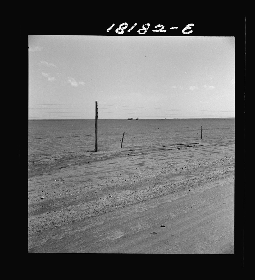
Taken for the Office of War Information and the Farm Security Administration, who photographed the country between 1935 and 1944. Works of United States government photographers, with no known restriction on use. Each opens its catalogue record.
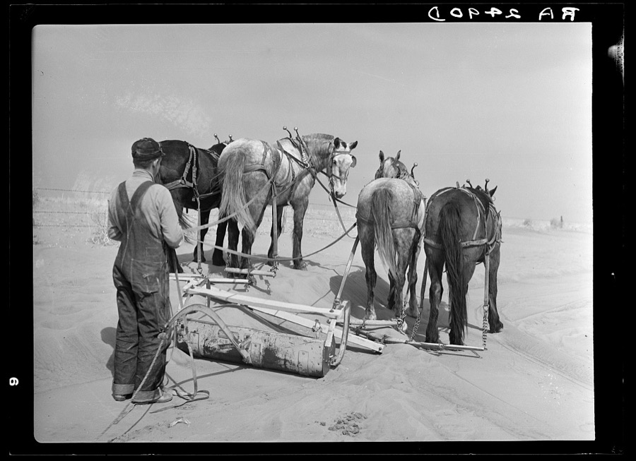
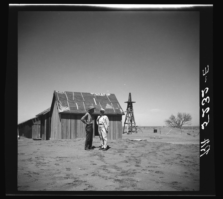
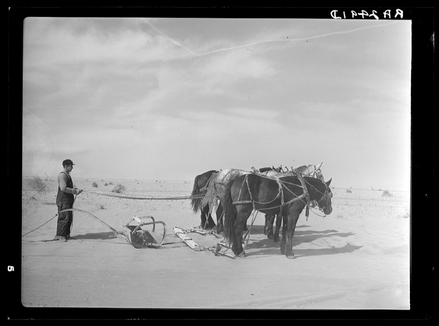
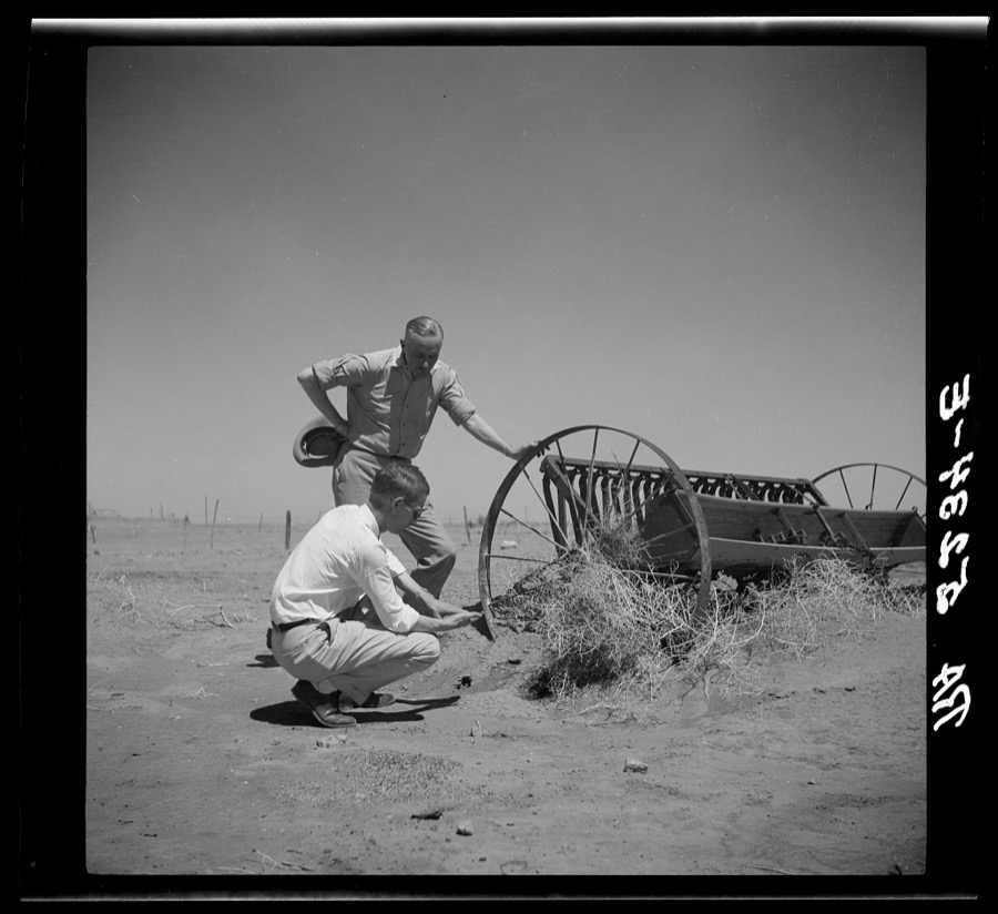
Every property in this county listed on the National Register of Historic Places, with the year it was listed and the federal nomination document.
| Photograph | Property | Type | Listed | Reference |
|---|---|---|---|---|
| Adams Woodframe Grain Elevator | building | 1983 | 83002129 | |
| Baker Woodframe Elevator | building | 1983 | 83002130 | |
| Baker Woodframe Grain Elevator | building | 1983 | 83002131 | |
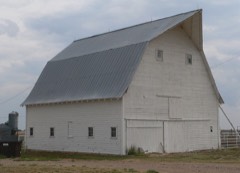 | Elmer Baker Barn | building | 2012 | 12001040 |
| CCC Ranch Headquarters | building | 1983 | 83004218 | |
 | Danholt | building | 2013 | 13000394 |
| Eva Woodframe Grain Elevator | building | 1983 | 83002132 | |
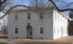 | Franklin Hall | building | 2007 | 07000909 |
 | Hooker Woodframe Grain Elevator | building | 1983 | 83002133 |
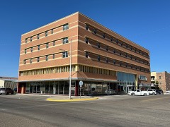 | Hotel Dale | building | 2016 | 16000376 |
| Hough Woodframe Elevator | building | 1983 | 83002134 | |
| Mouser Grain Elevator | structure | 1983 | 83004220 | |
| Mouser Woodframe Grain Elevator/Collingwood Elevator | building | 1983 | 83002135 | |
| Optima Grain Elevator | building | 1983 | 83002136 | |
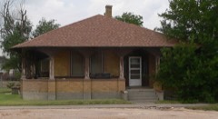 | Penick House | building | 1984 | 84003436 |
 | Texas County Courthouse | building | 1984 | 84003439 |
| Tracey Woodframe Grain Elevator | building | 1983 | 83002137 |
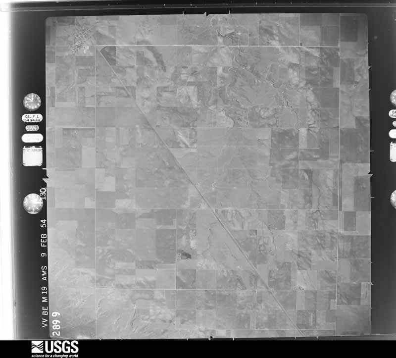
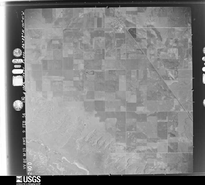
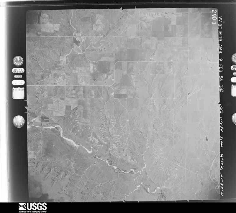
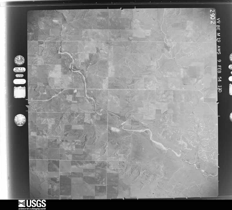
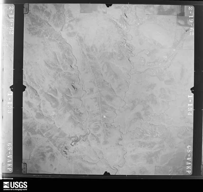
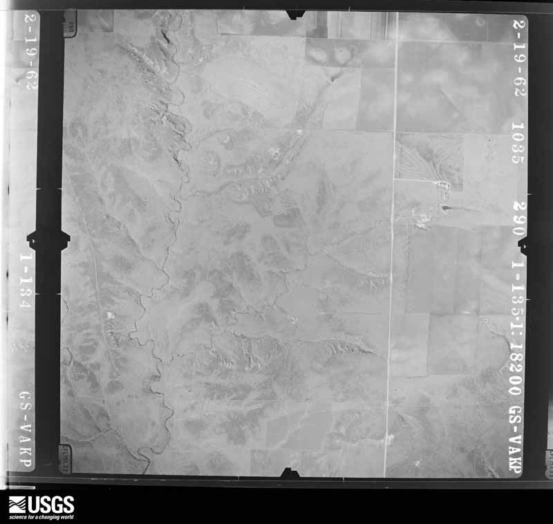
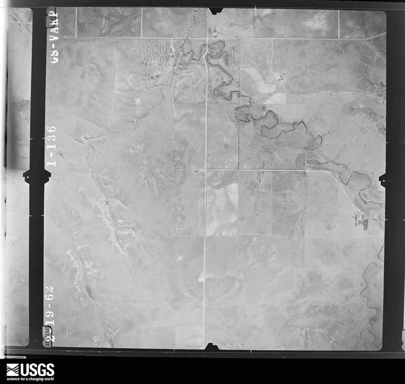
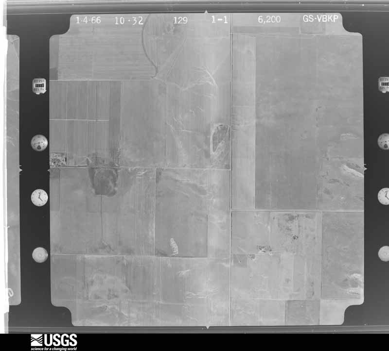
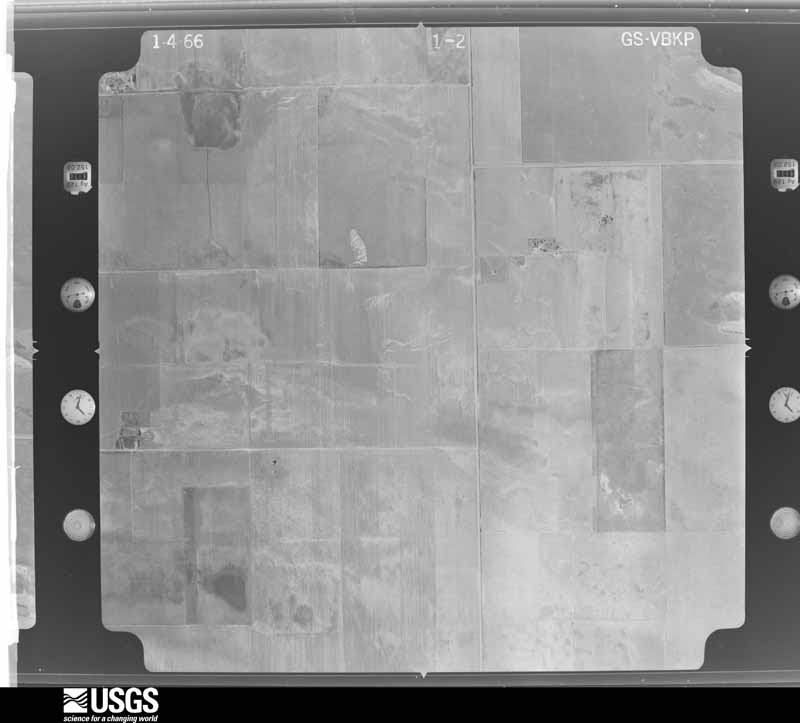
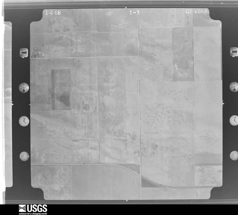
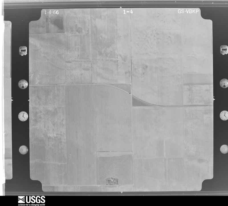
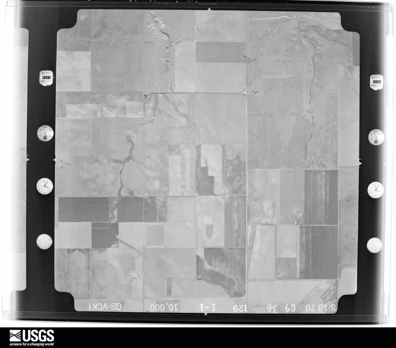
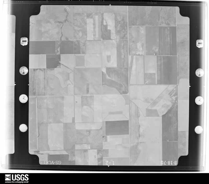
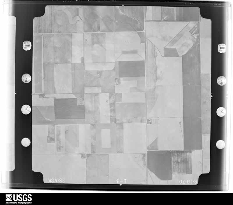
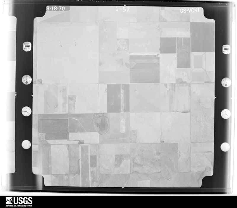
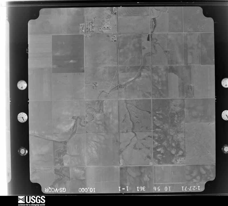
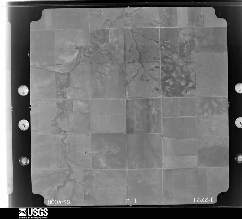
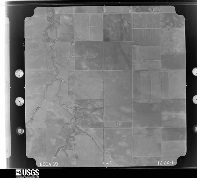
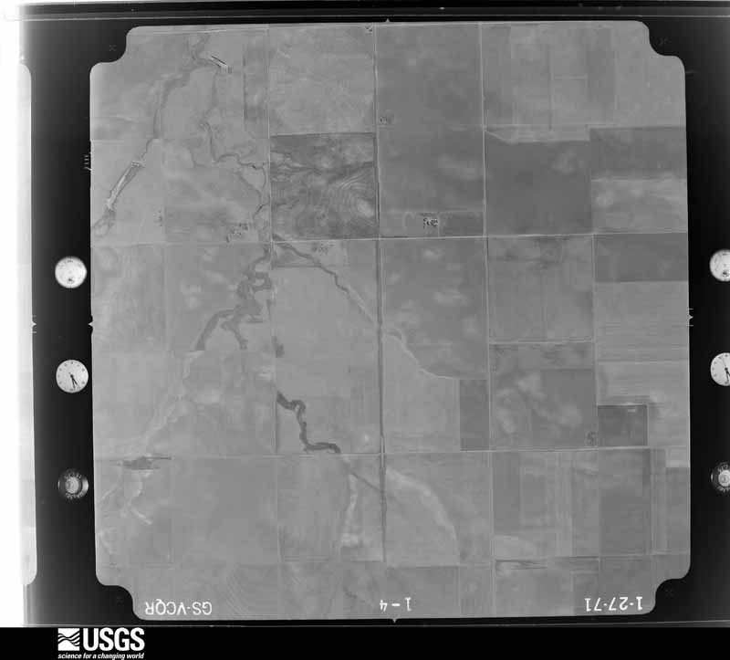
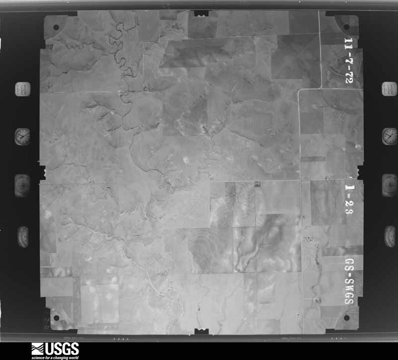
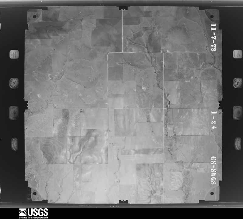
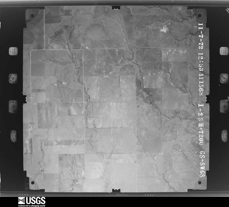
Flown by the U.S. Geological Survey between 1937 and 1989, the Aerial Photo Single Frames collection is the definitive mid-century view of the land: fields, roads and rivers as the camera saw them. The Survey holds 2,251 frames inside the rectangle that bounds this county; the 24 frames below were taken over the county itself, chosen across the decades of flights (at most four a year from that rectangle), so one flight cannot crowd out the rest. The full set is free to browse and download at EarthExplorer under the dataset Aerial Photo Single Frames.


The thermometers that kept this county's weather, and the gages that measured the flow of its streams, as the federal records hold them. The extremes below are measured values from those records, not estimates.
Who lived here in 1950, one enumeration district at a time, as the Census Bureau described each district. Each row opens its official National Archives result, with Population Schedules and ED Maps available there.
Every wildfire the federal occurrence database records inside this county: 28 of them, burning about 32,704 acres. 6 started naturally and none was recorded as arson. Each settlement page carries the fires within five miles of it.
| Reported cause | Fires |
|---|---|
| Missing data/not specified/undetermined | 15 |
| Natural | 6 |
| Debris and open burning | 3 |
| Power generation/transmission/distribution | 2 |
| Equipment and vehicle use | 1 |
| Railroad operations and maintenance | 1 |
The five largest, by the area the report gives. None of them was recorded as arson.
| Date | Cause | Size | Reported by | Name on the report |
|---|---|---|---|---|
| 6 March 1997 | Debris and open burning | 11,000 acres | Optima National Wildlife Refuge | BUOY LINE |
| 10 June 2008 | Missing data/not specified/undetermined | 5,400 acres | Oklahoma Division of Forestry | GOFF CREEK |
| 16 December 2016 | Missing data/not specified/undetermined | 4,769 acres | Oklahoma Division of Forestry | OPTIMA |
| 10 March 2006 | Missing data/not specified/undetermined | 1,600 acres | Oklahoma Division of Forestry | ADAMS |
| 19 August 2019 | Natural | 1,080 acres | Oklahoma Division of Forestry | CLAUSON |
| 5 March 1994 | Debris and open burning | 999 acres | Optima National Wildlife Refuge | HIGHWAY-E |
| 19 August 2019 | Natural | 865 acres | Oklahoma Division of Forestry | HITCH |
| 14 November 2020 | Power generation/transmission/distribution | 858 acres | Oklahoma Division of Forestry | HARDESTY FIRE |
Every settlement page carries the fires within five miles of it - see the settlement index below.
The NOAA Storm Events Database holds 1,112 reports for this county, causing 1 death, 15 injuries and about $7,864,092 in recorded property damage. Each settlement page carries the reports that name it.
| Kind of event | Reports |
|---|---|
| Hail | 571 |
| Thunderstorm Wind | 438 |
| Tornado | 76 |
| Flash Flood | 15 |
| Heavy Rain | 5 |
| Flood | 4 |
| Lightning | 3 |
The most serious of them, by death, then injury, then recorded damage. The accounts are quoted exactly as the forecast office filed them.
| When | Event | Place named | Harm | What the report says |
|---|---|---|---|---|
| July 1996 | Lightning | Guymon | 1 killed | no account filed |
| September 1987 | Thunderstorm Wind | not stated | 7 hurt | no account filed |
| June 1988 | Thunderstorm Wind | not stated | 6 hurt | no account filed |
| July 1967 | Tornado (F2) | not stated | 1 hurt, $25,000 | no account filed |
| June 2009 | Hail | Hooker | 1 hurt, $8,000 | The Texas County Emergency Manager reported golf ball to base ball size hail in Hooker. The hail broke numerous windows on homes and also busted numerous windshields on vehicles. One person was injured from baseball size hail. |
| June 2006 | Tornado (F1) | Adams | $700,000 | An official storm damage survey was made by the Texas County Emergency Manager. One hog barn was severely damaged and three homes sustained significant roof damage. Also...two barns and a pickup with a trailor hitched to the pickup were damaged. |
| May 2001 | Thunderstorm Wind | Hooker | $500,000 | An old granary was picked up and dropped on drills...a garage was moved off its foundation...and a windmill was twisted beyond repair. The high winds also destroyed two grain bins blowing debris through other out buildings and twisting and folding the pipe TV antenna pole. The winds also broke more than eighteen of Tri-County Electic Cooperative's distribution poles. Some wheat and corn fields were leveled by tons of tiny wind-driven hail. |
| June 1999 | Thunderstorm Wind | Eva | $500,000 | Report of roofs blown off homes between Eva and Hough. |
| June 1994 | Thunderstorm Wind | Guymon | $500,000 | Thunderstorms with very strong winds moved through the Oklahoma panhandle. Measured winds at KGNC radio station of 81 mph blew their radio tower onto a car. Windows were broken in Eva and several trees were blown over and numerous limbs broken. A tractor semi-trailer was blown over in Slapout. |
| June 1994 | Thunderstorm Wind | Guymon | $500,000 | Thunderstorms with very strong winds moved through the Oklahoma panhandle. Measured winds at KGNC radio station of 81 MPH blew their radio tower onto a car. Windows were broken in Eva and several trees were blown over and numerous limbs broken. A semi-trailer truck was blown over in Slapout. |
| June 1994 | Hail | Hardesty | $500,000 | Severe thunderstorms rolled through the Oklahoma panhandle bringing strong winds and hail up to baseball size. Numerous automobile windows were broken and the roofs of many homes sustained serious damage. |
| June 1994 | Hail | Hardesty | $500,000 | Severe thunderstorms rolled through the Oklahoma panhandle bringing strong winds and hail up to baseball-size. Numerous automobile windows were broken and the roofs of many homes sustained serious damage. |
| May 1993 | Tornado (F3) | - 4.5 | $500,000 | no account filed |
| May 2001 | Thunderstorm Wind | Guymon | $350,000 | Five to seven tractor trailers reported blown over. |
| June 2003 | Thunderstorm Wind | Guymon | $330,000 | High winds blew thirty-four railroad cars containing thirty-five refigerated containers off the tracks east of Guymon. There were no injuries. |
| November 1975 | Tornado (F2) | not stated | $250,000 | no account filed |
| June 1956 | Tornado (F1) | not stated | $250,000 | no account filed |
| May 1996 | Hail | Guymon | $200,000 | no account filed |
| June 2003 | Thunderstorm Wind | Hooker | $165,000 | Five mobile homes were completely destroyed and six more mobile homes were damaged near the town of Optima. Also...seventy electric poles belonging to Tri-County Electric were sheared off by the high winds. |
| June 2008 | Thunderstorm Wind | Hooker | $147,000 | The Beaver County Emergency Manager reported that two carports were destroyed...one roof of a mobile home was damaged...and eight other mobile homes received lesser damage. Emergency Management trained spotters estimated the wind gusts to be between sixty and seventy knots. |
| June 2003 | Thunderstorm Wind | Hooker | $130,000 | Several storage buildings around the town of Hooker were damaged along with three transmission poles belonging to Xcel Energy were blown down between Guymon and Hooker. This resulted in a power outage which lasted for up to three and a half hours. |
| September 2001 | Hail | Hooker | $100,000 | Damage was reported to vehicles parked outside and also sidings and roofs were full of holes along with many broken windows and torn screens. Trees were stripped of their leaves and many small branches were broken out of the trees with even some larger branches downed. |
| September 1995 | Thunderstorm Wind | Guymon | $100,000 | no account filed |
| July 2000 | Thunderstorm Wind | Tyrone | $95,000 | Fifteen railroad cars were blown over by the high winds. |
| June 2006 | Thunderstorm Wind | Guymon | $68,000 | High winds overturned a tractor-trailer. |
| May 2008 | Thunderstorm Wind | Hooker | $67,000 | Outflow winds from thunderstorms downed several power lines and fifteen power poles in Hooker and west of Hooker with a report of two small grass fires ongoing. Power was lost in Hooker for about six hours. The downed power poles west of Hooker on U.S. Highway 54 and north sparked a wheat stubble fire. Then...high winds apparently blew a county equipment shed apart...opening a gas line that was ignited by a spark from metal or electricity. The county lost some pieces of equipment but most items stored in the shed were saved. |
| June 2023 | Thunderstorm Wind | Hardesty | $62,000 | Reports were received of barn roof sheared/blown off and as well as downed power poles from the wind. |
| June 2006 | Thunderstorm Wind | Adams | $58,000 | Thunderstorm wind damage to three homes which was reported at the intersection of Road 59 and Road M. |
| May 2008 | Thunderstorm Wind | Hooker | $50,000 | A county barn was blown over damaging a few houses and vehicles. Power lines were also reported to be blown down. No injuries were reported. |
| July 1998 | Thunderstorm Wind | Adams | $50,000 | The roof of a mobile home was reported to have been taken off. Power lines were reported down along with several barns destroyed. |
| May 1995 | Hail | Guymon | $50,000 | Severe thunderstorms moved through the Oklahoma panhandle dropping large hail up to golf ball-size. The damage in Eva and Guymon was mostly to automobiles. |
| June 1994 | Hail | Optima | $50,000 | Severe thunderstorms rolled through the Oklahoma panhandle bringing strong winds and hail up to baseball-size. Numerous automobile windows were broken and the roofs of many homes sustained serious damage. |
| June 1994 | Hail | Optima | $50,000 | Severe thunderstorms rolled through the Oklahoma panhandle bringing strong winds and hail up to baseball size. Numerous automobile windows were broken and the roofs of many homes sustained serious damage. |
| May 1993 | Tornado (F3) | Optima | $50,000 | no account filed |
| April 2007 | Thunderstorm Wind | Guymon | $43,000 | Eighteen wheelers reportedly blown over by the high winds...there was no power in the town of Texhoma...telephone poles were blown down...and the town of Hooker Police Department reported windows blown out. The new metal roof of the Hooker City Hall was peeled back and the glass front door was blown out but not broken. A satellite dish was also thrown off of the police station in Hooker and some interior damage occurred. A windmill was completely destroyed...along with a shed and a fence...northeast of Hooker and a horse barn was picked up and dropped on its roof. No injuries were reported. |
| June 2006 | Thunderstorm Wind | Hardesty | $42,000 | High winds caused damage to homes. Also...street signs...trees and power poles were reported blown down. |
| June 2005 | Thunderstorm Wind | Goodwell | $37,000 | Patrol vehicle reported to be damaged by tree blowing over onto it. |
| April 2001 | Thunderstorm Wind | Guymon | $35,000 | A barn roof was reported blown off and a travel trailer was blown around. |
| June 2006 | Thunderstorm Wind | Adams | $34,000 | Report of several power poles blown down and irrigation towers overturned. |
| June 2008 | Hail | Guymon | $32,000 | The start and end times for the hail were estimated. The Texas County Emergency Manager reported that one home received considerable damage from softball size hail. The Emergency Manager reported that the home had broken out windows along with major roof damage. No injuries were reported. |
| August 2011 | Thunderstorm Wind | Eva | $30,000 | Local law enforcement officials in Texas County reported that the thunderstorm wind gusts had pushed a pole barn one hundred yards into a house and that the debris was scattered about one quarter to one half miles past the house. Also, there was damage to the house and that a swing set was overturned by the thunderstorm wind gusts. There were no reports of injuries or fatalities. |
| May 2003 | Tornado (F1) | Goodwell | $30,000 | The tornado remained over open country. The tornado knocked down powerlines north of Texhoma...destroyed one hog barn with major damage to two others...and two homes in rural Texas county received major damage. |
| May 2007 | Thunderstorm Wind | Guymon | $28,000 | Wind damage occurred over the south side of the city of Guymon Oklahoma mainly along Southwest 5th Street. A two car garage was destroyed...dumpsters were flipped over...and fences were blown down. No injuries were reported. |
| June 2000 | Thunderstorm Wind | Hooker | $25,000 | Several large trees were uprooted and limbs broken by the high winds...fences were blown down...roof shingles were peeled back and windows were broken in the town of Hooker. |
| August 1982 | Tornado (F1) | not stated | $25,000 | no account filed |
| August 1980 | Tornado (F1) | not stated | $25,000 | no account filed |
| July 1975 | Tornado (F1) | not stated | $25,000 | no account filed |
| June 2024 | Thunderstorm Wind | Baker | $20,000 | Power poles were snapped along us HWY64, 13 miles east of Hooker. Time of occurrence was estimated by radar data. |
| June 2021 | Thunderstorm Wind | Optima | $20,000 | Metal grain bins damaged. |
| July 2020 | Thunderstorm Wind | Goodwell | $20,000 | Half of the roof blown was off of a mobile home in Goodwell. Some 6-inch diameter tree limbs were downed. |
| June 2011 | Tornado (EF1) | Tyrone | $20,000 | An official National Weather storm survey determined that the tornado touched down near the intersection of Mile 54 Road and B Road about two miles north northeast of Tyrone Oklahoma in Texas County around 1811 CST. The tornado was on the ground for about two and one tenth miles with a maximum path width of fifty yards. The roof was removed and the windows were broken on a manufactured home in Wesley Acres. There were also a few outbuildings which were destroyed. The maximum wind speeds of the tornado were estimated to be seventy-eight knots. The tornado dissipated just southeast of the intersection of Mile 56 Road and B Road around 1825 CST. There were no reports of injuries or fatalities. |
| May 2003 | Tornado (F0) | Optima | $20,000 | No injuries were reported from the tornado. The path length and path width were estimated. The tornado destroyed a poorly constructed home plus two other homes sustained minor damage. |
| May 2001 | Thunderstorm Wind | Guymon | $20,000 | Power lines and power poles reported blown down. |
| September 2001 | Thunderstorm Wind | Hooker | $20,000 | Damage reported to power poles and homes. Also...windshields of cars were reported blown out. |
| March 2000 | Thunderstorm Wind | Hooker | $20,000 | A barn was blown over and there were trees down. |
| May 1995 | Hail | Eva | $20,000 | Severe thunderstorms moved through the Oklahoma panhandle dropping large hail up to golf ball-size. The damage in Eva and Guymon was mostly to automobiles. |
| May 2007 | Tornado (EF1) | Hough | $18,000 | This tornado formed over open country at 1906 CST about eleven miles west southwest of Hough Oklahoma near Muncy and tracked eastward along East West County Road 13 before dissipating at 1917 CST roughly seven miles southwest of Hough...or just east of where East West County Road 13 ends and between North South County Roads 73 and 75. The tornado damaged a grain elevator and also two irrigation pivots...however no injuries were reported. |
| August 2004 | Thunderstorm Wind | Adams | $18,000 | Several power poles reported blown down and church windows blown out. |
| May 2008 | Thunderstorm Wind | Hardesty | $16,000 | Power lines were reported to be down along U.S. Highway 412 in southeastern Texas County. |
| June 2025 | Hail | Goodwell | $15,000 | A supercell thunderstorm brought a swath of large hail to the areas around Goodwell in Texas County. Baseball size hail fell around six miles west of Goodwell. The largest hailstone that was observed was three inches which occurred three miles southwest of Goodwell. Golfball size hail fell five miles south of Goodwell which resulted in hail damage to trailers and broken windows. Golfball size hail also fell in Goodwell. |
The Survey's mineral resources record lists 117 workings inside this county. 14 still produce and 103 are closed or unrecorded. Each settlement page carries the workings within five miles of it.
| Commodity | Workings |
|---|---|
| Limestone, General | 71 |
| Sand and Gravel, Construction | 40 |
| Limestone, General, Sand and Gravel, Construction | 6 |
| Sand and Gravel, Construction, Limestone, General | 1 |
The least common of them first, because a county's hundredth gravel pit says nothing its first ten did not.
| Where | Site | Commodity | Status | Recorded |
|---|---|---|---|---|
| Unknown Caliche Pit | Sand and Gravel, Construction, Limestone, General | Past Producer | ||
| Unknown Caliche Pit | Limestone, General, Sand and Gravel, Construction | Past Producer | ||
| Unknown Gravel Pit | Limestone, General, Sand and Gravel, Construction | Past Producer | ||
| Unknown Sand Pit | Limestone, General, Sand and Gravel, Construction | Past Producer | ||
| Unknown Sand Pit | Limestone, General, Sand and Gravel, Construction | Past Producer | ||
| Unknown Sand Pit | Limestone, General, Sand and Gravel, Construction | Past Producer | ||
| Unknown Sand Pit | Limestone, General, Sand and Gravel, Construction | Past Producer | ||
| Behne Pit | Sand and Gravel, Construction | Producer | ||
| Stewart Pit No. 2 | Sand and Gravel, Construction | Producer | ||
| Unknown Caliche Pit | Limestone, General, Sand and Gravel, Construction | Producer | ||
| Unknown Gravel Pit | Sand and Gravel, Construction | Past Producer | ||
| Unknown Gravel Pit | Sand and Gravel, Construction | Past Producer | ||
| Unknown Gravel Pit | Sand and Gravel, Construction | Past Producer | ||
| Unknown Gravel Pit | Sand and Gravel, Construction | Past Producer | ||
| Unknown Gravel Pit | Sand and Gravel, Construction | Past Producer | ||
| Unknown Gravel Pit | Sand and Gravel, Construction | Past Producer | ||
| Unknown Gravel Pit | Sand and Gravel, Construction | Past Producer | ||
| Unknown Gravel Pit | Sand and Gravel, Construction | Past Producer | ||
| Unknown Gravel Pit | Sand and Gravel, Construction | Past Producer | ||
| Unknown Gravel Pit | Sand and Gravel, Construction | Past Producer | ||
| Unknown Gravel Pit | Sand and Gravel, Construction | Past Producer | ||
| Unknown Gravel Pit | Sand and Gravel, Construction | Past Producer | ||
| Unknown Gravel Pit | Sand and Gravel, Construction | Past Producer | ||
| Unknown Gravel Pit | Sand and Gravel, Construction | Producer | ||
| Unknown Gravel Pit | Sand and Gravel, Construction | Past Producer | ||
| Unknown Gravel Pit | Sand and Gravel, Construction | Past Producer | ||
| Unknown Gravel Pit | Sand and Gravel, Construction | Past Producer | ||
| Unknown Gravel Pit | Sand and Gravel, Construction | Past Producer | ||
| Unknown Gravel Pit | Sand and Gravel, Construction | Past Producer | ||
| Unknown Gravel Pit | Sand and Gravel, Construction | Past Producer | ||
| Unknown Gravel Pit | Sand and Gravel, Construction | Past Producer | ||
| Unknown Sand Pit | Sand and Gravel, Construction | Past Producer | ||
| Unknown Sand Pit | Sand and Gravel, Construction | Past Producer | ||
| Unknown Sand Pit | Sand and Gravel, Construction | Unknown | ||
| Unknown Sand Pit | Sand and Gravel, Construction | Past Producer | ||
| Unknown Sand Pit | Sand and Gravel, Construction | Past Producer | ||
| Unknown Sand Pit | Sand and Gravel, Construction | Past Producer | ||
| Unknown Sand Pit | Sand and Gravel, Construction | Unknown | ||
| Unknown Sand Pit | Sand and Gravel, Construction | Past Producer | ||
| Unknown Sand Pit | Sand and Gravel, Construction | Past Producer | ||
| Unknown Sand Pit | Sand and Gravel, Construction | Past Producer | ||
| Unknown Caliche Pit | Limestone, General | Producer | ||
| Unknown Caliche Pit | Limestone, General | Past Producer | ||
| Unknown Caliche Pit | Limestone, General | Producer | ||
| Unknown Caliche Pit | Limestone, General | Past Producer | ||
| Unknown Caliche Pit | Limestone, General | Past Producer | ||
| Unknown Caliche Pit | Limestone, General | Past Producer | ||
| Unknown Caliche Pit | Limestone, General | Producer | ||
| Unknown Caliche Pit | Limestone, General | Past Producer | ||
| Unknown Caliche Pit | Limestone, General | Past Producer | ||
| Unknown Caliche Pit | Limestone, General | Unknown | ||
| Unknown Caliche Pit | Limestone, General | Past Producer | ||
| Unknown Caliche Pit | Limestone, General | Past Producer | ||
| Unknown Caliche Pit | Limestone, General | Past Producer | ||
| Unknown Caliche Pit | Limestone, General | Past Producer | ||
| Unknown Caliche Pit | Limestone, General | Past Producer | ||
| Unknown Caliche Pit | Limestone, General | Past Producer | ||
| Unknown Caliche Pit | Limestone, General | Past Producer | ||
| Unknown Caliche Pit | Limestone, General | Past Producer | ||
| Unknown Caliche Pit | Limestone, General | Producer | ||
| Unknown Caliche Pit | Limestone, General | Past Producer | ||
| Unknown Caliche Pit | Limestone, General | Past Producer | ||
| Unknown Caliche Pit | Limestone, General | Past Producer | ||
| Unknown Caliche Pit | Limestone, General | Past Producer | ||
| Unknown Caliche Pit | Limestone, General | Past Producer | ||
| Unknown Caliche Pit | Limestone, General | Producer | ||
| Unknown Caliche Pit | Limestone, General | Past Producer | ||
| Unknown Caliche Pit | Limestone, General | Producer | ||
| Unknown Caliche Pit | Limestone, General | Past Producer | ||
| Unknown Caliche Pit | Limestone, General | Past Producer | ||
| Unknown Caliche Pit | Limestone, General | Past Producer | ||
| Unknown Caliche Pit | Limestone, General | Past Producer | ||
| Unknown Caliche Pit | Limestone, General | Past Producer | ||
| Unknown Caliche Pit | Limestone, General | Past Producer | ||
| Unknown Caliche Pit | Limestone, General | Past Producer | ||
| Unknown Caliche Pit | Limestone, General | Producer | ||
| Unknown Caliche Pit | Limestone, General | Past Producer | ||
| Unknown Caliche Pit | Limestone, General | Past Producer | ||
| Unknown Caliche Pit | Limestone, General | Past Producer | ||
| Unknown Caliche Pit | Limestone, General | Unknown | ||
| Unknown Caliche Pit | Limestone, General | Past Producer | ||
| Unknown Caliche Pit | Limestone, General | Past Producer | ||
| Unknown Caliche Pit | Limestone, General | Past Producer | ||
| Unknown Caliche Pit | Limestone, General | Past Producer | ||
| Unknown Caliche Pit | Limestone, General | Past Producer | ||
| Unknown Caliche Pit | Limestone, General | Past Producer | ||
| Unknown Caliche Pit | Limestone, General | Past Producer | ||
| Unknown Caliche Pit | Limestone, General | Past Producer | ||
| Unknown Caliche Pit | Limestone, General | Past Producer | ||
| Unknown Caliche Pit | Limestone, General | Past Producer | ||
| Unknown Caliche Pit | Limestone, General | Past Producer | ||
| Unknown Caliche Pit | Limestone, General | Past Producer | ||
| Unknown Caliche Pit | Limestone, General | Past Producer | ||
| Unknown Caliche Pit | Limestone, General | Past Producer | ||
| Unknown Caliche Pit | Limestone, General | Past Producer | ||
| Unknown Caliche Pit | Limestone, General | Past Producer | ||
| Unknown Caliche Pit | Limestone, General | Past Producer | ||
| Unknown Caliche Pit | Limestone, General | Past Producer | ||
| Unknown Caliche Pit | Limestone, General | Past Producer | ||
| Unknown Caliche Pit | Limestone, General | Past Producer | ||
| Unknown Caliche Pit | Limestone, General | Past Producer | ||
| Unknown Caliche Pit | Limestone, General | Producer | ||
| Unknown Caliche Pit | Limestone, General | Past Producer |
Named settlements recorded in the Geographic Names Information System, each with the topographic sheets covering it. Villages, hamlets and abandoned places alike. Each is shown with the nearest named watercourse or landform and the survey quadrangle it falls on. The 4 places that were also surveyed for fire insurance come first, with the number of atlases and photographs held for them.
Guymon census division · 73939 · Goodwell quadrangle
6 sheets, 1954 to 1982
Fire insurance: 2 atlases
Guymon census division · 73942 · Guymon quadrangle
7 sheets, 1954 to 1982
Fire insurance: 2 atlases
Hooker census division · 73945 · Hooker quadrangle
6 sheets, 1954 to 1982
Fire insurance: 4 atlases
Hooker census division · 73951 · Tyrone quadrangle
7 sheets, 1954 to 1982
Fire insurance: 4 atlases
6 topographic sheets and 4 fire insurance atlases, 1911 to 1930
7 topographic sheets and 4 fire insurance atlases, 1912 to 1930