 Block
Nichols Hills, Oklahoma
19 topographic sheets cover this place, the earliest surveyed in 1892 and the latest in 1995. It stands in the Oklahoma City Southwest census division. It lies in ZIP code area 73116. The Survey maps it on the Britton quadrangle. 3,870 people lived here at the 2020 count. It stands 1,220 feet above sea level.
On record in Nichols Hills
Buildings and businesses the archive holds for this place. Each opens its own page, with the source record it came from.
On the National Register 1 record
 Frank and Merle Buttram House and Groundslisted 1990
Surveyed buildings and structures 2 records
- Buttram Estate, 7316 Nichols Road, Nichols Hillsfederal building survey, 1 photograph
- City of Nichols Hills, Nichols Hillsfederal building survey, 1 photograph
Population over time
2 figuresNichols Hills grew from 3,710 to 3,870 between 2010 and 2020. These are the recorded population figures Wikidata holds for this place, reached through the Geographic Names Information System number this page is keyed on rather than by name, so they belong to this place and not to another of the same name. Most are census counts, but not all are: an early figure may be a founding or settlement estimate, and an estimate published within five years of a census is left out. The change column is computed, and is left blank where more than 20 years separate a figure from the one before it, because a gap that long is not a change between two counts.
| Year | People | Change |
|---|---|---|
| 2010 | 3,710 | |
| 2020 | 3,870 | +160 (+4%) |
Topographic sheets covering this place
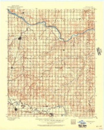
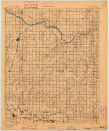
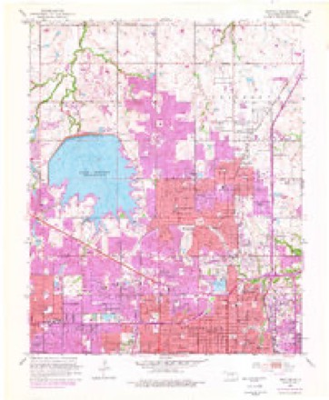
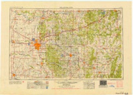
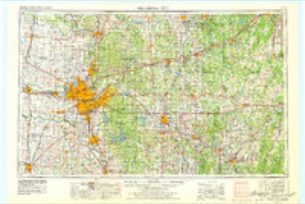
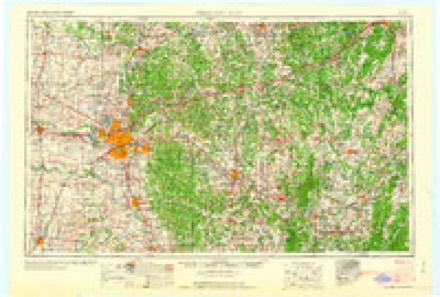
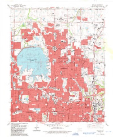
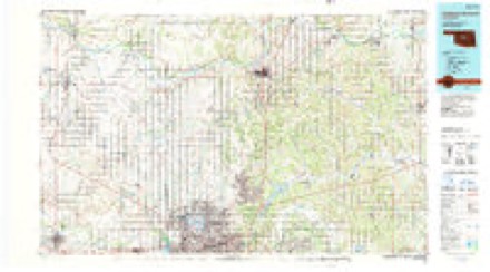
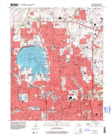
9 surveys from 19 printed sheetsMatched by testing this settlement's coordinate against the published boundary of every sheet in the United States Geological Survey's historical collection. Each opens the scanned sheet at the Survey.
- 1892 USGS Kingfisher quadrangle1:125000
- 1895 USGS Kingfisher quadrangle1:125000, 4 printings
- 1951 USGS Britton quadrangle1:24000, 6 printings
- 1954 USGS Oklahoma City quadrangle1:250000
- 1957 USGS Oklahoma City quadrangle1:250000, 3 printings
- 1963 USGS Oklahoma City quadrangle1:250000
- 1986 USGS Britton quadrangle1:24000
- 1990 USGS Oklahoma City North quadrangle1:100000
- 1995 USGS Britton quadrangle1:24000
Mines and quarries near this place
4 within 5 milesRegional context, not property-specific evidence. The federal mineral resources record lists 4 workings within 5 miles of Nichols Hills: 3 past producers, 1 producer. 1 still produces. What was taken out: Sand and Gravel, Construction, Clay. Distance is straight-line from the map coordinates, so a quarry counted here may appear on a neighbouring settlement's page as well.
| Where | Site | Commodity | Status | Recorded |
|---|---|---|---|---|
| Edmond Pit and Plant | Clay | Producer | ||
| Unknown Sand Pit | Sand and Gravel, Construction | Past Producer | ||
| Unknown Sand Pit | Sand and Gravel, Construction | Past Producer | ||
| Unknown Sand Pit | Sand and Gravel, Construction | Past Producer |
Storms near this place
60 of 61 shownRegional context, not property-specific evidence. The National Weather Service names Nichols Hills in 61 storm reports between 1994 and 2026: 34 hail, 18 thunderstorm wind, 7 flash flood, 1 tornado. The reports record 4 injuries. Each account below is quoted exactly as the forecast office filed it, from the NOAA Storm Events Database, and each date opens the federal record of that event.
| When | Event | Place named | Harm | What the report says |
|---|---|---|---|---|
| June 1998 | Tornado (F2) | Nichols Hills | 4 hurt, $150,000 | This tornado touched down 1 block west of north May Avenue and Pembroke Terrace and moved east to Woods Park in Nichols Hills. Total path length was 1.5 miles and maximum width was 75 yards. This tornado was rated F2(113-157 mph). Four persons were injured and transported to local hospitals. Considerable damage was done to the strip mall in the 7400 block of north May Avenue. Windows were blown out of several businesses, several lost roofs, power lines were downed and large signs were bent. One business on the east side of May Ave. suffered collapse of an exterior south facing wall. On Pembroke Terrace, an RV was thrown into a house, a car was over-turned, trees were toppled, and shingles and roof decking were partially blown away. Lesser damage occurred eastward into Nichols Hills. Interestingly, this tornado rotated anticyclonically. Although the over-turned car and major damage to one wood frame house roof suggested the tornado may have reached F2 intensity in a very small area, the majority of the damage was consistent with an F1 rating. |
| May 2012 | Hail | Nichols Hills | $250,000,000 | Widespread hail damage was reported with sizes ranging from 1.25 to 2.75 inches. 8,000 to 10,000 vehicles and numerous homes were damaged in the Edmond and Nichols Hills areas. Monetary damages were based on estimates from several media outlets. |
| April 2004 | Hail | Nichols Hills | $3,000,000 | Quarter size hail was observed at the corner of Grand Boulevard and Nichols Road. As the storm continued northeastward to Britton Road hail up to the size of quarters were observed with hail on the ground ranging from 3 inches to as much as 2 feet deep. Several cars got stuck in hail and had to be towed or dug out on the Broadway Extension. Hail damaged numerous structures and vehicles. The weight of the hail caused a carport to fall on one vehicle. |
| July 2014 | Lightning | Nichols Hills | $2,800,000 | KOCO news reports house fire caused by lightning. A large home along Country Club Drive in Nichols Hills was a total loss after the lightning induced fire. No injuries were reported. Damage information from NewsOK.com. |
| April 2013 | Hail | Nichols Hills | $300,000 | Reported at 1309 N Meridian in Oklahoma City. Multiple cars and roofs of homes sustained minor damage. Damages estimated. |
| May 2015 | Flash Flood | Nichols Hills | $100,000 | Runoff from heavy rainfall flowing from parking lot into Penn Square Mall entrances. |
| June 2024 | Thunderstorm Wind | Nichols Hills | $50,000 | Significant damage to the roof of a multiple story office building due to thunderstorm wind. This included a large section of roof covering and decking blown off. Time is radar estimated. |
| July 2000 | Thunderstorm Wind | Nichols Hills | $30,000 | Trees and power poles were downed city-wide. |
| July 2000 | Thunderstorm Wind | Nichols Hills | $20,000 | Massive damage was sustained to trees across the city, and the roof of United Methodist Church was damaged. |
| July 2017 | Thunderstorm Wind | Nichols Hills | $15,000 | Structural damage sustained by a business, and power lines/poles downed nearby. |
| May 2015 | Flash Flood | Nichols Hills | $15,000 | Damage to gas station awning due to weight of water. Location at Northwest 63rd Street and May Avenue. |
| June 2024 | Thunderstorm Wind | Nichols Hills | $5,000 | Social media image showing at least one power pole snapped. Time is radar estimated. |
| July 2022 | Thunderstorm Wind | Nichols Hills | $5,000 | Damage to a power pole and tree limb damage. |
| April 2017 | Thunderstorm Wind | Nichols Hills | $5,000 | Ten power poles were downed alone May ave between 63rd and Wilshire. |
| May 2008 | Thunderstorm Wind | Nichols Hills | $5,000 | Small to medium sized trees sustained some damage. Monetary damages were estimated. |
| September 2016 | Thunderstorm Wind | Nichols Hills | $1,000 | Oklahoma City emergency manager reported power lines down near NW 48th street and Northwest Expressway. Time estimated by radar. |
| March 2026 | Hail | Nichols Hills | - | The report was relayed through mPING. |
| March 2026 | Hail | Nichols Hills | - | The report was relayed through mPING. |
| March 2025 | Hail | Nichols Hills | - | MPing report. |
| May 2025 | Hail | Nichols Hills | - | The report was relayed through mPING. |
| May 2025 | Hail | Nichols Hills | - | The report was relayed through mPING. |
| May 2025 | Hail | Nichols Hills | - | The report was relayed through mPING. |
| August 2025 | Thunderstorm Wind | Nichols Hills | - | A large tree was blown down near the intersection of Northwest 68th Street and Independence Avenue. The report was relayed through Spotter Network. The event time is estimated from radar observations. |
| September 2024 | Hail | Nichols Hills | - | Hail size increased from quarter to golf ball between 1713 and 1715 LST. |
| September 2024 | Hail | Nichols Hills | - | Social media report. |
| September 2024 | Hail | Nichols Hills | - | MPing report. |
| September 2024 | Hail | Nichols Hills | - | MPing report. |
| May 2024 | Hail | Nichols Hills | - | MPing report. |
| June 2024 | Hail | Nichols Hills | - | MPing report. |
| April 2023 | Hail | Nichols Hills | - | MPing report. |
| April 2023 | Hail | Nichols Hills | - | MPing report. |
| July 2021 | Thunderstorm Wind | Nichols Hills | - | Tree limbs reported downed. |
| May 2021 | Flash Flood | Nichols Hills | - | Stalled cars in the roadway. |
| May 2021 | Flash Flood | Nichols Hills | - | Multiple cars stalled out. |
| June 2018 | Thunderstorm Wind | Nichols Hills | - | Large tree downed. Time estimated from radar/obs. |
| August 2017 | Flash Flood | Nichols Hills | - | Reports of 14 to 18 inches of water flowing over the roads near NW 36TH and Western. |
| June 2015 | Flash Flood | Nichols Hills | - | High water rescues in the vicinity of NW 36th St and W Eubanks St. |
| March 2015 | Thunderstorm Wind | Nichols Hills | - | No damage was reported. |
| May 2015 | Flash Flood | Nichols Hills | - | Water spilling out of Belle Isle Canal, covering numerous streets between Penssylvania Avenue and Classen Boulevard. |
| July 2013 | Thunderstorm Wind | Nichols Hills | - | Trained spotter estimated a gust to 60 mph. |
| May 2010 | Hail | Nichols Hills | - | Both car and residence windows were broken from the large hail. |
| May 2010 | Hail | Nichols Hills | - | The hail was reported near Western Avenue between Wilshire Boulevard and Britton Road. |
| May 2008 | Thunderstorm Wind | Nichols Hills | - | A west wind gust was measured at 59 mph, with another wind gust of 58 mph measured from the north-northwest at 5:35 pm. |
| May 2003 | Hail | Nichols Hills | - | Hail was reported at the junction of Interstate 44 and Lake Hefner Parkway. |
| March 2026 | Hail | Nichols Hills | - | no account filed |
| March 2026 | Hail | Nichols Hills | - | no account filed |
| June 2025 | Hail | Nichols Hills | - | no account filed |
| April 2023 | Hail | Nichols Hills | - | no account filed |
| April 2023 | Hail | Nichols Hills | - | no account filed |
| April 2020 | Hail | Nichols Hills | - | no account filed |
| April 2020 | Hail | Nichols Hills | - | no account filed |
| April 2020 | Hail | Nichols Hills | - | no account filed |
| April 2020 | Hail | Nichols Hills | - | no account filed |
| May 2010 | Hail | Nichols Hills | - | no account filed |
| May 2009 | Hail | Nichols Hills | - | no account filed |
| June 2008 | Thunderstorm Wind | Nichols Hills | - | no account filed |
| May 2003 | Hail | Nichols Hills | - | no account filed |
| May 2001 | Thunderstorm Wind | Nichols Hills | - | no account filed |
| August 2001 | Hail | Nichols Hills | - | no account filed |
| July 1994 | Thunderstorm Wind | Nichols Hills | - | no account filed |
Nearest settlements
The eight closest, with where each one stands in the county. Distances are straight-line, computed from the Geographic Names Information System coordinates.
| Map | Place | Distance | Sheets |
|---|---|---|---|
| The Village | 0.7 miles | 19 | |
| Britton | 1.4 miles | 19 | |
| Warr Acres | 4.2 miles | 19 | |
| Bethany | 4.9 miles | 16 | |
| Lake Aluma | 5.8 miles | 17 | |
| Oklahoma City | 6.0 miles | 19 | |
| Woodlawn Park | 6.0 miles | 16 | |
| Forest Park | 6.3 miles | 17 |
Elsewhere
Matched on this settlement's Geographic Names Information System number rather than its name, so it cannot be a different place of the same name in another state.
| Wikipedia article on Nichols Hills | An encyclopaedic summary. Its text is share-alike, so it is linked here rather than copied. |
| Wikidata item Q1911298 | The structured record the population and elevation above come from. Public domain (CC0). |
Provenance
This settlement is recorded in the Geographic Names Information System as feature 1095866. The sheet list is computed by point-in-boundary test against the United States Geological Survey's historical topographic inventory. Both are works of the United States government and carry no copyright under 17 U.S.C. 105.
Mines and quarries. USGS Mineral Resources Data System (MRDS) https://mrdata.usgs.gov/mrds/ A work of the United States government, no copyright under 17 U.S.C. 105.
Storms. NOAA National Centers for Environmental Information, Storm Events Database https://www.ncei.noaa.gov/stormevents/ A work of the United States government, no copyright under 17 U.S.C. 105. Narratives are quoted verbatim from the National Weather Service report and are not edited or summarised.