 Block
Block
Amity, Ohio
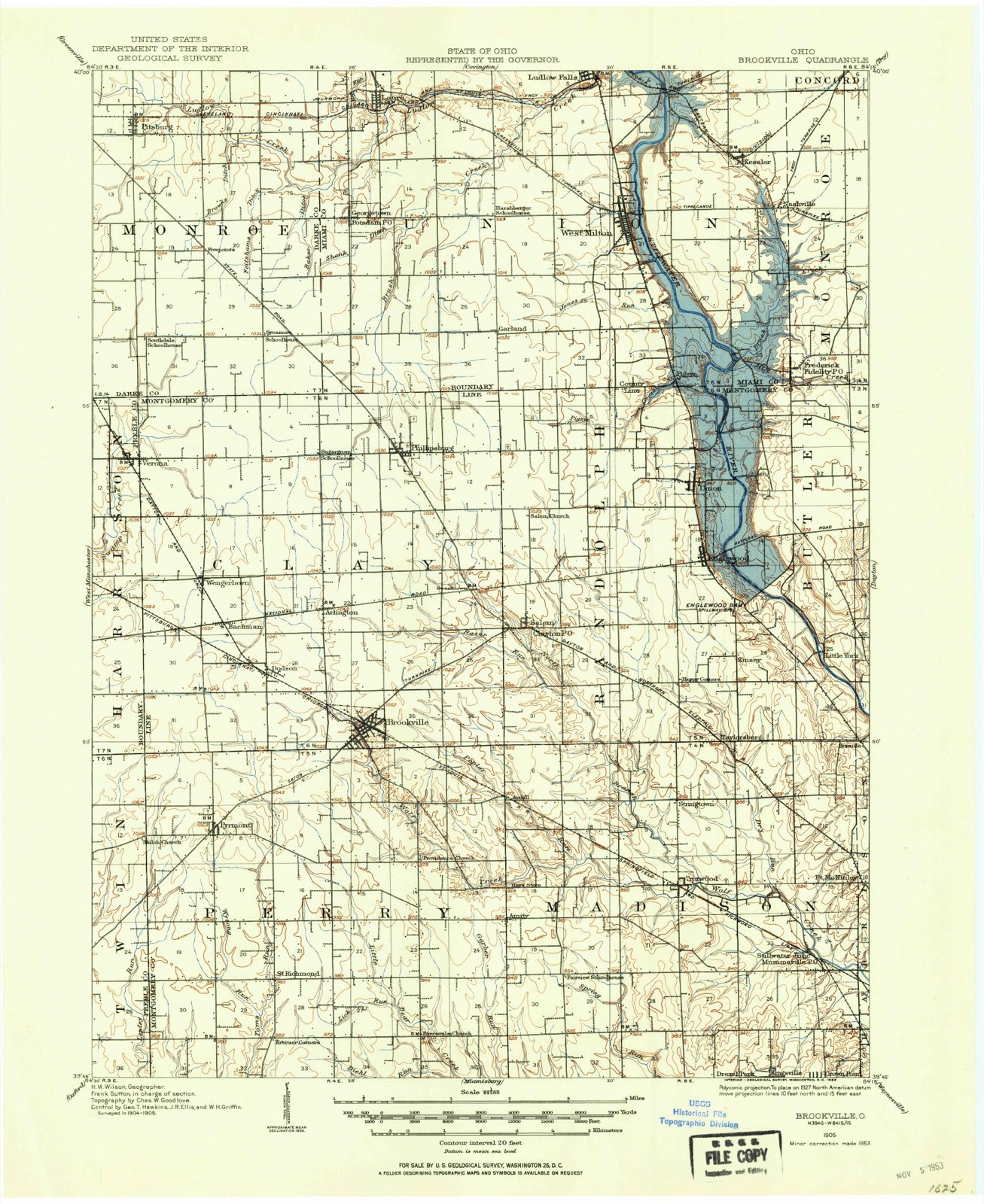
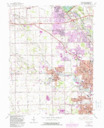
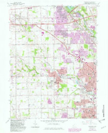
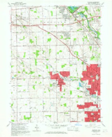
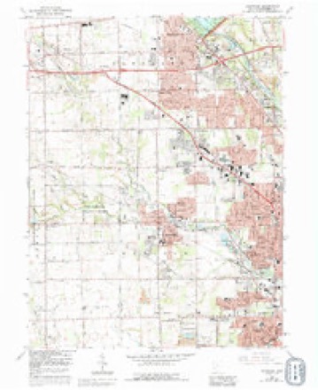
13 topographic sheets cover this place, the earliest surveyed in 1905 and the latest in 1986. It stands in Perry Township. It lies in ZIP code area 45309. It stands on Poplar Run. The Survey maps it on the Trotwood quadrangle.
Then and now
1905 to 1986The same ground, surveyed 81 years apart. Drag the handle to wipe between them. Both sheets are United States Geological Survey originals; neither has been altered.

Topographic sheets covering this place
13 sheetsMatched by testing this settlement's coordinate against the published boundary of every sheet in the United States Geological Survey's historical collection. Each opens the scanned sheet at the Survey.
- 1905 USGS Brookville quadrangle1:62500
- 1953 USGS Cincinnati quadrangle1:250000
- 1953 USGS Cincinnati quadrangle1:250000
- 1953 USGS Cincinnati quadrangle1:250000
- 1955 USGS Trotwood quadrangle1:24000
- 1957 USGS Cincinnati quadrangle1:250000
- 1965 USGS Trotwood quadrangle1:24000
- 1965 USGS Trotwood quadrangle1:24000
- 1965 USGS Trotwood quadrangle1:24000
- 1965 USGS Trotwood quadrangle1:24000
- 1965 USGS Trotwood quadrangle1:24000
- 1986 USGS Dayton quadrangle1:100000
- 1986 USGS Dayton quadrangle1:100000






In the county-history sources
26,494 words on this townshipThe History of Montgomery County, Ohio, Containing a History of the County;, published 1882 names this settlement in its chapter on Perry Township. These are the passages that mention it, exactly as the scans read.
rO write the history of a single township may to some appear like a matter of small moment, while to others it is considered very desirable that some <je should do so in each township of the whole United States. How else are ip names, memories and deeds of oui- early settlers and friends to be preserved? Id who is there that would not be pleased to look back, or to have his chilen look, upon some record of his early days, and of departed friends? And lw else should strangers settling in a township so readily obtain knowledge cits affairs as by some such local publication? Many historical facts, of val importance to our people, are now living only in the memories of a few our early settlers, who are drawing near the evening of life; their race will sn be run, and after they have passed from among us, these facts will be buri in the oblivion of the past, unless rescued now by the pages of history, le object of the following pages is to preserve for the people of Perry Iwnship an imperishable record of these facts, and although they may not uv realize the full importance of this step, their children and their children's 'ildren will fully appreciate the value of this work, which alone preserves to tm an account of the customs and early days of their ancestors and the entry they wrested from the savage grasp of the red man, when the " star of spire" reached this State in its westward flight. This township in form is pjfectly square, being sis miles on either side, containing thirty-six square ires, and is the full Congressional Township 5, Range 4. It was formed boa the townships of J ackson and Madison in 1820, the order being issued bjthe County Commissioners March 7, and was named in honor of Com. Ppi of Lake Erie fame. It is bounded on the north by Clay Township, on rl east by Madison, on the south by Jackson, and on the west by Preble mty. In appearance its land was not the most inviting to the pioneer who Nght land suitable for immediate cultivation, as they seldom, if ever, brought rce than barely enough provisions to sustain them until a crop could be '< ed. There was very little ground here that would suit them, consequently, t major part of the township was not settled until all the side-hill land in 1 neighboring territory had been entered. The most of the country was el, and accordingly very wet, water standing in some places all the year, 11 in the southeastern part and along the eastern line there was rolling and ' lull land, which was early and eagerly taken by prospecting settlers. The < consists of a sandy clay on the higher ground, while in the flats it is a i black alluvial, composed of the decayed matter of the forest. Underlying tunost of the soil there is a thick strata of good brown limestone, very usen for building purposes. This has been quarried to some extent by citizens a i variable success. About fifty years ago, Shank's Quarry at Amity was lied, and some good stone obtained, ,but it was not worked deeper than fif- 1 feet, as the water at that depth became a barrier to further proceedings. '<-\i stopped them just as they had reached the best of the stone. Another fiery was opened by Frederick Muhl shortly after this. His experience was At as Shank's, and his enterprise was blocked by the same unwelcome elea' t. A ready market was found in the surrounding country for all the stone '' hied, and large quantities of it might have been disposed of in the same ae hborhood for a reasonable price, as the demand was good. The timber of h part of the county is that usually found throughout Southern Ohio, viz. :
Passage source: The History of Montgomery County, Ohio, Containing a History of the County;, published 1882.
Machine-read from a century-old scan, so expect the errors a machine makes: misspelled names, dropped words, stray characters.
Read the whole chapter on Perry Township - it names this place 1 more 1 time.
Specimens collected near this place
12 of 634 shownRegional context, not property-specific evidence. Museums hold 634 specimens collected within 10 miles of Amity between 1836 and 1974: 506 Animalia, 67 Plantae, 56 Fungi, 3 Protozoa, 1 Unrecorded, 1 Chromista. 12 distinct Species records are shown. Collected by A. E. Foeerste, A. E. Foerste, A. F. Foerste and others. Each is a physical object with a catalogue number, and each entry opens the museum's record. This is what was collected and kept, not a survey of what lives here - nothing can be concluded from a species being absent.
| Image | Species | Year | Collected by | Where, as recorded |
|---|---|---|---|---|
 | Ambrosia artemisiifolia L. | 1881 | Foerste AF | |
 | Geaster limbatus Fr. | 1883 | A. E. Foeerste | Dayton |
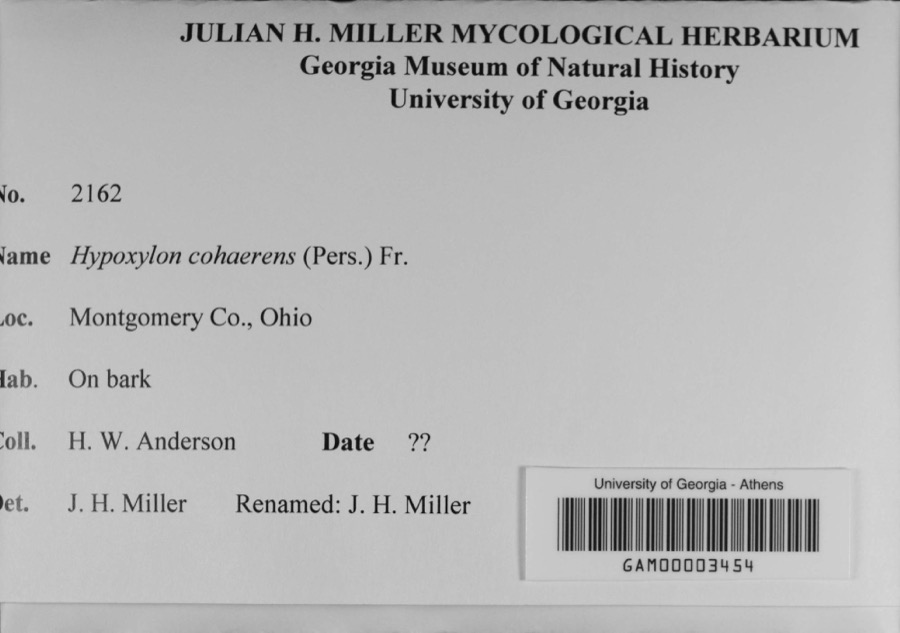 | Hypoxylon cohaerens (Pers.) Fr. | 1897 | H. W. Anderson | |
 | Platanthera leucophaea (Nutt.) Lindl. | 1836 | C. W. Short | Dayton |
 | Hydrophyllum macrophyllum Nutt. | 1838 | J. W. Van Cleve | Dayton |
 | Mertensia virginica (L.) Pers. ex Link | 1855 | Buchanan, R. | Dayton |
 | Montelia × tamariscina (Nutt.) A.Gray | 1869 | Collector(s): unknown | Dayton |
 | Anisothecium varium (Hedw.) Mitt. | 1877 | H. J. Biddlecome | |
 | Asplenium platyneuron (L.) Britton, Sterns & Poggenb. | 1877 | William B. Werthner | Ohio, Dayton |
 | Barbula unguiculata Hedw. | 1877 | H. J. Biddlecome | |
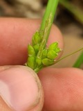 | Carex amphibola Steud. | 1877 | A. P. Morgan & L. V. Morgan | Dayton |
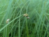 | Carex suberecta (Olney) Britton | 1877 | A. P. Morgan & L. V. Morgan | Dayton |
All 634 specimens within 10 miles, at the Global Biodiversity Information Facility.
Mines and quarries near this place
2 within 5 milesRegional context, not property-specific evidence. The federal mineral resources record lists 2 workings within 5 miles of Amity: 1 past producer, 1 plant. 1 still produces. What was taken out: Limestone, General, Stone, Crushed/Broken. Distance is straight-line from the map coordinates, so a quarry counted here may appear on a neighbouring settlement's page as well.
| Where | Site | Commodity | Status | Recorded |
|---|---|---|---|---|
| Olive Road Limestone Plant | Stone, Crushed/Broken | Plant | ||
| Olive Road Quarry | Limestone, General | Past Producer | Sedimentary |
Nearest settlements
The eight closest, with where each one stands in the county. Distances are straight-line, computed from the Geographic Names Information System coordinates.
| Map | Place | Distance | Sheets |
|---|---|---|---|
| Hays Corner | 0.5 miles | 13 | |
| Airhill | 2.1 miles | 13 | |
| Voyager Village West | 2.8 miles | 13 | |
| Post Town | 3.0 miles | 13 | |
| Trotwood | 3.0 miles | 13 | |
| New Lebanon | 3.2 miles | 11 | |
| Stringtown | 3.5 miles | 13 | |
| Brookville | 4.0 miles | 10 |
Elsewhere
Matched on this settlement's Geographic Names Information System number rather than its name, so it cannot be a different place of the same name in another state.
| Wikipedia article on Amity | An encyclopaedic summary. Its text is share-alike, so it is linked here rather than copied. |
| Wikidata item Q22752189 | The structured record the population and elevation above come from. Public domain (CC0). |
Provenance
This settlement is recorded in the Geographic Names Information System as feature 1048460. The sheet list is computed by point-in-boundary test against the United States Geological Survey's historical topographic inventory. Both are works of the United States government and carry no copyright under 17 U.S.C. 105.
Specimens. Global Biodiversity Information Facility (GBIF), https://www.gbif.org/. Only records licensed CC0 or CC BY are used. Records licensed CC BY-NC are excluded because this site carries advertising. Images are checked individually and any whose licence is non-commercial, no-derivatives or unreadable is refused.
Mines and quarries. USGS Mineral Resources Data System (MRDS) https://mrdata.usgs.gov/mrds/ A work of the United States government, no copyright under 17 U.S.C. 105.