 Block
Block
New Lebanon, Ohio
11 topographic sheets cover this place, the earliest surveyed in 1908 and the latest in 1986. It stands in Jackson Township. It lies in ZIP code area 45345. It stands on Diehl Run. The Survey maps it on the Farmersville quadrangle. 3,796 people lived here at the 2020 count. It stands 906 feet above sea level.
Population over time
2 figuresNew Lebanon fell from 3,995 to 3,796 between 2010 and 2020. These are the recorded population figures Wikidata holds for this place, reached through the Geographic Names Information System number this page is keyed on rather than by name, so they belong to this place and not to another of the same name. Most are census counts, but not all are: an early figure may be a founding or settlement estimate. The change column is computed, and is left blank where more than 20 years separate a figure from the one before it, because a gap that long is not a change between two counts.
| Year | People | Change |
|---|---|---|
| 2010 | 3,995 | |
| 2020 | 3,796 | -199 (-5%) |
Then and now
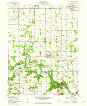
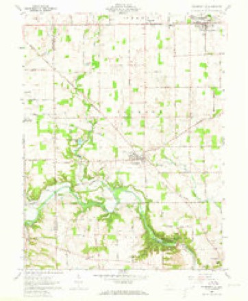
1908 to 1986The same ground, surveyed 78 years apart. Drag the handle to wipe between them. Both sheets are United States Geological Survey originals; neither has been altered.

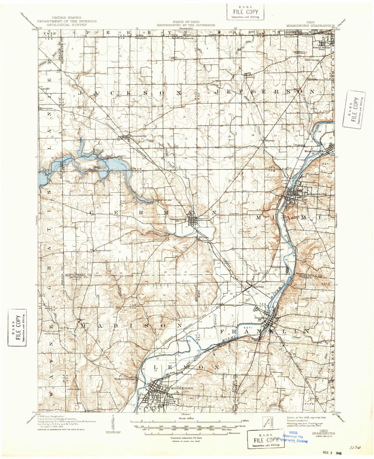
Topographic sheets covering this place
11 sheetsMatched by testing this settlement's coordinate against the published boundary of every sheet in the United States Geological Survey's historical collection. Each opens the scanned sheet at the Survey.
- 1908 USGS Miamisburg quadrangle1:62500
- 1953 USGS Cincinnati quadrangle1:250000
- 1953 USGS Cincinnati quadrangle1:250000
- 1953 USGS Cincinnati quadrangle1:250000
- 1957 USGS Cincinnati quadrangle1:250000
- 1960 USGS Farmersville quadrangle1:24000
- 1960 USGS Farmersville quadrangle1:24000
- 1960 USGS Farmersville quadrangle1:24000
- 1960 USGS Farmersville quadrangle1:24000
- 1986 USGS Dayton quadrangle1:100000
- 1986 USGS Dayton quadrangle1:100000






In the county-history sources
21,960 words on this townshipThe History of Montgomery County, Ohio, Containing a History of the County;, published 1882 names this settlement in its chapter on Jackson Township. These are the passages that mention it, exactly as the scans read.
This township does not boast of having as many towns as some of neighbors, but, in point of size and beauty, they compare favorably with th of any township in the county. There are but three of them, viz., Fir mi ville, one and a half miles south of the center of the township, in Section and Johnsville and New Lebanon, both on the extreme northern border, these, the largest is Farmersville. It was laid out by Oliver Dalrymple, Am 30, 1832, and so named on account of his selling the lots to farmers. He been keeping a store there for some years, before having himself built the house in 1822, which is still standing and occupied by his widow. The c dren went to school in a little schoolhouse, where Jacob Aulbach now lives 1830. Then to a brick schoolhouse just below the German Reformed Chui There is now a large two-story brick schoolhouse, employing three teachers furnishing educational advantages for all the children of the town. The physician was Dr. Livengood, in 1833, while the town was still a mere ban The first liquor sold in the town was in 1822, by Mr. Dalrymple, who, in dition to his store, had a quasi tavern. In March, 1849, A bill was introdr in the Legislature and passed, incorporating the town under its original m The following is the first board of officers: Mayor, Jonathan Burz; Recor J. Zehring; Council, Manassel Coolman, James Archer, O. Wysong, S. H and J. H. Butt, the first election being held on the 14th of April, 1849. T are several fine stores in town, including groceries, drug, hardware and goods stores, two hotels, two carriage manufactories, which make about vehicles per annum, barber-shops, blacksmith-shops, etc. The first ck built was the United Brethren. The society was organized in 183.1, and meetings in the houses of Jacob Crider and John Reel until 1841, when bought a half acre of ground of Dalrymple, for $36, and built a churcl $700. The first pastor was Frederick Bauubreak. The present pastor is Bowey. The church is a station in the circuit and numbers twenty-five n bers. The German Reformed, the next in order, was organized iu March, 1 with thirty members. The organization was the direct result of a difdcul' the Slifer Church. The new organization employed Rev. George Long, held services in the United Brethren Church until 1841, when Lots 40 an were purchased of Elizabeth Hollenbach for $70, and an $800 church, 31 feet, built in 1848, by W. Wysong, the contractor. It was dedicated Mi 1848, by Rev. Henry Crow, in German, and Henry Milliard, in English. A church was jirojected in 1869, on account of the incapacity of the old buik The corner-stone was laid with impressing ceremony, May 12, 1870. an< church formally dedicated, Sunday, Jan. 1, 1871, by Rev. D.VanHorn, of Da It is an imposing one-story brick structure, costing $4,500; it has a ga across one end, a belfry and bell, and a capacity for seating 400 people, chiu'ch now has a membership of 175. The following is a list of the pa in the order of service: George Long, W. K. Le Fever, J. H. Reiter, Comfort, Levi Rike and M. F. Frank, the present incumbent of the paste j The church also owns a pleasant two -story frame parsonage of seven roj adjoining the church, which was built at a cost of $1,300. The St. And Lutheran Church is a branch of the old Staver Church, formed in 185( the purpose of giving the town members a convenient place of worship wight a lot of Mr. Hollenbach. and built a small, one-story brick, where they v,rshiped until 1872, when a new lot was procured and a large two-story brick j commenced, which was completed and dedicated June 7, 1874, by (1. W. iphling. It is the most imposing building in town; it cost $10,000, has a cilacity to seat 500, with an organ, gallery, belfry and 940-pound bell; the amber ship now numbers 150. Some of the preachers were Andrew Bowman, i k'ew Hinkle, Revs. Stairwalt, Hinkle and Amos Poorman, the present pastor. 1? Methodist Episcopal, generally the pioneer of all churches, was not here anized until 1840, and, until 1861, the little band of worshipers held .stings in their private houses and in other churches. But in that year, C Leslie donated a lot, and the church built a one-storv brick for $800.
Passage source: The History of Montgomery County, Ohio, Containing a History of the County;, published 1882.
The next and last town to mention is New Lebanon, which is composed of vi additions in Jackson Township and one in Perry. The Jackson Township were made June 3, 1843, by John Brouse, and, in 1854, by Mr. J. J. ^iver. This town will be fully spoken of under the head of Perry Township, rise towns contain all the business interests of the township, which are not f issarily great, as the city of Dayton is within easy driving distance of all >r;s of the township.
Passage source: The History of Montgomery County, Ohio, Containing a History of the County;, published 1882.
Machine-read from a century-old scan, so expect the errors a machine makes: misspelled names, dropped words, stray characters.
Read the whole chapter on Jackson Township - it names this place 8 more 8 times.
Specimens collected near this place
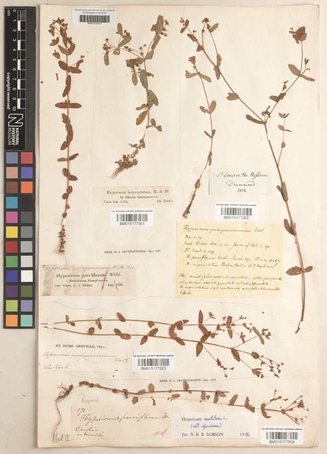
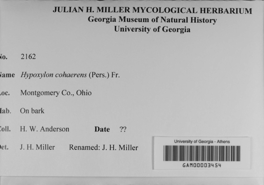
12 of 380 shownRegional context, not property-specific evidence. Museums hold 380 specimens collected within 10 miles of New Lebanon between 1835 and 1974: 343 Animalia, 18 Plantae, 12 Fungi, 3 Protozoa, 3 Chromista, 1 Unrecorded. 12 distinct Species records are shown. Collected by Allen, John, Arden R. Gaufin, Braun, E. Lucy and others. Each is a physical object with a catalogue number, and each entry opens the museum's record. This is what was collected and kept, not a survey of what lives here - nothing can be concluded from a species being absent.
| Image | Species | Year | Collected by | Where, as recorded |
|---|---|---|---|---|
 | Hypericum mutilum subsp. mutilum | 1835 | Joseph C. Frank | Germantown |
 | Hypoxylon cohaerens (Pers.) Fr. | 1897 | H. W. Anderson | |
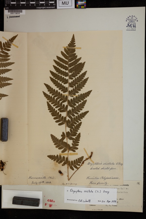 | Dryopteris cristata (L.) A.Gray | 1898 | Young, H.W. | Farmersville |
 | Cystopteris protrusa (Weath.) Blasdell | 1899 | Winkler, H.J. | "Dayton |
 | Ferrissia rivularis (Say, 1817) | 1904 | Allen, John | Brookville |
 | Peronospora parasitica (Pers.) De Bary | 1907 | Scheible, E. | Miamisburg |
 | Rhizoctonia DC. | 1907 | Gilbert W. W. | Germantown |
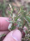 | Erysiphe polygoni DC. | 1908 | E. E. Hunean | Miamisburg |
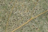 | Phyllactinia corylea (Pers.) P.Karst. | 1908 | see Collection Note | Miamisburg |
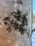 | Frullania eboracensis Lehm. | 1912 | Braun, Lucy E. | In ravine on the Bluffs |
| Frullania inflata Gottsche | 1912 | Braun, Lucy E. | Bluffs west of Calvary Cemetery | |
 | Porella platyphylloidea (Schwein.) Lindb. | 1912 | Braun, Lucy E. |
All 380 specimens within 10 miles, at the Global Biodiversity Information Facility.
Mines and quarries near this place
1 within 5 milesRegional context, not property-specific evidence. The federal mineral resources record lists 1 working within 5 miles of New Lebanon: 1 plant. All of them still produce. What was taken out: Stone, Crushed/Broken. Distance is straight-line from the map coordinates, so a quarry counted here may appear on a neighbouring settlement's page as well.
| Where | Site | Commodity | Status | Recorded |
|---|---|---|---|---|
| Olive Road Limestone Plant | Stone, Crushed/Broken | Plant |
Storms near this place
14 since 1999Regional context, not property-specific evidence. The National Weather Service names New Lebanon in 14 storm reports between 1999 and 2025: 8 hail, 4 thunderstorm wind, 1 flood, 1 flash flood. No death or injury is recorded in these reports. Each account below is quoted exactly as the forecast office filed it, from the NOAA Storm Events Database, and each date opens the federal record of that event.
| When | Event | Place named | Harm | What the report says |
|---|---|---|---|---|
| April 2017 | Thunderstorm Wind | New Lebanon | $6,000 | Several large limbs were knocked down. Also pieces of a barn's tin roof were blown off. |
| June 2025 | Thunderstorm Wind | New Lebanon | $5,000 | A large tree fell onto a house. |
| October 1999 | Thunderstorm Wind | New Lebanon | $5,000 | Trees and power lines knocked down. |
| January 2012 | Flood | New Lebanon | $1,000 | Roads were flooded in the area due to recent heavy rain. |
| March 2020 | Flash Flood | New Lebanon | - | Water was running across South Clayton Road between Eaton-Dayton Pike and Waite Avenue. |
| April 2018 | Hail | New Lebanon | - | The spotter also saw a rotating wall cloud. |
| July 2015 | Thunderstorm Wind | New Lebanon | - | Several large tree branches were downed. |
| April 2018 | Hail | New Lebanon | - | no account filed |
| May 2011 | Hail | New Lebanon | - | no account filed |
| April 2006 | Hail | New Lebanon | - | no account filed |
| June 2005 | Hail | New Lebanon | - | no account filed |
| May 2004 | Hail | New Lebanon | - | no account filed |
| May 2003 | Hail | New Lebanon | - | no account filed |
| May 2001 | Hail | New Lebanon | - | no account filed |
Nearest settlements
The eight closest, with where each one stands in the county. Distances are straight-line, computed from the Geographic Names Information System coordinates.
| Map | Place | Distance | Sheets |
|---|---|---|---|
| Voyager Village West | 1.6 miles | 13 | |
| Johnsville | 2.0 miles | 11 | |
| Amity | 3.2 miles | 13 | |
| Kreitzer Corner | 3.2 miles | 10 | |
| Liberty | 3.6 miles | 13 | |
| Hays Corner | 3.7 miles | 13 | |
| Little Richmond | 3.7 miles | 10 | |
| Six Mile | 3.9 miles | 13 |
Elsewhere
Matched on this settlement's Geographic Names Information System number rather than its name, so it cannot be a different place of the same name in another state.
| Wikipedia article on New Lebanon | An encyclopaedic summary. Its text is share-alike, so it is linked here rather than copied. |
| Wikidata item Q1957189 | The structured record the population and elevation above come from. Public domain (CC0). |
Provenance
This settlement is recorded in the Geographic Names Information System as feature 1065104. The sheet list is computed by point-in-boundary test against the United States Geological Survey's historical topographic inventory. Both are works of the United States government and carry no copyright under 17 U.S.C. 105.
Specimens. Global Biodiversity Information Facility (GBIF), https://www.gbif.org/. Only records licensed CC0 or CC BY are used. Records licensed CC BY-NC are excluded because this site carries advertising. Images are checked individually and any whose licence is non-commercial, no-derivatives or unreadable is refused.
Mines and quarries. USGS Mineral Resources Data System (MRDS) https://mrdata.usgs.gov/mrds/ A work of the United States government, no copyright under 17 U.S.C. 105.
Storms. NOAA National Centers for Environmental Information, Storm Events Database https://www.ncei.noaa.gov/stormevents/ A work of the United States government, no copyright under 17 U.S.C. 105. Narratives are quoted verbatim from the National Weather Service report and are not edited or summarised.