 Block
Block
Anna, Ohio
15 topographic sheets cover this place, the earliest surveyed in 1913 and the latest in 1986. It stands in Franklin Township. It lies in ZIP code area 45302. The Survey maps it on the Botkins quadrangle. 1,470 people lived here at the 2020 count. It stands 1,033 feet above sea level.
Population over time
2 figuresAnna fell from 1,567 to 1,470 between 2010 and 2020. These are the recorded population figures Wikidata holds for this place, reached through the Geographic Names Information System number this page is keyed on rather than by name, so they belong to this place and not to another of the same name. Most are census counts, but not all are: an early figure may be a founding or settlement estimate. The change column is computed, and is left blank where more than 20 years separate a figure from the one before it, because a gap that long is not a change between two counts.
| Year | People | Change |
|---|---|---|
| 2010 | 1,567 | |
| 2020 | 1,470 | -97 (-6%) |
Then and now
1913 to 1986The same ground, surveyed 73 years apart. Drag the handle to wipe between them. Both sheets are United States Geological Survey originals; neither has been altered.

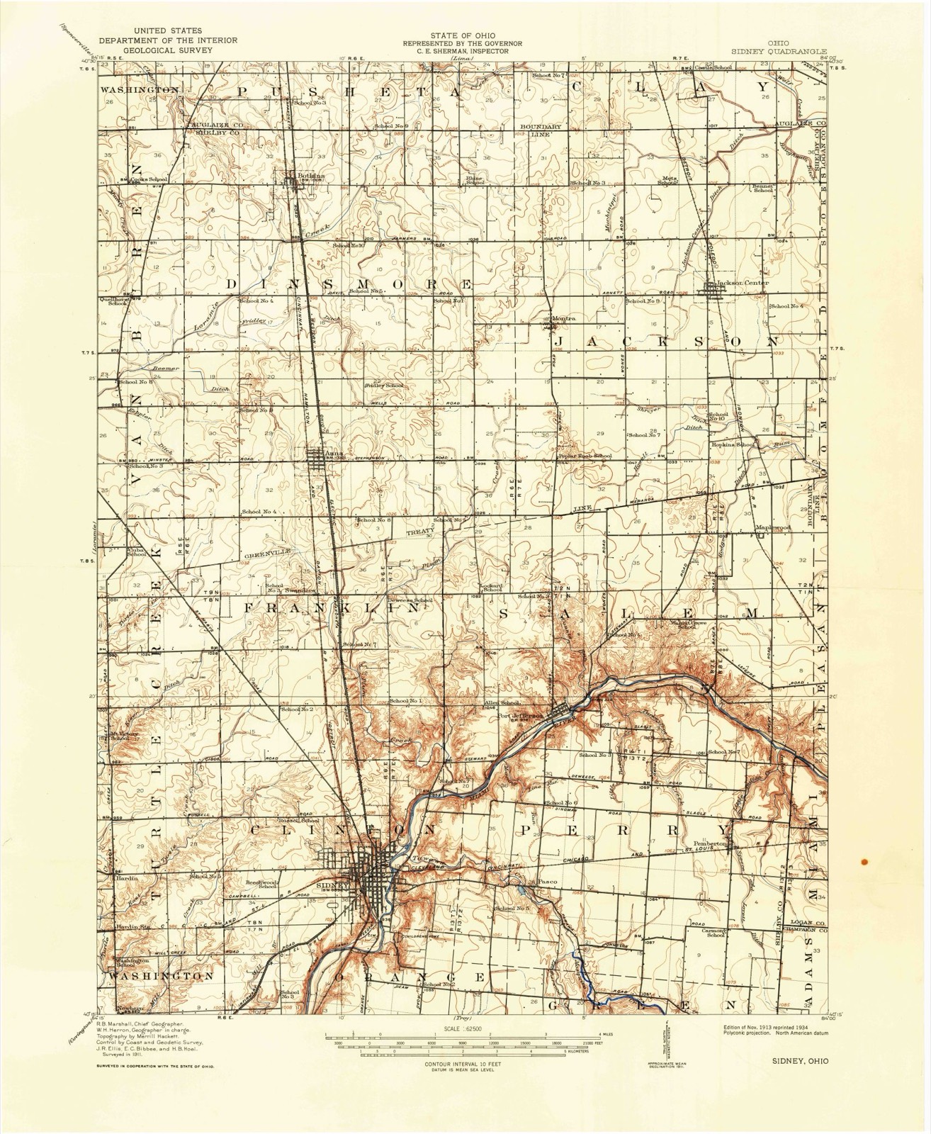
Topographic sheets covering this place
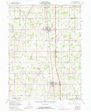
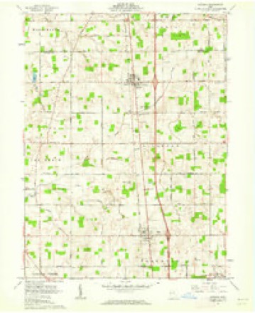
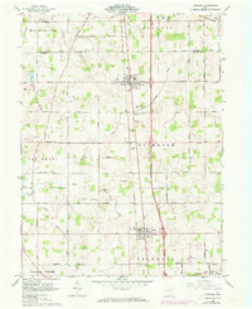
15 sheetsMatched by testing this settlement's coordinate against the published boundary of every sheet in the United States Geological Survey's historical collection. Each opens the scanned sheet at the Survey.
- 1913 USGS Sidney quadrangle1:62500
- 1913 USGS Sidney quadrangle1:62500
- 1944 USGS Sidney quadrangle1:62500
- 1953 USGS Muncie quadrangle1:250000
- 1953 USGS Muncie quadrangle1:250000
- 1953 USGS Muncie quadrangle1:250000
- 1953 USGS Muncie quadrangle1:250000
- 1953 USGS Muncie quadrangle1:250000
- 1956 USGS Muncie quadrangle1:250000
- 1961 USGS Botkins quadrangle1:24000
- 1961 USGS Botkins quadrangle1:24000
- 1961 USGS Botkins quadrangle1:24000
- 1986 USGS Piqua quadrangle1:100000
- 1986 USGS Piqua quadrangle1:100000
- 1986 USGS Piqua quadrangle1:100000









In the county-history sources
14,095 words on this townshipHistory of Shelby County, Ohio, published 1883 names this settlement in its chapter on Franklin Township. These are the passages that mention it, exactly as the scans read.
Franklin Township occupies a position in the second tier of townships from the north, and is crossed by the Greenville Treaty Line, leaving six full sections and six fractional sections on the north, and twelve full and four fractional sections on the south of said line. It is bounded on the north by Dinsmore Township; on the east by Jackson and Salem townships; on the south by Salem, Clinton, and Turtle Creek townships; and on the west by Turtle Creek and Van Burcn townships. It is drained by Plum Creek and its numerous branches and the eastern branches of Turtle Creek. The surface is generally level or slightly undulating. The soil of the township is very fertile and productive, composed principally of a black loam, but in certain localities large quantities of sand and gravel are found near the surface. The timber is generally good, and embraces nearly all of the best Ohio varieties. The Dayton and Michigan Railroad runs through the township from north to south, which has a station at Swander's Crossing, from which a considerable amount of shipping is done.
Passage source: History of Shelby County, Ohio, published 1883.
This society was organized in September, 1832, by Rev. John Pence, at the house of Jacob Schlosser,*with Jacob Schlosser and wife, James Swander and wife, David Swander and wife, Philip Swandcr and wife, Henry Swander and wife, Peter Hartman and wife, Jacob Woodring and wife, Joseph Carmany and wife, members of the organization. They held their meetings at the houses of the different members about two years, or until 1834, when, by the help of the Lutheran Soeietr - , which was organized in the neighborhood in 1832, a union building was erected near where the old brick church now stands in Franklin Township, on the Wapakoneta Pike, two and a half miles south of Anna. It was a hewed log structure, 25 by 30 feet. In this building the two societies met alternately, and held their meetings for a number of years, or until 1845, when the Reformed Society sold their interest in the building to the Lutheran Society; and during the fall and winter of 1846-7 the Reformed Church erected their present building, in which they have since met and worshipped. It is located in Franklin Township, on the Wapakoneta Pike, a short distance south of where the old log church stood.
Passage source: History of Shelby County, Ohio, published 1883.
The following will give the names of the different pastors and the length of time they remained: Revs. John Pence from 1832 until 1846; Frederick Stump from 1846 until 1850; John H. Buser from the fall of 1850 until the spring of 1853; Adam Stump from 1853 until Sept. 1856; Jacob Weaver from the spring of 1857 until 1860; W. B. Sandoe from 1860 until the spring of 1862; Samuel Shams from 1862 until 1864; Jeremiah Heller from 1864 until March, 1868; J. B. Thompson from 1868 until 1870; Hiram Shaul from March, 1871, until April, 1x75; .1. C. Beade from 1875 until April, 1881 ; B. F. Tucker from April, 1881, to the present time.
Passage source: History of Shelby County, Ohio, published 1883.
Machine-read from a century-old scan, so expect the errors a machine makes: misspelled names, dropped words, stray characters.
Read the whole chapter on Franklin Township - it names this place 19 more 19 times.
Specimens collected near this place
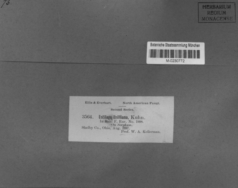
12 of 220 shownRegional context, not property-specific evidence. Museums hold 220 specimens collected within 10 miles of Anna between 1897 and 1970: 187 Animalia, 19 Fungi, 13 Plantae, 1 Unrecorded. 12 distinct Species records are shown. Collected by A. R. Gaufin, A.R. Gaufin, A.R. Gaufin, H.H. Ross and others. Each is a physical object with a catalogue number, and each entry opens the museum's record. This is what was collected and kept, not a survey of what lives here - nothing can be concluded from a species being absent.
| Image | Species | Year | Collected by | Where, as recorded |
|---|---|---|---|---|
 | Sorghum Moench | 1897 | Kellerman, W.A. | Shelby Co., Ohio. |
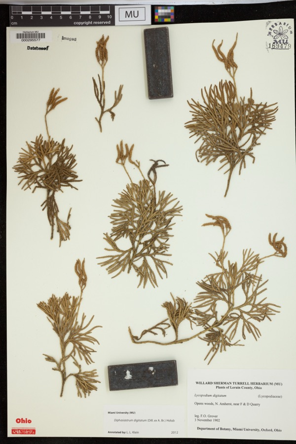 | Diphasiastrum digitatum (Dill. ex A.Braun) Holub | 1902 | Grover, F.O. | Opens woods, N. Amherst, near F & D Quarry |
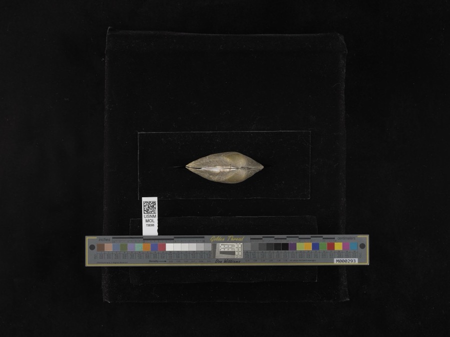 | Fusconaia flava (Rafinesque, 1820) | 1939 | not recorded | Miami River |
| unnamed | 1897 | WA Kellerman | Shelby County | |
 | Carex shortiana Dewey & Torr. | 1897 | Wetzstein, A. | |
| Sorosporium reilianum (J.G.Kühn) McAlpine | 1897 | W. A. Kellerman | ||
 | Sphacelotheca reiliana (J.G.Kühn) G.P.Clinton | 1897 | Kellerman W. A. | Shelby Co. |
 | Ustilago reiliana J.G.Kühn | 1897 | Kellerman, W.A. | Shelby County, Ohio. |
 | Accipiter cooperii (Bonaparte, 1828) | 1904 | Henninger, W. F. (Walther Frederick) | New Bremen, Shelby, Ohio, USA |
 | Campostoma anomalum pullum (Agassiz, 1854) | 1905 | Clark, C. F. (Clarence F.) | Muddy Creek, section 27 Washington Township, estimated 3 miles N of Kettlersville OH, Washington Township |
 | Catostomus commersonii (Lacepède, 1803) | 1905 | Clark, C. F. (Clarence F.) | Muddy Creek, section 27 Washington Township, estimated 3 miles N of Kettlersville OH, Washington Township |
 | Ericymba buccata Cope, 1865 | 1905 | Clark, C. F. (Clarence F.) | Muddy Creek, section 27 Washington Township, estimated 3 miles N of Kettlersville OH, Washington Township |
All 220 specimens within 10 miles, at the Global Biodiversity Information Facility.
Storms near this place
24 since 1998Regional context, not property-specific evidence. The National Weather Service names Anna in 24 storm reports between 1998 and 2026: 8 thunderstorm wind, 7 hail, 3 flood, 3 tornado. The reports record 1 injury. Each account below is quoted exactly as the forecast office filed it, from the NOAA Storm Events Database, and each date opens the federal record of that event.
| When | Event | Place named | Harm | What the report says |
|---|---|---|---|---|
| July 1999 | Lightning | Anna | 1 hurt, $20,000 | Lightning struck a barn causing a damaging fire. It also struck a man who received minor injuries. |
| March 2026 | Tornado (EF0) | Anna | $60,000 | The first evidence of tornadic damage was on Wenger Road, where two barns were destroyed. Numerous trees were uprooted or snapped and a residence had minor roof damage. Additional damage was noted along Amsterdam Road where a roof was lifted off of a barn and several trees were uprooted. Farther east, more trees were uprooted and a garage was damaged along County Road 25A. The tornado dissipated just west of I-75. |
| March 2026 | Tornado (EF0) | Anna | $60,000 | The first tornadic damage occurred along Wells Road, just west of County Road 25A, where a RV was overturned and a pair of properties sustained siding damage. Additionally, two trees were downed along County Road 25A. The tornado then crossed I-75, where it blew two tractor trailers over onto their sides. The tornado then crossed Highland Kies Road, where it blew down a tree, destroyed a shed, and blew shingles off of a residence and garage. Finally, the tornado destroyed a large outbuilding on Sidney Freyburg Road south of Amsterdam Road before dissipating. |
| July 2012 | Thunderstorm Wind | Anna | $30,000 | A barn was blown down near Anna due to thunderstorm winds. Trees and power lines were also downed across the county. |
| May 2011 | Thunderstorm Wind | Anna | $10,000 | A tree was uprooted and a roof was blown off of a barn due to damaging thunderstorm winds. |
| June 1998 | Thunderstorm Wind | Anna | $10,000 | Many trees and power lines downed from winds that were measured at 67 mph. |
| May 2025 | Thunderstorm Wind | Anna | $8,000 | Several trees, along with power poles and lines, were downed in the area. |
| July 2025 | Tornado (EF0) | Anna | $5,000 | Video evidence revealed that the tornado first began east of Sidney-Freyburg Road, just south of Wells Road. The tornado then continued north near Lochard Road, where damage to corn fields and some minor tree damage was observed. The tornado is believed to have dissipated just east of Lochard Road. |
| August 2006 | Hail | Anna | $5,000 | no account filed |
| July 2008 | Thunderstorm Wind | Anna | $3,000 | Trees and power lines were downed. |
| June 2006 | Thunderstorm Wind | Anna | $3,000 | A few trees were knocked down. Penny size hail also occurred. |
| August 2003 | Thunderstorm Wind | Anna | $3,000 | Trees were downed. |
| April 2025 | Flood | Anna | - | High water was reported in the 12000 block of State Route 119. |
| July 2025 | Flash Flood | Anna | - | County Road 25A near State Route 274 was closed due to water flowing over the road. |
| September 2020 | Flood | Anna | - | High water was reported in the 15000 block of Amsterdam Road. |
| June 2015 | Flood | Anna | - | Brookside Drive was closed in the 100 block due to high water. |
| July 2014 | Hail | Anna | - | Quarter to golf ball sized hail fell with a few hail stones as large as tennis balls. |
| April 2006 | Flash Flood | Anna | - | Several roads were flooded. |
| March 2012 | Hail | Anna | - | no account filed |
| March 2012 | Hail | Anna | - | no account filed |
| November 2011 | Hail | Anna | - | no account filed |
| September 2009 | Hail | Anna | - | no account filed |
| May 2001 | Hail | Anna | - | no account filed |
| June 2000 | Thunderstorm Wind | Anna | - | no account filed |
Nearest settlements
The eight closest, with where each one stands in the county. Distances are straight-line, computed from the Geographic Names Information System coordinates.
| Map | Place | Distance | Sheets |
|---|---|---|---|
| Swanders | 2.3 miles | 15 | |
| Rumley | 4.0 miles | 15 | |
| Northumberland (historical) | 4.1 miles | 15 | |
| McCartyville | 4.4 miles | 15 | |
| Montra | 4.9 miles | 15 | |
| Botkins | 5.1 miles | 15 | |
| Kettlersville | 5.6 miles | 15 | |
| Uno | 6.0 miles | 14 |
Elsewhere
Matched on this settlement's Geographic Names Information System number rather than its name, so it cannot be a different place of the same name in another state.
| Wikipedia article on Anna | An encyclopaedic summary. Its text is share-alike, so it is linked here rather than copied. |
| Wikidata item Q2303540 | The structured record the population and elevation above come from. Public domain (CC0). |
Provenance
This settlement is recorded in the Geographic Names Information System as feature 1064331. The sheet list is computed by point-in-boundary test against the United States Geological Survey's historical topographic inventory. Both are works of the United States government and carry no copyright under 17 U.S.C. 105.
Specimens. Global Biodiversity Information Facility (GBIF), https://www.gbif.org/. Only records licensed CC0 or CC BY are used. Records licensed CC BY-NC are excluded because this site carries advertising. Images are checked individually and any whose licence is non-commercial, no-derivatives or unreadable is refused.
Storms. NOAA National Centers for Environmental Information, Storm Events Database https://www.ncei.noaa.gov/stormevents/ A work of the United States government, no copyright under 17 U.S.C. 105. Narratives are quoted verbatim from the National Weather Service report and are not edited or summarised.