 Block
Block
Botkins, Ohio
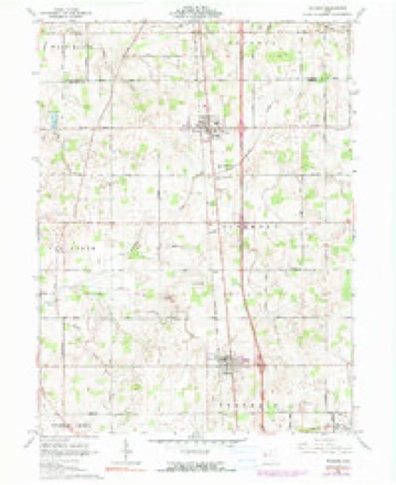
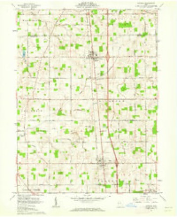
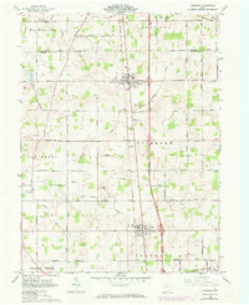
15 topographic sheets cover this place, the earliest surveyed in 1913 and the latest in 1986. It stands in Dinsmore Township. It lies in ZIP code area 45306. The Survey maps it on the Botkins quadrangle. 1,155 people lived here at the 2020 count. It stands 1,001 feet above sea level.
Population over time
2 figuresBotkins grew from 1,155 to 1,155 between 2010 and 2020. These are the recorded population figures Wikidata holds for this place, reached through the Geographic Names Information System number this page is keyed on rather than by name, so they belong to this place and not to another of the same name. Most are census counts, but not all are: an early figure may be a founding or settlement estimate. The change column is computed, and is left blank where more than 20 years separate a figure from the one before it, because a gap that long is not a change between two counts.
| Year | People | Change |
|---|---|---|
| 2010 | 1,155 | |
| 2020 | 1,155 | 0 (0%) |
Then and now
1913 to 1986The same ground, surveyed 73 years apart. Drag the handle to wipe between them. Both sheets are United States Geological Survey originals; neither has been altered.

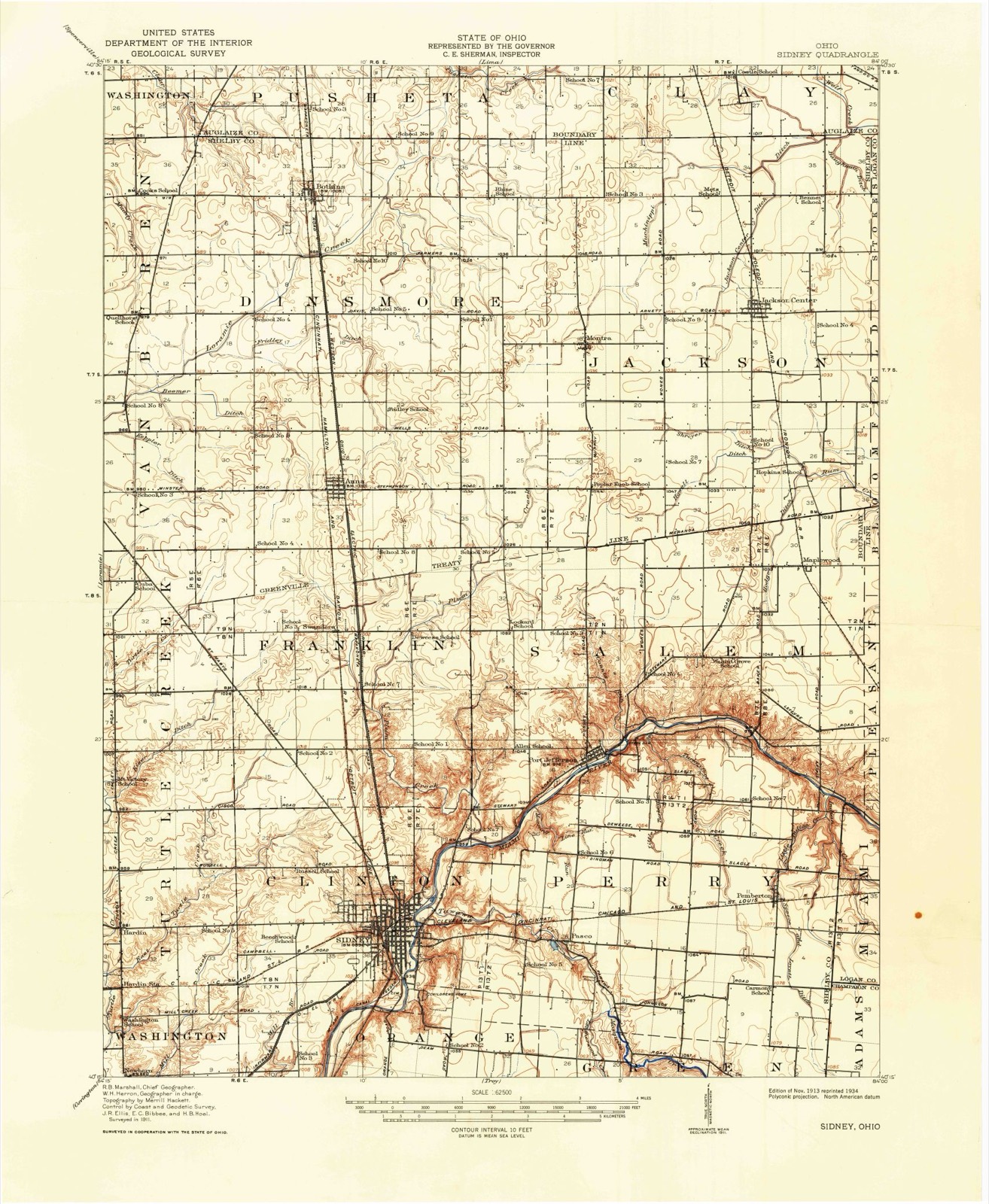
Topographic sheets covering this place
15 sheetsMatched by testing this settlement's coordinate against the published boundary of every sheet in the United States Geological Survey's historical collection. Each opens the scanned sheet at the Survey.
- 1913 USGS Sidney quadrangle1:62500
- 1913 USGS Sidney quadrangle1:62500
- 1944 USGS Sidney quadrangle1:62500
- 1953 USGS Muncie quadrangle1:250000
- 1953 USGS Muncie quadrangle1:250000
- 1953 USGS Muncie quadrangle1:250000
- 1953 USGS Muncie quadrangle1:250000
- 1953 USGS Muncie quadrangle1:250000
- 1956 USGS Muncie quadrangle1:250000
- 1961 USGS Botkins quadrangle1:24000
- 1961 USGS Botkins quadrangle1:24000
- 1961 USGS Botkins quadrangle1:24000
- 1986 USGS Piqua quadrangle1:100000
- 1986 USGS Piqua quadrangle1:100000
- 1986 USGS Piqua quadrangle1:100000









In the county-history sources
90,739 words on this townshipHistory of Shelby County, Ohio, published 1883 names this settlement in its chapter on Dinsmore Township. These are the passages that mention it, exactly as the scans read.
The township is bounded north by Auglaize County, east by Jackson, south by Franklin, and west by Van Buren townships. It contains an area of thirty-six square miles. It is crossed north and south within two miles of the west line by the Dayton and Michigan Railroad. Within one mile of the north line Botkins station is located, while Anna station is on the south-line, the village extending into Franklin Township. Small streams take their rise in the township, and, flowing west by south, afford drainage and an outlet to Loramie Reservoir in Van Buren and McLean townships.
Passage source: History of Shelby County, Ohio, published 1883.
The surface of the township is level throughout, and the soil is of an excellent quality. Improvements have gone on apace, and although the township was a late organization, it has enjoyed a rapid and satisfactory development. The people are industrious, frugal, and energetic, as shown by the houses and farms of the people. School-houses and churches, saw-mills and tile factories are seen throughout the township, while institutions and enterprises of various characters are properly represented. Two live and thriving villages, Anna and Botkins, are within the township, the former at the south line, and the latter near the north side of the township. Both are important stations on the Dayton and Michigan Railroad, and both enjoy an extensive local trade. Another village, Northumberland, was laid out in the township years ago, but proved too transitory for continued growth and life.
Passage source: History of Shelby County, Ohio, published 1883.
Anna was surveyed for John L. and Fletcher Thirkield, and lies in section 28, town. 7 south, range 6 east, as surveyed in 1867. Main Street bears north 87° 20' east, and is thirty feet wide north of the section. All other lines parallel to or at right angles with Main Street. The alleys are each one rod wide. First Street is thirty feet, North forty feet, Second sixty feet, and Third sixty feet in width. The plat contained sixteen lots, and was acknowledged by John L. and Fletcher S. Thirkield May 20, 1867, and recorded April 25, 1868.
Passage source: History of Shelby County, Ohio, published 1883.
Machine-read from a century-old scan, so expect the errors a machine makes: misspelled names, dropped words, stray characters.
Read the whole chapter on Dinsmore Township - it names this place 43 more 43 times.
Specimens collected near this place
12 of 116 shownRegional context, not property-specific evidence. Museums hold 116 specimens collected within 10 miles of Botkins between 1897 and 1970: 99 Animalia, 15 Fungi, 1 Plantae, 1 Unrecorded. 12 distinct Species records are shown. Collected by C. Clark, C. Clark & R. Rhoades, Clark, C. F. (Clarence F.) and others. Each is a physical object with a catalogue number, and each entry opens the museum's record. This is what was collected and kept, not a survey of what lives here - nothing can be concluded from a species being absent.
| Image | Species | Year | Collected by | Where, as recorded |
|---|---|---|---|---|
| unnamed | 1897 | WA Kellerman | Shelby County | |
| Sorosporium reilianum (J.G.Kühn) McAlpine | 1897 | W. A. Kellerman | ||
 | Sphacelotheca reiliana (J.G.Kühn) G.P.Clinton | 1897 | Kellerman W. A. | Shelby Co. |
 | Ustilago reiliana J.G.Kühn | 1897 | Kellerman, W.A. | Shelby County, Ohio. |
 | Accipiter cooperii (Bonaparte, 1828) | 1904 | Henninger, W. F. (Walther Frederick) | New Bremen, Shelby, Ohio, USA |
 | Campostoma anomalum pullum (Agassiz, 1854) | 1905 | Clark, C. F. (Clarence F.) | Muddy Creek, section 27 Washington Township, estimated 3 miles N of Kettlersville OH, Washington Township |
 | Catostomus commersonii (Lacepède, 1803) | 1905 | Clark, C. F. (Clarence F.) | Muddy Creek, section 27 Washington Township, estimated 3 miles N of Kettlersville OH, Washington Township |
 | Ericymba buccata Cope, 1865 | 1905 | Clark, C. F. (Clarence F.) | Muddy Creek, section 27 Washington Township, estimated 3 miles N of Kettlersville OH, Washington Township |
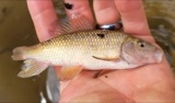 | Erimyzon oblongus claviformis (Girard, 1856) | 1905 | Clark, C. F. (Clarence F.) | Muddy Creek, section 27 Washington Township, estimated 3 miles N of Kettlersville OH, Washington Township |
 | Etheostoma nigrum Rafinesque, 1820 | 1905 | Clark, C. F. (Clarence F.) | Muddy Creek, section 27 Washington Township, estimated 3 miles N of Kettlersville OH, Washington Township |
 | Fundulus notatus (Rafinesque, 1820) | 1905 | Clark, C. F. (Clarence F.) | Muddy Creek, section 27 Washington Township, estimated 3 miles N of Kettlersville OH, Washington Township |
| Hadropterus maculatus Girard, 1859 | 1905 | Clark, C. F. (Clarence F.) | Muddy Creek, section 27 Washington Township, estimated 3 miles N of Kettlersville OH, Washington Township |
All 116 specimens within 10 miles, at the Global Biodiversity Information Facility.
Storms near this place
27 since 1996Regional context, not property-specific evidence. The National Weather Service names Botkins in 27 storm reports between 1996 and 2025: 10 thunderstorm wind, 7 hail, 7 flood, 3 flash flood. No death or injury is recorded in these reports. Each account below is quoted exactly as the forecast office filed it, from the NOAA Storm Events Database, and each date opens the federal record of that event.
| When | Event | Place named | Harm | What the report says |
|---|---|---|---|---|
| May 2019 | Flash Flood | Botkins | $100,000 | Flowing water was completely covering Botkins Road and Sidney Freyburg Road. Several homes were also flooded in the Botkins area. |
| August 2011 | Thunderstorm Wind | Botkins | $35,000 | Two power poles and a silo were blown over. One tree was reported down and another was broken. These occurrences were due to damaging thunderstorm winds. |
| July 2005 | Thunderstorm Wind | Botkins | $25,000 | Five homes sustained roof damage and a barn was destroyed to the southwest of Botkins. A semi-trailer was flipped on its side and numerous trees were knocked down, including a few on houses. The damage was from a possible microburst. |
| July 1997 | Thunderstorm Wind | Botkins | $20,000 | Roof blown off a barn and numerous trees downed. |
| June 2013 | Thunderstorm Wind | Botkins | $15,000 | Roofs were damaged and a barn wall collapsed due to thunderstorm winds. |
| June 2017 | Thunderstorm Wind | Botkins | $5,000 | Two trees were reported knocked down along with damage to the siding of a barn. |
| March 2011 | Flood | Botkins | $5,000 | Roads were covered with water due to heavy rainfall in the area and previous snow melt. Flooding began around 0215 EST on February 28th and ended around 0900 EST on March 2nd. Damage estimates from February were around five-thousand dollars. |
| February 2011 | Flood | Botkins | $5,000 | Roads were covered with water due to heavy rainfall in the area and previous snow melt. Flooding began around 0215 EST on February 28th and ended around 0900 EST on March 2nd. Damage estimates from March were around five-thousand dollars. |
| May 2025 | Thunderstorm Wind | Botkins | $3,000 | Several trees were downed along the roadway. |
| May 2019 | Flood | Botkins | $3,000 | A vehicle became stranded in high water on State Route 274 near Wenger Road, resulting in a water rescue. |
| October 1996 | Thunderstorm Wind | Botkins | $3,000 | no account filed |
| June 2017 | Thunderstorm Wind | Botkins | $2,000 | Several trees were knocked down in the Botkins area. |
| July 2025 | Flash Flood | Botkins | - | County Road 25 had water swiftly flowing across it. |
| June 2019 | Flood | Botkins | - | High water was reported in Botkins. |
| June 2019 | Flood | Botkins | - | Several roads were closed in the Botkins area due to high water. |
| June 2019 | Flood | Botkins | - | High water was reported in the Botkins area, causing a road to be closed. |
| June 2017 | Flood | Botkins | - | High water was reported in several places in the Botkins area. |
| July 2017 | Flash Flood | Botkins | - | Several inches of water was flowing over a portion of Route 25A north of Anna, making the road impassable. |
| July 2014 | Hail | Botkins | - | no account filed |
| April 2013 | Hail | Botkins | - | no account filed |
| April 2013 | Hail | Botkins | - | no account filed |
| June 2010 | Hail | Botkins | - | no account filed |
| April 2006 | Thunderstorm Wind | Botkins | - | no account filed |
| June 2004 | Hail | Botkins | - | no account filed |
| August 2003 | Thunderstorm Wind | Botkins | - | no account filed |
| May 1998 | Hail | Botkins | - | no account filed |
| June 1996 | Hail | Botkins | - | no account filed |
Nearest settlements
The eight closest, with where each one stands in the county. Distances are straight-line, computed from the Geographic Names Information System coordinates.
| Map | Place | Distance | Sheets |
|---|---|---|---|
| Northumberland (historical) | 1.0 miles | 15 | |
| Kettlersville | 4.7 miles | 15 | |
| Rumley | 5.0 miles | 15 | |
| Anna | 5.1 miles | 15 | |
| Montra | 5.2 miles | 15 | |
| McCartyville | 6.4 miles | 15 | |
| Swanders | 7.4 miles | 15 | |
| Jackson Center | 7.7 miles | 15 |
Elsewhere
Matched on this settlement's Geographic Names Information System number rather than its name, so it cannot be a different place of the same name in another state.
| Wikipedia article on Botkins | An encyclopaedic summary. Its text is share-alike, so it is linked here rather than copied. |
| Wikidata item Q512794 | The structured record the population and elevation above come from. Public domain (CC0). |
Provenance
This settlement is recorded in the Geographic Names Information System as feature 1064469. The sheet list is computed by point-in-boundary test against the United States Geological Survey's historical topographic inventory. Both are works of the United States government and carry no copyright under 17 U.S.C. 105.
Specimens. Global Biodiversity Information Facility (GBIF), https://www.gbif.org/. Only records licensed CC0 or CC BY are used. Records licensed CC BY-NC are excluded because this site carries advertising. Images are checked individually and any whose licence is non-commercial, no-derivatives or unreadable is refused.
Storms. NOAA National Centers for Environmental Information, Storm Events Database https://www.ncei.noaa.gov/stormevents/ A work of the United States government, no copyright under 17 U.S.C. 105. Narratives are quoted verbatim from the National Weather Service report and are not edited or summarised.