 Block
Block
Arcadia, Ohio
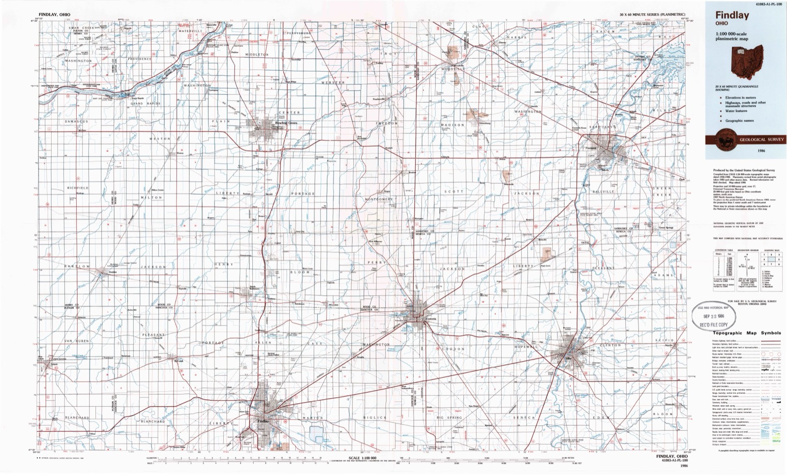
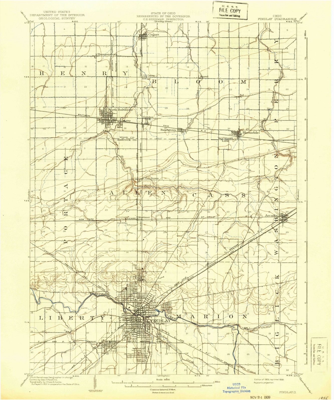
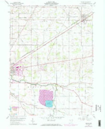
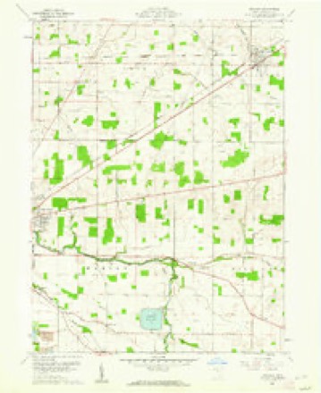
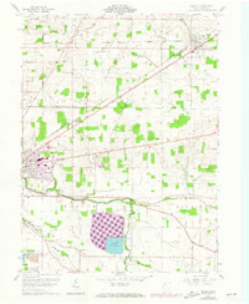
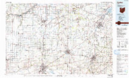
12 topographic sheets cover this place, the earliest surveyed in 1903 and the latest in 1986. It stands in Washington Township. It lies in ZIP code area 44804. The Survey maps it on the Arcadia quadrangle. 564 people lived here at the 2020 count. It stands 807 feet above sea level.
Population over time
2 figuresArcadia fell from 590 to 564 between 2010 and 2020. These are the recorded population figures Wikidata holds for this place, reached through the Geographic Names Information System number this page is keyed on rather than by name, so they belong to this place and not to another of the same name. Most are census counts, but not all are: an early figure may be a founding or settlement estimate. The change column is computed, and is left blank where more than 20 years separate a figure from the one before it, because a gap that long is not a change between two counts.
| Year | People | Change |
|---|---|---|
| 2010 | 590 | |
| 2020 | 564 | -26 (-4%) |
Then and now
1903 to 1986The same ground, surveyed 83 years apart. Drag the handle to wipe between them. Both sheets are United States Geological Survey originals; neither has been altered.
Compare 1903 against another survey:
Topographic sheets covering this place
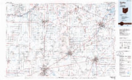
12 sheetsMatched by testing this settlement's coordinate against the published boundary of every sheet in the United States Geological Survey's historical collection. Each opens the scanned sheet at the Survey.
- 1903 USGS Findlay quadrangle1:62500
- 1903 USGS Findlay quadrangle1:62500
- 1956 USGS Toledo quadrangle1:250000
- 1956 USGS Toledo quadrangle1:250000
- 1956 USGS Toledo quadrangle1:250000
- 1956 USGS Toledo quadrangle1:250000
- 1960 USGS Arcadia quadrangle1:24000
- 1960 USGS Arcadia quadrangle1:24000
- 1960 USGS Arcadia quadrangle1:24000
- 1961 USGS Toledo quadrangle1:250000
- 1986 USGS Findlay quadrangle1:100000
- 1986 USGS Findlay quadrangle1:100000





In the county-history sources
11,762 words on this townshipHistory of Hancock County [Ohio] from Its Earliest Settlement to the Present Time, Together with Remeiniscenses of Pioneer Life, Incidents, Statistical Tables, and Biographical Sketches, published 1881 names this settlement in its chapter on Washington Township. These are the passages that mention it, exactly as the scans read.
At the meeting of the County Commissioners, on the 5th day of March, 1832, Charles McKinnis and Robert L. Strother, two of the Commissioners being present, the following record was made : " It appearing to the Board of Commissioners necessary, they have set off the original township two north, in range twelve east, which shall be a body corporate and politic, and known by the name of Washington Township."
Passage source: History of Hancock County [Ohio] from Its Earliest Settlement to the Present Time, Together with Remeiniscenses of Pioneer Life, Incidents, Statistical Tables, and Biographical Sketches, published 1881.
The first entry of land in this township was made November 24th, 1830, by Joseph Long, of Fairfield County, Ohio, who made entry of the west half of the north-west quarter oi section four, and on the same day, Caleb Roller, of the same county, entered the east half of the south-east quarter of section five.
Passage source: History of Hancock County [Ohio] from Its Earliest Settlement to the Present Time, Together with Remeiniscenses of Pioneer Life, Incidents, Statistical Tables, and Biographical Sketches, published 1881.
This township, like almost all the others in the county,, was very heavily timbered, indeed, was a dense forest. The principal kind of timber were white, red, burr and swamp oak; white, red and hickory elm; white, black and blue ash ;; white and black walnut; wild cherry; hard and soft maple; beech, shellbark and white hickory, basswood, cottonwood, sycamore and buckeye. In the early settlement of the township, nearly all this timber was valueless except for fencing, and was regarded as a serious drawback in improvments, but such is the demand for timber at this day, that such as was then destroyed, utterly wasted, would now bring fortunes to the lucky owners.
Passage source: History of Hancock County [Ohio] from Its Earliest Settlement to the Present Time, Together with Remeiniscenses of Pioneer Life, Incidents, Statistical Tables, and Biographical Sketches, published 1881.
Machine-read from a century-old scan, so expect the errors a machine makes: misspelled names, dropped words, stray characters.
Read the whole chapter on Washington Township - it names this place 18 more 18 times.
Fires near this place
2 since 2002Regional context, not property-specific evidence. The federal wildfire occurrence database lists 2 fires within 5 miles of Arcadia between 2002 and 2002, burning about 0 acres in total. None started naturally. None was recorded as arson. Distance is straight-line from the map coordinates, so a fire counted here may appear on a neighbouring settlement's page as well.
| Reported cause | Fires |
|---|---|
| Missing data/not specified/undetermined | 2 |
The most recent of them, most recent first, with the day each was reported and the service that recorded it.
| Date | Cause | Size | Reported by | Name on the report |
|---|---|---|---|---|
| 19 August 2002 | Missing data/not specified/undetermined | under an acre | Ohio State Fire Marshal's Office | not named |
| 13 July 2002 | Missing data/not specified/undetermined | under an acre | Ohio State Fire Marshal's Office | not named |
Settlements close enough to share some of these fires:
Specimens collected near this place
12 of 187 shownRegional context, not property-specific evidence. Museums hold 187 specimens collected within 10 miles of Arcadia between 1883 and 1975: 177 Animalia, 10 Fungi. 12 distinct Species records are shown. Collected by CLARENCE CLARK, Collector(s): David E. Ferguson, D.C. Eades and others. Each is a physical object with a catalogue number, and each entry opens the museum's record. This is what was collected and kept, not a survey of what lives here - nothing can be concluded from a species being absent.
| Image | Species | Year | Collected by | Where, as recorded |
|---|---|---|---|---|
 | Notropis boops Gilbert, 1884 | 1883 | Kirsch, P. H | Blanchard River, Findlay |
 | Esox americanus vermiculatus Lesueur, 1846 | 1893 | P. Kirsch | Blanchard River, Findlay, Ohio |
 | Micropterus dolomieu Lacepède, 1802 | 1893 | P. Kirsch | Blanchard River, Findley, Ohio |
 | Regina septemvittata (Say, 1825) | 1893 | not recorded | Findlay, Blanchard River |
 | Fusarium culmorum (Wm.G.Sm.) Sacc. | 1919 | Lewis H. L. | Findlay |
| Helminthosporium gramineum Rabenh. ex Schltdl. | 1919 | Lewis H. L. | Findlay | |
 | Helminthosporium sorokinianum Sacc. | 1919 | Lewis H. L. | Findlay |
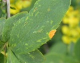 | Puccinia graminis Pers. | 1919 | Lewis H. L. | Findlay |
 | Etheostoma blennioides blennioides Rafinesque, 1819 | 1929 | Trautman, M. B. (Milton Bernard) | The Outlet of Springville Marsh, within Biglick township, near Vanlue, Biglick township |
| Gibberella saubinetii (Durieu & Mont.) Sacc. | 1929 | Dickson J. S. | Findlay | |
 | Ictalurus natalis (Lesueur, 1819) | 1929 | Trautman, M. B. (Milton Bernard) | The Outlet of Springville Marsh, within Biglick township, near Vanlue, Biglick township |
 | Pimephales notatus (Rafinesque, 1820) | 1929 | Trautman, M. B. (Milton Bernard) | The Outlet of Springville Marsh, within Biglick township, near Vanlue, Biglick township |
All 187 specimens within 10 miles, at the Global Biodiversity Information Facility.
Storms near this place
13 since 1999Regional context, not property-specific evidence. The National Weather Service names Arcadia in 13 storm reports between 1999 and 2025: 10 thunderstorm wind, 2 tornado, 1 hail. The reports record 6 injuries. Each account below is quoted exactly as the forecast office filed it, from the NOAA Storm Events Database, and each date opens the federal record of that event.
| When | Event | Place named | Harm | What the report says |
|---|---|---|---|---|
| May 2008 | Tornado (EF2) | Arcadia | 6 hurt, $1,000,000 | A tornado touched down in northeastern Hancock County about two miles southwest of Arcadia near the intersection of Township Roads 214 and 254. The tornado continued northeast for about six miles before moving into Seneca County on the south end of Fostoria. The total tornado path length was over eight miles. The track was parallel to State Route 12 and about a mile to the south of the road. The tornado was initially an EF1 but strengthened to EF2 intensity after crossing County Road 330. The tornado returned to EF1 intensity just before reaching County Road 23 on the southwest edge of Fostoria. The damage path had a maximum width of around 100 yards. Around a dozen properties sustained damage from this tornado. At least two homes were destroyed with several others heavily damaged. Many outbuildings were also damaged. Hundreds of trees were toppled along the damage path. At least six people were treated at a Fostoria hospital for cuts and bruises. |
| November 2002 | Tornado (F2) | Arcadia | $11,000,000 | An F1 tornado touched down to the northeast of Arcadia in northeastern Hancock County. The initial touchdown occurred just south of State Route 12 and to the east of County Road 330. From this location the tornado moved northeast and strengthened to F2 intensity as it entered the southwest end of Fostoria. Two businesses were heavily damaged on the outskirts of Fostoria along State Route 12. One of the two, a fertilizer business, had two of it's four buildings completely leveled and the remaining two heavily damaged. A nearby gas storage facility had two large storage tanks damaged. Nearby, the tornado derailed two railroad cars near the West Tiffin Street crossing and toppled 19 high voltage transmission poles interrupting power for a large area. Extensive damage was done to neighborhoods on the southwest side of Tiffin with Jeannette Drive, Vickie Lane and West Tiffin Streets hardest hit. As the tornado neared downtown Fostoria it tore the roof off of a high school which allowed rain water to enter the building and damage all three floors. Total damage to the school was estimated to be well over $500,000. Just east of the school, the community hospital was hit and sustained over $1 million in damage. The tornado lifted just east of the hospital and touched down a second time on the northeast side of Fostoria (Seneca County). In Fostoria, eight homes were destroyed with nine more homes damaged enough to be declared uninhabitable. An additional 60 to 70 homes sustained minor damage with dozens of cars damaged in varying amounts. Hundreds of trees and power poles were downed along the damage path which was around 50 yards in width. |
| May 1999 | Thunderstorm Wind | Arcadia | $50,000 | A barn was destroyed in the northeast part of the county near the Wood County line. |
| June 2008 | Thunderstorm Wind | Arcadia | $40,000 | Many trees were uprooted and a barn was destroyed by thunderstorm winds. |
| June 2014 | Thunderstorm Wind | Arcadia | $35,000 | Thunderstorm winds downed several trees and at least two utility poles west of Fostoria in extreme northeast Hancock County. |
| July 2003 | Thunderstorm Wind | Arcadia | $15,000 | Thunderstorm winds downed several large trees limbs and a power pole near Arcadia. |
| June 2020 | Thunderstorm Wind | Arcadia | $5,000 | A social media report revealed several trees were downed in the Arcadia area. |
| August 2019 | Thunderstorm Wind | Arcadia | $2,000 | A barn was destroyed and some trees were blown down near Fostoria. |
| May 2017 | Thunderstorm Wind | Arcadia | $1,000 | Thunderstorm winds downed a tree. |
| June 2025 | Thunderstorm Wind | Arcadia | - | Mesonet station in Arcadia recorded a peak straight-line convective wind gust of 71-mph from a line of thunderstorms. |
| August 2024 | Thunderstorm Wind | Arcadia | - | Mesonet station in Arcadia recorded a peak convective wind gust of 61-mph from thunderstorms. |
| August 2019 | Thunderstorm Wind | Arcadia | - | A tree was blown down near Highway 224. |
| May 2006 | Hail | Arcadia | - | Nickel size hail was observed. |
Nearest settlements
The eight closest, with where each one stands in the county. Distances are straight-line, computed from the Geographic Names Information System coordinates.
| Map | Place | Distance | Sheets |
|---|---|---|---|
| Wineland (historical) | 4.0 miles | 12 | |
| West Independence | 4.6 miles | 11 | |
| Westgate Village Park | 5.7 miles | 11 | |
| Eastowne Estates | 6.0 miles | 12 | |
| Chateau East | 6.0 miles | 12 | |
| Highland Estates | 6.8 miles | 13 | |
| Cedar Tree Estates | 7.0 miles | 13 | |
| Mortimer | 7.1 miles | 13 |
Elsewhere
Matched on this settlement's Geographic Names Information System number rather than its name, so it cannot be a different place of the same name in another state.
| Wikipedia article on Arcadia | An encyclopaedic summary. Its text is share-alike, so it is linked here rather than copied. |
| Wikidata item Q2499360 | The structured record the population and elevation above come from. Public domain (CC0). |
Provenance
This settlement is recorded in the Geographic Names Information System as feature 1064338. The sheet list is computed by point-in-boundary test against the United States Geological Survey's historical topographic inventory. Both are works of the United States government and carry no copyright under 17 U.S.C. 105.
Wildfire. Short, Karen C. 2022. Spatial wildfire occurrence data for the United States, 1992-2020 [FPA_FOD_20221014]. 6th Edition. Fort Collins, CO: Forest Service Research Data Archive. https://doi.org/10.2737/RDS-2013-0009.6 Collected with United States Government funding and usable without additional permissions or fees.
Specimens. Global Biodiversity Information Facility (GBIF), https://www.gbif.org/. Only records licensed CC0 or CC BY are used. Records licensed CC BY-NC are excluded because this site carries advertising. Images are checked individually and any whose licence is non-commercial, no-derivatives or unreadable is refused.
Storms. NOAA National Centers for Environmental Information, Storm Events Database https://www.ncei.noaa.gov/stormevents/ A work of the United States government, no copyright under 17 U.S.C. 105. Narratives are quoted verbatim from the National Weather Service report and are not edited or summarised.