 Block
Aukerman, Ohio
11 topographic sheets cover this place, the earliest surveyed in 1906 and the latest in 1994. It stands in Congress Township. It lies in ZIP code area 44287. The Survey maps it on the West Salem quadrangle.
Then and now
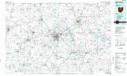
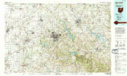
1906 to 1994The same ground, surveyed 88 years apart. Drag the handle to wipe between them. Both sheets are United States Geological Survey originals; neither has been altered.
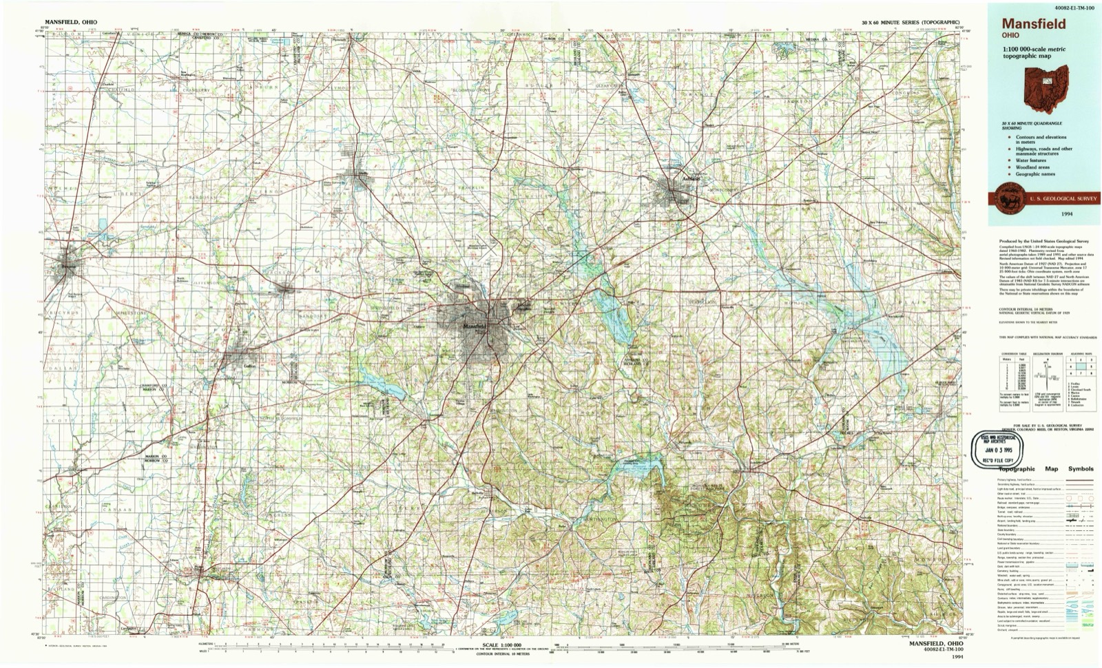
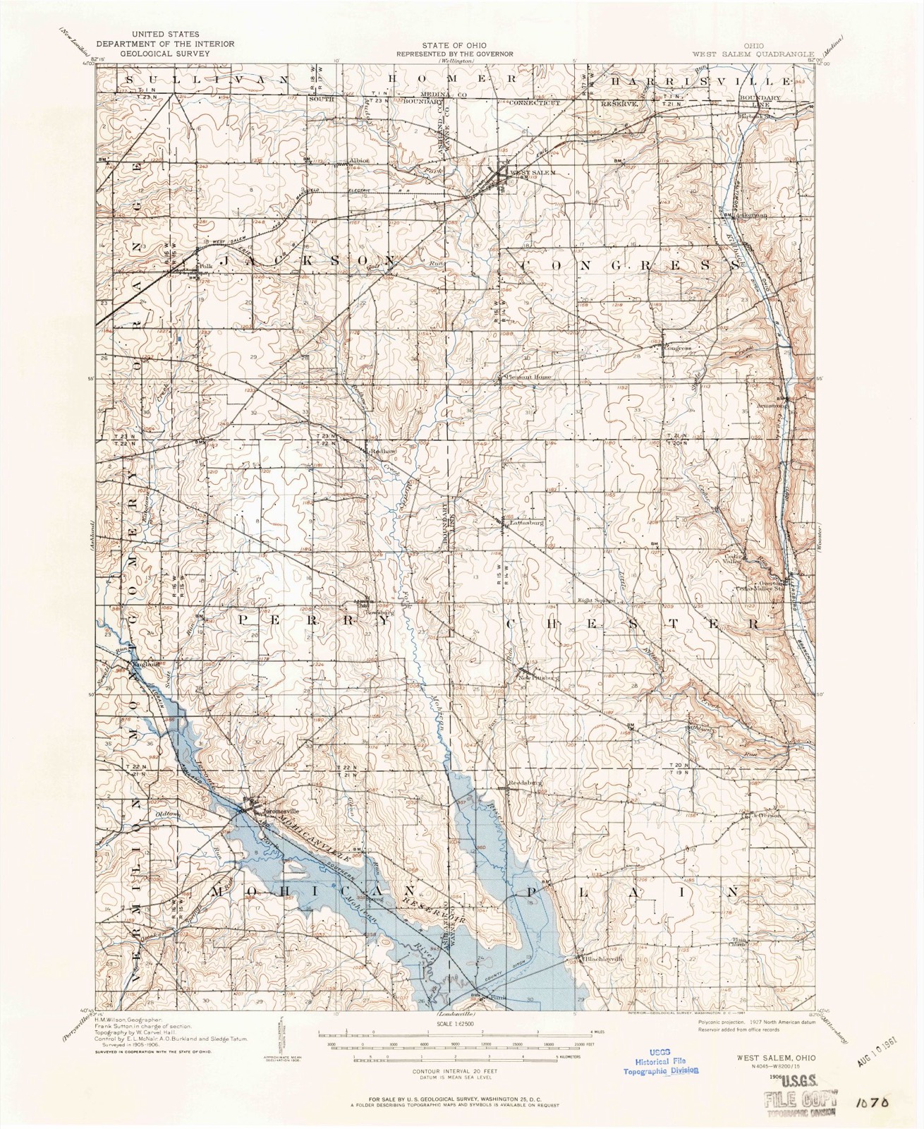
Topographic sheets covering this place
8 surveys from 11 printed sheetsMatched by testing this settlement's coordinate against the published boundary of every sheet in the United States Geological Survey's historical collection. Each opens the scanned sheet at the Survey.
- 1906 USGS West Salem quadrangle1:62500
- 1908 USGS West Salem quadrangle1:62500
- 1950 USGS Marion quadrangle1:250000
- 1961 USGS West Salem quadrangle1:24000, 2 printings
- 1962 USGS Marion quadrangle1:250000
- 1966 USGS Marion quadrangle1:250000, 3 printings
- 1986 USGS Mansfield quadrangle1:100000
- 1994 USGS Mansfield quadrangle1:100000
In the county-history sources
3,379 words on this townshipHistory of Wayne County, Ohio, from the Days of the Pioneers and the First Settlers to the Present Time, published 1878 names this settlement in its chapter on Congress Township. These are the passages that mention it, exactly as the scans read.
The next to come were George Aukerman and John Nead, with their families. After this period emigrants came in so fast and settled in such widely different parts of the township that it would be impossible to trace them, or where they located. The first white person who died was Mrs. Amasa Warner, and the second my mother. The first school ever taught was by John Totten in the first cabin built. George Poe was the first Justice of the township. The first school-house was built in 1819, on the south-west quarter of section 37. The first year after moving into the township my brother Henry and I cleared five acres and planted it in corn, which we cut off in the fall and put down in wheat, and which was the first corn and wheat raised in the township. Game was very plenty, and for some time after our arrival it was our chief article of food. We could not raise hogs or sheep after our settlement, as they would be devoured by wolves. One winter we had twelve sheep enclosed in the same lot in which the house stood, thinking they were safe, and that the dogs would guard them, but a herd of wolves, during the night, assailed them and destroyed eleven ; the remaining and last one escaped, and running into the house, awoke the family, but the hungry scavengers of the woods had fled. The next day, there being snow on the ground, I pursued them as far as the Harrisville Swamp, in Medina county, but got no opportunity of shooting at them. Near this swamp were encamped about 30 or 40 Indians. Among other early settlers of the township were John Jeffrey, Walter Elgin, David Gardner, Jacob Holmes, Jacob Shellebarger, Peter and Samuel Chasey, G. W. Howey, David Nelson, the father of James Grimes, James Boyd, Hector Burns, Samuel Sheets, N. N. Perrine, A. Yocum, John Vanasdoll, Rev. John Hazard and family, Isaac Matthews, and others.
Passage source: History of Wayne County, Ohio, from the Days of the Pioneers and the First Settlers to the Present Time, published 1878.
Machine-read from a century-old scan, so expect the errors a machine makes: misspelled names, dropped words, stray characters.
Read the whole chapter on Congress Township - it names this place 1 more 1 time.
Specimens collected near this place
12 of 101 shownRegional context, not property-specific evidence. Museums hold 101 specimens collected within 10 miles of Aukerman between 1896 and 1973: 56 Animalia, 39 Plantae, 4 Fungi, 2 Chromista. 12 distinct Species records are shown. Collected by A C ALLEN, Bruce Fink, Collector(s): Woodrow W. Goodpaster and others. Each is a physical object with a catalogue number, and each entry opens the museum's record. This is what was collected and kept, not a survey of what lives here - nothing can be concluded from a species being absent.
| Image | Species | Year | Collected by | Where, as recorded |
|---|---|---|---|---|
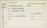 | Cercosporina apii (Fresen.) Miura | 1896 | Selby A. D. | Creston |
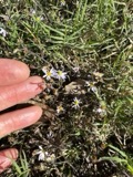 | Aster vimineus Lam. | 1897 | Selby, A.D.; Thorne, B.H. | New Pittsburg road |
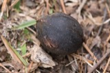 | Carya glabra (Mill.) Sweet | 1897 | Selby, A.D. | New Pittsburg Road |
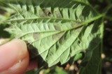 | Pseudoperonospora cubensis (Berk. & M.A.Curtis) Rostovzev | 1897 | Selby, A. D. | Creston |
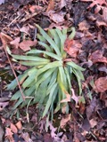 | Carex platyphylla J.Carey | 1898 | Selby, A.D. | Fort Hill |
 | Carex rosea Willd. | 1898 | Selby, A.D. | Fort Hill |
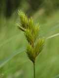 | Carex scoparia Schkuhr ex Willd. | 1898 | Selby, A.D. | Fort Hill |
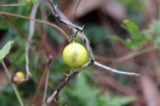 | Solanum carolinense L. | 1898 | Duvel, J.W.T | Creston |
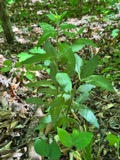 | Aureolaria virginica (L.) Pennell | 1899 | Selby, A.D.; Duvel, J.W.T | Little Killbuch |
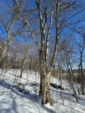 | Betula alleghaniensis Britton | 1899 | Selby, A.D.; Duvel, J.W.T | Little Killbuck |
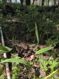 | Brachyelytrum erectum (Schreb.) P.Beauv. | 1899 | Selby, A.D.; Duvel, J.W.T | Little Killbuck |
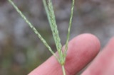 | Digitaria ischaemum (Schreb.) Muhl. | 1899 | Selby, A.D.; Duvel, J.W.T | Peewee Hollow |
All 101 specimens within 10 miles, at the Global Biodiversity Information Facility.
Mines and quarries near this place
8 within 5 milesRegional context, not property-specific evidence. The federal mineral resources record lists 8 workings within 5 miles of Aukerman: 6 past producers, 1 plant, 1 producer. 2 still produce. What was taken out: Sand and Gravel, Construction. Distance is straight-line from the map coordinates, so a quarry counted here may appear on a neighbouring settlement's page as well.
| Where | Site | Commodity | Status | Recorded |
|---|---|---|---|---|
| 76 Sand and Gravel Pit | Sand and Gravel, Construction | Past Producer | Sedimentary | |
| Jones Sand and Gravel Pit | Sand and Gravel, Construction | Past Producer | ||
| Lodi Pit | Sand and Gravel, Construction | Past Producer | Sedimentary | |
| Quillian Bros. Construction Co. Pit | Sand and Gravel, Construction | Past Producer | Sedimentary | |
| Quillian Bros. Pit | Sand and Gravel, Construction | Plant | ||
| Ramsier Pit | Sand and Gravel, Construction | Producer | ||
| Sand and Gravel Pit | Sand and Gravel, Construction | Past Producer | ||
| Seville Sand and Gravel, Inc. Pit | Sand and Gravel, Construction | Past Producer | Sedimentary |
Nearest settlements
The eight closest, with where each one stands in the county. Distances are straight-line, computed from the Geographic Names Information System coordinates.
| Map | Place | Distance | Sheets |
|---|---|---|---|
| West Canaan | 1.9 miles | 16 | |
| Burbank | 2.5 miles | 16 | |
| Congress | 2.8 miles | 11 | |
| Armstrong | 3.4 miles | 11 | |
| Golden Corners | 3.8 miles | 16 | |
| West Salem | 4.6 miles | 11 | |
| Canaan | 4.8 miles | 16 | |
| Pleasant Home | 5.4 miles | 11 |
Elsewhere
Matched on this settlement's Geographic Names Information System number rather than its name, so it cannot be a different place of the same name in another state.
| Wikipedia article on Aukerman | An encyclopaedic summary. Its text is share-alike, so it is linked here rather than copied. |
| Wikidata item Q22133501 | The structured record the population and elevation above come from. Public domain (CC0). |
Provenance
This settlement is recorded in the Geographic Names Information System as feature 1064358. The sheet list is computed by point-in-boundary test against the United States Geological Survey's historical topographic inventory. Both are works of the United States government and carry no copyright under 17 U.S.C. 105.
Specimens. Global Biodiversity Information Facility (GBIF), https://www.gbif.org/. Only records licensed CC0 or CC BY are used. Records licensed CC BY-NC are excluded because this site carries advertising. Images are checked individually and any whose licence is non-commercial, no-derivatives or unreadable is refused.
Mines and quarries. USGS Mineral Resources Data System (MRDS) https://mrdata.usgs.gov/mrds/ A work of the United States government, no copyright under 17 U.S.C. 105.