 Block
Block
Bemis, Massachusetts
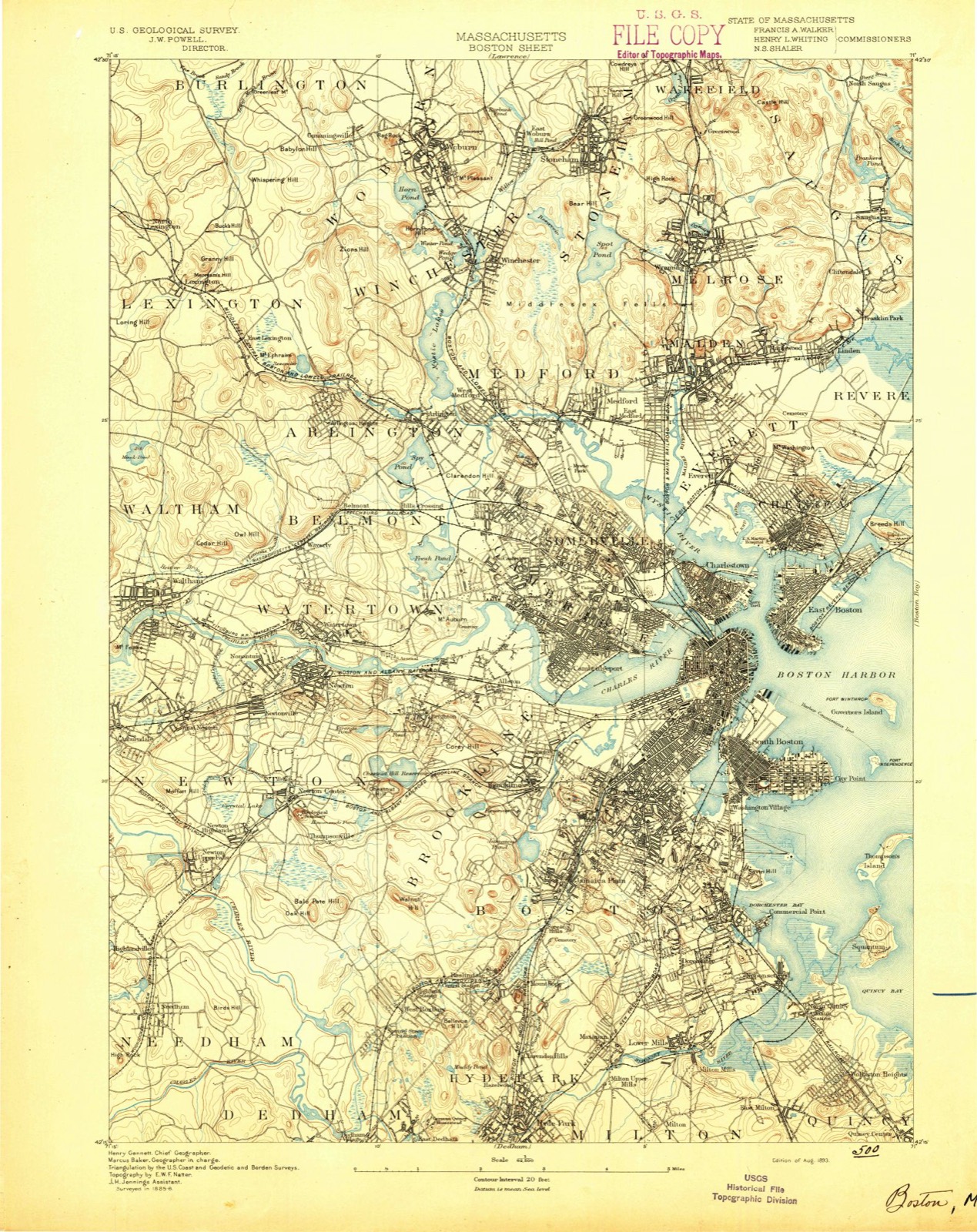
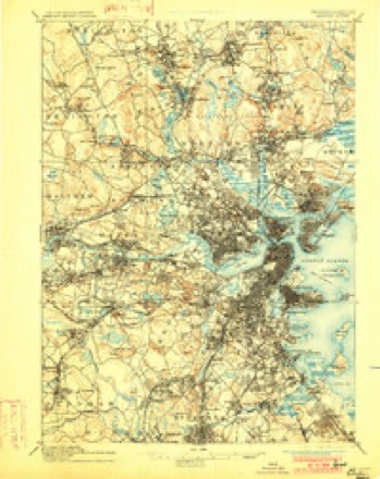
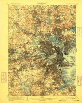
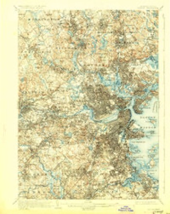
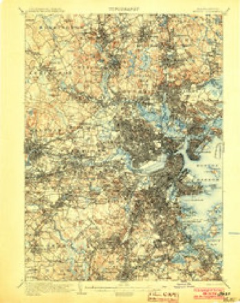
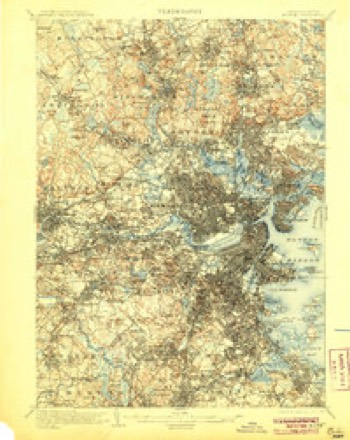
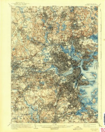
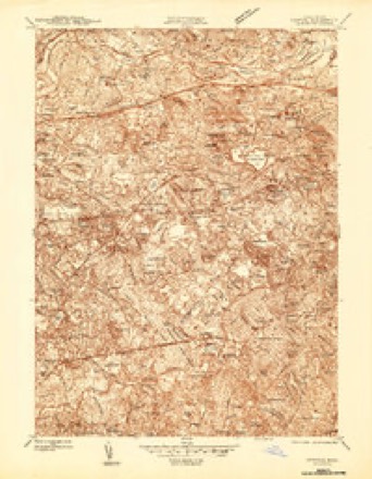
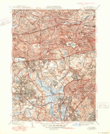
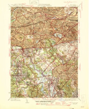
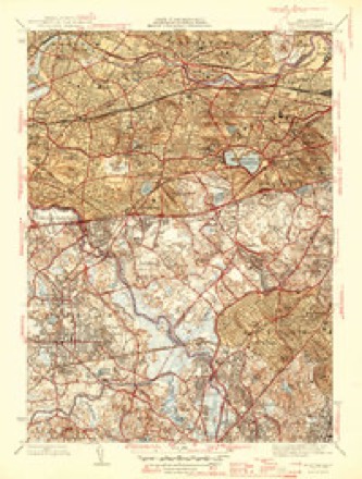
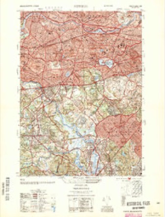
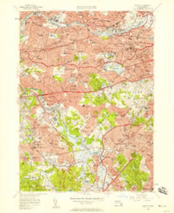
46 topographic sheets cover this place, the earliest surveyed in 1893 and the latest in 1989. It stands in Watertown City. It lies in ZIP code area 02472. It stands on Cheese Cake Brook. The Survey maps it on the Newton quadrangle.
Then and now
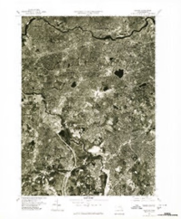
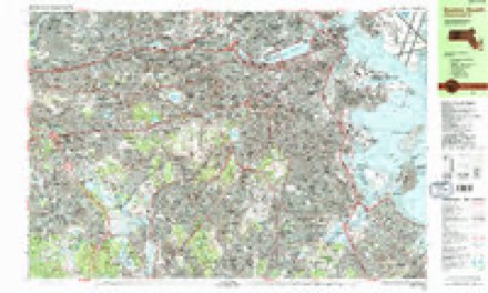
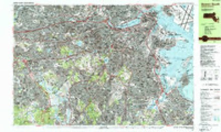
1893 to 1989The same ground, surveyed 96 years apart. Drag the handle to wipe between them. Both sheets are United States Geological Survey originals; neither has been altered.

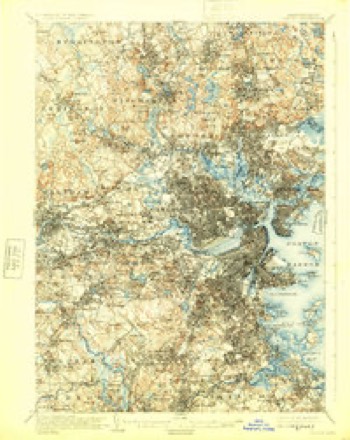
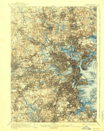
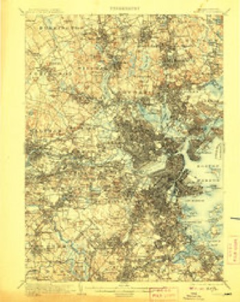
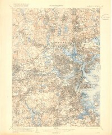
Topographic sheets covering this place
46 sheetsMatched by testing this settlement's coordinate against the published boundary of every sheet in the United States Geological Survey's historical collection. Each opens the scanned sheet at the Survey.
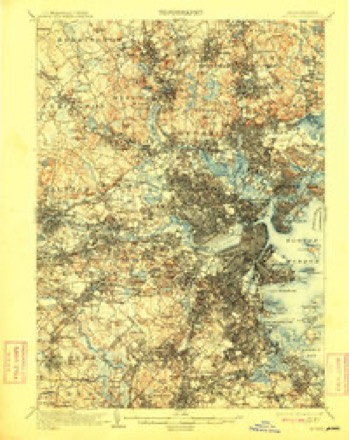
- 1893 USGS Boston quadrangle1:62500
- 1893 USGS Boston quadrangle1:62500
- 1893 USGS Boston quadrangle1:62500
- 1893 USGS Boston quadrangle1:62500
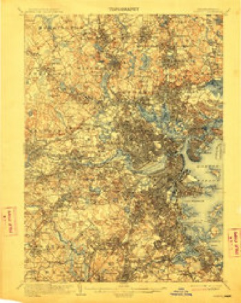
- 1903 USGS Boston quadrangle1:62500
- 1903 USGS Boston quadrangle1:62500
- 1903 USGS Boston quadrangle1:62500
- 1903 USGS Boston quadrangle1:62500
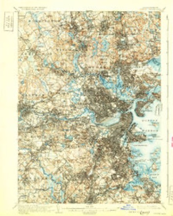
- 1903 USGS Boston quadrangle1:62500
- 1903 USGS Boston quadrangle1:62500
- 1903 USGS Boston quadrangle1:62500
- 1903 USGS Boston quadrangle1:62500
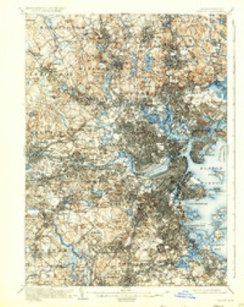
- 1903 USGS Boston quadrangle1:62500
- 1903 USGS Boston quadrangle1:62500
- 1903 USGS Boston quadrangle1:62500
- 1903 USGS Boston quadrangle1:62500
- 1903 USGS Boston quadrangle1:62500
- 1943 USGS Boston quadrangle1:125000
- 1944 USGS Newton quadrangle1:24000
- 1946 USGS Newton quadrangle1:31680
- 1946 USGS Newton quadrangle1:31680
- 1946 USGS Newton quadrangle1:31680
- 1948 USGS Boston quadrangle1:250000
- 1948 USGS Boston quadrangle1:250000
- 1954 USGS Newton quadrangle1:25000
- 1956 USGS Boston quadrangle1:250000
- 1956 USGS Boston quadrangle1:250000
- 1956 USGS Boston quadrangle1:250000
- 1956 USGS Boston quadrangle1:250000
- 1956 USGS Boston quadrangle1:250000
- 1956 USGS Boston quadrangle1:250000
- 1956 USGS Newton quadrangle1:24000
- 1956 USGS Newton quadrangle1:24000
- 1956 USGS Newton quadrangle1:24000
- 1958 USGS Boston quadrangle1:250000
- 1958 USGS Boston quadrangle1:250000
- 1961 USGS Boston quadrangle1:250000
- 1961 USGS Boston quadrangle1:250000
- 1970 USGS Newton quadrangle1:24000
- 1970 USGS Newton quadrangle1:25000
- 1977 USGS Newton quadrangle1:25000
- 1985 USGS Boston quadrangle1:100000
- 1987 USGS Boston South quadrangle1:25000
- 1987 USGS Boston South quadrangle1:25000
- 1989 USGS Boston quadrangle1:100000
- 1989 USGS Boston quadrangle1:100000
















In the county-history sources
70,495 words on this townshipHistory of Middlesex County, Massachusetts : Containing Carefully Prepared Histories of Every City and Town in the County, published 1880 names this settlement in its chapter on Watertown City. These are the passages that mention it, exactly as the scans read.
Ecclesiastical. - Tlie first work of the settlers after providing for themselves a temporary shelter was to combine into church fellowship. On account of the great sickness and mortality prevailing in Ciiarlestown, July 30, 1630, was observed throughout the colony as a day of fasting and prayer. After the close of these exercises at Watertown, as we are told by R«v. Cotton Mather, "about forty men, whereof the first was that excellent Knight, Sir Richard Saltonstall, then subscribed this instrument (a church covenant), in order unto their coalescence into a church estate," and its date, coeval with that of the organization of the Boston church at Ciiarlestown, entitles the Watertown church to rank next after those of Salem and Dorchester.
Passage source: History of Middlesex County, Massachusetts : Containing Carefully Prepared Histories of Every City and Town in the County, published 1880.
It is probable that the first mill in Watertowti was built in 1634 by Edward How. It was a grist-mill, on Mill Creek, a canal partly or wholly artificial, leaving the river at Ihe head of the falls, where a stone dam was afterward made across the river. During Philip's War the mill was intrusted to the guard of Richard Sanger, his two sons, and three others. In 1780 Daniel Jackson had a saw-mill here. In 179.') ]\Iessrs. G. and F. Williams had a paper-mill heiv, the same afterwards known as .\nnis', and latterly as llollingsworlh and Whitney's. A fulling-mill on iieaver linnik, supposed to have been where Kendall's Mills now are, was the next mill built here. In 1(')70 a corn-mill was set up on Stony Brook. About 1760 David Bemis built a mill about a mile above the old one, and another was built by John Boies where the Waltham factories liave since been built. Since the ojjening of the century a number have been erected, absorbing a large amount of capital, and giving employment to numerous families.
Passage source: History of Middlesex County, Massachusetts : Containing Carefully Prepared Histories of Every City and Town in the County, published 1880.
In 1778 the dam at Bemis' Station, where the Etna Mills now are, about one mile above the old mill, was built by David Bemis and Dr. Enos Sumner. Bemis owned two thirds of a paper-mill on the Newton side, built in 1779, and before 1790 also carried on a grist-mill and snuff-mill on the Watertown side, - the first mill at that point. His son Seth became sole proprietor about 1796, and in 1803 began to spin cotton by machinery, a business that proved exceedingly profitable. Cotton sail-duck, for which a twisting-machine of forty-eight spindles was constructed, was first made here in 1809. In 1816 the introduction of the power-loom and other improvements reduced the price of duck one half. Afterwards, in connection with his son, Seth, Jr., and until he gave up business in 18-"36, he made mis the leading factory in the country for grinding and preparing dyestuffs.
Passage source: History of Middlesex County, Massachusetts : Containing Carefully Prepared Histories of Every City and Town in the County, published 1880.
Machine-read from a century-old scan, so expect the errors a machine makes: misspelled names, dropped words, stray characters.
Read the whole chapter on Watertown City - it names this place 21 more 21 times.
Fires near this place
65 since 2015Regional context, not property-specific evidence. The federal wildfire occurrence database lists 65 fires within 5 miles of Bemis between 2015 and 2020, burning about 30 acres in total. None started naturally. 3 were recorded as arson. Distance is straight-line from the map coordinates, so a fire counted here may appear on a neighbouring settlement's page as well.
| Reported cause | Fires |
|---|---|
| Recreation and ceremony | 25 |
| Missing data/not specified/undetermined | 22 |
| Debris and open burning | 9 |
| Smoking | 3 |
| Arson/incendiarism | 3 |
| Equipment and vehicle use | 1 |
| Power generation/transmission/distribution | 1 |
| Misuse of fire by a minor | 1 |
The most recent of them, most recent first, with the day each was reported and the service that recorded it.
| Date | Cause | Size | Reported by | Name on the report |
|---|---|---|---|---|
| 8 September 2020 | Missing data/not specified/undetermined | under an acre | Massachusetts Bureau of Forest Fire Control | not named |
| 4 September 2018 | Missing data/not specified/undetermined | under an acre | Massachusetts Bureau of Forest Fire Control | not named |
| 4 September 2015 | Recreation and ceremony | under an acre | Massachusetts Bureau of Forest Fire Control | NEEDHAM |
| 3 September 2018 | Debris and open burning | under an acre | Massachusetts Bureau of Forest Fire Control | not named |
| 3 September 2015 | Recreation and ceremony | under an acre | Massachusetts Bureau of Forest Fire Control | NEEDHAM |
| 23 September 2015 | Recreation and ceremony | under an acre | Massachusetts Bureau of Forest Fire Control | WELLESLEY |
| 21 September 2015 | Recreation and ceremony | under an acre | Massachusetts Bureau of Forest Fire Control | NEEDHAM |
| 2 September 2018 | Equipment and vehicle use | under an acre | Massachusetts Bureau of Forest Fire Control | BROOKLINE |
Settlements close enough to share some of these fires:
Specimens collected near this place
12 of 2,431 shownRegional context, not property-specific evidence. Museums hold 2,431 specimens collected within 10 miles of Bemis between 1898 and 1975: 1,222 Animalia, 662 Plantae, 478 Fungi, 29 Protozoa, 17 Bacteria, 14 Chromista, 9 Unrecorded. 12 distinct Species records are shown. Collected by ?, A B Seymour, A. B. Seymour and others. Each is a physical object with a catalogue number, and each entry opens the museum's record. This is what was collected and kept, not a survey of what lives here - nothing can be concluded from a species being absent.
| Image | Species | Year | Collected by | Where, as recorded |
|---|---|---|---|---|
 | Corvus brachyrhynchos brachyrhynchos C.L.Brehm, 1822 | 1900 | not recorded | Wayland |
 | Trientalis borealis Raf. | 1900 | A. P. Chute | |
| Aglaospora profusa (Fr.) De Not. | 1898 | Collector unspecified | ||
 | Antennaria howellii subsp. canadensis (Greene) R.J.Bayer | 1898 | Williams, E.F. | |
 | Antennaria parlinii subsp. fallax (Greene) R.J.Bayer & Stebbins | 1898 | not recorded | |
 | Antennaria plantaginifolia (L.) Hook. | 1898 | not recorded | |
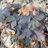 | Aquilegia canadensis L. | 1898 | M. I. Gunn | Natick |
 | Acanthis flammea flammea (Linnaeus, 1758) | 1900 | ZAPPEY, W R | ROSLINDALE |
 | Acer carpinifolium Siebold & Zucc. | 1900 | A. K. Harrison | Harvard Botanic Garden, Cambridge. |
 | Acer palmatum var. dissectum (Thunb.) Miq. | 1900 | A. K. Harrison | Harvard Botanic Garden, Cambridge. |
 | Agaricus brunnescens Peck | 1900 | Morris, G. E. | Waltham |
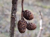 | Alnus incana subsp. rugosa (Du Roi) R.T.Clausen | 1900 | J. Murdoch, Jr. | Roxbury |
All 2,431 specimens within 10 miles, at the Global Biodiversity Information Facility.
Mines and quarries near this place
6 within 5 milesRegional context, not property-specific evidence. The federal mineral resources record lists 6 workings within 5 miles of Bemis: 4 past producers, 1 producer, 1 plant. 2 still produce. What was taken out: Sand and Gravel, Construction, Stone, Crushed/Broken, Tantalum, Niobium (Columbium). Distance is straight-line from the map coordinates, so a quarry counted here may appear on a neighbouring settlement's page as well.
| Where | Site | Commodity | Status | Recorded |
|---|---|---|---|---|
| Nrc Inc--Newton, Ma. | Tantalum, Niobium (Columbium) | Plant | ||
| Massachusetts Broken Stone Co | Stone, Crushed/Broken | Past Producer | ||
| Weston Mine | Stone, Crushed/Broken | Producer | ||
| Burton Pit | Sand and Gravel, Construction | Past Producer | ||
| Town of Wellesley | Sand and Gravel, Construction | Past Producer | Sedimentary | |
| Town of Wellesley | Sand and Gravel, Construction | Past Producer |
Nearest settlements
The eight closest, with where each one stands in the county. Distances are straight-line, computed from the Geographic Names Information System coordinates.
| Map | Place | Distance | Sheets |
|---|---|---|---|
| North Village | 0.4 miles | 46 | |
| Nonantum | 0.4 miles | 46 | |
| Newton Corner | 0.7 miles | 46 | |
| Clematis Brook Station | 1.0 miles | 46 | |
| Watertown | 1.1 miles | 46 | |
| Beaver Brook Station | 1.1 miles | 46 | |
| Newtonville | 1.3 miles | 46 | |
| Cedar Hill Camp | 1.7 miles | 46 |
Provenance
This settlement is recorded in the Geographic Names Information System as feature 612293. The sheet list is computed by point-in-boundary test against the United States Geological Survey's historical topographic inventory. Both are works of the United States government and carry no copyright under 17 U.S.C. 105.
Wildfire. Short, Karen C. 2022. Spatial wildfire occurrence data for the United States, 1992-2020 [FPA_FOD_20221014]. 6th Edition. Fort Collins, CO: Forest Service Research Data Archive. https://doi.org/10.2737/RDS-2013-0009.6 Collected with United States Government funding and usable without additional permissions or fees.
Specimens. Global Biodiversity Information Facility (GBIF), https://www.gbif.org/. Only records licensed CC0 or CC BY are used. Records licensed CC BY-NC are excluded because this site carries advertising. Images are checked individually and any whose licence is non-commercial, no-derivatives or unreadable is refused.
Mines and quarries. USGS Mineral Resources Data System (MRDS) https://mrdata.usgs.gov/mrds/ A work of the United States government, no copyright under 17 U.S.C. 105.