 Block
Block
Watertown, Massachusetts
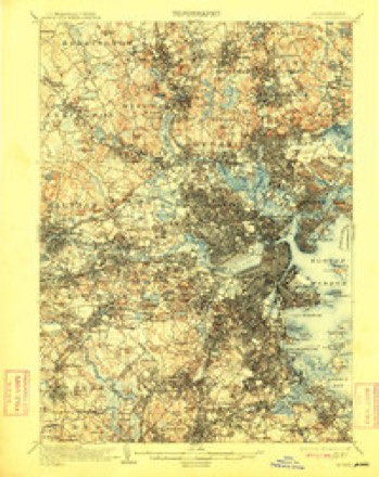
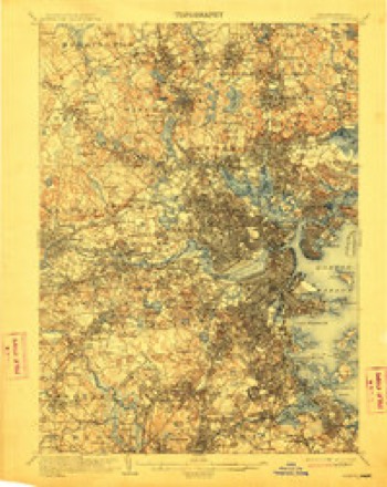
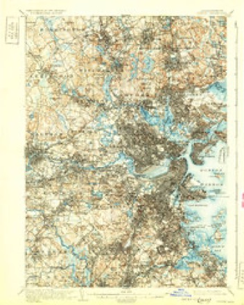
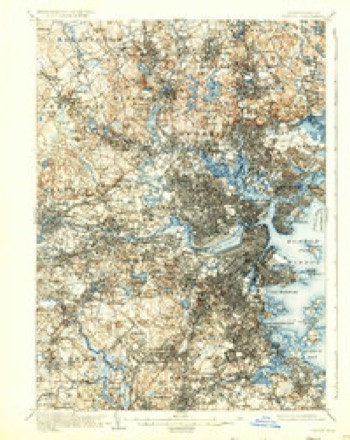
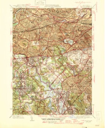
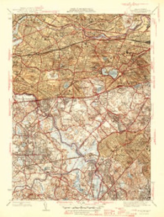
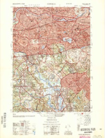
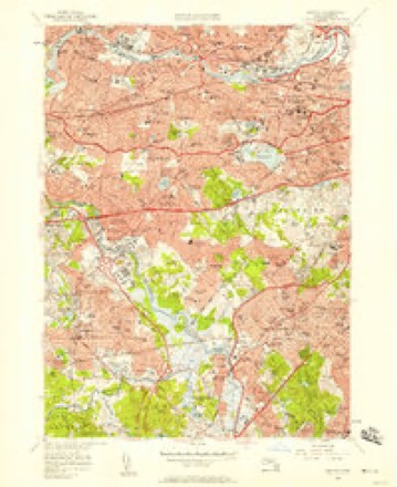
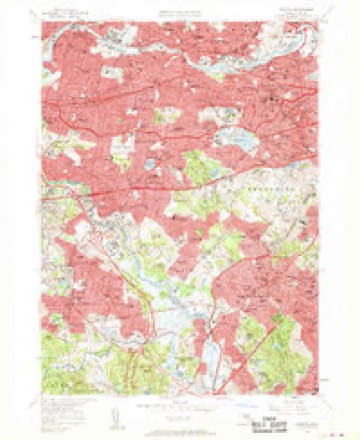
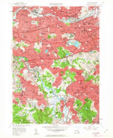
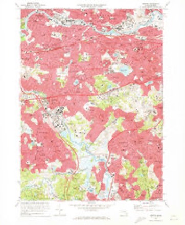
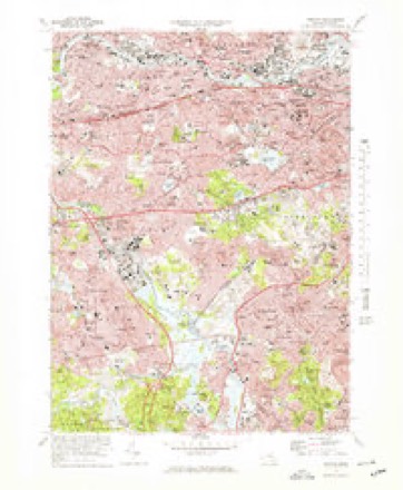
46 topographic sheets cover this place, the earliest surveyed in 1893 and the latest in 1989. It stands in Watertown City. It lies in ZIP code area 02472. It stands on Whitney Hill. The Survey maps it on the Newton quadrangle. 35,329 people lived here at the 2020 count. It stands 36 feet above sea level.
Population over time
2 figuresWatertown grew from 31,915 to 35,329 between 2010 and 2020. These are the recorded population figures Wikidata holds for this place, reached through the Geographic Names Information System number this page is keyed on rather than by name, so they belong to this place and not to another of the same name. Most are census counts, but not all are: an early figure may be a founding or settlement estimate. The change column is computed, and is left blank where more than 20 years separate a figure from the one before it, because a gap that long is not a change between two counts.
| Year | People | Change |
|---|---|---|
| 2010 | 31,915 | |
| 2020 | 35,329 | +3,414 (+11%) |
Then and now
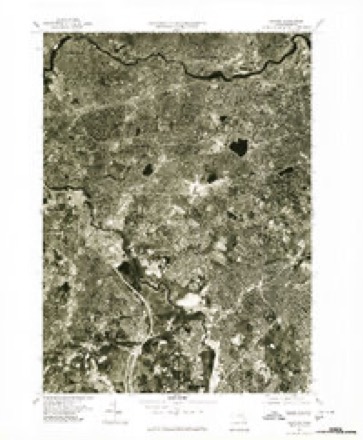
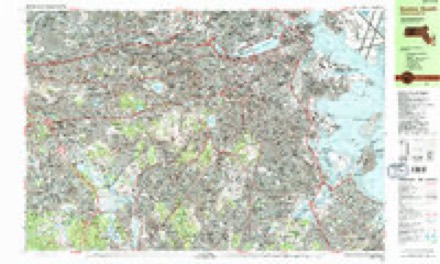
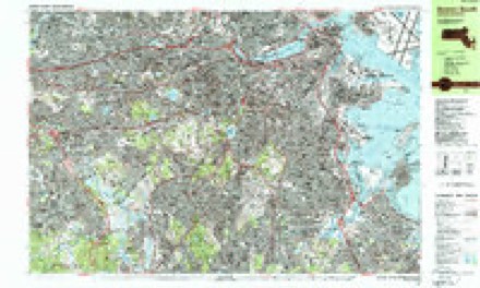
1893 to 1989The same ground, surveyed 96 years apart. Drag the handle to wipe between them. Both sheets are United States Geological Survey originals; neither has been altered.

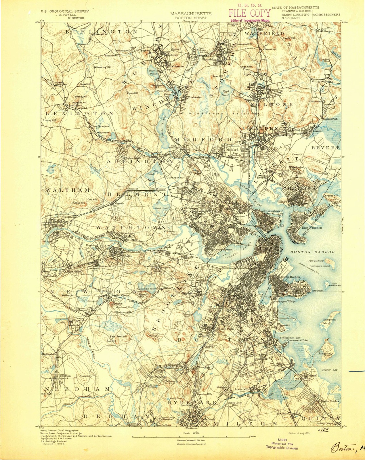
Topographic sheets covering this place
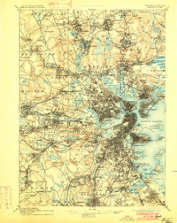
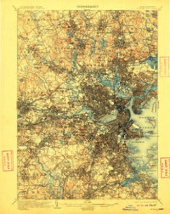
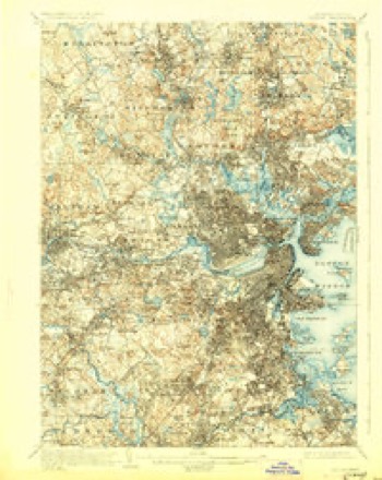
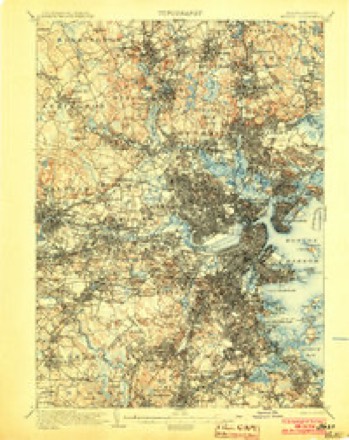
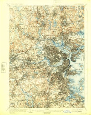
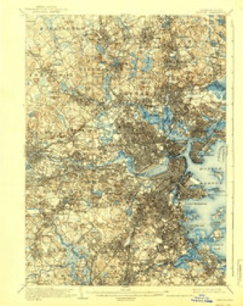
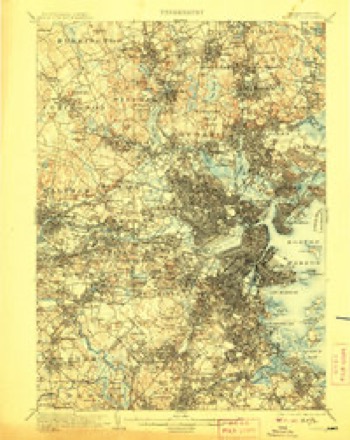
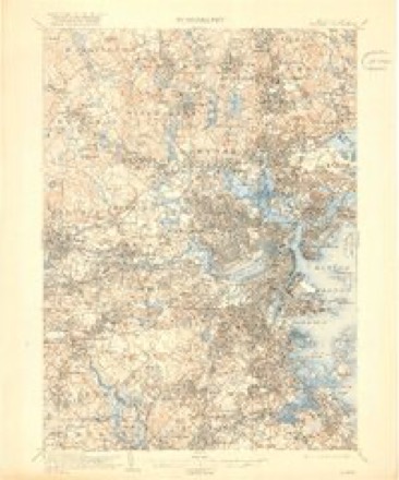
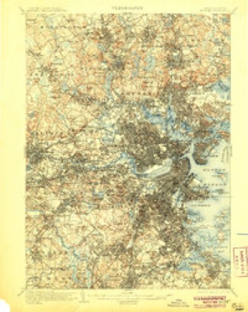
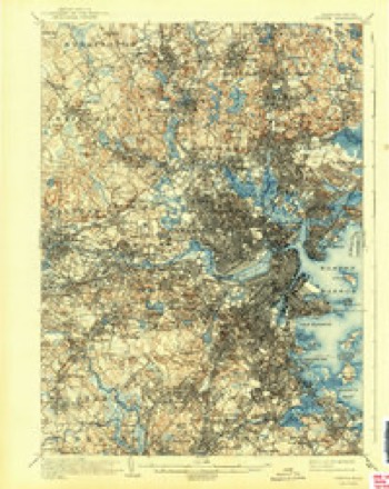
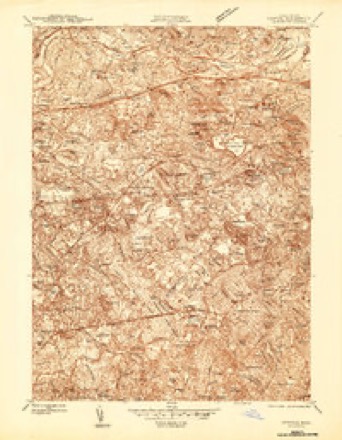
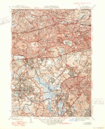
46 sheetsMatched by testing this settlement's coordinate against the published boundary of every sheet in the United States Geological Survey's historical collection. Each opens the scanned sheet at the Survey.
- 1893 USGS Boston quadrangle1:62500
- 1893 USGS Boston quadrangle1:62500
- 1893 USGS Boston quadrangle1:62500
- 1893 USGS Boston quadrangle1:62500
- 1903 USGS Boston quadrangle1:62500
- 1903 USGS Boston quadrangle1:62500
- 1903 USGS Boston quadrangle1:62500
- 1903 USGS Boston quadrangle1:62500
- 1903 USGS Boston quadrangle1:62500
- 1903 USGS Boston quadrangle1:62500
- 1903 USGS Boston quadrangle1:62500
- 1903 USGS Boston quadrangle1:62500
- 1903 USGS Boston quadrangle1:62500
- 1903 USGS Boston quadrangle1:62500
- 1903 USGS Boston quadrangle1:62500
- 1903 USGS Boston quadrangle1:62500
- 1903 USGS Boston quadrangle1:62500
- 1943 USGS Boston quadrangle1:125000
- 1944 USGS Newton quadrangle1:24000
- 1946 USGS Newton quadrangle1:31680
- 1946 USGS Newton quadrangle1:31680
- 1946 USGS Newton quadrangle1:31680
- 1948 USGS Boston quadrangle1:250000
- 1948 USGS Boston quadrangle1:250000
- 1954 USGS Newton quadrangle1:25000
- 1956 USGS Boston quadrangle1:250000
- 1956 USGS Boston quadrangle1:250000
- 1956 USGS Boston quadrangle1:250000
- 1956 USGS Boston quadrangle1:250000
- 1956 USGS Boston quadrangle1:250000
- 1956 USGS Boston quadrangle1:250000
- 1956 USGS Newton quadrangle1:24000
- 1956 USGS Newton quadrangle1:24000
- 1956 USGS Newton quadrangle1:24000
- 1958 USGS Boston quadrangle1:250000
- 1958 USGS Boston quadrangle1:250000
- 1961 USGS Boston quadrangle1:250000
- 1961 USGS Boston quadrangle1:250000
- 1970 USGS Newton quadrangle1:24000
- 1970 USGS Newton quadrangle1:25000
- 1977 USGS Newton quadrangle1:25000
- 1985 USGS Boston quadrangle1:100000
- 1987 USGS Boston South quadrangle1:25000
- 1987 USGS Boston South quadrangle1:25000
- 1989 USGS Boston quadrangle1:100000
- 1989 USGS Boston quadrangle1:100000
















In the county-history sources
70,495 words on this townshipHistory of Middlesex County, Massachusetts : Containing Carefully Prepared Histories of Every City and Town in the County, published 1880 names this settlement in its chapter on Watertown City. These are the passages that mention it, exactly as the scans read.
The uneventful annals of the town record the peaceful progress of an agriculturnl community occupied in drawing its needful supplies of food from the soil and from the river, and occasionally sending its little colonies to the Connecticut valley, the "far west" of that day. Undisturbed by tlie terrible Indian war that in 1675 devastated so many thriving New England villages, and untroubled by the , whirlwind of superstition that culminated in tiie Salem tragedy of 1692, singularly free from these and other calamities that befell less favored localities, Watertown yet bore lier full share in the efforts and in the burdens of tiie colony in its struggles, first for existence, and subsequently for independence. For more than lialf a century she was preserved from mentfll stagnation by an acrimonious dispute over the question of the proper location of a new meeting-house.
Passage source: History of Middlesex County, Massachusetts : Containing Carefully Prepared Histories of Every City and Town in the County, published 1880.
A striking contrast to the simple lives of these Puritan emigrants is afforded by those of their descendants of to-day. Religion furnished not only tiieir spiritual food, but intellectual recreation as well. The two Sunday services, tiie weekly lecture, and the family devotions, filled the place now occupied by the newspaper, the public library, the lyceum, public amusements, and the other manifold methods of employing spare time. Books were scarce and highly prized, and - the Bible excepted - consisted principally of treatises by the Puritan divines. Without being superstitious, they saw a providential significance in the most trivial occurrences. Thus at Watertown, one day (so Governor Winthrop tells us), "many persons saw a great contest between a mouse and a snake. After a long fight the mouse prevailed, and killed the snake. The Eev. Mr. Wilson of Boston, a very sincere and holy man, gave this interpretation of it : the snake was the devil : the mouse was a
Passage source: History of Middlesex County, Massachusetts : Containing Carefully Prepared Histories of Every City and Town in the County, published 1880.
Tliere was much sickness duiing the first winter, which was one of great severity, and also much suffering from scarcity of food, many being compelled to subsist solely upon shell-fish, groundnuts, and acorns. Several of the settlers lost their houses and wigwams by fire, and Rev. Mr. Phillips and others had their hay burnt. The settlers were also greatly annoyed by wolves, and one night, the report of a musket discharged at them in Watertown having been heard at Roxbury, the people there, apprehending an Indian attack, were greatly excited, and were called to arms by beat of drum. The alarm was communicated to the people of Boston, who also turned out, but who, on learm'ng the cause, were greatly relieved, and " went merrily to breakfast," says the narrator of the incident.
Passage source: History of Middlesex County, Massachusetts : Containing Carefully Prepared Histories of Every City and Town in the County, published 1880.
Machine-read from a century-old scan, so expect the errors a machine makes: misspelled names, dropped words, stray characters.
Read the whole chapter on Watertown City - it names this place 158 more 158 times.
Fires near this place
72 since 2015Regional context, not property-specific evidence. The federal wildfire occurrence database lists 72 fires within 5 miles of Watertown between 2015 and 2020, burning about 111 acres in total. None started naturally. 23 were recorded as arson. Distance is straight-line from the map coordinates, so a fire counted here may appear on a neighbouring settlement's page as well.
| Reported cause | Fires |
|---|---|
| Arson/incendiarism | 23 |
| Recreation and ceremony | 20 |
| Missing data/not specified/undetermined | 16 |
| Debris and open burning | 7 |
| Smoking | 3 |
| Equipment and vehicle use | 1 |
| Power generation/transmission/distribution | 1 |
| Misuse of fire by a minor | 1 |
The most recent of them, most recent first, with the day each was reported and the service that recorded it.
| Date | Cause | Size | Reported by | Name on the report |
|---|---|---|---|---|
| 8 September 2020 | Missing data/not specified/undetermined | under an acre | Massachusetts Bureau of Forest Fire Control | not named |
| 4 September 2018 | Missing data/not specified/undetermined | under an acre | Massachusetts Bureau of Forest Fire Control | not named |
| 4 September 2015 | Recreation and ceremony | under an acre | Massachusetts Bureau of Forest Fire Control | NEEDHAM |
| 3 September 2018 | Debris and open burning | under an acre | Massachusetts Bureau of Forest Fire Control | not named |
| 3 September 2018 | Missing data/not specified/undetermined | under an acre | Massachusetts Bureau of Forest Fire Control | not named |
| 3 September 2015 | Recreation and ceremony | under an acre | Massachusetts Bureau of Forest Fire Control | NEEDHAM |
| 23 September 2015 | Recreation and ceremony | under an acre | Massachusetts Bureau of Forest Fire Control | WELLESLEY |
| 21 September 2015 | Recreation and ceremony | under an acre | Massachusetts Bureau of Forest Fire Control | NEEDHAM |
Settlements close enough to share some of these fires:
Specimens collected near this place
12 of 2,148 shownRegional context, not property-specific evidence. Museums hold 2,148 specimens collected within 10 miles of Watertown between 1898 and 1975: 963 Animalia, 648 Plantae, 468 Fungi, 29 Protozoa, 17 Bacteria, 14 Chromista, 9 Unrecorded. 12 distinct Species records are shown. Collected by ?, A B Seymour, A B. Proper and others. Each is a physical object with a catalogue number, and each entry opens the museum's record. This is what was collected and kept, not a survey of what lives here - nothing can be concluded from a species being absent.
| Image | Species | Year | Collected by | Where, as recorded |
|---|---|---|---|---|
 | Corvus brachyrhynchos brachyrhynchos C.L.Brehm, 1822 | 1900 | not recorded | Wayland |
 | Trientalis borealis Raf. | 1900 | A. P. Chute | |
| Aglaospora profusa (Fr.) De Not. | 1898 | Collector unspecified | ||
 | Antennaria howellii subsp. canadensis (Greene) R.J.Bayer | 1898 | Williams, E.F. | |
 | Antennaria parlinii subsp. fallax (Greene) R.J.Bayer & Stebbins | 1898 | not recorded | |
 | Antennaria plantaginifolia (L.) Hook. | 1898 | not recorded | |
 | Arthonia lecideella Nyl. | 1898 | Clara E. Cummings | |
 | Acanthis flammea flammea (Linnaeus, 1758) | 1900 | ZAPPEY, W R | ROSLINDALE |
 | Acer carpinifolium Siebold & Zucc. | 1900 | A. K. Harrison | Harvard Botanic Garden, Cambridge. |
 | Acer palmatum var. dissectum (Thunb.) Miq. | 1900 | A. K. Harrison | Harvard Botanic Garden, Cambridge. |
 | Agaricus brunnescens Peck | 1900 | Morris, G. E. | Waltham |
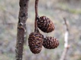 | Alnus incana subsp. rugosa (Du Roi) R.T.Clausen | 1900 | J. Murdoch, Jr. | Roxbury |
All 2,148 specimens within 10 miles, at the Global Biodiversity Information Facility.
Mines and quarries near this place
10 of 11 shownRegional context, not property-specific evidence. The federal mineral resources record lists 11 workings within 5 miles of Watertown: 5 past producers, 5 plants, 1 producer. 6 still produce. What was taken out: Sand and Gravel, Construction, Stone, Crushed/Broken, Iron, Lead. Distance is straight-line from the map coordinates, so a quarry counted here may appear on a neighbouring settlement's page as well.
| Where | Site | Commodity | Status | Recorded |
|---|---|---|---|---|
| Nrc Inc--Newton, Ma. | Tantalum, Niobium (Columbium) | Plant | ||
| (Facility) Cambridge Smelter Co | Lead | Plant | ||
| Industrial Serv. Centers--Cambridge | Iron | Plant | ||
| Massachusetts Broken Stone Co | Stone, Crushed/Broken | Past Producer | ||
| Somerville Smelting Co. | Lead | Plant | ||
| Weston Mine | Stone, Crushed/Broken | Producer | ||
| Wheelock-Lovejoy--Cambridge, Ma. | Iron | Plant | ||
| Burton Pit | Sand and Gravel, Construction | Past Producer | ||
| C. J. Mabardy | Sand and Gravel, Construction | Past Producer | ||
| Town of Wellesley | Sand and Gravel, Construction | Past Producer | Sedimentary |
Storms near this place
16 since 1999Regional context, not property-specific evidence. The National Weather Service names Watertown in 16 storm reports between 1999 and 2023: 8 thunderstorm wind, 3 flash flood, 3 flood, 2 hail. No death or injury is recorded in these reports. Each account below is quoted exactly as the forecast office filed it, from the NOAA Storm Events Database, and each date opens the federal record of that event.
| When | Event | Place named | Harm | What the report says |
|---|---|---|---|---|
| July 2010 | Flash Flood | Watertown | $11,000,000 | The most significant flash flooding affected Somerville, where damage was estimated to be around ten million dollars. Several businesses experienced severe flooding, and the Somerville Public Safety Building was inundated with nearly four feet of water. Three police cruisers were destroyed. Two schools and the library were also affected. Over three feet of water flooded Washington Street at McGrath Highway where several cars were stranded. A water rescue was required at an underpass in Union Square as flood waters rapidly inundated a vehicle. Widespread significant street flooding also occurred in Watertown, Belmont, Cambridge, and Medford. |
| June 2010 | Thunderstorm Wind | Watertown | $100,000 | Trees were downed on several streets in Cambridge, including one that fell onto a car on Magazine Street. An amateur radio operator recorded a wind gust of 60 mph on their home weather station. In Watertown, a large tennis court complex balloon structure was lifted off the ground by the winds, damaging both the structure and the complex on the ground. In addition a portion of the roof of a condo complex was blown off resulting in roof damage and some damage on the ground from blowing debris. |
| August 2004 | Thunderstorm Wind | Watertown | $15,000 | no account filed |
| June 2020 | Thunderstorm Wind | Watertown | $4,000 | In Newton at 1250 PM EST (150 PM EDT), police responded to a report of a tree down at the intersection of Charlesbank Road and Nonantum Road. At the same time, a tree was reported down on Border Street in West Newton. On Pleasant Street, a tree was down against a house, with wires also down. At 1253 PM EST (153 PM EDT), a tree and power lines were down on Carver Road near Newton Highlands. |
| June 2008 | Thunderstorm Wind | Watertown | $3,000 | Trees on Pond and Derby Streets were downed by thunderstorm winds. |
| July 2021 | Thunderstorm Wind | East Watertown | $1,000 | In Cambridge, a tree was down on Fresh Pond Parkway. A tree was down on Antrim Street. |
| July 2017 | Thunderstorm Wind | Watertown | $1,000 | At 544 PM EST, a tree was downed in Watertown on Charles River Road at Irving Street. Multiple trees and wires were also downed on Pleasant Street. |
| July 2023 | Thunderstorm Wind | Watertown | $500 | In Chicopee, a tree was down blocking Newtonville Ave. |
| July 2023 | Flash Flood | Watertown | - | In Watertown, a car was stuck in flooding at School St and Spruce St. |
| August 2022 | Flood | Watertown | - | Two cars were reportedly stuck in street flooding - street unspecified. |
| June 2020 | Hail | Watertown | - | Quarter size hail was reported in Watertown Square. |
| June 2020 | Flood | Watertown | - | Flooding reported on Howard Street with one of the manhole covers starting to float. |
| August 2019 | Flood | Watertown | - | In Newton Corner, Church Street was closed due to flooding. |
| September 2018 | Flash Flood | Watertown | - | At 10:08 AM EST, Summer Street in Watertown was flooded near the intersection with Winter Street. |
| August 2015 | Hail | Watertown | - | no account filed |
| August 1999 | Thunderstorm Wind | Watertown | - | no account filed |
Nearest settlements
The eight closest, with where each one stands in the county. Distances are straight-line, computed from the Geographic Names Information System coordinates.
| Map | Place | Distance | Sheets |
|---|---|---|---|
| North Village | 0.9 miles | 46 | |
| Newton Corner | 0.9 miles | 46 | |
| Payson Park | 1.1 miles | 46 | |
| East Watertown | 1.1 miles | 46 | |
| Bemis | 1.1 miles | 46 | |
| Waverley | 1.2 miles | 46 | |
| Nonantum | 1.2 miles | 46 | |
| Clematis Brook Station | 1.7 miles | 46 |
Elsewhere
Matched on this settlement's Geographic Names Information System number rather than its name, so it cannot be a different place of the same name in another state.
| Wikipedia article on Watertown | An encyclopaedic summary. Its text is share-alike, so it is linked here rather than copied. |
| Wikidata item Q54172 | The structured record the population and elevation above come from. Public domain (CC0). |
Provenance
This settlement is recorded in the Geographic Names Information System as feature 612401. The sheet list is computed by point-in-boundary test against the United States Geological Survey's historical topographic inventory. Both are works of the United States government and carry no copyright under 17 U.S.C. 105.
Wildfire. Short, Karen C. 2022. Spatial wildfire occurrence data for the United States, 1992-2020 [FPA_FOD_20221014]. 6th Edition. Fort Collins, CO: Forest Service Research Data Archive. https://doi.org/10.2737/RDS-2013-0009.6 Collected with United States Government funding and usable without additional permissions or fees.
Specimens. Global Biodiversity Information Facility (GBIF), https://www.gbif.org/. Only records licensed CC0 or CC BY are used. Records licensed CC BY-NC are excluded because this site carries advertising. Images are checked individually and any whose licence is non-commercial, no-derivatives or unreadable is refused.
Mines and quarries. USGS Mineral Resources Data System (MRDS) https://mrdata.usgs.gov/mrds/ A work of the United States government, no copyright under 17 U.S.C. 105.
Storms. NOAA National Centers for Environmental Information, Storm Events Database https://www.ncei.noaa.gov/stormevents/ A work of the United States government, no copyright under 17 U.S.C. 105. Narratives are quoted verbatim from the National Weather Service report and are not edited or summarised.