 Block
Block
Belmont, Ohio
12 topographic sheets cover this place, the earliest surveyed in 1903 and the latest in 1962. It stands in Goshen Township. It lies in ZIP code area 43718. The Survey maps it on the Bethesda quadrangle. 414 people lived here at the 2020 count. It stands 1,191 feet above sea level.
Population over time
2 figuresBelmont fell from 453 to 414 between 2010 and 2020. These are the recorded population figures Wikidata holds for this place, reached through the Geographic Names Information System number this page is keyed on rather than by name, so they belong to this place and not to another of the same name. Most are census counts, but not all are: an early figure may be a founding or settlement estimate. The change column is computed, and is left blank where more than 20 years separate a figure from the one before it, because a gap that long is not a change between two counts.
| Year | People | Change |
|---|---|---|
| 2010 | 453 | |
| 2020 | 414 | -39 (-9%) |
Then and now
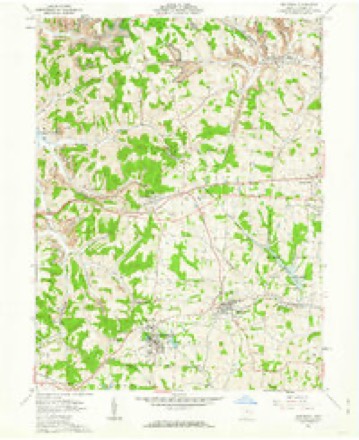
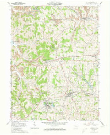
1903 to 1962The same ground, surveyed 59 years apart. Drag the handle to wipe between them. Both sheets are United States Geological Survey originals; neither has been altered.
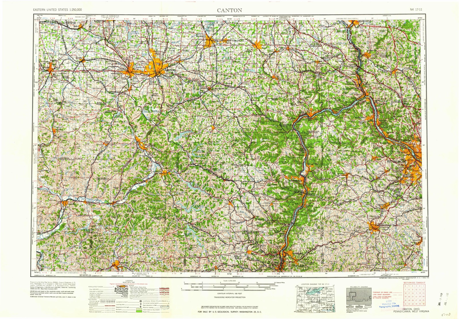
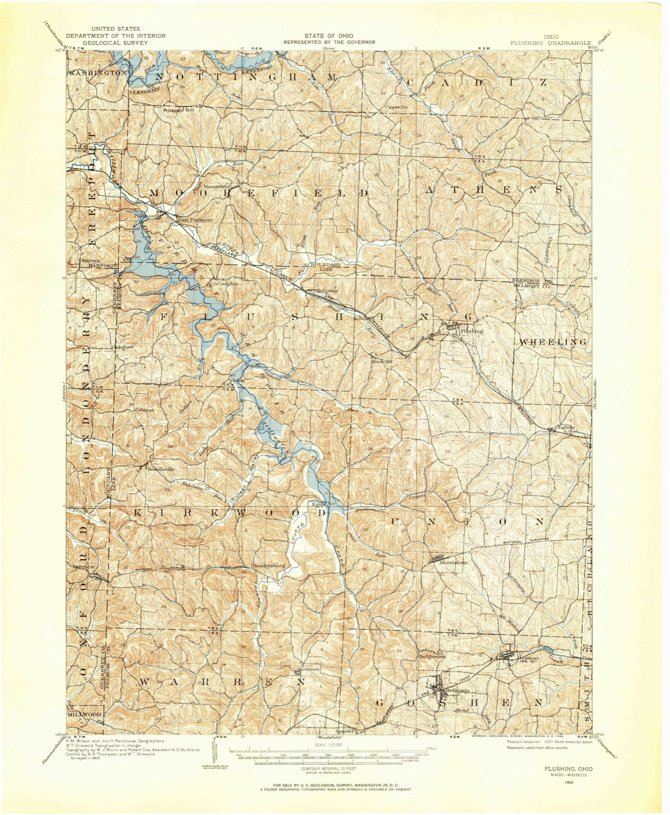
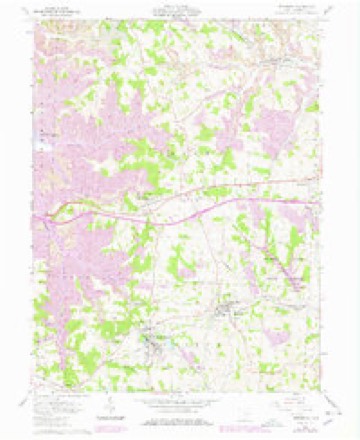
Topographic sheets covering this place
12 sheetsMatched by testing this settlement's coordinate against the published boundary of every sheet in the United States Geological Survey's historical collection. Each opens the scanned sheet at the Survey.
- 1903 USGS Flushing quadrangle1:62500
- 1905 USGS Flushing quadrangle1:62500
- 1951 USGS Canton quadrangle1:250000
- 1953 USGS Canton quadrangle1:250000
- 1957 USGS Canton quadrangle1:250000
- 1957 USGS Canton quadrangle1:250000
- 1957 USGS Canton quadrangle1:250000
- 1961 USGS Bethesda quadrangle1:24000
- 1961 USGS Bethesda quadrangle1:24000
- 1961 USGS Bethesda quadrangle1:24000
- 1962 USGS Canton quadrangle1:250000
- 1962 USGS Canton quadrangle1:250000







In the county-history sources
5,147 words on this townshipCentennial History of Belmont County, Ohio, and Representative Citizens., published 1903 names this settlement in its chapter on Goshen Township. These are the passages that mention it, exactly as the scans read.
Belmont or Wrightstown was laid out by Jose])h Wright in 1808. The name Wrightstown ought to have been perpetuated in honor of the enterprising' and intelligent Irish gentleman who first settled there. Mr. Wright was the first school teacher and taught in the old. round-log school house for years. He was
Passage source: Centennial History of Belmont County, Ohio, and Representative Citizens., published 1903.
The first log-cabin school house was built in 1807. The second was a hewed-log house, date not given. The third was a frame structure in 1836. The fourth, a brick structure in 1861, and the last a three-room brick house in 1875.
Passage source: Centennial History of Belmont County, Ohio, and Representative Citizens., published 1903.
The present superintendent is J. W. Jeffries, with Tompkins Dillon and Miss L. Griffith as assistants. The enrollment is 168 and the school house is too small to accommodate the increasing numbers. The members of the School Board are: Elmer Kinney, president;
Passage source: Centennial History of Belmont County, Ohio, and Representative Citizens., published 1903.
Machine-read from a century-old scan, so expect the errors a machine makes: misspelled names, dropped words, stray characters.
Read the whole chapter on Goshen Township - it names this place 10 more 10 times.
Photographs
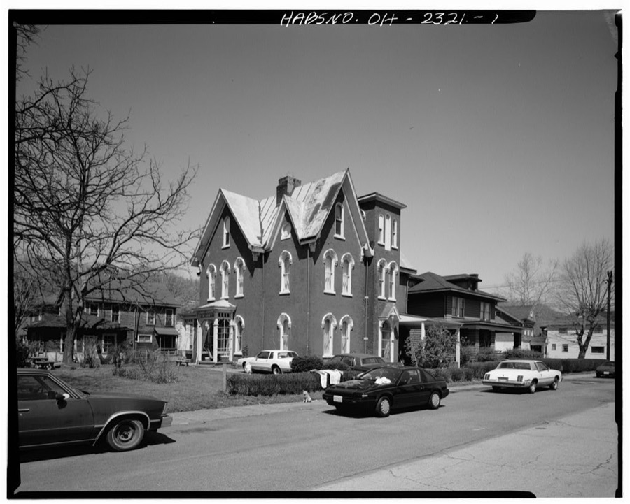
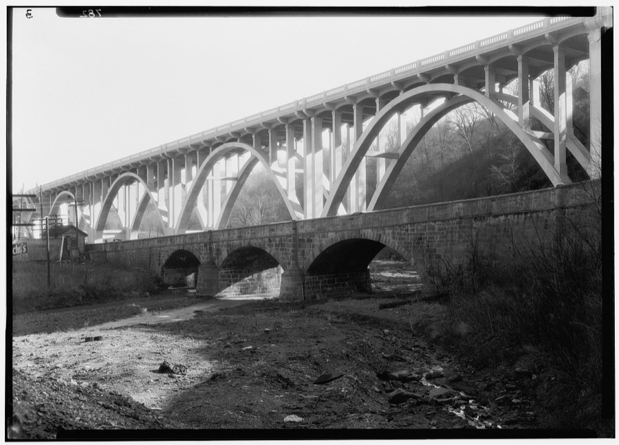
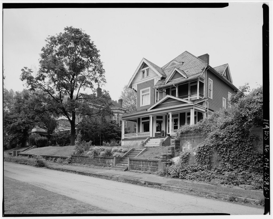
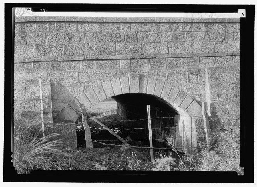
8 photographs,Taken for the Office of War Information and the Farm Security Administration, who photographed the country between 1935 and 1944. Works of United States government photographers, with no known restriction on use. Each opens its catalogue record.
Unattributed, . Library of Congress
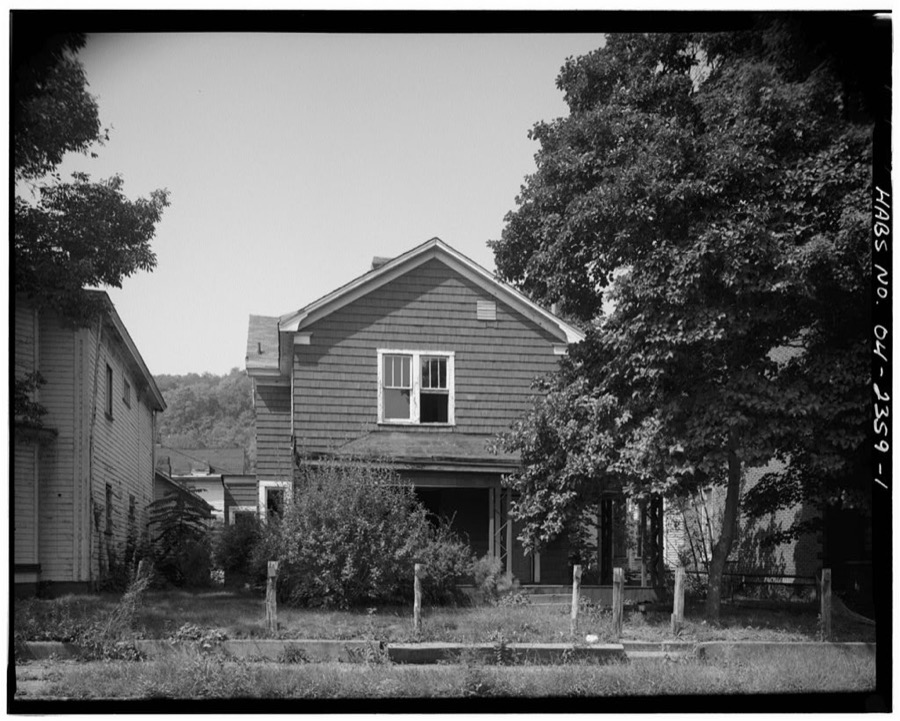
Unattributed, . Library of Congress
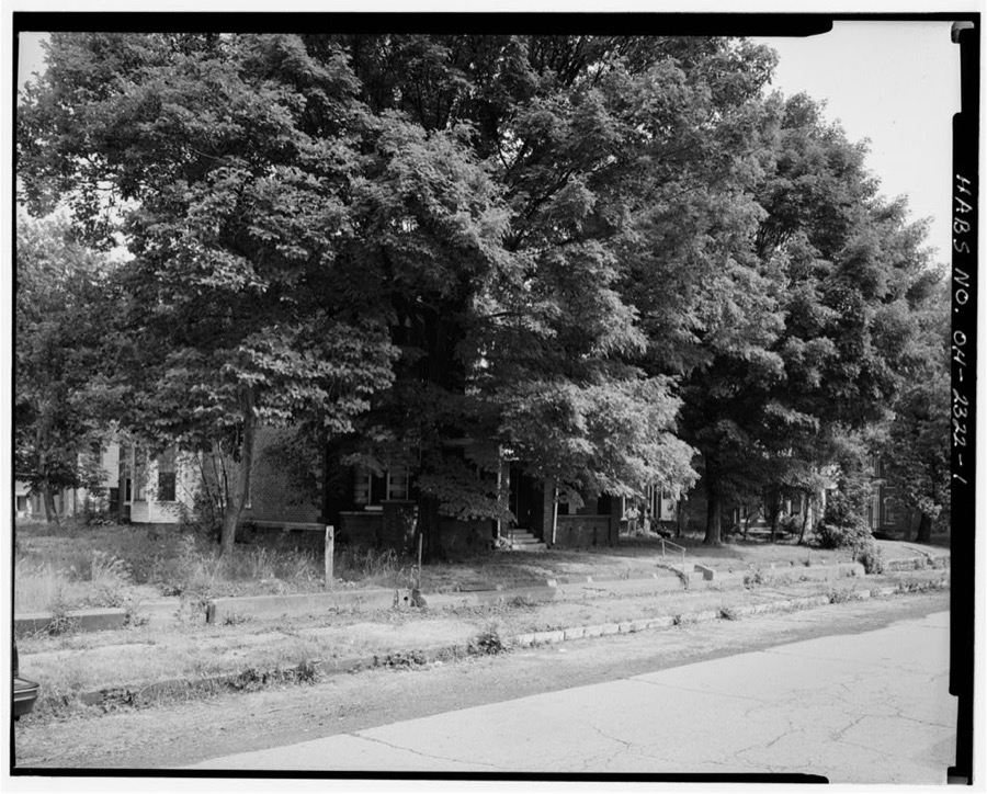
Unattributed, . Library of Congress
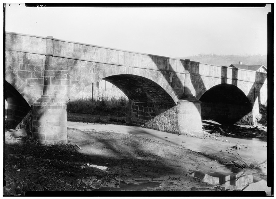
Unattributed, . Library of Congress
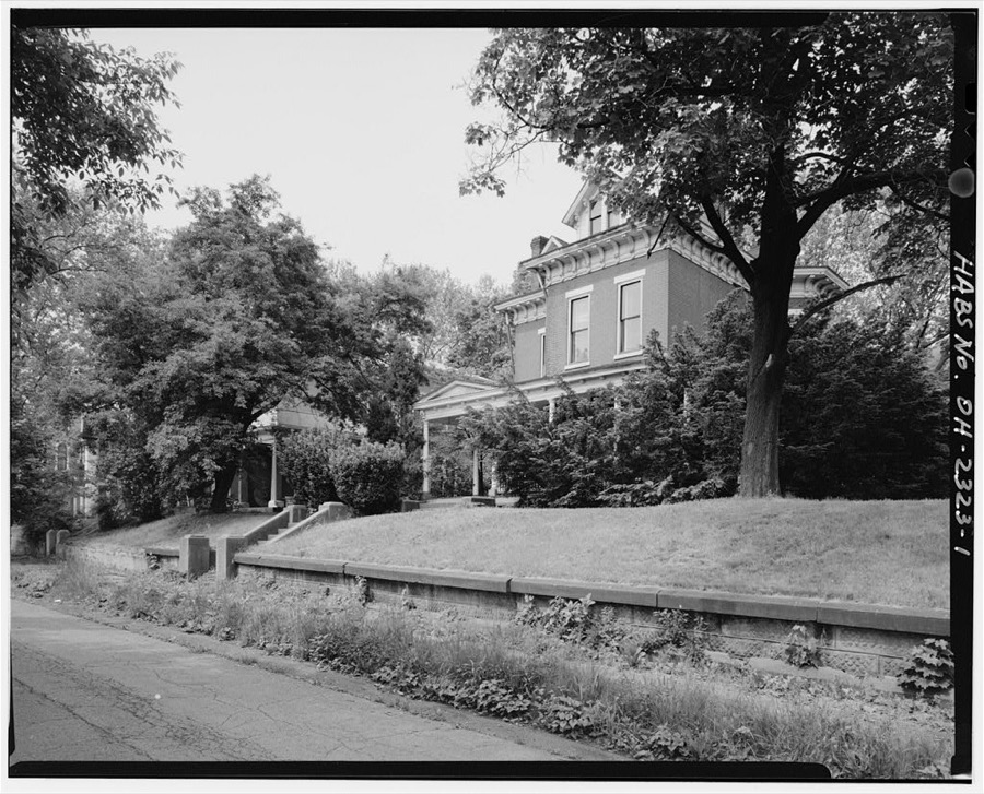
Unattributed, . Library of Congress
Unattributed, . Library of Congress
Unattributed, . Library of Congress
Unattributed, . Library of Congress
Fires near this place
9 since 2002Regional context, not property-specific evidence. The federal wildfire occurrence database lists 9 fires within 5 miles of Belmont between 2002 and 2017, burning about 55 acres in total. None started naturally. None was recorded as arson. Distance is straight-line from the map coordinates, so a fire counted here may appear on a neighbouring settlement's page as well.
| Reported cause | Fires |
|---|---|
| Debris and open burning | 5 |
| Missing data/not specified/undetermined | 2 |
| Other causes | 1 |
| Equipment and vehicle use | 1 |
The most recent of them, most recent first, with the day each was reported and the service that recorded it.
| Date | Cause | Size | Reported by | Name on the report |
|---|---|---|---|---|
| 7 September 2002 | Equipment and vehicle use | 15 acres | Ohio State Fire Marshal's Office | not named |
| 4 May 2013 | Debris and open burning | under an acre | Ohio Department of Natural Resources | not named |
| 25 March 2003 | Debris and open burning | under an acre | Ohio Department of Natural Resources | not named |
| 23 March 2017 | Other causes | under an acre | Ohio Department of Natural Resources | 7568 |
| 15 March 2014 | Debris and open burning | 2.0 acres | Ohio Department of Natural Resources | not named |
| 15 March 2014 | Missing data/not specified/undetermined | 21 acres | Ohio Department of Natural Resources | not named |
| 14 March 2014 | Missing data/not specified/undetermined | under an acre | Ohio Department of Natural Resources | not named |
| 11 March 2014 | Debris and open burning | 15 acres | Ohio Department of Natural Resources | not named |
Settlements close enough to share some of these fires:
Specimens collected near this place
12 of 229 shownRegional context, not property-specific evidence. Museums hold 229 specimens collected within 10 miles of Belmont between 1877 and 1975: 188 Animalia, 30 Plantae, 10 Fungi, 1 Unrecorded. 12 distinct Species records are shown. Collected by A. Goff, Buker, W.E., Buker, W.E.; Henry, L.K. and others. Each is a physical object with a catalogue number, and each entry opens the museum's record. This is what was collected and kept, not a survey of what lives here - nothing can be concluded from a species being absent.
| Image | Species | Year | Collected by | Where, as recorded |
|---|---|---|---|---|
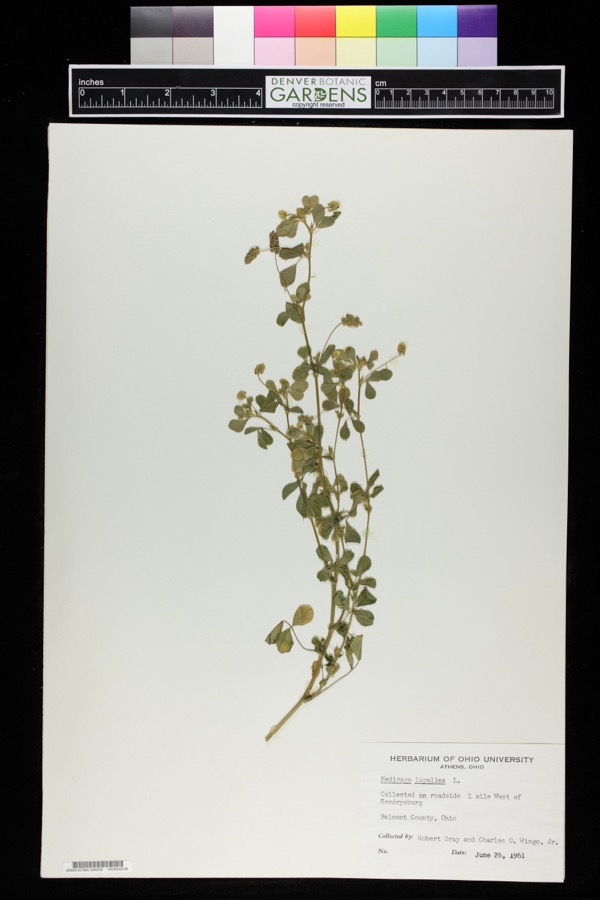 | Medicago lupulina L. | 1961 | Robert Gray; Charles O. Wingo Jr. | 1 mile west of Hendrysburg. |
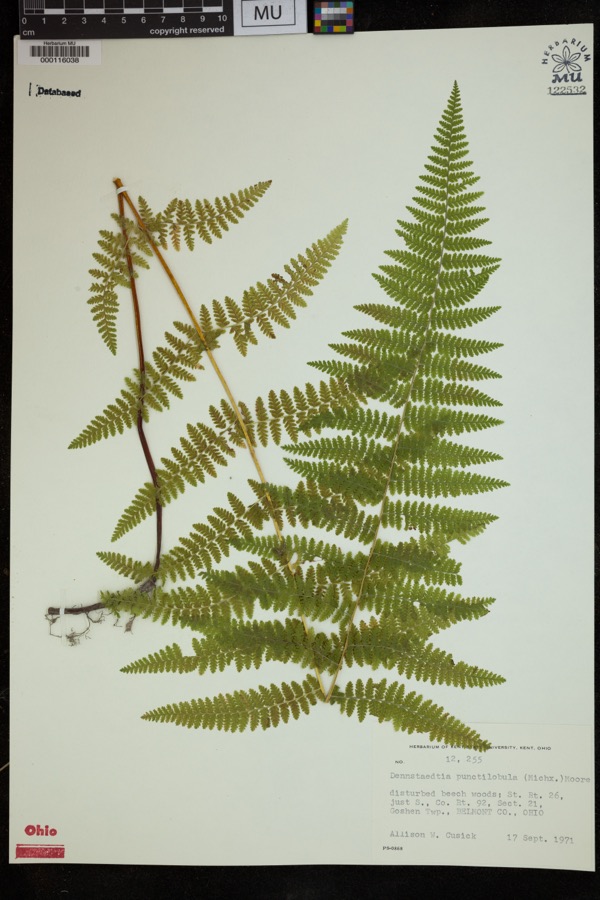 | Dennstaedtia punctilobula (Michx.) T.Moore | 1971 | Cusick, A.W. | disturbed beech woods; St. Rt. 26, just S., Co. Rt. 92, Sect 21, Goshen Twp. |
 | Hamamelis virginiana L. | 1877 | Guttenberg, G. | St. Clairsville Rd |
 | Fragaria americana (Porter) Britton | 1878 | Guttenberg, G. | St. Clairsville |
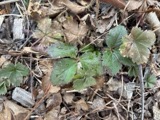 | Fragaria virginiana Mill. | 1878 | Guttenberg, G. | St. Clairsville |
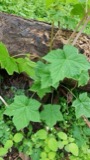 | Rubus odoratus L. | 1878 | Guttenberg, G. | S of Clairsville |
 | Dumetella carolinensis (Linnaeus, 1766) | 1884 | Jones, J. (Jesse) | Belmont, Ohio, USA |
 | Hylocichla mustelina (Gmelin, 1789) | 1885 | Jones, J. (Jesse) | West Wheeling, Belmont, Ohio, USA |
 | Quiscalus quiscula versicolor Vieillot, 1819 | 1885 | Jones, J. (Jesse) | Martin's Ferry, Belmont, Ohio, USA |
 | Turdus migratorius Linnaeus, 1766 | 1885 | Jones, J. (Jesse) | Martin's Ferry, Belmont, Ohio, USA |
 | Tyrannus tyrannus (Linnaeus, 1758) | 1885 | Jones, J. | Martin's Ferry, Belmont, Ohio, USA |
 | Zenaida macroura (Linnaeus, 1758) | 1885 | Jones, J. (Jesse) | Martin's Ferry, Belmont, Ohio, USA |
All 229 specimens within 10 miles, at the Global Biodiversity Information Facility.
Storms near this place
15 since 1995Regional context, not property-specific evidence. The National Weather Service names Belmont in 15 storm reports between 1995 and 2025: 9 thunderstorm wind, 3 hail, 2 flash flood, 1 flood. No death or injury is recorded in these reports. Each account below is quoted exactly as the forecast office filed it, from the NOAA Storm Events Database, and each date opens the federal record of that event.
| When | Event | Place named | Harm | What the report says |
|---|---|---|---|---|
| October 2011 | Flood | Belmont | $15,000 | Emergency management reported Route 149 flooded near Barkcamp State Park. |
| July 2022 | Thunderstorm Wind | Belmont | $10,000 | Multiple trees were blown down on to State Route 147. |
| August 1997 | Thunderstorm Wind | Belmont | $10,000 | Thunderstorm winds fell a tree onto a mobile home. |
| July 2013 | Thunderstorm Wind | Belmont | $5,000 | Law enforcement reported trees down on Chestnut level Road. |
| May 2002 | Thunderstorm Wind | Belmont | $5,000 | Thunderstorm wind downed several large trees and power lines. |
| July 1999 | Thunderstorm Wind | Belmont | $3,000 | Thunderstorm winds downed several trees. |
| July 2023 | Thunderstorm Wind | Belmont | $2,000 | A tree was blown down on West Main Street. |
| July 1995 | Thunderstorm Wind | Belmont | $2,000 | Numerous large trees and power lines were downed by thunderstorm winds in and between Bethesda and Belmont. |
| December 2013 | Thunderstorm Wind | Belmont | $1,000 | Local law enforcement reported trees down around the county. In addition, a trampoline was launched. |
| May 2019 | Hail | Belmont | - | A local 911 call center reported hail 1 inch in size. |
| July 2006 | Flash Flood | Belmont | - | At 935 PM EDT, water began spilling over Epworth Park Dam. People trapping in camper in Bethesda. By 1020 PM EDT, secondary creeks emptying into McMahon Creek were flooding, starting 1 mile southeast of Belmont. Water covering SR 149 near Barkcamp State Park in Goshen Twp. McMahon Creek was bankful on SR 149 in Warnock after 2.75 inches of rain. |
| February 2004 | Flash Flood | Belmont | - | Ice jam caused flooding on Route 148 between Powhatan Pt and Captina. Route 149 flooded again near Belmont at Cleves Crossing. |
| July 2003 | Thunderstorm Wind | Belmont | - | Large tree branches blown down. |
| May 2025 | Hail | Belmont | - | no account filed |
| June 2000 | Hail | Belmont | - | no account filed |
Nearest settlements
The eight closest, with where each one stands in the county. Distances are straight-line, computed from the Geographic Names Information System coordinates.
| Map | Place | Distance | Sheets |
|---|---|---|---|
| Loomis | 1.6 miles | 12 | |
| Bethesda | 2.0 miles | 12 | |
| Badgertown | 2.3 miles | 12 | |
| Lamira | 2.7 miles | 17 | |
| Morristown | 3.0 miles | 12 | |
| Lloydsville | 3.6 miles | 17 | |
| Great Western | 4.2 miles | 17 | |
| Speidel | 4.4 miles | 12 |
Elsewhere
Matched on this settlement's Geographic Names Information System number rather than its name, so it cannot be a different place of the same name in another state.
| Wikipedia article on Belmont | An encyclopaedic summary. Its text is share-alike, so it is linked here rather than copied. |
| Wikidata item Q2224633 | The structured record the population and elevation above come from. Public domain (CC0). |
Provenance
This settlement is recorded in the Geographic Names Information System as feature 1064410. The sheet list is computed by point-in-boundary test against the United States Geological Survey's historical topographic inventory. Both are works of the United States government and carry no copyright under 17 U.S.C. 105.
Wildfire. Short, Karen C. 2022. Spatial wildfire occurrence data for the United States, 1992-2020 [FPA_FOD_20221014]. 6th Edition. Fort Collins, CO: Forest Service Research Data Archive. https://doi.org/10.2737/RDS-2013-0009.6 Collected with United States Government funding and usable without additional permissions or fees.
Specimens. Global Biodiversity Information Facility (GBIF), https://www.gbif.org/. Only records licensed CC0 or CC BY are used. Records licensed CC BY-NC are excluded because this site carries advertising. Images are checked individually and any whose licence is non-commercial, no-derivatives or unreadable is refused.
Storms. NOAA National Centers for Environmental Information, Storm Events Database https://www.ncei.noaa.gov/stormevents/ A work of the United States government, no copyright under 17 U.S.C. 105. Narratives are quoted verbatim from the National Weather Service report and are not edited or summarised.