 Block
Block
Lloydsville, Ohio
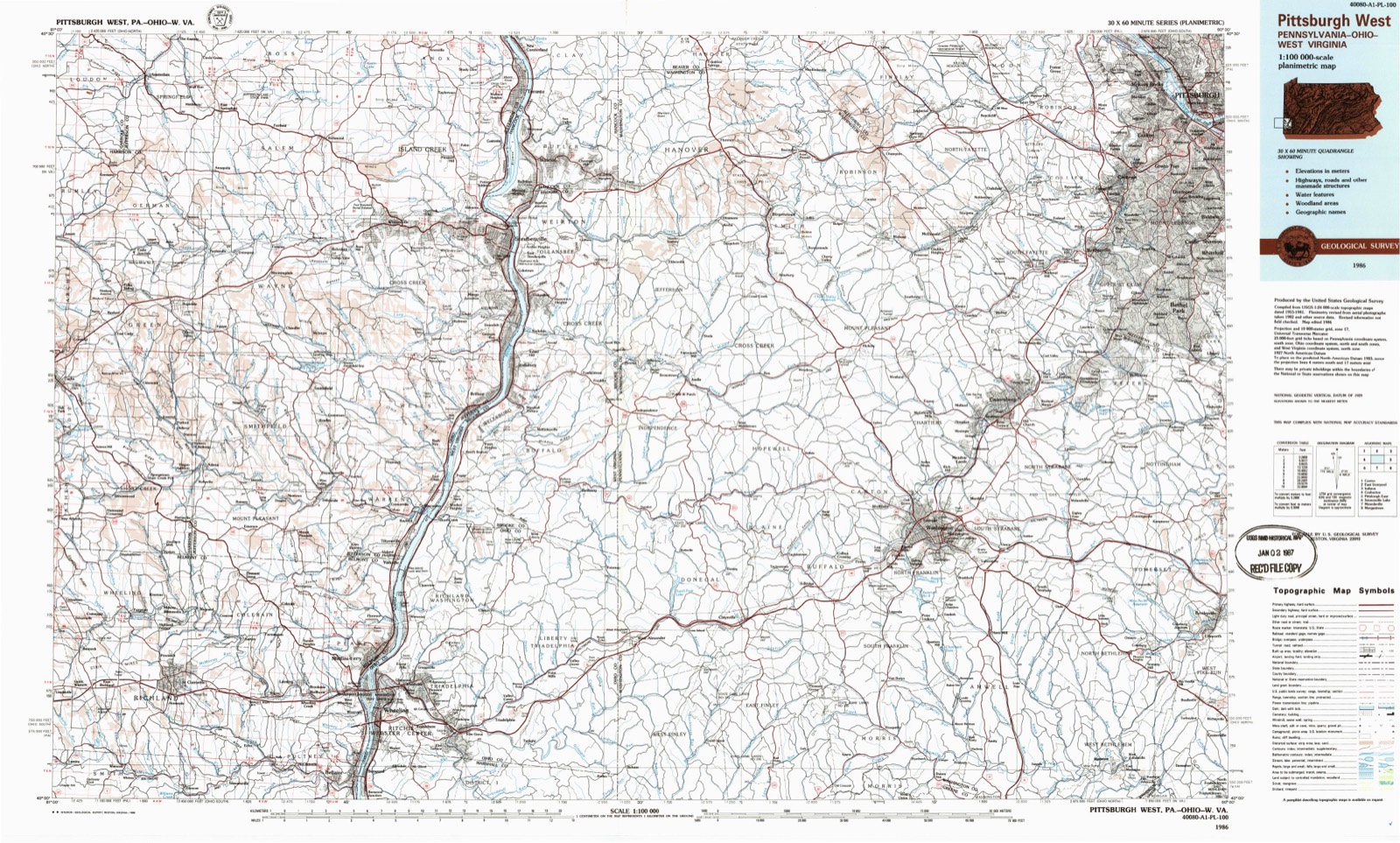
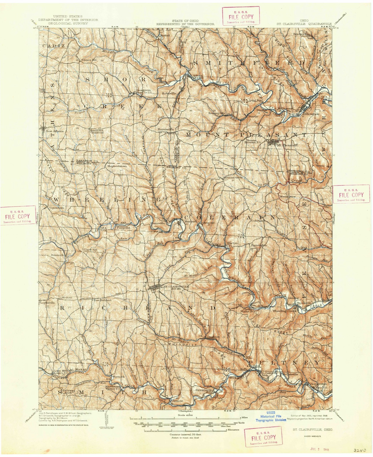
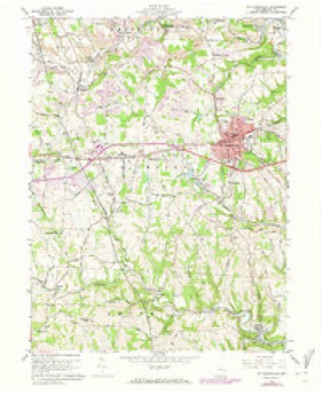
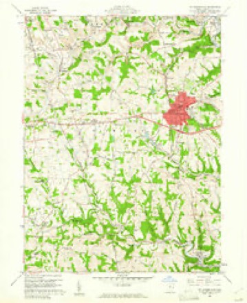
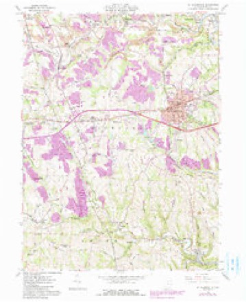
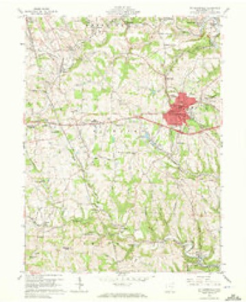
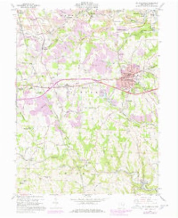
17 topographic sheets cover this place, the earliest surveyed in 1905 and the latest in 1986. It stands in Richland Township. It lies in ZIP code area 43950. The Survey maps it on the Saint Clairsville quadrangle.
Then and now
1905 to 1986The same ground, surveyed 81 years apart. Drag the handle to wipe between them. Both sheets are United States Geological Survey originals; neither has been altered.
Compare 1905 against another survey:
Topographic sheets covering this place
17 sheetsMatched by testing this settlement's coordinate against the published boundary of every sheet in the United States Geological Survey's historical collection. Each opens the scanned sheet at the Survey.
- 1905 USGS St. Clairsville quadrangle1:62500
- 1905 USGS St. Clairsville quadrangle1:62500
- 1951 USGS Canton quadrangle1:250000
- 1953 USGS Canton quadrangle1:250000
- 1957 USGS Canton quadrangle1:250000
- 1957 USGS Canton quadrangle1:250000
- 1957 USGS Canton quadrangle1:250000
- 1960 USGS St. Clairsville quadrangle1:24000
- 1960 USGS St. Clairsville quadrangle1:24000
- 1960 USGS St. Clairsville quadrangle1:24000
- 1960 USGS St. Clairsville quadrangle1:24000
- 1960 USGS St. Clairsville quadrangle1:24000
- 1962 USGS Canton quadrangle1:250000
- 1962 USGS Canton quadrangle1:250000
- 1986 USGS Pittsburgh West quadrangle1:100000
- 1986 USGS Pittsburgh West quadrangle1:100000
- 1986 USGS Pittsburgh West quadrangle1:100000







What happened here
An account from the chapter on Richland township, in the words of 1903.
Chapter Xxvii
ORO EN A P M de e nr. ae uer peste RE Na TEE A a cin lh cr nf ll ors The First Election - The Battle of Captina - The First Squatters - An Indian Village - Another Indian Massacre - The Early Mills and Distilleries - Township Officials and Population - Powhatan - Town Officials - The Flour Mills - The Sehools - The Churches - Free Masons - The Ferries.
In the 1903 county history
77,421 words on this townshipThe county history of 1903 has no passage naming this settlement, which was common for the smaller places. Its township is covered in full.
The chapter on Richland Township covers some of the first settlers, undiscovered ore mines, the population, the first election, township officials, the towns: glencoe, loyds- ville and stewartsville st. clairsville, the county seat.
Read the chapter on Richland Township - 77,421 words.
Fires nearby
11 since 2002The federal wildfire occurrence database lists 11 fires within 5 miles of Lloydsville between 2002 and 2019, burning about 58 acres in total. None started naturally. None was recorded as arson. Distance is straight-line from the map coordinates, so a fire counted here may appear on a neighbouring settlement's page as well.
| Reported cause | Fires |
|---|---|
| Debris and open burning | 6 |
| Missing data/not specified/undetermined | 3 |
| Equipment and vehicle use | 1 |
| Smoking | 1 |
The most recent of them, most recent first, with the day each was reported and the service that recorded it.
| Date | Cause | Size | Reported by | Name on the report |
|---|---|---|---|---|
| 7 September 2002 | Equipment and vehicle use | 15 acres | Ohio State Fire Marshal's Office | not named |
| 15 September 2019 | Debris and open burning | 1.2 acres | Ohio Department of Natural Resources | 15252 |
| 9 May 2017 | Smoking | under an acre | Ohio Department of Natural Resources | 9666 |
| 4 May 2013 | Debris and open burning | under an acre | Ohio Department of Natural Resources | not named |
| 14 April 2018 | Missing data/not specified/undetermined | 2.2 acres | Ohio Department of Natural Resources | 12685 |
| 25 March 2003 | Debris and open burning | under an acre | Ohio Department of Natural Resources | not named |
| 15 March 2014 | Debris and open burning | 2.0 acres | Ohio Department of Natural Resources | not named |
| 15 March 2014 | Missing data/not specified/undetermined | 21 acres | Ohio Department of Natural Resources | not named |
Settlements close enough to share some of these fires:
Specimens collected nearby
12 of 160 shownMuseums hold 160 specimens collected within 10 miles of Lloydsville between 1877 and 1975: 140 Animalia, 13 Plantae, 7 Fungi. 12 distinct Species records are shown. Collected by A. Goff, CL & LC Hubbs, Collector(s): Jim L. Hayward; Preparator(s): Jim L. Hayward and others. Each is a physical object with a catalogue number, and each entry opens the museum's record. This is what was collected and kept, not a survey of what lives here - nothing can be concluded from a species being absent.
| Image | Species | Year | Collected by | Where, as recorded |
|---|---|---|---|---|
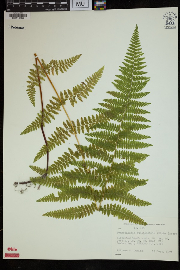 | Dennstaedtia punctilobula (Michx.) T.Moore | 1971 | Cusick, A.W. | disturbed beech woods; St. Rt. 26, just S., Co. Rt. 92, Sect 21, Goshen Twp. |
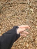 | Hamamelis virginiana L. | 1877 | Guttenberg, G. | St. Clairsville Rd |
 | Fragaria americana (Porter) Britton | 1878 | Guttenberg, G. | St. Clairsville |
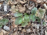 | Fragaria virginiana Mill. | 1878 | Guttenberg, G. | St. Clairsville |
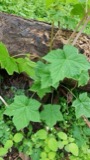 | Rubus odoratus L. | 1878 | Guttenberg, G. | S of Clairsville |
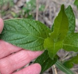 | Ruellia strepens L. | 1878 | s.c. | Mt. Echo |
 | Dumetella carolinensis (Linnaeus, 1766) | 1884 | Jones, J. (Jesse) | Belmont, Ohio, USA |
 | Hylocichla mustelina (Gmelin, 1789) | 1885 | Jones, J. (Jesse) | West Wheeling, Belmont, Ohio, USA |
 | Quiscalus quiscula versicolor Vieillot, 1819 | 1885 | Jones, J. (Jesse) | Martin's Ferry, Belmont, Ohio, USA |
 | Turdus migratorius Linnaeus, 1766 | 1885 | Jones, J. (Jesse) | Martin's Ferry, Belmont, Ohio, USA |
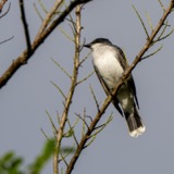 | Tyrannus tyrannus (Linnaeus, 1758) | 1885 | Jones, J. | Martin's Ferry, Belmont, Ohio, USA |
 | Zenaida macroura (Linnaeus, 1758) | 1885 | Jones, J. (Jesse) | Martin's Ferry, Belmont, Ohio, USA |
All 160 specimens within 10 miles, at the Global Biodiversity Information Facility.
Nearest settlements
The eight closest, with where each one stands in the county. Distances are straight-line, computed from the Geographic Names Information System coordinates.
| Map | Place | Distance | Sheets |
|---|---|---|---|
| Great Western | 0.7 miles | 17 | |
| Bannock | 2.2 miles | 17 | |
| East Richland | 2.4 miles | 17 | |
| Oco | 2.7 miles | 17 | |
| Loomis | 3.0 miles | 12 | |
| Lafferty | 3.0 miles | 12 | |
| Lamira | 3.3 miles | 17 | |
| Donnersville | 3.4 miles | 17 |
Provenance
This settlement is recorded in the Geographic Names Information System as feature 1082165. The sheet list is computed by point-in-boundary test against the United States Geological Survey's historical topographic inventory. Both are works of the United States government and carry no copyright under 17 U.S.C. 105.
Wildfire. Short, Karen C. 2022. Spatial wildfire occurrence data for the United States, 1992-2020 [FPA_FOD_20221014]. 6th Edition. Fort Collins, CO: Forest Service Research Data Archive. https://doi.org/10.2737/RDS-2013-0009.6 Collected with United States Government funding and usable without additional permissions or fees.
Specimens. Global Biodiversity Information Facility (GBIF), https://www.gbif.org/. Only records licensed CC0 or CC BY are used. Records licensed CC BY-NC are excluded because this site carries advertising. Images are checked individually and any whose licence is non-commercial, no-derivatives or unreadable is refused.