 Block
Block
Blanchard, Ohio
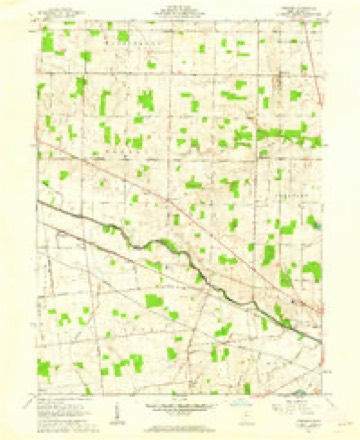
11 topographic sheets cover this place, the earliest surveyed in 1915 and the latest in 1986. It stands in Blanchard Township. It lies in ZIP code area 43326. The Survey maps it on the Foraker quadrangle.
Then and now
1915 to 1986The same ground, surveyed 71 years apart. Drag the handle to wipe between them. Both sheets are United States Geological Survey originals; neither has been altered.

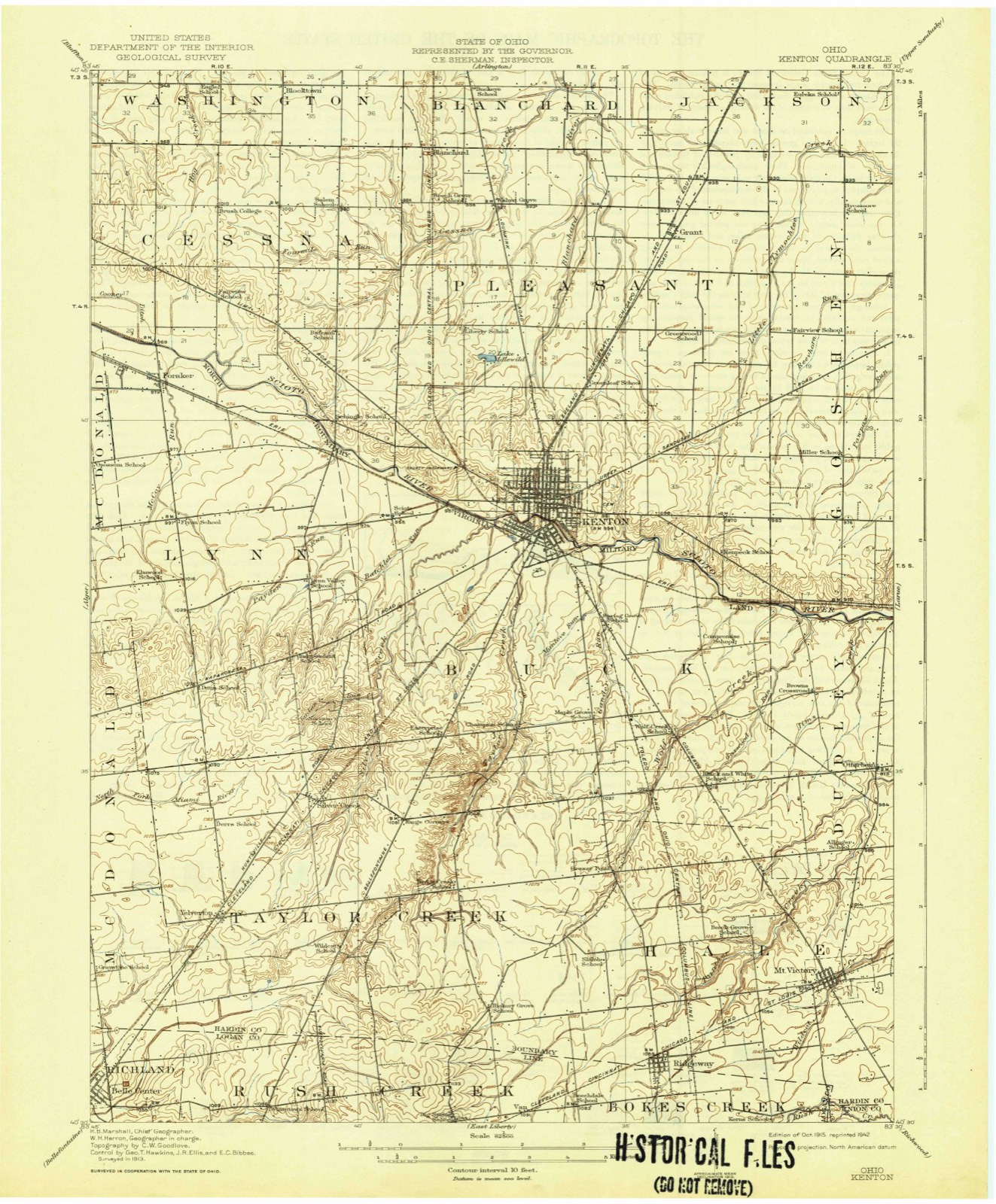
Topographic sheets covering this place
11 sheetsMatched by testing this settlement's coordinate against the published boundary of every sheet in the United States Geological Survey's historical collection. Each opens the scanned sheet at the Survey.
- 1915 USGS Kenton quadrangle1:62500
- 1944 USGS Kenton quadrangle1:62500
- 1950 USGS Marion quadrangle1:250000
- 1961 USGS Foraker quadrangle1:24000
- 1961 USGS Foraker quadrangle1:24000
- 1962 USGS Marion quadrangle1:250000
- 1966 USGS Marion quadrangle1:250000
- 1966 USGS Marion quadrangle1:250000
- 1966 USGS Marion quadrangle1:250000
- 1986 USGS Marion quadrangle1:100000
- 1986 USGS Marion quadrangle1:100000







In the county-history sources
22,247 words on this townshipThe History of Hardin County, Ohio, published 1883 names this settlement in its chapter on Blanchard Township. These are the passages that mention it, exactly as the scans read.
I then used for building macadamized roads, and for ballasting railroads. This township has built and has in construction several of these macadamized roads, and it can boast of some of the best pikes in the county. The progress and improvements here have been rapid. A little more than fifty i years ago the first white settler set his foot upon the soil of Blanchard dwellings and improvements. These, with its fine pikes, railroad, tele- : graph and telephone lines, with all their conveniences, are in marked contrast to the wilderness and wild scenes of those days. If there be the same degree of progress during the next fifty years that there has been in the past fifty, who can imagine or portray the condition* of this people and country theny It is beyond the power of the pen of the historian, and we i can only leave it to be developed as the years roil by.
Passage source: The History of Hardin County, Ohio, published 1883.
The first to penetrate the forests of Blanchard and to make a permanent settlement here was David H. Edgar, who was born in Beaver County, Penn., September 8, 1800, and who in 18 L4, with his father, Joseph Edgar, and his family came to Holmes County, Ohio, where the parents died. In June, 1830, David left Holmes County, and came to this county and entered eighty acres of land on the northeast quarter of Section 18, in Blanchard Township. There were then three families who had settled on ' the Blanchard in Jackson Township, viz., James E. Hueston, Joseph Bates and Daniel Hamblin, the first mentioned being his nearest neighbor - a distance of five miles. In the following winter, Mr. Edgar taught a subscription school, for the above-mentioned families, in an old log cabin on the Hueston farm, formerly occupied by him as a dwelling, but which he had previously vacated. This was the first school ever taught in the north part of Hardin County. In March, 1831, Mr. Edgar was united in marriage with one of his scholars - Miss Azuba Hamblin. During this year, he farmed the place belonging to the heirs of D. Hamblin, and, in the spring of 1832 he located in his own cabin, on the eighty acres he had entered in 1830, and here commenced the struggle of life. In January, 1834, was born to them a daughter, the first child born in Blanchard Township. Mr. Edgar says that at the time of this occurrence, there were but three women in the three townships of Jackson, Blanchard and Washington, and those three were present, and took charge of affairs on this occasion. His cabin had been " chinked and daubed," and with some deer skins tacked over the crevices in the walls, and others laid upon the floor, made the cabin as comfortable as possible for the occasion, occurring, as it did, in midwinter. But all things passed oft well, and Mr. Edgar says that on no similar occasion since, with a warm and comfortable house, and the attendance of a skillful physician, have they ever passed through the ordeal more successfully than on that first occasion in the rude and cold log cabin, with the three neighbor women in attendance. He thinks that many in the fashionable society of to-day, with their fine houses and comforts, could they have looked in upon that scene in that rude, rough cabin, would have pronounced it death to both mother and child!
Passage source: The History of Hardin County, Ohio, published 1883.
We find no records preserved of the first four years of the existence of Blanchard Townsliip, but from 1838-39 to the present time tliero is a good record, and we here present the officials from those years down to 1870. The first elections, and those for many years, were held at private houses. The officers have been as follows;
Passage source: The History of Hardin County, Ohio, published 1883.
Machine-read from a century-old scan, so expect the errors a machine makes: misspelled names, dropped words, stray characters.
Read the whole chapter on Blanchard Township - it names this place 42 more 42 times.
Fires near this place
3 since 2002Regional context, not property-specific evidence. The federal wildfire occurrence database lists 3 fires within 5 miles of Blanchard between 2002 and 2002, burning about 0 acres in total. None started naturally. None was recorded as arson. Distance is straight-line from the map coordinates, so a fire counted here may appear on a neighbouring settlement's page as well.
| Reported cause | Fires |
|---|---|
| Missing data/not specified/undetermined | 2 |
| Equipment and vehicle use | 1 |
The most recent of them, most recent first, with the day each was reported and the service that recorded it.
| Date | Cause | Size | Reported by | Name on the report |
|---|---|---|---|---|
| 10 September 2002 | Equipment and vehicle use | under an acre | Ohio State Fire Marshal's Office | not named |
| 5 July 2002 | Missing data/not specified/undetermined | under an acre | Ohio State Fire Marshal's Office | not named |
| 23 March 2002 | Missing data/not specified/undetermined | under an acre | Ohio State Fire Marshal's Office | not named |
Settlements close enough to share some of these fires:
Specimens collected near this place
12 of 173 shownRegional context, not property-specific evidence. Museums hold 173 specimens collected within 10 miles of Blanchard between 1900 and 1973: 121 Animalia, 31 Plantae, 20 Fungi, 1 Unrecorded. 12 distinct Species records are shown. Collected by ?, Anson A. Hinkley, Bartholomew E. and others. Each is a physical object with a catalogue number, and each entry opens the museum's record. This is what was collected and kept, not a survey of what lives here - nothing can be concluded from a species being absent.
| Image | Species | Year | Collected by | Where, as recorded |
|---|---|---|---|---|
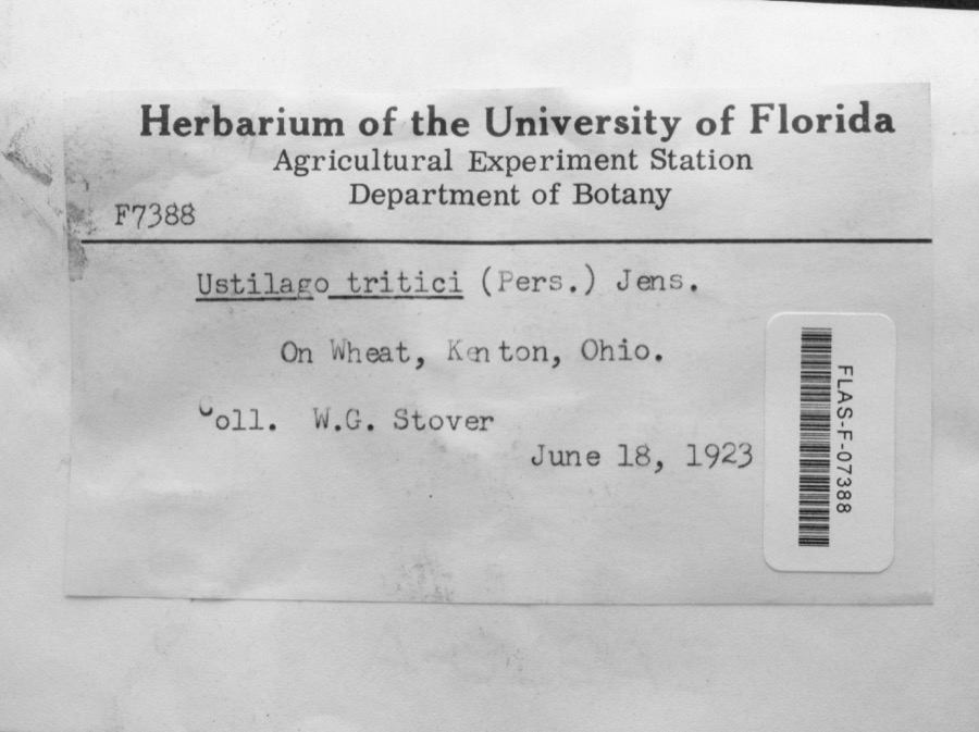 | Ustilago tritici (Bjerk.) Rostr. | 1923 | W.G. Stover | Kenton |
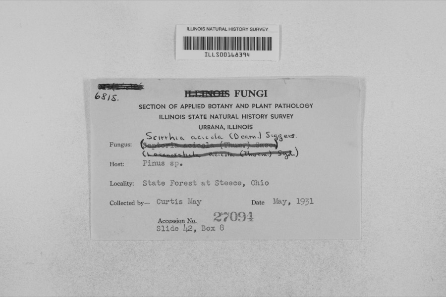 | Mycosphaerella dearnessii M.E.Barr | 1931 | Curtis May | State Forest at Steece |
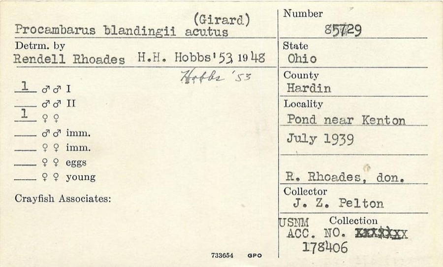 | Procambarus blandingii (Harlan, 1830) | 1939 | J. Pelton | Pond near Kenton |
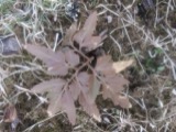 | Botrychium dissectum Spreng. | 1900 | Medsger, O.P. | near Ada |
 | Carex lupulina Muhl. ex Willd. | 1900 | Medsger, O.P. | near Ada |
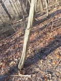 | Carpinus caroliniana subsp. virginiana (Marshall) Furlow | 1900 | Medsger, O.P. | near Ada |
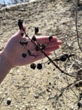 | Cephalanthus occidentalis L. | 1900 | Medsger, O.P. | near Ada |
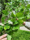 | Crataegus mollis (Torr. & A.Gray) Scheele | 1900 | Medsger, O.P. | near Ada |
| Cyperus strigosus L. | 1900 | Medsger, O.P. | Ada | |
| Mimulus alatus Aiton | 1900 | Medsger, O.P. | near Ada | |
| Penthorum sedoides L. | 1900 | Medsger, O.P. | near Ada | |
| Quercus macrocarpa Michx. | 1900 | Plurdeger, O. | near Ada |
All 173 specimens within 10 miles, at the Global Biodiversity Information Facility.
Mines and quarries near this place
2 within 5 milesRegional context, not property-specific evidence. The federal mineral resources record lists 2 workings within 5 miles of Blanchard: 1 past producer, 1 producer. 1 still produces. What was taken out: Limestone, General. Distance is straight-line from the map coordinates, so a quarry counted here may appear on a neighbouring settlement's page as well.
| Where | Site | Commodity | Status | Recorded |
|---|---|---|---|---|
| Hardin Quarry | Limestone, General | Past Producer | Sedimentary | |
| Hardin Quarry | Limestone, General | Producer |
Nearest settlements
The eight closest, with where each one stands in the county. Distances are straight-line, computed from the Geographic Names Information System coordinates.
| Map | Place | Distance | Sheets |
|---|---|---|---|
| Walnut Grove | 1.4 miles | 12 | |
| Bridgeport | 2.4 miles | 12 | |
| Blocktown (historical) | 2.7 miles | 11 | |
| Dunkirk | 3.9 miles | 12 | |
| Grant | 4.3 miles | 12 | |
| Dola | 4.4 miles | 12 | |
| Westview Estates | 5.6 miles | 12 | |
| McVitty | 6.0 miles | 12 |
Elsewhere
Matched on this settlement's Geographic Names Information System number rather than its name, so it cannot be a different place of the same name in another state.
| Wikipedia article on Blanchard | An encyclopaedic summary. Its text is share-alike, so it is linked here rather than copied. |
| Wikidata item Q22033309 | The structured record the population and elevation above come from. Public domain (CC0). |
Provenance
This settlement is recorded in the Geographic Names Information System as feature 1060880. The sheet list is computed by point-in-boundary test against the United States Geological Survey's historical topographic inventory. Both are works of the United States government and carry no copyright under 17 U.S.C. 105.
Wildfire. Short, Karen C. 2022. Spatial wildfire occurrence data for the United States, 1992-2020 [FPA_FOD_20221014]. 6th Edition. Fort Collins, CO: Forest Service Research Data Archive. https://doi.org/10.2737/RDS-2013-0009.6 Collected with United States Government funding and usable without additional permissions or fees.
Specimens. Global Biodiversity Information Facility (GBIF), https://www.gbif.org/. Only records licensed CC0 or CC BY are used. Records licensed CC BY-NC are excluded because this site carries advertising. Images are checked individually and any whose licence is non-commercial, no-derivatives or unreadable is refused.
Mines and quarries. USGS Mineral Resources Data System (MRDS) https://mrdata.usgs.gov/mrds/ A work of the United States government, no copyright under 17 U.S.C. 105.