 Block
Block
McVitty, Ohio
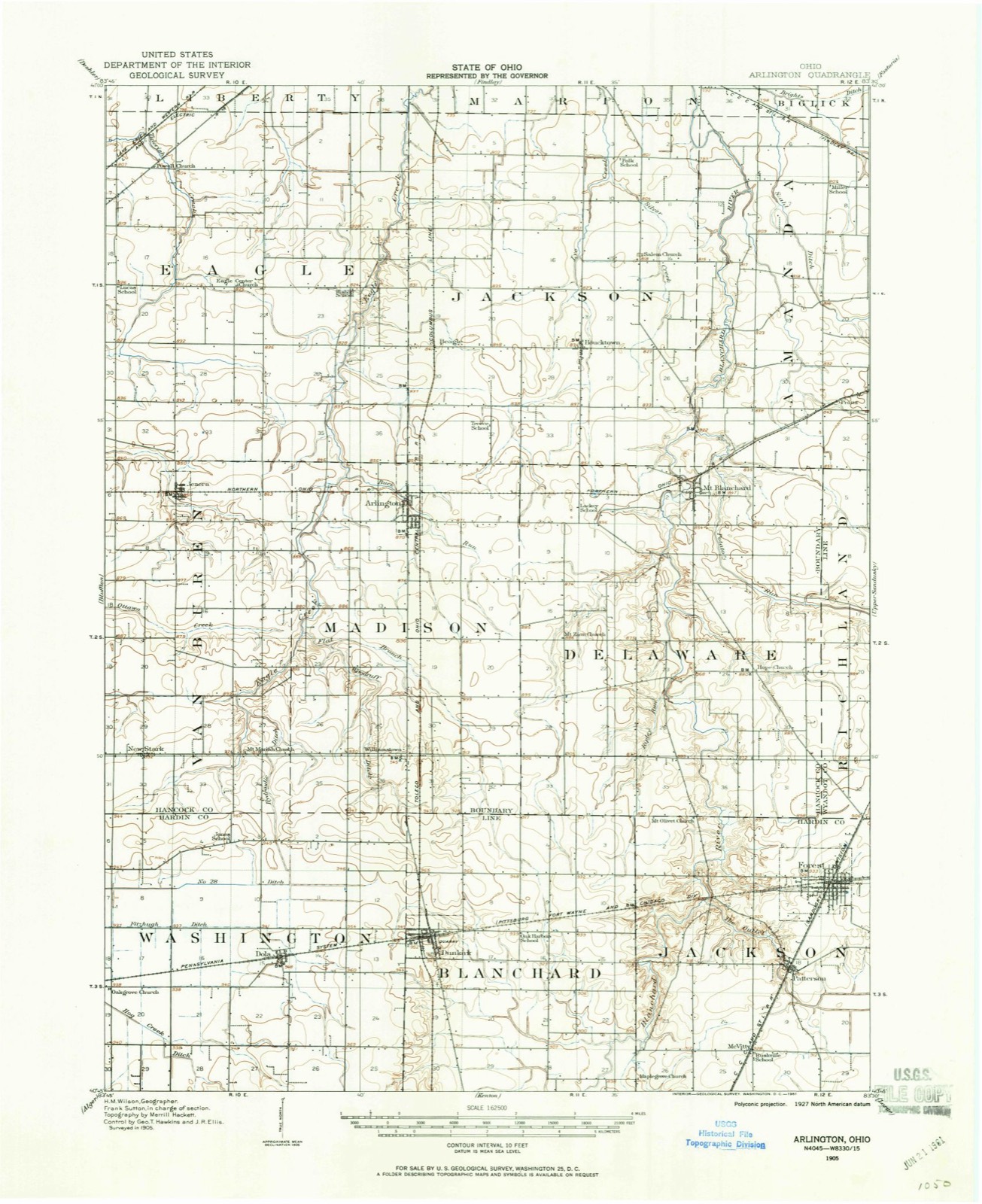
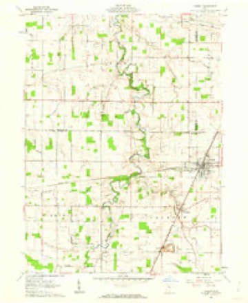
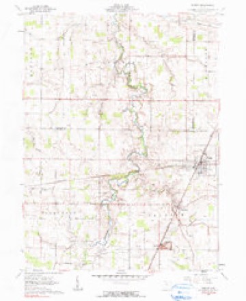
12 topographic sheets cover this place, the earliest surveyed in 1905 and the latest in 1986. It stands in Jackson Township. It lies in ZIP code area 45843. The Survey maps it on the Forest quadrangle.
Then and now
1905 to 1986The same ground, surveyed 81 years apart. Drag the handle to wipe between them. Both sheets are United States Geological Survey originals; neither has been altered.

Topographic sheets covering this place
12 sheetsMatched by testing this settlement's coordinate against the published boundary of every sheet in the United States Geological Survey's historical collection. Each opens the scanned sheet at the Survey.
- 1905 USGS Arlington quadrangle1:62500
- 1907 USGS Arlington quadrangle1:62500
- 1907 USGS Arlington quadrangle1:24000
- 1950 USGS Marion quadrangle1:250000
- 1961 USGS Forest quadrangle1:24000
- 1961 USGS Forest quadrangle1:24000
- 1962 USGS Marion quadrangle1:250000
- 1966 USGS Marion quadrangle1:250000
- 1966 USGS Marion quadrangle1:250000
- 1966 USGS Marion quadrangle1:250000
- 1986 USGS Marion quadrangle1:100000
- 1986 USGS Marion quadrangle1:100000







In the county-history sources
15,061 words on this townshipThe History of Hardin County, Ohio, published 1883 names this settlement in its chapter on Jackson Township. These are the passages that mention it, exactly as the scans read.
John McVitty was born in Franklin County, Penn., April 25, 1808, of Scotch-Irish descent. He settled here in 1837, entering a quarter section of land in Section 14. He taught, it is believed, the first school in the township, which was on the farm of Thomas Hueston. He died December 11, 1881. He was the father of twelve children, of whom five now survive. Mr. McVitty was one among the best of farmers, and an honorable and worthy citizen.
Passage source: The History of Hardin County, Ohio, published 1883.
As the first settlement was made on the Blanchard, and the first family was Mr. James E. Hueston, so here, on the east side of that stream, on Mr. Hueston's land, near where the cemetery is located, or near where the pike crosses the stream, was erected the first schoolhouse - one of the primitive log houses - and John McVitty is said to have been the first teacher. This schoolhouse was used for school purposes about five years, at the expiration of which anew one was built on Section 12, on land which is now owned by D. Kellogg, and about the same time one was erected on Section 2, near where the District No. 2 Schoolhouse now stands. And thus, as the settlements increased in the various portions over the township, new districts were formed and schoolhouses erected; and finally the old, primitive cabins were supplanted by good frame and brick houses. And now (1882-83), the following is the condition of the schools in the township and in the townsof Forest and Patterson, as shown by the reports of the Boards of Education: Total receipts for school purposes for the schools (excluding those in Forest and Patterson), $5,029.30; total expenditure for the same, $3,- 615.95; balance on hand the 1st of September, 1882, $1,413.35. Number of schoolhouses, 5; number of teachers necessary to supply the same, 5; average wages of teachers - male, $33.93; female, $19.50. Average number of weeks schools were in session, 27; enrollment of scholars - boys, 96; girls, 100; total, 198. Total value of school property, $5,000.
Passage source: The History of Hardin County, Ohio, published 1883.
The town now contains a population of about four hundred, with one general store, by M. C. McVitty, who is doing a large and prosperous trade; one grocery, by J. Swimley; one hotel, by John Perry; one blacksmith shop, by Funk Bros. ; one wagon shop, by William Silverthorn; one shoe shop, by P. Woodard; one drug store, by Mr. Phillips; one billiard room, by D. Wilson; one grist mill, which is the building formerly used as the warehouse, which .was transformed into a mill in 1863 by a joint-stock company, and subsequently bought by Capt, P. C. Boslow, who was succeeded by John Pouch, of Upper Sandusky, the present proprietor; one saw mill, erected b}^ H. G. Harris in 1847, now owned by Funk Bros., and one cooper shop, by D. R. Timmons. There are two churches, Presbyterian and I Methodist, and one good brick schoolhouse with three rooms, erected i n i 1867 at a cost of about 15,000.
Passage source: The History of Hardin County, Ohio, published 1883.
Machine-read from a century-old scan, so expect the errors a machine makes: misspelled names, dropped words, stray characters.
Read the whole chapter on Jackson Township - it names this place 3 more 3 times.
Fires near this place
1 since 2002Regional context, not property-specific evidence. The federal wildfire occurrence database lists 1 fire within 5 miles of McVitty between 2002 and 2002, burning about 0 acres in total. None started naturally. None was recorded as arson. Distance is straight-line from the map coordinates, so a fire counted here may appear on a neighbouring settlement's page as well.
| Reported cause | Fires |
|---|---|
| Recreation and ceremony | 1 |
The most recent of them, most recent first, with the day each was reported and the service that recorded it.
| Date | Cause | Size | Reported by | Name on the report |
|---|---|---|---|---|
| 2 August 2002 | Recreation and ceremony | under an acre | Ohio State Fire Marshal's Office | not named |
Settlements close enough to share some of these fires:
Specimens collected near this place
12 of 92 shownRegional context, not property-specific evidence. Museums hold 92 specimens collected within 10 miles of McVitty between 1910 and 1973: 74 Animalia, 18 Fungi. 12 distinct Species records are shown. Collected by Anson A. Hinkley, Bartholomew E., Bartholomew, Elam and others. Each is a physical object with a catalogue number, and each entry opens the museum's record. This is what was collected and kept, not a survey of what lives here - nothing can be concluded from a species being absent.
| Image | Species | Year | Collected by | Where, as recorded |
|---|---|---|---|---|
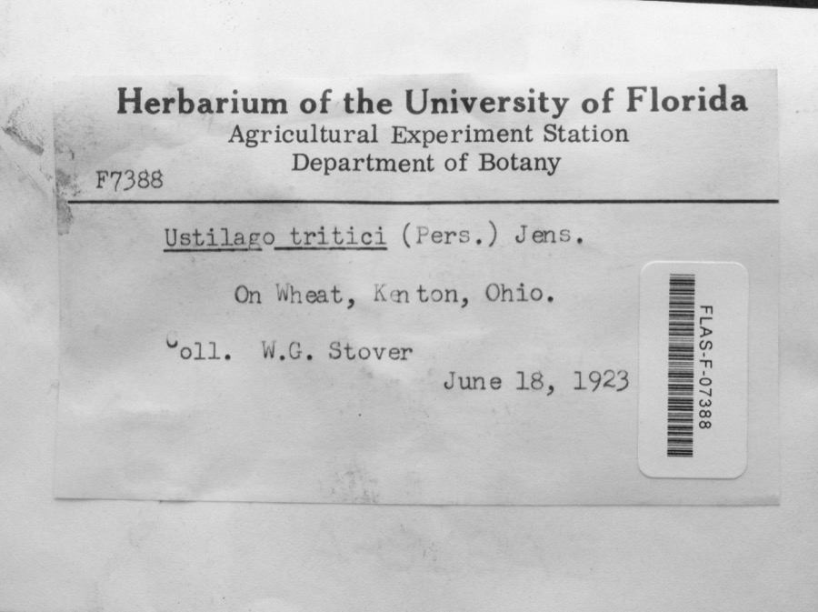 | Ustilago tritici (Bjerk.) Rostr. | 1923 | W.G. Stover | Kenton |
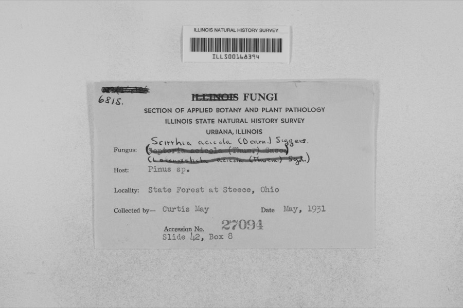 | Mycosphaerella dearnessii M.E.Barr | 1931 | Curtis May | State Forest at Steece |
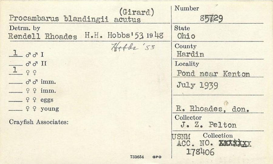 | Procambarus blandingii (Harlan, 1830) | 1939 | J. Pelton | Pond near Kenton |
 | Guignardia bidwellii (Ellis) Viala & Ravaz | 1910 | Heckathorne H. E. | Kenton |
 | Laestadia bidwellii (Ellis) Viala & Ravaz | 1910 | Heckathorne H. E. | Kenton |
 | Puccinia asterum (Schwein.) F.Kern | 1913 | Bartholomew E. | Kenton |
 | Puccinia caricis-solidaginis Arthur | 1913 | E. Bartholomew | Kenton |
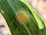 | Puccinia dioicae Magnus | 1913 | Bartholomew, Elam T | Kenton |
 | Puccinia extensicola Plowr. | 1913 | E. Bartholomew | Kenton. |
| Elimia semicarinata (Say, 1829) | 1914 | Anson A. Hinkley | Scioto River, Kenton, near headwaters, North America | |
| Eupelmidae | 1917 | VL Wildermuth | Kenton | |
| Limenitis arthemis astyanax (Fabricius, 1775) | 1925 | not recorded |
All 92 specimens within 10 miles, at the Global Biodiversity Information Facility.
Mines and quarries near this place
3 within 5 milesRegional context, not property-specific evidence. The federal mineral resources record lists 3 workings within 5 miles of McVitty: 2 past producers, 1 producer. 1 still produces. What was taken out: Limestone, General, Stone, Stone, Crushed/Broken. Distance is straight-line from the map coordinates, so a quarry counted here may appear on a neighbouring settlement's page as well.
| Where | Site | Commodity | Status | Recorded |
|---|---|---|---|---|
| Boich Lime and Coal Quarry | Limestone, General | Past Producer | Sedimentary | |
| Boich Lime and Coal Quarry | Stone, Crushed/Broken | Past Producer | ||
| Standard Pit | Stone | Producer |
Nearest settlements
The eight closest, with where each one stands in the county. Distances are straight-line, computed from the Geographic Names Information System coordinates.
| Map | Place | Distance | Sheets |
|---|---|---|---|
| Patterson | 1.4 miles | 12 | |
| Forest | 3.1 miles | 12 | |
| Bridgeport | 3.6 miles | 12 | |
| Grant | 3.9 miles | 12 | |
| Walnut Grove | 5.5 miles | 12 | |
| Dunkirk | 5.9 miles | 12 | |
| Blanchard | 6.0 miles | 11 | |
| Blocktown (historical) | 8.2 miles | 11 |
Elsewhere
Matched on this settlement's Geographic Names Information System number rather than its name, so it cannot be a different place of the same name in another state.
| Wikidata item Q122558788 | The structured record the population and elevation above come from. Public domain (CC0). |
Provenance
This settlement is recorded in the Geographic Names Information System as feature 1062884. The sheet list is computed by point-in-boundary test against the United States Geological Survey's historical topographic inventory. Both are works of the United States government and carry no copyright under 17 U.S.C. 105.
Wildfire. Short, Karen C. 2022. Spatial wildfire occurrence data for the United States, 1992-2020 [FPA_FOD_20221014]. 6th Edition. Fort Collins, CO: Forest Service Research Data Archive. https://doi.org/10.2737/RDS-2013-0009.6 Collected with United States Government funding and usable without additional permissions or fees.
Specimens. Global Biodiversity Information Facility (GBIF), https://www.gbif.org/. Only records licensed CC0 or CC BY are used. Records licensed CC BY-NC are excluded because this site carries advertising. Images are checked individually and any whose licence is non-commercial, no-derivatives or unreadable is refused.
Mines and quarries. USGS Mineral Resources Data System (MRDS) https://mrdata.usgs.gov/mrds/ A work of the United States government, no copyright under 17 U.S.C. 105.