 Block
Brimfield, Ohio
11 topographic sheets cover this place, the earliest surveyed in 1906 and the latest in 1994. It stands in Brimfield Township. It lies in ZIP code area 44240. The Survey maps it on the Suffield quadrangle. 3,365 people lived here at the 2020 count. It stands 1,106 feet above sea level.
Then and now
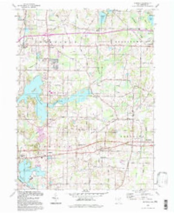
1906 to 1994The same ground, surveyed 88 years apart. Drag the handle to wipe between them. Both sheets are United States Geological Survey originals; neither has been altered.
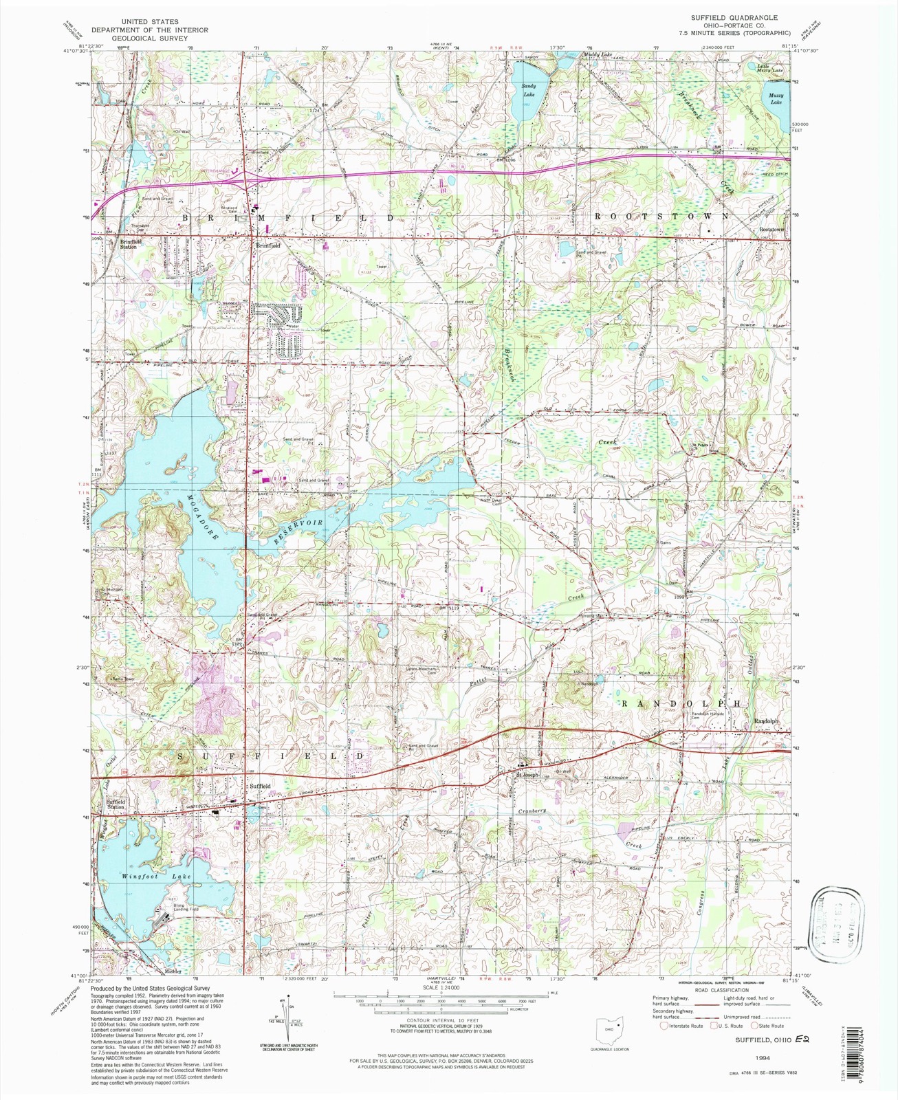
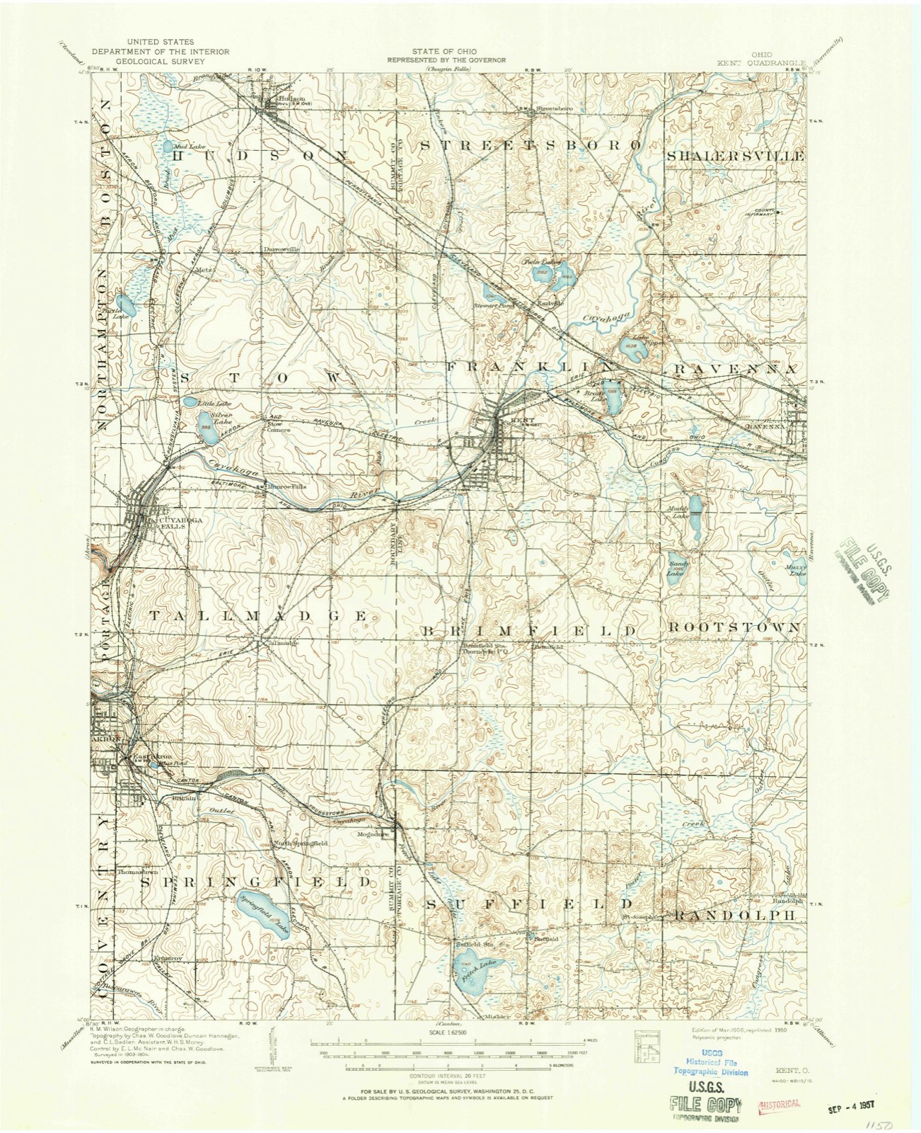
Compare 1906 against another survey:
Population over time
3 figuresBrimfield grew from 3,248 to 3,365 between 2000 and 2020. These are the recorded population figures Wikidata holds for this place, reached through the Geographic Names Information System number this page is keyed on rather than by name, so they belong to this place and not to another of the same name. Most are census counts, but not all are: an early figure may be a founding or settlement estimate, and an estimate published within five years of a census is left out. The change column is computed, and is left blank where more than 20 years separate a figure from the one before it, because a gap that long is not a change between two counts.
| Year | People | Change |
|---|---|---|
| 2000 | 3,248 | |
| 2010 | 3,343 | +95 (+3%) |
| 2020 | 3,365 | +22 (+1%) |
Topographic sheets covering this place
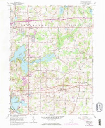
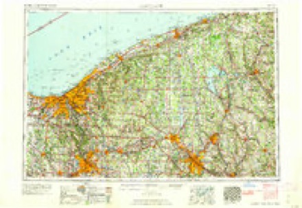
7 surveys from 11 printed sheetsMatched by testing this settlement's coordinate against the published boundary of every sheet in the United States Geological Survey's historical collection. Each opens the scanned sheet at the Survey.
- 1906 USGS Kent quadrangle1:62500, 2 printings
- 1956 USGS Cleveland quadrangle1:250000, 3 printings
- 1960 USGS Suffield quadrangle1:24000, 2 printings
- 1962 USGS Cleveland quadrangle1:250000
- 1986 USGS Cleveland South quadrangle1:100000
- 1994 USGS Cleveland South quadrangle1:100000
- 1994 USGS Suffield quadrangle1:24000
In the county-history sources
6,006 words on this townshipHistory of Portage County, Ohio, published 1885 names this settlement in its chapter on Brimfield Township. These are the passages that mention it, exactly as the scans read.
Superior Street, Cleveland, afterward very valuable, and several hundred acres of land in Geauga County, were thrown into the, bargain by the Equalizing Committee. The honest old speculators, however, were slightly mistaken, for Brimfield is now one of the best sections of the county, and the "swamp" lands are among the best grazing spots to be found anywhere.
Passage source: History of Portage County, Ohio, published 1885.
Flowers, Edwin Barber, Guy Doolittle and Julius Blake; further south on the Corners, was Philo Taylor; next, Joseph Gilbreath, John Gilbreath and Barnett Stilwell; commencing at the north line again, we find Deacon Harmon Bradley, Arba Twitchel. the Wolford family on the Henry Boszor farm, William Hall and father, Benjamin Hall, Deacon Henry Hall, Reuben Hall, Oliver Sawyer; south at the Corners, Cone Andrews; south, John Boosinger, Harris Sherman; south on the hill, William .James, John Shelhorn; a little west, William Davidson, and south of him, William Spaulding; following the east and west road, south from the Center, were Conrad Fowser, Samuel Myers, Peter Osborn ; south of the Corners, Thomas Parsons, Deacon Edward Parsons, Moses Birge and Peter Hockobout; east from the Corners there was no house for two miles; north from the Corners, toward the Center, was Sullivan MoiiltoQ, George Moulton, Anson Moultou, Augustus Moulton, George Price, William Price, Jonathan Price; west from the Center, Solomon Carver, Henry Savsryer, Hiram King, Dr. Lincoln, Abel Forcha and Benjamin Haynes; north from the Center, were Martin T. Hackett, Nathaniel Beasley, Henry Boszor, Nathaniel Packard and Champ] ain Minard; at the Center, Deacon Alpheus Andrews; east. Widow Harrison, G. Moulton, Capt. Chapman, Harry Chapman, Joseph Chapman, Abner H. Lanphare, James Blake, Orrin Blake, Judge Jeremiah Moulton, Sluman Able, E. A. Palmer and Alpheus Underwood; south on the diagonal road, David Coburn, John V. Gardner and Abel Burt; north of Gardner was Isaac Osborn, Jeremiah Pike, Andrew Coosard, John Hill; east from the Corners were Albert Undei'wood, Lybia Underwood, Augustus Minard and David Fuller; north from the Corners, Freeman Underwood, Frederick Jones, William Smith, Martin Edson, Huedang Hall, Benjamin Cady, Elisha Burnett and Isaac Ives; in the northeast corner of the town were Levi Stoddard, Thomas Cartwright, Lucius Edson, Joseph Williard, Frederick Moore, Lyman Barber, Benjamin Edson, Beverly Y. Buss and Chauncy Isbell.
Passage source: History of Portage County, Ohio, published 1885.
From 1821 to 1840 came the following persons: Col. H. L. Carter, William Sessions, Hiram Ewell, Alvin Needham, Erasmus Needham, Valorous Needham, Williard Thomas, Algernon Thomas, James Furrey. old Father Cairier and his son Lucius, George Guiestwite, Conrad Neff, Dr. Samuel Hastings, William R. Kelso, John Kelso, Charles Edson, David L. Rockwell, Joel Burnett, the Bard family, Leverett Black, Ebenezer Rawson, Porter King, William Meloy, the Stow family and many others."
Passage source: History of Portage County, Ohio, published 1885.
Machine-read from a century-old scan, so expect the errors a machine makes: misspelled names, dropped words, stray characters.
Read the whole chapter on Brimfield Township - it names this place 6 more 6 times.
Specimens collected near this place
12 of 728 shownRegional context, not property-specific evidence. Museums hold 728 specimens collected within 10 miles of Brimfield between 1883 and 1975: 470 Animalia, 224 Plantae, 31 Fungi, 1 Protozoa, 1 Unrecorded, 1 Bacteria. 12 distinct Species records are shown. Collected by A. D. Huryn, A. F. Clewell, A. K. Wyatt and others. Each is a physical object with a catalogue number, and each entry opens the museum's record. This is what was collected and kept, not a survey of what lives here - nothing can be concluded from a species being absent.
| Image | Species | Year | Collected by | Where, as recorded |
|---|---|---|---|---|
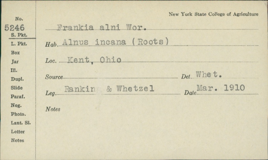 | Frankiella alni (Woronin) Maire & A.Tison | 1910 | Rankin; H.H. Whetzel | |
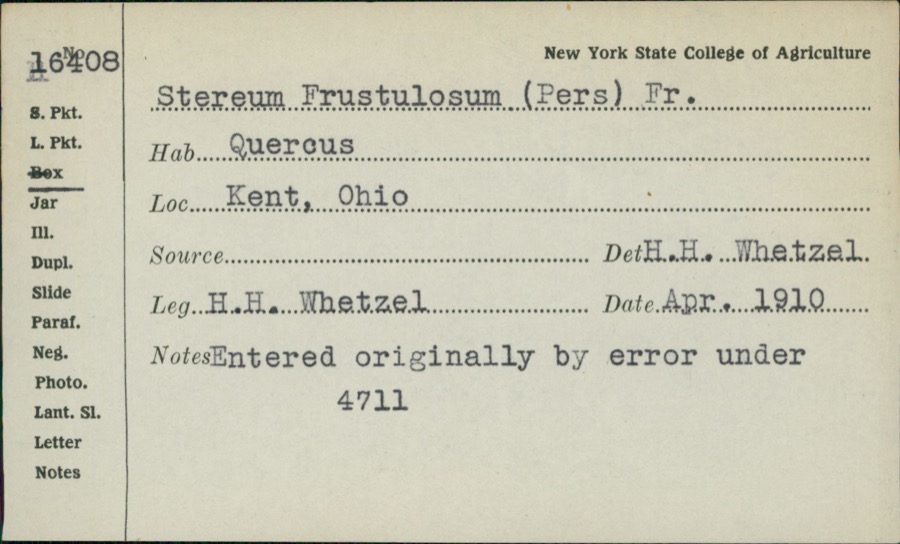 | Stereum frustulatum (Pers.) Fr. | 1910 | H.H. Whetzel | |
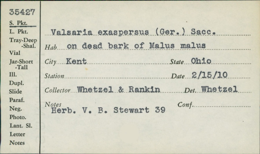 | Valsaria exasperans (W.R.Gerard) Sacc. | 1910 | Whetzel; Rankin | |
 | Colaptes auratus luteus Bangs, 1898 | 1883 | John C. Catlin | Ravenna |
 | Dolichonyx oryzivorus (Linnaeus, 1758) | 1883 | John C. Catlin | Ravenna |
 | Glaucomys volans volans (Linnaeus, 1758) | 1889 | C. P. Streator | Ravenna |
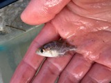 | Ambloplites rupestris (Rafinesque, 1817) | 1893 | A. Woolman | Cuyahoga River, Kent, Ohio |
 | Cambarus propinquus Girard, 1852 | 1893 | Woolman | Cuyahoga River, Kent |
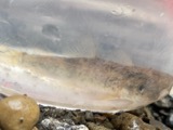 | Catostomus commersonii (Lacepède, 1803) | 1893 | A. Woolman | Cuyahoga River, Kent, Ohio |
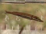 | Esox americanus vermiculatus Lesueur, 1846 | 1893 | A. Woolman | Cuyahoga River, Kent, Ohio |
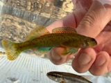 | Etheostoma blennioides Rafinesque, 1819 | 1893 | A. Woolman | Kent, Ohio |
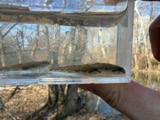 | Etheostoma nigrum Rafinesque, 1820 | 1893 | A. Woolman | Cuyahoga River, Kent, Ohio |
All 728 specimens within 10 miles, at the Global Biodiversity Information Facility.
Mines and quarries near this place
10 of 14 shownRegional context, not property-specific evidence. The federal mineral resources record lists 14 workings within 5 miles of Brimfield: 7 past producers, 6 producers, 1 plant. 7 still produce. What was taken out: Sand and Gravel, Construction. Distance is straight-line from the map coordinates, so a quarry counted here may appear on a neighbouring settlement's page as well.
| Where | Site | Commodity | Status | Recorded |
|---|---|---|---|---|
| American Pit | Sand and Gravel, Construction | Past Producer | ||
| Brimfield Pit | Sand and Gravel, Construction | Past Producer | Sedimentary | |
| Brimfield Pit | Sand and Gravel, Construction | Producer | ||
| Donald Wartko Pit | Sand and Gravel, Construction | Past Producer | Sedimentary | |
| Donald Wartko Pit | Sand and Gravel, Construction | Past Producer | ||
| Hilltop Aggregate, Inc. | Sand and Gravel, Construction | Producer | ||
| Karg Pit | Sand and Gravel, Construction | Past Producer | Sedimentary | |
| Karg Pit & Mill | Sand and Gravel, Construction | Plant | ||
| Lappins Pit | Sand and Gravel, Construction | Producer | ||
| Riverside Pit | Sand and Gravel, Construction | Producer |
Storms near this place
14 since 1997Regional context, not property-specific evidence. The National Weather Service names Brimfield in 14 storm reports between 1997 and 2026: 7 thunderstorm wind, 6 hail, 1 lightning. No death or injury is recorded in these reports. Each account below is quoted exactly as the forecast office filed it, from the NOAA Storm Events Database, and each date opens the federal record of that event.
| When | Event | Place named | Harm | What the report says |
|---|---|---|---|---|
| July 2008 | Hail | Brimfield | $150,000 | Penny to golf ball size hail was observed. Many vehicles sustained damage from the hail. |
| August 1997 | Lightning | Brimfield | $95,000 | Lightning struck a house in Brimfield Township and the ensuing fire gutted the house. |
| July 2011 | Thunderstorm Wind | Brimfield | $10,000 | As a line of thunderstorms tracked across the county, winds downed several large trees and tree limbs in the area. |
| July 2008 | Thunderstorm Wind | Brimfield | $3,000 | Thunderstorm winds downed several large tree limbs. |
| August 2003 | Thunderstorm Wind | Brimfield | $2,000 | Trained spotters measured a 58 mph thunderstorm wind gust. At least one large tree was downed. |
| March 2026 | Hail | Brimfield | - | Hail up to penny-size along Tallmadge Road, near Sherman Road, on the northeast side of Brimfield. |
| May 2025 | Thunderstorm Wind | Brimfield | - | Tree downed along Old Forge Road in Brimfield. |
| August 2024 | Thunderstorm Wind | Brimfield | - | Tree downed about two-miles WSW of Brimfield. |
| August 2024 | Thunderstorm Wind | Brimfield | - | Tree downed about two-miles northeast of Brimfield. |
| March 2020 | Hail | Brimfield | - | Social media report of quarter to golf ball-size hail one mile north of Brimfield. |
| May 2018 | Thunderstorm Wind | Brimfield | - | Thunderstorm wind gusts snapped a large limb off of a tree. |
| June 2010 | Hail | Brimfield | - | Penny sized hail was observed. |
| April 2006 | Hail | Brimfield | - | Penny size hail was observed. |
| August 2019 | Hail | Brimfield | - | no account filed |
Nearest settlements
The eight closest, with where each one stands in the county. Distances are straight-line, computed from the Geographic Names Information System coordinates.
| Map | Place | Distance | Sheets |
|---|---|---|---|
| Bunkers Corners | 1.2 miles | 11 | |
| Brimfield Station | 1.3 miles | 11 | |
| Hilltown (historical) | 2.1 miles | 11 | |
| Kent | 3.7 miles | 14 | |
| Brady Lake | 4.4 miles | 14 | |
| Suffield | 5.3 miles | 11 | |
| Rootstown | 5.5 miles | 18 | |
| Suffield Station | 5.6 miles | 11 |
Elsewhere
Matched on this settlement's Geographic Names Information System number rather than its name, so it cannot be a different place of the same name in another state.
| Wikipedia article on Brimfield | An encyclopaedic summary. Its text is share-alike, so it is linked here rather than copied. |
| Wikidata item Q2798238 | The structured record the population and elevation above come from. Public domain (CC0). |
Provenance
This settlement is recorded in the Geographic Names Information System as feature 1064494. The sheet list is computed by point-in-boundary test against the United States Geological Survey's historical topographic inventory. Both are works of the United States government and carry no copyright under 17 U.S.C. 105.
Specimens. Global Biodiversity Information Facility (GBIF), https://www.gbif.org/. Only records licensed CC0 or CC BY are used. Records licensed CC BY-NC are excluded because this site carries advertising. Images are checked individually and any whose licence is non-commercial, no-derivatives or unreadable is refused.
Mines and quarries. USGS Mineral Resources Data System (MRDS) https://mrdata.usgs.gov/mrds/ A work of the United States government, no copyright under 17 U.S.C. 105.
Storms. NOAA National Centers for Environmental Information, Storm Events Database https://www.ncei.noaa.gov/stormevents/ A work of the United States government, no copyright under 17 U.S.C. 105. Narratives are quoted verbatim from the National Weather Service report and are not edited or summarised.