 Block
Block
Brown, Ohio
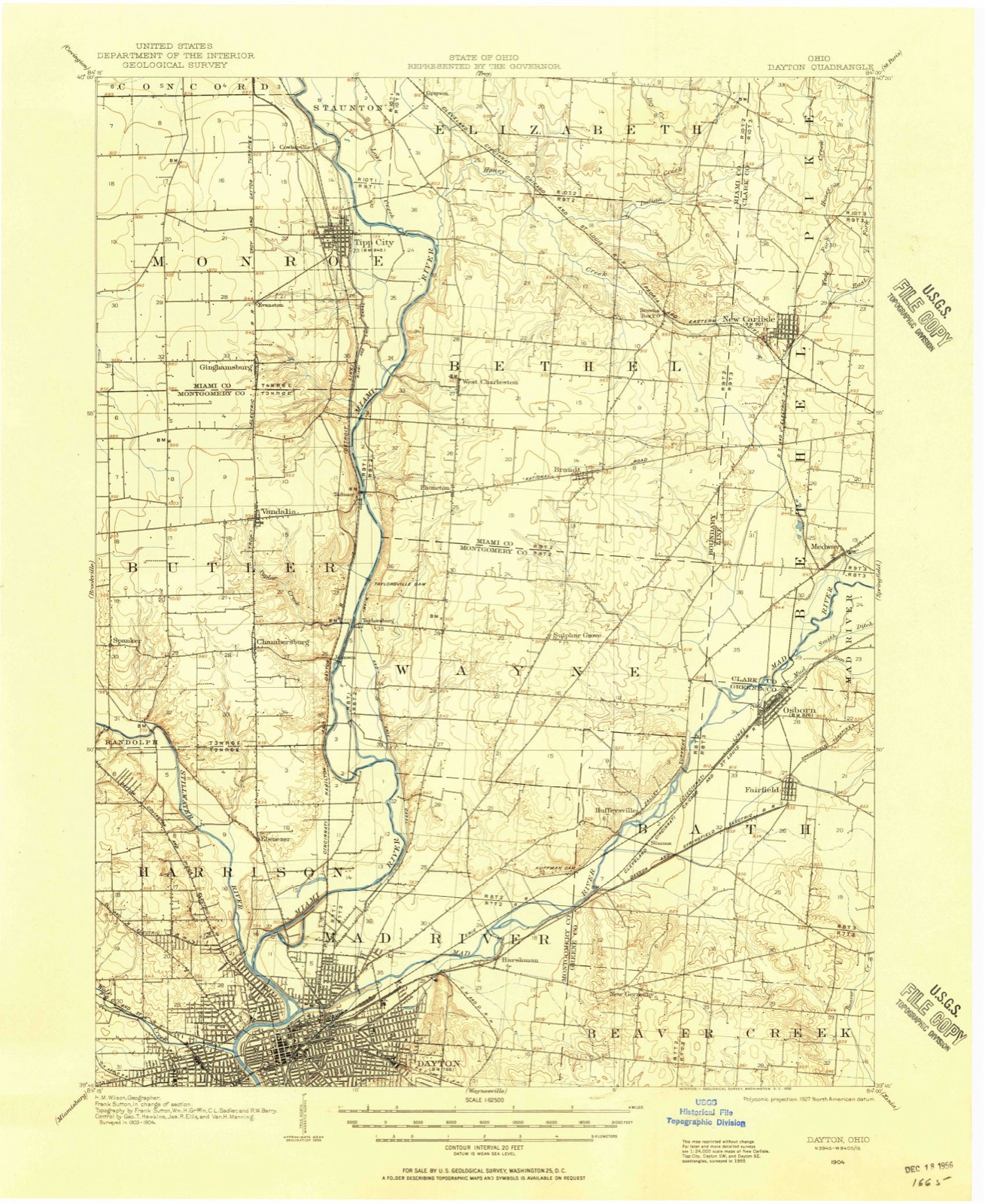
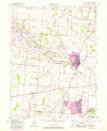
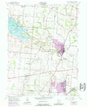
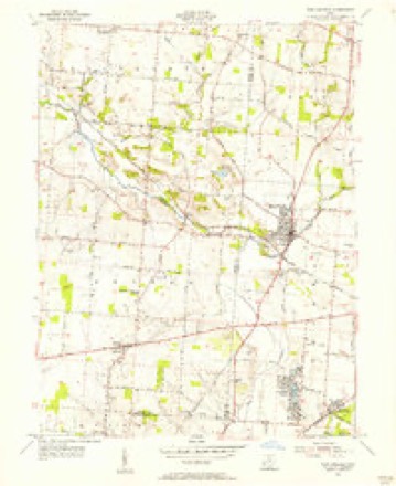
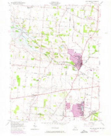
13 topographic sheets cover this place, the earliest surveyed in 1904 and the latest in 1986. It stands in Bethel Township. It lies in ZIP code area 45344. The Survey maps it on the New Carlisle quadrangle.
Then and now
1904 to 1986The same ground, surveyed 82 years apart. Drag the handle to wipe between them. Both sheets are United States Geological Survey originals; neither has been altered.

Topographic sheets covering this place
13 sheetsMatched by testing this settlement's coordinate against the published boundary of every sheet in the United States Geological Survey's historical collection. Each opens the scanned sheet at the Survey.
- 1904 USGS Dayton quadrangle1:62500
- 1906 USGS Dayton quadrangle1:62500
- 1906 USGS Dayton quadrangle1:62500
- 1953 USGS Cincinnati quadrangle1:250000
- 1953 USGS Cincinnati quadrangle1:250000
- 1953 USGS Cincinnati quadrangle1:250000
- 1955 USGS New Carlisle quadrangle1:24000
- 1955 USGS New Carlisle quadrangle1:24000
- 1955 USGS New Carlisle quadrangle1:24000
- 1955 USGS New Carlisle quadrangle1:24000
- 1957 USGS Cincinnati quadrangle1:250000
- 1986 USGS Dayton quadrangle1:100000
- 1986 USGS Dayton quadrangle1:100000






What happened here
An account from the chapter on Bethel township, The inset identifies its exact source book and publication year.
Game
All kinds of game abounded in the forests. The hunters killed large numbers of squirrels, turkeys, pheasants, etc. Wolves, bears and panthers were frequently encountered. It is related that David H. Morris, Sr., killed three panthers in one morning. This sturdy old pioneer was very fond of hunting. He required his boys to practice shooting daily ; when their record was poor, a general boxing of the ears was the result.
In the county-history sources
26,185 words on this townshipThe History of Miami County, Ohio : Containing a History of the County; Its Cities, Towns, Etc.; General and Local Statistics; Portraits of Early Settlers and Prominent Men; History of the Northwest Territory; History of Ohio; Map of Miami County; Constitution of the United States; Miscellaneous Matters, Etc., Etc, published 1880 names this settlement in its chapter on Bethel Township. These are the passages that mention it, exactly as the scans read.
Among the defenseless residents of the humble cabin, the common mode of warfare was as follows : When Indians were approaching, the doors were securely fastened, but were often broken open by the savages. Upon entering, the}7 were met by the ax in the hands of the wife, who was supported by a huge cudgel in the hands of her husband. Thus were they kept at bay. Again, should they make an attempt to come down the chimney, the fireplace was filled with feathers, which were lighted. The smoke stupefied the descending Indian, and, upon falling to the ground, he was instantly dispatched.
In 1815, a mill was built on the mouth of Honey Creek by David Staley. This mill enjoyed an extensive trade ; people from all directions flocking to the mill night and day. It was operated by the Stale}"s until 1831, when it fell into the hands of Daniel Babb, who operated it for many years. This gentleman established a store in its immediate vicinity for the accommodation of those who had their grain ground at his mill. In addition to this, he erected cooper and blacksmith shops. The various inhabitants formed quite a settlement, which was called Babbtown, in honor of its founder. On account of old age, Mr. Babb was compelled to cease running the mill in 1873, and since that time it has been idle. The location being a good one, however, the day ma}v not be far distant when active work will be resumed. The shops and store have long been closed, and the former greatness of Babbtown exists in memory only. Simultaneous^ with the erection of the "Staley Mill" was constructed the Crawford Mill, which was rebuilt, in 1838, by one Cable. Coreys mill, on Honey Creek, was built prior to 1811. David Smith built upon the site of this old mill in 1835. A man named Earhart had a saw-mill on Honey Creek, in 1832, and a few years after, John Brier erected a saw and homiity mill on the same stream. The first steam saw-mill was put up, in 1840, in the village of Brandt. At present it is owned by Albert Black. In 1862, another mill of this character was put up, below Charleston, and is now in a flourishing condition.
The Lutheran Church of Brandt - Was organized in 1862, with twenty members. Meetings were held in the Methodist Episcopal Church, and conducted by Rev. Myers. In 1869, a beautiful frame structure, 34x54, was built, and dedicated February 27, 1870, by Rev. George Ort. The number of members at that time was seventy -five, which has increased to 150. Rev. J. C. Zimmerman, Pastor. The Sunday school was re-organized in May, 1870, with fifty members. Perry French was elected Superintendent. The school has prospered satisfactorily, and the attendance has always been on the increase. Meet alternately with the Methodist Episcopal School. William Dinsmore, Superintendent.
Machine-read from a century-old scan, so expect the errors a machine makes: misspelled names, dropped words, stray characters.
Read the whole chapter on Bethel Township - it names this place 7 more 7 times.
Photographs
1 photograph, 1902Taken for the Office of War Information and the Farm Security Administration, who photographed the country between 1935 and 1944. Works of United States government photographers, with no known restriction on use. Each opens its catalogue record.
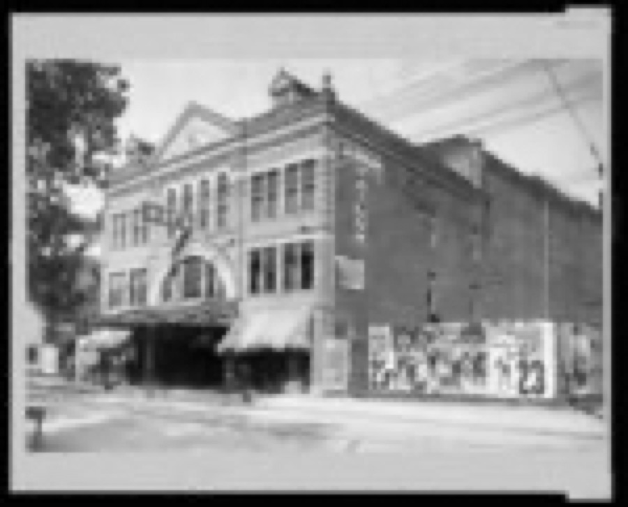
Unattributed, 1902. Library of Congress
Specimens collected near this place
12 of 153 shownRegional context, not property-specific evidence. Museums hold 153 specimens collected within 10 miles of Brown between 1835 and 1975: 136 Animalia, 13 Fungi, 3 Protozoa, 1 Plantae. 12 distinct Species records are shown. Collected by A. R. Gaufin, A.R. Gaufin, H.H. Ross, Arden R. Gaufin and others. Each is a physical object with a catalogue number, and each entry opens the museum's record. This is what was collected and kept, not a survey of what lives here - nothing can be concluded from a species being absent.
| Image | Species | Year | Collected by | Where, as recorded |
|---|---|---|---|---|
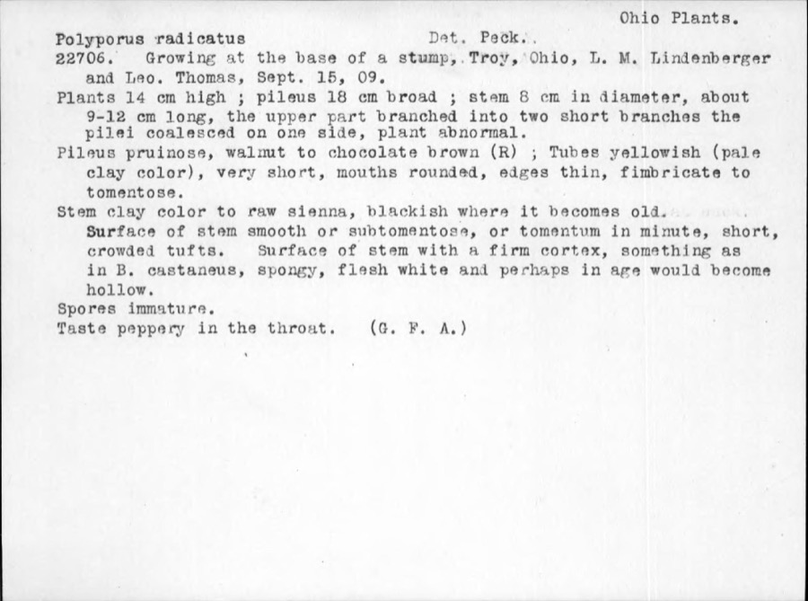 | Polyporus radicatus Schwein. | 1909 | Thomas | Troy |
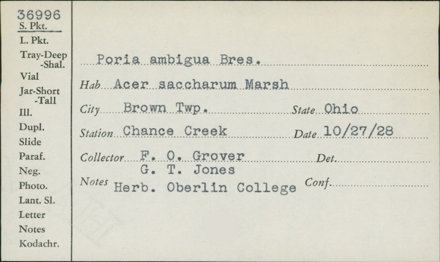 | Poria ambigua Bres. | 1928 | F.O. Grover; G.T. Jones | Brown, Chance Creek |
 | Catocala amatrix Hübner, 1813 | 1938 | not recorded | Tipp City |
 | Botrypus virginianus (L.) Michx. | 1835 | Joseph C. Frank | Ohio, Miami [County] |
 | Cercosporina apii (Fresen.) Miura | 1896 | Skinner C. W. | Troy |
| Marssonina panattoniana (Berl.) Magnus | 1896 | Skinner C. W. | Troy | |
 | Ceratiomyxa fruticulosa var. arbuscula (Berk. & Broome) Nann.-Bremek., 1975 | 1897 | Thaxter, R. | USA, Florida, Cocoanut Grove |
 | Mermis Dujardin, 1842 | 1897 | F. Johnston | New Carlisle |
 | Bombus pensylvanicus (De Geer, 1773) | 1903 | not recorded | New Carlisle |
 | Daedalea confragosa (Bolton) Pers. | 1906 | Fischer G. C. | Troy |
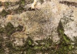 | Cryptosphaeria populina (Pers.) Sacc. | 1923 | Gravatt A. R. | Troy |
| Dothichiza populina Sacc. | 1923 | Gravatt A. R. | Troy |
All 153 specimens within 10 miles, at the Global Biodiversity Information Facility.
Mines and quarries near this place
7 within 5 milesRegional context, not property-specific evidence. The federal mineral resources record lists 7 workings within 5 miles of Brown: 6 past producers, 1 plant. 1 still produces. What was taken out: Sand and Gravel, Construction, Stone, Crushed/Broken. Distance is straight-line from the map coordinates, so a quarry counted here may appear on a neighbouring settlement's page as well.
| Where | Site | Commodity | Status | Recorded |
|---|---|---|---|---|
| Tipp Stone Quarry | Stone, Crushed/Broken | Past Producer | ||
| New Carlisle Sand and Gravel Pit | Sand and Gravel, Construction | Past Producer | Sedimentary | |
| New Carlisle Sand and Gravel Pit | Sand and Gravel, Construction | Past Producer | Sedimentary | |
| New Carlisle Sand and Gravel Pit | Sand and Gravel, Construction | Past Producer | ||
| New Carlisle Sand and Gravel Pit | Sand and Gravel, Construction | Past Producer | ||
| Tipp City Pit | Sand and Gravel, Construction | Past Producer | Sedimentary | |
| Vandalia Gravel, Inc. | Sand and Gravel, Construction | Plant |
Nearest settlements
The eight closest, with where each one stands in the county. Distances are straight-line, computed from the Geographic Names Information System coordinates.
| Map | Place | Distance | Sheets |
|---|---|---|---|
| Brandt | 3.0 miles | 13 | |
| West Charleston | 3.7 miles | 14 | |
| Babbtown (historical) | 4.3 miles | 14 | |
| Haven View | 4.6 miles | 15 | |
| Phoneton | 4.7 miles | 14 | |
| Alcony | 4.8 miles | 15 | |
| Grayson | 5.5 miles | 14 | |
| Tipp City | 5.7 miles | 14 |
Provenance
This settlement is recorded in the Geographic Names Information System as feature 1070694. The sheet list is computed by point-in-boundary test against the United States Geological Survey's historical topographic inventory. Both are works of the United States government and carry no copyright under 17 U.S.C. 105.
Specimens. Global Biodiversity Information Facility (GBIF), https://www.gbif.org/. Only records licensed CC0 or CC BY are used. Records licensed CC BY-NC are excluded because this site carries advertising. Images are checked individually and any whose licence is non-commercial, no-derivatives or unreadable is refused.
Mines and quarries. USGS Mineral Resources Data System (MRDS) https://mrdata.usgs.gov/mrds/ A work of the United States government, no copyright under 17 U.S.C. 105.