 Block
Block
West Charleston, Ohio
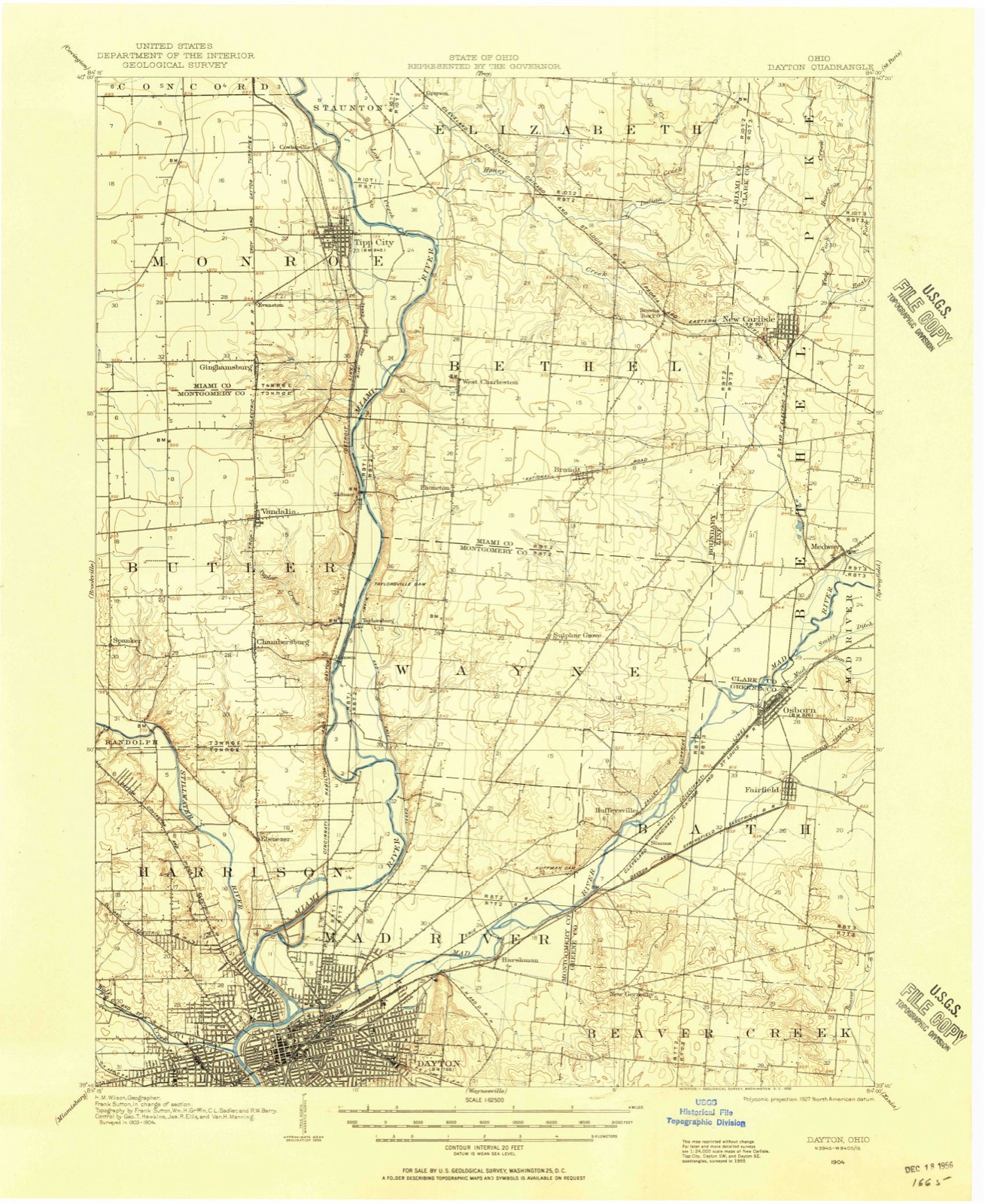
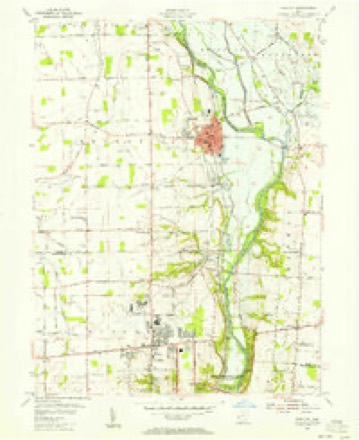
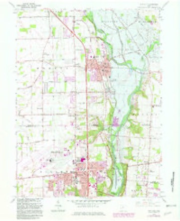
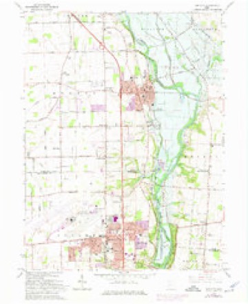
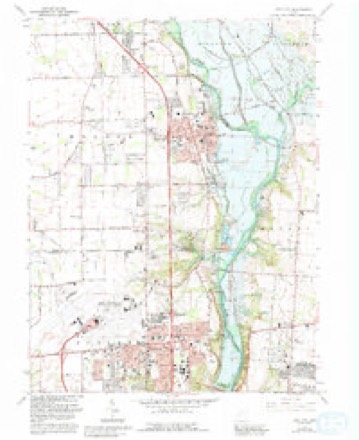
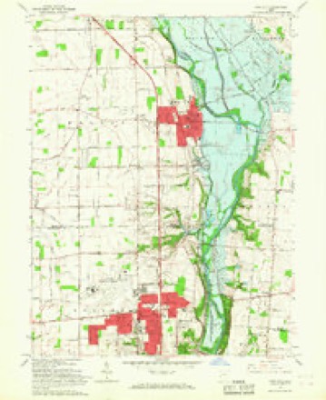
14 topographic sheets cover this place, the earliest surveyed in 1904 and the latest in 1986. It stands in Bethel Township. It lies in ZIP code area 45371. The Survey maps it on the Tipp City quadrangle.
Then and now
1904 to 1986The same ground, surveyed 82 years apart. Drag the handle to wipe between them. Both sheets are United States Geological Survey originals; neither has been altered.

Topographic sheets covering this place
14 sheetsMatched by testing this settlement's coordinate against the published boundary of every sheet in the United States Geological Survey's historical collection. Each opens the scanned sheet at the Survey.
- 1904 USGS Dayton quadrangle1:62500
- 1906 USGS Dayton quadrangle1:62500
- 1906 USGS Dayton quadrangle1:62500
- 1953 USGS Cincinnati quadrangle1:250000
- 1953 USGS Cincinnati quadrangle1:250000
- 1953 USGS Cincinnati quadrangle1:250000
- 1955 USGS Tipp City quadrangle1:24000
- 1957 USGS Cincinnati quadrangle1:250000
- 1965 USGS Tipp City quadrangle1:24000
- 1965 USGS Tipp City quadrangle1:24000
- 1965 USGS Tipp City quadrangle1:24000
- 1965 USGS Tipp City quadrangle1:24000
- 1986 USGS Dayton quadrangle1:100000
- 1986 USGS Dayton quadrangle1:100000






What happened here
An account from the chapter on Bethel township, The inset identifies its exact source book and publication year.
Game
All kinds of game abounded in the forests. The hunters killed large numbers of squirrels, turkeys, pheasants, etc. Wolves, bears and panthers were frequently encountered. It is related that David H. Morris, Sr., killed three panthers in one morning. This sturdy old pioneer was very fond of hunting. He required his boys to practice shooting daily ; when their record was poor, a general boxing of the ears was the result.
In the county-history sources
26,185 words on this townshipThe History of Miami County, Ohio : Containing a History of the County; Its Cities, Towns, Etc.; General and Local Statistics; Portraits of Early Settlers and Prominent Men; History of the Northwest Territory; History of Ohio; Map of Miami County; Constitution of the United States; Miscellaneous Matters, Etc., Etc, published 1880 names this settlement in its chapter on Bethel Township. These are the passages that mention it, exactly as the scans read.
David H. Morris, Sr., wras born in New Jersey, and participated in the Revolutionary war. He afterward went to Cincinnati, where lie was detailed assistant surveyor. While traveling through this county, he was favorably impressed by the apparent fertility of the soil, and subsequently located in Section 23, in this township. The land is yet in the possession of his grandsons.
That our forefathers were a pious, churcH-going people will never be forgotten by this and the coming generations. For six days they labored diligently from early morn till late at night, but on the Sabbath Day, the Divine command, " Bemember the Sabbath day to keep it holy," was never violated. At the close of the eighteenth century, when the settlers in this township were few and far between, no opportunities for holding the general church services of the present day were afforded. Instead, was the family service of reading the Scriptures and commenting thereon, interspersed with song and prayer. A few years later, these services were held alternately at the different cabins of the pioneer. In 1807, the first society was formed by the Methodists, at the house of Bafe Stafford, on Indian Creek. Bev. Joseph Tatman was the officiating minister. Thomas Stockstill was one of the first Class Leaders and Stewards of this organization. In 1810 or 1 81 1 , the society built a frame structure, which was called Palmer's Chapel, and served its purpose until 1830, when the brick building still standing was erected. By this time the membership had increased with the population of the county, and the building was crowded with eager listeners, who came from far and near, to hear Bev. William H. Baper preach the dedicatory sermon. The year 1820 marked the putting up of the first stove in the old church. Meetings are held here each alternate Sabbath. Palmer's Chapel is embraced in the Brandt Circuit, of which Bev. N. H. Prince is the Pastor. This church is situated on the extreme northeastern corner of the township
Pisgali Methodist Episcopal Church. - The first building erected by this society was a log, built on the ground presented by David H. Morris, Sr., who also assisted in its construction. This was in 1825. William H. Baper, James Finley and David Dyke were among the early ministers of this church. In 1850, the present brick was erected on the site of the old building. The society is not in a very flourishing condition just now. Services every alternate Sabbath, by Bev. Prince, of the Brandt Circuit. A Sabbath school is held every summer.
Machine-read from a century-old scan, so expect the errors a machine makes: misspelled names, dropped words, stray characters.
Read the whole chapter on Bethel Township - it names this place 10 more 10 times.
Specimens collected near this place
12 of 176 shownRegional context, not property-specific evidence. Museums hold 176 specimens collected within 10 miles of West Charleston between 1835 and 1975: 155 Animalia, 16 Fungi, 3 Protozoa, 2 Plantae. 12 distinct Species records are shown. Collected by A. R. Gaufin, A.R. Gaufin, H.H. Ross, Arden R. Gaufin and others. Each is a physical object with a catalogue number, and each entry opens the museum's record. This is what was collected and kept, not a survey of what lives here - nothing can be concluded from a species being absent.
| Image | Species | Year | Collected by | Where, as recorded |
|---|---|---|---|---|
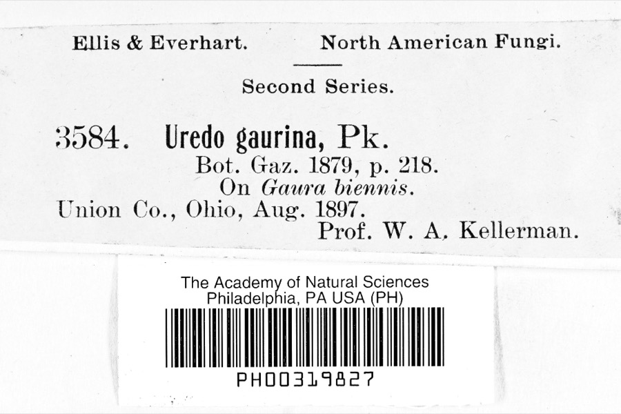 | Uredo | 1897 | Prof. W.A. Kellerman | |
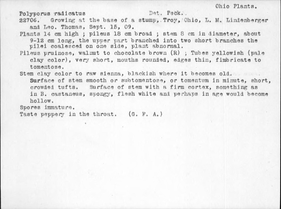 | Polyporus radicatus Schwein. | 1909 | Thomas | Troy |
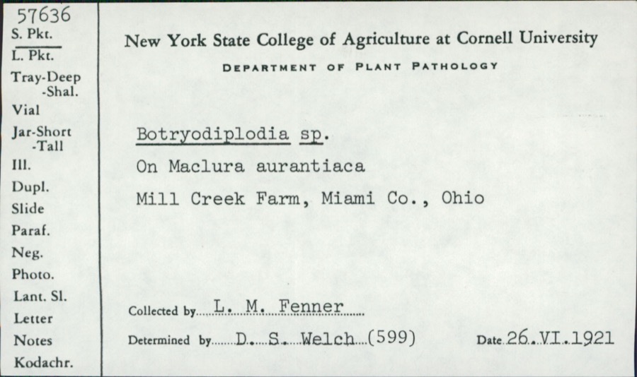 | Botryodiplodia (Sacc.) Sacc. | 1921 | L.M. Fenner | Mill Creek Farm |
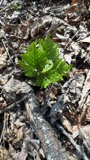 | Botrypus virginianus (L.) Michx. | 1835 | Joseph C. Frank | Ohio, Miami [County] |
 | Cercosporina apii (Fresen.) Miura | 1896 | Skinner C. W. | Troy |
| Marssonina panattoniana (Berl.) Magnus | 1896 | Skinner C. W. | Troy | |
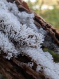 | Ceratiomyxa fruticulosa var. arbuscula (Berk. & Broome) Nann.-Bremek., 1975 | 1897 | Thaxter, R. | USA, Florida, Cocoanut Grove |
 | Mermis Dujardin, 1842 | 1897 | F. Johnston | New Carlisle |
 | Bombus pensylvanicus (De Geer, 1773) | 1903 | not recorded | New Carlisle |
 | Daedalea confragosa (Bolton) Pers. | 1906 | Fischer G. C. | Troy |
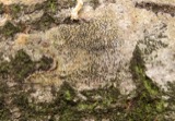 | Cryptosphaeria populina (Pers.) Sacc. | 1923 | Gravatt A. R. | Troy |
| Dothichiza populina Sacc. | 1923 | Gravatt A. R. | Troy |
All 176 specimens within 10 miles, at the Global Biodiversity Information Facility.
Mines and quarries near this place
10 within 5 milesRegional context, not property-specific evidence. The federal mineral resources record lists 10 workings within 5 miles of West Charleston: 8 past producers, 1 producer, 1 plant. 2 still produce. What was taken out: Sand and Gravel, Construction, Stone, Crushed/Broken. Distance is straight-line from the map coordinates, so a quarry counted here may appear on a neighbouring settlement's page as well.
| Where | Site | Commodity | Status | Recorded |
|---|---|---|---|---|
| Tipp Stone Quarry | Stone, Crushed/Broken | Past Producer | ||
| Cassel Sand & Gravel, Inc. | Sand and Gravel, Construction | Past Producer | ||
| New Carlisle Sand and Gravel Pit | Sand and Gravel, Construction | Past Producer | Sedimentary | |
| New Carlisle Sand and Gravel Pit | Sand and Gravel, Construction | Past Producer | Sedimentary | |
| New Carlisle Sand and Gravel Pit | Sand and Gravel, Construction | Past Producer | ||
| New Carlisle Sand and Gravel Pit | Sand and Gravel, Construction | Past Producer | ||
| Tipp City Pit | Sand and Gravel, Construction | Past Producer | Sedimentary | |
| Tipp Pit and Mill | Sand and Gravel, Construction | Past Producer | ||
| Valley Pit | Sand and Gravel, Construction | Producer | ||
| Vandalia Gravel, Inc. | Sand and Gravel, Construction | Plant |
Storms near this place
2 since 2014Regional context, not property-specific evidence. The National Weather Service names West Charleston in 2 storm reports between 2014 and 2022: 1 flash flood, 1 hail. No death or injury is recorded in these reports. Each account below is quoted exactly as the forecast office filed it, from the NOAA Storm Events Database, and each date opens the federal record of that event.
| When | Event | Place named | Harm | What the report says |
|---|---|---|---|---|
| May 2014 | Flash Flood | West Charleston | $1,000 | Water was reported rushing over Studebaker Road in Bethel Township due to heavy rainfall. |
| March 2022 | Hail | West Charleston | - | no account filed |
Nearest settlements
The eight closest, with where each one stands in the county. Distances are straight-line, computed from the Geographic Names Information System coordinates.
| Map | Place | Distance | Sheets |
|---|---|---|---|
| Phoneton | 1.8 miles | 14 | |
| Brandt | 2.6 miles | 13 | |
| Tipp City | 3.2 miles | 14 | |
| Babbtown (historical) | 3.3 miles | 14 | |
| Ginghamsburg | 3.5 miles | 14 | |
| Brown | 3.7 miles | 13 | |
| Evanston | 3.8 miles | 14 | |
| Cowlesville | 4.9 miles | 14 |
Provenance
This settlement is recorded in the Geographic Names Information System as feature 1061735. The sheet list is computed by point-in-boundary test against the United States Geological Survey's historical topographic inventory. Both are works of the United States government and carry no copyright under 17 U.S.C. 105.
Specimens. Global Biodiversity Information Facility (GBIF), https://www.gbif.org/. Only records licensed CC0 or CC BY are used. Records licensed CC BY-NC are excluded because this site carries advertising. Images are checked individually and any whose licence is non-commercial, no-derivatives or unreadable is refused.
Mines and quarries. USGS Mineral Resources Data System (MRDS) https://mrdata.usgs.gov/mrds/ A work of the United States government, no copyright under 17 U.S.C. 105.
Storms. NOAA National Centers for Environmental Information, Storm Events Database https://www.ncei.noaa.gov/stormevents/ A work of the United States government, no copyright under 17 U.S.C. 105. Narratives are quoted verbatim from the National Weather Service report and are not edited or summarised.