 Block
Block
Brandt, Ohio
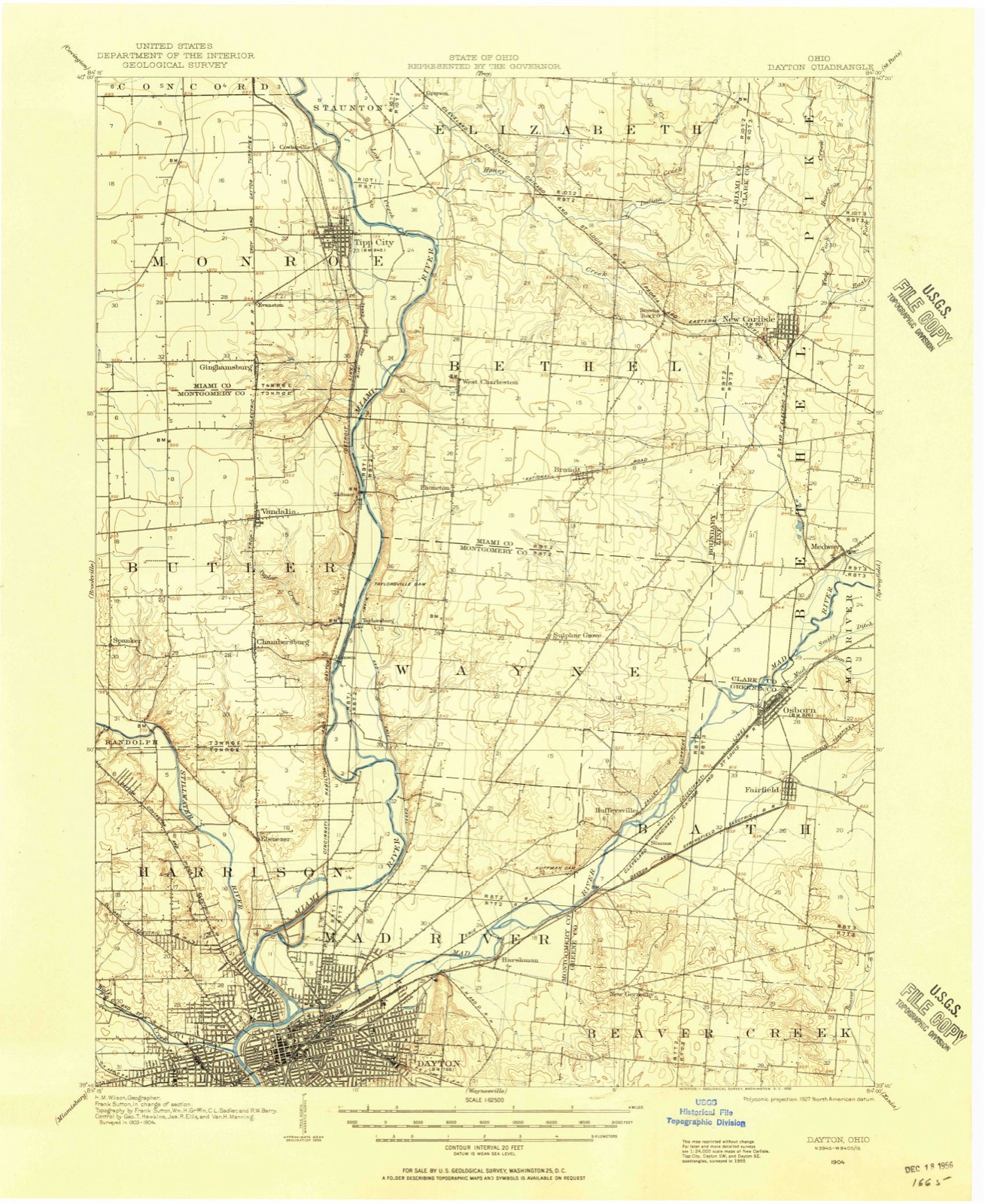
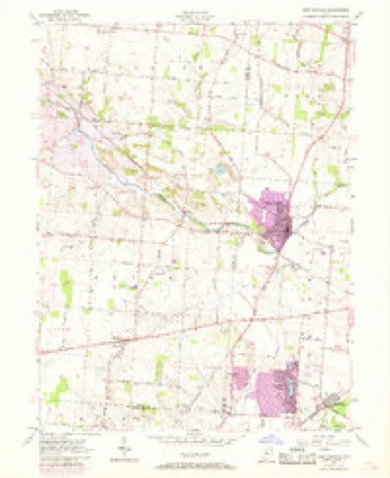
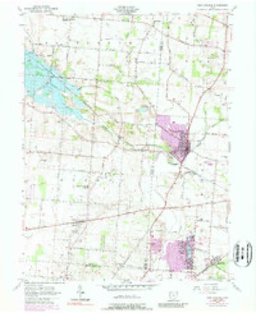
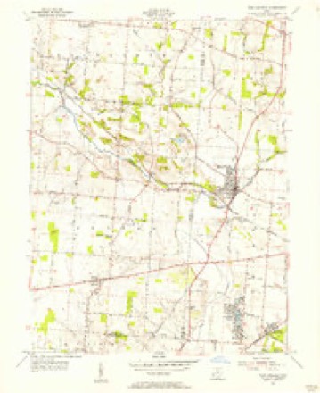
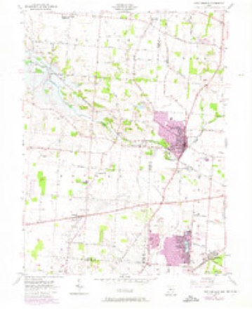
13 topographic sheets cover this place, the earliest surveyed in 1904 and the latest in 1986. It stands in Bethel Township. It lies in ZIP code area 45371. The Survey maps it on the New Carlisle quadrangle.
Then and now
1904 to 1986The same ground, surveyed 82 years apart. Drag the handle to wipe between them. Both sheets are United States Geological Survey originals; neither has been altered.

Topographic sheets covering this place
13 sheetsMatched by testing this settlement's coordinate against the published boundary of every sheet in the United States Geological Survey's historical collection. Each opens the scanned sheet at the Survey.
- 1904 USGS Dayton quadrangle1:62500
- 1906 USGS Dayton quadrangle1:62500
- 1906 USGS Dayton quadrangle1:62500
- 1953 USGS Cincinnati quadrangle1:250000
- 1953 USGS Cincinnati quadrangle1:250000
- 1953 USGS Cincinnati quadrangle1:250000
- 1955 USGS New Carlisle quadrangle1:24000
- 1955 USGS New Carlisle quadrangle1:24000
- 1955 USGS New Carlisle quadrangle1:24000
- 1955 USGS New Carlisle quadrangle1:24000
- 1957 USGS Cincinnati quadrangle1:250000
- 1986 USGS Dayton quadrangle1:100000
- 1986 USGS Dayton quadrangle1:100000






What happened here
An account from the chapter on Bethel township, The inset identifies its exact source book and publication year.
Game
All kinds of game abounded in the forests. The hunters killed large numbers of squirrels, turkeys, pheasants, etc. Wolves, bears and panthers were frequently encountered. It is related that David H. Morris, Sr., killed three panthers in one morning. This sturdy old pioneer was very fond of hunting. He required his boys to practice shooting daily ; when their record was poor, a general boxing of the ears was the result.
In the county-history sources
26,185 words on this townshipThe History of Miami County, Ohio, published 1880; The History of Miami County, Ohio : Containing a History of the County; Its Cities, Towns, Etc.; General and Local Statistics; Portraits of Early Settlers and Prominent Men; History of the Northwest Territory; History of Ohio; Map of Miami County; Constitution of the United States; Miscellaneous Matters, Etc., Etc, published 1880 names this settlement in its chapter on Bethel Township. These are the passages that mention it, exactly as the scans read.
Township, of this county ; L. W. worked on the farm till the time of his majority, when he commenced the fruit-tree business ; he also engaged in teaching a portion of each year ; in 1870, he quit the tree business and followed teaching altogether, till 1877, when he bought the old fi&rm of his father in Bethel Township, where he lives, teaching during the winter ; his education was obtained principally in the common school. His marriage with Hannah Puterbaugh was celebrated March 5, 1871 ; she was bom May 6, 1848 ; the fruits of this union are two children - Albert A., bom Aug. 23, 1873, and Guy E., Jane 27, 1878.
Passage source: The History of Miami County, Ohio, published 1880.
The early pioneers of this township were not excepted from the privations surrounding the settlement of a new country. As a greater portion of Bethel is rolling, and traversed by streams of refreshing waters, the inhabitants were in a salubrious condition. The northeastern corner, however, is low and marshy. At that time no system of drainage existed ; water stood at one place during the entire year, and its foul stench produced much sickness. People were attacked by the fever and ague, scarlet and typhoid fevers and similar diseases. The occasional physician examined the patient, introduced the lance, forbade the use of cold water, prescribed pounds of calomel, shook his head and departed. Besult - many of the patients died, some of them for the want of a cooling drink of water. The pioneer was discouraged ; those who survived in the fall knew not whether they should live through the coming summer and made no preparations on their lands. Thomas Stockstill, a carpenter by occupation, devoted much time to making rough coffins and burying the dead, and, with that charity and good nature which was a characteristic part of his nature, refused all compensation from the poor and need}7. In after years, a complete system of drainage was introduced, the angel of death departed, and marshes and swamps gave way to fields of golden grain.
The wild beasts of the forests, and the wolves particularly, waged a continual warfare against the few domestic animals owned by the settlers. These beasts came to their very doors ; at one time, wolves carried off a hog belonging to Stockstill, which produced a marked advance in the price of pork - in that family. The corn crop was destroyed by the squirrels, who visited the fields in great numbers.
Machine-read from a century-old scan, so expect the errors a machine makes: misspelled names, dropped words, stray characters.
Read the whole chapter on Bethel Township - it names this place 20 more 20 times.
Specimens collected near this place
12 of 142 shownRegional context, not property-specific evidence. Museums hold 142 specimens collected within 10 miles of Brandt between 1835 and 1975: 134 Animalia, 4 Fungi, 3 Protozoa, 1 Plantae. 12 distinct Species records are shown. Collected by A. R. Gaufin, A.R. Gaufin, H.H. Ross, Arden R. Gaufin and others. Each is a physical object with a catalogue number, and each entry opens the museum's record. This is what was collected and kept, not a survey of what lives here - nothing can be concluded from a species being absent.
| Image | Species | Year | Collected by | Where, as recorded |
|---|---|---|---|---|
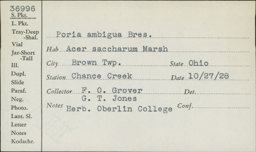 | Poria ambigua Bres. | 1928 | F.O. Grover; G.T. Jones | Brown, Chance Creek |
 | Catocala amatrix Hübner, 1813 | 1938 | not recorded | Tipp City |
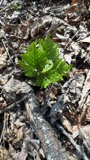 | Botrypus virginianus (L.) Michx. | 1835 | Joseph C. Frank | Ohio, Miami [County] |
 | Ceratiomyxa fruticulosa var. arbuscula (Berk. & Broome) Nann.-Bremek., 1975 | 1897 | Thaxter, R. | USA, Florida, Cocoanut Grove |
 | Mermis Dujardin, 1842 | 1897 | F. Johnston | New Carlisle |
 | Bombus pensylvanicus (De Geer, 1773) | 1903 | not recorded | New Carlisle |
 | Campeloma decisum (Say, 1817) | 1926 | Wright, Herman P | |
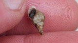 | Elimia livescens (Menke, 1830) | 1926 | Wright, Herman P | |
| Physidae | 1926 | Wright, Herman P | ||
| Sphaeriidae | 1926 | Wright, Herman P | ||
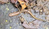 | Eurycea bislineata (Green, 1818) | 1927 | Thomas, E. S. (Edward S.) & Hine, J. S. (James Stewart) | Near Vandalia, Montgomery Co., Ohio |
 | Eurycea longicauda longicauda (Green, 1818) | 1927 | Thomas, E. S. (Edward S.) & Hine, J. S. (James Stewart) | Near Vandalia, Montgomery Co., Ohio |
All 142 specimens within 10 miles, at the Global Biodiversity Information Facility.
Mines and quarries near this place
8 within 5 milesRegional context, not property-specific evidence. The federal mineral resources record lists 8 workings within 5 miles of Brandt: 6 past producers, 1 producer, 1 plant. 2 still produce. What was taken out: Sand and Gravel, Construction. Distance is straight-line from the map coordinates, so a quarry counted here may appear on a neighbouring settlement's page as well.
| Where | Site | Commodity | Status | Recorded |
|---|---|---|---|---|
| Cassel Sand & Gravel, Inc. | Sand and Gravel, Construction | Past Producer | ||
| New Carlisle Sand and Gravel Pit | Sand and Gravel, Construction | Past Producer | Sedimentary | |
| New Carlisle Sand and Gravel Pit | Sand and Gravel, Construction | Past Producer | Sedimentary | |
| New Carlisle Sand and Gravel Pit | Sand and Gravel, Construction | Past Producer | ||
| New Carlisle Sand and Gravel Pit | Sand and Gravel, Construction | Past Producer | ||
| Tipp City Pit | Sand and Gravel, Construction | Past Producer | Sedimentary | |
| Valley Pit | Sand and Gravel, Construction | Producer | ||
| Vandalia Gravel, Inc. | Sand and Gravel, Construction | Plant |
Storms near this place
7 since 2000Regional context, not property-specific evidence. The National Weather Service names Brandt in 7 storm reports between 2000 and 2022: 3 thunderstorm wind, 2 hail, 1 flash flood, 1 tornado. No death or injury is recorded in these reports. Each account below is quoted exactly as the forecast office filed it, from the NOAA Storm Events Database, and each date opens the federal record of that event.
| When | Event | Place named | Harm | What the report says |
|---|---|---|---|---|
| May 2017 | Tornado (EF1) | Brandt | $50,000 | The tornado first touched down on the western side of Park Layne in Clark County at 2016EST and entered Miami County at 2020EST, about 1.7 miles east-southeast of Brandt. The tornado continued in Miami County for another 4.1 miles before dissipating along State Route 571, west of State Route 201. ||While in Miami County, tree and minor roof damage occurred along Bellefontaine Road, Palmer Road, and State Route 201, with maximum wind speed estimates of 95 mph in this area, or EF1. The tornado track appeared to end just northwest of the State Route 571 intersection with State Route 201, where a barn sustained damage caused by estimated wind speeds of around 80 mph. The maximum width in Miami County was 300 yards. This tornado was rated an EF1 in both Miami and Clark Counties. |
| August 2005 | Thunderstorm Wind | Brandt | $3,000 | A few trees were downed along US Route 40 between State Route 201 and State Route 202. |
| September 2003 | Thunderstorm Wind | Brandt | $3,000 | Numerous trees were downed. |
| April 2011 | Thunderstorm Wind | Brandt | $2,000 | Numerous trees were reported down due to damaging thunderstorm winds. |
| May 2014 | Flash Flood | Brandt | $1,000 | Water was reported rushing over Haskett Lane due to heavy rainfall. |
| May 2022 | Hail | Brandt | - | The hail was reported near the intersection of State Route 201 and U.S. 40. |
| May 2000 | Hail | Brandt | - | no account filed |
Nearest settlements
The eight closest, with where each one stands in the county. Distances are straight-line, computed from the Geographic Names Information System coordinates.
| Map | Place | Distance | Sheets |
|---|---|---|---|
| Phoneton | 2.3 miles | 14 | |
| West Charleston | 2.6 miles | 14 | |
| Brown | 3.0 miles | 13 | |
| Babbtown (historical) | 5.3 miles | 14 | |
| Tipp City | 5.8 miles | 14 | |
| Ginghamsburg | 6.0 miles | 14 | |
| Evanston | 6.4 miles | 14 | |
| Grayson | 7.0 miles | 14 |
Provenance
This settlement is recorded in the Geographic Names Information System as feature 1056227. The sheet list is computed by point-in-boundary test against the United States Geological Survey's historical topographic inventory. Both are works of the United States government and carry no copyright under 17 U.S.C. 105.
Specimens. Global Biodiversity Information Facility (GBIF), https://www.gbif.org/. Only records licensed CC0 or CC BY are used. Records licensed CC BY-NC are excluded because this site carries advertising. Images are checked individually and any whose licence is non-commercial, no-derivatives or unreadable is refused.
Mines and quarries. USGS Mineral Resources Data System (MRDS) https://mrdata.usgs.gov/mrds/ A work of the United States government, no copyright under 17 U.S.C. 105.
Storms. NOAA National Centers for Environmental Information, Storm Events Database https://www.ncei.noaa.gov/stormevents/ A work of the United States government, no copyright under 17 U.S.C. 105. Narratives are quoted verbatim from the National Weather Service report and are not edited or summarised.