 Block
Block
Brownstown, Ohio
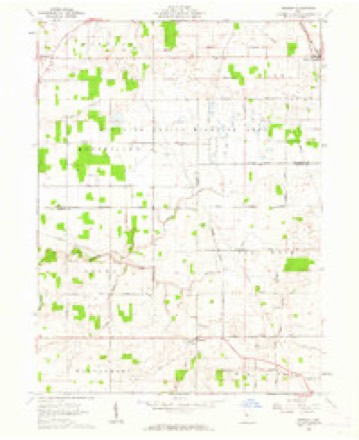
11 topographic sheets cover this place, the earliest surveyed in 1915 and the latest in 1986. It stands in Mifflin Township. It lies in ZIP code area 43351. The Survey maps it on the Meeker quadrangle.
Then and now
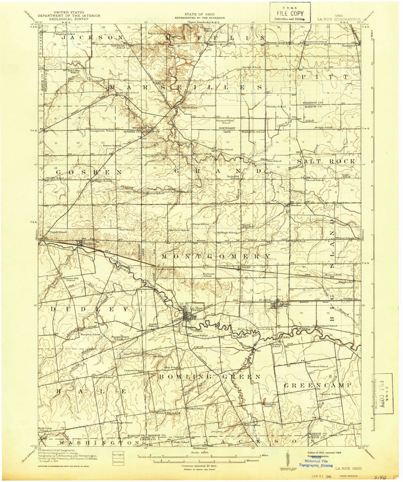
1915 to 1986The same ground, surveyed 71 years apart. Drag the handle to wipe between them. Both sheets are United States Geological Survey originals; neither has been altered.

Topographic sheets covering this place
11 sheetsMatched by testing this settlement's coordinate against the published boundary of every sheet in the United States Geological Survey's historical collection. Each opens the scanned sheet at the Survey.
- 1915 USGS La Rue quadrangle1:62500
- 1950 USGS Marion quadrangle1:250000
- 1961 USGS Meeker quadrangle1:24000
- 1961 USGS Meeker quadrangle1:24000
- 1961 USGS Meeker quadrangle1:24000
- 1962 USGS Marion quadrangle1:250000
- 1966 USGS Marion quadrangle1:250000
- 1966 USGS Marion quadrangle1:250000
- 1966 USGS Marion quadrangle1:250000
- 1986 USGS Marion quadrangle1:100000
- 1986 USGS Marion quadrangle1:100000







In the county-history sources
8,600 words on this townshipThe History of Wyandot County, Ohio, Containing a History of the County: Its Townships, Towns, Churches, Schools, Etc.;, published 1884 names this settlement in its chapter on Mifflin Township. These are the passages that mention it, exactly as the scans read.
The old Beliefontaine road, which was cut by the troops under Gren. Harrison in 1812, enters Mifflin Township from Pitt Township, on Section 13, through a corner of which it passes, tbence through Sections 24, 23, 26 and 27, and enters Marseilles Township at Section 33, after traversing in about a southwest direction. Another road enters on the east, on Section 36, leading due west into Jackson Township at J. O. Vanorsdall's farm. Section 31. From this highway a branch strikes off on Section 32, leading north and northwest, and also entering Jackson on Section 30. Other roads traverse the township to and from all the cardinal points of the compass. The Pittsburgh, Fort Wayne & Chicago Railroad crosses Mifflin in a west by south direction, penetrating from Salem Township at the extreme northeast corner of Section 4, which it passes through, also Sections 5 and 6, thence through Kirby Village, in the northeast corner of the township, where there is a station.
Passage source: The History of Wyandot County, Ohio, Containing a History of the County: Its Townships, Towns, Churches, Schools, Etc.;, published 1884.
Samuel Stansberry, born in 1806, in Massachusetts, came to this township in 1830, and entered eighty acres of land. He died in 1852, having accumulated considerable property. James Halstead, also one of the early pioneers, was born in Poughkeepsie, N. Y. , in 1797. He married, in Ontario County. N. Y., Anna Irwin, and settled in this township in 1830, remaining a resident of the township till 1850, when he removed to Indiana, and four years later to Piatt County, 111., where he died in 1873. John Clioger moved with his family to this county in 1830 and settled in Mifflin Township, where he purchased eighty acres, which he cleared and occupied till his death, which occurrred November 18, 1880.
Passage source: The History of Wyandot County, Ohio, Containing a History of the County: Its Townships, Towns, Churches, Schools, Etc.;, published 1884.
Others that came about this period were: Wilford Whaley (born August 25, 1822), Andrew J. Kail, John Haner (born in New York), John Farmer, Daniel and Israel Straw, Abram Clark, William Bowsher, Hanson Hooker, Henry and Philip Haner, David Young, James, William and John Irvin, Alexander INTcCleary, John Hankins, Wolford Whaley, John Farthing, Andrew and Isaac Farmer, John Henry, Jacob Leonard, John Ackley, Richard Parlet, Thomas Hendrickson, James Gibson, Martin Dickens, Daniels and his son Julius, David Bowen, Sr. (a native of Pennsylvania; moved to this county in 1835, and June 17, same year, settled in Mifflin Township; on the farm on which he located stood an old Indian tavern; his son, David Bowen, still resides in this township). From 1835 to 1839 came Wesley Davenport and Mr. Brown (who laid out Brownstown), Richard Lee, William Lee. James O'Neil, Tunis Ten Eyck. Adam Smith, Moses Ricker, John A. Swartz, Jacob Hollanshead, Daniel Piersou, Walter Simerson, Thomas Snider, Abraham Clark and Cornelius Young.
Passage source: The History of Wyandot County, Ohio, Containing a History of the County: Its Townships, Towns, Churches, Schools, Etc.;, published 1884.
Machine-read from a century-old scan, so expect the errors a machine makes: misspelled names, dropped words, stray characters.
Read the whole chapter on Mifflin Township - it names this place 3 more 3 times.
Specimens collected near this place
12 of 219 shownRegional context, not property-specific evidence. Museums hold 219 specimens collected within 10 miles of Brownstown between 1885 and 1975: 203 Animalia, 14 Fungi, 2 Plantae. 12 distinct Species records are shown. Collected by Acker, G., Allen, J. M., Blyth & Katz and others. Each is a physical object with a catalogue number, and each entry opens the museum's record. This is what was collected and kept, not a survey of what lives here - nothing can be concluded from a species being absent.
| Image | Species | Year | Collected by | Where, as recorded |
|---|---|---|---|---|
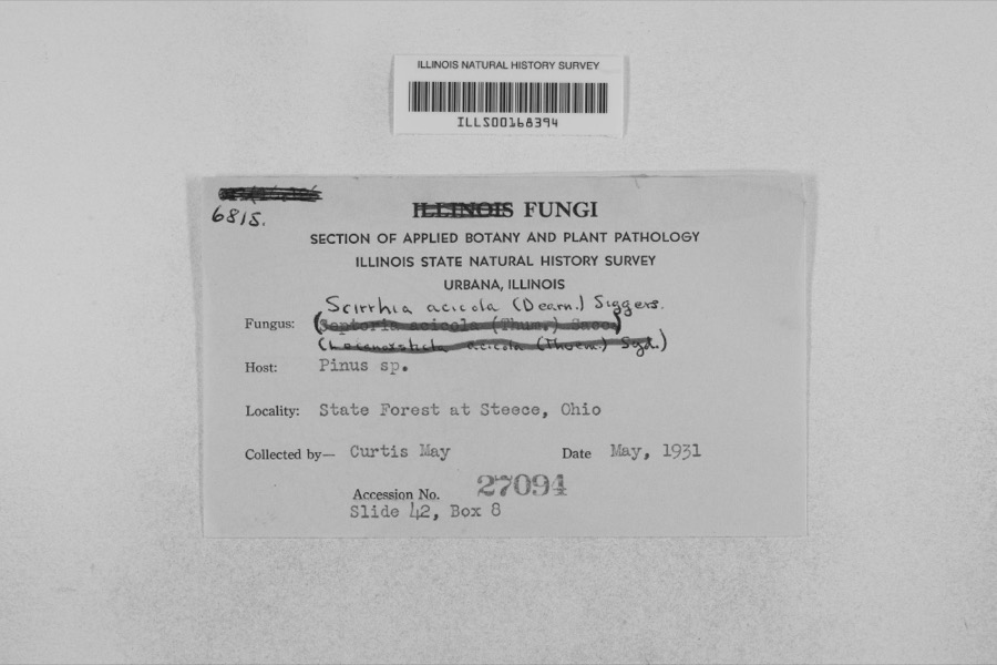 | Mycosphaerella dearnessii M.E.Barr | 1931 | Curtis May | State Forest at Steece |
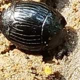 | Hister abbreviatus Fabricius, 1775 | 1885 | not recorded | Crane |
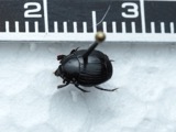 | Margarinotus faedatus (J.E.LeConte, 1845) | 1885 | not recorded | Crane |
 | Phyllachora graminis (Pers.) Fuckel | 1900 | Bonser Thos. | Wyandot Co. |
| Phyllachora vulgata Theiss. & Syd. | 1900 | Thos. Bouser | Big Spring Prairie | |
 | Puccinia eatoniae Arthur | 1901 | Bouser Thomas? | Wyandot Co. |
| Puccinia fusca Wallr. | 1901 | Bouser Thomas | Wyandot Co. | |
 | Puccinia podophylli Schwein. | 1901 | Bowser Thomas | Wyandot Co. |
| Uncinula macrospora Peck | 1901 | T. A. Bonser | ||
 | Alasmidonta marginata Say, 1818 | 1915 | Goodrich, Calvin | Upper Sandusky |
 | Alasmidonta viridis (Rafinesque, 1820) | 1915 | Goodrich, Calvin | Upper Sandusky |
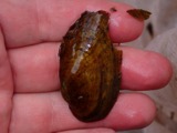 | Cambarunio iris (I.Lea, 1829) | 1915 | Goodrich, Calvin | Upper Sandusky |
All 219 specimens within 10 miles, at the Global Biodiversity Information Facility.
Nearest settlements
The eight closest, with where each one stands in the county. Distances are straight-line, computed from the Geographic Names Information System coordinates.
| Map | Place | Distance | Sheets |
|---|---|---|---|
| Marseilles | 2.8 miles | 12 | |
| Bowsherville (historical) | 4.0 miles | 11 | |
| Kirby | 5.8 miles | 10 | |
| Harpster | 6.2 miles | 11 | |
| South Park | 7.0 miles | 10 | |
| Upper Sandusky | 7.8 miles | 10 | |
| Mononcue | 8.2 miles | 10 | |
| Little Sandusky | 8.2 miles | 12 |
Elsewhere
Matched on this settlement's Geographic Names Information System number rather than its name, so it cannot be a different place of the same name in another state.
| Wikipedia article on Brownstown | An encyclopaedic summary. Its text is share-alike, so it is linked here rather than copied. |
| Wikidata item Q22033521 | The structured record the population and elevation above come from. Public domain (CC0). |
Provenance
This settlement is recorded in the Geographic Names Information System as feature 1062670. The sheet list is computed by point-in-boundary test against the United States Geological Survey's historical topographic inventory. Both are works of the United States government and carry no copyright under 17 U.S.C. 105.
Specimens. Global Biodiversity Information Facility (GBIF), https://www.gbif.org/. Only records licensed CC0 or CC BY are used. Records licensed CC BY-NC are excluded because this site carries advertising. Images are checked individually and any whose licence is non-commercial, no-derivatives or unreadable is refused.