 Block
Block
Harpster, Ohio
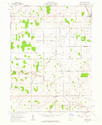
11 topographic sheets cover this place, the earliest surveyed in 1915 and the latest in 1986. It stands in Pitt Township. It lies in ZIP code area 43323. The Survey maps it on the Meeker quadrangle. 160 people lived here at the 2020 count. It stands 906 feet above sea level.
Population over time
2 figuresHarpster fell from 204 to 160 between 2010 and 2020. These are the recorded population figures Wikidata holds for this place, reached through the Geographic Names Information System number this page is keyed on rather than by name, so they belong to this place and not to another of the same name. Most are census counts, but not all are: an early figure may be a founding or settlement estimate. The change column is computed, and is left blank where more than 20 years separate a figure from the one before it, because a gap that long is not a change between two counts.
| Year | People | Change |
|---|---|---|
| 2010 | 204 | |
| 2020 | 160 | -44 (-22%) |
Then and now
1915 to 1986The same ground, surveyed 71 years apart. Drag the handle to wipe between them. Both sheets are United States Geological Survey originals; neither has been altered.

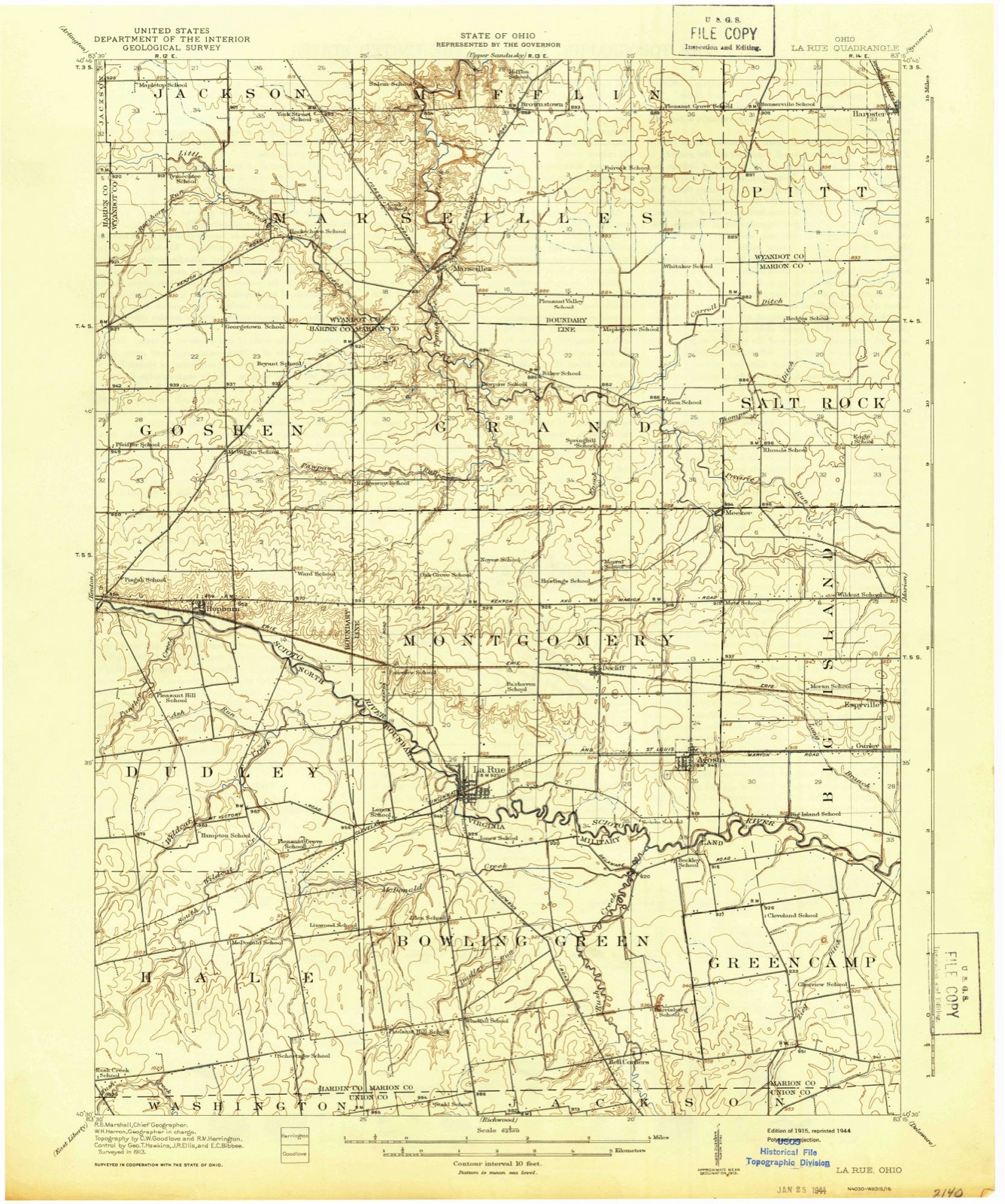
Topographic sheets covering this place
11 sheetsMatched by testing this settlement's coordinate against the published boundary of every sheet in the United States Geological Survey's historical collection. Each opens the scanned sheet at the Survey.
- 1915 USGS La Rue quadrangle1:62500
- 1950 USGS Marion quadrangle1:250000
- 1961 USGS Meeker quadrangle1:24000
- 1961 USGS Meeker quadrangle1:24000
- 1961 USGS Meeker quadrangle1:24000
- 1962 USGS Marion quadrangle1:250000
- 1966 USGS Marion quadrangle1:250000
- 1966 USGS Marion quadrangle1:250000
- 1966 USGS Marion quadrangle1:250000
- 1986 USGS Marion quadrangle1:100000
- 1986 USGS Marion quadrangle1:100000







In the county-history sources
23,693 words on this townshipThe History of Wyandot County, Ohio, Containing a History of the County: Its Townships, Towns, Churches, Schools, Etc.;, published 1884 names this settlement in its chapter on Pitt Township. These are the passages that mention it, exactly as the scans read.
Pitt is one of the most fertile townships of the county, a large portion of its area being made up of prairie land. The Sandusky River enters near the northeast corner of Section 25, and flows in a tortuous, general northwest direction, leaving the township at the northwest corner of Section 15, while the Little Sandusky Creek enters near the center of the township on the south, and flows north, being joined by Honey Run from the east near the southern line of Section 35, and uniting with "Big" Sandusky near the center of Section 26. These streams water the eastern half of the township, which is also favored by several flowing springs. The western portion of the township is drained by several small streams which take their rise in that region and flow in a northwesterly direction, carrying the surplus water from the fertile fields which are so generally provided with the "blind" tile ditches, and affording an ample supply of water to the large herds of stock which may not be provided with pools and springs. The territory is well adapted to general agriculture and stock-raising, and is the seat of operations for some of the most prominent dealers in this section of the State, chief among them being David Harpster, C. R. Fowler and Lewis Straw.
Passage source: The History of Wyandot County, Ohio, Containing a History of the County: Its Townships, Towns, Churches, Schools, Etc.;, published 1884.
The first thoroughfare laid out in this township was established prior to 1821, and was known as the Columbus & Sandusky road. It extended through Sections 1, 35, 26, 27, 22, 15 and 16, and it was by this route by which the first settlers reached the Indian Mill above Upper Sandusky and the town of Delaware, where they were accustomed to go for supplies. They also went to the town of Fremont to obtain supplies and get their " milling " done. In 1839, the first saw mill run by water-power was constructed on Section 35 by Thomas Holmes, and in 1844 this same enterprising gentleman built a grist mill, run also by water-power, on the Sandusky River in Section 26. The only mill of the kind in this township is now located at Fowler, and is owned by David Harpster. Ora Bellis established the first store in Pitt in Little Sandusky as early as 1820. He died, as may have been expected, in the fall of the same year, having the honor of establishing the precedent for such transactions in this township. In 1844, the United Brethren denomination erected at Little Sandusky the first church building in the township, which now claims four of these places of worship, two in Little Sandusky, one at Fowler, and one on Section 12. The latter is owned by the German Reformed society; the others by the Methodist Episcopal denomination.* The first election held in the township was at Little Sandusky, the officers elected being one Justice, Gideon Messenger; a Constable and three Trustees, Moses Messenger, Walter Woolsey and Cornelius Wilson. They were all Whigs, the number of votes polled not exceeding twenty. As early as 1821, Cupid found his way into these wilds, and the first victims of his magic spell were Joseph Wilson and Cloy Woolsey. They were married at Little Sandusky, and in the following year, 1822, a daughter, Hannahret, was born to them, she being the first white babe in Pitt Township to mingle her cries with those of the wild papoose.
Passage source: The History of Wyandot County, Ohio, Containing a History of the County: Its Townships, Towns, Churches, Schools, Etc.;, published 1884.
Little Sandusky's first school building was erected in 1854. It was a frame structure, one story, 22x40 feet, contained two rooms, and cost about $400. It has been used since 1883 as a sort of public hall, where elections and other official gatherings are held. The present new school building was erected in 1883, the building board being David Bretz, Burk Martin and Hiram Cunningham. It is a neat brick structure, two-story, 40x22 feet in size, and cost about $4,000. The present Board of Education consists of the following members : David Bretz, Burk Martin and Hiram Cunningham. S. S. Hart is the present Superintendent and high school teacher; he is a young man of efficient qualities, a resident of this township.
Passage source: The History of Wyandot County, Ohio, Containing a History of the County: Its Townships, Towns, Churches, Schools, Etc.;, published 1884.
Machine-read from a century-old scan, so expect the errors a machine makes: misspelled names, dropped words, stray characters.
Read the whole chapter on Pitt Township - it names this place 15 more 15 times.
Specimens collected near this place
12 of 246 shownRegional context, not property-specific evidence. Museums hold 246 specimens collected within 10 miles of Harpster between 1885 and 1975: 230 Animalia, 13 Fungi, 3 Plantae. 12 distinct Species records are shown. Collected by Acker, G., Allen, J. M., Blyth & Katz and others. Each is a physical object with a catalogue number, and each entry opens the museum's record. This is what was collected and kept, not a survey of what lives here - nothing can be concluded from a species being absent.
| Image | Species | Year | Collected by | Where, as recorded |
|---|---|---|---|---|
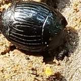 | Hister abbreviatus Fabricius, 1775 | 1885 | not recorded | Crane |
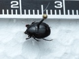 | Margarinotus faedatus (J.E.LeConte, 1845) | 1885 | not recorded | Crane |
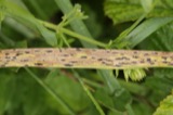 | Phyllachora graminis (Pers.) Fuckel | 1900 | Bonser Thos. | Wyandot Co. |
| Phyllachora vulgata Theiss. & Syd. | 1900 | Thos. Bouser | Big Spring Prairie | |
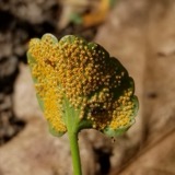 | Puccinia eatoniae Arthur | 1901 | Bouser Thomas? | Wyandot Co. |
| Puccinia fusca Wallr. | 1901 | Bouser Thomas | Wyandot Co. | |
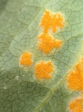 | Puccinia podophylli Schwein. | 1901 | Bowser Thomas | Wyandot Co. |
| Uncinula macrospora Peck | 1901 | T. A. Bonser | ||
 | Alasmidonta marginata Say, 1818 | 1915 | Goodrich, Calvin | Upper Sandusky |
 | Alasmidonta viridis (Rafinesque, 1820) | 1915 | Goodrich, Calvin | Upper Sandusky |
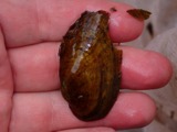 | Cambarunio iris (I.Lea, 1829) | 1915 | Goodrich, Calvin | Upper Sandusky |
 | Fusconaia flava (Rafinesque, 1820) | 1915 | Goodrich, Calvin | Upper Sandusky |
All 246 specimens within 10 miles, at the Global Biodiversity Information Facility.
Mines and quarries near this place
1 within 5 milesRegional context, not property-specific evidence. The federal mineral resources record lists 1 working within 5 miles of Harpster: 1 producer. All of them still produce. What was taken out: Stone, Crushed/Broken. Distance is straight-line from the map coordinates, so a quarry counted here may appear on a neighbouring settlement's page as well.
| Where | Site | Commodity | Status | Recorded |
|---|---|---|---|---|
| Mccarthy Stone Quarry | Stone, Crushed/Broken | Producer |
Storms near this place
6 since 1996Regional context, not property-specific evidence. The National Weather Service names Harpster in 6 storm reports between 1996 and 2026: 5 thunderstorm wind, 1 hail. No death or injury is recorded in these reports. Each account below is quoted exactly as the forecast office filed it, from the NOAA Storm Events Database, and each date opens the federal record of that event.
| When | Event | Place named | Harm | What the report says |
|---|---|---|---|---|
| June 1996 | Thunderstorm Wind | Harpster | $75,000 | no account filed |
| November 2003 | Thunderstorm Wind | Harpster | $3,000 | Thunderstorm winds downed a few large tree limbs. |
| July 2003 | Thunderstorm Wind | Harpster | $2,000 | Thunderstorm winds downed two large tree limbs. |
| March 2026 | Thunderstorm Wind | Harpster | - | Trees downed along County Highway 61, just east of U.S. Route 23, on the southeast side of Upper Sandusky. |
| March 2026 | Thunderstorm Wind | Harpster | - | Trees downed in Harpster. |
| March 2012 | Hail | Harpster | - | Nickel sized hail was observed. |
Nearest settlements
The eight closest, with where each one stands in the county. Distances are straight-line, computed from the Geographic Names Information System coordinates.
| Map | Place | Distance | Sheets |
|---|---|---|---|
| Little Sandusky | 2.0 miles | 12 | |
| Bowsherville (historical) | 2.1 miles | 11 | |
| South Park | 5.6 miles | 10 | |
| Douglass (historical) | 6.0 miles | 12 | |
| Mononcue | 6.1 miles | 10 | |
| Brownstown | 6.2 miles | 11 | |
| Upper Sandusky | 6.2 miles | 10 | |
| Wyandot | 7.1 miles | 11 |
Elsewhere
Matched on this settlement's Geographic Names Information System number rather than its name, so it cannot be a different place of the same name in another state.
| Wikipedia article on Harpster | An encyclopaedic summary. Its text is share-alike, so it is linked here rather than copied. |
| Wikidata item Q2042058 | The structured record the population and elevation above come from. Public domain (CC0). |
Provenance
This settlement is recorded in the Geographic Names Information System as feature 1064799. The sheet list is computed by point-in-boundary test against the United States Geological Survey's historical topographic inventory. Both are works of the United States government and carry no copyright under 17 U.S.C. 105.
Specimens. Global Biodiversity Information Facility (GBIF), https://www.gbif.org/. Only records licensed CC0 or CC BY are used. Records licensed CC BY-NC are excluded because this site carries advertising. Images are checked individually and any whose licence is non-commercial, no-derivatives or unreadable is refused.
Mines and quarries. USGS Mineral Resources Data System (MRDS) https://mrdata.usgs.gov/mrds/ A work of the United States government, no copyright under 17 U.S.C. 105.
Storms. NOAA National Centers for Environmental Information, Storm Events Database https://www.ncei.noaa.gov/stormevents/ A work of the United States government, no copyright under 17 U.S.C. 105. Narratives are quoted verbatim from the National Weather Service report and are not edited or summarised.