 Block
Block
Marseilles, Ohio
12 topographic sheets cover this place, the earliest surveyed in 1915 and the latest in 1986. It stands in Marseilles Township. It lies in ZIP code area 43351. It stands on Little Tymochtee Creek. The Survey maps it on the Marseilles quadrangle. 93 people lived here at the 2020 count. It stands 876 feet above sea level.
Population over time
2 figuresMarseilles fell from 112 to 93 between 2010 and 2020. These are the recorded population figures Wikidata holds for this place, reached through the Geographic Names Information System number this page is keyed on rather than by name, so they belong to this place and not to another of the same name. Most are census counts, but not all are: an early figure may be a founding or settlement estimate. The change column is computed, and is left blank where more than 20 years separate a figure from the one before it, because a gap that long is not a change between two counts.
| Year | People | Change |
|---|---|---|
| 2010 | 112 | |
| 2020 | 93 | -19 (-17%) |
Then and now
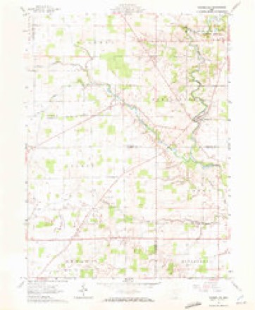
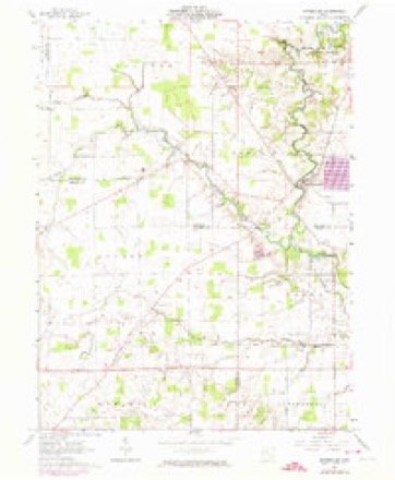
1915 to 1986The same ground, surveyed 71 years apart. Drag the handle to wipe between them. Both sheets are United States Geological Survey originals; neither has been altered.

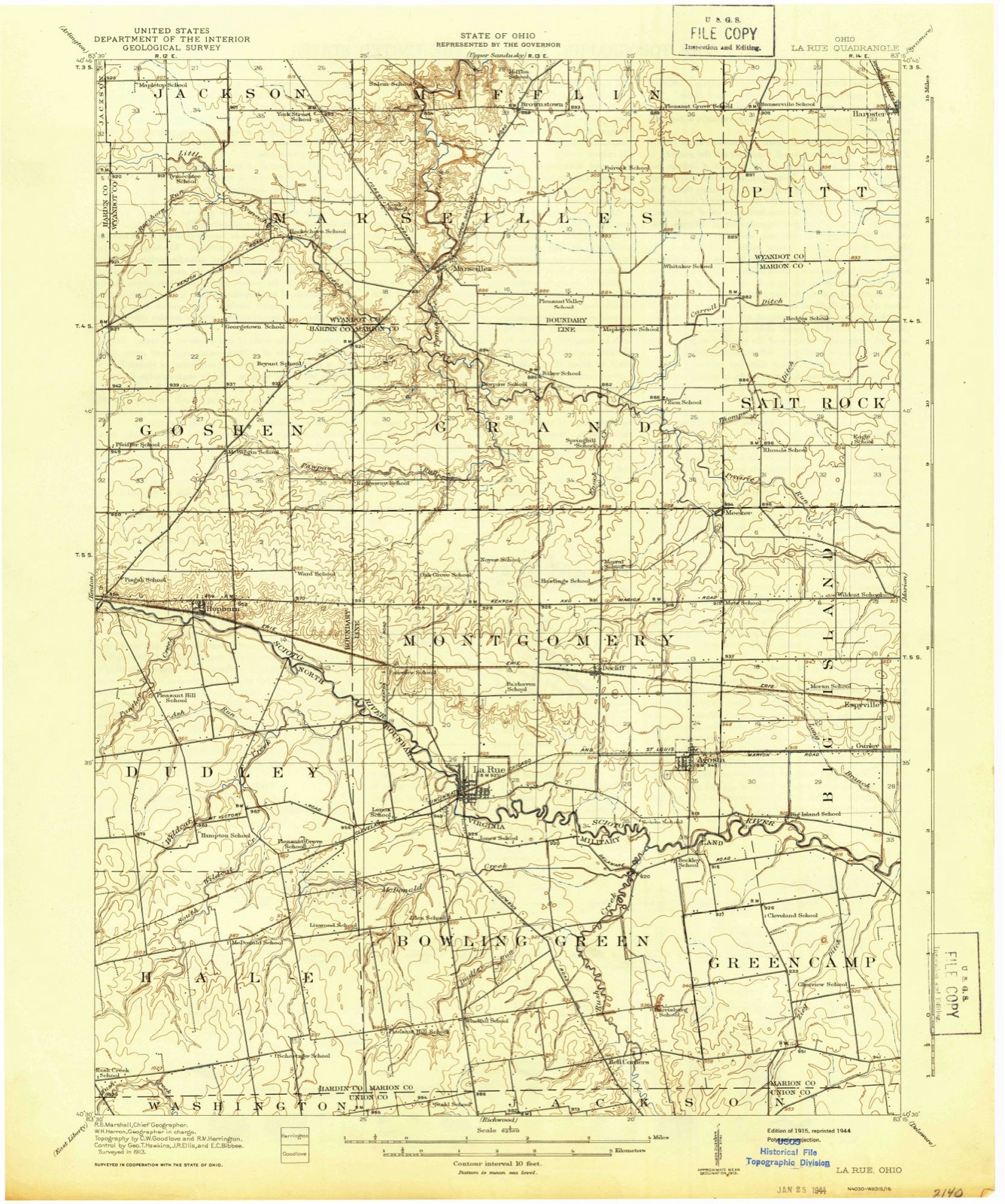
Topographic sheets covering this place
12 sheetsMatched by testing this settlement's coordinate against the published boundary of every sheet in the United States Geological Survey's historical collection. Each opens the scanned sheet at the Survey.
- 1915 USGS La Rue quadrangle1:62500
- 1950 USGS Marion quadrangle1:250000
- 1960 USGS Marseilles quadrangle1:24000
- 1960 USGS Marseilles quadrangle1:24000
- 1960 USGS Marseilles quadrangle1:24000
- 1960 USGS Marseilles quadrangle1:24000
- 1962 USGS Marion quadrangle1:250000
- 1966 USGS Marion quadrangle1:250000
- 1966 USGS Marion quadrangle1:250000
- 1966 USGS Marion quadrangle1:250000
- 1986 USGS Marion quadrangle1:100000
- 1986 USGS Marion quadrangle1:100000







In the county-history sources
19,047 words on this townshipThe History of Wyandot County, Ohio, Containing a History of the County: Its Townships, Towns, Churches, Schools, Etc.;, published 1884 names this settlement in its chapter on Marseilles Township. These are the passages that mention it, exactly as the scans read.
The quality of the soil is some of the best in the county, and is specially adapted for bearing wheat and other cereals. Although a goodly poi'tion of this township to the east of Marseilles Village is solid forest or prairie land, yet the many prosperous farms that abound in the remainder afiford abundant evidence of the fruitfulness of the land under care of the agriculturist, whose attention appears to be pretty equally bestowed in the production of corn, wheat, hay, potatoes, and other crops.
Passage source: The History of Wyandot County, Ohio, Containing a History of the County: Its Townships, Towns, Churches, Schools, Etc.;, published 1884.
The first highway to be regularly laid out, in this township, was the State or Bellefontaine road in 1822, which enters from Mifflin Township, on the farm of John P. Miller, in Section 4, and, after traversing the township in a southwesterly direction and passing through Marseilles Village, it enters Marion County at the southern edge of Section 18. Two roads enter from Pitt Township in the east at Sections 1 and 13 respectively, the more noi'therly of which runs about due west, and strikes Jackson Township at Section 2 west; the other road leads due west till it reaches the western edge of Section 16, when it proceeds due north a short distance; then due west again for a quarter of a mile; then northwest till it terminates in Marseilles Village. From the old Bellefontaine road two others diverge, one leading northwest into Jackson Township, and the other taking a somewhat irregular route northwest, west aad southwest, into Hardin County.
Passage source: The History of Wyandot County, Ohio, Containing a History of the County: Its Townships, Towns, Churches, Schools, Etc.;, published 1884.
Probably the oldest settler in the township, now living, is Samuel Simpson, who was born July 8, 1815. He at one time drove a stage between Cincinnati and Portland, and between Springfield and Columbus, for two years, commencing that occupation when eighteen years of age. He came with his parents, Samuel and Elizabeth Simpson, to Marseilles Township in 1821, and now resides in Marseilles. In his association with the Indians, he learned to speak their language, and still possesses that acquirement. Garrett Fitzgerald; a native of Virginia and a married man with a family of seven children, settled in the southeast quarter section in 1822. In the same year came David and Jerry Terry. In 1823, William Renick, a native of Virginia, and Charles Crosberry; in 1824, Thomas Wallace; in 1825, A. Renick, James Brown, Robert Ward, Richard Lee, Harvey Buckmeister, Col. Hunt, William Bowsher, Anthony Bowsher, David Harpster, David Miller. In 1826, Daniel and Samuel Straw and Joseph Parish; John Heckathorn came in 1828, and Maj. Hugh Long, a tanner, located in the village of Marseilles in 1832. He was born in West Liberty, Va., April 12, 1794, and served in the war of 1812 as a member of a Light Horse Company, commanded by Capt. Ichabod Nye, of Knox County. They camped on what is now known as "Armstrong's Bottom," about two miles south of Upper Sandusky. When Maj. Long came to engage in the business of tanning in Marseilles in 1832, Charles Merriman owned the only frame house in the village, which then consisted of some six or eight cabins. The Major filled, in his lifetime, nearly every township office, and he did much toward building up the village to what it now is. During the latter years of his life, he drew a pension from the Government for his services.
Passage source: The History of Wyandot County, Ohio, Containing a History of the County: Its Townships, Towns, Churches, Schools, Etc.;, published 1884.
Machine-read from a century-old scan, so expect the errors a machine makes: misspelled names, dropped words, stray characters.
Read the whole chapter on Marseilles Township - it names this place 44 more 44 times.
Specimens collected near this place
12 of 67 shownRegional context, not property-specific evidence. Museums hold 67 specimens collected within 10 miles of Marseilles between 1929 and 1973: 64 Animalia, 2 Plantae, 1 Fungi. 12 distinct Species records are shown. Collected by Acker, G., C.R. Neiswander, Curtis May and others. Each is a physical object with a catalogue number, and each entry opens the museum's record. This is what was collected and kept, not a survey of what lives here - nothing can be concluded from a species being absent.
| Image | Species | Year | Collected by | Where, as recorded |
|---|---|---|---|---|
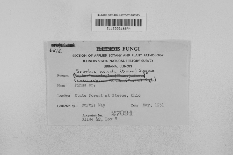 | Mycosphaerella dearnessii M.E.Barr | 1931 | Curtis May | State Forest at Steece |
 | Campostoma anomalum anomalum | 1929 | Trautman, M. B. (Milton Bernard) & Foster, R. (Robert) | Little Sandusky River, near town of Little Sandusky, ~2.8 mi E of Harpster, Pitt township |
 | Luxilus cornutus (Mitchill, 1817) | 1929 | MB Trautman | Tymochtee Creek, at Marseilles, Marseilles Twnp |
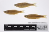 | Notropis spilopterus (Cope, 1867) | 1929 | Trautman, M. B. (Milton Bernard) & Foster, R. (Robert) | Little Sandusky River, near town of Little Sandusky, ~2.8 mi E of Harpster, Pitt township |
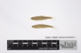 | Notropis umbratilis (Girard, 1856) | 1929 | Trautman, M. B. (Milton Bernard) & Foster, R. (Robert) | Little Sandusky River, near town of Little Sandusky, ~2.8 mi E of Harpster, Pitt township |
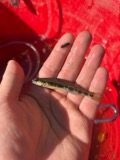 | Percina maculata (Girard, 1859) | 1929 | Trautman, M. B. (Milton Bernard) & Foster, R. (Robert) | Little Sandusky River, near town of Little Sandusky, ~2.8 mi E of Harpster, Pitt township |
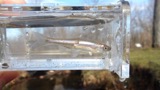 | Cyprinella spiloptera (Cope, 1867) | 1930 | MB Trautman | Tymochtee Creek, Center of Mifflin Twp |
 | Etheostoma blennioides blennioides Rafinesque, 1819 | 1930 | MB Trautman | Tymochtee Creek, Center of Mifflin Twp |
 | Etheostoma nigrum Rafinesque, 1820 | 1930 | MB Trautman | Tymochtee Creek, Center of Mifflin Twp |
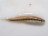 | Fundulus notatus (Rafinesque, 1820) | 1930 | MB Trautman | Tymochtee Creek, Center of Mifflin Twp |
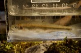 | Lythrurus umbratilis (Girard, 1856) | 1930 | MB Trautman | Tymochtee Creek, Center of Mifflin Twp |
 | Moxostoma erythrurum (Rafinesque, 1818) | 1930 | MB Trautman | Tymochtee Creek, Center of Mifflin Twp |
All 67 specimens within 10 miles, at the Global Biodiversity Information Facility.
Storms near this place
3 since 1997Regional context, not property-specific evidence. The National Weather Service names Marseilles in 3 storm reports between 1997 and 2020: 2 thunderstorm wind, 1 hail. No death or injury is recorded in these reports. Each account below is quoted exactly as the forecast office filed it, from the NOAA Storm Events Database, and each date opens the federal record of that event.
| When | Event | Place named | Harm | What the report says |
|---|---|---|---|---|
| July 1997 | Thunderstorm Wind | Marseilles | $3,000 | no account filed |
| July 2020 | Thunderstorm Wind | Marseilles | - | Trees down across the road on County Route 123, north of County Route 77 east of Marseilles. Time estimated via radar. |
| June 2008 | Hail | Marseilles | - | no account filed |
Nearest settlements
The eight closest, with where each one stands in the county. Distances are straight-line, computed from the Geographic Names Information System coordinates.
| Map | Place | Distance | Sheets |
|---|---|---|---|
| Brownstown | 2.8 miles | 11 | |
| Bowsherville (historical) | 5.8 miles | 11 | |
| Harpster | 7.8 miles | 11 | |
| Kirby | 7.8 miles | 10 | |
| South Park | 9.7 miles | 10 | |
| Little Sandusky | 9.8 miles | 12 | |
| Upper Sandusky | 10.5 miles | 10 | |
| Mononcue | 10.9 miles | 10 |
Elsewhere
Matched on this settlement's Geographic Names Information System number rather than its name, so it cannot be a different place of the same name in another state.
| Wikipedia article on Marseilles | An encyclopaedic summary. Its text is share-alike, so it is linked here rather than copied. |
| Wikidata item Q59050 | The structured record the population and elevation above come from. Public domain (CC0). |
Provenance
This settlement is recorded in the Geographic Names Information System as feature 1061474. The sheet list is computed by point-in-boundary test against the United States Geological Survey's historical topographic inventory. Both are works of the United States government and carry no copyright under 17 U.S.C. 105.
Specimens. Global Biodiversity Information Facility (GBIF), https://www.gbif.org/. Only records licensed CC0 or CC BY are used. Records licensed CC BY-NC are excluded because this site carries advertising. Images are checked individually and any whose licence is non-commercial, no-derivatives or unreadable is refused.
Storms. NOAA National Centers for Environmental Information, Storm Events Database https://www.ncei.noaa.gov/stormevents/ A work of the United States government, no copyright under 17 U.S.C. 105. Narratives are quoted verbatim from the National Weather Service report and are not edited or summarised.