 Block
Block
Buckland, Ohio
14 topographic sheets cover this place, the earliest surveyed in 1911 and the latest in 1986. It stands in Logan Township. It lies in ZIP code area 45819. The Survey maps it on the Moulton quadrangle. 233 people lived here at the 2020 count. It stands 850 feet above sea level.
Population over time
2 figuresBuckland grew from 233 to 233 between 2010 and 2020. These are the recorded population figures Wikidata holds for this place, reached through the Geographic Names Information System number this page is keyed on rather than by name, so they belong to this place and not to another of the same name. Most are census counts, but not all are: an early figure may be a founding or settlement estimate. The change column is computed, and is left blank where more than 20 years separate a figure from the one before it, because a gap that long is not a change between two counts.
| Year | People | Change |
|---|---|---|
| 2010 | 233 | |
| 2020 | 233 | 0 (0%) |
Then and now
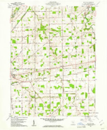
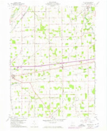
1911 to 1986The same ground, surveyed 75 years apart. Drag the handle to wipe between them. Both sheets are United States Geological Survey originals; neither has been altered.

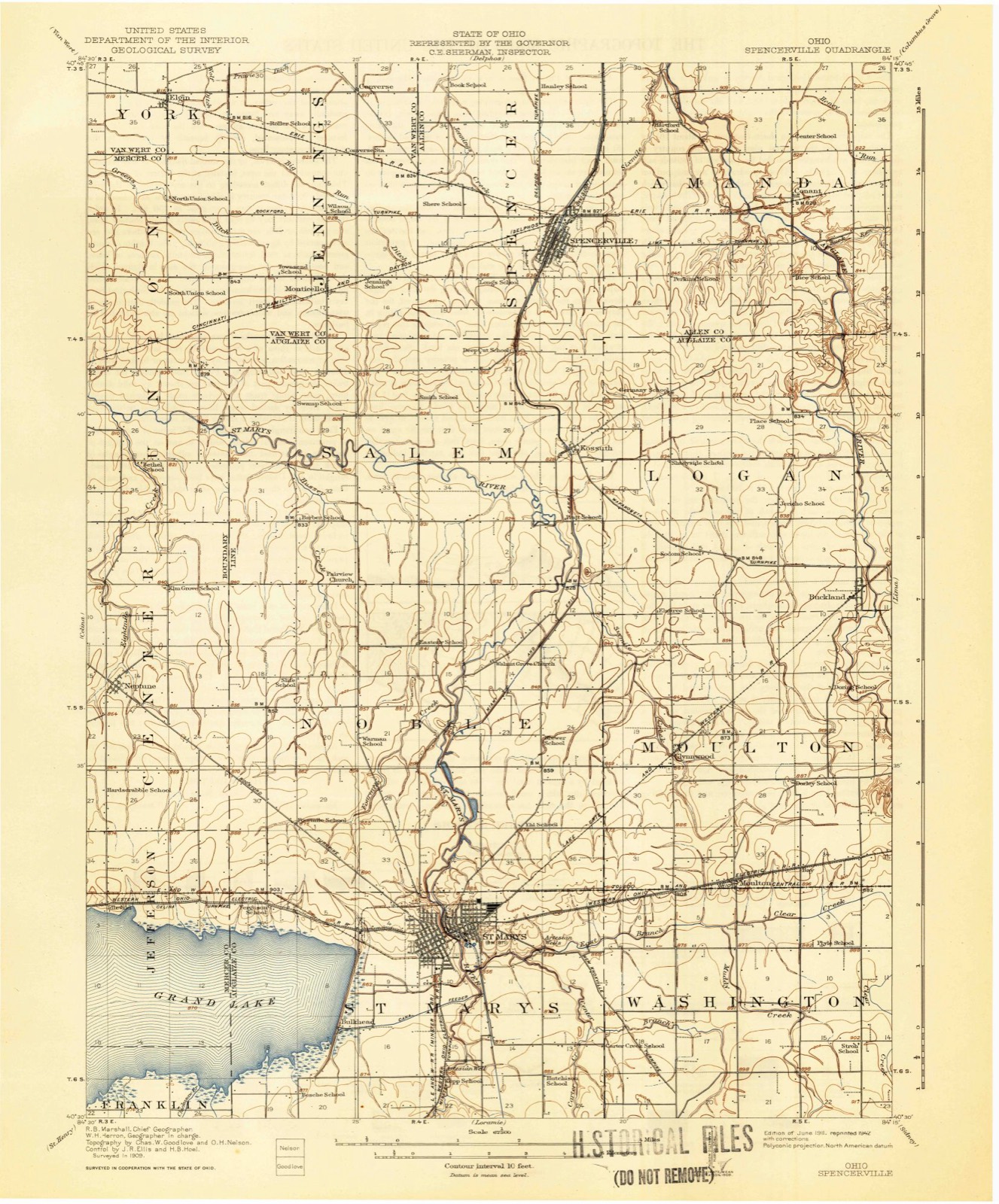
Topographic sheets covering this place
14 sheetsMatched by testing this settlement's coordinate against the published boundary of every sheet in the United States Geological Survey's historical collection. Each opens the scanned sheet at the Survey.
- 1911 USGS Spencerville quadrangle1:62500
- 1944 USGS Spencerville quadrangle1:62500
- 1953 USGS Muncie quadrangle1:250000
- 1953 USGS Muncie quadrangle1:250000
- 1953 USGS Muncie quadrangle1:250000
- 1953 USGS Muncie quadrangle1:250000
- 1953 USGS Muncie quadrangle1:250000
- 1956 USGS Muncie quadrangle1:250000
- 1960 USGS Moulton quadrangle1:24000
- 1960 USGS Moulton quadrangle1:24000
- 1960 USGS Moulton quadrangle1:24000
- 1986 USGS Lima quadrangle1:100000
- 1986 USGS Lima quadrangle1:100000
- 1986 USGS Lima quadrangle1:100000









What happened here
An account from the chapter on Logan township, The inset identifies its exact source book and publication year.
History Of Western Ohio
The next day the neighbors collected and went to the home; there they found the bodies of Mr. Kinnon and two children, all scalped. Mrs. Kinnon was nowhere to be found, so they concluded that she had been taken prisoner. Two little boys of the Kinnon family made their escape through a back window, and reached the nearest settlement in safety.
In the county-history sources
11,470 words on this townshipHistory of Western Ohio and Auglaize County, with Illustrations and Biographical Sketches of Pioneers and Prominent Public Men, published 1905 names this settlement in its chapter on Logan Township. These are the passages that mention it, exactly as the scans read.
Buckland Village, the only one in the township, was platted by Josiah Clawson and John H. Gochenour, November 27, 1872, and was originally named White Feather after an Indian village located near by. After the construction of the Lake Erie and Western railroad the name was changed to Buckland in honor of General Buckland, of Fremont, Ohio, one of the promoters of the road. The name was not changed officially, however, until 1891, when a petition was presented to the county commissioners, to incorporate the village and change the name from White Feather to Buckland. The petition was granted, and an election of village officers ordered. The village at that time had three hundred inhabitants.
Passage source: History of Western Ohio and Auglaize County, with Illustrations and Biographical Sketches of Pioneers and Prominent Public Men, published 1905.
The few pioneers residing in Logan township in 1825, were surrounded by Indians. A tribe of Shawnees was located at White Feather near Buckland, a second tribe of Shawnees at Shawnee Town, where the Children's Home in Allen county is situated, and a fierce tribe of Ottowas, north of Fort Amanda. Being in constant communication with the Shawnees, Berryman soon acquired their language, and often participated in their sports and feasts. As he spoke the language with fluency, he was frequently employed as an interpreter. Later in life he amused his friends by dancing Indian dances, and describing Indian pow-wows. On one occasion he witnessed an incident in his boyhood that occurred at James Crosier's house, located about two miles up the river. An Indian named Leeso, a noted thief of Shawnee Town, pawned a log-chain and two copper kettles at Crosiers for two bladders filled with whiskey. As soon as he received them he started west in the direction of the river, intending to cross and indulge in a drunk. He was hardly out of sight when Indian whoops were heard in the opposite direction. A few minutes later three Indians mounted on ponies rode up to the house and inquired for Leeso. They were informed that he had been there a short time before, and that he was probably by that time across the river. They immediately started in pursuit of the thief and overtook him near the river. They relieved him of his ill gotten whiskey and whipped him nearly to death with hickory switches, and left him lying on the bank of the river. They then returned to Crosier's and demanded the stolen goods, which were returned to them. Being satisfied with the restitution, they returned to Shawnee. Leeso survived the chastisement and lived to commit, numerous thefts in after years.
Passage source: History of Western Ohio and Auglaize County, with Illustrations and Biographical Sketches of Pioneers and Prominent Public Men, published 1905.
John S. Butcher was born in Licking county, Ohio, in 1838. He received a common school education, as good as the time and circumstances would permit. At the age of fifteen years he left home and engaged in agricultural pursuits until 1859, when he entered a farm in Knox county, Ohio. After two years of labor in the development of this farm he sold it, and moved to Auglaize county. In 1861 he purchased the east half of the northwest quarter of section nine in Logan township. Later he bought the west half of the same quarter section. In 1859, he was united in marriage to Miss Catherine Crottinger. Of this union eight children have been born : William Henry, Sarah, Alice, Ellen, Martha, Cora, James, and Clarence. Four are married, and three of them are residing in Buckland, this county, and one resides in Waynesfield. Mr. Butcher having a correct appreciation of learning, has given each of his children a liberal education. Every corpmunity has among its citizens a few men of recognized influence and ability. The community soon perceived Mr. Butcher's ability as a manager of pubtic affairs. He has long and faithfully served the people of his township and the county in positions of trust. He is a Democrat of the old school, and upon that ticket he has been elected Justice of the Peace of Logan township, which office he has held for twenty-five years. He has served as township trustee for six years, and has been a member of the Board of Directors of the Agricultural Society for twenty-five years. He was elected County Commissioner in 1894, and reelected in 1897.
Passage source: History of Western Ohio and Auglaize County, with Illustrations and Biographical Sketches of Pioneers and Prominent Public Men, published 1905.
Machine-read from a century-old scan, so expect the errors a machine makes: misspelled names, dropped words, stray characters.
Read the whole chapter on Logan Township - it names this place 1 more 1 time.
Specimens collected near this place
12 of 1,094 shownRegional context, not property-specific evidence. Museums hold 1,094 specimens collected within 10 miles of Buckland between 1882 and 1975: 1,020 Animalia, 74 Plantae. 12 distinct Species records are shown. Collected by A. Wetzstein, Adler, K. K., Albert Wetzstein and others. Each is a physical object with a catalogue number, and each entry opens the museum's record. This is what was collected and kept, not a survey of what lives here - nothing can be concluded from a species being absent.
| Image | Species | Year | Collected by | Where, as recorded |
|---|---|---|---|---|
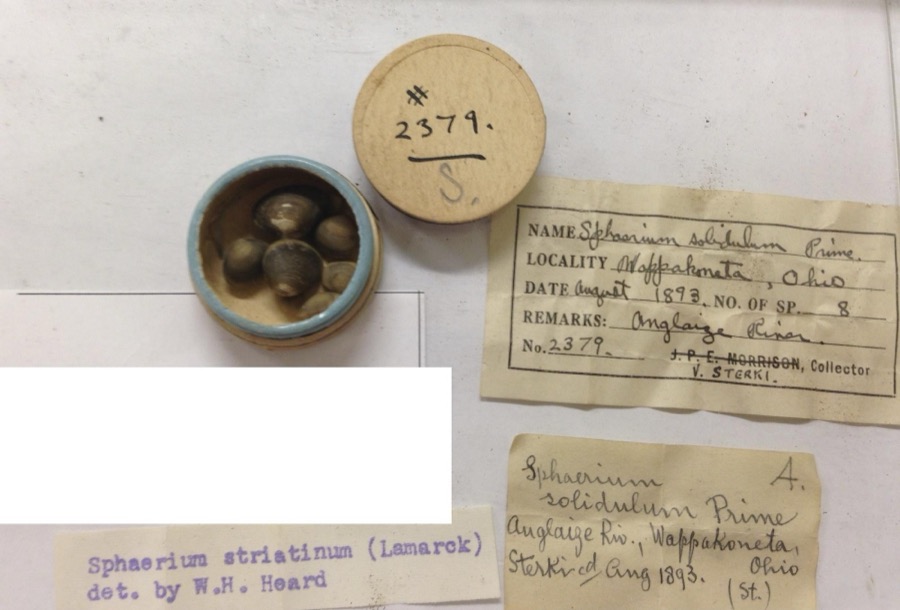 | Sphaerium striatinum (Lamarck, 1818) | 1893 | not recorded | Auglaize River, Wapakoneta [Wappakoneta] |
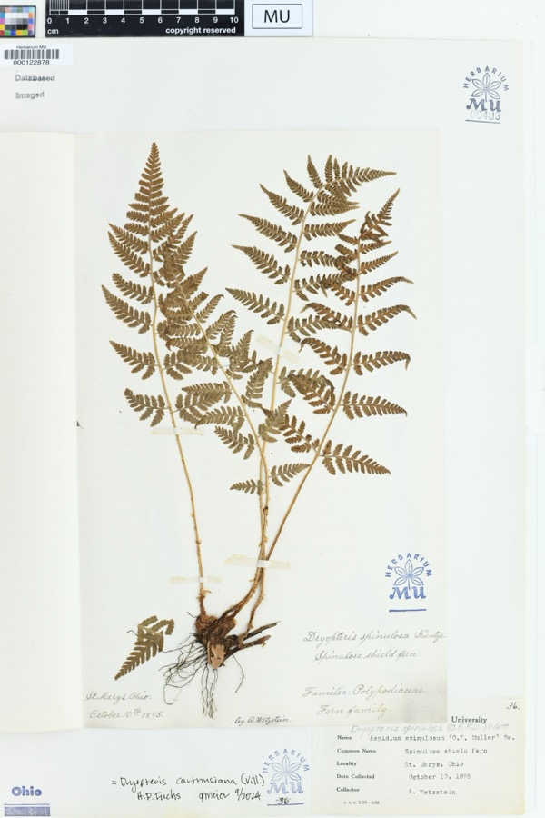 | Dryopteris spinulosa (O.F.Müll.) Watt | 1895 | Wetzstein, A. | St. Marys, Ohio. |
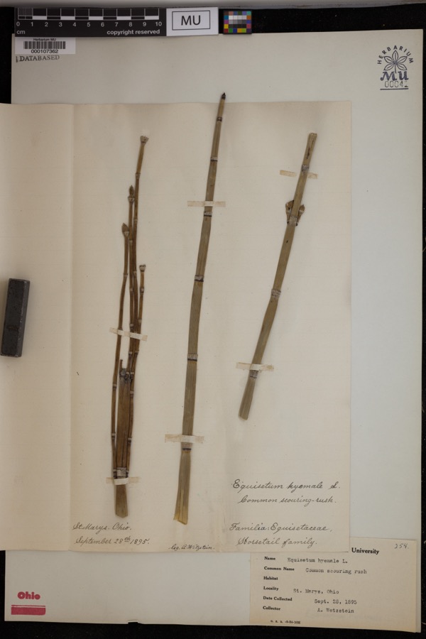 | Equisetum hyemale L. | 1895 | Wetzstein, A. | St. Marys. |
 | Recurvirostra americana J.F.Gmelin, 1789 | 1882 | Uller, C. (Clem) | St. Marys Res, Auglaize, Ohio, USA |
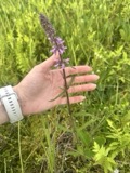 | Stachys aspera Michx. | 1889 | Wilhelm Schibler | Ohio: St. Marys, borders of Canal. |
 | Alasmidonta viridis (Rafinesque, 1820) | 1893 | Sterki, Victor | Wapakoneta |
 | Amblema plicata (Say, 1817) | 1893 | Sterki, Victor | Wapakoneta |
 | Ameiurus nebulosus (Lesueur, 1819) | 1893 | P. Kirsch | Anglaize Rver, Wapakaneta, Ohio |
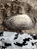 | Anodontoides ferussacianus (I.Lea, 1834) | 1893 | Sterki, Victor | Wapakoneta |
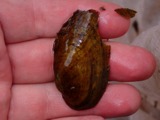 | Cambarunio iris (I.Lea, 1829) | 1893 | Sterki, Victor | Wapakoneta |
 | Campostoma anomalum (Rafinesque, 1820) | 1893 | P. Kirsch | Ohio, Auglaize River, Wapakoneta |
 | Catostomus commersonii (Lacepède, 1803) | 1893 | P. Kirsch | Ohio, Auglaize River, Wapakoneta |
All 1,094 specimens within 10 miles, at the Global Biodiversity Information Facility.
Mines and quarries near this place
4 within 5 milesRegional context, not property-specific evidence. The federal mineral resources record lists 4 workings within 5 miles of Buckland: 2 past producers, 1 producer, 1 plant. 2 still produce. What was taken out: Clay, Limestone, General, Stone, Crushed/Broken. Distance is straight-line from the map coordinates, so a quarry counted here may appear on a neighbouring settlement's page as well.
| Where | Site | Commodity | Status | Recorded |
|---|---|---|---|---|
| Buckland Plant & Quarry | Stone, Crushed/Broken | Plant | ||
| Buckland Quarry | Limestone, General | Past Producer | Sedimentary | |
| Sandkuhl Tiie Clay Pit | Clay | Past Producer | Sedimentary | |
| Sandkuhl Tile Co Pit | Clay | Producer |
Storms near this place
12 since 2003Regional context, not property-specific evidence. The National Weather Service names Buckland in 12 storm reports between 2003 and 2021: 7 thunderstorm wind, 4 hail, 1 flood. No death or injury is recorded in these reports. Each account below is quoted exactly as the forecast office filed it, from the NOAA Storm Events Database, and each date opens the federal record of that event.
| When | Event | Place named | Harm | What the report says |
|---|---|---|---|---|
| June 2010 | Thunderstorm Wind | Buckland | $45,000 | Damage occurred to trees, crops, and buildings due to damaging thunderstorm winds. At the first location, healthy pine trees were uprooted, a fruit tree was snapped in half, and a walnut tree was also snapped in half. Across the road there was damage to a corn field. Additional locations around the area reported corn damage and tree damage. In addition to the crop damage, a house had damage to the porch, a silo was damaged, and a barn was destroyed. |
| August 2008 | Thunderstorm Wind | Buckland | $10,000 | Several twelve-inch diameter tree limbs were knocked down. A barn had its roof ripped off. |
| March 2019 | Thunderstorm Wind | Buckland | $8,000 | The tops of two silos were blown over and a barn was damaged. |
| May 2003 | Thunderstorm Wind | Buckland | $3,000 | Trees and powerlines were blown down. |
| June 2012 | Thunderstorm Wind | Buckland | $2,000 | Very large limbs were reported broken due to damaging thunderstorm winds. |
| August 2021 | Thunderstorm Wind | Buckland | $1,000 | A tree was downed on Short Line Road. |
| November 2017 | Thunderstorm Wind | Buckland | $1,000 | Sheet metal roofing was removed from an outbuilding. |
| April 2019 | Flood | Buckland | - | At least six roads were still closed due to flooding, mainly in the western portions of the county. |
| July 2020 | Hail | Buckland | - | no account filed |
| April 2013 | Hail | Buckland | - | no account filed |
| April 2013 | Hail | Buckland | - | no account filed |
| August 2011 | Hail | Buckland | - | no account filed |
Nearest settlements
The eight closest, with where each one stands in the county. Distances are straight-line, computed from the Geographic Names Information System coordinates.
| Map | Place | Distance | Sheets |
|---|---|---|---|
| Sherwood Forest | 3.2 miles | 15 | |
| Glynwood | 4.1 miles | 14 | |
| Pusheta Town (historical) | 4.1 miles | 15 | |
| Bay (historical) | 4.8 miles | 14 | |
| Moulton | 5.0 miles | 14 | |
| Wapakoneta | 5.2 miles | 15 | |
| Kossuth | 5.3 miles | 14 | |
| Colonial Estates | 5.6 miles | 15 |
Elsewhere
Matched on this settlement's Geographic Names Information System number rather than its name, so it cannot be a different place of the same name in another state.
| Wikipedia article on Buckland | An encyclopaedic summary. Its text is share-alike, so it is linked here rather than copied. |
| Wikidata item Q2469041 | The structured record the population and elevation above come from. Public domain (CC0). |
Provenance
This settlement is recorded in the Geographic Names Information System as feature 1070698. The sheet list is computed by point-in-boundary test against the United States Geological Survey's historical topographic inventory. Both are works of the United States government and carry no copyright under 17 U.S.C. 105.
Specimens. Global Biodiversity Information Facility (GBIF), https://www.gbif.org/. Only records licensed CC0 or CC BY are used. Records licensed CC BY-NC are excluded because this site carries advertising. Images are checked individually and any whose licence is non-commercial, no-derivatives or unreadable is refused.
Mines and quarries. USGS Mineral Resources Data System (MRDS) https://mrdata.usgs.gov/mrds/ A work of the United States government, no copyright under 17 U.S.C. 105.
Storms. NOAA National Centers for Environmental Information, Storm Events Database https://www.ncei.noaa.gov/stormevents/ A work of the United States government, no copyright under 17 U.S.C. 105. Narratives are quoted verbatim from the National Weather Service report and are not edited or summarised.