 Block
Block
Glynwood, Ohio
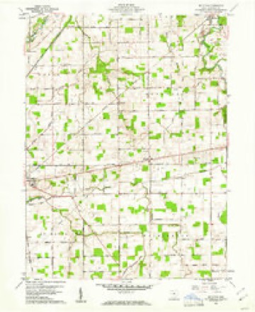
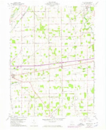
14 topographic sheets cover this place, the earliest surveyed in 1911 and the latest in 1986. It stands in Moulton Township. It lies in ZIP code area 45885. The Survey maps it on the Moulton quadrangle. It stands 2,799 feet above sea level.
Then and now
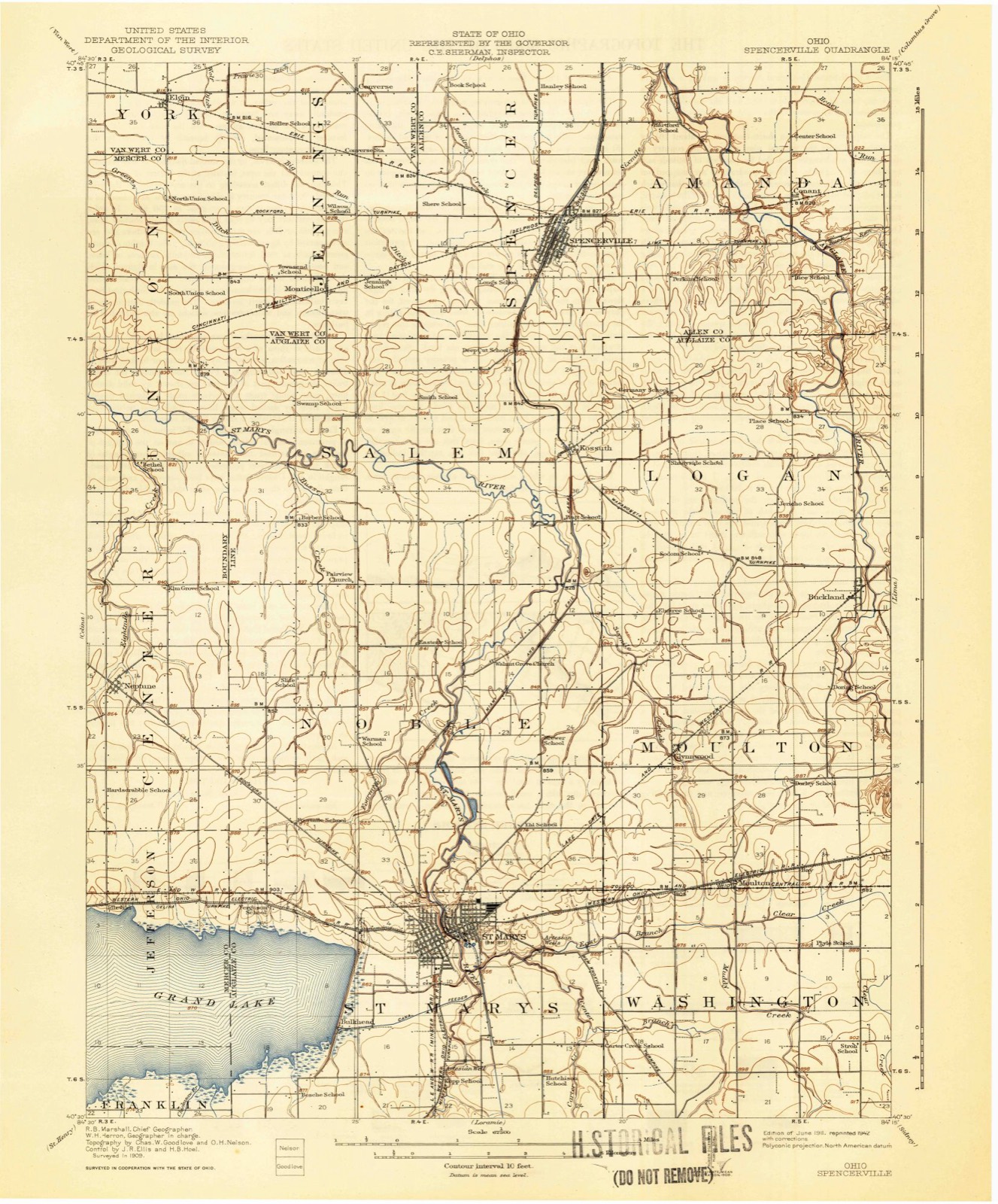
1911 to 1986The same ground, surveyed 75 years apart. Drag the handle to wipe between them. Both sheets are United States Geological Survey originals; neither has been altered.

Topographic sheets covering this place
14 sheetsMatched by testing this settlement's coordinate against the published boundary of every sheet in the United States Geological Survey's historical collection. Each opens the scanned sheet at the Survey.
- 1911 USGS Spencerville quadrangle1:62500
- 1944 USGS Spencerville quadrangle1:62500
- 1953 USGS Muncie quadrangle1:250000
- 1953 USGS Muncie quadrangle1:250000
- 1953 USGS Muncie quadrangle1:250000
- 1953 USGS Muncie quadrangle1:250000
- 1953 USGS Muncie quadrangle1:250000
- 1956 USGS Muncie quadrangle1:250000
- 1960 USGS Moulton quadrangle1:24000
- 1960 USGS Moulton quadrangle1:24000
- 1960 USGS Moulton quadrangle1:24000
- 1986 USGS Lima quadrangle1:100000
- 1986 USGS Lima quadrangle1:100000
- 1986 USGS Lima quadrangle1:100000









In the county-history sources
7,581 words on this townshipHistory of Auglaize County, Ohio : with the Indian History of Wapakoneta, and the First Settlement of the County, published 1880 names this settlement in its chapter on Moulton Township. These are the passages that mention it, exactly as the scans read.
Churches. - There are five churches: The Catholic church near Glynwood; Methodist and German Lutheran at Moulton; Christian at Oak Grove; and United Brethren on the Auglaize. The different denominations preserve harmonious relations, and are free from sectarian strife.
Passage source: History of Auglaize County, Ohio : with the Indian History of Wapakoneta, and the First Settlement of the County, published 1880.
John Glynn was born in Galway County, Ireland, on the fifteenth of August, 1820. He emigrated to this country Aug. 28, 1851, and settled in Columbus, Ohio, where he stayed until he moved to Auglaize County on the fifteenth of May, 1857, to the farm on which he now resides. The Lake Erie and Western Railroad passes through his farm. He laid out a town, which was named Glynwood in honor of him by Samuel Craig.
Passage source: History of Auglaize County, Ohio : with the Indian History of Wapakoneta, and the First Settlement of the County, published 1880.
The 37th Regiment O. V. I. was the third German regiment organized in the State, and was mustered into service October 2, 1862. It participated in the campaigns of the Kanawha Valle}', Arkansas, and the Yazoo River, and again in the investment of Vicksburg. Here the Lieut.-Colonel was severely wounded, and the command during the next month devolved upon Major Hipp, now of St. Marys. After the fall of Vicksburg, the regiment participated in the capture of Jackson, and returned to Cherokee Station, via Memphis and Corinth. It next appeared at Chattanooga, operating in the Sugar Creek Valley, and in the march to Kingston, again in command of Major Hipp. It afterward engaged in the movements on the Chattahoochee River, but moved rapidly from here against Atlanta. Alter the fall of the city, forced marches were made across Georgia and Alahama in pursuit of Hood's cavalry. On Nov. 13, 1864, the regiment entered Atlanta to obtain outfits for the " grand march to the sea" under Sherman. The history of this march is known, and at its close we find the regiment in camp at Goldsboro', N. C, during the capitulations of Lee and Johnson. It then marched to Washington, was reviewed by the President and Cabinet, and then transferred to Little Rock, Arkansas, and lastly to Cleveland, Ohi<», where the men were discharged, Aug. 12, 1865.
Passage source: History of Auglaize County, Ohio : with the Indian History of Wapakoneta, and the First Settlement of the County, published 1880.
Machine-read from a century-old scan, so expect the errors a machine makes: misspelled names, dropped words, stray characters.
Read the whole chapter on Moulton Township - it names this place 1 more 1 time.
Specimens collected near this place
12 of 953 shownRegional context, not property-specific evidence. Museums hold 953 specimens collected within 10 miles of Glynwood between 1882 and 1975: 863 Animalia, 89 Plantae, 1 Bacteria. 12 distinct Species records are shown. Collected by A. Wetzstein, Adler, K. K., Albert Wetzstein and others. Each is a physical object with a catalogue number, and each entry opens the museum's record. This is what was collected and kept, not a survey of what lives here - nothing can be concluded from a species being absent.
| Image | Species | Year | Collected by | Where, as recorded |
|---|---|---|---|---|
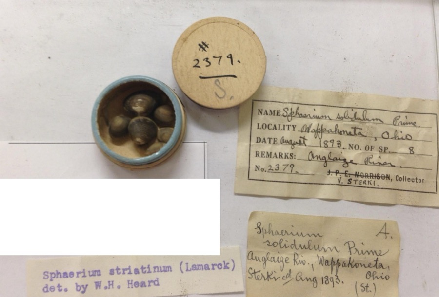 | Sphaerium striatinum (Lamarck, 1818) | 1893 | not recorded | Auglaize River, Wapakoneta [Wappakoneta] |
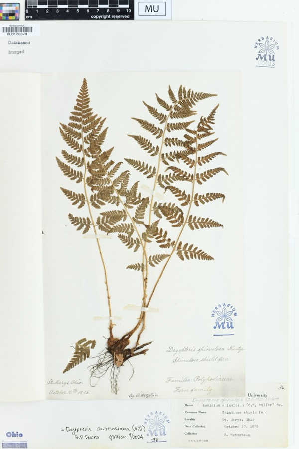 | Dryopteris spinulosa (O.F.Müll.) Watt | 1895 | Wetzstein, A. | St. Marys, Ohio. |
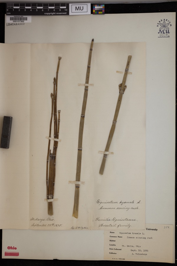 | Equisetum hyemale L. | 1895 | Wetzstein, A. | St. Marys. |
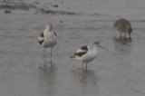 | Recurvirostra americana J.F.Gmelin, 1789 | 1882 | Uller, C. (Clem) | St. Marys Res, Auglaize, Ohio, USA |
 | Stachys aspera Michx. | 1889 | Wilhelm Schibler | Ohio: St. Marys, borders of Canal. |
 | Alasmidonta viridis (Rafinesque, 1820) | 1893 | Sterki, Victor | Wapakoneta |
 | Amblema plicata (Say, 1817) | 1893 | Sterki, Victor | Wapakoneta |
 | Ameiurus nebulosus (Lesueur, 1819) | 1893 | P. Kirsch | Anglaize Rver, Wapakaneta, Ohio |
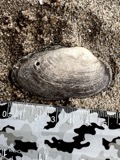 | Anodontoides ferussacianus (I.Lea, 1834) | 1893 | Sterki, Victor | Wapakoneta |
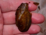 | Cambarunio iris (I.Lea, 1829) | 1893 | Sterki, Victor | Wapakoneta |
 | Campostoma anomalum (Rafinesque, 1820) | 1893 | P. Kirsch | Ohio, Auglaize River, Wapakoneta |
 | Catostomus commersonii (Lacepède, 1803) | 1893 | P. Kirsch | Ohio, Auglaize River, Wapakoneta |
All 953 specimens within 10 miles, at the Global Biodiversity Information Facility.
Mines and quarries near this place
3 within 5 milesRegional context, not property-specific evidence. The federal mineral resources record lists 3 workings within 5 miles of Glynwood: 1 producer, 1 past producer, 1 plant. 2 still produce. What was taken out: Stone, Crushed/Broken, Limestone, General. Distance is straight-line from the map coordinates, so a quarry counted here may appear on a neighbouring settlement's page as well.
| Where | Site | Commodity | Status | Recorded |
|---|---|---|---|---|
| Buckland Quarry | Limestone, General | Past Producer | Sedimentary | |
| Buckland Plant & Quarry | Stone, Crushed/Broken | Plant | ||
| Con-Ag, Inc. | Stone, Crushed/Broken | Producer |
Storms near this place
3 since 2014Regional context, not property-specific evidence. The National Weather Service names Glynwood in 3 storm reports between 2014 and 2020: 2 flood, 1 thunderstorm wind. No death or injury is recorded in these reports. Each account below is quoted exactly as the forecast office filed it, from the NOAA Storm Events Database, and each date opens the federal record of that event.
| When | Event | Place named | Harm | What the report says |
|---|---|---|---|---|
| August 2020 | Thunderstorm Wind | Glynwood | $1,000 | A tree was knocked down. |
| November 2017 | Flood | Glynwood | - | Several roads remained closed due to lingering high water, including Rapp Road and Townline Kossuth Road. |
| April 2014 | Flood | Glynwood | - | County Road 66A was closed due to high standing water caused by heavy rainfall. |
Nearest settlements
The eight closest, with where each one stands in the county. Distances are straight-line, computed from the Geographic Names Information System coordinates.
| Map | Place | Distance | Sheets |
|---|---|---|---|
| Moulton | 2.1 miles | 14 | |
| Bay (historical) | 2.8 miles | 14 | |
| Buckland | 4.1 miles | 14 | |
| Pusheta Town (historical) | 4.7 miles | 15 | |
| Saint Marys | 4.8 miles | 14 | |
| Sherwood Forest | 5.3 miles | 15 | |
| Kossuth | 5.6 miles | 14 | |
| Paradise Court | 5.7 miles | 14 |
Elsewhere
Matched on this settlement's Geographic Names Information System number rather than its name, so it cannot be a different place of the same name in another state.
| Wikipedia article on Glynwood | An encyclopaedic summary. Its text is share-alike, so it is linked here rather than copied. |
| Wikidata item Q10964155 | The structured record the population and elevation above come from. Public domain (CC0). |
Provenance
This settlement is recorded in the Geographic Names Information System as feature 1070760. The sheet list is computed by point-in-boundary test against the United States Geological Survey's historical topographic inventory. Both are works of the United States government and carry no copyright under 17 U.S.C. 105.
Specimens. Global Biodiversity Information Facility (GBIF), https://www.gbif.org/. Only records licensed CC0 or CC BY are used. Records licensed CC BY-NC are excluded because this site carries advertising. Images are checked individually and any whose licence is non-commercial, no-derivatives or unreadable is refused.
Mines and quarries. USGS Mineral Resources Data System (MRDS) https://mrdata.usgs.gov/mrds/ A work of the United States government, no copyright under 17 U.S.C. 105.
Storms. NOAA National Centers for Environmental Information, Storm Events Database https://www.ncei.noaa.gov/stormevents/ A work of the United States government, no copyright under 17 U.S.C. 105. Narratives are quoted verbatim from the National Weather Service report and are not edited or summarised.