 Block
Block
Burtonville, Ohio
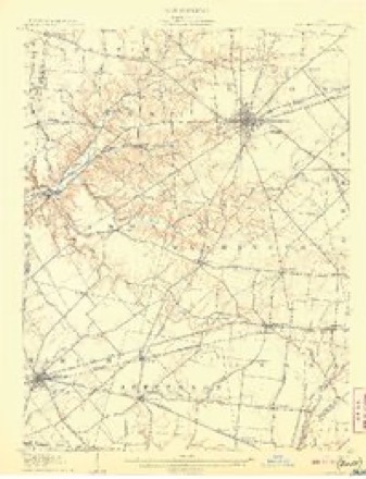
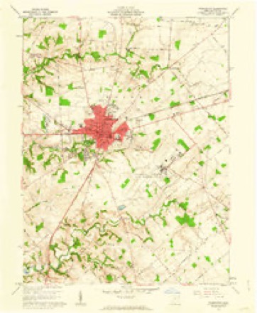
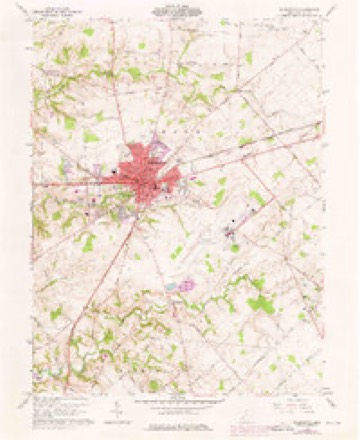
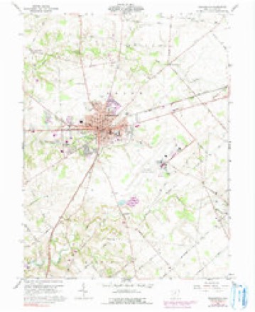
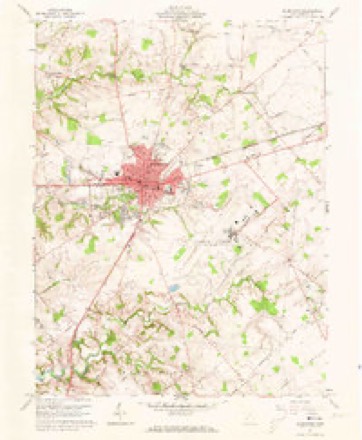
14 topographic sheets cover this place, the earliest surveyed in 1907 and the latest in 1986. It stands in Union Township. It lies in ZIP code area 45177. It stands on Indian Run. The Survey maps it on the Wilmington quadrangle.
Then and now
1907 to 1986The same ground, surveyed 79 years apart. Drag the handle to wipe between them. Both sheets are United States Geological Survey originals; neither has been altered.
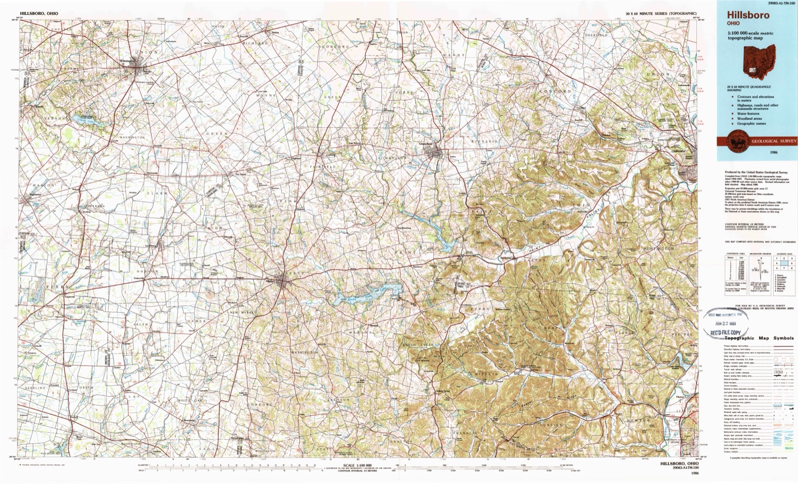
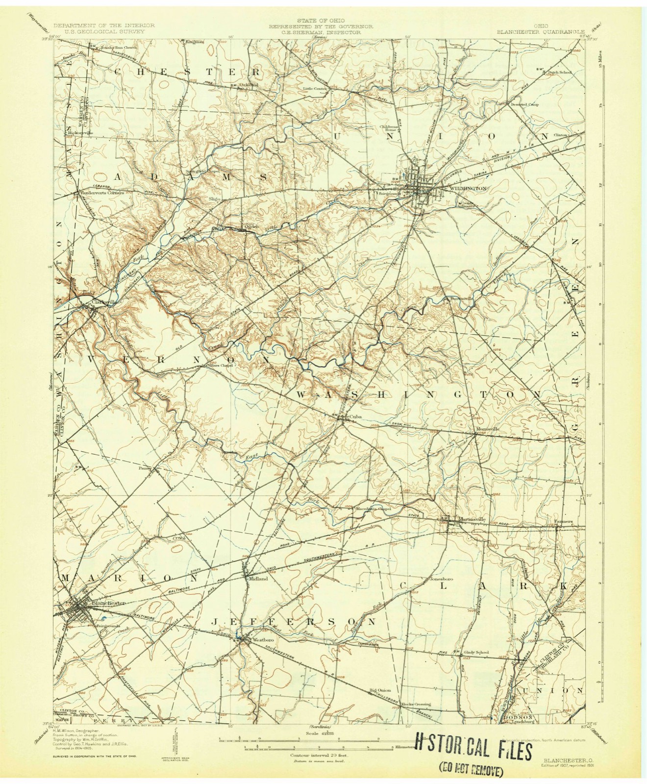
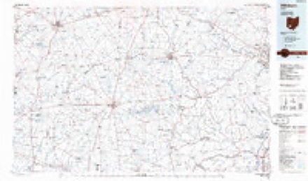
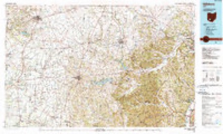
Topographic sheets covering this place
14 sheetsMatched by testing this settlement's coordinate against the published boundary of every sheet in the United States Geological Survey's historical collection. Each opens the scanned sheet at the Survey.
- 1907 USGS Blanchester quadrangle1:62500
- 1907 USGS Blanchester quadrangle1:62500
- 1907 USGS Blanchester quadrangle1:62500
- 1947 USGS Columbus quadrangle1:250000
- 1961 USGS Columbus quadrangle1:250000
- 1961 USGS Wilmington quadrangle1:24000
- 1961 USGS Wilmington quadrangle1:24000
- 1961 USGS Wilmington quadrangle1:24000
- 1961 USGS Wilmington quadrangle1:24000
- 1962 USGS Columbus quadrangle1:250000
- 1967 USGS Columbus quadrangle1:250000
- 1967 USGS Columbus quadrangle1:250000
- 1986 USGS Hillsboro quadrangle1:100000
- 1986 USGS Hillsboro quadrangle1:100000





In the county-history sources
7,216 words on this townshipHistory of Clinton County Ohio, published 1915 names this settlement in its chapter on Union Township. These are the passages that mention it, exactly as the scans read.
East from Wilmington to the township line, the land is level. but the southeast portion of the township is somewhat undulating. Following the source of Cowan's creek southwest from Burtonville, the Jand is rough and broken. Between Cowan's creek and Wilmington, the land is more level, but along Todd's fork. north and west of Wilmington, it is undulating and well-drained. For the most part, the soil of the township is a dark loam, extending to some depth, and is particularly adapted to the culture of grain and grasses. Along Cowan's and Lytle's creeks, the soil is of a mixture of dark and yellow loam and is especially good for wheat. Along Todd's fork the soil is a mixture of loam and clay, and the bottom lands, although small, are very valuable on aceount of the richness of the soil.
Passage source: History of Clinton County Ohio, published 1915.
Peyton Burton, a well-known millwright, built a number of mills in Clinton county and also remodeled several. He built a steam grist-mill just south of Wilmington and, as there was no mill of this kind in this section of the county, it did an extensive business. He also built a steam grist-mill on Cowan's creek and later built one run by water power at Burtonville. The latter mill was sold to Thomas Custis and afterward was destroyed by fire.
Passage source: History of Clinton County Ohio, published 1915.
Machine-read from a century-old scan, so expect the errors a machine makes: misspelled names, dropped words, stray characters.
Specimens collected near this place
12 of 518 shownRegional context, not property-specific evidence. Museums hold 518 specimens collected within 10 miles of Burtonville between 1892 and 1974: 435 Animalia, 55 Fungi, 25 Plantae, 3 Unrecorded. 12 distinct Species records are shown. Collected by A. R. Gaufin, A.R. Gaufin, H.H. Ross, Allen, A. (Avery) and others. Each is a physical object with a catalogue number, and each entry opens the museum's record. This is what was collected and kept, not a survey of what lives here - nothing can be concluded from a species being absent.
| Image | Species | Year | Collected by | Where, as recorded |
|---|---|---|---|---|
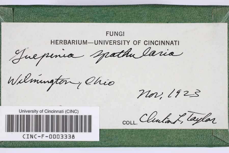 | Guepinia spathularia (Schwein.) Fr. | 1923 | Taylor, C.L. | Wilmington |
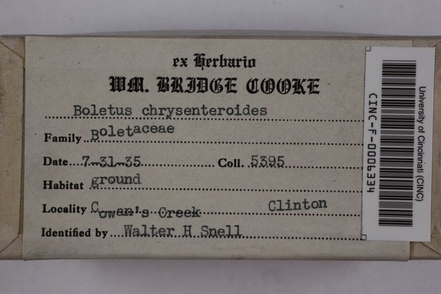 | Boletellus chrysenteroides (Snell) Snell | 1935 | Cooke, William Bridge | Cowan's Creek |
 | Boletus bicolor Raddi | 1935 | Cooke, William Bridge | Cowan's Creek |
 | Desmodium pauciflorum (Nutt.) DC. | 1892 | J. S. Vanderwort | New Antioch |
 | Pseudosuccinea columella (Say, 1817) | 1911 | not recorded | Clinton, North America |
 | Claviceps purpurea (Fr.) Tul. | 1919 | Lewis H. L. | Wilmington |
 | Cladonia fimbriata (L.) Fr. | 1923 | Taylor, C.J. | Wilmington |
 | Parmelia Acharius, 1803 | 1924 | Taylor, L. | Wilmington |
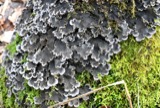 | Peltigera praetextata (Flörke ex Sommerf.) Zopf | 1924 | Taylor, C.L. | Wilmington |
 | Etheostoma variatum Kirtland, 1840 | 1926 | Wickliff, E. L. (Edward L.) | Todd Fork, near present day US 68 estimated based off Fishes of Ohio map |
 | Mustela frenata Lichtenstein, 1831 | 1927 | Hazard, F. O. | Reesville, Clinton Co., Ohio, USA |
 | Acris crepitans Baird, 1854 | 1929 | Hazard, F. O. | near Wilmington, Clinton Co., Ohio |
All 518 specimens within 10 miles, at the Global Biodiversity Information Facility.
Storms near this place
16 since 1997Regional context, not property-specific evidence. The National Weather Service names Burtonville in 16 storm reports between 1997 and 2025: 9 thunderstorm wind, 5 hail, 1 tornado, 1 flood. No death or injury is recorded in these reports. Each account below is quoted exactly as the forecast office filed it, from the NOAA Storm Events Database, and each date opens the federal record of that event.
| When | Event | Place named | Harm | What the report says |
|---|---|---|---|---|
| May 2009 | Tornado (EF0) | Burtonville | $10,000 | A second tornado touched down southeast of Wilmington along Farmers Road a few minutes after the first brief touchdown near NWS Wilmington. The extent of the damage included a barn roof partially destroyed with damage to its walls, a shed flipped and blown off its foundation, two trees uprooted and a number of large limbs downed. Metal siding was ripped off the barn roof and thrown 20 yards. This tornado was also rated an EF0 with maximum winds at 65 to 78 mph. |
| December 2025 | Thunderstorm Wind | Burtonville | $4,000 | A tree fell onto power lines on Cuba Road. |
| June 2015 | Thunderstorm Wind | Burtonville | $3,000 | Several large trees were uprooted on Leslie Drive. |
| July 1997 | Thunderstorm Wind | Burtonville | $3,000 | Several trees knocked down. |
| June 2012 | Thunderstorm Wind | Burtonville | $2,000 | One large tree, one small tree, and numerous branches were reported down on Berlin Road due to damaging thunderstorm winds. |
| July 2021 | Thunderstorm Wind | Burtonville | $1,000 | A tree was downed on State Route 134 near Davids Drive. |
| March 2019 | Thunderstorm Wind | Burtonville | $1,000 | A power pole was snapped along U.S. Route 68. |
| June 2015 | Thunderstorm Wind | Burtonville | $1,000 | Numerous tree limbs were downed across Leslie Drive. |
| June 2015 | Thunderstorm Wind | Burtonville | $500 | A seven inch diameter tree was knocked over. |
| June 2019 | Flood | Burtonville | - | High water was reported at a property along Southwind Blvd. |
| June 2016 | Thunderstorm Wind | Burtonville | - | ODOT garage station measured the gust. |
| May 2025 | Hail | Burtonville | - | no account filed |
| May 2025 | Hail | Burtonville | - | no account filed |
| May 2025 | Hail | Burtonville | - | no account filed |
| June 2017 | Hail | Burtonville | - | no account filed |
| June 2015 | Hail | Burtonville | - | no account filed |
Nearest settlements
The eight closest, with where each one stands in the county. Distances are straight-line, computed from the Geographic Names Information System coordinates.
| Map | Place | Distance | Sheets |
|---|---|---|---|
| Wilmington | 2.9 miles | 14 | |
| Town And Country Estates | 3.2 miles | 14 | |
| Morrisville | 3.5 miles | 11 | |
| New Antioch | 3.6 miles | 11 | |
| Cuba | 4.0 miles | 11 | |
| Wallopsburg | 4.6 miles | 11 | |
| Starbucktown | 5.1 miles | 14 | |
| Clinton | 5.4 miles | 14 |
Provenance
This settlement is recorded in the Geographic Names Information System as feature 1056743. The sheet list is computed by point-in-boundary test against the United States Geological Survey's historical topographic inventory. Both are works of the United States government and carry no copyright under 17 U.S.C. 105.
Specimens. Global Biodiversity Information Facility (GBIF), https://www.gbif.org/. Only records licensed CC0 or CC BY are used. Records licensed CC BY-NC are excluded because this site carries advertising. Images are checked individually and any whose licence is non-commercial, no-derivatives or unreadable is refused.
Storms. NOAA National Centers for Environmental Information, Storm Events Database https://www.ncei.noaa.gov/stormevents/ A work of the United States government, no copyright under 17 U.S.C. 105. Narratives are quoted verbatim from the National Weather Service report and are not edited or summarised.