 Block
Block
New Antioch, Ohio
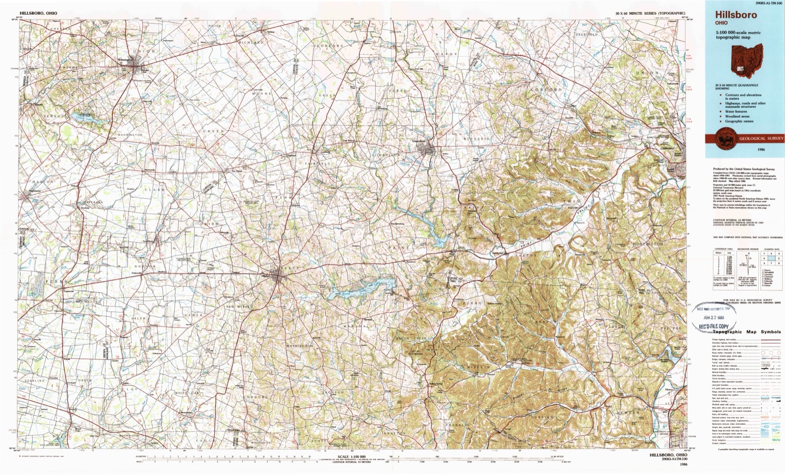
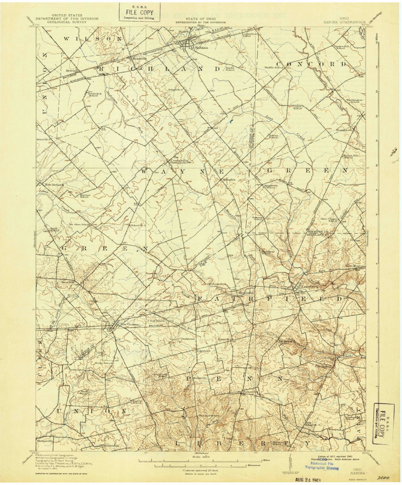
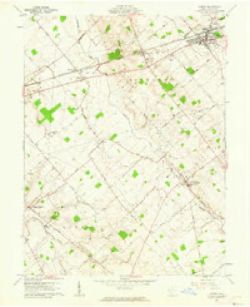
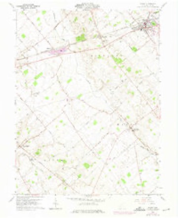
11 topographic sheets cover this place, the earliest surveyed in 1917 and the latest in 1986. It stands in Green Township. It lies in ZIP code area 45177. The Survey maps it on the Sabina quadrangle.
Then and now
1917 to 1986The same ground, surveyed 69 years apart. Drag the handle to wipe between them. Both sheets are United States Geological Survey originals; neither has been altered.
Topographic sheets covering this place
11 sheetsMatched by testing this settlement's coordinate against the published boundary of every sheet in the United States Geological Survey's historical collection. Each opens the scanned sheet at the Survey.
- 1917 USGS Sabina quadrangle1:62500
- 1943 USGS Sabina quadrangle1:62500
- 1947 USGS Columbus quadrangle1:250000
- 1961 USGS Columbus quadrangle1:250000
- 1961 USGS Sabina quadrangle1:24000
- 1961 USGS Sabina quadrangle1:24000
- 1962 USGS Columbus quadrangle1:250000
- 1967 USGS Columbus quadrangle1:250000
- 1967 USGS Columbus quadrangle1:250000
- 1986 USGS Hillsboro quadrangle1:100000
- 1986 USGS Hillsboro quadrangle1:100000





In the county-history sources
3,412 words on this townshipHistory of Clinton County Ohio, published 1915 names this settlement in its chapter on Green Township. These are the passages that mention it, exactly as the scans read.
The Church of Christ has existed as an organized body since 1866. The ground work was laid by W. D. Moore, who was then a missionary at this place under the auspices of Mt. Olive, Bethel and New Antioch churches. The churches employed him for one-fourth of his time for one year, commencing in the fall of 1859, to labor at New Vienna. In June, 1869, W. D. Moore and Rey. Mr. Bacon held a discussion, involving the doctrine of Universalism. This discussion, it is said, settled the question in this community of the doctrine of unconditional salvation. In the fall of 1866, from one thousand to one thousand five hundred dollars was subscribed for building a church house and the work was postponed until spring. With spring came the War of the Rebellion and the work was not begun until the end of the war. The building was first built in 1866 or 1867, with Zephaniah Spears and Clark Dixon as overseers.
Passage source: History of Clinton County Ohio, published 1915.
New Antioch is but a hamlet. of probably one hundred and fifty inhabitants, situated a half-mile to the northeast of the New Vienna and Wilmington pike, and about eight miles from the former place. It was platted by Charles Underwood, surveyor, for Paul Hulls, Jr.. David Marble and others, on February 28, 1851. It is part of Johnson and others' survey No. 2.386. Its buildings are all frame, but good and substantial, and takes on an appearance of thrift. Two pikes pass through the town.
Passage source: History of Clinton County Ohio, published 1915.
Machine-read from a century-old scan, so expect the errors a machine makes: misspelled names, dropped words, stray characters.
Specimens collected near this place
12 of 485 shownRegional context, not property-specific evidence. Museums hold 485 specimens collected within 10 miles of New Antioch between 1892 and 1974: 281 Animalia, 179 Fungi, 12 Plantae, 12 Protozoa, 1 Unrecorded. 12 distinct Species records are shown. Collected by A. R. Gaufin, A.R. Gaufin, H.H. Ross, Allen, A. (Avery) and others. Each is a physical object with a catalogue number, and each entry opens the museum's record. This is what was collected and kept, not a survey of what lives here - nothing can be concluded from a species being absent.
| Image | Species | Year | Collected by | Where, as recorded |
|---|---|---|---|---|
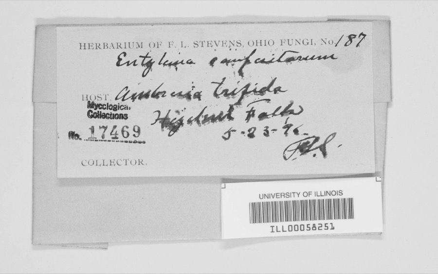 | Entyloma compositarum Farl. | 1894 | F. L. Stevens | Highland Falls. |
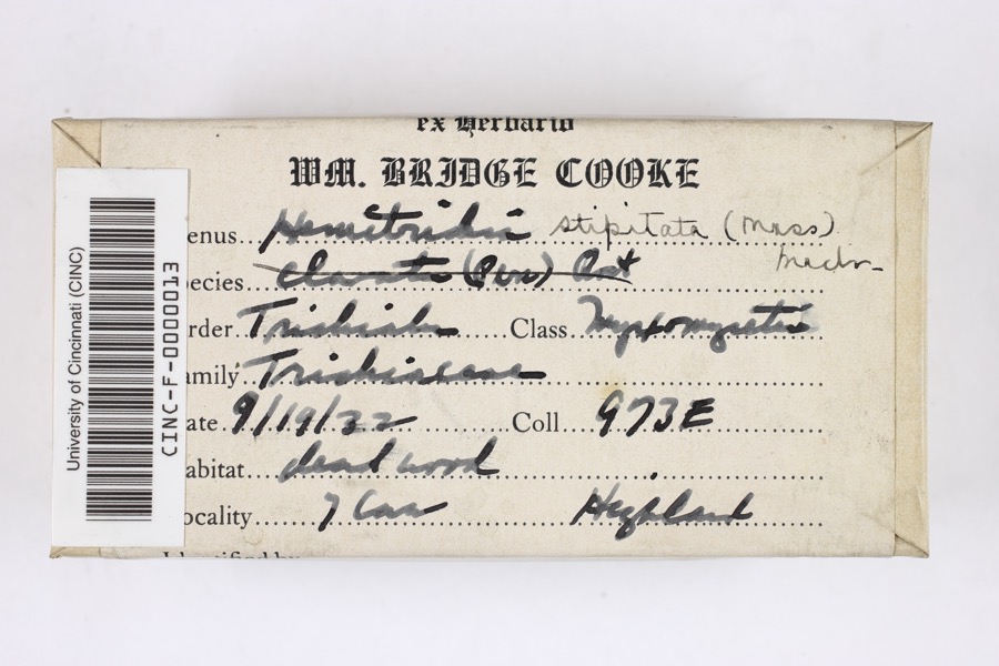 | Hemitrichia stipitata (Massee) T.Macbr., 1899 | 1922 | Cooke, William Bridge | Seven Caves (Highlands Nature Sanctuary) |
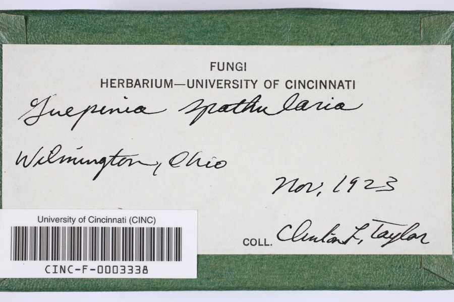 | Guepinia spathularia (Schwein.) Fr. | 1923 | Taylor, C.L. | Wilmington |
 | Desmodium pauciflorum (Nutt.) DC. | 1892 | J. S. Vanderwort | New Antioch |
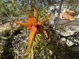 | Gymnosporangium globosum (Farl.) Farl. | 1901 | Hartley C. P. | Sabina |
 | Pseudosuccinea columella (Say, 1817) | 1911 | not recorded | Clinton, North America |
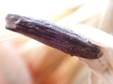 | Claviceps purpurea (Fr.) Tul. | 1919 | Lewis H. L. | Wilmington |
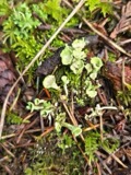 | Cladonia fimbriata (L.) Fr. | 1923 | Taylor, C.J. | Wilmington |
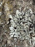 | Parmelia Acharius, 1803 | 1924 | Taylor, L. | Wilmington |
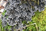 | Peltigera praetextata (Flörke ex Sommerf.) Zopf | 1924 | Taylor, C.L. | Wilmington |
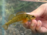 | Etheostoma variatum Kirtland, 1840 | 1926 | Wickliff, E. L. (Edward L.) | Todd Fork, near present day US 68 estimated based off Fishes of Ohio map |
 | Mustela frenata Lichtenstein, 1831 | 1927 | Hazard, F. O. | Reesville, Clinton Co., Ohio, USA |
All 485 specimens within 10 miles, at the Global Biodiversity Information Facility.
Mines and quarries near this place
2 within 5 milesRegional context, not property-specific evidence. The federal mineral resources record lists 2 workings within 5 miles of New Antioch: 1 past producer, 1 plant. 1 still produces. What was taken out: Limestone, General, Stone, Crushed/Broken. Distance is straight-line from the map coordinates, so a quarry counted here may appear on a neighbouring settlement's page as well.
| Where | Site | Commodity | Status | Recorded |
|---|---|---|---|---|
| Melvin Quarry | Limestone, General | Past Producer | Sedimentary | |
| Melvin Quarry & Mill | Stone, Crushed/Broken | Plant |
Storms near this place
8 since 1997Regional context, not property-specific evidence. The National Weather Service names New Antioch in 8 storm reports between 1997 and 2023: 5 thunderstorm wind, 2 hail, 1 tornado. No death or injury is recorded in these reports. Each account below is quoted exactly as the forecast office filed it, from the NOAA Storm Events Database, and each date opens the federal record of that event.
| When | Event | Place named | Harm | What the report says |
|---|---|---|---|---|
| July 2023 | Thunderstorm Wind | New Antioch | $15,000 | Minor tree and structural damage was found in different parts of the area centered on Antioch Road. This included roof damage to a barn, some trees, and some personal property. |
| July 2023 | Thunderstorm Wind | New Antioch | $15,000 | Minor tree and structural damage was found in different parts of the area centered on Antioch Road. This included roof damage to a barn, some trees, and some personal property. |
| July 2023 | Thunderstorm Wind | New Antioch | $5,000 | Several trees were downed along State Route 73. |
| April 2014 | Thunderstorm Wind | New Antioch | $5,000 | A barn was heavily damaged near New Antioch due to thunderstorm winds. |
| July 2015 | Thunderstorm Wind | New Antioch | $1,000 | A couple of trees were downed on Antioch Road. |
| June 2011 | Tornado (EF0) | New Antioch | - | The tornado briefly touched down near Accomodation Road between State Route 73 and State Route 134. The tornado lifted up dirt in a field into the circulation. No damage was reported. The maximum wind speed was estimated at 65 miles per hour. |
| August 2012 | Hail | New Antioch | - | no account filed |
| July 1997 | Hail | New Antioch | - | no account filed |
Nearest settlements
The eight closest, with where each one stands in the county. Distances are straight-line, computed from the Geographic Names Information System coordinates.
| Map | Place | Distance | Sheets |
|---|---|---|---|
| Burtonville | 3.6 miles | 14 | |
| Wallopsburg | 3.7 miles | 11 | |
| Powderlick | 4.0 miles | 11 | |
| Clinton | 4.1 miles | 14 | |
| Snow Hill | 4.1 miles | 11 | |
| Morrisville | 4.7 miles | 11 | |
| Melvin | 4.8 miles | 11 | |
| Wilmington | 5.1 miles | 14 |
Provenance
This settlement is recorded in the Geographic Names Information System as feature 1043816. The sheet list is computed by point-in-boundary test against the United States Geological Survey's historical topographic inventory. Both are works of the United States government and carry no copyright under 17 U.S.C. 105.
Specimens. Global Biodiversity Information Facility (GBIF), https://www.gbif.org/. Only records licensed CC0 or CC BY are used. Records licensed CC BY-NC are excluded because this site carries advertising. Images are checked individually and any whose licence is non-commercial, no-derivatives or unreadable is refused.
Mines and quarries. USGS Mineral Resources Data System (MRDS) https://mrdata.usgs.gov/mrds/ A work of the United States government, no copyright under 17 U.S.C. 105.
Storms. NOAA National Centers for Environmental Information, Storm Events Database https://www.ncei.noaa.gov/stormevents/ A work of the United States government, no copyright under 17 U.S.C. 105. Narratives are quoted verbatim from the National Weather Service report and are not edited or summarised.