 Block
Block
Wilmington, Ohio
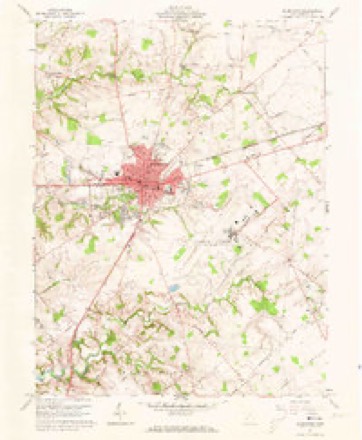
14 topographic sheets cover this place, the earliest surveyed in 1907 and the latest in 1986. It stands in Union Township. It lies in ZIP code area 45177. The Survey maps it on the Wilmington quadrangle. 12,664 people lived here at the 2020 count. It stands 1,017 feet above sea level.
Research this city
This curated hub for Clinton County, Ohio brings together the page's documented record links, visible map or image evidence where published, and routes to related local records.
What is documented here?
Use the page's provenance and linked records to distinguish the source material from the site's navigation and summaries.
How should I cite it?
Open the original record, preserve its repository and identifier, then use the citation tool for this page as a path back to the source.
Where should I go next?
Follow the county or state hub for related places and records, then use the guide for a source-aware research sequence.
Population over time
3 figuresWilmington grew from 11,921 to 12,664 between 2000 and 2020. These are the recorded population figures Wikidata holds for this place, reached through the Geographic Names Information System number this page is keyed on rather than by name, so they belong to this place and not to another of the same name. Most are census counts, but not all are: an early figure may be a founding or settlement estimate. The change column is computed, and is left blank where more than 20 years separate a figure from the one before it, because a gap that long is not a change between two counts.
| Year | People | Change |
|---|---|---|
| 2000 | 11,921 | |
| 2010 | 12,520 | +599 (+5%) |
| 2020 | 12,664 | +144 (+1%) |
Then and now
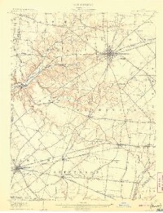
1907 to 1986The same ground, surveyed 79 years apart. Drag the handle to wipe between them. Both sheets are United States Geological Survey originals; neither has been altered.
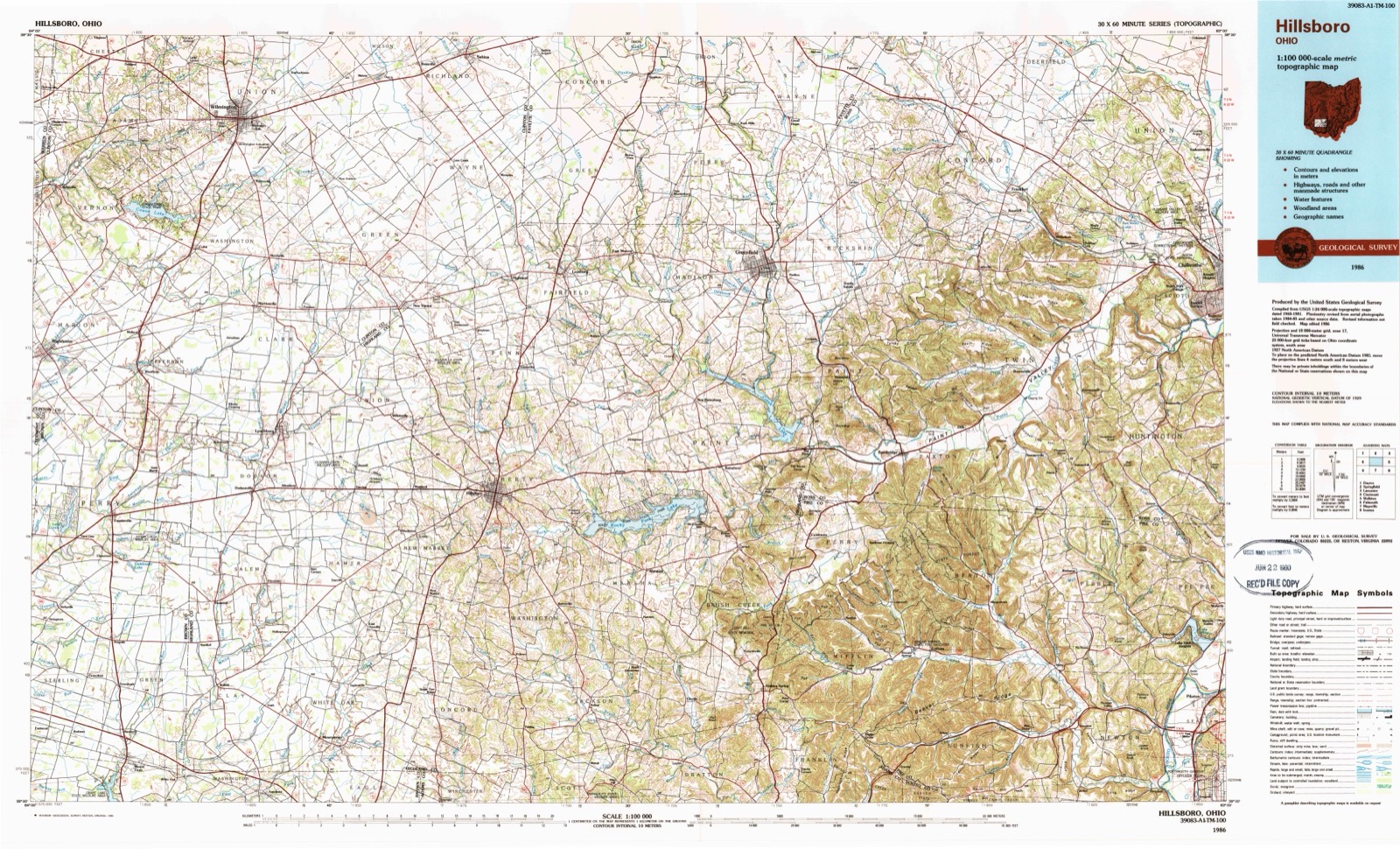
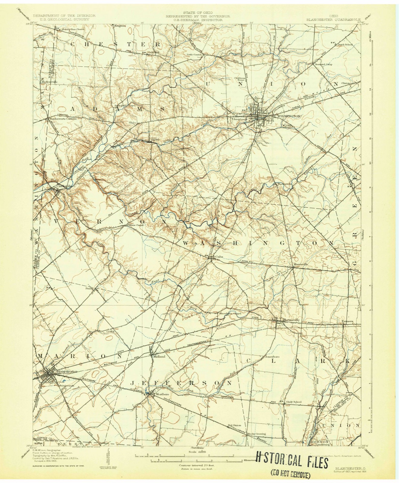
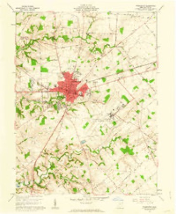
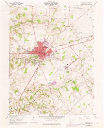
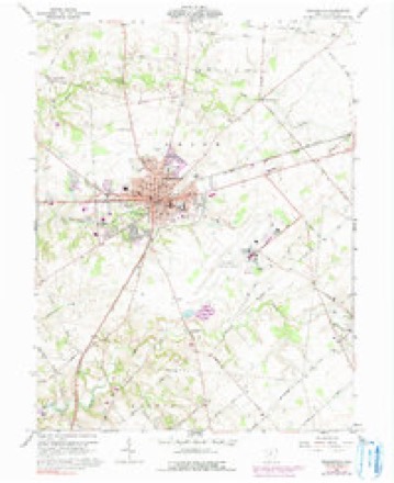
Topographic sheets covering this place
14 sheetsMatched by testing this settlement's coordinate against the published boundary of every sheet in the United States Geological Survey's historical collection. Each opens the scanned sheet at the Survey.
- 1907 USGS Blanchester quadrangle1:62500
- 1907 USGS Blanchester quadrangle1:62500
- 1907 USGS Blanchester quadrangle1:62500
- 1947 USGS Columbus quadrangle1:250000
- 1961 USGS Columbus quadrangle1:250000
- 1961 USGS Wilmington quadrangle1:24000
- 1961 USGS Wilmington quadrangle1:24000
- 1961 USGS Wilmington quadrangle1:24000
- 1961 USGS Wilmington quadrangle1:24000
- 1962 USGS Columbus quadrangle1:250000
- 1967 USGS Columbus quadrangle1:250000
- 1967 USGS Columbus quadrangle1:250000
- 1986 USGS Hillsboro quadrangle1:100000
- 1986 USGS Hillsboro quadrangle1:100000





In the county-history sources
7,216 words on this townshipHistory of Clinton County Ohio, published 1915 names this settlement in its chapter on Union Township. These are the passages that mention it, exactly as the scans read.
East from Wilmington to the township line, the land is level. but the southeast portion of the township is somewhat undulating. Following the source of Cowan's creek southwest from Burtonville, the Jand is rough and broken. Between Cowan's creek and Wilmington, the land is more level, but along Todd's fork. north and west of Wilmington, it is undulating and well-drained. For the most part, the soil of the township is a dark loam, extending to some depth, and is particularly adapted to the culture of grain and grasses. Along Cowan's and Lytle's creeks, the soil is of a mixture of dark and yellow loam and is especially good for wheat. Along Todd's fork the soil is a mixture of loam and clay, and the bottom lands, although small, are very valuable on aceount of the richness of the soil.
Passage source: History of Clinton County Ohio, published 1915.
One of the very earliest pioneers of Clinton county was Timothy Bennett, who came to the Northwest territory in 1800 and, in the middle of March, 1801, settled one and one-half miles east of where Wilmington now stands. He was born in New Jersey, near Philadelphia, on January 27, 1765, and little is known of his early history except that he was reared on a farm. After reaching maturity, he moved to Westmoreland county, Pennsylvania, where he was married. in 1789, to Elizabeth Hoblitt. the daughter of Michael Hoblitt, a native of Germany and the ancestors of the Hoblitts of Clinton and Greene counties. In the fall of 1789. Mr. Bennett. in company with his wife's father and family, went down the Ohio river to Limestone, now Maysville, Kentucky. Although the Indians were exceedingly troublesome at that time, the party managed to land in safety. After exploring the country in various directions. they finally located at a point near the present town of Versailles, in Woodford county. and here Mr. Bennett lived for ten years. In the fall of 1790, Mr. Bennett joined the expedition of General Harmar. which rendezyvoused at Cincinnati, then a small village. whence they marched north to old Chillicothe. Mr. Bennett was honorably discharged near this point and sent home, having become too lame to travel on account of a cancer on his leg.
Passage source: History of Clinton County Ohio, published 1915.
Jesse Hughes, Sr., a native of Berkeley county. Virginia, was one of the first associate judges of Clinton county. At an early age, he was brought to Chester county, Pennsylyania, by his parents and, in 1784, came with his uncle to Jefferson county, Kentucky, being seventeen years old at the time. He was one of the colony which made the first settlement on the present site of Louisville. which was then called Hughes Station. Jesse Hughes was a soldier and served under Gen. George Rogers Clark in 1786 against the Indians. He came to Clinton county in March, 1805, and settled two miles southeast of Wilmington. At the organization of Clinton county, in 1810, Mr. Hughes was elected one of the three associate judges and held this office for twenty-eight conneeutive years. The first term of court was held in his barn. He was married. in 1790 in Kentucky, to Elizabeth Drake and to them were born nine children, David, Delilah, Jesse, Jr.. Catherine, Jemima, Elizabeth, Charles D|. Mary and Morgan. After the death of his wife, Elizabeth, Judge Hughes was married again, his second wife surviving him.
Passage source: History of Clinton County Ohio, published 1915.
Machine-read from a century-old scan, so expect the errors a machine makes: misspelled names, dropped words, stray characters.
Read the whole chapter on Union Township - it names this place 10 more 10 times.
Photographs
1 photograph,Taken for the Office of War Information and the Farm Security Administration, who photographed the country between 1935 and 1944. Works of United States government photographers, with no known restriction on use. Each opens its catalogue record.
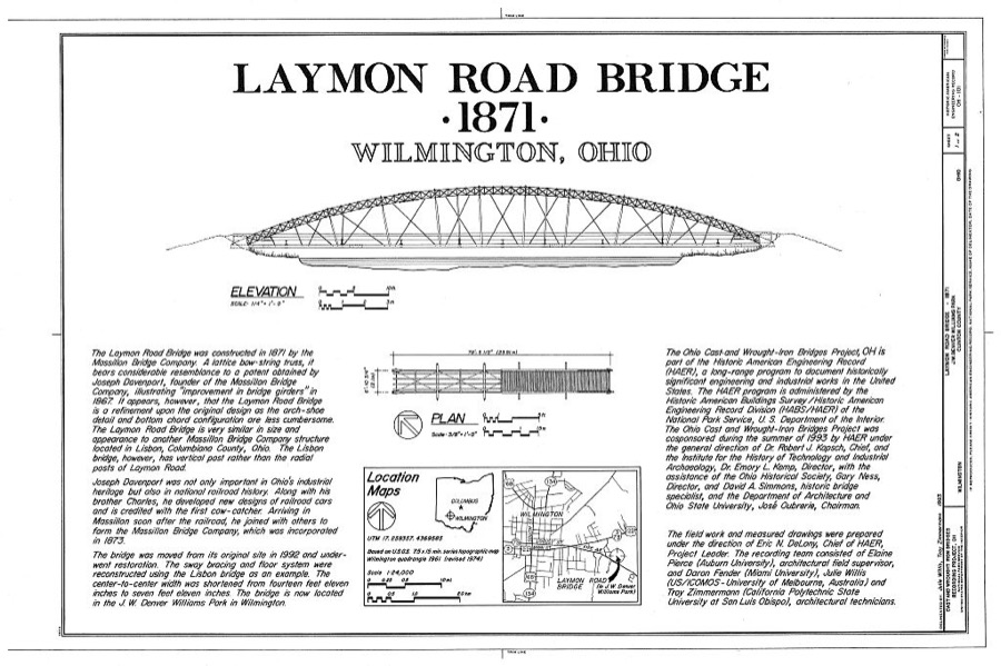
Unattributed, . Library of Congress
Specimens collected near this place
12 of 496 shownRegional context, not property-specific evidence. Museums hold 496 specimens collected within 10 miles of Wilmington between 1892 and 1974: 427 Animalia, 55 Fungi, 11 Plantae, 3 Unrecorded. 12 distinct Species records are shown. Collected by A. R. Gaufin, A.R. Gaufin, H.H. Ross, Allen, A. (Avery) and others. Each is a physical object with a catalogue number, and each entry opens the museum's record. This is what was collected and kept, not a survey of what lives here - nothing can be concluded from a species being absent.
| Image | Species | Year | Collected by | Where, as recorded |
|---|---|---|---|---|
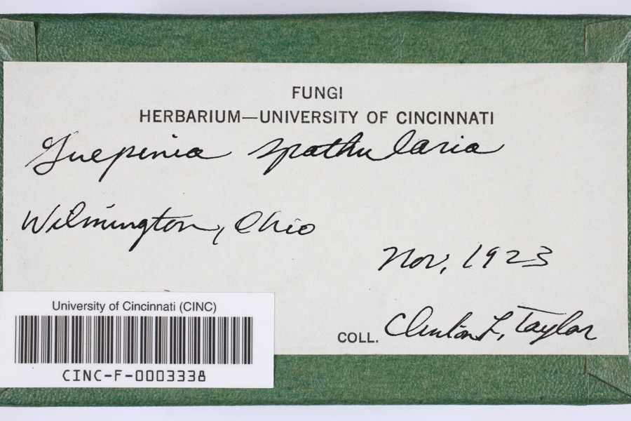 | Guepinia spathularia (Schwein.) Fr. | 1923 | Taylor, C.L. | Wilmington |
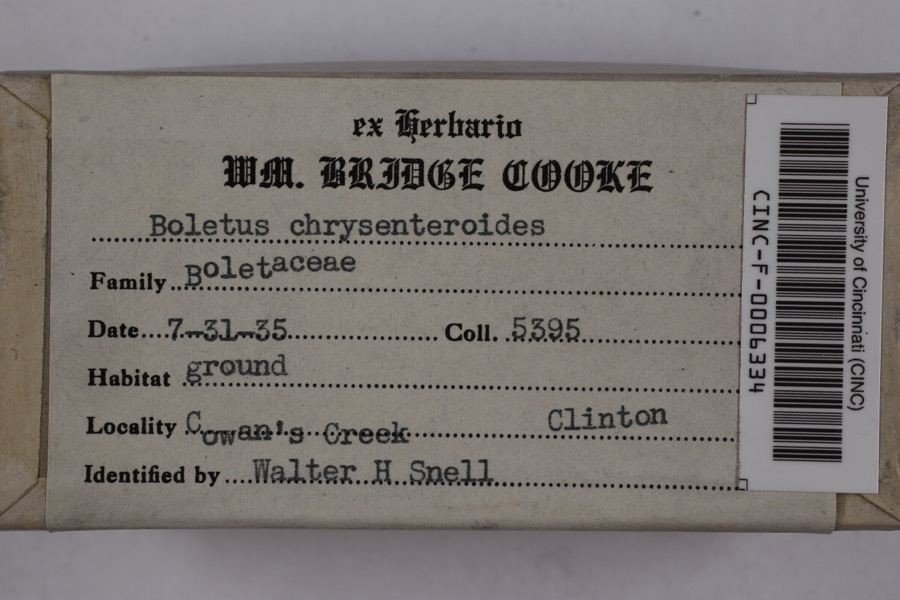 | Boletellus chrysenteroides (Snell) Snell | 1935 | Cooke, William Bridge | Cowan's Creek |
 | Boletus bicolor Raddi | 1935 | Cooke, William Bridge | Cowan's Creek |
 | Desmodium pauciflorum (Nutt.) DC. | 1892 | J. S. Vanderwort | New Antioch |
 | Pseudosuccinea columella (Say, 1817) | 1911 | not recorded | Clinton, North America |
 | Claviceps purpurea (Fr.) Tul. | 1919 | Lewis H. L. | Wilmington |
 | Corydalus cornutus (Linnaeus, 1758) | 1920 | E. C. Stinson | Harveysburg |
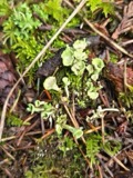 | Cladonia fimbriata (L.) Fr. | 1923 | Taylor, C.J. | Wilmington |
 | Parmelia Acharius, 1803 | 1924 | Taylor, L. | Wilmington |
 | Peltigera praetextata (Flörke ex Sommerf.) Zopf | 1924 | Taylor, C.L. | Wilmington |
 | Etheostoma variatum Kirtland, 1840 | 1926 | Wickliff, E. L. (Edward L.) | Todd Fork, near present day US 68 estimated based off Fishes of Ohio map |
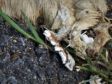 | Mustela frenata Lichtenstein, 1831 | 1927 | Hazard, F. O. | Reesville, Clinton Co., Ohio, USA |
All 496 specimens within 10 miles, at the Global Biodiversity Information Facility.
Storms near this place
60 of 112 shownRegional context, not property-specific evidence. The National Weather Service names Wilmington in 112 storm reports between 1994 and 2025: 69 thunderstorm wind, 30 hail, 4 tornado, 4 flood. No death or injury is recorded in these reports. Each account below is quoted exactly as the forecast office filed it, from the NOAA Storm Events Database, and each date opens the federal record of that event.
| When | Event | Place named | Harm | What the report says |
|---|---|---|---|---|
| March 2019 | Thunderstorm Wind | Wilmington | $100,000 | Multiple power poles and power lines were downed across the county. Several barns were also damaged throughout the county. |
| May 1998 | Hail | Wilmington | $100,000 | Hail as large as baseballs occurred around Wilmington. Extensive damage occurred ranging from broken car windows to 4 airplanes at Airborne Express, which is located at the Wilmington Airport. |
| June 1996 | Lightning | Wilmington | $100,000 | no account filed |
| May 2002 | Tornado (F0) | Wilmington | $50,000 | A weak tornado touched down just west of the Interstate 71/US Route 68 interchange, skipping across the interstate for a few minutes before lifting back into the clouds. Minor structural damage occurred at the exit to the Bush RV Center and at the Ramada Plaza Hotel. Several cars parked in the Ramada lot had windows blown out. |
| May 1996 | Lightning | Wilmington | $50,000 | no account filed |
| October 2001 | Thunderstorm Wind | Wilmington | $40,000 | A measured 69 mph gust occurred at the Wilmington National Weather Service office. Strong winds tore a roof off of a house in Sabina. The roofs of two houses were torn off in the vicinity of route 730 southwest of Wilmington. Trees were blown down in the Blanchester area. The Wilmington ASOS recorded a 58 mph gust. |
| October 2010 | Thunderstorm Wind | Wilmington | $35,000 | One barn was destroyed and another barn was damaged due to thunderstorm winds. Trees were also reported down due to damaging thunderstorm winds. |
| October 2010 | Thunderstorm Wind | Wilmington | $30,000 | Severe barn damage occurred along Ireland Road. Trees were also reported down along Ireland and Cuba Roads due to damaging thunderstorm winds. |
| May 2007 | Thunderstorm Wind | Wilmington | $30,000 | A metal shed was severely damaged near the intersection of State Route 134 and Dover Road. The Wilmington High School auditorium sustained roof damage. The tops of three trees were snapped off in town. |
| June 2002 | Thunderstorm Wind | Wilmington | $25,000 | A barn was demolished on State Route 350 between Farmers Road and State Route 73. |
| May 2009 | Hail | Wilmington | $20,000 | Hail up to quarter size fell for an extended period and collected in piles. |
| July 2002 | Thunderstorm Wind | Wilmington | $20,000 | A number of trees were downed along State Route 134. Several boats were overturned on Cowan Lake. |
| May 1998 | Tornado (F1) | Wilmington | $20,000 | A tornado briefly touched down just west of State route 380. Many trees were downed, some of which fell on top of a house causing significant damage. |
| May 2002 | Thunderstorm Wind | Wilmington | $15,000 | A few trees were downed. Several homes had siding peeled from the structure. |
| May 2001 | Thunderstorm Wind | Wilmington | $15,000 | Numerous trees downed in the ? country club. Three-quarter inch diameter hail also fell in Sabina. |
| April 2025 | Thunderstorm Wind | Wilmington | $10,000 | A barn collapsed. |
| November 2013 | Thunderstorm Wind | Wilmington | $10,000 | Roofing materials were blown off of two buildings due to thunderstorm winds. |
| July 2011 | Thunderstorm Wind | Wilmington | $10,000 | Siding was reported torn off of a garage. A trailer and a flag pole were damaged. These occurrences were due to damaging thunderstorm winds. |
| November 1998 | Thunderstorm Wind | Wilmington | $10,000 | The roof was blown off a barn and winds gusted to 58 mph at the National Weather Service office. |
| April 2002 | Hail | Wilmington | $10,000 | no account filed |
| May 2007 | Thunderstorm Wind | Wilmington | $8,000 | A building sustained minor structural damage along New Oglesbee Road. A fence was bent and tree limbs were downed in the vicinity of the building as well. |
| June 2021 | Thunderstorm Wind | Wilmington | $7,000 | Several trees and large branches were downed along Orchard Drive. |
| July 2024 | Thunderstorm Wind | Wilmington | $6,000 | Several large trees were downed in the Wilmington area. |
| April 2006 | Thunderstorm Wind | Wilmington | $6,000 | Windows were blown out of stores along Rombach Avenue. The Walmart Center on the east side of town sustained some structural damage. Six power poles were also downed along US Route 68. |
| April 2006 | Thunderstorm Wind | Wilmington | $6,000 | A large tree fell on a car, causing extensive damage to the vehicle. |
| June 2001 | Thunderstorm Wind | Wilmington | $6,000 | Trees and limbs down with a roof reported blown off of a greenhouse |
| May 2025 | Thunderstorm Wind | Wilmington | $5,000 | Several trees were downed and several other trees had large branches downed. A nearby home had roofing ductwork blown off. |
| June 2022 | Thunderstorm Wind | Wilmington | $5,000 | Several large trees were downed. |
| October 2010 | Thunderstorm Wind | Wilmington | $5,000 | A chicken coop was blown 35 yards away due to damaging thunderstorm winds. A few trees were also reported down due to the winds. |
| May 2004 | Thunderstorm Wind | Wilmington | $5,000 | Ten power poles were snapped along State Route 73 just east of Interstate 71. 0.88 inch hail also occurred with the storm. |
| May 2001 | Tornado (F0) | Wilmington | $5,000 | A brief tornado touchdown was observed by air traffic controller at Wilmington Airport |
| April 2000 | Thunderstorm Wind | Wilmington | $5,000 | Trees were knocked down at the intersection of Highway 68 and West Walker Road. |
| July 2000 | Flash Flood | Wilmington | $5,000 | Three inches of rain in just a few hours caused flooding across State Route 134 at Brown Road. A few creeks exceeded their banks. |
| July 1999 | Thunderstorm Wind | Wilmington | $5,000 | Trees were knocked down across Highway 68 north of Wilmington. |
| July 1994 | Thunderstorm Wind | Wilmington | $5,000 | Trees were downed, some on power lines. |
| May 2009 | Hail | Wilmington | $5,000 | no account filed |
| July 1996 | Thunderstorm Wind | Wilmington | $5,000 | no account filed |
| August 2020 | Thunderstorm Wind | Wilmington | $4,000 | A tree was knocked down onto a house and power lines. |
| May 2005 | Hail | Wilmington | $4,000 | A car sustained minor damage from the hail. |
| May 1999 | Thunderstorm Wind | Wilmington | $4,000 | Four light poles on a baseball field were blown down. |
| November 2020 | Thunderstorm Wind | Wilmington | $3,000 | A large tree was downed onto a church pavilion. |
| August 2020 | Thunderstorm Wind | Wilmington | $3,000 | A tree was knocked down onto a car. |
| November 2013 | Thunderstorm Wind | Wilmington | $3,000 | Five trees were downed due to thunderstorm winds. |
| June 2012 | Thunderstorm Wind | Wilmington | $3,000 | Trees were reported down due to damaging thunderstorm winds. |
| February 2008 | Thunderstorm Wind | Wilmington | $3,000 | Two trees were knocked down along Antioch and Murphy Roads. |
| June 2005 | Thunderstorm Wind | Wilmington | $3,000 | Several trees were downed. |
| April 2003 | Thunderstorm Wind | Wilmington | $3,000 | A few trees and a power pole were downed along Jenkins Road. |
| June 2001 | Thunderstorm Wind | Wilmington | $3,000 | Thunderstorms produced a wind gust to 59 mph at the National Weather Service office. Trees and a power pole were also knocked down. |
| June 2001 | Flash Flood | Wilmington | $3,000 | High water on Gurneyville Road |
| May 1995 | Thunderstorm Wind | Wilmington | $3,000 | Several trees downed. |
| May 2009 | Hail | Wilmington | $3,000 | no account filed |
| February 2002 | Hail | Wilmington | $3,000 | no account filed |
| July 2015 | Thunderstorm Wind | Wilmington | $2,000 | A few trees were downed near Quaker Way and Fife Avenue. |
| July 2015 | Thunderstorm Wind | Wilmington | $2,000 | Several large trees were downed near Blackthorne Court. |
| August 2003 | Thunderstorm Wind | Wilmington | $2,000 | Two large limbs were downed. |
| June 2000 | Thunderstorm Wind | Wilmington | $2,000 | Power lines were downed on route 68 south of Wilmington. A large tree blocked the intersection of Fife and Ludovic. |
| May 2025 | Thunderstorm Wind | Wilmington | $1,250 | A large healthy tree was downed. Other nearby trees had multiple limbs downed. |
| June 2021 | Thunderstorm Wind | Wilmington | $1,000 | A tree was downed at a property on U.S. Route 22 near Nelson Avenue. |
| May 2020 | Thunderstorm Wind | Wilmington | $1,000 | A large tree was snapped in half along Main Street by Clinton Memorial Hospital. |
| August 2020 | Thunderstorm Wind | Wilmington | $1,000 | A tree was blown down into the road. |
Nearest settlements
The eight closest, with where each one stands in the county. Distances are straight-line, computed from the Geographic Names Information System coordinates.
| Map | Place | Distance | Sheets |
|---|---|---|---|
| Town And Country Estates | 1.2 miles | 14 | |
| Burtonville | 2.9 miles | 14 | |
| Starbucktown | 3.1 miles | 14 | |
| Little Center | 3.4 miles | 14 | |
| Clinton | 4.3 miles | 14 | |
| Ogden | 4.5 miles | 13 | |
| Sligo | 4.9 miles | 13 | |
| New Antioch | 5.1 miles | 11 |
Elsewhere
Matched on this settlement's Geographic Names Information System number rather than its name, so it cannot be a different place of the same name in another state.
| Wikipedia article on Wilmington | An encyclopaedic summary. Its text is share-alike, so it is linked here rather than copied. |
| Wikidata item Q949651 | The structured record the population and elevation above come from. Public domain (CC0). |
Provenance
This settlement is recorded in the Geographic Names Information System as feature 1061792. The sheet list is computed by point-in-boundary test against the United States Geological Survey's historical topographic inventory. Both are works of the United States government and carry no copyright under 17 U.S.C. 105.
Specimens. Global Biodiversity Information Facility (GBIF), https://www.gbif.org/. Only records licensed CC0 or CC BY are used. Records licensed CC BY-NC are excluded because this site carries advertising. Images are checked individually and any whose licence is non-commercial, no-derivatives or unreadable is refused.
Storms. NOAA National Centers for Environmental Information, Storm Events Database https://www.ncei.noaa.gov/stormevents/ A work of the United States government, no copyright under 17 U.S.C. 105. Narratives are quoted verbatim from the National Weather Service report and are not edited or summarised.