 Block
Block
Canfield, Ohio
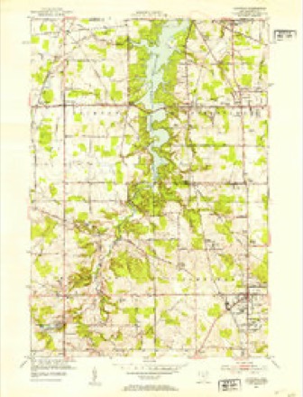
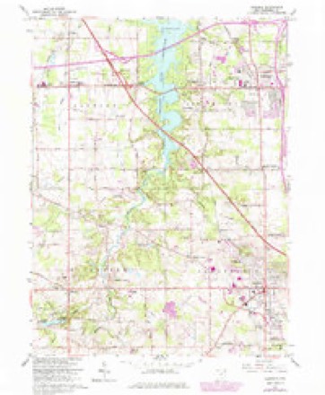
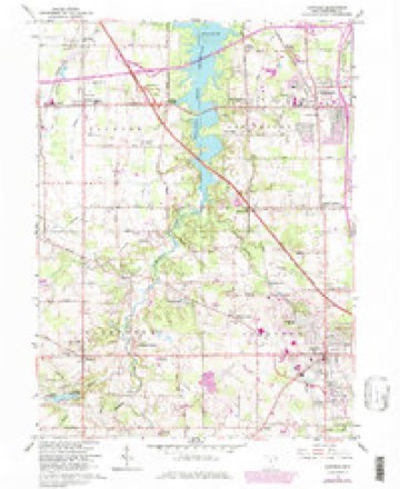
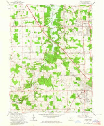
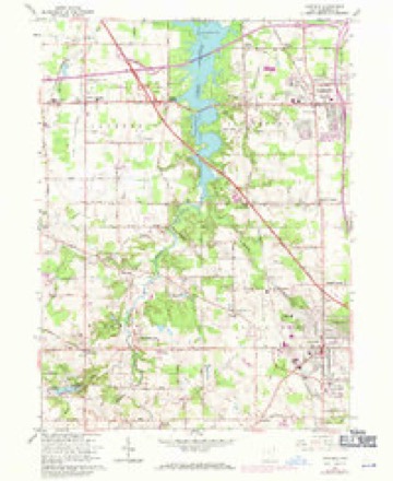
13 topographic sheets cover this place, the earliest surveyed in 1908 and the latest in 1986. It stands in Canfield Township. It lies in ZIP code area 44406. The Survey maps it on the Canfield quadrangle. 7,699 people lived here at the 2020 count. It stands 1,145 feet above sea level.
Population over time
2 figuresCanfield grew from 7,515 to 7,699 between 2010 and 2020. These are the recorded population figures Wikidata holds for this place, reached through the Geographic Names Information System number this page is keyed on rather than by name, so they belong to this place and not to another of the same name. Most are census counts, but not all are: an early figure may be a founding or settlement estimate. The change column is computed, and is left blank where more than 20 years separate a figure from the one before it, because a gap that long is not a change between two counts.
| Year | People | Change |
|---|---|---|
| 2010 | 7,515 | |
| 2020 | 7,699 | +184 (+2%) |
Then and now
1908 to 1986The same ground, surveyed 78 years apart. Drag the handle to wipe between them. Both sheets are United States Geological Survey originals; neither has been altered.
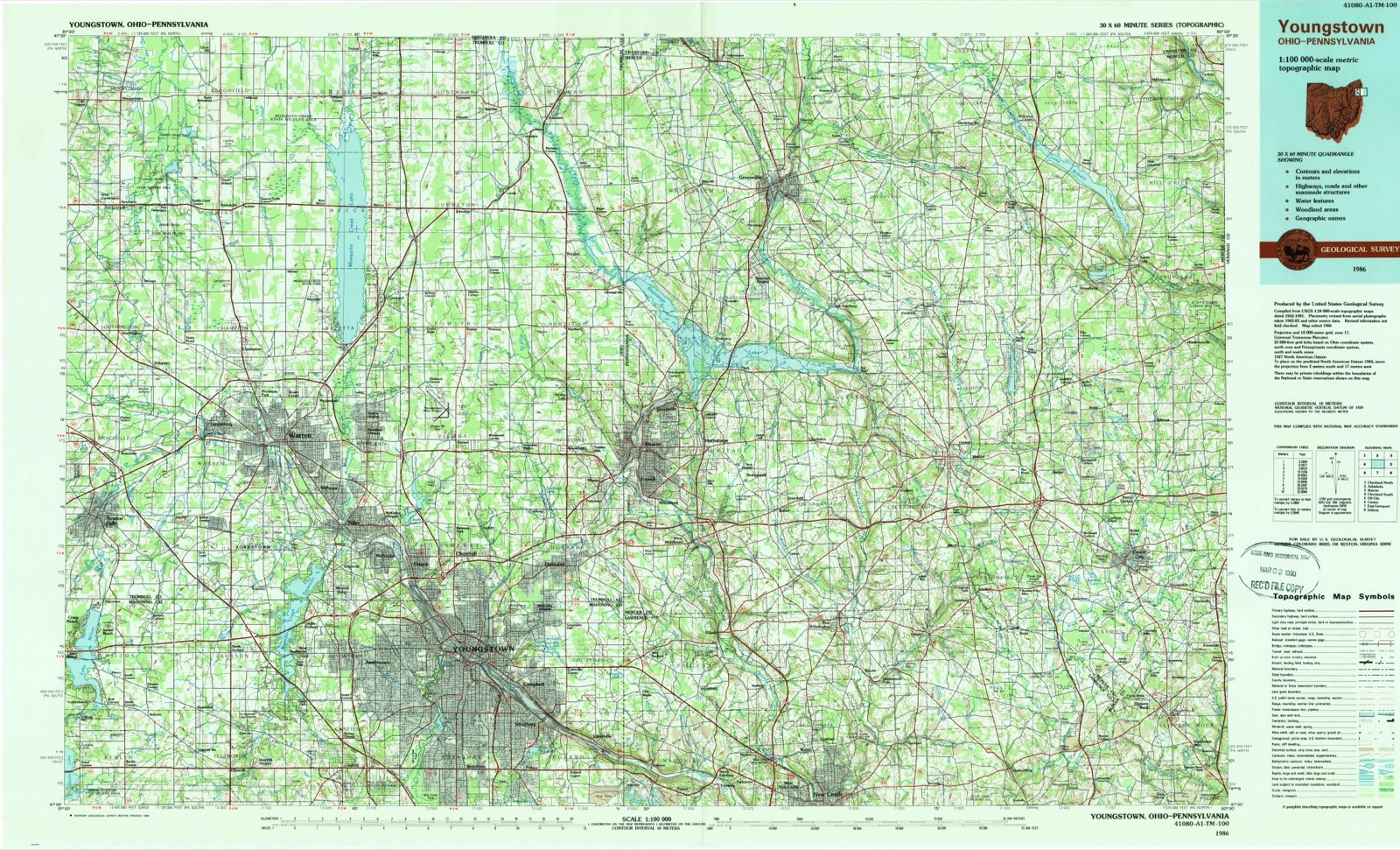
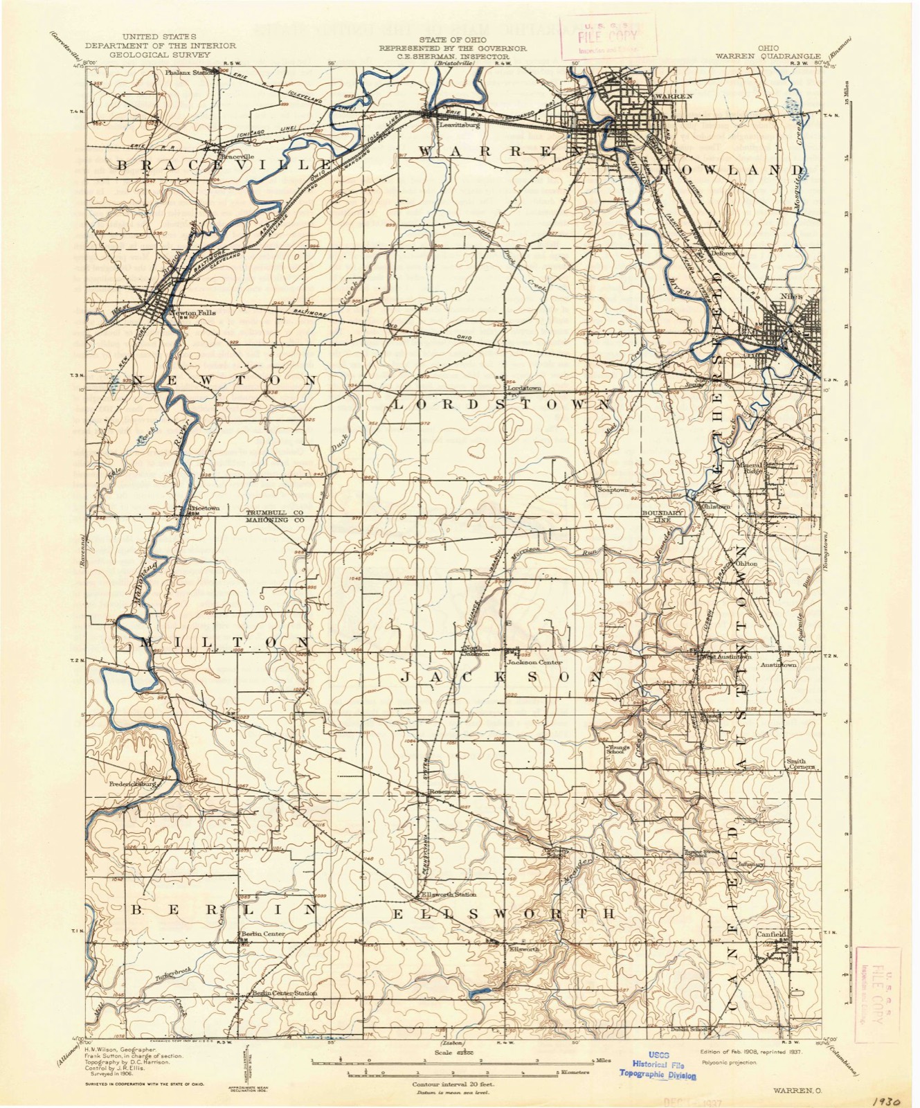
Topographic sheets covering this place
13 sheetsMatched by testing this settlement's coordinate against the published boundary of every sheet in the United States Geological Survey's historical collection. Each opens the scanned sheet at the Survey.
- 1908 USGS Warren quadrangle1:62500
- 1908 USGS Warren quadrangle1:62500
- 1952 USGS Canfield quadrangle1:24000
- 1956 USGS Cleveland quadrangle1:250000
- 1956 USGS Cleveland quadrangle1:250000
- 1956 USGS Cleveland quadrangle1:250000
- 1962 USGS Cleveland quadrangle1:250000
- 1963 USGS Canfield quadrangle1:24000
- 1963 USGS Canfield quadrangle1:24000
- 1963 USGS Canfield quadrangle1:24000
- 1963 USGS Canfield quadrangle1:24000
- 1986 USGS Youngstown quadrangle1:100000
- 1986 USGS Youngstown quadrangle1:100000




Fires nearby
1 since 2019The federal wildfire occurrence database lists 1 fire within 5 miles of Canfield between 2019 and 2019, burning about 0 acres in total. None started naturally. None was recorded as arson. Distance is straight-line from the map coordinates, so a fire counted here may appear on a neighbouring settlement's page as well.
| Reported cause | Fires |
|---|---|
| Recreation and ceremony | 1 |
The most recent of them, most recent first, with the day each was reported and the service that recorded it.
| Date | Cause | Size | Reported by | Name on the report |
|---|---|---|---|---|
| 19 May 2019 | Recreation and ceremony | under an acre | Ohio Department of Natural Resources | 15195 |
Settlements close enough to share some of these fires:
Specimens collected nearby
12 of 484 shownMuseums hold 484 specimens collected within 10 miles of Canfield between 1853 and 1974: 295 Animalia, 167 Plantae, 21 Fungi, 1 Chromista. 12 distinct Species records are shown. Collected by ?, A.E. Daugherty, Anderson, B. and others. Each is a physical object with a catalogue number, and each entry opens the museum's record. This is what was collected and kept, not a survey of what lives here - nothing can be concluded from a species being absent.
| Image | Species | Year | Collected by | Where, as recorded |
|---|---|---|---|---|
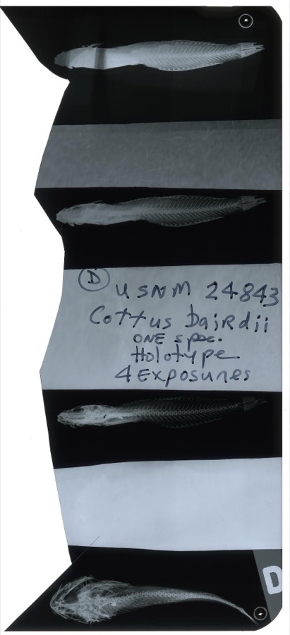 | Cottus bairdii Girard, 1850 | 1853 | S. Baird | Yellow Creek, Poland Ohio. |
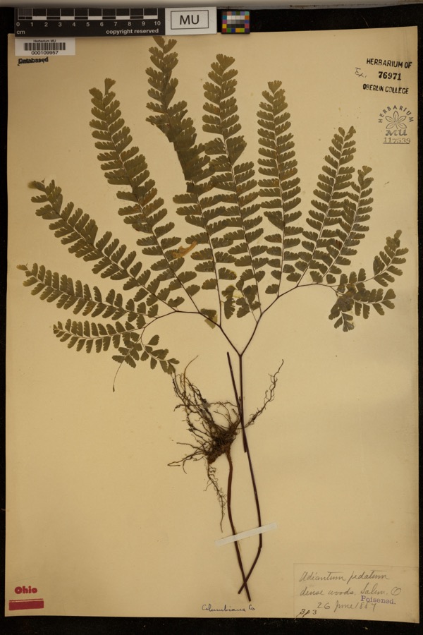 | Adiantum pedatum L. | 1887 | ? | Dense woods, Salem. |
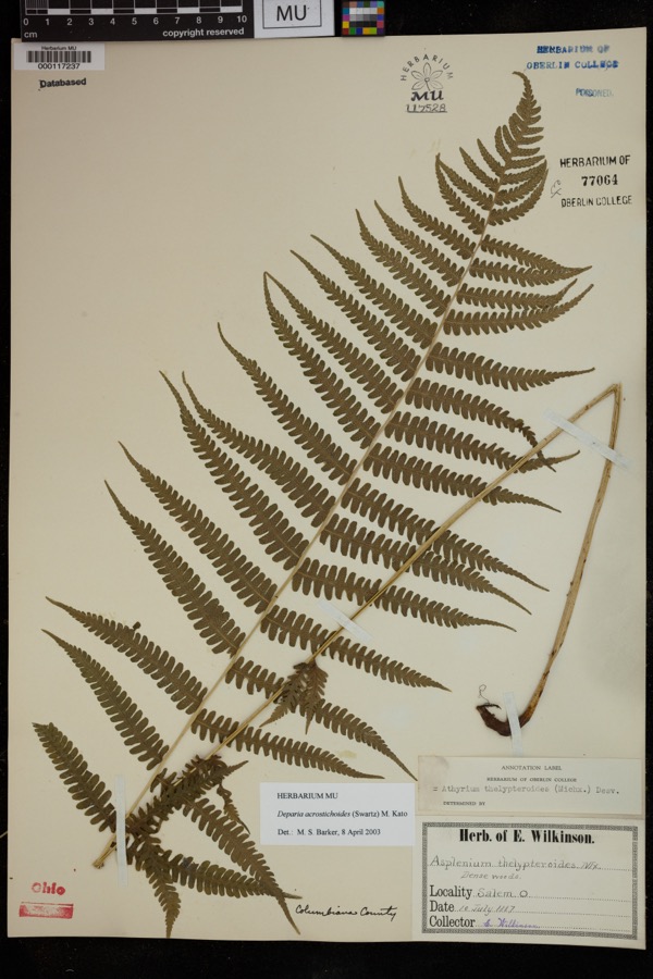 | Deparia acrostichoides (Sw.) M.Kato | 1887 | Wilkinson, E. | Salem |
 | Ameiurus melas (Rafinesque, 1820) | 1853 | S. Baird | Yellow Creek Poland, Ohio |
 | Chrysemys picta (Schneider, 1783) | 1853 | not recorded | Poland, Yellow Creek |
 | Ericymba buccata Cope, 1865 | 1853 | S. Baird | Yellow Creek, Poland, Ohio |
 | Etheostoma caeruleum Storer, 1845 | 1853 | S. Baird | Yellow Creek Poland, Ohio |
 | Etheostoma camurum (Cope, 1870) | 1853 | S. Baird | Yellow Creek Poland, Ohio |
 | Etheostoma flabellare Rafinesque, 1819 | 1853 | C. Kirtland | Yellow Creek, Poland Ohio. |
 | Etheostoma maculatum Kirtland, 1840 | 1853 | S. Baird | Yellow Creek Poland, Ohio |
 | Etheostoma nigrum Rafinesque, 1820 | 1853 | S. Baird | Yellow Creek Poland, Ohio |
 | Etheostoma zonale (Cope, 1868) | 1853 | S. Baird | Yellow Creek Poland, Ohio |
All 484 specimens within 10 miles, at the Global Biodiversity Information Facility.
Mines and quarries nearby
2 within 5 milesThe federal mineral resources record lists 2 workings within 5 miles of Canfield: 1 past producer, 1 producer. 1 still produces. What was taken out: Clay, Clay, Coal. Distance is straight-line from the map coordinates, so a quarry counted here may appear on a neighbouring settlement's page as well.
Storms nearby
31 since 1993The National Weather Service names Canfield in 31 storm reports between 1993 and 2025: 19 thunderstorm wind, 12 hail. No death or injury is recorded in these reports. Each account below is quoted exactly as the forecast office filed it, from the NOAA Storm Events Database, and each date opens the federal record of that event.
| When | Event | Place named | Harm | What the report says |
|---|---|---|---|---|
| June 2015 | Thunderstorm Wind | Canfield | $250,000 | Thunderstorm downburst winds estimated at more than 60 mph caused a swath of damage from Canfield to Poland along the U.S. Highway 224. Dozens of trees, large limbs and utility poles were downed. Several thousand electric customers lost power during the storm, some for as many as 12 hours. |
| May 2012 | Thunderstorm Wind | Canfield | $200,000 | A thunderstorm downburst caused considerable damage in the Canfield and Boardman areas. Dozens of trees were downed along the U.S. Route 224 corridor. In Boardman, downed trees caused four roads to be closed and damaged three homes. |
| July 2003 | Thunderstorm Wind | Canfield | $100,000 | A line of severe thunderstorms moved across Mahoning County around daybreak and caused scattered power outages. Many trees were downed in Canfield and Youngstown. |
| June 2013 | Thunderstorm Wind | Canfield | $15,000 | The sheriff reported trees and powerlines down in Canfield. |
| July 2010 | Thunderstorm Wind | Canfield | $15,000 | Thunderstorm winds downed numerous large trees across the county. |
| July 2016 | Thunderstorm Wind | Canfield | $12,000 | Thunderstorm winds brought down a tree on Burgett Lane in Canfield. Trees were also reported down at Indianola and Glenwood Roads on the southwest side of Youngstown, one of which fell on a car. |
| May 2019 | Thunderstorm Wind | Canfield | $10,000 | A large tree fell on to a car. |
| May 2017 | Thunderstorm Wind | Canfield | $10,000 | A trained spotter estimated thunderstorm wind gusts at 70 mph. Several large trees were downed along Summit Drive and Raccoon Road. |
| June 2013 | Thunderstorm Wind | Canfield | $10,000 | Thunderstorm winds downed a few trees. |
| August 2000 | Thunderstorm Wind | Canfield | $10,000 | Thunderstorm winds downed two large trees near the intersection of State Route 46 and Highway 224. |
| July 2006 | Thunderstorm Wind | Canfield | $4,000 | Several trees were reported down. |
| July 2003 | Hail | Canfield | $2,000 | Nickel size hail was observed. |
| June 2006 | Thunderstorm Wind | Canfield | $1,000 | A few large limbs were reported down. |
| June 2025 | Thunderstorm Wind | Canfield | - | An anemometer in Canfield measured a peak straight-line convective wind gust of 61-mph from a thunderstorm. |
| May 2025 | Hail | Canfield | - | Hail up to half dollar-size in Canfield. |
| August 2024 | Thunderstorm Wind | Canfield | - | Large tree limb downed in Canfield. |
| August 2023 | Thunderstorm Wind | Canfield | - | Numerous trees downed in Canfield. |
| March 2020 | Hail | Canfield | - | Social media report of penny-size hail in Canfield. |
| June 2019 | Thunderstorm Wind | Canfield | - | There was moderate to severe tree damage on the east side of Canfield. There was a picture on social media of this storm report. |
| July 2016 | Thunderstorm Wind | Canfield | - | Law enforcement reported trees down blocking roads in Canfield. |
| June 2015 | Hail | Canfield | - | Hail the size of quarters was observed. |
| May 2014 | Hail | Canfield | - | Penny sized hail was observed. |
| May 2011 | Thunderstorm Wind | Canfield | - | Thunderstorm winds downed a few large tree limbs. |
| June 2008 | Hail | Canfield | - | Nickel size hail was observed. |
| April 2001 | Hail | Canfield | - | Dime size hail was reported. |
| April 2001 | Hail | Canfield | - | Dime size hail was reported. |
| September 1993 | Thunderstorm Wind | Canfield | - | Winds were estimated to 70 mph (61 knots) by the sheriff's department. |
| May 2019 | Hail | Canfield | - | no account filed |
| May 2019 | Hail | Canfield | - | no account filed |
| June 2008 | Hail | Canfield | - | no account filed |
| July 1995 | Hail | Canfield | - | no account filed |
Newspapers printed here
0 digitised pages1 paper published in this town, digitised by the Library of Congress and free to read: 0 issues, 0 pages. Every page is searchable, so a name or a street can be looked for directly in what the town printed about itself at the time.
| Newspaper | Published |
|---|---|
| The Mahoning Dispatch | 1877 to 1968 |
What the paper printed
4,742 wordsFront pages of the local paper, read from the Library of Congress scans: 3 issues spread across its run from 1908 to 1921, 4,742 words in total. Each is reproduced on its own page, exactly as the recogniser returned it.
These pages read less well than anything else here, and the number is worth stating: about three words in four come through cleanly, against nine in ten for the building records. An 1896 broadsheet sets eight-point type in seven columns on microfilm, which is the hardest thing in this archive to read by machine. We tested our own recognisers against the Library's and they were not better, so the Library's text is what appears, with the wholly unreadable columns removed. Read it as a guide to what the paper covered, and follow the link to the scan before quoting anything.
| Issue | Paper | Length |
|---|---|---|
| 1908-10-30 | The Mahoning Dispatch | 1,589 words |
| 1908-11-27 | The Mahoning Dispatch | 586 words |
| 1921-09-30 | The Mahoning Dispatch | 2,567 words |
Nearest settlements
The eight closest, with where each one stands in the county. Distances are straight-line, computed from the Geographic Names Information System coordinates.
| Map | Place | Distance | Sheets |
|---|---|---|---|
| Herbert Corners | 1.3 miles | 13 | |
| Lynns Corners | 1.7 miles | 16 | |
| Dublin | 2.0 miles | 13 | |
| Misner Corners | 2.1 miles | 13 | |
| Marquis | 2.6 miles | 16 | |
| Starrs Corners | 2.6 miles | 16 | |
| Toots Corners | 3.2 miles | 16 | |
| Camp Park | 3.5 miles | 13 |
Elsewhere
Matched on this settlement's Geographic Names Information System number rather than its name, so it cannot be a different place of the same name in another state.
| Wikipedia article on Canfield | An encyclopaedic summary. Its text is share-alike, so it is linked here rather than copied. |
| Wikidata item Q1924946 | The structured record the population and elevation above come from. Public domain (CC0). |
Provenance
This settlement is recorded in the Geographic Names Information System as feature 1038796. The sheet list is computed by point-in-boundary test against the United States Geological Survey's historical topographic inventory. Both are works of the United States government and carry no copyright under 17 U.S.C. 105.
Wildfire. Short, Karen C. 2022. Spatial wildfire occurrence data for the United States, 1992-2020 [FPA_FOD_20221014]. 6th Edition. Fort Collins, CO: Forest Service Research Data Archive. https://doi.org/10.2737/RDS-2013-0009.6 Collected with United States Government funding and usable without additional permissions or fees.
Specimens. Global Biodiversity Information Facility (GBIF), https://www.gbif.org/. Only records licensed CC0 or CC BY are used. Records licensed CC BY-NC are excluded because this site carries advertising. Images are checked individually and any whose licence is non-commercial, no-derivatives or unreadable is refused.
Mines and quarries. USGS Mineral Resources Data System (MRDS) https://mrdata.usgs.gov/mrds/ A work of the United States government, no copyright under 17 U.S.C. 105.
Storms. NOAA National Centers for Environmental Information, Storm Events Database https://www.ncei.noaa.gov/stormevents/ A work of the United States government, no copyright under 17 U.S.C. 105. Narratives are quoted verbatim from the National Weather Service report and are not edited or summarised.