Listed on the National Register of Historic Places in
1975. A historic map-sheet match is not published yet. The record needs a coordinate-quality review before it can be joined to a sheet boundary.
From the record
one of 59 National Register listings in Mahoning County · listed in 1975 · category: Building.
National Register reference number.75001480- the number the National Park Service assigned this property when it was listed, and the key its nomination file is catalogued under at the National Archives.
Fires near this property
1 since 2019
Regional context, not property-specific
evidence. The
federal wildfire occurrence database
lists 1 fire within 5 miles of Ruggles, Charles, House between
2019 and 2019, burning about 0 acres in total. None started naturally. None was recorded as arson.
Distance is straight-line from the map coordinates, so a fire counted
here may appear on a neighbouring settlement's page as well.
Reported cause
Fires
Recreation and ceremony
1
The most recent of
them, most recent first, with the day each was reported and the service
that recorded it.
Regional context, not property-specific
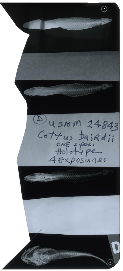
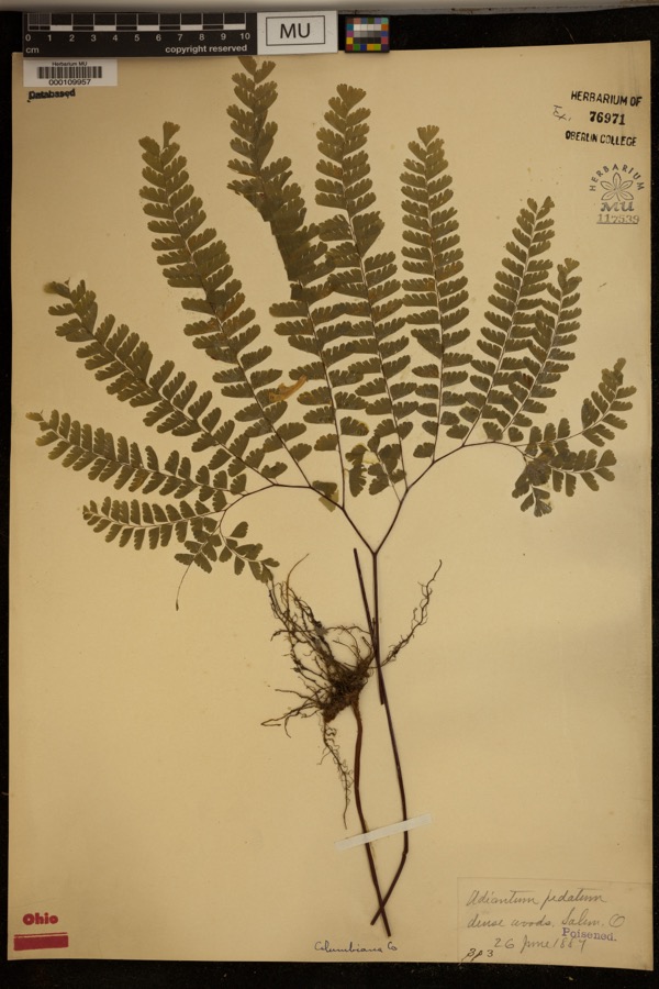
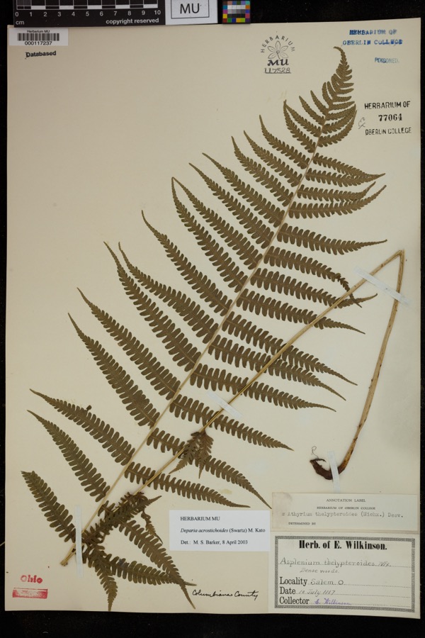
evidence. Museums hold 484 specimens
collected within 10 miles of Ruggles, Charles, House between 1853 and
1974: 295 Animalia, 167 Plantae, 21 Fungi, 1 Chromista. 12 distinct Species records are shown.
Collected by ?, A.E. Daugherty, Anderson, B. and others. Each is a
physical object with a catalogue
number, and each entry opens the museum's record. This is what was
collected and kept, not a survey of what lives here - nothing can be
concluded from a species being absent.
Regional context, not property-specific
evidence. The federal mineral resources record lists
2 workings within 5 miles of Ruggles, Charles, House: 1 past producer, 1 producer.
1 still produces. What was taken out: Clay, Clay, Coal. Distance is straight-line from the
map coordinates, so a quarry counted here may appear on a neighbouring
settlement's page as well.
Regional context, not property-specific
evidence. The National Weather Service names
Canfield, the town this property stands in, in 31 storm reports between 1993 and 2025: 19 thunderstorm wind, 12 hail.
No death or injury is recorded in these reports. Each account below is quoted exactly as the forecast office
filed it, from the NOAA Storm Events Database, and each date
opens the federal record of that event.
Thunderstorm downburst winds estimated at more than 60 mph caused a swath of damage from Canfield to Poland along the U.S. Highway 224. Dozens of trees, large limbs and utility poles were downed. Several thousand electric customers lost power during the storm, some for as many as 12 hours.
A thunderstorm downburst caused considerable damage in the Canfield and Boardman areas. Dozens of trees were downed along the U.S. Route 224 corridor. In Boardman, downed trees caused four roads to be closed and damaged three homes.
A line of severe thunderstorms moved across Mahoning County around daybreak and caused scattered power outages. Many trees were downed in Canfield and Youngstown.
Thunderstorm winds brought down a tree on Burgett Lane in Canfield. Trees were also reported down at Indianola and Glenwood Roads on the southwest side of Youngstown, one of which fell on a car.
1 paper published in this town,
digitised by the Library of Congress and free to read: 0 issues,
0 pages. Every page is searchable, so a name or a street can be
looked for directly in what the town printed about itself at the time.
No historic map-sheet match is published
for this property yet. That does not mean no map exists. This record needs
a coordinate-quality review before it can be joined to a sheet boundary.
Browse the county's mapped places while that work is
pending.
From the nomination file
1,338 words on record
When this property was proposed for the
National Register, someone wrote the case for it: what the building is,
and why it matters. That document is a federal record in the public domain.
It is quoted below word for word, never summarised. The text was read off the scanned case file by machine, so the
occasional stray character is the recogniser's and the 1970s
typewriter's.
Statement of significance
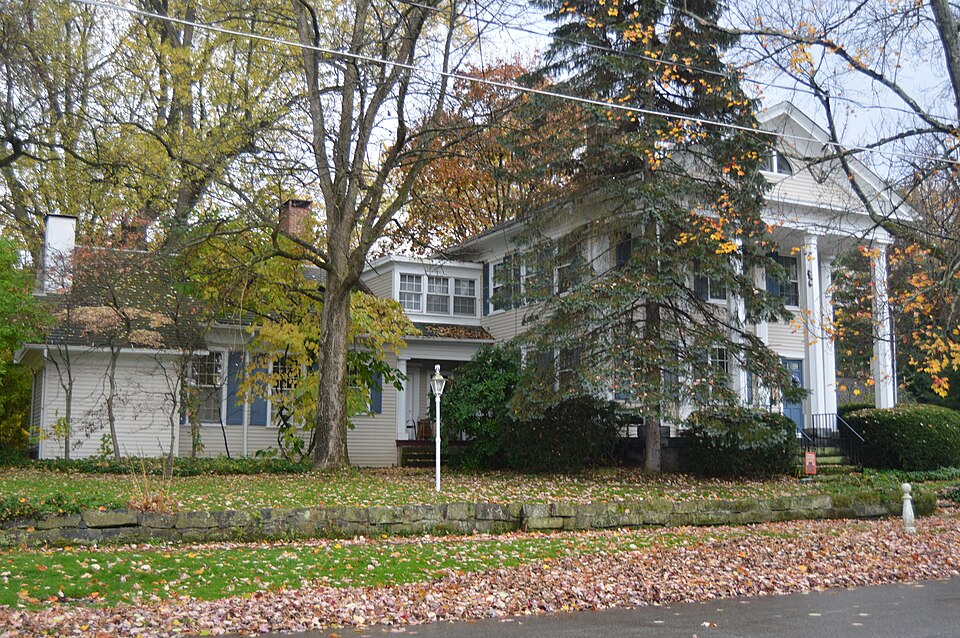
This house has a dual significance as the home of a moved to Youngstown. With the creation of the county, as .this house in 1847. The house has increased significance in occurs in the Sturgis house in Norwalk, Ohio, but the capitals JUN 2 o 1975 1846-1847 Commerce Engineering Aboriginal losophy NATIONAL REGISTER Transportation Science Military Theater Music itarian Prehistoric Social/Human- Agriculture Revival courthouse. flourish at Canfield and Youngstown, more especially at the Industry Invention Sculpture Landscape Ruggles house is an unusual and distinctive variation on the practicing lawyer in an early county seat and as an unusual Among the practicing lawyers.was Charles Ruggles, who built Education for its architecture.
Another example of the octagonal column variant of the Greek Revival idiom. But the Ruggles house is perhaps even more important Canfield from 1846 to 1876,when after bitter resistance it was conveying the early history of Canfield because of the decline Greek Revival style. Religion/Phi- of the village since the removal of the county seat, and also because it is immediately adjacent to the excellent Greek former town of course, since it was made the county seat. Political SPECIFIC DATE(S) (If Applicable and Known) AREAS OF SIGNIFICANCE (Check One or More as Appropriate) Joseph G. Butler observed, "the legal profession began to Art The county seat of the newly created Mahoning County was are different, and the coved cornices are very rare.Thus the Ohio (Chicago, 1921), 191, 208-209, 341.
Richard Campen, Architecture of the Western Reserve (Cleveland, 1971)
Quoted from the National Register nomination
for reference 75001480, 12 pages, held by the National Archives in Record
Group 79. See the
catalogue record.
Listed places nearby
6 within 8 miles
Other National Register properties close
enough to walk or drive between, ordered by distance from this one. Both
positions come from the same geocoding pass that matched these properties
to their map sheets.
Listing record. National Park Service National Register of Historic Places, listed-properties dataset, current to 2026-05-22.
Map join. Address geocoded through the United States Census geocoder, then tested against the published boundary of every sheet in the USGS Historical Topographic Map Collection.
How this page is made. Listing fields come from federal records; map-sheet coverage is a labelled coordinate-to-boundary calculation, not a source-field claim.
Wildfire. Short, Karen C. 2022. Spatial wildfire occurrence data for the United States, 1992-2020 [FPA_FOD_20221014]. 6th Edition. Fort Collins, CO: Forest Service Research Data Archive. https://doi.org/10.2737/RDS-2013-0009.6 Collected with United States Government funding and usable without additional permissions or fees.
Specimens. Global Biodiversity Information Facility (GBIF), https://www.gbif.org/. Only records licensed CC0 or CC BY are used. Records licensed CC BY-NC are excluded because this site carries advertising. Images are checked individually and any whose licence is non-commercial, no-derivatives or unreadable is refused.
Mines and quarries. USGS Mineral Resources Data System (MRDS) https://mrdata.usgs.gov/mrds/ A work of the United States government, no copyright under 17 U.S.C. 105.
Storms. NOAA National Centers for Environmental Information, Storm Events Database https://www.ncei.noaa.gov/stormevents/ A work of the United States government, no copyright under 17 U.S.C. 105. Narratives are quoted verbatim from the National Weather Service report and are not edited or summarised.
 Block
Block