 Block
Block
Cascade, Ohio
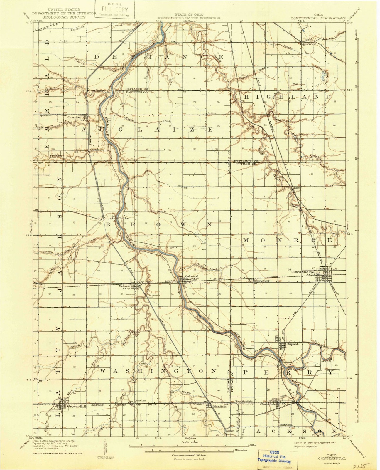
12 topographic sheets cover this place, the earliest surveyed in 1909 and the latest in 1986. It stands in Perry Township. It lies in ZIP code area 45827. It stands on Blanchard River. The Survey maps it on the Continental quadrangle.
Then and now
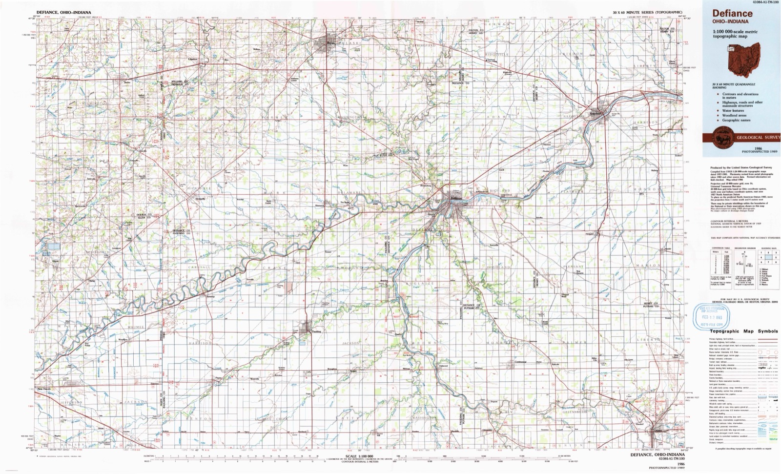
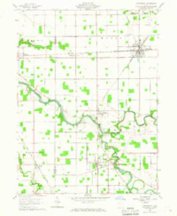
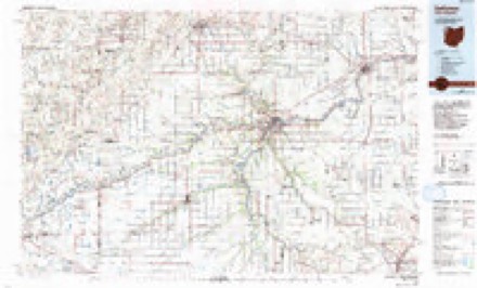
1909 to 1986The same ground, surveyed 77 years apart. Drag the handle to wipe between them. Both sheets are United States Geological Survey originals; neither has been altered.
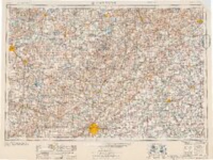
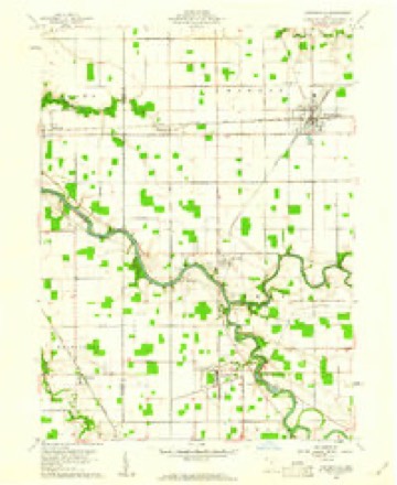
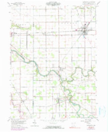
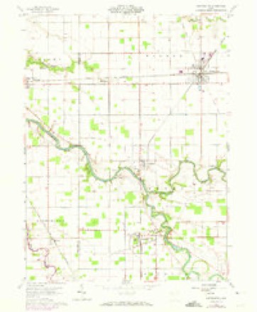
Topographic sheets covering this place
12 sheetsMatched by testing this settlement's coordinate against the published boundary of every sheet in the United States Geological Survey's historical collection. Each opens the scanned sheet at the Survey.
- 1909 USGS Continental quadrangle1:62500
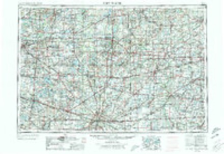
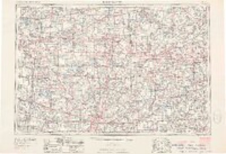
- 1953 USGS Fort Wayne quadrangle1:250000
- 1953 USGS Fort Wayne quadrangle1:250000
- 1953 USGS Fort Wayne quadrangle1:250000
- 1953 USGS Fort Wayne quadrangle1:250000
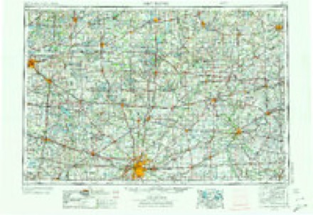
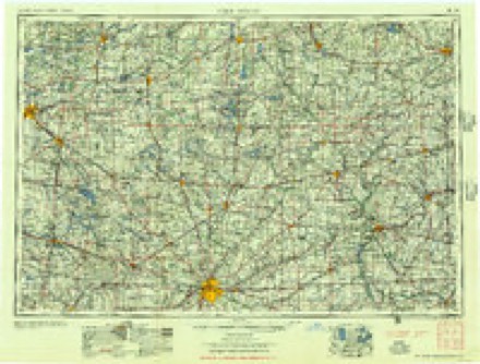
- 1956 USGS Fort Wayne quadrangle1:250000
- 1956 USGS Fort Wayne quadrangle1:250000
- 1960 USGS Continental quadrangle1:24000
- 1960 USGS Continental quadrangle1:24000
- 1960 USGS Continental quadrangle1:24000
- 1960 USGS Continental quadrangle1:24000
- 1986 USGS Defiance quadrangle1:100000
In the county-history sources
1,613 words on this townshipHistory of Putnam County, Ohio : Its Peoples, Industries, and Institutions, published 1915 names this settlement in its chapter on Perry Township. These are the passages that mention it, exactly as the scans read.
Franconia was the first town laid out in the township. It was laid out by Amos Kendall in 1837 and the first store was kept by Parlee Carlin. A double log cabin, which was featured by Howe as a "Home in the Wilderness," was erected by Sebastian Shroufe, and P. B. Holden later kept a tavern in the same building. While Franconia was a flourishing little center of trade for a number of years, it has long since disappeared and nothing now remains of what was once hoped would be a substantial town. Other towns in this township include Cloverdale (Drucilla), Dupont, Cascade and Huntstown.
Passage source: History of Putnam County, Ohio : Its Peoples, Industries, and Institutions, published 1915.
Machine-read from a century-old scan, so expect the errors a machine makes: misspelled names, dropped words, stray characters.
Read the whole chapter on Perry Township - it names this place 1 more 1 time.
Specimens collected near this place
12 of 115 shownRegional context, not property-specific evidence. Museums hold 115 specimens collected within 10 miles of Cascade between 1893 and 1969: 115 Animalia. 12 distinct Species records are shown. Collected by Adler, K. K., Blyth & Katz, Creamer, D. and others. Each is a physical object with a catalogue number, and each entry opens the museum's record. This is what was collected and kept, not a survey of what lives here - nothing can be concluded from a species being absent.
| Image | Species | Year | Collected by | Where, as recorded |
|---|---|---|---|---|
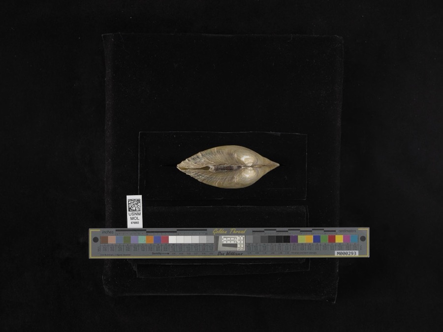 | Lampsilis ventricosa (Barnes, 1823) | 1893 | not recorded | Blanchard River |
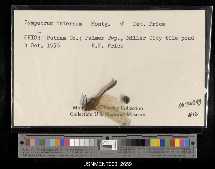 | Sympetrum internum Montgomery, 1943 | 1956 | H. Price | Palmer Township, Miller City tile pond |
 | Ambloplites rupestris (Rafinesque, 1817) | 1893 | P. Kirsch | Auglaize River, Oakwood, Ohio |
 | Cambarus rusticus Girard, 1852 | 1893 | P. Kirsch | Sugar Creek, Cloverdale |
 | Ericymba buccata Cope, 1865 | 1893 | P. Kirsch | Auglaize River, Oakwood, Ohio |
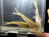 | Ictalurus punctatus (Rafinesque, 1818) | 1893 | P. Kirsch | Auglaize River, Oakwood, Ohio |
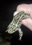 | Lithobates pipiens (Schreber, 1782) | 1893 | not recorded | Cloverdale, Auglaize River |
 | Notropis whipplei (Girard, 1856) | 1893 | P. Kirsch | Auglaize River, Oakwood, Ohio |
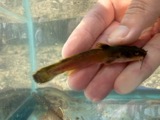 | Noturus flavus Rafinesque, 1818 | 1893 | P. Kirsch | Auglaize River, Cloverdale, Ohio |
 | Acris crepitans Baird, 1854 | 1930 | Walker, C. F. (Charles F.) | Sugar Cr. Twp: near Vaughnsville, Putnam Co., Ohio |
 | Rana clamitans Latreille, 1801 | 1930 | Walker, C. F. (Charles F.) | Sugar Creek Twp.: near Vaughnsville, Putnam Co., Ohio |
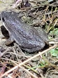 | Pseudacris triseriata (Wied-Neuwied, 1838) | 1931 | Walker, C. F. (Charles F.) | Ottawa Twp., Putnam Co., Ohio |
All 115 specimens within 10 miles, at the Global Biodiversity Information Facility.
Nearest settlements
The eight closest, with where each one stands in the county. Distances are straight-line, computed from the Geographic Names Information System coordinates.
| Map | Place | Distance | Sheets |
|---|---|---|---|
| Cloverdale | 0.8 miles | 12 | |
| Huntstown (historical) | 1.3 miles | 12 | |
| Franconia (historical) | 1.6 miles | 12 | |
| Dupont | 2.6 miles | 12 | |
| East Mandale | 2.8 miles | 12 | |
| Muntanna | 3.2 miles | 13 | |
| Dorninton | 3.8 miles | 11 | |
| Montana (historical) | 4.0 miles | 13 |
Provenance
This settlement is recorded in the Geographic Names Information System as feature 1075188. The sheet list is computed by point-in-boundary test against the United States Geological Survey's historical topographic inventory. Both are works of the United States government and carry no copyright under 17 U.S.C. 105.
Specimens. Global Biodiversity Information Facility (GBIF), https://www.gbif.org/. Only records licensed CC0 or CC BY are used. Records licensed CC BY-NC are excluded because this site carries advertising. Images are checked individually and any whose licence is non-commercial, no-derivatives or unreadable is refused.