 Block
Block
Cloverdale, Ohio
12 topographic sheets cover this place, the earliest surveyed in 1909 and the latest in 1986. It stands in Perry Township. It lies in ZIP code area 45827. It stands on Blanchard River. The Survey maps it on the Continental quadrangle. 170 people lived here at the 2020 count. It stands 719 feet above sea level.
Population over time
2 figuresCloverdale grew from 168 to 170 between 2010 and 2020. These are the recorded population figures Wikidata holds for this place, reached through the Geographic Names Information System number this page is keyed on rather than by name, so they belong to this place and not to another of the same name. Most are census counts, but not all are: an early figure may be a founding or settlement estimate. The change column is computed, and is left blank where more than 20 years separate a figure from the one before it, because a gap that long is not a change between two counts.
| Year | People | Change |
|---|---|---|
| 2010 | 168 | |
| 2020 | 170 | +2 (+1%) |
Then and now
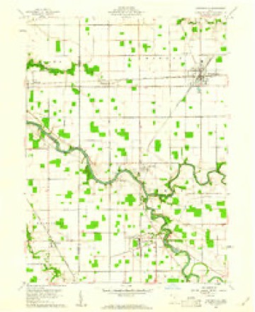
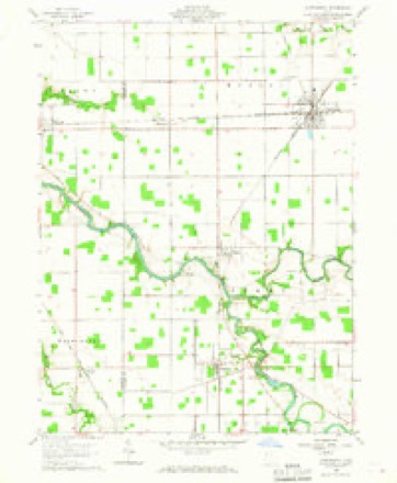
1909 to 1986The same ground, surveyed 77 years apart. Drag the handle to wipe between them. Both sheets are United States Geological Survey originals; neither has been altered.
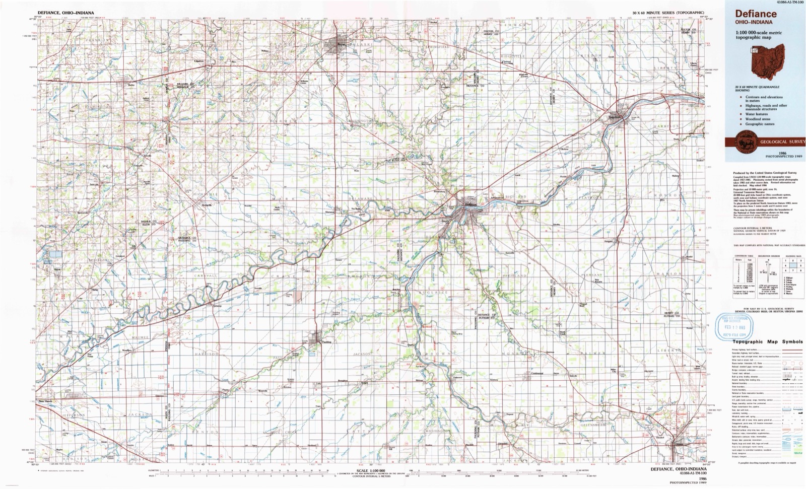
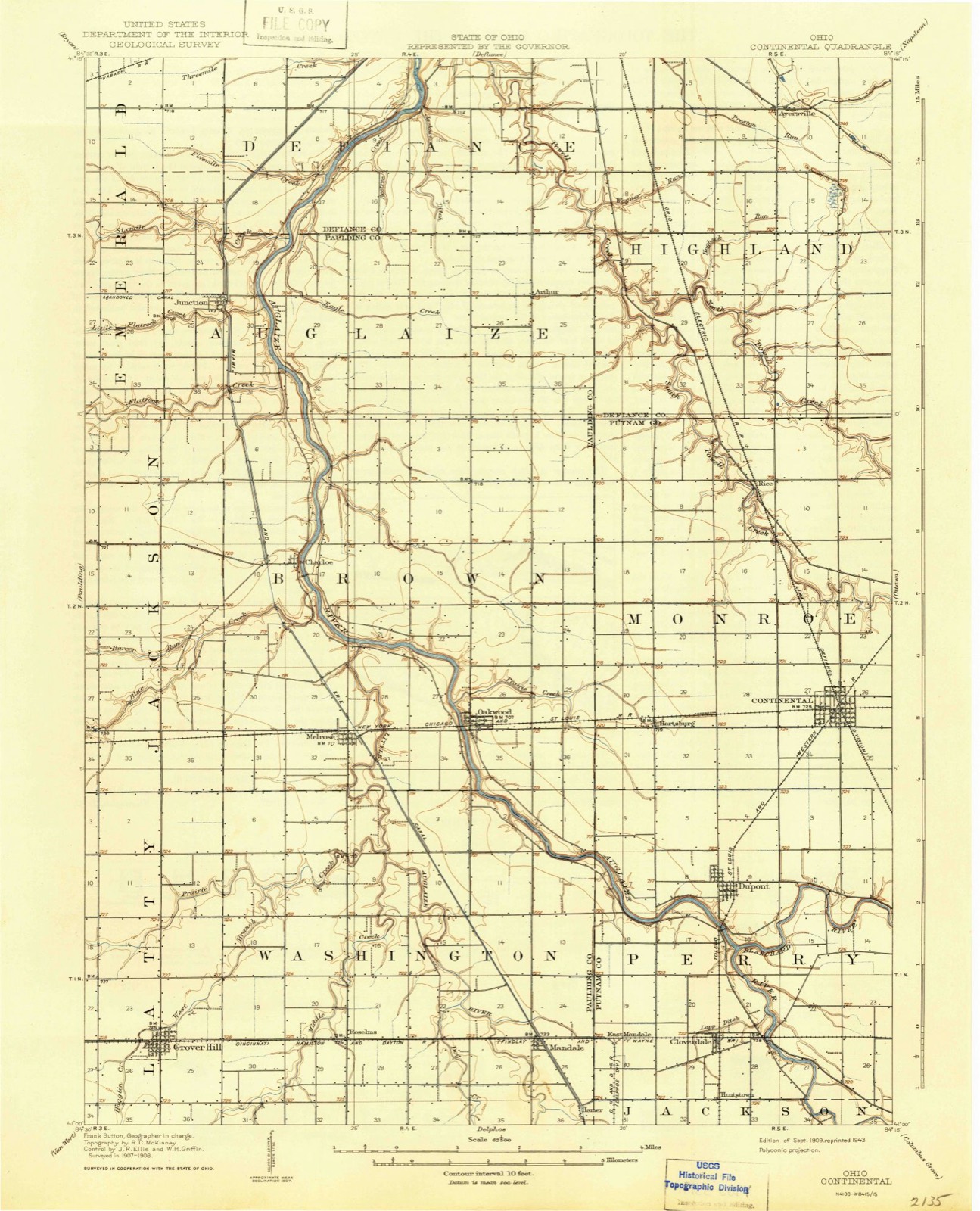
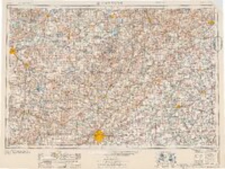
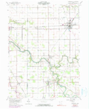
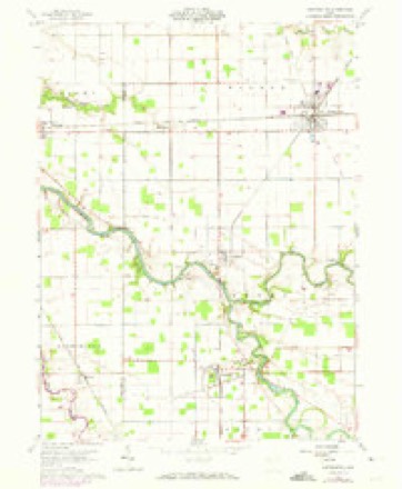
Topographic sheets covering this place
12 sheetsMatched by testing this settlement's coordinate against the published boundary of every sheet in the United States Geological Survey's historical collection. Each opens the scanned sheet at the Survey.
- 1909 USGS Continental quadrangle1:62500
- 1953 USGS Fort Wayne quadrangle1:250000
- 1953 USGS Fort Wayne quadrangle1:250000
- 1953 USGS Fort Wayne quadrangle1:250000
- 1953 USGS Fort Wayne quadrangle1:250000
- 1956 USGS Fort Wayne quadrangle1:250000
- 1956 USGS Fort Wayne quadrangle1:250000
- 1960 USGS Continental quadrangle1:24000
- 1960 USGS Continental quadrangle1:24000
- 1960 USGS Continental quadrangle1:24000
- 1960 USGS Continental quadrangle1:24000
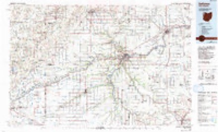
- 1986 USGS Defiance quadrangle1:100000
In the county-history sources
1,613 words on this townshipHistory of Putnam County, Ohio : Its Peoples, Industries, and Institutions, published 1915 names this settlement in its chapter on Perry Township. These are the passages that mention it, exactly as the scans read.
Franconia was the first town laid out in the township. It was laid out by Amos Kendall in 1837 and the first store was kept by Parlee Carlin. A double log cabin, which was featured by Howe as a "Home in the Wilderness," was erected by Sebastian Shroufe, and P. B. Holden later kept a tavern in the same building. While Franconia was a flourishing little center of trade for a number of years, it has long since disappeared and nothing now remains of what was once hoped would be a substantial town. Other towns in this township include Cloverdale (Drucilla), Dupont, Cascade and Huntstown.
Passage source: History of Putnam County, Ohio : Its Peoples, Industries, and Institutions, published 1915.
The first blow which Dupont had to endure was the failure of the timber and, in consequence, the removal of the stave factories, her chief industry. The second blow came with the building of the Nickel Plate railroad across the Clover Leaf at Continental, and the final step was the construction of the Findlay, Ft. Wayne & Western through Cloverdale, just two and onehalf miles south of the village.
Passage source: History of Putnam County, Ohio : Its Peoples, Industries, and Institutions, published 1915.
Cloverdale is situated at the junction of the two railroads crossing the township and dates its existence from 1891. It was surveyed and platted by E. W. Dimmick for W. H. and E. M. Mozier, Tunis and Nora Truax and Austin and Mary Combs, the proprietors. The first postoffice was called Drucilla. Although there had been a town here since the construction of the Cloverleaf railroad in 1877, which was known as Evansville, it was never platted, and when the new town was platted the name Cloverdale was given and the former name gradually disappeared. It was incorporated on April II, 1902.
Passage source: History of Putnam County, Ohio : Its Peoples, Industries, and Institutions, published 1915.
Machine-read from a century-old scan, so expect the errors a machine makes: misspelled names, dropped words, stray characters.
Specimens collected near this place
12 of 114 shownRegional context, not property-specific evidence. Museums hold 114 specimens collected within 10 miles of Cloverdale between 1893 and 1969: 114 Animalia. 12 distinct Species records are shown. Collected by Adler, K. K., Blyth & Katz, Creamer, D. and others. Each is a physical object with a catalogue number, and each entry opens the museum's record. This is what was collected and kept, not a survey of what lives here - nothing can be concluded from a species being absent.
| Image | Species | Year | Collected by | Where, as recorded |
|---|---|---|---|---|
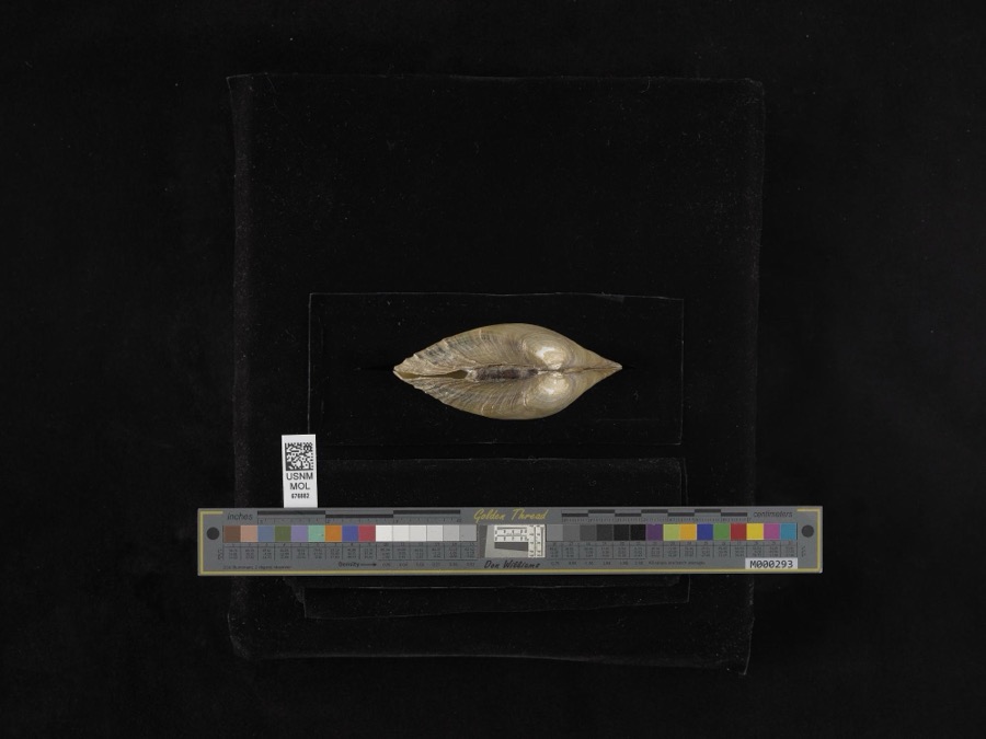 | Lampsilis ventricosa (Barnes, 1823) | 1893 | not recorded | Blanchard River |
 | Ambloplites rupestris (Rafinesque, 1817) | 1893 | P. Kirsch | Auglaize River, Oakwood, Ohio |
 | Cambarus rusticus Girard, 1852 | 1893 | P. Kirsch | Sugar Creek, Cloverdale |
 | Ericymba buccata Cope, 1865 | 1893 | P. Kirsch | Auglaize River, Oakwood, Ohio |
 | Ictalurus punctatus (Rafinesque, 1818) | 1893 | P. Kirsch | Auglaize River, Oakwood, Ohio |
 | Lithobates pipiens (Schreber, 1782) | 1893 | not recorded | Cloverdale, Auglaize River |
 | Notropis whipplei (Girard, 1856) | 1893 | P. Kirsch | Auglaize River, Oakwood, Ohio |
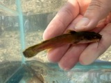 | Noturus flavus Rafinesque, 1818 | 1893 | P. Kirsch | Auglaize River, Cloverdale, Ohio |
 | Acris crepitans Baird, 1854 | 1930 | Walker, C. F. (Charles F.) | Sugar Cr. Twp: near Vaughnsville, Putnam Co., Ohio |
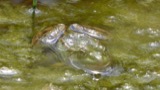 | Rana clamitans Latreille, 1801 | 1930 | Walker, C. F. (Charles F.) | Sugar Creek Twp.: near Vaughnsville, Putnam Co., Ohio |
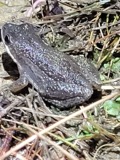 | Pseudacris triseriata (Wied-Neuwied, 1838) | 1931 | Walker, C. F. (Charles F.) | Ottawa Twp., Putnam Co., Ohio |
 | Rana pipiens Schreber, 1782 | 1931 | Walker, C. F. (Charles F.) | Ottawa Twp., Putnam Co., Ohio |
All 114 specimens within 10 miles, at the Global Biodiversity Information Facility.
Storms near this place
8 since 1997Regional context, not property-specific evidence. The National Weather Service names Cloverdale in 8 storm reports between 1997 and 2025: 3 thunderstorm wind, 2 hail, 2 flood, 1 flash flood. No death or injury is recorded in these reports. Each account below is quoted exactly as the forecast office filed it, from the NOAA Storm Events Database, and each date opens the federal record of that event.
| When | Event | Place named | Harm | What the report says |
|---|---|---|---|---|
| July 1997 | Thunderstorm Wind | Cloverdale | $3,000 | Trees downed. |
| April 2025 | Flood | Cloverdale | $1,000 | Photos on X show water covering portions of the road in Cloverdale, west of SR 634. |
| July 2019 | Thunderstorm Wind | Cloverdale | - | The public reported significant damage to the roof of a residence, with parts of the roof being blown off. Trees were also damaged on the property as well as bending a TV antenna. |
| June 2015 | Flash Flood | Cloverdale | - | Torrential rainfall fell well south of the county across much of Allen county, Ohio which ran off into the Ottawa River. The runoff from this rainfall rapidly moved upstream into the county and caused a rapid increase in river and creek levels around the town of Kalida. High water impacted nearly the entire town, with some locations seeing several feet of flood water closer to the river edges. Of greater significance was that the high water levels caused flood waters to cover all of the state and U.S. routes that intersect within the town limits. This essentially cut the town off from the surrounding communities due to a combination of the high water on the road and travel of vehicles through the water causing wave action which increased local flooding issues. |
| June 2015 | Flood | Cloverdale | - | While overall rainfall amounts were not as significant as counties to the south of Putnam county, river and creek levels increased across mainly the southern portion of the county, causing several road closures due to high water. The most significant flooding occurred in the Kalida area, with a separate entry under Flash Flood outlining the details. |
| April 1998 | Hail | Cloverdale | - | Hail up to 1 inch in diameter reported in Cloverdale by Assistant Emergency Manager. |
| May 2000 | Hail | Cloverdale | - | no account filed |
| May 2000 | Thunderstorm Wind | Cloverdale | - | no account filed |
Nearest settlements
The eight closest, with where each one stands in the county. Distances are straight-line, computed from the Geographic Names Information System coordinates.
| Map | Place | Distance | Sheets |
|---|---|---|---|
| Cascade | 0.8 miles | 12 | |
| Huntstown (historical) | 1.1 miles | 12 | |
| Franconia (historical) | 1.5 miles | 12 | |
| East Mandale | 2.0 miles | 12 | |
| Dupont | 2.5 miles | 12 | |
| Muntanna | 3.1 miles | 13 | |
| Montana (historical) | 3.5 miles | 13 | |
| Dorninton | 4.6 miles | 11 |
Elsewhere
Matched on this settlement's Geographic Names Information System number rather than its name, so it cannot be a different place of the same name in another state.
| Wikipedia article on Cloverdale | An encyclopaedic summary. Its text is share-alike, so it is linked here rather than copied. |
| Wikidata item Q2668741 | The structured record the population and elevation above come from. Public domain (CC0). |
Provenance
This settlement is recorded in the Geographic Names Information System as feature 1079575. The sheet list is computed by point-in-boundary test against the United States Geological Survey's historical topographic inventory. Both are works of the United States government and carry no copyright under 17 U.S.C. 105.
Specimens. Global Biodiversity Information Facility (GBIF), https://www.gbif.org/. Only records licensed CC0 or CC BY are used. Records licensed CC BY-NC are excluded because this site carries advertising. Images are checked individually and any whose licence is non-commercial, no-derivatives or unreadable is refused.
Storms. NOAA National Centers for Environmental Information, Storm Events Database https://www.ncei.noaa.gov/stormevents/ A work of the United States government, no copyright under 17 U.S.C. 105. Narratives are quoted verbatim from the National Weather Service report and are not edited or summarised.