 Block
Block
Churchtown, Ohio
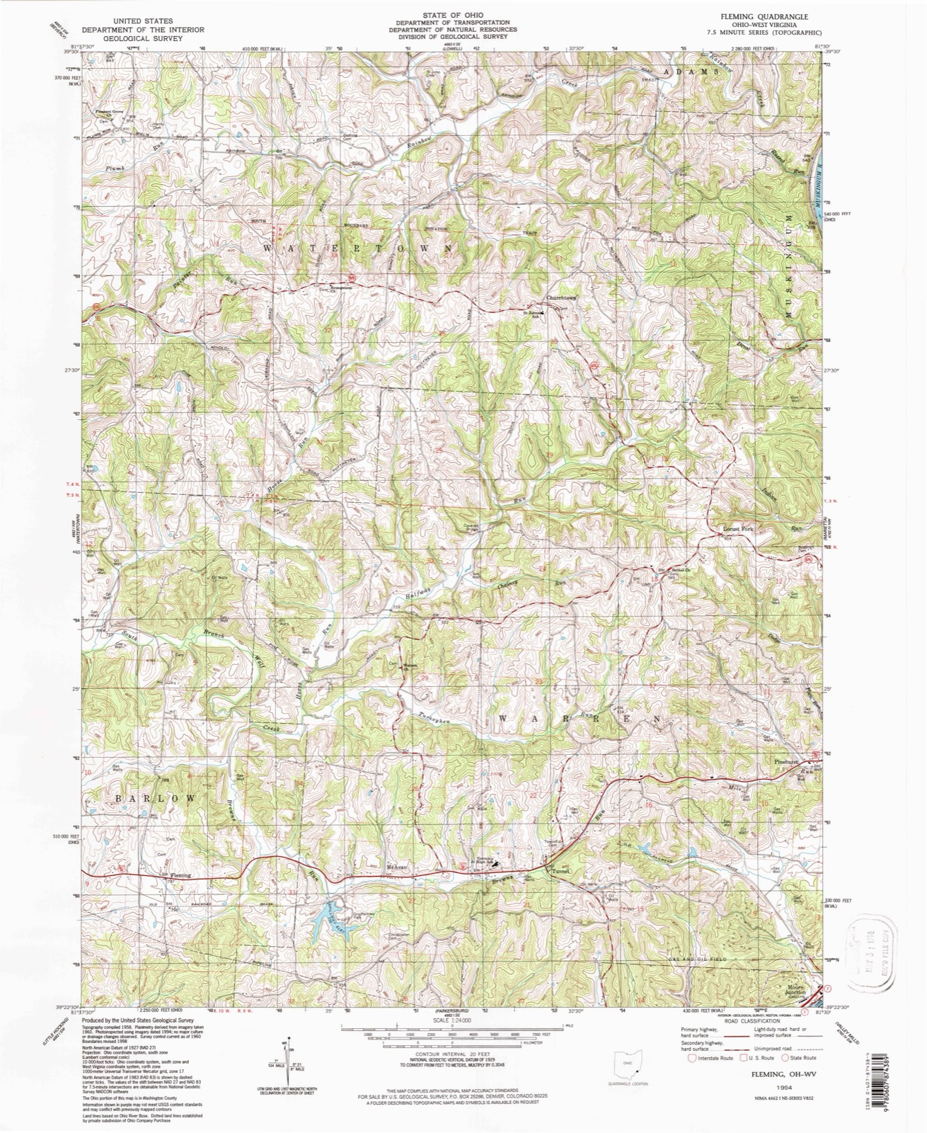
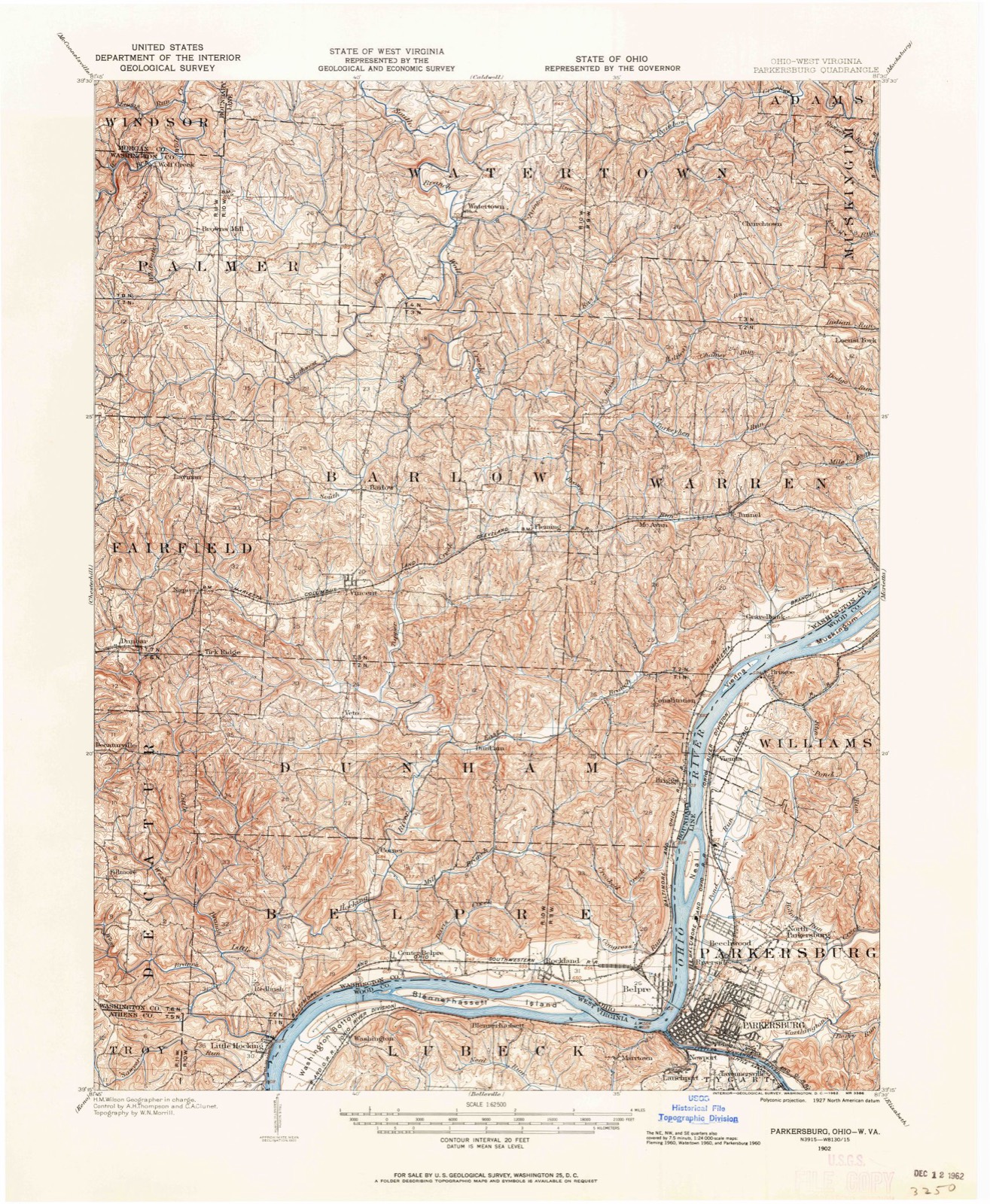
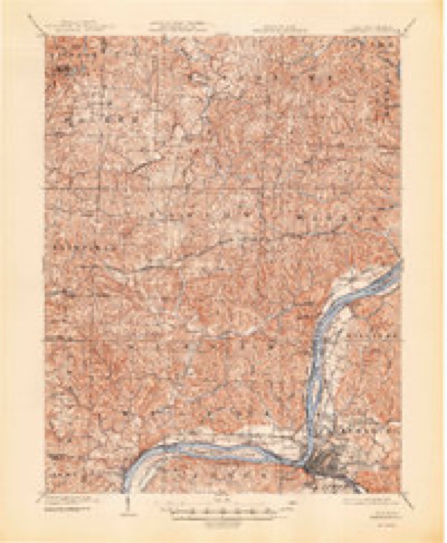
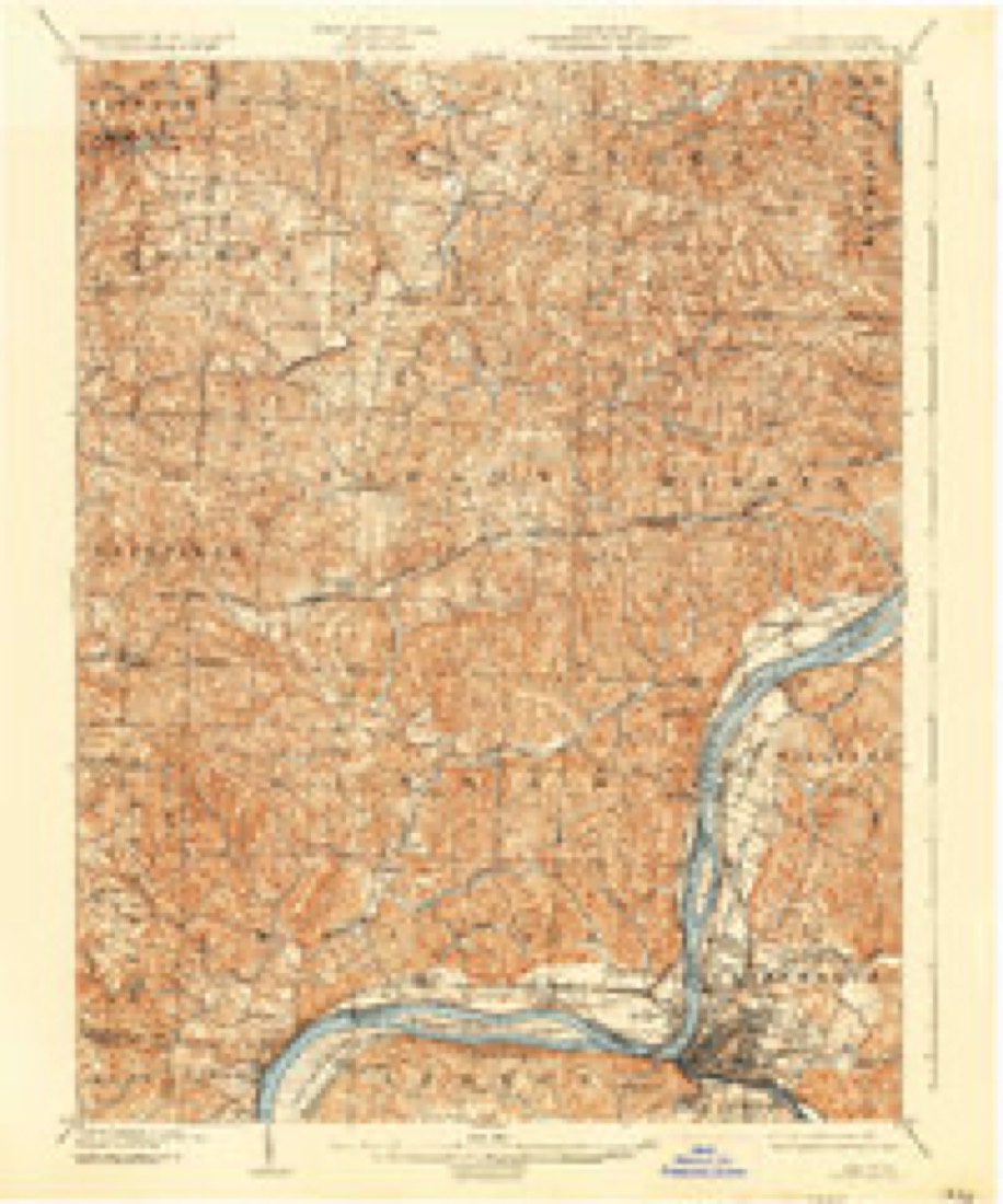
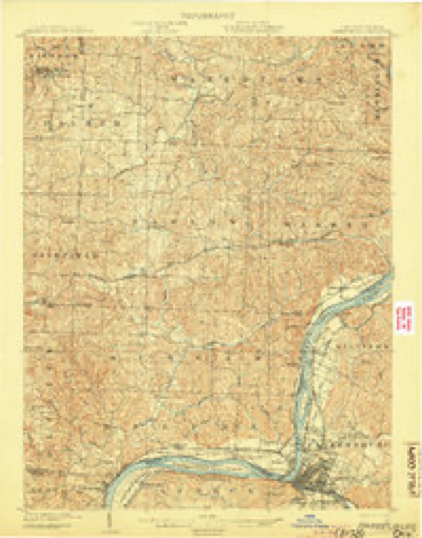
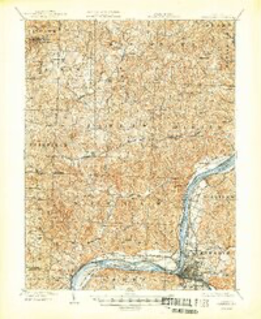
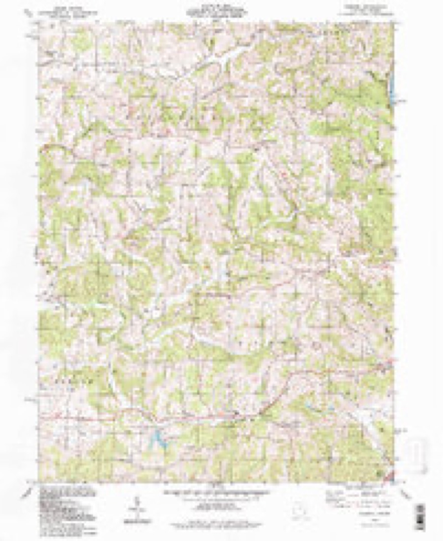
16 topographic sheets cover this place, the earliest surveyed in 1902 and the latest in 1994. It stands in Watertown Township. It lies in ZIP code area 45786. The Survey maps it on the Fleming quadrangle.
Then and now
1902 to 1994The same ground, surveyed 92 years apart. Drag the handle to wipe between them. Both sheets are United States Geological Survey originals; neither has been altered.
Compare 1902 against another survey:
Topographic sheets covering this place
16 sheetsMatched by testing this settlement's coordinate against the published boundary of every sheet in the United States Geological Survey's historical collection. Each opens the scanned sheet at the Survey.
- 1902 USGS Parkersburg quadrangle1:62500
- 1904 USGS Parkersburg quadrangle1:62500
- 1904 USGS Parkersburg quadrangle1:62500
- 1904 USGS Parkersburg quadrangle1:62500
- 1904 USGS Parkersburg quadrangle1:62500
- 1904 USGS Parkersburg quadrangle1:62500
- 1949 USGS Clarksburg quadrangle1:250000
- 1956 USGS Clarksburg quadrangle1:250000
- 1956 USGS Clarksburg quadrangle1:250000
- 1960 USGS Fleming quadrangle1:24000
- 1960 USGS Fleming quadrangle1:24000
- 1960 USGS Fleming quadrangle1:24000
- 1961 USGS Clarksburg quadrangle1:250000
- 1981 USGS Parkersburg quadrangle1:100000
- 1988 USGS Clarksburg quadrangle1:250000
- 1994 USGS Fleming quadrangle1:24000





In the county-history sources
18,496 words on this townshipHistory of Washington County, Ohio, published 1881 names this settlement in its chapter on Watertown Township. These are the passages that mention it, exactly as the scans read.
The territory of Union had grown smaller by annexations to Watertown, Adams, and Muskingum, and finally the town, December, 1877, lost its identity entirely. The part bounded by a line beginning at the southwest corner of section twenty-six, and running due east to the southwest corner of section eight, then north to the south line of '*Wiseman's bottom allotment," then west to the southwest corner of Wiseman's bottom, then north to the southeast corner of lot number five, in Rainbow Creek allotment, then west to the southwest corner of lot number ten, in same allotment, then north to the northeast corner of lot number sixteen, then west to the line of Watertown township, then south to the place of beginning, was annexed to Watertown township. The territory constituting Watertown was originally embraced in Marietta and Waterford. Legal divisions generally became smaller as the population grows more dense, but every change of boundaries but one (when Palmer was established) has resulted in the enlargement of this territory.
Passage source: History of Washington County, Ohio, published 1881.
Matthew Jurden was born in Aix-la-Chapelle, Prussia. He afterwards emigrated to Pennsylvania, whence in 1865 he came to Ohio, and settled in this county, in that part of Union township now embraced in Watertown. He was elected township clerk in 1869, served for six years as justice of the peace, and since 1875 has been postmaster at Churchtown. His wife, Catharine De Temple, was born in France in 1832. To them have been born eleven children, all of whom are living. Mr. Jurden has a beautiful upland farm of two hundred acres of land, most of which he cleared by his own labor. He is also proprietor of an extensive vineyard.
Passage source: History of Washington County, Ohio, published 1881.
Machine-read from a century-old scan, so expect the errors a machine makes: misspelled names, dropped words, stray characters.
Fires near this place
12 since 2013Regional context, not property-specific evidence. The federal wildfire occurrence database lists 12 fires within 5 miles of Churchtown between 2013 and 2020, burning about 29 acres in total. None started naturally. None was recorded as arson. Distance is straight-line from the map coordinates, so a fire counted here may appear on a neighbouring settlement's page as well.
| Reported cause | Fires |
|---|---|
| Debris and open burning | 8 |
| Equipment and vehicle use | 2 |
| Power generation/transmission/distribution | 1 |
| Missing data/not specified/undetermined | 1 |
The most recent of them, most recent first, with the day each was reported and the service that recorded it.
| Date | Cause | Size | Reported by | Name on the report |
|---|---|---|---|---|
| 19 September 2020 | Debris and open burning | 2.0 acres | Ohio Department of Natural Resources | 15839 |
| 7 April 2019 | Debris and open burning | under an acre | Ohio Department of Natural Resources | 15177 |
| 27 April 2014 | Missing data/not specified/undetermined | 4.0 acres | Ohio Department of Natural Resources | not named |
| 20 April 2016 | Debris and open burning | under an acre | Ohio Department of Natural Resources | 4612 |
| 27 March 2019 | Debris and open burning | under an acre | Ohio Department of Natural Resources | 15105 |
| 24 March 2019 | Debris and open burning | under an acre | Ohio Department of Natural Resources | 15103 |
| 23 March 2013 | Debris and open burning | 2.0 acres | Ohio Department of Natural Resources | not named |
| 18 March 2018 | Debris and open burning | 1.0 acres | Ohio Department of Natural Resources | 12106 |
Settlements close enough to share some of these fires:
Specimens collected near this place
12 of 1,298 shownRegional context, not property-specific evidence. Museums hold 1,298 specimens collected within 10 miles of Churchtown between 1853 and 1974: 1,202 Animalia, 50 Fungi, 44 Plantae, 1 Unrecorded, 1 Chromista. 12 distinct Species records are shown. Collected by A. D. Selby, A. Drew, A. L. McElhose and others. Each is a physical object with a catalogue number, and each entry opens the museum's record. This is what was collected and kept, not a survey of what lives here - nothing can be concluded from a species being absent.
| Image | Species | Year | Collected by | Where, as recorded |
|---|---|---|---|---|
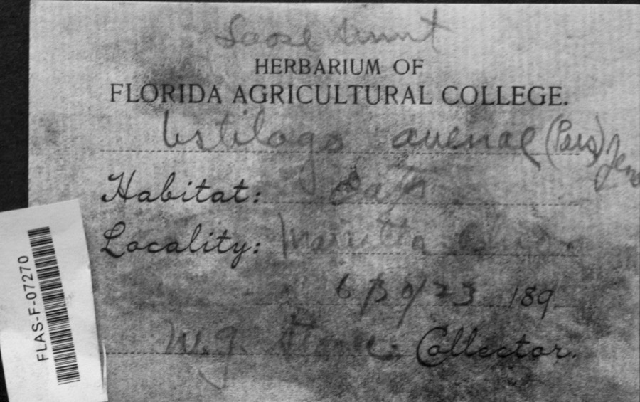 | Ustilago avenae (Pers.) Rostr. | 1923 | W.G. Stoner | Marietta |
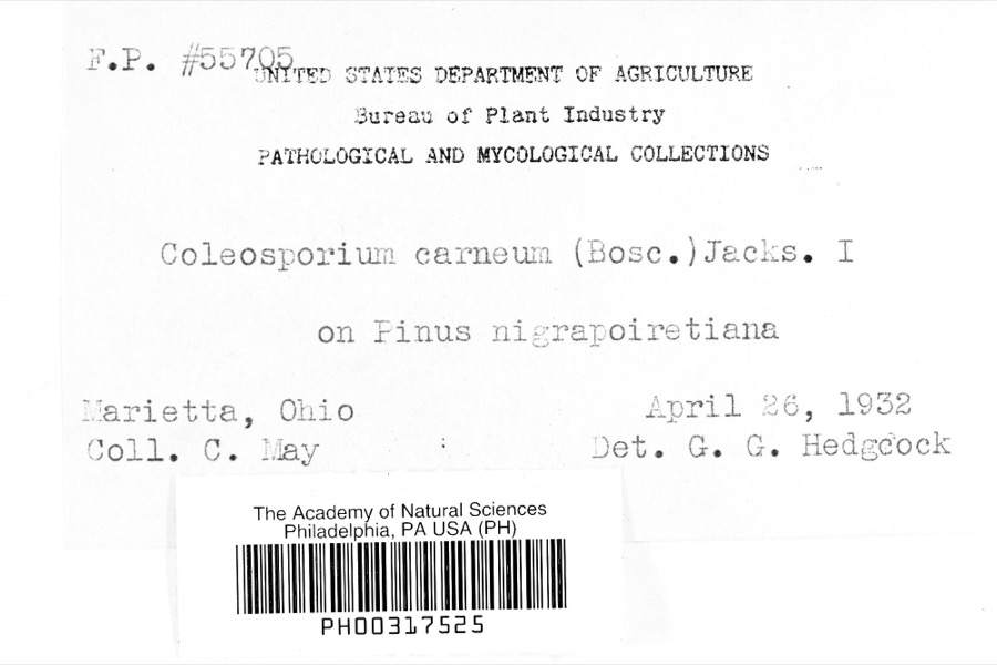 | Coleosporium carneum (Bosc) H.S.Jacks. | 1932 | C. May | Marietta |
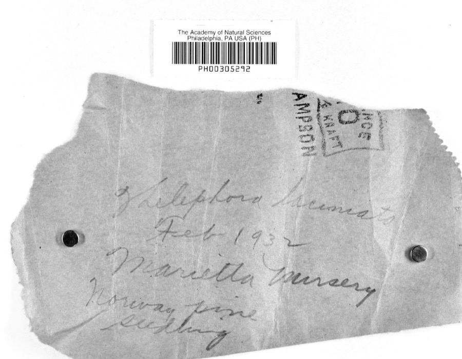 | Thelephora laciniata (Pers.) Pers. | 1932 | L.W.R.J. | Nursery, Marietta |
 | Catostomus commersonii (Lacepède, 1803) | 1853 | E. Andrews | Marietta, Ohio |
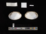 | Actinonaias carinata gibba (C.T.Simpson, 1900) | 1879 | W. Holden | Ohio River, Near Marietta |
 | Necturus maculosus (Rafinesque, 1818) | 1886 | Georg Baur | Marietta |
 | Ammocrypta pellucida (Putnam, 1863) | 1888 | C. Gilbert & J. Henshall | Beverly, Ohio, Muskingum River. |
.jpg) | Crystallaria cincotta Welsh & Wood, 2008 | 1888 | Gilbert, C. & Henshall, J. A. (James A.) | Muskingum River, dst Beverly dam RM 24.8, 0.6 miles west of Beverly OH, Waterford township |
 | Hypentelium nigricans (Lesueur, 1817) | 1888 | C. Gilbert & J. Henshall | Beverly, Ohio, Muskingum River. |
 | Notropis whipplei (Girard, 1856) | 1888 | C. Gilbert & J. Henshall | Beverly, Ohio |
 | Percopsis omiscomaycus (Walbaum, 1792) | 1888 | C. Gilbert & J. Henshall | Beverly, Ohio, Muskingum River. |
 | Pimephales vigilax (Baird & Girard, 1853) | 1888 | C. Gilbert & J. Henshall | Beverly, Ohio, Muskingum River. |
All 1,298 specimens within 10 miles, at the Global Biodiversity Information Facility.
Mines and quarries near this place
3 within 5 milesRegional context, not property-specific evidence. The federal mineral resources record lists 3 workings within 5 miles of Churchtown: 2 past producers, 1 producer. 1 still produces. What was taken out: Sand and Gravel, Construction. Distance is straight-line from the map coordinates, so a quarry counted here may appear on a neighbouring settlement's page as well.
| Where | Site | Commodity | Status | Recorded |
|---|---|---|---|---|
| Muskingum River Plant No 5 & Pit | Sand and Gravel, Construction | Past Producer | ||
| Number 3 Sand and Gravel Pit | Sand and Gravel, Construction | Producer | ||
| Union Slag No. 2 Sand & Gravel Pit | Sand and Gravel, Construction | Past Producer |
Storms near this place
2 since 2017Regional context, not property-specific evidence. The National Weather Service names Churchtown in 2 storm reports between 2017 and 2023: 1 thunderstorm wind, 1 hail. No death or injury is recorded in these reports. Each account below is quoted exactly as the forecast office filed it, from the NOAA Storm Events Database, and each date opens the federal record of that event.
| When | Event | Place named | Harm | What the report says |
|---|---|---|---|---|
| April 2017 | Thunderstorm Wind | Churchtown | $5,000 | Multiple trees were uprooted and snapped. |
| February 2023 | Hail | Churchtown | - | no account filed |
Nearest settlements
The eight closest, with where each one stands in the county. Distances are straight-line, computed from the Geographic Names Information System coordinates.
| Map | Place | Distance | Sheets |
|---|---|---|---|
| Locust Fork | 2.7 miles | 16 | |
| Alden | 2.7 miles | 16 | |
| Devola | 3.7 miles | 17 | |
| Westview | 3.8 miles | 17 | |
| Oak Grove | 4.5 miles | 17 | |
| Watertown | 4.5 miles | 16 | |
| Arlington Heights | 4.7 miles | 17 | |
| Rainbow | 4.8 miles | 17 |
Elsewhere
Matched on this settlement's Geographic Names Information System number rather than its name, so it cannot be a different place of the same name in another state.
| Wikipedia article on Churchtown | An encyclopaedic summary. Its text is share-alike, so it is linked here rather than copied. |
| Wikidata item Q22133344 | The structured record the population and elevation above come from. Public domain (CC0). |
Provenance
This settlement is recorded in the Geographic Names Information System as feature 1039117. The sheet list is computed by point-in-boundary test against the United States Geological Survey's historical topographic inventory. Both are works of the United States government and carry no copyright under 17 U.S.C. 105.
Wildfire. Short, Karen C. 2022. Spatial wildfire occurrence data for the United States, 1992-2020 [FPA_FOD_20221014]. 6th Edition. Fort Collins, CO: Forest Service Research Data Archive. https://doi.org/10.2737/RDS-2013-0009.6 Collected with United States Government funding and usable without additional permissions or fees.
Specimens. Global Biodiversity Information Facility (GBIF), https://www.gbif.org/. Only records licensed CC0 or CC BY are used. Records licensed CC BY-NC are excluded because this site carries advertising. Images are checked individually and any whose licence is non-commercial, no-derivatives or unreadable is refused.
Mines and quarries. USGS Mineral Resources Data System (MRDS) https://mrdata.usgs.gov/mrds/ A work of the United States government, no copyright under 17 U.S.C. 105.
Storms. NOAA National Centers for Environmental Information, Storm Events Database https://www.ncei.noaa.gov/stormevents/ A work of the United States government, no copyright under 17 U.S.C. 105. Narratives are quoted verbatim from the National Weather Service report and are not edited or summarised.