 Block
Block
Beverly, Ohio
14 topographic sheets cover this place, the earliest surveyed in 1909 and the latest in 1994. It stands in Waterford Township. It lies in ZIP code area 45715. It stands on West Branch Wolf Creek. The Survey maps it on the Beverly quadrangle. 1,233 people lived here at the 2020 count. It stands 659 feet above sea level.
Population over time
2 figuresBeverly fell from 1,313 to 1,233 between 2010 and 2020. These are the recorded population figures Wikidata holds for this place, reached through the Geographic Names Information System number this page is keyed on rather than by name, so they belong to this place and not to another of the same name. Most are census counts, but not all are: an early figure may be a founding or settlement estimate. The change column is computed, and is left blank where more than 20 years separate a figure from the one before it, because a gap that long is not a change between two counts.
| Year | People | Change |
|---|---|---|
| 2010 | 1,313 | |
| 2020 | 1,233 | -80 (-6%) |
Then and now
1909 to 1994The same ground, surveyed 85 years apart. Drag the handle to wipe between them. Both sheets are United States Geological Survey originals; neither has been altered.
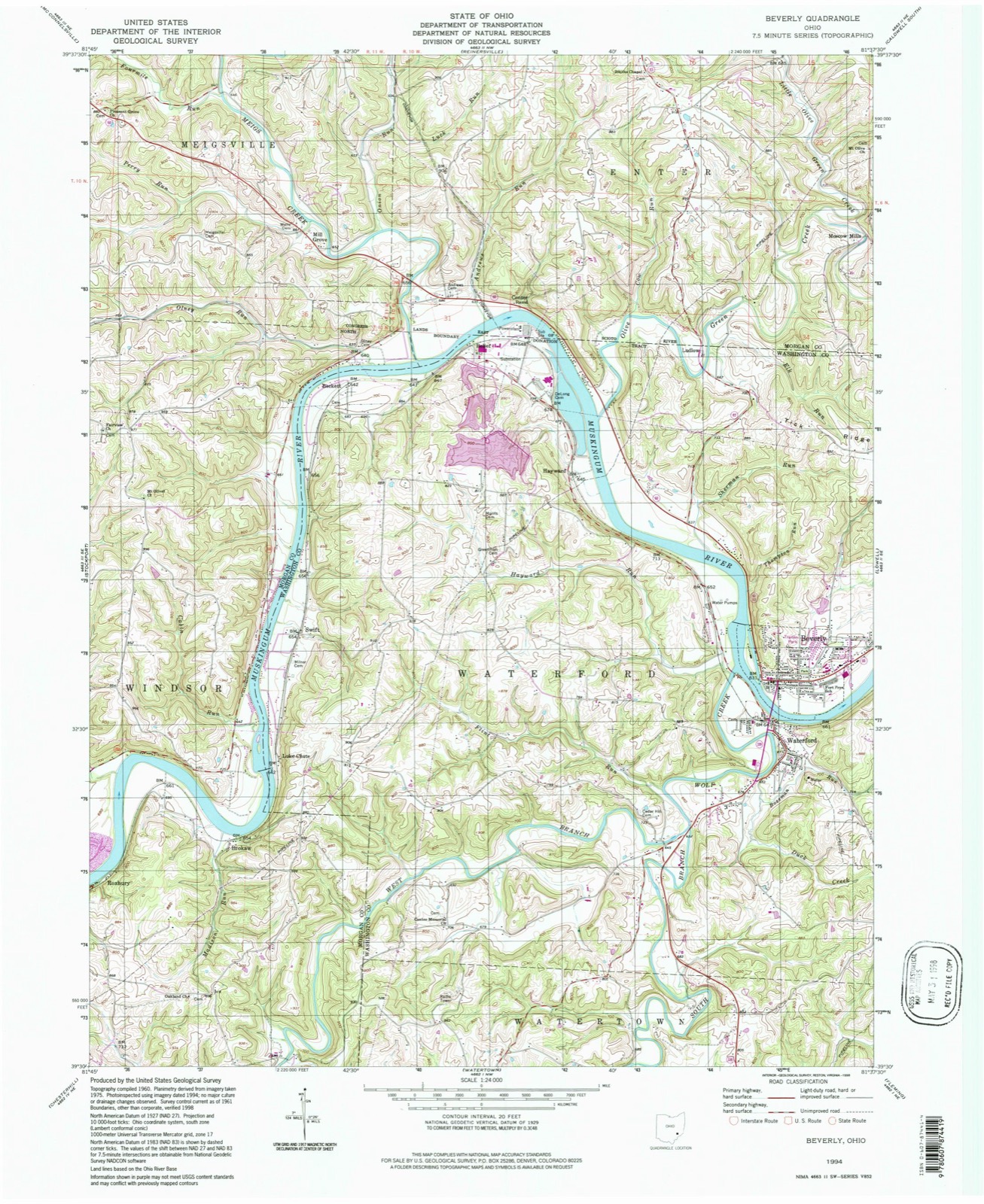
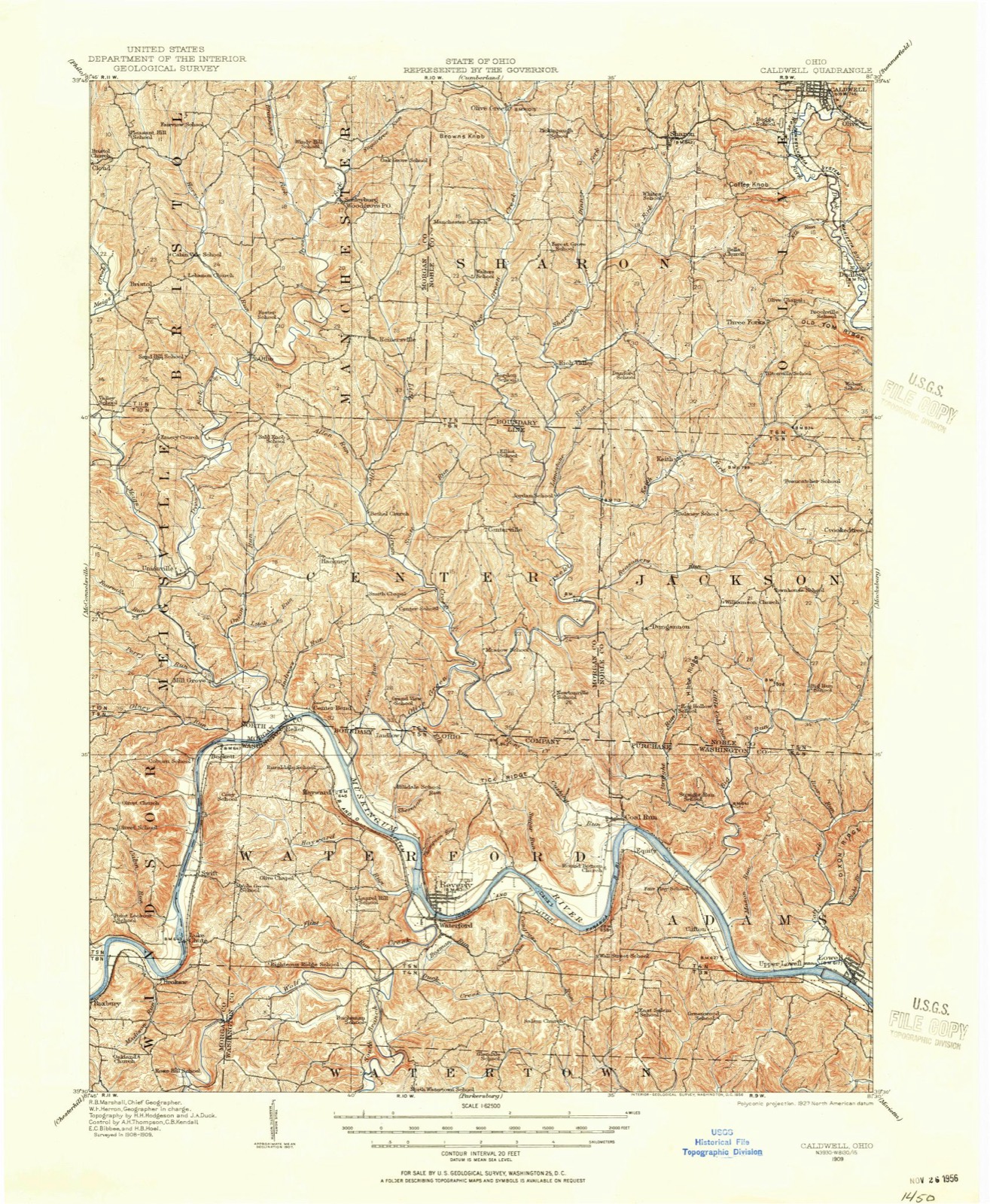
Compare 1909 against another survey:
Topographic sheets covering this place
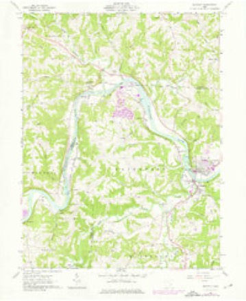
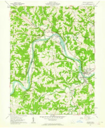
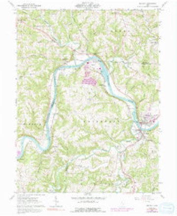
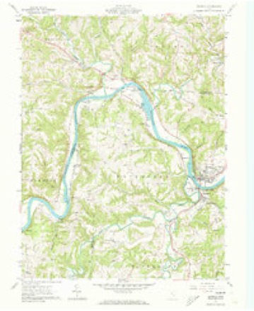
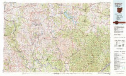
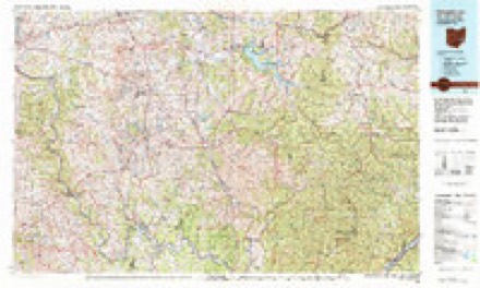
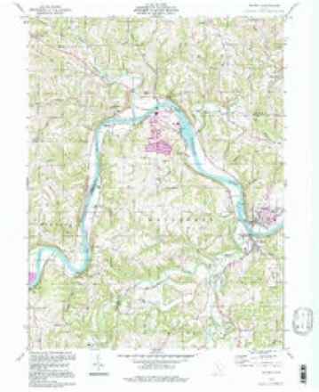
14 sheetsMatched by testing this settlement's coordinate against the published boundary of every sheet in the United States Geological Survey's historical collection. Each opens the scanned sheet at the Survey.
- 1909 USGS Caldwell quadrangle1:62500
- 1912 USGS Caldwell quadrangle1:62500
- 1949 USGS Clarksburg quadrangle1:250000
- 1956 USGS Clarksburg quadrangle1:250000
- 1956 USGS Clarksburg quadrangle1:250000
- 1961 USGS Beverly quadrangle1:24000
- 1961 USGS Beverly quadrangle1:24000
- 1961 USGS Beverly quadrangle1:24000
- 1961 USGS Beverly quadrangle1:24000
- 1961 USGS Clarksburg quadrangle1:250000
- 1980 USGS Senecaville quadrangle1:100000
- 1980 USGS Senecaville Lake quadrangle1:100000
- 1988 USGS Clarksburg quadrangle1:250000
- 1994 USGS Beverly quadrangle1:24000





In the county-history sources
41,950 words on this townshipHistory of Washington County, Ohio, published 1881 names this settlement in its chapter on Waterford Township. These are the passages that mention it, exactly as the scans read.
The whole area of Waterford township lies within the tract donated by the Ohio company to encourage settlement, as has previously been explained in the general history of the county. But the presence of Indians of uncertain disposition, made it necessary that the settlement should be compact, so that the inhabitants might be able to give each other assistance in case of danger. A tract beginning where the town of Beverly now stands and extending about two miles down the river, was laid out in ten and fifteen acre lots. These lots were drawn by holders of titles to full lots lying further back.
Passage source: History of Washington County, Ohio, published 1881.
On the west side of the river, Wolf creek bends around a gentle elevation which flattens out towards the west, leaving an irregular tract so nearly surrounded by watter, as to be called "the peninsula." This tract was laid off in five acre lots on the plan of the New England villages; one street running through the centre, another at right angles, and a third around the outside.
Passage source: History of Washington County, Ohio, published 1881.
The spring of 1790 brought to Waterford a number of families from the east, and a few from the other settlements. The abundant crop of corn of the previous summer gave some idea of the agricultural resources of the Muskingum bottoms, and donation lots were eagerly sought.
Passage source: History of Washington County, Ohio, published 1881.
Machine-read from a century-old scan, so expect the errors a machine makes: misspelled names, dropped words, stray characters.
Read the whole chapter on Waterford Township - it names this place 112 more 112 times.
Fires near this place
32 since 2010Regional context, not property-specific evidence. The federal wildfire occurrence database lists 32 fires within 5 miles of Beverly between 2010 and 2020, burning about 42 acres in total. None started naturally. None was recorded as arson. Distance is straight-line from the map coordinates, so a fire counted here may appear on a neighbouring settlement's page as well.
| Reported cause | Fires |
|---|---|
| Debris and open burning | 19 |
| Missing data/not specified/undetermined | 9 |
| Smoking | 2 |
| Equipment and vehicle use | 1 |
| Power generation/transmission/distribution | 1 |
The most recent of them, most recent first, with the day each was reported and the service that recorded it.
| Date | Cause | Size | Reported by | Name on the report |
|---|---|---|---|---|
| 24 September 2016 | Missing data/not specified/undetermined | under an acre | Ohio Department of Natural Resources | 5588 |
| 23 September 2016 | Smoking | under an acre | Ohio Department of Natural Resources | 5587 |
| 5 June 2015 | Debris and open burning | under an acre | Ohio Department of Natural Resources | 1461 |
| 25 June 2016 | Smoking | under an acre | Ohio Department of Natural Resources | 5045 |
| 7 April 2019 | Debris and open burning | under an acre | Ohio Department of Natural Resources | 15177 |
| 7 April 2010 | Missing data/not specified/undetermined | 2.0 acres | Ohio Department of Natural Resources | not named |
| 27 April 2014 | Missing data/not specified/undetermined | 4.0 acres | Ohio Department of Natural Resources | not named |
| 24 April 2014 | Debris and open burning | 1.0 acres | Ohio Department of Natural Resources | not named |
Settlements close enough to share some of these fires:
Specimens collected near this place
12 of 687 shownRegional context, not property-specific evidence. Museums hold 687 specimens collected within 10 miles of Beverly between 1888 and 1974: 599 Animalia, 83 Plantae, 5 Fungi. 12 distinct Species records are shown. Collected by A. D. Selby, Albaugh, D. W. (Douglas W.), Albaugh, Douglas W and others. Each is a physical object with a catalogue number, and each entry opens the museum's record. This is what was collected and kept, not a survey of what lives here - nothing can be concluded from a species being absent.
| Image | Species | Year | Collected by | Where, as recorded |
|---|---|---|---|---|
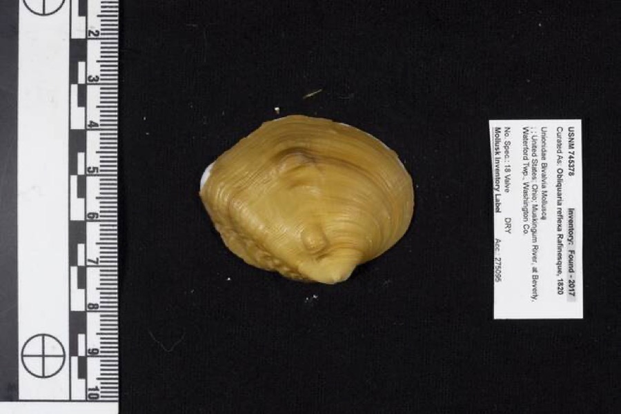 | Obliquaria reflexa Rafinesque, 1820 | 1962 | D. Stansbery | Waterford Township, Muskingum River, Beverly |
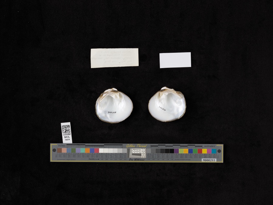 | Quadrula pustulosa (I.Lea, 1831) | 1962 | D. Stansbery | Muskingum River, Waterford, Below Dam At Beverly |
 | Ammocrypta pellucida (Putnam, 1863) | 1888 | C. Gilbert & J. Henshall | Beverly, Ohio, Muskingum River. |
.jpg) | Crystallaria cincotta Welsh & Wood, 2008 | 1888 | Gilbert, C. & Henshall, J. A. (James A.) | Muskingum River, dst Beverly dam RM 24.8, 0.6 miles west of Beverly OH, Waterford township |
 | Hypentelium nigricans (Lesueur, 1817) | 1888 | C. Gilbert & J. Henshall | Beverly, Ohio, Muskingum River. |
 | Notropis whipplei (Girard, 1856) | 1888 | C. Gilbert & J. Henshall | Beverly, Ohio |
 | Percopsis omiscomaycus (Walbaum, 1792) | 1888 | C. Gilbert & J. Henshall | Beverly, Ohio, Muskingum River. |
 | Pimephales vigilax (Baird & Girard, 1853) | 1888 | C. Gilbert & J. Henshall | Beverly, Ohio, Muskingum River. |
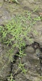 | Eragrostis hypnoides (Lam.) Britton, Sterns & Poggenb. | 1896 | A. D. Selby | Rainbow. |
 | Ammodramus savannarum pratensis (Vieillot, 1818) | 1904 | not recorded | Meigs Creek |
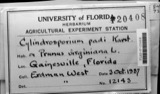 | Cylindrosporium padi P.Karst. | 1910 | W. T. Mitchell & Son | Beverly |
 | Calla palustris L. | 1927 | G. Eifrig | Hayward |
All 687 specimens within 10 miles, at the Global Biodiversity Information Facility.
Mines and quarries near this place
1 within 5 milesRegional context, not property-specific evidence. The federal mineral resources record lists 1 working within 5 miles of Beverly: 1 past producer. None of them still produces. What was taken out: Thorium, REE, Iron, Chromium. Distance is straight-line from the map coordinates, so a quarry counted here may appear on a neighbouring settlement's page as well.
| Where | Site | Commodity | Status | Recorded |
|---|---|---|---|---|
| Interlake Inc/ Beverly, Ohio | Thorium, REE, Iron, Chromium | Past Producer |
Storms near this place
19 since 1996Regional context, not property-specific evidence. The National Weather Service names Beverly in 19 storm reports between 1996 and 2024: 9 thunderstorm wind, 7 flood, 2 hail, 1 heavy rain. No death or injury is recorded in these reports. Each account below is quoted exactly as the forecast office filed it, from the NOAA Storm Events Database, and each date opens the federal record of that event.
| When | Event | Place named | Harm | What the report says |
|---|---|---|---|---|
| June 2012 | Thunderstorm Wind | Beverly | $15,000 | The village office building was damaged. |
| May 2020 | Flood | Beverly | $10,000 | On the Muskingum River, the gage at Beverly showed the giver rose out of its 29 foot flood stage on the afternoon of the 20th. The river crested at 32 feet late that night, and returned to its banks on the morning of the 22nd. While out of its banks, a few low lying areas, farmland, and homes near the river became flooded. |
| March 2017 | Flood | Beverly | $10,000 | Several homes, sections of Route 60, and areas of farmland were flooded due to flooding on the Muskingum River at Beverly. |
| February 2022 | Flood | Beverly | $8,000 | The Muskingum River at Beverly rose out of its 29 foot flood stage just after midnight on the 18th and would not return to its banks until the afternoon of the 19th. While in flood stage, the river crested at 33.28 feet and resulted in flooding of nearby fields, farmlands, and homes. High water crept close to Route 60, but only reached the local roads in Beverly that reside south of Route 60. |
| March 2020 | Flood | Beverly | $5,000 | During the late afternoon hours on the 20th, the Muskingum River in Beverly rose above its 29 flood stage. The river crested around 31 feet early in the morning on the 21st, but did not go back below flood stage until the morning of the 22nd. Low lying areas and farmland near the river gage were flooded. |
| August 1998 | Thunderstorm Wind | Beverly | $5,000 | no account filed |
| June 2020 | Thunderstorm Wind | Beverly | $3,000 | Large trees were blown down near local businesses in the town of Beverly. |
| August 2020 | Thunderstorm Wind | Beverly | $2,000 | Several trees were blown down in and around Beverly. Pea to half dollar size hail was also observed in the Beverly and Waterford area. |
| July 2013 | Thunderstorm Wind | Beverly | $2,000 | Trees were blown down near the intersection of Milner Road and County Route 32. |
| August 1996 | Thunderstorm Wind | Beverly | $2,000 | no account filed |
| February 2022 | Flood | Beverly | $500 | In the town of Beverly, the Muskingum River rose out of its 29 foot flood stage late in the evening of February 22nd, cresting at 30.72 feet during the predawn hours of the 26th, and returning to its banks later that evening. Floodwaters spilled onto the nearby fields and farmlands while the river was out of its banks. |
| February 2022 | Flood | Beverly | $500 | The Muskingum River in Beverly rose out of its 29 foot flood stage during the early evening hours of February 25th. The river crested at 29.8 feet a few hours later and returned to its banks just after midnight on the 26th. Fields and farmlands residing adjacent to the river observed minor flooding while the Muskingum River was out of its banks. |
| April 2020 | Thunderstorm Wind | Beverly | $500 | One tree fell down onto a road in the town of Waterford. |
| January 2024 | Flood | Beverly | - | Wolf Creek near Waterford exceeded its banks for a period of time and flooded adjacent farm fields. |
| July 2008 | Thunderstorm Wind | Beverly | - | Numerous trees and large branches were blown down. Some of the trees knocked down power lines. The community was without power for about 4 to 5 hours. |
| March 2011 | Hail | Beverly | - | no account filed |
| October 2011 | Heavy Rain | Beverly | - | no account filed |
| August 2009 | Hail | Beverly | - | no account filed |
| February 2008 | Thunderstorm Wind | Beverly | - | no account filed |
Nearest settlements
The eight closest, with where each one stands in the county. Distances are straight-line, computed from the Geographic Names Information System coordinates.
Elsewhere
Matched on this settlement's Geographic Names Information System number rather than its name, so it cannot be a different place of the same name in another state.
| Wikipedia article on Beverly | An encyclopaedic summary. Its text is share-alike, so it is linked here rather than copied. |
| Wikidata item Q851740 | The structured record the population and elevation above come from. Public domain (CC0). |
Provenance
This settlement is recorded in the Geographic Names Information System as feature 1048521. The sheet list is computed by point-in-boundary test against the United States Geological Survey's historical topographic inventory. Both are works of the United States government and carry no copyright under 17 U.S.C. 105.
Wildfire. Short, Karen C. 2022. Spatial wildfire occurrence data for the United States, 1992-2020 [FPA_FOD_20221014]. 6th Edition. Fort Collins, CO: Forest Service Research Data Archive. https://doi.org/10.2737/RDS-2013-0009.6 Collected with United States Government funding and usable without additional permissions or fees.
Specimens. Global Biodiversity Information Facility (GBIF), https://www.gbif.org/. Only records licensed CC0 or CC BY are used. Records licensed CC BY-NC are excluded because this site carries advertising. Images are checked individually and any whose licence is non-commercial, no-derivatives or unreadable is refused.
Mines and quarries. USGS Mineral Resources Data System (MRDS) https://mrdata.usgs.gov/mrds/ A work of the United States government, no copyright under 17 U.S.C. 105.
Storms. NOAA National Centers for Environmental Information, Storm Events Database https://www.ncei.noaa.gov/stormevents/ A work of the United States government, no copyright under 17 U.S.C. 105. Narratives are quoted verbatim from the National Weather Service report and are not edited or summarised.