 Block
Johnsons Corners, Ohio
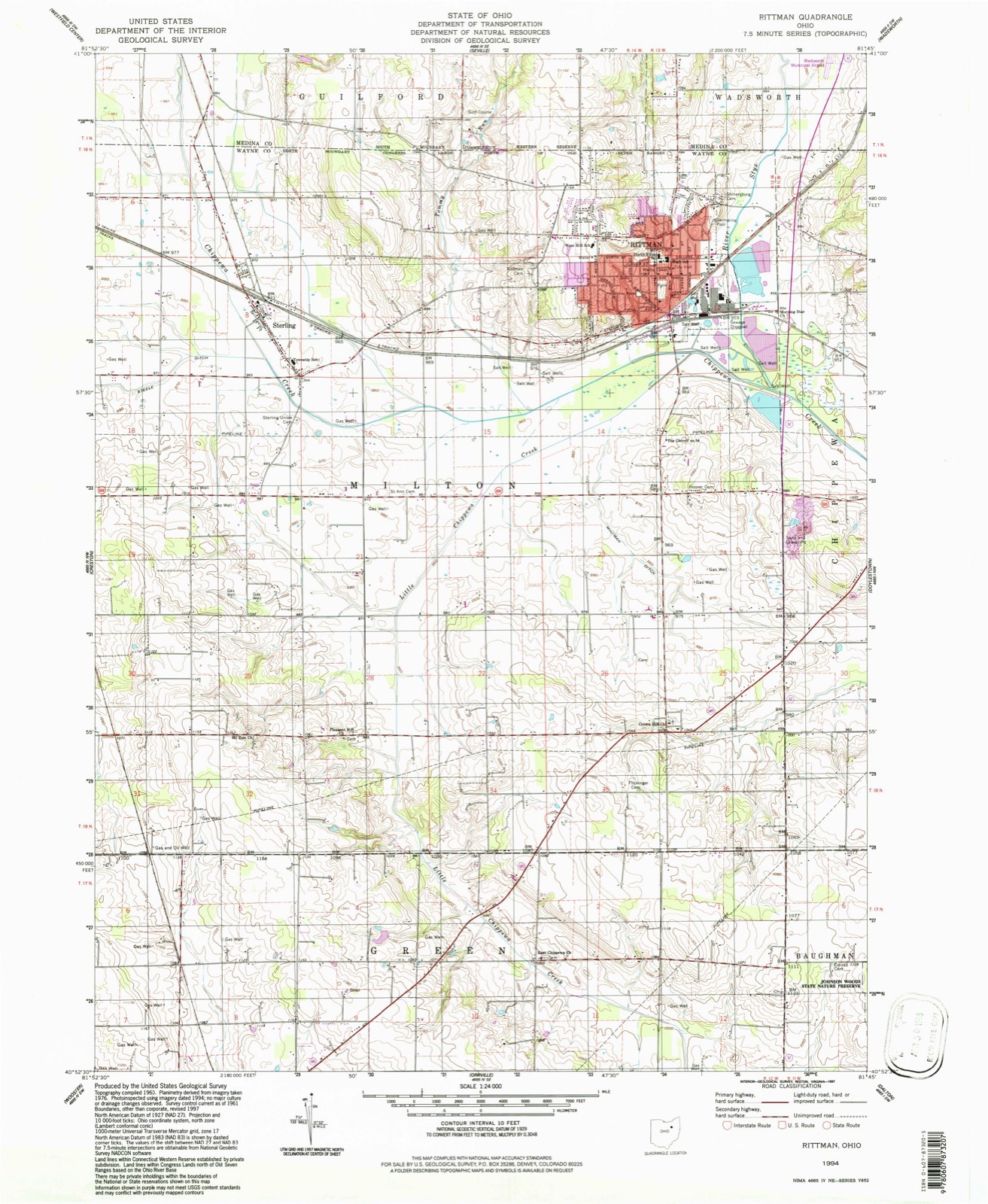
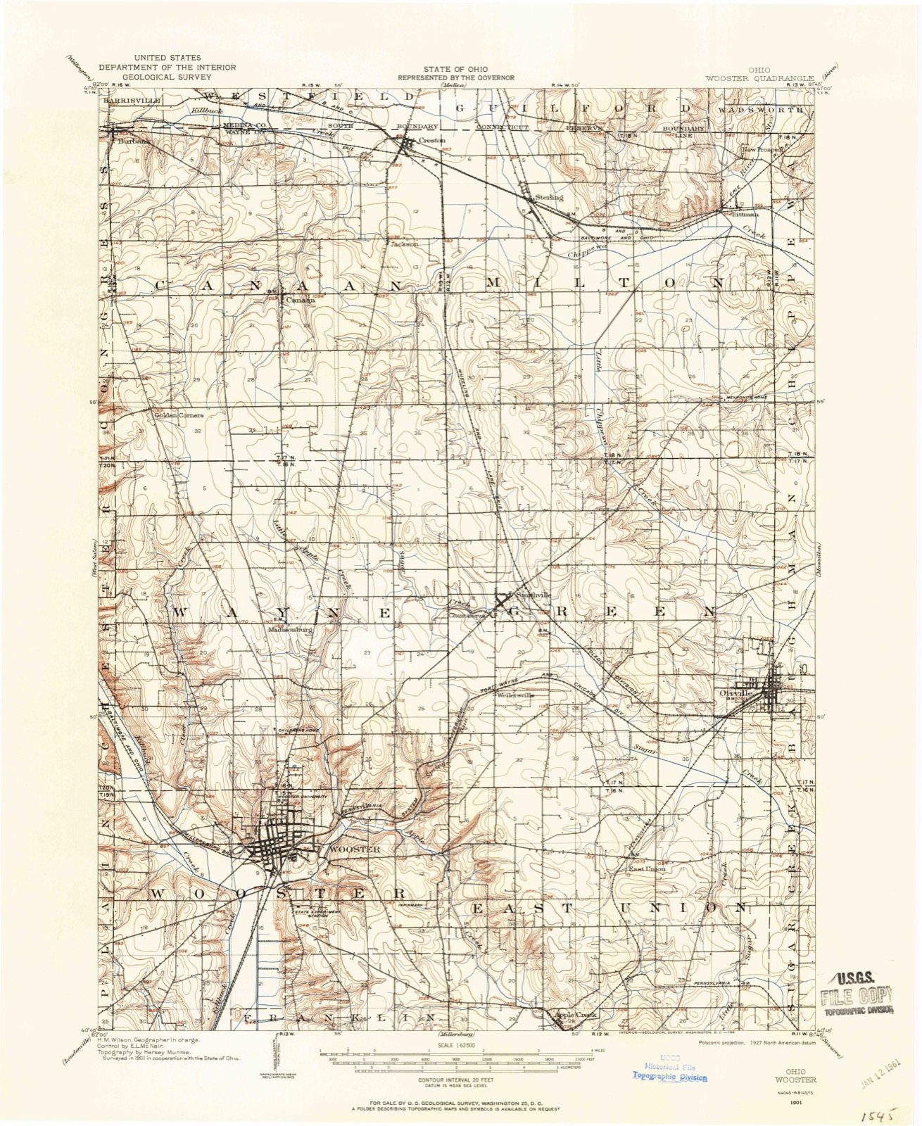
16 topographic sheets cover this place, the earliest surveyed in 1901 and the latest in 1994. It stands in Milton Township. It lies in ZIP code area 44276. The Survey maps it on the Rittman quadrangle.
Then and now
1901 to 1994The same ground, surveyed 93 years apart. Drag the handle to wipe between them. Both sheets are United States Geological Survey originals; neither has been altered.
Topographic sheets covering this place
9 surveys from 16 printed sheetsMatched by testing this settlement's coordinate against the published boundary of every sheet in the United States Geological Survey's historical collection. Each opens the scanned sheet at the Survey.
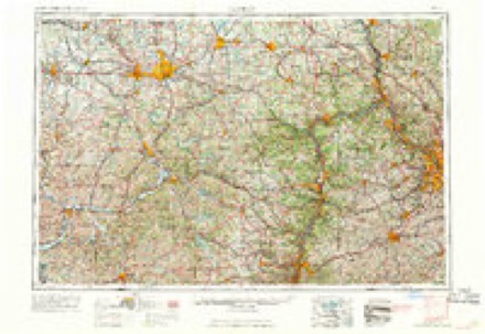
- 1901 USGS Wooster quadrangle1:62500
- 1903 USGS Wooster quadrangle1:62500, 2 printings
- 1951 USGS Canton quadrangle1:250000
- 1953 USGS Canton quadrangle1:250000
- 1957 USGS Canton quadrangle1:250000, 3 printings
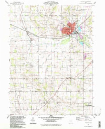
- 1961 USGS Rittman quadrangle1:24000, 3 printings
- 1962 USGS Canton quadrangle1:250000, 2 printings
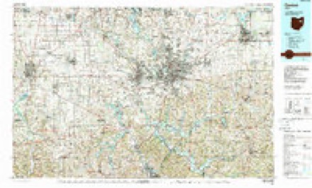
- 1986 USGS Canton quadrangle1:100000, 2 printings
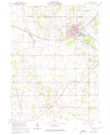
- 1994 USGS Rittman quadrangle1:24000
What happened here
An account from the chapter on Milton township. The inset identifies its exact source book and publication year.
A Reminiscence By Philip Fritz
"Adien my father removed to Milton township, in 1814, he had to cut out the road where I now live [written in 1878]. Bears, wolves, wildcats, porcupines, wild hogs, deer and turkey were plenty. We often shot the wild hogs, as they made good meat. Porcupines were numerous ; the dogs would attack them and we would pull out the quills with bullet-moulds.
In the county-history sources
1,517 words on this townshipHistory of Wayne County, Ohio, published 1910 has no passage naming this settlement, which was common for smaller places. Its township is covered in full.
The chapter on Milton Township covers the township.
Read the chapter on Milton Township - 1,517 words.
Fires near this place
1 since 2002Regional context, not property-specific evidence. The federal wildfire occurrence database lists 1 fire within 5 miles of Johnsons Corners in 2002, burning under an acre in total. None started naturally. None was recorded as arson. Distance is straight-line from the map coordinates, so a fire counted here may appear on a neighbouring settlement's page as well.
| Reported cause | Fires |
|---|---|
| Missing data/not specified/undetermined | 1 |
The most recent of them, most recent first, with the day each was reported and the service that recorded it.
| Date | Cause | Size | Reported by | Name on the report |
|---|---|---|---|---|
| 19 March 2002 | Missing data/not specified/undetermined | under an acre | Ohio State Fire Marshal's Office | not named |
Settlements close enough to share some of these fires:
Specimens collected near this place
12 of 262 shownRegional context, not property-specific evidence. Museums hold 262 specimens collected within 10 miles of Johnsons Corners between 1889 and 1975: 226 Animalia, 27 Plantae, 7 Fungi, 2 Chromista. 12 distinct Species records are shown. Collected by A C ALLEN, B. Montgomery & J. Houser, Bruce Fink and others. Each is a physical object with a catalogue number, and each entry opens the museum's record. This is what was collected and kept, not a survey of what lives here - nothing can be concluded from a species being absent.
| Image | Species | Year | Collected by | Where, as recorded |
|---|---|---|---|---|
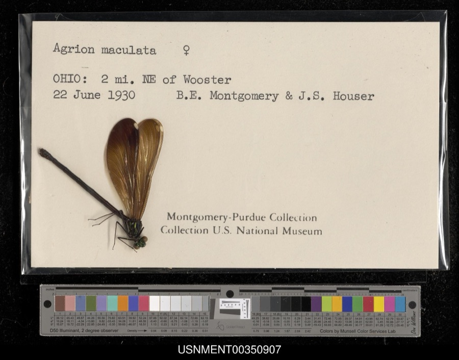 | Calopteryx maculata (Palisot de Beauvois, 1807) | 1930 | B. Montgomery & J. Houser | 2 miles northeast of Wooster |
 | Chelidon Forster, 1817 | 1889 | Hine, J. S. (James Stewart) | Wooster, Wayne, Ohio, USA |
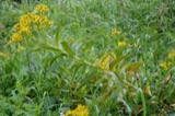 | Coleosporium solidaginis (Schwein.) Thüm. | 1891 | Selby A. D. | Wayne Co. |
 | Chaetura pelagica (Linnaeus, 1758) | 1893 | Hine, J. S. (James Stewart) | Wooster, Wayne, Ohio, USA |
 | Icteria virens virens (Linnaeus, 1758) | 1893 | Hine, J. S. (James Stewart) | Wooster, Wayne, Ohio, USA |
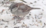 | Passer domesticus (Linnaeus, 1758) | 1893 | Hine, J. S. (James Stewart) | Wooster, Wayne, Ohio, USA |
 | Pooecetes gramineus (J.F.Gmelin, 1789) | 1893 | Hine, J. S. (James Stewart) | Wooster, Wayne, Ohio, USA |
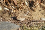 | Spizella pusilla (A.Wilson, 1810) | 1893 | Hine, J. S. (James Stewart) | Wooster, Wayne, Ohio, USA |
 | Thryomanes bewickii (Audubon, 1827) | 1893 | Hine, J. S. (James Stewart) | Wooster, Wayne, Ohio, USA |
 | Tyrannus tyrannus (Linnaeus, 1758) | 1893 | Hine, J. S. (James Stewart) | Wooster, Wayne, Ohio, USA |
 | Cercosporina apii (Fresen.) Miura | 1896 | Selby A. D. | Creston |
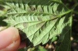 | Pseudoperonospora cubensis (Berk. & M.A.Curtis) Rostovzev | 1897 | Selby, A. D. | Creston |
All 262 specimens within 10 miles, at the Global Biodiversity Information Facility.
Mines and quarries near this place
5 within 5 milesRegional context, not property-specific evidence. The federal mineral resources record lists 5 workings within 5 miles of Johnsons Corners: 4 past producers, 1 plant. 1 still produces. What was taken out: Sand and Gravel, Construction. Distance is straight-line from the map coordinates, so a quarry counted here may appear on a neighbouring settlement's page as well.
| Where | Site | Commodity | Status | Recorded |
|---|---|---|---|---|
| Keiper Pit | Sand and Gravel, Construction | Past Producer | Sedimentary | |
| Keiper Pit | Sand and Gravel, Construction | Past Producer | ||
| Silchuk Pit | Sand and Gravel, Construction | Past Producer | Sedimentary | |
| Silchuk Pit | Sand and Gravel, Construction | Past Producer | ||
| Zollinger Pit & Mill | Sand and Gravel, Construction | Plant |
Nearest settlements
The eight closest, with where each one stands in the county. Distances are straight-line, computed from the Geographic Names Information System coordinates.
| Map | Place | Distance | Sheets |
|---|---|---|---|
| Sterling | 0.6 miles | 16 | |
| Jackson | 3.1 miles | 16 | |
| Creston | 3.3 miles | 16 | |
| Rittman | 3.4 miles | 16 | |
| Douglas (historical) | 3.4 miles | 16 | |
| Indian Head Village | 3.9 miles | 16 | |
| Hermanville | 4.8 miles | 16 | |
| Canaan | 5.1 miles | 16 |
Provenance
This settlement is recorded in the Geographic Names Information System as feature 1067272. The sheet list is computed by point-in-boundary test against the United States Geological Survey's historical topographic inventory. Both are works of the United States government and carry no copyright under 17 U.S.C. 105.
Wildfire. Short, Karen C. 2022. Spatial wildfire occurrence data for the United States, 1992-2020 [FPA_FOD_20221014]. 6th Edition. Fort Collins, CO: Forest Service Research Data Archive. https://doi.org/10.2737/RDS-2013-0009.6 Collected with United States Government funding and usable without additional permissions or fees.
Specimens. Global Biodiversity Information Facility (GBIF), https://www.gbif.org/. Only records licensed CC0 or CC BY are used. Records licensed CC BY-NC are excluded because this site carries advertising. Images are checked individually and any whose licence is non-commercial, no-derivatives or unreadable is refused.
Mines and quarries. USGS Mineral Resources Data System (MRDS) https://mrdata.usgs.gov/mrds/ A work of the United States government, no copyright under 17 U.S.C. 105.