Listed on the National Register of Historic Places in
1974. A historic map-sheet match is not published yet. The record needs a coordinate-quality review before it can be joined to a sheet boundary.
From the record
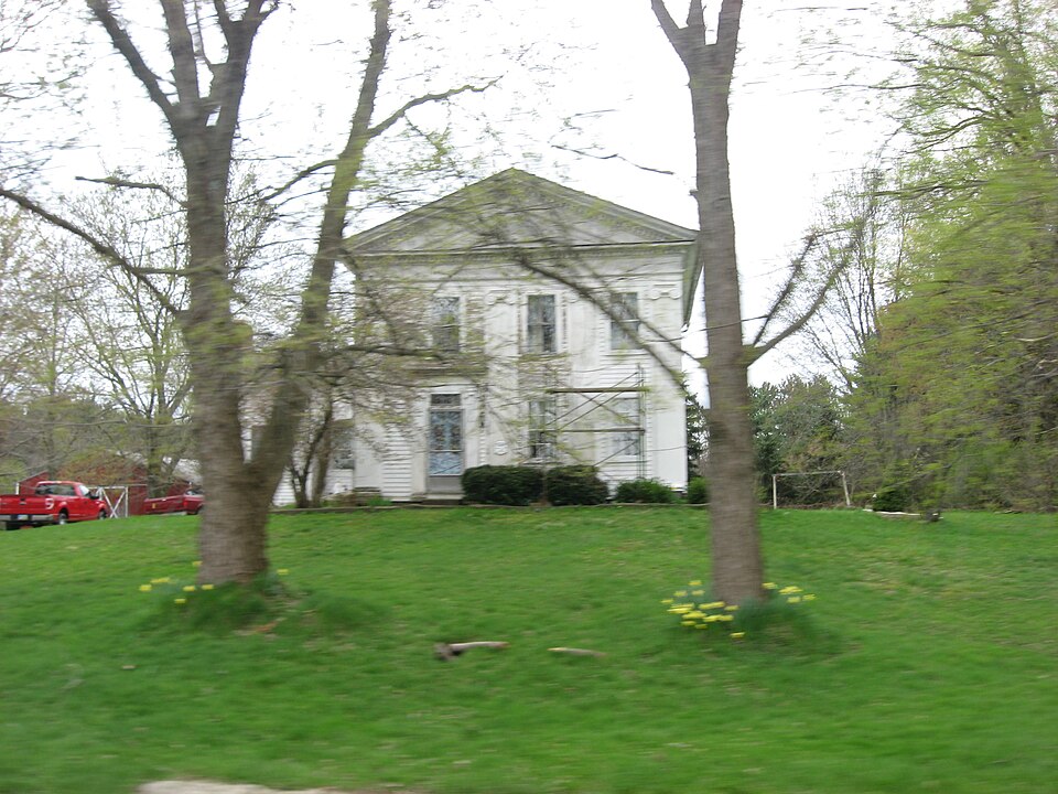
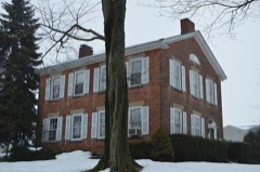
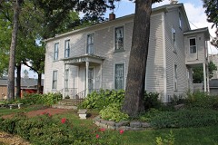
“The Lot Hathaway House is a historic residence near East Claridon in the Connecticut Western Reserve region of the U.S. state of Ohio. Constructed in the early nineteenth century for a transplanted New Englander, the house mixes two of the period's prominent architectural styles, and it has been named a historic site.”
Wikipedia article Lot Hathaway House, CC BY-SA 4.0.
one of 11 National Register listings in Geauga County · listed in 1974 · category: Building.
National Register reference number.74001504- the number the National Park Service assigned this property when it was listed, and the key its nomination file is catalogued under at the National Archives.
What happened here
An account from the chapter on Claridon township, The inset identifies its exact
source book and publication year.
Until most of the wild animals were killed or driven away, the men and boys had generally a good rifle, and knew how to use them in killing small game, such as squirrels, partridges, and turkeys. To mutilate their bodies subjected such hunters to ridicule as being "greenhorns." The bullets of experts took effect only on the head of their game.
Mr. Bushnell sold his farm to Oliver Merritt, from Connecticut, and took part of lot three, section ten, being more than a mile south of East Claridon. There he erected another dish-mill, cleared up his farm, erected good buildings, opened his house to the public as a tavern (there being at that time a great amount of travel), hauling wheat and flour to the lake from Trumbull and other counties south. He died in 1854. The Bushnell farm is now in possession of Almond Knapp, esq., one of the magistrates of this town.
A school-district had been formed west of the Cuyahoga, one at Kellogg's comers, and one on the State road, now East Claridon. A log school-house was put up west of the river in 1812, and Ralph Cowles taught the first school
Regional context, not property-specific
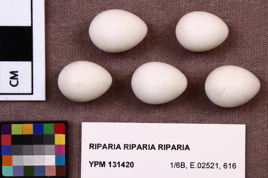
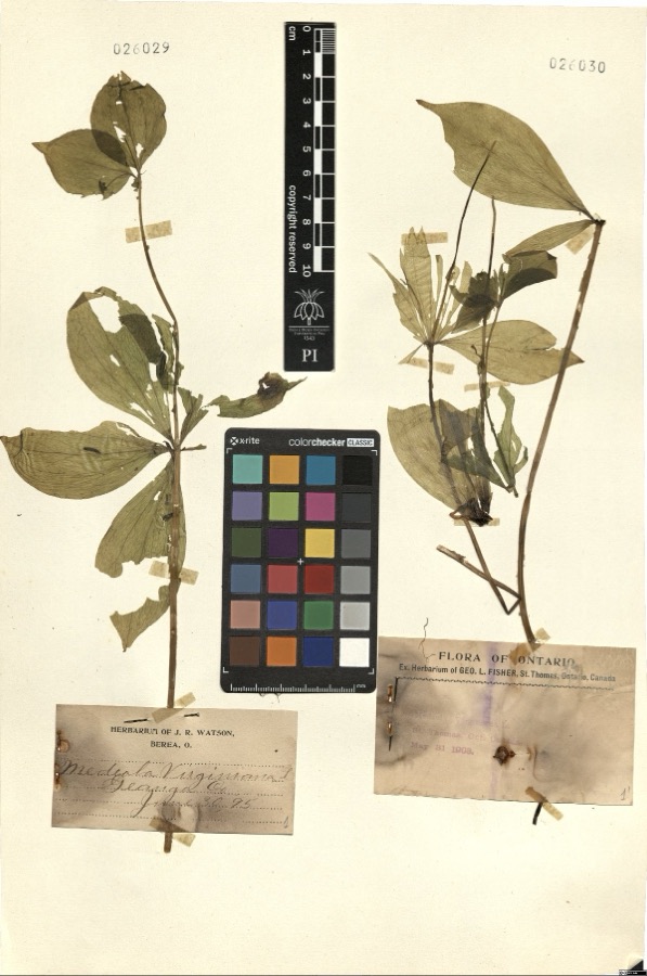
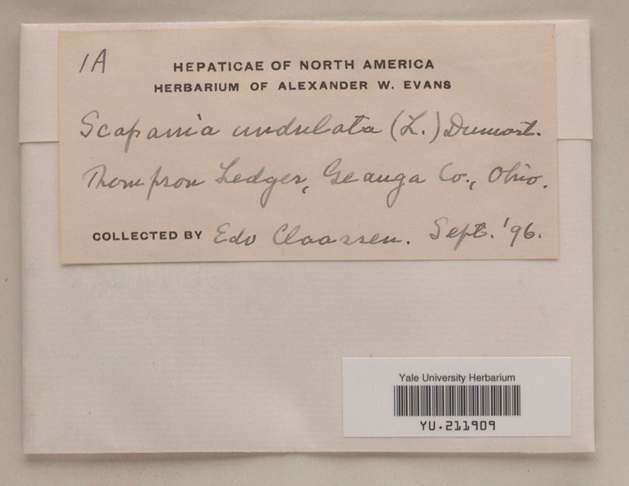
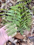
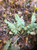
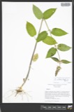
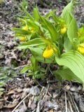
evidence. Museums hold 754 specimens
collected within 10 miles of Hathaway, Lot, House between 1887 and
1975: 641 Animalia, 106 Plantae, 7 Fungi. 12 distinct Species records are shown.
Collected by A. M. Evans, A. N. Rood, A.E. Daugherty and others. Each is a
physical object with a catalogue
number, and each entry opens the museum's record. This is what was
collected and kept, not a survey of what lives here - nothing can be
concluded from a species being absent.
Regional context, not property-specific
evidence. The federal mineral resources record lists
2 workings within 5 miles of Hathaway, Lot, House: 1 past producer, 1 plant.
1 still produces. What was taken out: Stone, Crushed/Broken. Distance is straight-line from the
map coordinates, so a quarry counted here may appear on a neighbouring
settlement's page as well.
Regional context, not property-specific
evidence. The National Weather Service names
East Claridon, the town this property stands in, in 3 storm reports between 2011 and 2024: 2 thunderstorm wind, 1 hail.
No death or injury is recorded in these reports. Each account below is quoted exactly as the forecast office
filed it, from the NOAA Storm Events Database, and each date
opens the federal record of that event.
No historic map-sheet match is published
for this property yet. That does not mean no map exists. This record needs
a coordinate-quality review before it can be joined to a sheet boundary.
Browse the county's mapped places while that work is
pending.
From the nomination file
1,688 words on record
When this property was proposed for the
National Register, someone wrote the case for it: what the building is,
and why it matters. That document is a federal record in the public domain.
It is quoted below word for word, never summarised. The text was read off the scanned case file by machine, so the
occasional stray character is the recogniser's and the 1970s
typewriter's.
Statement of significance
The house was the home of Lot Hathaway, a former right, whatever the popular voice might be. " between 1830 and 1835 is more likely, because of other JUL 2 1974 Commerce Conservation Communications Engineering Transportation Military REGISTER losophy NATIONAL SIGNIFICANCE Invention Landscape Theater Literature present owner. Music Prehistoric Industry Education Sculpture itarian Aboriginal "Mr.
Hathaway was very opinionated in what he thought was Greek Revival house suggesting the temple front character- Agriculture Social/Human- sailor on the East coast, who came to Ohio from Freetown, comparable work in the region and the type of patterns The traditional date of the house is given as 1828,but This house is an unusually fine example of an early is no older than twenty years, having been given by the Religion/Phi. the boldness of the Ionic capitals suggests that a date istic of the style. "expeditions" to European ports. He arrived in Ohio unmarried, Massachusetts, in 18l6. He served as a mate on several Art and soon married Orpha Bushnell.A county history says, in common use.The popular name of the house, "Ionia," AREAS OF SIGNIFICANCE (Check One or More as Appropriate)
Quoted from the National Register nomination
for reference 74001504, 11 pages, held by the National Archives in Record
Group 79. See the
catalogue record.
Listed places nearby
6 within 8 miles
Other National Register properties close
enough to walk or drive between, ordered by distance from this one. Both
positions come from the same geocoding pass that matched these properties
to their map sheets.
Listing record. National Park Service National Register of Historic Places, listed-properties dataset, current to 2026-05-22.
Map join. Address geocoded through the United States Census geocoder, then tested against the published boundary of every sheet in the USGS Historical Topographic Map Collection.
How this page is made. Listing fields come from federal records; map-sheet coverage is a labelled coordinate-to-boundary calculation, not a source-field claim.
Specimens. Global Biodiversity Information Facility (GBIF), https://www.gbif.org/. Only records licensed CC0 or CC BY are used. Records licensed CC BY-NC are excluded because this site carries advertising. Images are checked individually and any whose licence is non-commercial, no-derivatives or unreadable is refused.
Mines and quarries. USGS Mineral Resources Data System (MRDS) https://mrdata.usgs.gov/mrds/ A work of the United States government, no copyright under 17 U.S.C. 105.
Storms. NOAA National Centers for Environmental Information, Storm Events Database https://www.ncei.noaa.gov/stormevents/ A work of the United States government, no copyright under 17 U.S.C. 105. Narratives are quoted verbatim from the National Weather Service report and are not edited or summarised.
 Block
Block