 Block
El Grande Estates, Ohio
13 topographic sheets cover this place, the earliest surveyed in 1914 and the latest in 1986. It stands in Hicksville Township. It lies in ZIP code area 43526. The Survey maps it on the Hicksville quadrangle.
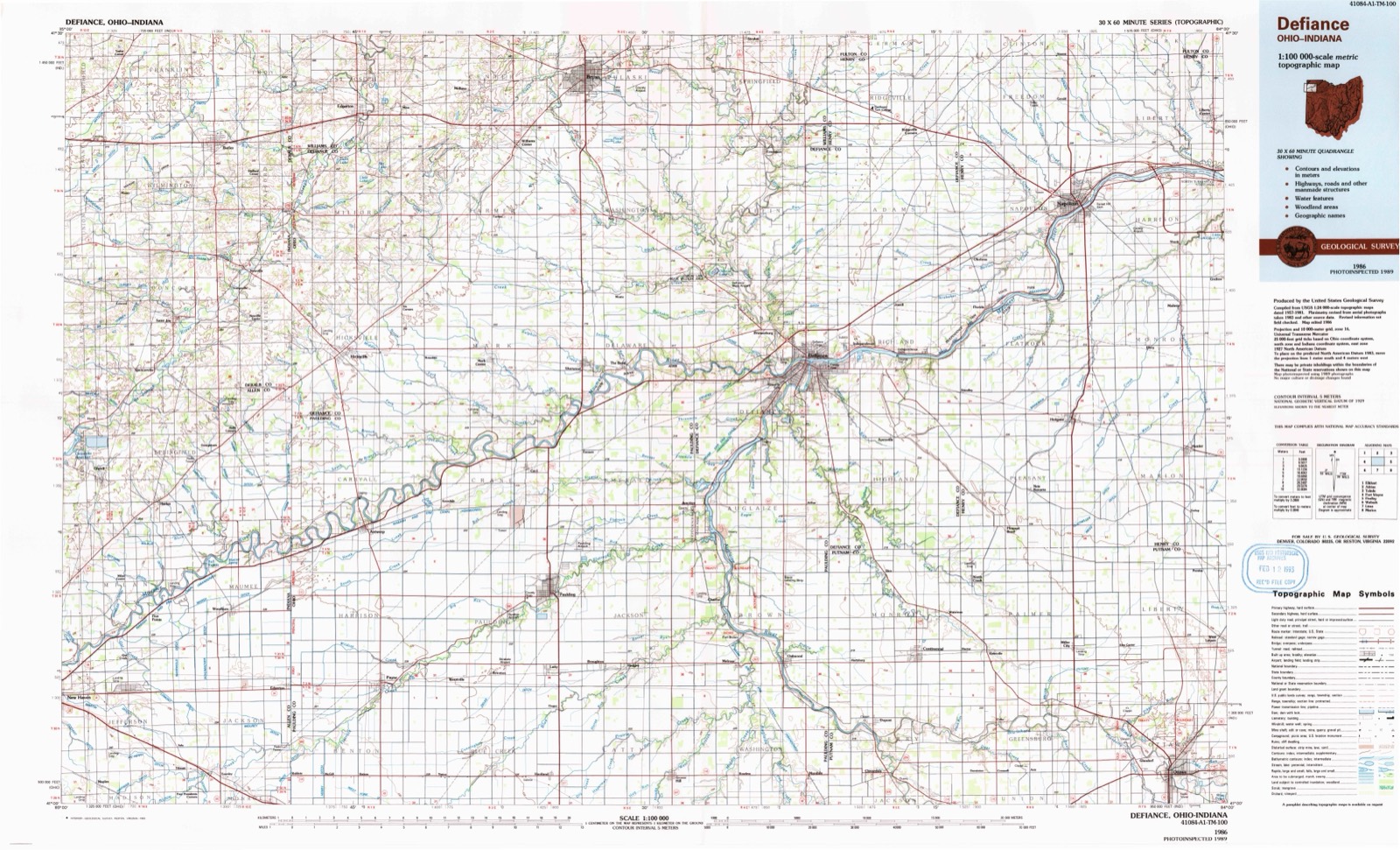
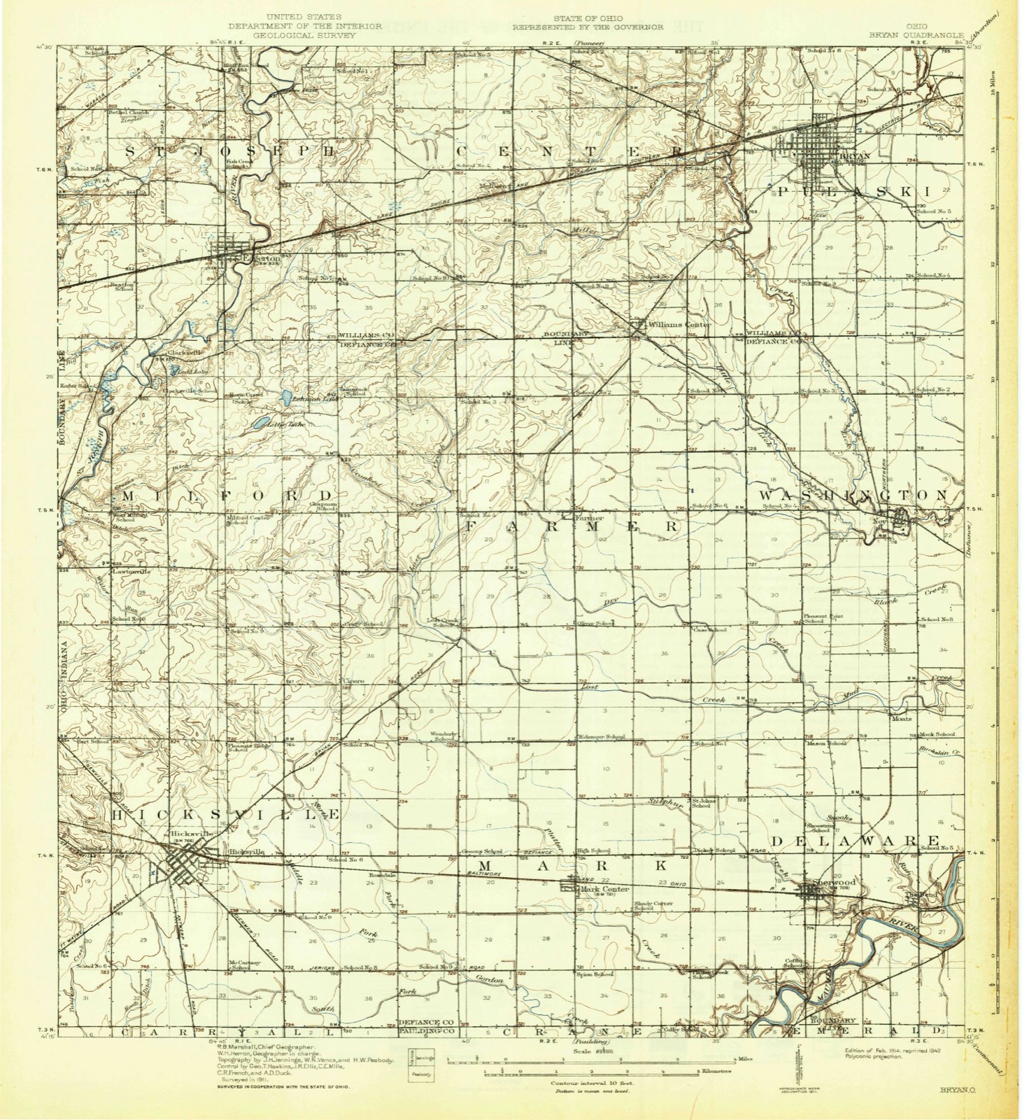
Then and now
1914 to 1986The same ground, surveyed 72 years apart. Drag the handle to wipe between them. Both sheets are United States Geological Survey originals; neither has been altered.
On record in El Grande Estates
Buildings and businesses the archive holds for this place. Each opens its own page, with the source record it came from.
On the National Register within a mile 1 record
The National Register names another town for these. They stand within one mile of this settlement's coordinate.
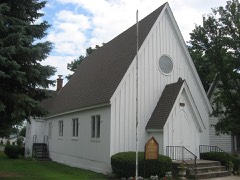 St. Paul's Episcopal Churchlisted 1976 · 0.7 miles away
Topographic sheets covering this place
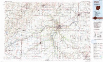
6 surveys from 13 printed sheetsMatched by testing this settlement's coordinate against the published boundary of every sheet in the United States Geological Survey's historical collection. Each opens the scanned sheet at the Survey.
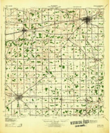
- 1914 USGS Bryan quadrangle1:62500
- 1943 USGS Bryan quadrangle1:62500
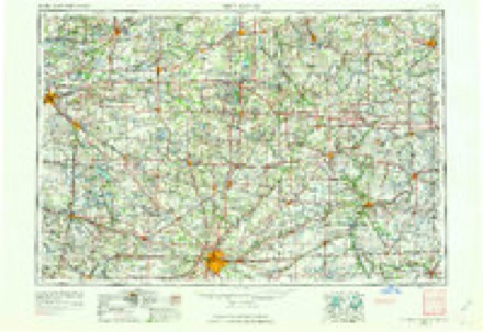
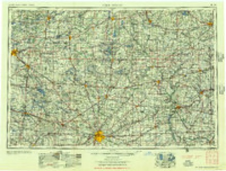
- 1953 USGS Fort Wayne quadrangle1:250000, 4 printings
- 1956 USGS Fort Wayne quadrangle1:250000, 2 printings
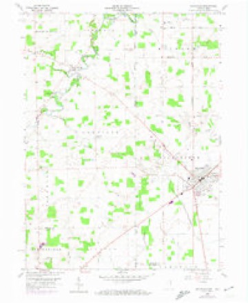
- 1958 USGS Hicksville quadrangle1:24000, 4 printings
- 1986 USGS Defiance quadrangle1:100000
In the county-history sources
83,706 words on this townshipHistory of Defiance County, Ohio. Containing a History of the County; Its Townships, Towns, Etc.; Military Record; Portraits of Early Settlers and Prominent Men; Farm Views, Personal Reminiscences, Etc, published 1883; History of Defiance County, Ohio, published 1883 has no passage naming this settlement, which was common for smaller places. Its township is covered in full.
The chapter on Hicksville Township covers the township.
Read the chapter on Hicksville Township - 83,706 words.
Specimens collected near this place
12 of 545 shownRegional context, not property-specific evidence. Museums hold 545 specimens collected within 10 miles of El Grande Estates between 1860 and 1973: 545 Animalia. 12 distinct Species records are shown. Collected by D. Jordan et al., Ehrhart, O. E., GEO MOORE and others. Each is a physical object with a catalogue number, and each entry opens the museum's record. This is what was collected and kept, not a survey of what lives here - nothing can be concluded from a species being absent.
| Image | Species | Year | Collected by | Where, as recorded |
|---|---|---|---|---|
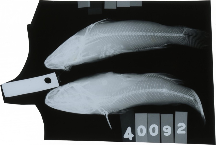 | Ameiurus melas (Rafinesque, 1820) | 1888 | S. Meek | Gordon Creek, Cicero, Ohio |
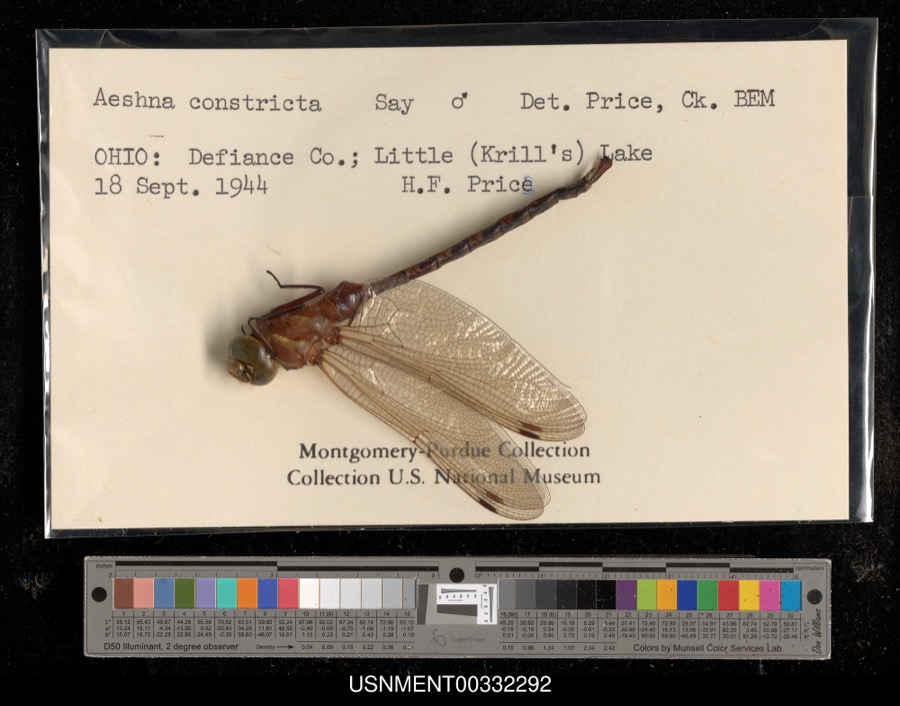 | Aeshna constricta Say, 1840 | 1944 | H. Price | Little (Krill's) Lake |
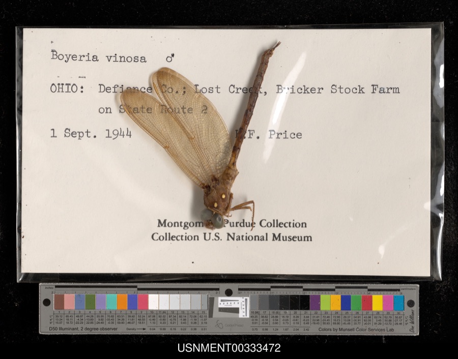 | Boyeria vinosa (Say, 1840) | 1944 | H. Price | Lost Creek, Bricker Stock Farm on State Route 2 |
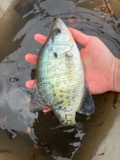 | Pomoxis annularis Rafinesque, 1818 | 1860 | unknown | Hicksville |
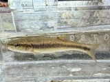 | Semotilus atromaculatus (Mitchill, 1818) | 1860 | unknown | Hicksville |
 | Ericymba buccata Cope, 1865 | 1884 | S. Meek | Hicksville, Ohio |
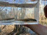 | Etheostoma nigrum Rafinesque, 1820 | 1884 | S. Meek | Hicksville, Ohio |
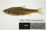 | Notropis cornutus (Mitchill, 1817) | 1884 | S. Meek | Hicksville, Ohio |
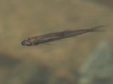 | Notropis heterolepis Eigenmann & Eigenmann, 1893 | 1884 | S. Meek | Hicksville, Ohio |
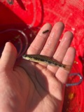 | Percina maculata (Girard, 1859) | 1884 | S. Meek | Hicksville, Ohio |
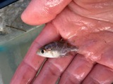 | Ambloplites rupestris (Rafinesque, 1817) | 1888 | S. Meek | Gordon Creek, Cicero, Ohio |
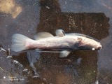 | Ameiurus nebulosus (Lesueur, 1819) | 1888 | S. Meek | Gordon Creek, Cicero, Ohio |
All 545 specimens within 10 miles, at the Global Biodiversity Information Facility.
Nearest settlements
The eight closest, with where each one stands in the county. Distances are straight-line, computed from the Geographic Names Information System coordinates.
| Map | Place | Distance | Sheets |
|---|---|---|---|
| Hicksville | 0.9 miles | 13 | |
| Six Corners | 4.4 miles | 11 | |
| Rosedale | 4.5 miles | 11 | |
| Logan | 5.0 miles | 11 | |
| Cicero (historical) | 5.1 miles | 11 | |
| Lawtonville (historical) | 5.8 miles | 13 | |
| Wilseyville (historical) | 7.1 miles | 11 | |
| Mark Center | 7.6 miles | 11 |
Elsewhere
Matched on this settlement's Geographic Names Information System number rather than its name, so it cannot be a different place of the same name in another state.
| Wikidata item Q122589898 | The structured record the population and elevation above come from. Public domain (CC0). |
Provenance
This settlement is recorded in the Geographic Names Information System as feature 2680198. The sheet list is computed by point-in-boundary test against the United States Geological Survey's historical topographic inventory. Both are works of the United States government and carry no copyright under 17 U.S.C. 105.
Specimens. Global Biodiversity Information Facility (GBIF), https://www.gbif.org/. Only records licensed CC0 or CC BY are used. Records licensed CC BY-NC are excluded because this site carries advertising. Images are checked individually and any whose licence is non-commercial, no-derivatives or unreadable is refused.