 Block
Block
Macksburg, Ohio
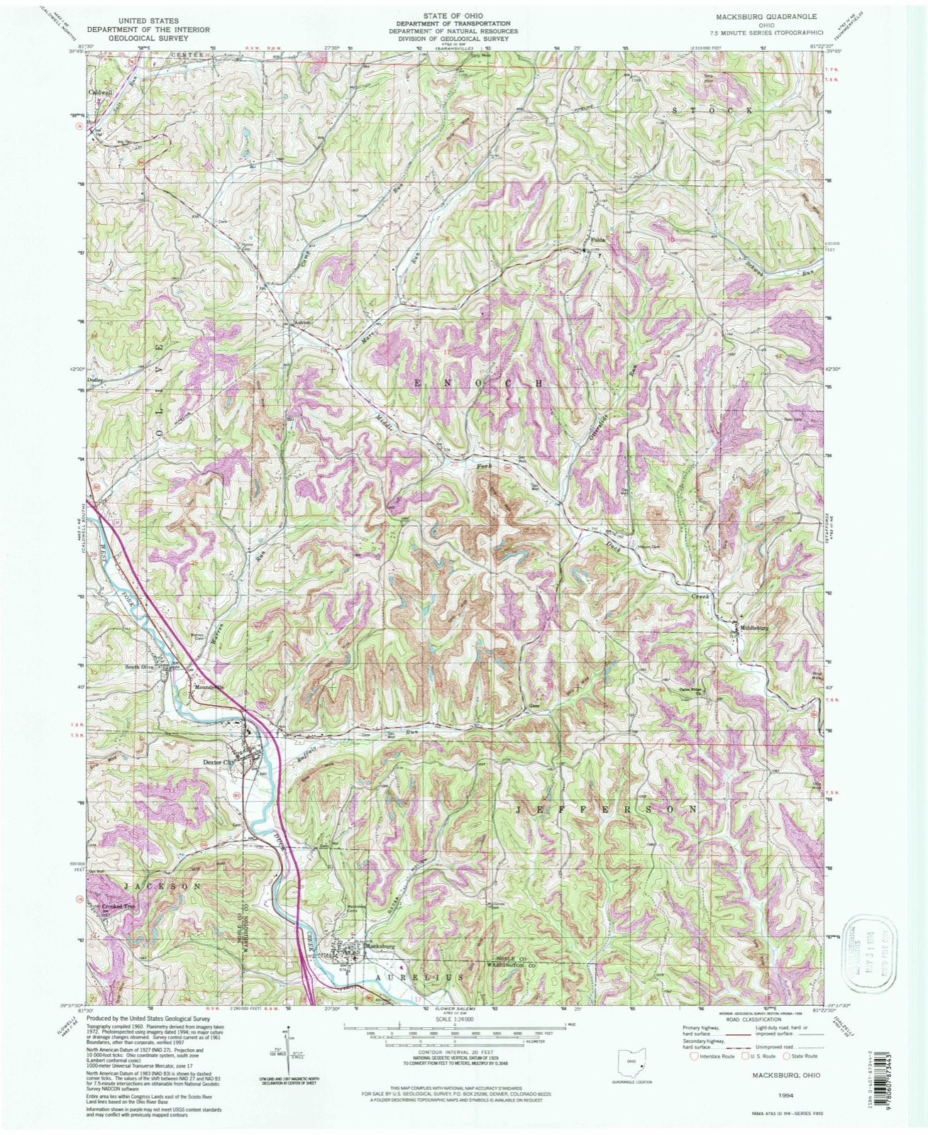
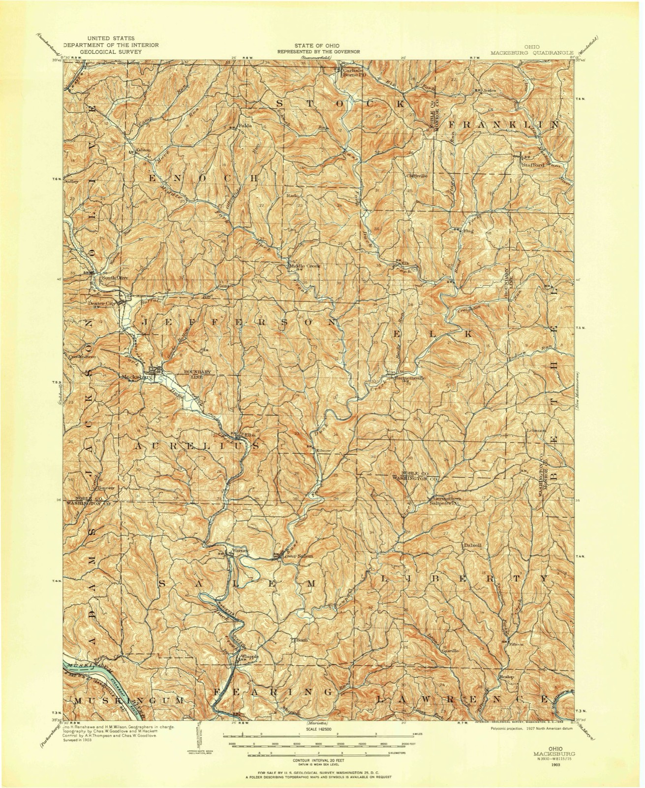
13 topographic sheets cover this place, the earliest surveyed in 1903 and the latest in 1994. It stands in Aurelius Township. It lies in ZIP code area 45746. The Survey maps it on the Macksburg quadrangle. 120 people lived here at the 2020 count. It stands 702 feet above sea level.
Population over time
2 figuresMacksburg fell from 186 to 120 between 2010 and 2020. These are the recorded population figures Wikidata holds for this place, reached through the Geographic Names Information System number this page is keyed on rather than by name, so they belong to this place and not to another of the same name. Most are census counts, but not all are: an early figure may be a founding or settlement estimate. The change column is computed, and is left blank where more than 20 years separate a figure from the one before it, because a gap that long is not a change between two counts.
| Year | People | Change |
|---|---|---|
| 2010 | 186 | |
| 2020 | 120 | -66 (-35%) |
Then and now
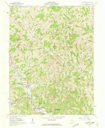
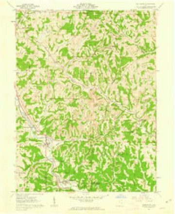
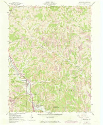
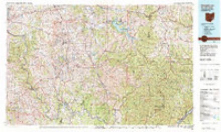
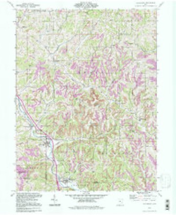
1903 to 1994The same ground, surveyed 91 years apart. Drag the handle to wipe between them. Both sheets are United States Geological Survey originals; neither has been altered.
Compare 1903 against another survey:
Topographic sheets covering this place
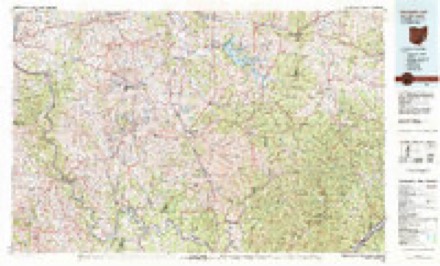
13 sheetsMatched by testing this settlement's coordinate against the published boundary of every sheet in the United States Geological Survey's historical collection. Each opens the scanned sheet at the Survey.
- 1903 USGS Macksburg quadrangle1:62500
- 1905 USGS Macksburg quadrangle1:62500
- 1949 USGS Clarksburg quadrangle1:250000
- 1956 USGS Clarksburg quadrangle1:250000
- 1956 USGS Clarksburg quadrangle1:250000
- 1961 USGS Clarksburg quadrangle1:250000
- 1961 USGS Macksburg quadrangle1:24000
- 1961 USGS Macksburg quadrangle1:24000
- 1961 USGS Macksburg quadrangle1:24000
- 1980 USGS Senecaville quadrangle1:100000
- 1980 USGS Senecaville Lake quadrangle1:100000
- 1988 USGS Clarksburg quadrangle1:250000
- 1994 USGS Macksburg quadrangle1:24000





In the county-history sources
8,464 words on this townshipHistory of Washington County, Ohio, published 1881 names this settlement in its chapter on Aurelius Township. These are the passages that mention it, exactly as the scans read.
John Smithson, John Hutchins, John Corp, 1848; John Low, 1849; John Smithson, James Weeks, Joseph Wallace, 1850; John Smithson, A. G. Grubb, Ely Vaughn, 1851; John Smithson, A. G. Grubb, Ely Vaughn, May 30, 1851, James W. Smith, I. T. Lund, William Rayley, 1852; James W. Smith, John Hutchins, Joseph Gatwood, 1853; Hanson Dutton, I. T. Lund, J. Ward, 1854; I. T. Lund, Hanson Dutton, Calvin Burt, 1855; G. W. St. John, Hanson Dutton, Calvin Burt, 1856; G. W. St. John, I. T. Lund, George Wickens, 1857; J. Hutchins, J. Zollers, George Wickens, 1858; Hanson Dutton, J. Zollers, George Wickens, 1859; A. T. Warren, John Ward, I. Atkinson, 1860; George Wickens, I. I. Dutton, T. J. Berkely, 1861; George Wickens, I. I. Dutton, R. Dilly, 1862; Joseph Dixon, I. T. Lund, R. Dilly, 1863; Joseph Dixon, Abram Dilly, R. Dilly, 1864; Joseph Dixon, T. J. Delong, R. Dilly, 1865, J. V. Davis, Owen Barnes, R. Dilly, 1866; Hanson Dutton, J. Hutchins, Joseph Dixon, 1867; Theo. Gevrez, I. T. Lund, (died) Simeon Blake, J. W. Smith, 1868; Theo. Gevrez, Joseph Dixon, James Briggs, 1869; Theo. Gevrez, Joseph Dixon, James W. Smith, 1870; Theo. Gevrez, William R. Dutton, James W. Smith, 1871; Theo. Gevrez, William R. Dutton, James W. Smith, 1872; Theo. Gevrez, Joseph Dixon, H. G. Jackson, 1873; A. Dutton, Joseph Dixon, H. G. Jackson, 1874; A. Dutton, Joseph Dixon, John Smith, 1875; Henry Mickens, Daniel J. Ward, J. S. Snyder, 1876; Charles Schimmel, J. Dixon, H. M. Cox, 1877; John Smith, J. F. Briggs, H. M. Cox, 1878; John Smith, J. F. Briggs, Charles Schimmel, 1879; John Smith, J. F. Briggs, J. F. Ayres, 1880.
Passage source: History of Washington County, Ohio, published 1881.
Machine-read from a century-old scan, so expect the errors a machine makes: misspelled names, dropped words, stray characters.
Read the whole chapter on Aurelius Township - it names this place 1 more 1 time.
Fires near this place
2 since 2016Regional context, not property-specific evidence. The federal wildfire occurrence database lists 2 fires within 5 miles of Macksburg between 2016 and 2018, burning about 0 acres in total. None started naturally. None was recorded as arson. Distance is straight-line from the map coordinates, so a fire counted here may appear on a neighbouring settlement's page as well.
| Reported cause | Fires |
|---|---|
| Smoking | 1 |
| Equipment and vehicle use | 1 |
The most recent of them, most recent first, with the day each was reported and the service that recorded it.
| Date | Cause | Size | Reported by | Name on the report |
|---|---|---|---|---|
| 12 April 2018 | Equipment and vehicle use | under an acre | Ohio Department of Natural Resources | 13585 |
| 18 March 2016 | Smoking | under an acre | Ohio Department of Natural Resources | 3810 |
Settlements close enough to share some of these fires:
Specimens collected near this place
12 of 315 shownRegional context, not property-specific evidence. Museums hold 315 specimens collected within 10 miles of Macksburg between 1853 and 1973: 285 Animalia, 26 Plantae, 4 Fungi. 12 distinct Species records are shown. Collected by A. D. Selby, Albert Hazen Wright, B. P. Story and others. Each is a physical object with a catalogue number, and each entry opens the museum's record. This is what was collected and kept, not a survey of what lives here - nothing can be concluded from a species being absent.
| Image | Species | Year | Collected by | Where, as recorded |
|---|---|---|---|---|
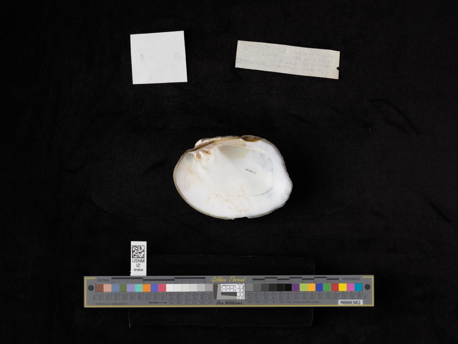 | Amblema plicata (Say, 1817) | 1965 | D. Stansbery & R. Johnson | Muskingham River, Lowell |
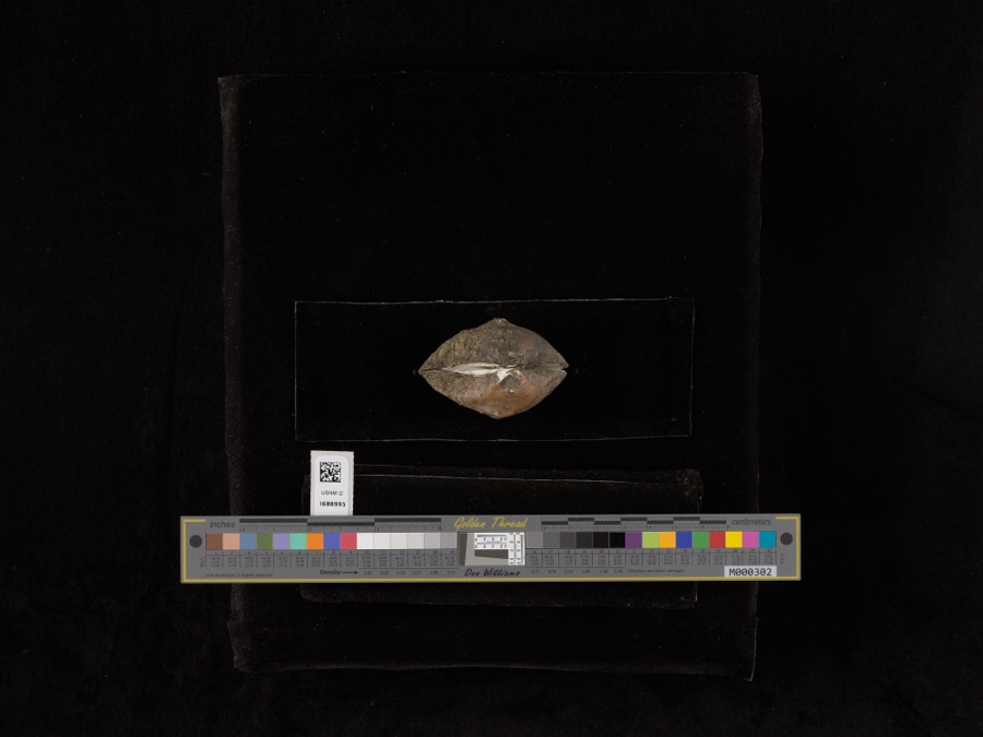 | Obliquaria reflexa Rafinesque, 1820 | 1965 | D. Stansbery & R. Johnson | Muskingum River |
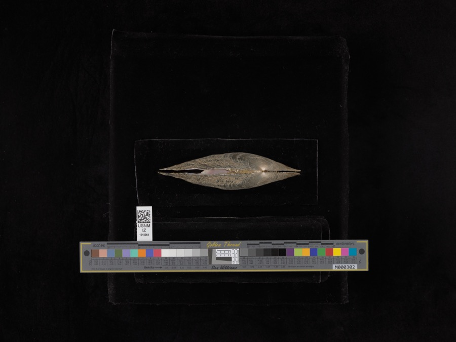 | Proptera alata (Say, 1817) | 1965 | D. Stansbery & R. Johnson | Muskingham River, Lowell |
 | Anaxyrus americanus (Holbrook, 1836) | 1853 | not recorded | Marietta |
 | Anaxyrus fowleri (Hinckley, 1882) | 1853 | not recorded | Marietta |
 | Diadophis punctatus (Linnaeus, 1766) | 1853 | not recorded | Marietta |
 | Graptemys geographica (Lesueur, 1817) | 1853 | not recorded | Marietta |
| Liochlorophis vernalis (Harlan, 1827) | 1853 | not recorded | Marietta | |
 | Thamnophis Fitzinger, 1843 | 1853 | not recorded | Marietta |
 | Cryptobranchus alleganiensis (Sonnini de Manoncourt & Latreille, 1801) | 1883 | Albert Hazen Wright | Marietta |
 | Trillium sessile L. | 1884 | None | Macksburg |
 | Eragrostis hypnoides (Lam.) Britton, Sterns & Poggenb. | 1896 | A. D. Selby | Rainbow. |
All 315 specimens within 10 miles, at the Global Biodiversity Information Facility.
Storms near this place
57 since 2013Regional context, not property-specific evidence. The National Weather Service names Macksburg in 57 storm reports between 2013 and 2026: 52 flood, 3 flash flood, 1 hail, 1 tornado. No death or injury is recorded in these reports. Each account below is quoted exactly as the forecast office filed it, from the NOAA Storm Events Database, and each date opens the federal record of that event.
| When | Event | Place named | Harm | What the report says |
|---|---|---|---|---|
| December 2013 | Flood | Macksburg | $5,000 | Some minor flooding occurred in eastern Washington County along Duck Creek and the Little Muskingum River on the 22nd. The gauge at Bloomfield on the Little Muskingum River crested between 18 and 19 feet during the afternoon. Bankfull is 16 feet. State Route 26 was covered by water. Duck Creek also exceeded bankfull at Macksburg and Whipple. |
| May 2020 | Flood | Macksburg | $4,000 | Along Duck Creek, the gage in Whipple indicated the creek rose out of its twelve foot bankfull level during the early evening hours of the 20th. It oscillated in and out of its banks for the next several days, but eventually crested at 13.22 feet on the evening of the 22nd, then returned to its banks on the morning of the 23rd. White out of its banks, sections of State Routes 26, 821, and 145 were under water.||On the West Fork of the Duck in Macksburg, the gage showed the creek rose out of its thirteen foot bankfull level during the early afternoon hours on the 20th. It peaked just under 14 feet before briefly returning to its banks on the morning of the 21st. A few hours later, the creek rose out of its banks once more, cresting at 14.28 feet that evening, and returning to its banks early in the morning on the 23rd. While out of its banks, Broad Street began to flood near the creek as well as surrounding campgrounds and parking lots. |
| April 2018 | Flood | Macksburg | $4,000 | Flooding along Duck Creek and the Little Muskingum River closed several roads, including Broad Street in Macksburg, and State Routes 26, 145 and 821 along Duck Creek. State Route 26, near the intersection with 260, and Bloomfield Church Road also flooded along the Little Muskingum River. ||The West Fork of Duck Creek at Macksburg rose above its bankfull level of 13 feet on the morning of the 3rd. It crested just above moderate stage, or 15 feet, around sunrise on the 4th and returned to its banks just after midnight on the 5th.||At Whipple on Duck Creek, the gage indicated the creek rose out of its banks early afternoon on the 3rd. It crested half a foot above its 16 foot moderate flood stage mid morning on the 4th and was back in its banks around sunrise on the 5th.||The Little Muskingum River at Bloomfield rose above its 16 foot bankfull level early afternoon on the 3rd. It crested just under 23.5 feet, about half a foot over moderate stage, near sunrise on the 4th and returned to its banks late that evening. |
| February 2022 | Flood | Macksburg | $3,000 | On the evening of February 3rd, the West Fork of Duck Creek rose above its 13 foot bankfull level. The creek crested just below 15 feet the next morning and returned to its banks late on the evening of the 4th. This resulted in flooding along Broad Street as well as nearby homes and campgrounds. |
| February 2020 | Flood | Macksburg | $3,000 | The West Fork of Duck Creek near Macksburg rose above its 13 foot bankfull level on the morning of the 13th, cresting later on that afternoon at 13.81 feet. It later returned to its banks during the early morning hours on the 14th. Minor flooding occurred at the campground next to the gage, as well as a few homes on the left bank of the creek. |
| February 2018 | Flood | Macksburg | $3,000 | Broad Street in Macksburg had high water due to flooding on Duck Creek. Other low lying fields and camps near the river also experienced high water levels. The gage at Macksburg on Duck Creek spilled from its banks around 5 PM on the 10th, crested at 13.5 feet, or half a foot above bankfull level around midnight, and returned to its banks before sunrise.||Duck Creek also flooded near Whipple, with minor water issues along State Routes 26, 145 and 821. The gage at Whipple rose above bankfull level just before sunrise on the 11th, crested at 11.2 feet, or 0.2 feet above bankfull mid morning, and was back below bankfull by noon.||The Little Muskingum River near Bloomfield also flooded. The river rose above its bankfull level of 16 feet around midnight on the 12th, crested at just over 17 feet during the predawn, and returned within its banks by 8:30 AM. Route 26 near the intersection with Route 260 was covered in water. |
| March 2017 | Flood | Macksburg | $3,000 | Multiple roads were closed due to flooding on Duck Creek and the Little Muskingum River, along with their smaller feeder creeks. |
| January 2023 | Flood | Macksburg | $2,000 | In Macksburg, Duck Creek rose above its 13 foot bankfull level just before noon on January 3rd. Very late that same day, the creek crested at 14.31 feet and then returned to its banks the next morning on the 4th. While water spilled out of the creek's banks, portions of State Routes 26, 821, and 145 were covered and caused minor traffic issues. |
| April 2020 | Flood | Macksburg | $2,000 | On the West Fork of Duck Creek in Macksburg, the gage showed the creek rose above its thirteen foot bankfull level on the evening of the 13th, peaking at 13.25 feet a few hours after midnight on the 14th, then returned to its banks around daybreak. Minor flooding occurred in typical spots near the creek, such as water covering Broad Street. |
| March 2020 | Flood | Macksburg | $2,000 | Duck Creek at Macksburg rose out of its 13 foot bankfull level on the morning of the 19th, cresting at 13.92 feet just after midnight on the 20th. It returned to its banks for a brief period of time that morning, but rose to around 13.29 feet on the evening of the 20th. The creek returned to its banks once again just before midnight on the evening of the 20th. Aside from low lying areas near the creek, a few homes on the left bank were flooded. Minor flooding also occurred along Broad Street. |
| January 2020 | Flood | Macksburg | $2,000 | The gage near Macksburg on West Fork Duck Creek showed the creek rose above its 13 foot bankfull level on the evening of the 24th. It crested at nearly 14 feet just before noon on the 25th and returned to its banks late that afternoon. This flooded a seasonal campground near the gage, along with other low lying fields in the area. |
| April 2020 | Flood | Macksburg | $2,000 | Multiple rounds of rain caused the West Fork of Duck Creek to oscillate over its bankfull level through the course of the night of the 8th and into the day of the 9th. The highest river level reached 13.12 feet on the evening of the 9th, finally returning to its banks for the last time a few hours later. During this time, a portion of Broad Street near the creek began to flood. |
| January 2019 | Flood | Macksburg | $2,000 | Duck Creek flooded in central Washington County.||The stream gage on the West Fork of Duck Creek at Macksburg showed the creek rose out of its banks just after midnight on the 24th. It crested around 14.1 feet, or 1.1 feet above its bankfull level of 13 feet, mid afternoon. The creek returned to its banks shortly after midnight on the 25th. This flooded several low spots along the creek.||The stream gage on Duck Creek at Whipple showed the creek rose above its 12 foot bankfull level on the afternoon of the 24th. The creek crested half a foot above bankfull that evening and returned to it banks early on the 25th. This caused flooding in spots along State Routes 26, 145, and 821. |
| April 2019 | Flood | Macksburg | $2,000 | The West Fork of Duck Creek flooded. The stream gage at Macksburg showed the creek rising to its 13 foot bankfull level during the evening of the 26th. The creek crested right at bankfull, and dropped back below within an hour. This caused minor flooding in low lying areas along the creek. |
| February 2019 | Flood | Macksburg | $2,000 | Duck Creek and the Little Muskingum River flooded in eastern Washington County. ||Near Macksburg, the gage on the West Fork of Duck Creek showed the creek rose above its 13 foot bankfull level just after noon on the 16th. The creek crested just over 14 feet just after midnight on the 7th and returned to its banks shortly after noon. But, as additional rain fell, the creek rose back above bankfull that evening, cresting right at moderate flood level of 15 feet early on the 8th, and remaining in flood until the pre-dawn hours of the 9th. This flooded a section of Broad Street, as well as other low lying areas and campgrounds along the creek.||Near Whipple, the gage on Duck Creek showed it rising out of its banks the afternoon of the 6th. The creek crested 1.5 feet above its 12 foot bankfull level that night and returned to its banks late afternoon on the 7th. Like at Macksburg, additional rain caused the creek near Whipple to rise again, topping bankfull level mid evening on the 7th. This time the creek crested at 16.7 feet, just above moderate flood stage. This floods multiple state and county routes along the creek. The creek returned to its banks just before sunrise on the 9th.||The Little Muskingum River near Bloomfield also flooded. The river gage showed the river rose out of its banks on the evening of the 6th. It crested at 6 feet above its 16 foot bankfull level just after midnight, and returned to its banks around noon on the 7th. Additional rain cause the river to flood again late that evening. This time it crested at nearly 24 feet just before noon on the 8th, before returning to its banks by midnight that night. This flooding closed Route 26 near its intersection with Route 260. |
| February 2019 | Flood | Macksburg | $2,000 | The West Fork of Duck Creek near Macksburg rose above its 13 foot bankfull level during the early afternoon of the 12th. It crested at 13.8 feet just before dawn on the 13th and returned to its banks later that afternoon. During the time the creek was above its banks, portions of Broad Street flooded as well as a nearby campground located near the creek.||Duck Creek near Whipple rose above its 12 foot bankfull level on the morning of the 13th. It fluctuated around its flood stage for a few hours, cresting at 12.03 feet just before noon. This resulted in flooding to occur along portions of State Routes 26, 821, and 145. The creek returned to its banks by early afternoon. |
| February 2019 | Flood | Macksburg | $2,000 | The West Fork of Duck Creek flooded near Macksburg, causing high water in low spots along the river, including Broad Street.||The stream gage at Macksburg showed the creek rose above its 13 foot bankfull level before sunrise on the 21st. It crested just over 13 feet a few hours later, and returned to its banks by noon. |
| July 2019 | Flood | Macksburg | $2,000 | The West Fork of Duck Creek flooded near Macksburg. The stream gage showed the creek rising above it 13 foot bankfull level shortly after sunrise on the 7th. The creek crested at 13.4 feet mid afternoon before returning to its banks by late afternoon. This caused minor flooding along Broad Street. |
| December 2019 | Flood | Macksburg | $2,000 | The stream gage at Macksburg on the West Fork of Duck Creek, showed the creek rose above its 13 foot bankful stage early on the 30th. It crested around 13.8 feet that afternoon, and returned to its banks late that evening. This caused minor flooding along Broad Street and in a campground near the gage. |
| February 2018 | Flood | Macksburg | $2,000 | Flooding along Duck Creek and the Little Muskingum River closed several roads including State Routes 26, 145 and 821.||The river gage at Bloomfield on the Little Muskingum rose above its bankfull level of 16 feet just before sunrise on the 16th. It crested at 22.5 feet or half a foot below moderate flooding that evening, and returned to within its banks around 7 AM on the 17th.||Duck Creek at Whipple rose out of its banks around 8 AM on the 16th, and crested at 14.8 feet, or 2.8 feet above bankfull at 1 AM on the 17th. The creek returned to within its banks early that afternoon.||The West Fork of Duck Creek at Macksburg also flooded, rising above its bankfull level of 13 feet around 3 AM on the 16th. It experience a long duration crest right at moderate flood stage of 15 feet, from around noon on the 16th to about 3 AM on the 17th. The creek returned to its banks 12 hours later. |
| April 2018 | Flood | Macksburg | $2,000 | Minor flooding along the Little Muskingum River and Duck Creek closed several roads, and flooded other low spots along the waterways. Along Duck Creek, State Routes 26, 145 and 821 flooded. State Route 26, near the intersection with 260, and Bloomfield Church Road also flooded along the Little Muskingum River. ||The West Fork of Duck Creek at Macksburg rose above its bankfull level of 13 feet during the early morning of the16th. It crested around 13.5 feet that afternoon and returned to its banks just before midnight. ||At Whipple on Duck Creek, the creek crested right at its bankfull level of 12 feet for a could hours during the late afternoon on the 16th. ||The river gage on the Little Muskingum River at Bloomfield showed the river rose above its 16 foot bankfull level during the pre-dawn on the 16th. The river crested just over 21 feet that afternoon, and returned to its banks just after midnight. |
| December 2018 | Flood | Macksburg | $2,000 | Minor flooding occurred on the West Fork of Duck Creek. The stream gage at Macksburg showed the creek going over its 13 foot bankfull level very early on the 16th. It crested at 13.4 feet early that afternoon before returning to its banks late that afternoon. This caused some high water in low spots along the creek.||The Little Muskingum River near Bloomfield also flooded. The gage near Bloomfield showed the river rising above its 16 foot bankfull level early on the 16th, cresting around 16.9 feet late that morning, and returning to its banks by mid afternoon. This caused flooding along Route 26 near its intersection with Route 260. |
| November 2017 | Flash Flood | Macksburg | $2,000 | Duck Creek flooded causing high water along a portion of Broad Street and in some campgrounds near Macksburg. |
| February 2022 | Flood | Macksburg | $1,500 | The West Fork of Duck Creek in Macksburg rose out of its 13 foot bankfull level early on February 18th. After cresting at 15.57 feet late that evening, the creek returned to its banks after daybreak on the 19th. This resulted in flooding across fields and campgrounds adjacent to the creek as well as several homes. High water also spilled onto State Route 81 and Broad Street. |
| April 2018 | Flood | Macksburg | $1,000 | There was minor flooding of lowlands along the West Fork of Duck Creek. The gage at Macksburg showed the creek rose to about 13.4 feet, just above its 13 foot bankfull level, shortly after sunrise on the 25th. It returned to its banks just after noon. |
| September 2018 | Flood | Macksburg | $1,000 | Duck Creek in Macksburg flooded, causing some flooding on Broad Street as well as low lying areas and camps along the creek. The stream gage at Macksburg indicated the creek rose above is 13 foot flood stage just before sunrise on the 25th, crested at 13.9 feet late that afternoon, and returned to its banks in the pre-dawn hours of the 26th. |
| March 2017 | Flood | Macksburg | $1,000 | Rises along the West Fork of Duck Creek lead to minor flooding of lowlands and campgrounds near Macksburg. |
| April 2017 | Flood | Macksburg | $1,000 | Rises along the West Fork of Duck Creek lead to minor flooding of lowlands and campgrounds near Macksburg. |
| December 2023 | Flood | Macksburg | $500 | On the evening of December 27th, the Duck Creek at Macksburg rose above its 13 foot bankfull level after a day of heavy rainfall in the area. The creek crested at 18.18 feet just before midnight and then returned to its banks around two in the morning on December 28th. While the creek was out of its banks, a few local roads observed high water spots, which led to road closures in parts of southeast Ohio. |
| February 2022 | Flood | Macksburg | $500 | In Macksburg, Duck Creek rose above its 13 foot bankfull level just after midnight on February 23rd. The creek crested at 13.44 feet around noon that day and returned to its banks a few hours later. While the creek was out of its banks, minor flooding occurred in fields and campgrounds within close vicinity of the gage. |
| February 2022 | Flood | Macksburg | $500 | In the early afternoon hours of February 25th, the West Fork of Duck Creek rose out of its 13 foot bankfull level, cresting at 13.55 feet just after midnight on the 26th, and returned to its banks a few hours later. Backwater from the creek resulted in minor flooding of nearby fields and campgrounds. |
| February 2022 | Flood | Macksburg | $500 | State Route 821 observed high water from Cumberland Road to Broad Street, resulting in all lanes to be closed. All lanes of State Route 145 South were closed from Schott Hollow Road to Thompson Street due to flooding. |
| July 2022 | Flood | Macksburg | $500 | In Macksburg, Duck Creek rose above its 13 foot bankfull level late in the morning on July 18th. After cresting at 13.52 feet an hour later, the creek then returned to its banks that afternoon. This created localized flooding issues along State Route 821 and portions of Main Street. |
| June 2022 | Flash Flood | Macksburg | $500 | Duck Creek was flowing out of its banks. |
| June 2022 | Flood | Macksburg | $500 | Duck Creek in the town of Macksburg rose above its 13 foot bankfull level during the early morning hours of June 17th due to heavy rainfall from the previous day. The creek crested at 15.63 feet late in the morning and only returned to its banks the next day on June 18th. High water was observed along State Route 81 and Broad Street as well as campgrounds located close to the gage. |
| July 2021 | Tornado (EF0) | Macksburg | $500 | A brief tornado touched down just south of Macksburg near the Interstate 77 corridor. This was confirmed by video evidence and an on-site survey. The damage was confined to the intersection of Highland Ridge Road and Cats Creek Road, adjacent to Interstate 77 Southbound. The tornado caused damage to a few hardwood and softwood trees. The damage consisted of some downed large softwood limbs along with a pine tree that was uprooted next to a mobile home. No structural damage was observed. |
| November 2018 | Flood | Macksburg | $500 | The West Fork of Duck Creek spilled from its banks, flooding lowland along the river. Broad Street also started to flood near the bridge. The stream gage on Duck Creek showed the flooding started late on the 15th as the creek rose above its bankfull level of 13 feet. The creek crested just under 13.5 feet mid morning on the 16th, and returned to its banks shortly after noon. |
| September 2018 | Flood | Macksburg | $500 | Duck Creek at Macksburg rose above its 13 foot flood stage mid-morning on the 10th. It crested in minor flood stage at 13.3 feet that evening and returned to its banks later that night. This caused minor flooding along Broad Street in the town of Macksburg. |
| March 2024 | Flood | Macksburg | $250 | The West Fork Duck Creek at Macksburg exceeded a bankfull level of 13 feet on the afternoon of March 15th. The creek crested just over 13 feet and then fell back below bankfull that evening. While the creek was out of its banks, flooding was observed along portions of Main Street and agricultural fields adjacent to the creek. |
| March 2023 | Flood | Macksburg | $200 | The Duck Creek at Macksburg rose above its thirteen foot bankfull level on the morning of March 24th and remained out of its banks until the next morning. This resulted in minor flooding around the gage and low lying areas adjacent to the creek. |
| March 2026 | Flood | Macksburg | - | Duck Creek at Macksburg rose above a bankfull level of 13 feet on the morning of March 5th, then continued to rise to a crest around 14.5 feet that afternoon. The creek plateaued and then receded back below bankfull level the next morning. While the creek was out of its banks, flooding of the campground next to the gauge, Broad Street, Main Street, and fields and low-lying areas adjacent to the creek occurred. |
| March 2026 | Flood | Macksburg | - | Duck Creek at Macksburg rose above a bankfull level of 13 feet on the night of March 11th, then continued to rise to a crest of 14.3 feet on the afternoon of the 12th. The creek then receded back below bankfull level that night. While the creek was out of its banks, flooding occurred at the campground next to the gauge, Broad Street, Main Street, and fields and low-lying areas adjacent to the creek. |
| March 2026 | Flood | Macksburg | - | Duck Creek at Macksburg rose above a bankfull level of 13 feet on the morning of March 27th, then continued to rise to a crest around 14 feet that night. The creek then receded back below bankfull level early the next morning. Impacts in the midst of the creek spilling out of its banks included flooding of Main Street, and fields and low-lying areas adjacent to the creek. |
| February 2025 | Flood | Macksburg | - | Duck Creek at Macksburg exceeded a bankfull level of 13 feet on the morning of February 16th. The creek plateaued around 14.4 feet that evening and then returned to its banks the next morning. This resulted in flooding of Main Street and agricultural fields adjacent to the creek. |
| April 2025 | Flood | Macksburg | - | Duck Creek at Macksburg exceeded a bankfull level of 13 feet on the evening of April 3rd. After cresting around 14.6 feet the night of the 4th, the creek returned to its banks the morning of the 5th. Waters briefly rose back above bankfull during the afternoon and evening of the 6th. The campground next to the gage, Broad Street, Main Street, and fields next to the creek flooded as a result. State Route 821 was also closed due to flooding between Main Street and Crooked Tree Road. |
| June 2025 | Flood | Macksburg | - | Duck Creek at Macksburg rose above a bankfull level of 13 feet on the morning of June 7th, then continued to rise to a crest near 13.6 feet that afternoon. After cresting, waters quickly receded back below bankfull during the evening. Impacts that occurred during the time the creek was out of its banks included flooding of fields and low lying areas along the creek, as well as parts of Main Street in Macksburg. |
| January 2024 | Flood | Macksburg | - | The gage at Macksburg on West Fork Duck Creek exceeded its bankfull level of 13 feet on the morning of January 28th, then rose to a crest around 14.4 feet overnight. The creek gradually lowered the morning of the 29th and fell back below bankfull early that afternoon. Flooding occurred on Main Street near the creek and in agricultural fields adjacent to the creek. |
| January 2024 | Flood | Macksburg | - | The gage on the West Fork of Duck Creek near Macksburg exceeded a bankfull level of 13 feet the afternoon of January 9th. The creek crested just under 14 feet in the early morning hours on the 10th, then receded below bankfull that afternoon. While out of its banks, minor flooding occurred along Main Street and in the low lying fields adjacent to the creek. |
| January 2024 | Flood | Macksburg | - | The gage at Macksburg along the West Fork of Duck Creek exceeded a bankfull level of 13 feet in the early morning hours of January 25th, then continued to rise to a crest just under 14 feet during the afternoon. The river lowered back into its banks that evening. Minor flooding along Main Street was observed during the time that the creek was out of its banks. |
| April 2024 | Flood | Macksburg | - | The Macksburg gauge on the West Fork Duck Creek rose above its bankfull level on the evening of April 2nd, then continued to rise to a crest of around 14.9 feet the following evening. Waters thereafter slowly receded and returned below bankfull just before sunrise on the 4th. The campground next to the gauge flooded during this time, as did parts of Broad Street and Main Street. |
| April 2023 | Flood | Macksburg | - | Near the town of Macksburg, the Duck Creek rose above its 13 foot bankfull level on the evening of April 28th after a round of heavy rain passed overhead. The creek crested at 12.94 feet the next afternoon of April 29th and returned to its banks later that evening. Low lying areas around the creek observed minor flooding while Duck Creek was out of its banks. |
| May 2022 | Flood | Macksburg | - | Duck Creek at Macksburg rose above its 13 foot bankfull level just after midnight on May 7th. It remained out of its banks until the early morning hours of May 8th, cresting at 14.44 feet. This resulted in flooding along State Route 81 near Main Street and Broad Street. Surrounding low lying fields and campgrounds also flooded. |
| February 2018 | Flood | Macksburg | - | Flooding along Duck Creek and the Little Muskingum River caused high water on some local roadways.||At Macksburg, the West Fork of Duck Creek rose above its 13 foot bankfull level around 8 AM on the 22nd. The creek crested at 14.3 feet around 2 PM that afternoon and returned to within its banks at 3 AM on the 23rd.||Duck Creek at Whipple rose above its bankfull level of 12 feet just before 11 AM on the 22nd and crested at 15 feet just before midnight. The creek dropped back below bankfull just before noon on the 23rd.||The Little Muskingum River at Bloomfield crested at 24 feet, 1 foot above moderate stage just before midnight on the 22nd. It had originally risen above its 16 foot bankfull level around 11 AM. It returned to its banks around 11 AM on the 23rd. |
| March 2018 | Flood | Macksburg | - | The West Fork of Duck Creek near Macksburg briefly rose out of its banks, flooding low lying areas along the river. ||The gage at Macksburg showed the creek rose above its bankfull level of 13 feet around 2 PM, and crested at 13.1 feet during the late afternoon and early evening. It returned to within its banks before 8 PM. |
| May 2018 | Flash Flood | Macksburg | - | The West Fork of Duck Creek flooded, rising around 6 feet in just 3 hours. this caused minor flooding of the lowlands along the creek.||The River Gage at Macksburg showed the rapid rise, going from around 7 feet to just over 13 feet in 3 hours. The bankfull level at Macksburg is 13 feet. |
| December 2016 | Flood | Macksburg | - | The stream gauge on Duck Creek at Macksburg crested at 14 feet the afternoon of the 18th. Bankfull is 13 feet. Minor flooding occurred along Broad Street. There was also some minor flooding on Main Street on the south side of Macksburg. |
| August 2017 | Hail | Macksburg | - | no account filed |
Nearest settlements
The eight closest, with where each one stands in the county. Distances are straight-line, computed from the Geographic Names Information System coordinates.
| Map | Place | Distance | Sheets |
|---|---|---|---|
| Elba | 2.8 miles | 13 | |
| Warner | 5.2 miles | 13 | |
| Lower Salem | 5.8 miles | 13 | |
| Upper Lowell | 7.5 miles | 14 | |
| Lowell | 7.5 miles | 14 | |
| Buells (historical) | 7.7 miles | 13 | |
| Whipple | 7.9 miles | 13 | |
| Bonn | 7.9 miles | 13 |
Elsewhere
Matched on this settlement's Geographic Names Information System number rather than its name, so it cannot be a different place of the same name in another state.
| Wikipedia article on Macksburg | An encyclopaedic summary. Its text is share-alike, so it is linked here rather than copied. |
| Wikidata item Q2672035 | The structured record the population and elevation above come from. Public domain (CC0). |
Provenance
This settlement is recorded in the Geographic Names Information System as feature 1085473. The sheet list is computed by point-in-boundary test against the United States Geological Survey's historical topographic inventory. Both are works of the United States government and carry no copyright under 17 U.S.C. 105.
Wildfire. Short, Karen C. 2022. Spatial wildfire occurrence data for the United States, 1992-2020 [FPA_FOD_20221014]. 6th Edition. Fort Collins, CO: Forest Service Research Data Archive. https://doi.org/10.2737/RDS-2013-0009.6 Collected with United States Government funding and usable without additional permissions or fees.
Specimens. Global Biodiversity Information Facility (GBIF), https://www.gbif.org/. Only records licensed CC0 or CC BY are used. Records licensed CC BY-NC are excluded because this site carries advertising. Images are checked individually and any whose licence is non-commercial, no-derivatives or unreadable is refused.
Storms. NOAA National Centers for Environmental Information, Storm Events Database https://www.ncei.noaa.gov/stormevents/ A work of the United States government, no copyright under 17 U.S.C. 105. Narratives are quoted verbatim from the National Weather Service report and are not edited or summarised.