 Block
Block
Fairfield, Ohio
16 topographic sheets cover this place, the earliest surveyed in 1915 and the latest in 1986. It stands in Fairfield City. It lies in ZIP code area 45014. The Survey maps it on the Greenhills quadrangle. 44,907 people lived here at the 2020 count. It stands 607 feet above sea level.
Population over time
2 figuresFairfield grew from 42,510 to 44,907 between 2010 and 2020. These are the recorded population figures Wikidata holds for this place, reached through the Geographic Names Information System number this page is keyed on rather than by name, so they belong to this place and not to another of the same name. Most are census counts, but not all are: an early figure may be a founding or settlement estimate. The change column is computed, and is left blank where more than 20 years separate a figure from the one before it, because a gap that long is not a change between two counts.
| Year | People | Change |
|---|---|---|
| 2010 | 42,510 | |
| 2020 | 44,907 | +2,397 (+6%) |
Then and now
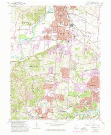
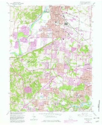
1915 to 1986The same ground, surveyed 71 years apart. Drag the handle to wipe between them. Both sheets are United States Geological Survey originals; neither has been altered.

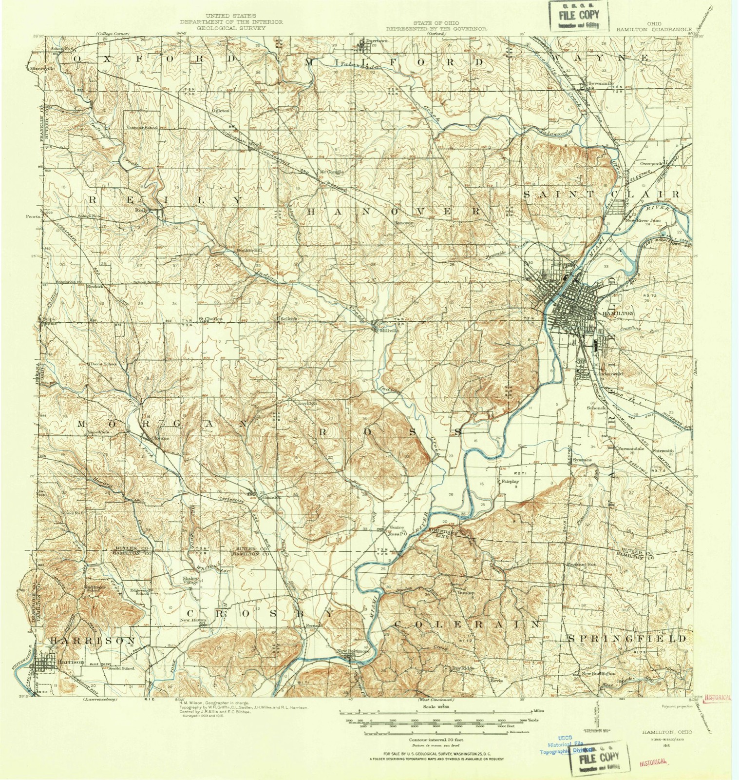
Topographic sheets covering this place
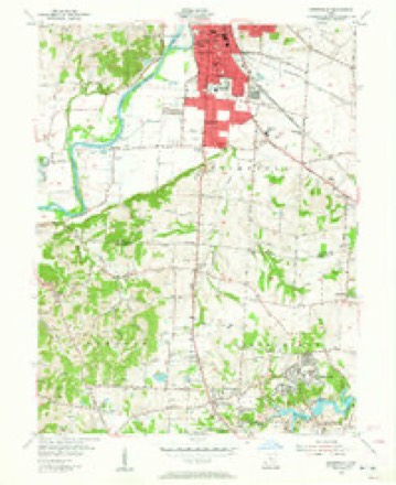
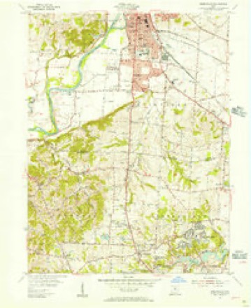
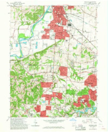
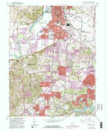
16 sheetsMatched by testing this settlement's coordinate against the published boundary of every sheet in the United States Geological Survey's historical collection. Each opens the scanned sheet at the Survey.
- 1915 USGS Hamilton quadrangle1:62500
- 1915 USGS Hamilton quadrangle1:62500
- 1917 USGS Hamilton quadrangle1:62500
- 1953 USGS Cincinnati quadrangle1:250000
- 1953 USGS Cincinnati quadrangle1:250000
- 1953 USGS Cincinnati quadrangle1:250000
- 1955 USGS Greenhills quadrangle1:24000
- 1955 USGS Greenhills quadrangle1:24000
- 1957 USGS Cincinnati quadrangle1:250000
- 1965 USGS Greenhills quadrangle1:24000
- 1965 USGS Greenhills quadrangle1:24000
- 1965 USGS Greenhills quadrangle1:24000
- 1965 USGS Greenhills quadrangle1:24000
- 1986 USGS Cincinnati quadrangle1:100000
- 1986 USGS Cincinnati quadrangle1:100000
- 1986 USGS Cincinnati quadrangle1:100000







In the county-history sources
17,301 words on this townshipThe Mound Builders : Being an Account of a Remarkable People That Once Inhabited the Valleys of the Ohio and Mississippi, Together with an Investigation Into the Archæology of Butler County, O., published 1879 names this settlement in its chapter on Fairfield Township. These are the passages that mention it, exactly as the scans read.
Fig. 49. - Ancient Fortification. fact, many of the farms are in a dilapidated condition. About Symmes Corner there is a very fine farming district, and yet many of the farms show a want of enterprise on the part of the owners.
Passage source: The Mound Builders : Being an Account of a Remarkable People That Once Inhabited the Valleys of the Ohio and Mississippi, Together with an Investigation Into the Archæology of Butler County, O., published 1879.
Southeast of this work and nine hundred feet distant is a hill fifty feet still higher, although its area on top is small. Upon this hill have been observed traces of ancient occupation. As it is the highest point in the neighborhood, it would be plausible to infer that it was used for a watch tower.
Passage source: The Mound Builders : Being an Account of a Remarkable People That Once Inhabited the Valleys of the Ohio and Mississippi, Together with an Investigation Into the Archæology of Butler County, O., published 1879.
There are but few mounds in the township, most of them having already been mentioned. On a promontory belonging to Thomas VanCleaf, in section twenty-one, overlooking the valley beyond, is a circular depression, out of which limestone has been taken. There is a tradition that a stone mound once stood on this spot. A few of the stone still remain. On the farm of R. Kennedy, same section, is a small earth-mound. On the land of John Pottenger, section three, are two small mounds which have been plowed over. On the north-
Passage source: The Mound Builders : Being an Account of a Remarkable People That Once Inhabited the Valleys of the Ohio and Mississippi, Together with an Investigation Into the Archæology of Butler County, O., published 1879.
Machine-read from a century-old scan, so expect the errors a machine makes: misspelled names, dropped words, stray characters.
Read the whole chapter on Fairfield Township - it names this place 33 more 33 times.
Photographs
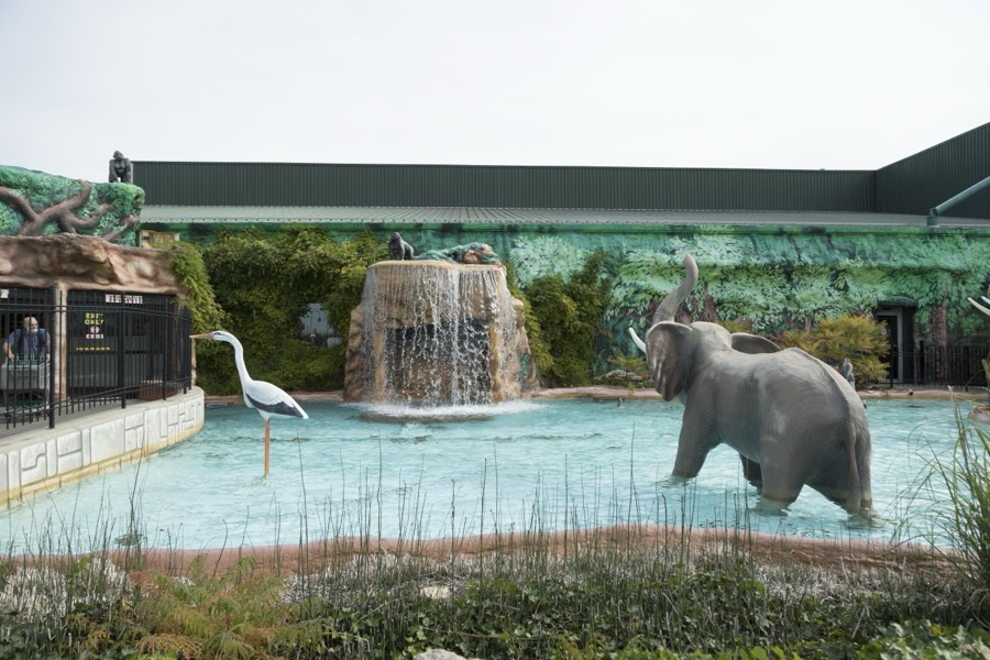
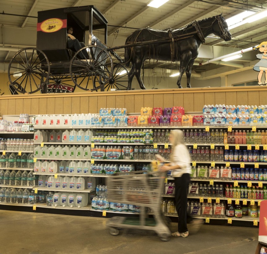
6 photographs, 2016Taken for the Office of War Information and the Farm Security Administration, who photographed the country between 1935 and 1944. Works of United States government photographers, with no known restriction on use. Each opens its catalogue record.
Highsmith, Carol M, 2016. Library of Congress

Highsmith, Carol M, 2016. Library of Congress
Highsmith, Carol M, 2016. Library of Congress
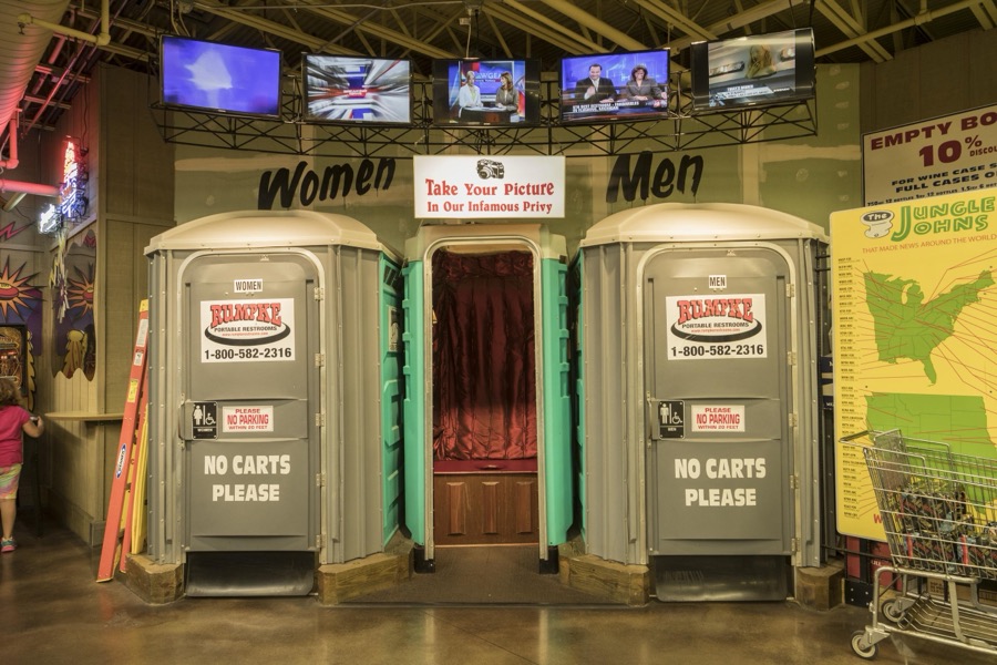
Highsmith, Carol M, 2016. Library of Congress
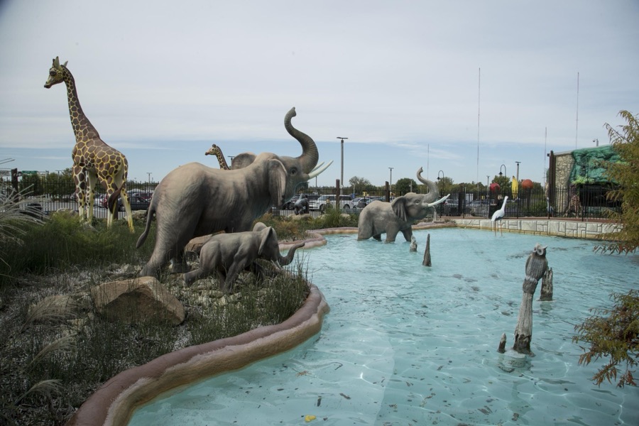
Highsmith, Carol M, 2016. Library of Congress
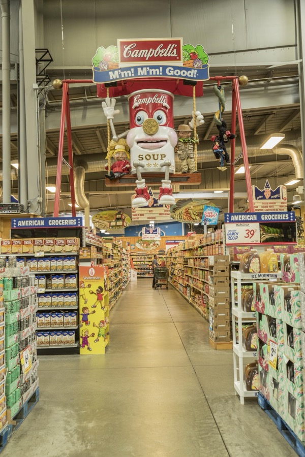
Highsmith, Carol M, 2016. Library of Congress
Specimens collected near this place
12 of 449 shownRegional context, not property-specific evidence. Museums hold 449 specimens collected within 10 miles of Fairfield between 1835 and 1975: 392 Animalia, 43 Plantae, 11 Fungi, 2 Protozoa, 1 Unrecorded. 12 distinct Species records are shown. Collected by A. R. Gaufin, A.R. Gaufin, H.H. Ross, Arden R. Gaufin and others. Each is a physical object with a catalogue number, and each entry opens the museum's record. This is what was collected and kept, not a survey of what lives here - nothing can be concluded from a species being absent.
| Image | Species | Year | Collected by | Where, as recorded |
|---|---|---|---|---|
 | Leptostromataceae | 1883 | Prof. W. A. Kellerman | |
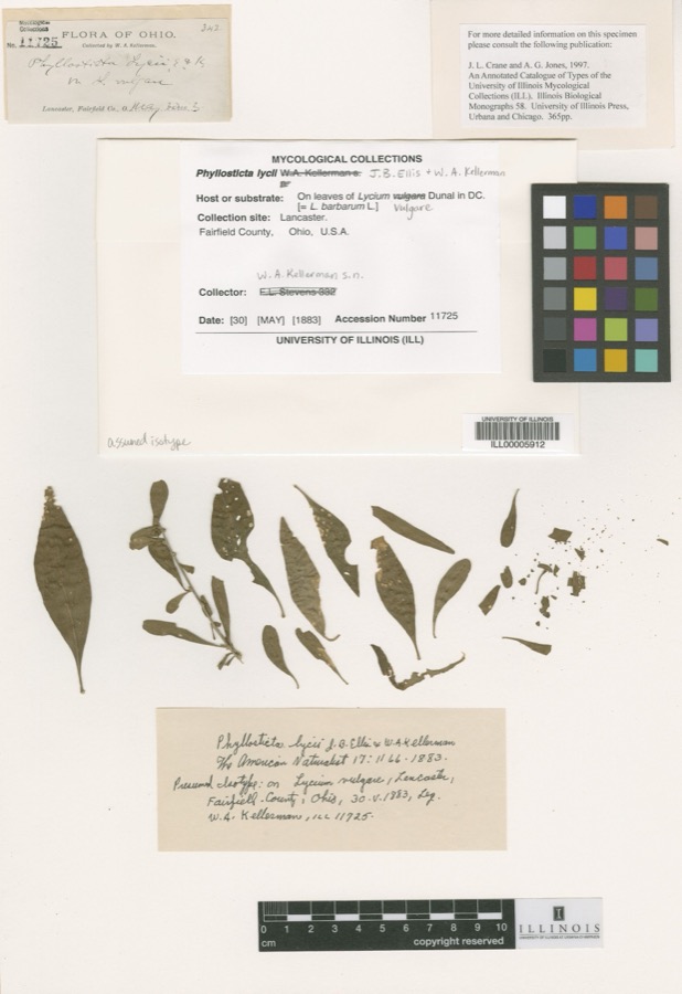 | Phyllosticta Pers., 1818 | 1883 | W. A. Kellerman | Lancaster. |
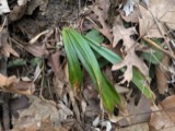 | Carex careyana Torr. ex Dewey | 1835 | Collector unknown | In ditione "Miami" civitatis Ohio. |
| Carex convoluta Mack. | 1835 | Collector unspecified | "Miami" | |
 | Carex gracillima Schwein. | 1835 | B. Frank | In ditione "Miami" civitatis Ohio. |
 | Calidris melanotos (Vieillot, 1819) | 1879 | W. Douglass | Jones Station |
 | Coluber constrictor Linnaeus, 1758 | 1879 | not recorded | Hughes |
 | Diadophis punctatus arnyi Kennicott, 1859 | 1879 | not recorded | Hughes |
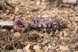 | Lampropeltis triangulum (Lacépède, 1789) | 1879 | not recorded | Hughes |
 | Mimus polyglottos (Linnaeus, 1758) | 1879 | Porter collection, J.B. | LOCNM: Jones |
 | Spiza americana (J.F.Gmelin, 1789) | 1879 | Porter, J.B. | |
 | Storeria dekayi (Holbrook, 1839) | 1879 | not recorded | Hughes |
All 449 specimens within 10 miles, at the Global Biodiversity Information Facility.
Mines and quarries near this place
10 of 16 shownRegional context, not property-specific evidence. The federal mineral resources record lists 16 workings within 5 miles of Fairfield: 6 past producers, 6 producers, 2 plants, 2 unknowns. 8 still produce. What was taken out: Sand and Gravel, Construction, Iron. Distance is straight-line from the map coordinates, so a quarry counted here may appear on a neighbouring settlement's page as well.
| Where | Site | Commodity | Status | Recorded |
|---|---|---|---|---|
| Armco Inc/ Hamilton, Ohio | Iron | Unknown | ||
| American Materials/ Hamilton, Ohio | Sand and Gravel, Construction | Unknown | ||
| Fairfield Pit | Sand and Gravel, Construction | Producer | ||
| Fairfield Plant No. 10 & Pit | Sand and Gravel, Construction | Plant | ||
| Fairfield Plant Number 10 and Pit | Sand and Gravel, Construction | Past Producer | Sedimentary | |
| Hilltop Pit | Sand and Gravel, Construction | Producer | ||
| Indian Creek Pit | Sand and Gravel, Construction | Past Producer | Sedimentary | |
| Indian Creek Sand & Gravel Pit | Sand and Gravel, Construction | Producer | ||
| Ross Plant | Sand and Gravel, Construction | Producer | ||
| Ross Plant Number 15 and Pit | Sand and Gravel, Construction | Past Producer | Sedimentary |
Storms near this place
25 since 1993Regional context, not property-specific evidence. The National Weather Service names Fairfield in 25 storm reports between 1993 and 2025: 14 thunderstorm wind, 7 hail, 2 flood, 1 lightning. No death or injury is recorded in these reports. Each account below is quoted exactly as the forecast office filed it, from the NOAA Storm Events Database, and each date opens the federal record of that event.
| When | Event | Place named | Harm | What the report says |
|---|---|---|---|---|
| May 2011 | Thunderstorm Wind | Fairfield | $70,000 | Numerous trees were uprooted, several chimneys were damaged, several buildings had siding torn and shingles blown off, a carport collapsed, a power pole was snapped, and twenty cars at a car dealership sustained minor damage due to thunderstorm winds. In addition, the roofs of two businesses were damaged due to the winds. |
| August 1993 | Thunderstorm Wind | Fairfield | $50,000 | Trees downed, some on structures and power lines. |
| May 1996 | Lightning | Fairfield | $50,000 | no account filed |
| June 2025 | Thunderstorm Wind | Fairfield | $10,000 | A tree fell onto a house along Dee Alva Drive. Several other trees were downed in the same subdivision. |
| June 2009 | Thunderstorm Wind | Fairfield | $6,000 | Two large oak trees were knocked down on a house, causing extensive damage. Four vehicles were also damaged. The location was reported as being in Hamilton at the corner of Beech and Pleasant avenues. |
| April 2003 | Thunderstorm Wind | Fairfield | $5,000 | Several trees were downed. |
| May 2003 | Thunderstorm Wind | Fairfield | $5,000 | Trees were knocked down in town. Large limbs were downed near Hamilton. |
| June 2025 | Thunderstorm Wind | Fairfield | $4,000 | Several trees were downed near Symmes Road. |
| April 2006 | Thunderstorm Wind | Fairfield | $3,000 | Windows were blown out of a building. |
| April 2002 | Thunderstorm Wind | Fairfield | $3,000 | Several trees were knocked down throughout town. |
| June 2025 | Flood | Fairfield | $2,000 | A vehicle was stuck in high water on Sherry Lane. |
| April 1996 | Thunderstorm Wind | Fairfield | $2,000 | no account filed |
| June 2025 | Thunderstorm Wind | Fairfield | $1,000 | A tree was downed near Mississippi and Wabash Drives. |
| May 2022 | Thunderstorm Wind | Fairfield | $1,000 | A tree fell onto the roadway near the intersection of Hine Road ad State Route 128. |
| June 2010 | Thunderstorm Wind | Fairfield | $1,000 | Large tree limbs were reported down due to damaging thunderstorm winds. |
| November 2002 | Thunderstorm Wind | Fairfield | $1,000 | Two trees were blown down. |
| June 2025 | Flood | Fairfield | - | High water was reported on Hamilton Cleves Road east of Hine Road. |
| August 2015 | Hail | Fairfield | - | Quarter size hail was reported at the intersection of River Road and Nilles Road. |
| September 2011 | Heavy Rain | Fairfield | - | High water due to heavy rain was reported on roadways. |
| April 2012 | Hail | Fairfield | - | no account filed |
| July 2012 | Hail | Fairfield | - | no account filed |
| July 2012 | Hail | Fairfield | - | no account filed |
| May 2011 | Hail | Fairfield | - | no account filed |
| April 2006 | Hail | Fairfield | - | no account filed |
| April 1995 | Hail | Fairfield | - | no account filed |
Nearest settlements
The eight closest, with where each one stands in the county. Distances are straight-line, computed from the Geographic Names Information System coordinates.
| Map | Place | Distance | Sheets |
|---|---|---|---|
| Symmes Corner | 0.7 miles | 16 | |
| Furmandale | 1.2 miles | 16 | |
| Schenck | 1.3 miles | 16 | |
| Brandy Wine | 1.3 miles | 16 | |
| Griesmer Addition | 1.4 miles | 16 | |
| Dixiedale | 1.5 miles | 16 | |
| Ixworth (historical) | 1.7 miles | 16 | |
| Lindenwald | 1.8 miles | 16 |
Elsewhere
Matched on this settlement's Geographic Names Information System number rather than its name, so it cannot be a different place of the same name in another state.
| Wikipedia article on Fairfield | An encyclopaedic summary. Its text is share-alike, so it is linked here rather than copied. |
| Wikidata item Q1002506 | The structured record the population and elevation above come from. Public domain (CC0). |
Provenance
This settlement is recorded in the Geographic Names Information System as feature 1048720. The sheet list is computed by point-in-boundary test against the United States Geological Survey's historical topographic inventory. Both are works of the United States government and carry no copyright under 17 U.S.C. 105.
Specimens. Global Biodiversity Information Facility (GBIF), https://www.gbif.org/. Only records licensed CC0 or CC BY are used. Records licensed CC BY-NC are excluded because this site carries advertising. Images are checked individually and any whose licence is non-commercial, no-derivatives or unreadable is refused.
Mines and quarries. USGS Mineral Resources Data System (MRDS) https://mrdata.usgs.gov/mrds/ A work of the United States government, no copyright under 17 U.S.C. 105.
Storms. NOAA National Centers for Environmental Information, Storm Events Database https://www.ncei.noaa.gov/stormevents/ A work of the United States government, no copyright under 17 U.S.C. 105. Narratives are quoted verbatim from the National Weather Service report and are not edited or summarised.