 Block
Block
Glenford, Ohio
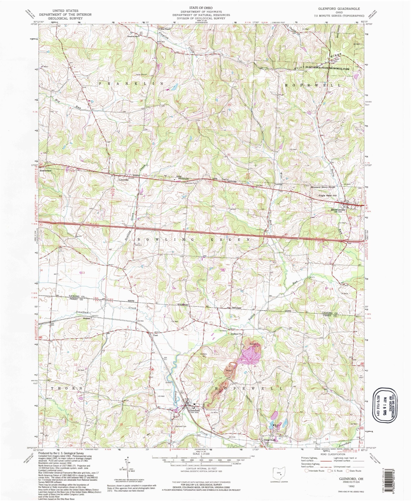
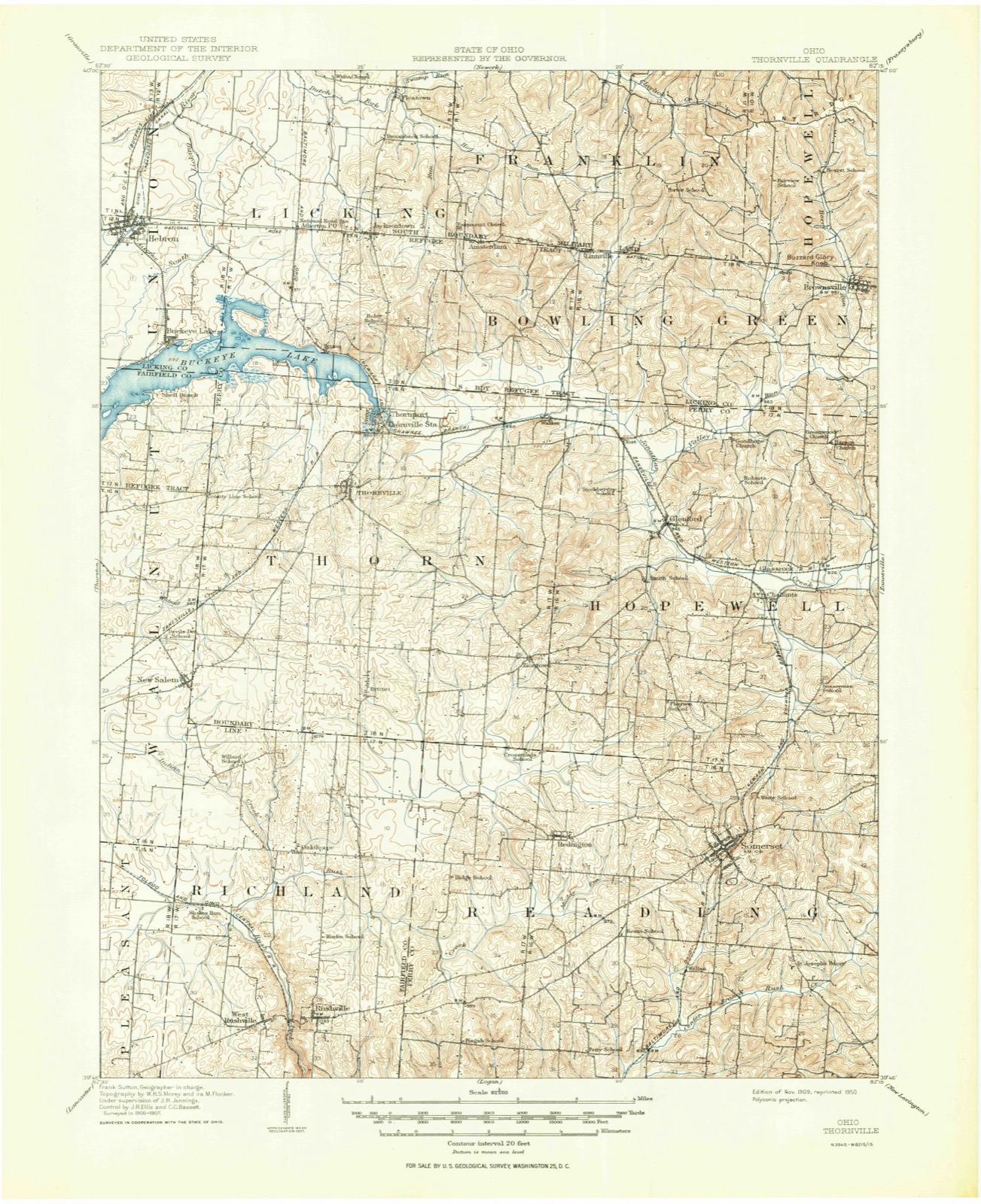
12 topographic sheets cover this place, the earliest surveyed in 1909 and the latest in 1992. It stands in Hopewell Township. It lies in ZIP code area 43739. The Survey maps it on the Glenford quadrangle. 165 people lived here at the 2020 count. It stands 846 feet above sea level.
Population over time
2 figuresGlenford fell from 173 to 165 between 2010 and 2020. These are the recorded population figures Wikidata holds for this place, reached through the Geographic Names Information System number this page is keyed on rather than by name, so they belong to this place and not to another of the same name. Most are census counts, but not all are: an early figure may be a founding or settlement estimate. The change column is computed, and is left blank where more than 20 years separate a figure from the one before it, because a gap that long is not a change between two counts.
| Year | People | Change |
|---|---|---|
| 2010 | 173 | |
| 2020 | 165 | -8 (-5%) |
Then and now
1909 to 1992The same ground, surveyed 83 years apart. Drag the handle to wipe between them. Both sheets are United States Geological Survey originals; neither has been altered.
Compare 1909 against another survey:
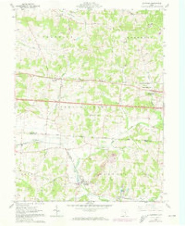
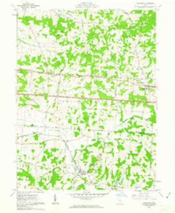
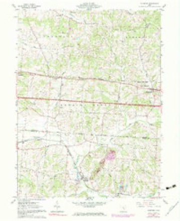
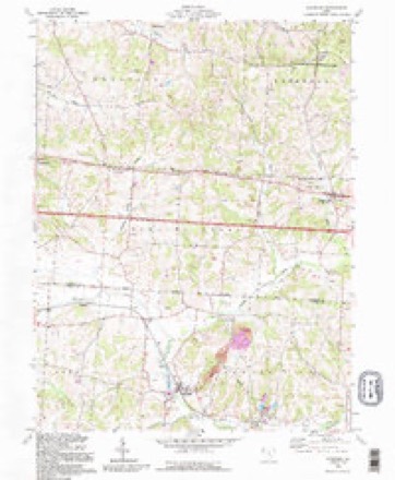
Topographic sheets covering this place
12 sheetsMatched by testing this settlement's coordinate against the published boundary of every sheet in the United States Geological Survey's historical collection. Each opens the scanned sheet at the Survey.
- 1909 USGS Thornville quadrangle1:62500
- 1909 USGS Thornville quadrangle1:62500
- 1947 USGS Columbus quadrangle1:250000
- 1961 USGS Columbus quadrangle1:250000
- 1961 USGS Glenford quadrangle1:24000
- 1961 USGS Glenford quadrangle1:24000
- 1961 USGS Glenford quadrangle1:24000
- 1962 USGS Columbus quadrangle1:250000
- 1967 USGS Columbus quadrangle1:250000
- 1967 USGS Columbus quadrangle1:250000
- 1984 USGS Lancaster quadrangle1:100000
- 1992 USGS Glenford quadrangle1:24000






In the county-history sources
3,686 words on this township1883 History Perry County, Ohio, published 1883 names this settlement in its chapter on Hopewell Township. These are the passages that mention it, exactly as the scans read.
Glenford, a small village 'that has grown up since the building of the Newark, Somerset and Straitsville Railroad, is the principal town in Hopewell township. M. Estella, Mechling, an intelligent school girl, eleven years of age.describes Glenford as follows:
Passage source: 1883 History Perry County, Ohio, published 1883.
Glenford has a population of seventy to eighty, it has two dry goods stores, one school examiner, one grocery, one dress making and 'ne store, one carpenter shop, one shoe and boot shop, one blacksmith shop, one grist mill, run by water or steam; one warehouse for wheat, corn, etc. ; one tool house, one watering tank, one express office, one post office, one section house, two boarding houses, one sewing machine agent, one agent selling reapers, mowers, wagons and buggies, one physician, one school teacher and two engineers. The town is noted for its beautiful surroundings, its rolling hills, and the hill of the Old Fort, less than a mile south of Glenford. This hill and Fort can be seen from town and is so much of a curiosity [so ancient its date is not known - Compiler], a circle of stone thrown up three or four feet high, inclosing more than twenty-seven acres of land, a big pile of stone within the circle and an entrance to all, between two high rocks. It used to be a pleasant place for the scholars at the school near by. There is a large grove near town, and this is one of the most beautiful places for festivals, Sunday school,or other celebrations, political meetings and pleasure seeking parties. The passenger train passes through Glenford four times every day, Sunday excepted, two local trains and about four coal trains daily. ;
Passage source: 1883 History Perry County, Ohio, published 1883.
Chalfant, a small village and railway station, on the Newark, Somerset and Straitsville Railroad, is situated between Glenford and Somerset, and has a railway station, post office, store, blacksmith shop-and wagon shop, with a population of probably less than fifty.
Passage source: 1883 History Perry County, Ohio, published 1883.
Machine-read from a century-old scan, so expect the errors a machine makes: misspelled names, dropped words, stray characters.
Read the whole chapter on Hopewell Township - it names this place 2 more 2 times.
Fires near this place
13 since 2007Regional context, not property-specific evidence. The federal wildfire occurrence database lists 13 fires within 5 miles of Glenford between 2007 and 2020, burning about 16 acres in total. None started naturally. None was recorded as arson. Distance is straight-line from the map coordinates, so a fire counted here may appear on a neighbouring settlement's page as well.
| Reported cause | Fires |
|---|---|
| Debris and open burning | 7 |
| Missing data/not specified/undetermined | 6 |
The most recent of them, most recent first, with the day each was reported and the service that recorded it.
| Date | Cause | Size | Reported by | Name on the report |
|---|---|---|---|---|
| 7 September 2007 | Debris and open burning | under an acre | Ohio Department of Natural Resources | not named |
| 22 September 2015 | Missing data/not specified/undetermined | 1.0 acres | Ohio Department of Natural Resources | 2223 |
| 3 April 2019 | Debris and open burning | 5.0 acres | Ohio Department of Natural Resources | 15123 |
| 10 April 2019 | Missing data/not specified/undetermined | under an acre | Ohio Department of Natural Resources | 15132 |
| 18 March 2018 | Debris and open burning | under an acre | Ohio Department of Natural Resources | 10429 |
| 18 March 2018 | Debris and open burning | under an acre | Ohio Department of Natural Resources | 10228 |
| 18 March 2018 | Debris and open burning | under an acre | Ohio Department of Natural Resources | 10229 |
| 12 March 2019 | Missing data/not specified/undetermined | 5.0 acres | Ohio Department of Natural Resources | 14985 |
Settlements close enough to share some of these fires:
Specimens collected near this place
12 of 125 shownRegional context, not property-specific evidence. Museums hold 125 specimens collected within 10 miles of Glenford between 1892 and 1973: 109 Animalia, 10 Plantae, 6 Fungi. 12 distinct Species records are shown. Collected by Auten, Breakey, Buker, W.E. and others. Each is a physical object with a catalogue number, and each entry opens the museum's record. This is what was collected and kept, not a survey of what lives here - nothing can be concluded from a species being absent.
| Image | Species | Year | Collected by | Where, as recorded |
|---|---|---|---|---|
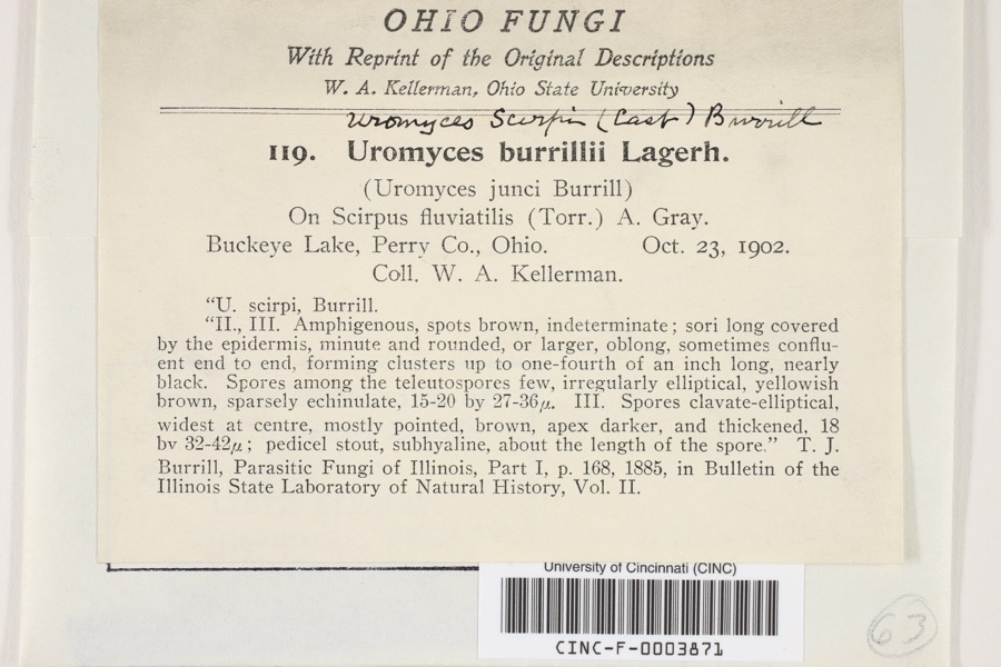 | Uromyces scirpi Burrill | 1902 | Kellerman, W.A. | Buckeye Lake |
 | Fissidens adianthoides Hedw. | 1892 | W. C. Werner | Fultonham |
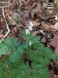 | Dicentra cucullaria (L.) Bernh. | 1900 | Williamson, E.B. | New Salem |
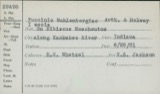 | Puccinia muhlenbergiae Arthur & Holw. | 1902 | W. A. Kellerman | Buckeye Lake |
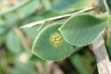 | Uromyces (Link) Unger, 1833 | 1902 | W. A. Kellerman | Buckeye Lake |
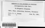 | Cercosporella cana (Sacc.) Sacc. | 1903 | Kellerman, W.A. | Buckeye Lake |
 | Absconditella sphagnorum Vzda & Poelt | 1910 | F. Detmers | Buckeye Lake, Cranberry Island |
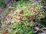 | Sphagnum palustre L. | 1910 | R. F. Griggs | Buckeye Lake |
 | Sphagnum recurvum P.Beauv. | 1910 | R. F. Griggs | Buckeye Lake |
| Orchelimum nigripes Scudder, 1875 | 1923 | Fulton, B.B | Buckeye Lake | |
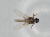 | Atrichopogon levis (Coquillett, 1901) | 1925 | not recorded | Buckeye Lake |
| Nilobezzia mallochi Wirth, 1962 | 1925 | not recorded | Buckeye Lake |
All 125 specimens within 10 miles, at the Global Biodiversity Information Facility.
Mines and quarries near this place
3 within 5 milesRegional context, not property-specific evidence. The federal mineral resources record lists 3 workings within 5 miles of Glenford: 1 producer, 1 plant, 1 past producer. 2 still produce. What was taken out: Stone, Crushed/Broken, Limestone, General. Distance is straight-line from the map coordinates, so a quarry counted here may appear on a neighbouring settlement's page as well.
| Where | Site | Commodity | Status | Recorded |
|---|---|---|---|---|
| Busse Quarry | Limestone, General | Past Producer | Sedimentary | |
| Busse Quarry & Mill | Stone, Crushed/Broken | Plant | ||
| Glass Rock Quarry | Stone, Crushed/Broken | Producer |
Storms near this place
20 since 1996Regional context, not property-specific evidence. The National Weather Service names Glenford in 20 storm reports between 1996 and 2025: 8 thunderstorm wind, 5 flood, 4 hail, 3 flash flood. No death or injury is recorded in these reports. Each account below is quoted exactly as the forecast office filed it, from the NOAA Storm Events Database, and each date opens the federal record of that event.
| When | Event | Place named | Harm | What the report says |
|---|---|---|---|---|
| July 2017 | Flood | Glenford | $100,000 | Heavy rainfall on the morning of the 13th lead to flash flooding across northern Perry County. As runoff from this rain worked its way through the water system, Jonathan Creek remained out of its banks into the afternoon of the 14th. Some residents were evacuated due to the high water. About a dozen homes and outbuildings were surrounded by water on South Main Street. High water marks indicated 6 to 9 inches of water made it into the first floors of some homes. A 100-barrel oil storage facility was also damaged by the water. Some oil spilled into the flood waters. |
| May 1996 | Flash Flood | Glenford | $10,000 | no account filed |
| March 2007 | Flood | Glenford | $5,000 | Small streams, such as Jonathan Creek and Moxahala Creek flooded roads, but no dwellings were affected. |
| May 2002 | Thunderstorm Wind | Glenford | $5,000 | Power lines, trees, and a few road signs were blown down. |
| January 2007 | Flood | Glenford | $5,000 | no account filed |
| June 1998 | Thunderstorm Wind | Glenford | $5,000 | no account filed |
| April 2025 | Thunderstorm Wind | Glenford | $3,000 | Multiple downed trees and power lines were observed in the Glenford area. |
| May 2020 | Flood | Glenford | $3,000 | Heavy rainfall resulted in State Road 204 in Glass Rock to close for a period of time on the afternoon of the 20th due to flooding. |
| June 2013 | Thunderstorm Wind | Glenford | $3,000 | Tree branches fell onto power lines near Church Street. |
| February 2022 | Flood | Glenford | $2,000 | Along State Route 668 from State Route 204 to Township Road 65, all lanes were closed due to flooding. All lanes of State Route 204 were also closed due to high water near the intersection of Gower Road. State Route 93 also observed water from State Route 13 to Township Road 402, resulting in road closures. |
| August 2020 | Thunderstorm Wind | Glenford | $2,000 | Several trees were blown down around the town of Glenford. |
| May 2019 | Thunderstorm Wind | Glenford | $2,000 | A few trees were blown down in Glenford. |
| July 2018 | Flash Flood | Glenford | $1,000 | Minor flooding closed portions of Main Street in Glenford, and also High Point Road south of Glenford. |
| June 2018 | Flash Flood | Glenford | $1,000 | County Route 204 was closed near Glenford due to high water from flooding along Jonathan's Creek. |
| July 2011 | Thunderstorm Wind | Glenford | $1,000 | Trees and large branches were blown down. |
| June 2002 | Thunderstorm Wind | Glenford | $1,000 | Several trees fell across roads. |
| May 2022 | Hail | Glenford | - | no account filed |
| April 2015 | Hail | Glenford | - | no account filed |
| June 2007 | Hail | Glenford | - | no account filed |
| April 2007 | Hail | Glenford | - | no account filed |
Nearest settlements
The eight closest, with where each one stands in the county. Distances are straight-line, computed from the Geographic Names Information System coordinates.
| Map | Place | Distance | Sheets |
|---|---|---|---|
| Yost | 1.6 miles | 12 | |
| Glass Rock | 1.7 miles | 12 | |
| Chalfants | 2.1 miles | 11 | |
| Walser | 2.6 miles | 12 | |
| Ziontown | 3.4 miles | 11 | |
| Mount Perry | 5.2 miles | 12 | |
| Thornport | 5.3 miles | 14 | |
| Thornville | 5.5 miles | 14 |
Elsewhere
Matched on this settlement's Geographic Names Information System number rather than its name, so it cannot be a different place of the same name in another state.
| Wikipedia article on Glenford | An encyclopaedic summary. Its text is share-alike, so it is linked here rather than copied. |
| Wikidata item Q1530986 | The structured record the population and elevation above come from. Public domain (CC0). |
Provenance
This settlement is recorded in the Geographic Names Information System as feature 1040908. The sheet list is computed by point-in-boundary test against the United States Geological Survey's historical topographic inventory. Both are works of the United States government and carry no copyright under 17 U.S.C. 105.
Wildfire. Short, Karen C. 2022. Spatial wildfire occurrence data for the United States, 1992-2020 [FPA_FOD_20221014]. 6th Edition. Fort Collins, CO: Forest Service Research Data Archive. https://doi.org/10.2737/RDS-2013-0009.6 Collected with United States Government funding and usable without additional permissions or fees.
Specimens. Global Biodiversity Information Facility (GBIF), https://www.gbif.org/. Only records licensed CC0 or CC BY are used. Records licensed CC BY-NC are excluded because this site carries advertising. Images are checked individually and any whose licence is non-commercial, no-derivatives or unreadable is refused.
Mines and quarries. USGS Mineral Resources Data System (MRDS) https://mrdata.usgs.gov/mrds/ A work of the United States government, no copyright under 17 U.S.C. 105.
Storms. NOAA National Centers for Environmental Information, Storm Events Database https://www.ncei.noaa.gov/stormevents/ A work of the United States government, no copyright under 17 U.S.C. 105. Narratives are quoted verbatim from the National Weather Service report and are not edited or summarised.