 Block
Block
Walser, Ohio
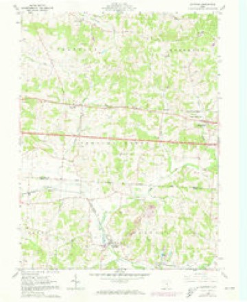
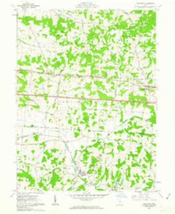
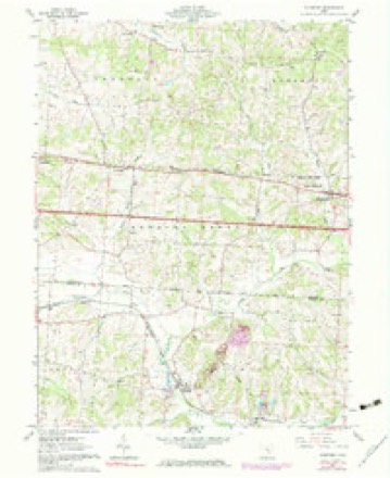
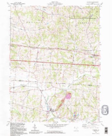
12 topographic sheets cover this place, the earliest surveyed in 1909 and the latest in 1992. It stands in Thorn Township. It lies in ZIP code area 43076. It stands on Bowling Green Creek. The Survey maps it on the Glenford quadrangle.
Then and now
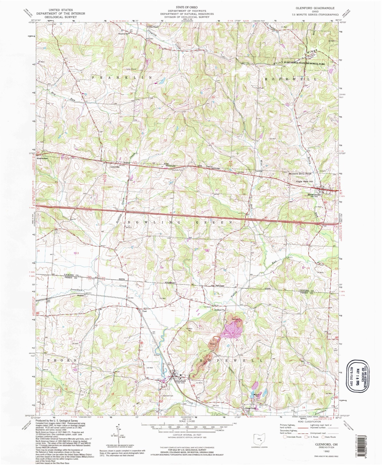
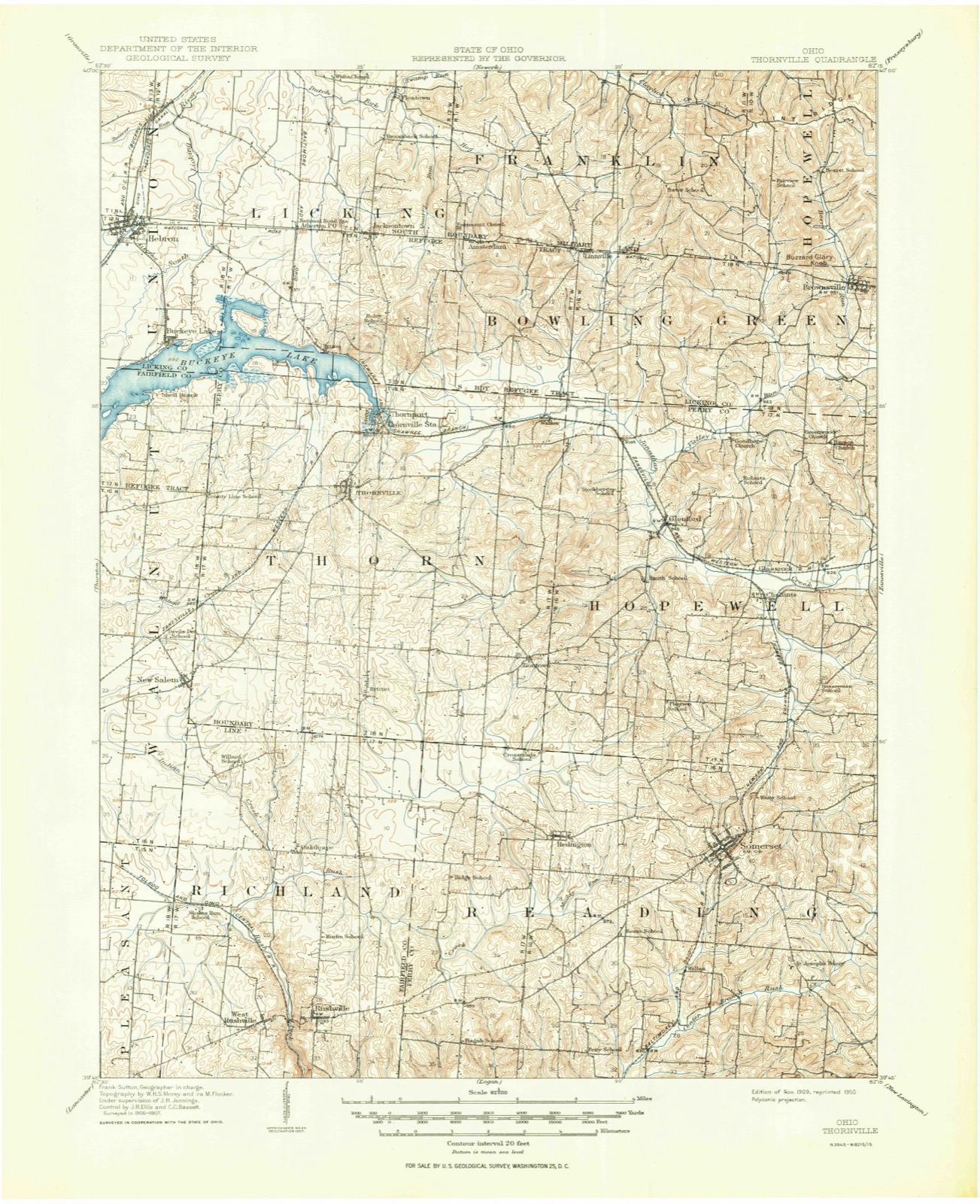
1909 to 1992The same ground, surveyed 83 years apart. Drag the handle to wipe between them. Both sheets are United States Geological Survey originals; neither has been altered.
Compare 1909 against another survey:
Topographic sheets covering this place
12 sheetsMatched by testing this settlement's coordinate against the published boundary of every sheet in the United States Geological Survey's historical collection. Each opens the scanned sheet at the Survey.
- 1909 USGS Thornville quadrangle1:62500
- 1909 USGS Thornville quadrangle1:62500
- 1947 USGS Columbus quadrangle1:250000
- 1961 USGS Columbus quadrangle1:250000
- 1961 USGS Glenford quadrangle1:24000
- 1961 USGS Glenford quadrangle1:24000
- 1961 USGS Glenford quadrangle1:24000
- 1962 USGS Columbus quadrangle1:250000
- 1967 USGS Columbus quadrangle1:250000
- 1967 USGS Columbus quadrangle1:250000
- 1984 USGS Lancaster quadrangle1:100000
- 1992 USGS Glenford quadrangle1:24000






In the county-history sources
165,003 words on this township1883 History Perry County, Ohio, published 1883 names this settlement in its chapter on Thorn Township. These are the passages that mention it, exactly as the scans read.
Trout, WiLiiAM, farmer and stock grazer by occupation, post office Glenford, Ohio ; was born in Hopewell township ; he is ason of George Trout and Francis Cowen, who. were married in 1822. He and his brother, George H. Trout, occupy the ancient homestead in section three. The last named was married in 1863, to Miss Ann Maria Walser, and are the happy parents of four children, named Sarah Frances, John W., George Allen and Martha A. Trout; of these John W., now fourteen, exhibits excellent genius as a draftsman and penman. His uncle William has remained unmarried and has a large and comfortable room of his own in the family home, where he enjoys all the comforts of bachelor life, and where all welcome callers are treated to the hospitalities of a gentleman. William and George H. are the only surviving sons of George Trout. The surviving daughters are Susan, wife of Samuel Cooperider, and Margaret, wife of George Cooperider, post office of both, Brownsville, Ohio. The mother of this family died in 1852, and the father in 1860, in his sixty-second year. When twelve years of age he came with his grandfather, Judge 'Trout, to Somerset, Ohio. His brothers, the sons of Judge Trout, were Jacob, a soldier in the War of 1812, and went to Fort Wayne; John, who settled in Hancock county, Ohio, and laid out the village of Van Buren; Elizabeth, wife of Samuel Parkeson, who moved to Miami county, Ohio; Juliann Sophia, wife of Jacob Brunner, of Somerset; Margaret, wife of Rev. Andrew Hinkel, who with his wife died in Germantown, Montgomery county, Ohio,.and who, though both a Mason and Odd Fellow, was buried by the Lutheran Church; George, the father of William and
Passage source: 1883 History Perry County, Ohio, published 1883.
radition,derived from the mother of Hiram, asserts that James worked on the National pike, and thereby earned the money with which to buy and pay for this first forty acres of land, the price of which was then $1.25 per acre, due perhaps to its rocky surface and the date of its pur~ chase, and the fifty cents per day earned by labor. James Danison died in 1864, owning one hundred acres of land, leaving his widow, whose maiden name was Dorcus Wilson,an aunt of Jeremiah Wilson, residing on section 21, Hopewell, with one son, Hiram, and one daughter, Mrs. Harriet Walser, wife of Jefferson Walser, Glenford post office, Ohio. Hiram has added twenty acres to the old homestead, comprising two hundred acres, of which his sister obtained seventy-five acres, leaving him one hundred and twenty-five acres at this time. His first wife, and also the mother of all his children, was Miss Rebecca Wilson, daughter of John Wilson, who died in 1865. ler children are Clararissa, widow of Ezra Plane. (killed by accident); Allie, wife of John Plane,Chalfants post office ; Martha,wife of E. W. Cooperider, Thornville post office ; Jane, wife of John Beard, Mount Perry post office, and Miss Ida. Hiram Danison. married a second wife, Miss Huldah Heck, daughter of Henry Heck, late of Reading township. Mr. Danison has just returned from a visit to Richmond, Virginia, to inspect some of the wonderful bargains in land, and houses advertised in that vicinity of Virginia since the Rebellion. He professes himself well pleased with the prospects for capital invested and says if he moves there he wishes to take as much of old Perry with him as he can.
Passage source: 1883 History Perry County, Ohio, published 1883.
Machine-read from a century-old scan, so expect the errors a machine makes: misspelled names, dropped words, stray characters.
Fires near this place
12 since 2007Regional context, not property-specific evidence. The federal wildfire occurrence database lists 12 fires within 5 miles of Walser between 2007 and 2020, burning about 11 acres in total. None started naturally. None was recorded as arson. Distance is straight-line from the map coordinates, so a fire counted here may appear on a neighbouring settlement's page as well.
| Reported cause | Fires |
|---|---|
| Debris and open burning | 7 |
| Missing data/not specified/undetermined | 5 |
The most recent of them, most recent first, with the day each was reported and the service that recorded it.
| Date | Cause | Size | Reported by | Name on the report |
|---|---|---|---|---|
| 7 September 2007 | Debris and open burning | under an acre | Ohio Department of Natural Resources | not named |
| 22 September 2015 | Missing data/not specified/undetermined | 1.0 acres | Ohio Department of Natural Resources | 2223 |
| 3 April 2019 | Debris and open burning | 5.0 acres | Ohio Department of Natural Resources | 15123 |
| 10 April 2019 | Missing data/not specified/undetermined | under an acre | Ohio Department of Natural Resources | 15132 |
| 18 March 2018 | Debris and open burning | under an acre | Ohio Department of Natural Resources | 10429 |
| 18 March 2018 | Debris and open burning | under an acre | Ohio Department of Natural Resources | 10228 |
| 18 March 2018 | Debris and open burning | under an acre | Ohio Department of Natural Resources | 10229 |
| 28 February 2019 | Missing data/not specified/undetermined | 1.5 acres | Ohio Department of Natural Resources | 15124 |
Settlements close enough to share some of these fires:
Specimens collected near this place
12 of 120 shownRegional context, not property-specific evidence. Museums hold 120 specimens collected within 10 miles of Walser between 1900 and 1965: 106 Animalia, 8 Plantae, 6 Fungi. 12 distinct Species records are shown. Collected by Auten, Breakey, David H. Stansbery and others. Each is a physical object with a catalogue number, and each entry opens the museum's record. This is what was collected and kept, not a survey of what lives here - nothing can be concluded from a species being absent.
| Image | Species | Year | Collected by | Where, as recorded |
|---|---|---|---|---|
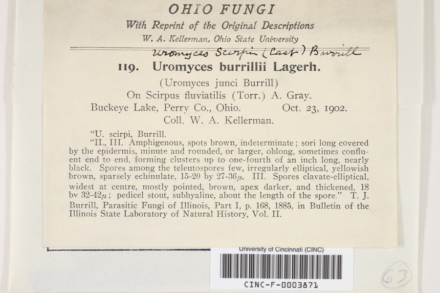 | Uromyces scirpi Burrill | 1902 | Kellerman, W.A. | Buckeye Lake |
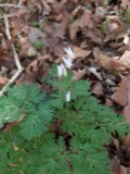 | Dicentra cucullaria (L.) Bernh. | 1900 | Williamson, E.B. | New Salem |
 | Puccinia muhlenbergiae Arthur & Holw. | 1902 | W. A. Kellerman | Buckeye Lake |
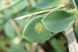 | Uromyces (Link) Unger, 1833 | 1902 | W. A. Kellerman | Buckeye Lake |
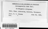 | Cercosporella cana (Sacc.) Sacc. | 1903 | Kellerman, W.A. | Buckeye Lake |
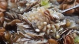 | Absconditella sphagnorum Vzda & Poelt | 1910 | F. Detmers | Buckeye Lake, Cranberry Island |
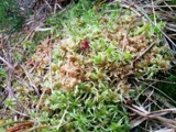 | Sphagnum palustre L. | 1910 | R. F. Griggs | Buckeye Lake |
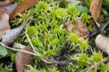 | Sphagnum recurvum P.Beauv. | 1910 | R. F. Griggs | Buckeye Lake |
| Orchelimum nigripes Scudder, 1875 | 1923 | Fulton, B.B | Buckeye Lake | |
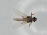 | Atrichopogon levis (Coquillett, 1901) | 1925 | not recorded | Buckeye Lake |
| Nilobezzia mallochi Wirth, 1962 | 1925 | not recorded | Buckeye Lake | |
| Probezzia Kieffer, 1906 | 1925 | not recorded | Buckeye Lake |
All 120 specimens within 10 miles, at the Global Biodiversity Information Facility.
Mines and quarries near this place
2 within 5 milesRegional context, not property-specific evidence. The federal mineral resources record lists 2 workings within 5 miles of Walser: 1 producer, 1 plant. All of them still produce. What was taken out: Stone, Crushed/Broken. Distance is straight-line from the map coordinates, so a quarry counted here may appear on a neighbouring settlement's page as well.
| Where | Site | Commodity | Status | Recorded |
|---|---|---|---|---|
| Busse Quarry & Mill | Stone, Crushed/Broken | Plant | ||
| Glass Rock Quarry | Stone, Crushed/Broken | Producer |
Nearest settlements
The eight closest, with where each one stands in the county. Distances are straight-line, computed from the Geographic Names Information System coordinates.
| Map | Place | Distance | Sheets |
|---|---|---|---|
| Yost | 1.2 miles | 12 | |
| Glenford | 2.6 miles | 12 | |
| Thornport | 3.0 miles | 14 | |
| Thornville | 3.7 miles | 14 | |
| Ziontown | 4.1 miles | 11 | |
| Glass Rock | 4.3 miles | 12 | |
| Chalfants | 4.8 miles | 11 | |
| Firemans Park | 4.8 miles | 14 |
Provenance
This settlement is recorded in the Geographic Names Information System as feature 1065451. The sheet list is computed by point-in-boundary test against the United States Geological Survey's historical topographic inventory. Both are works of the United States government and carry no copyright under 17 U.S.C. 105.
Wildfire. Short, Karen C. 2022. Spatial wildfire occurrence data for the United States, 1992-2020 [FPA_FOD_20221014]. 6th Edition. Fort Collins, CO: Forest Service Research Data Archive. https://doi.org/10.2737/RDS-2013-0009.6 Collected with United States Government funding and usable without additional permissions or fees.
Specimens. Global Biodiversity Information Facility (GBIF), https://www.gbif.org/. Only records licensed CC0 or CC BY are used. Records licensed CC BY-NC are excluded because this site carries advertising. Images are checked individually and any whose licence is non-commercial, no-derivatives or unreadable is refused.
Mines and quarries. USGS Mineral Resources Data System (MRDS) https://mrdata.usgs.gov/mrds/ A work of the United States government, no copyright under 17 U.S.C. 105.