 Block
Block
Thornville, Ohio
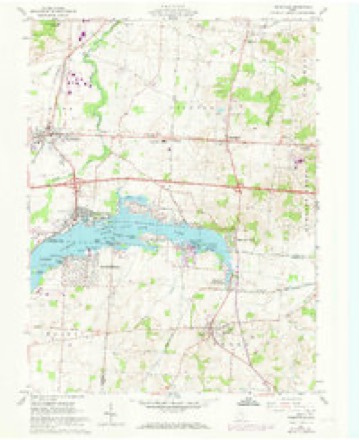
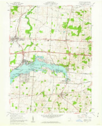
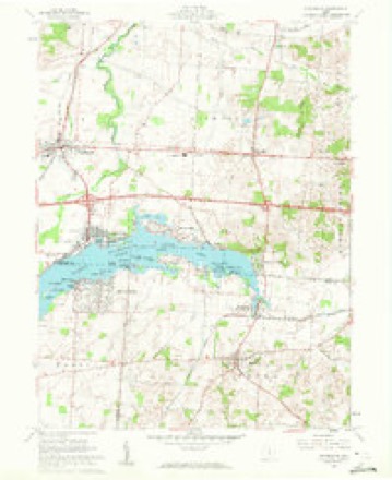
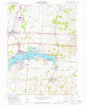
14 topographic sheets cover this place, the earliest surveyed in 1909 and the latest in 1992. It stands in Thorn Township. It lies in ZIP code area 43076. The Survey maps it on the Thornville quadrangle. 1,087 people lived here at the 2020 count. It stands 1,030 feet above sea level.
Population over time
2 figuresThornville grew from 991 to 1,087 between 2010 and 2020. These are the recorded population figures Wikidata holds for this place, reached through the Geographic Names Information System number this page is keyed on rather than by name, so they belong to this place and not to another of the same name. Most are census counts, but not all are: an early figure may be a founding or settlement estimate. The change column is computed, and is left blank where more than 20 years separate a figure from the one before it, because a gap that long is not a change between two counts.
| Year | People | Change |
|---|---|---|
| 2010 | 991 | |
| 2020 | 1,087 | +96 (+10%) |
Then and now
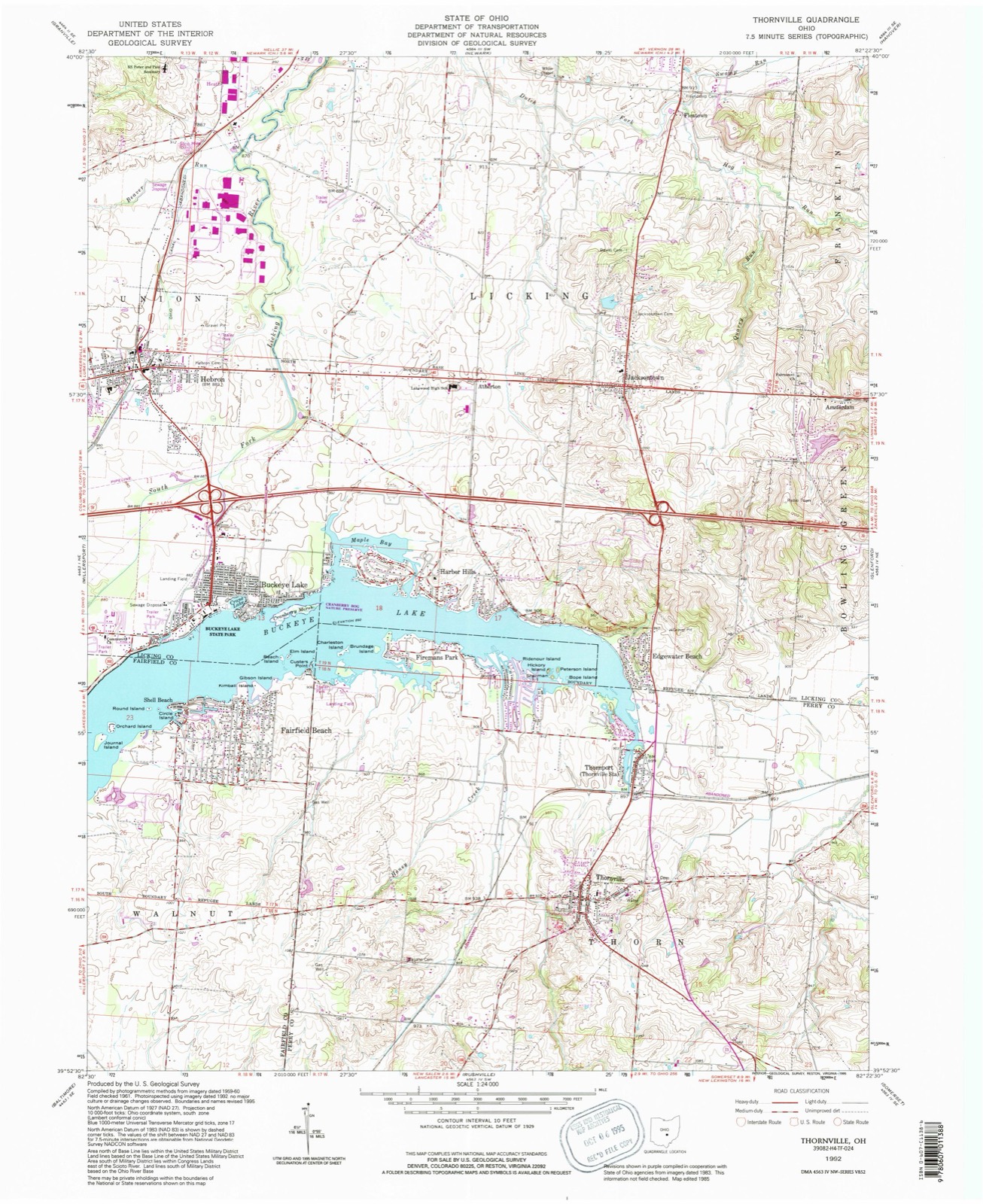
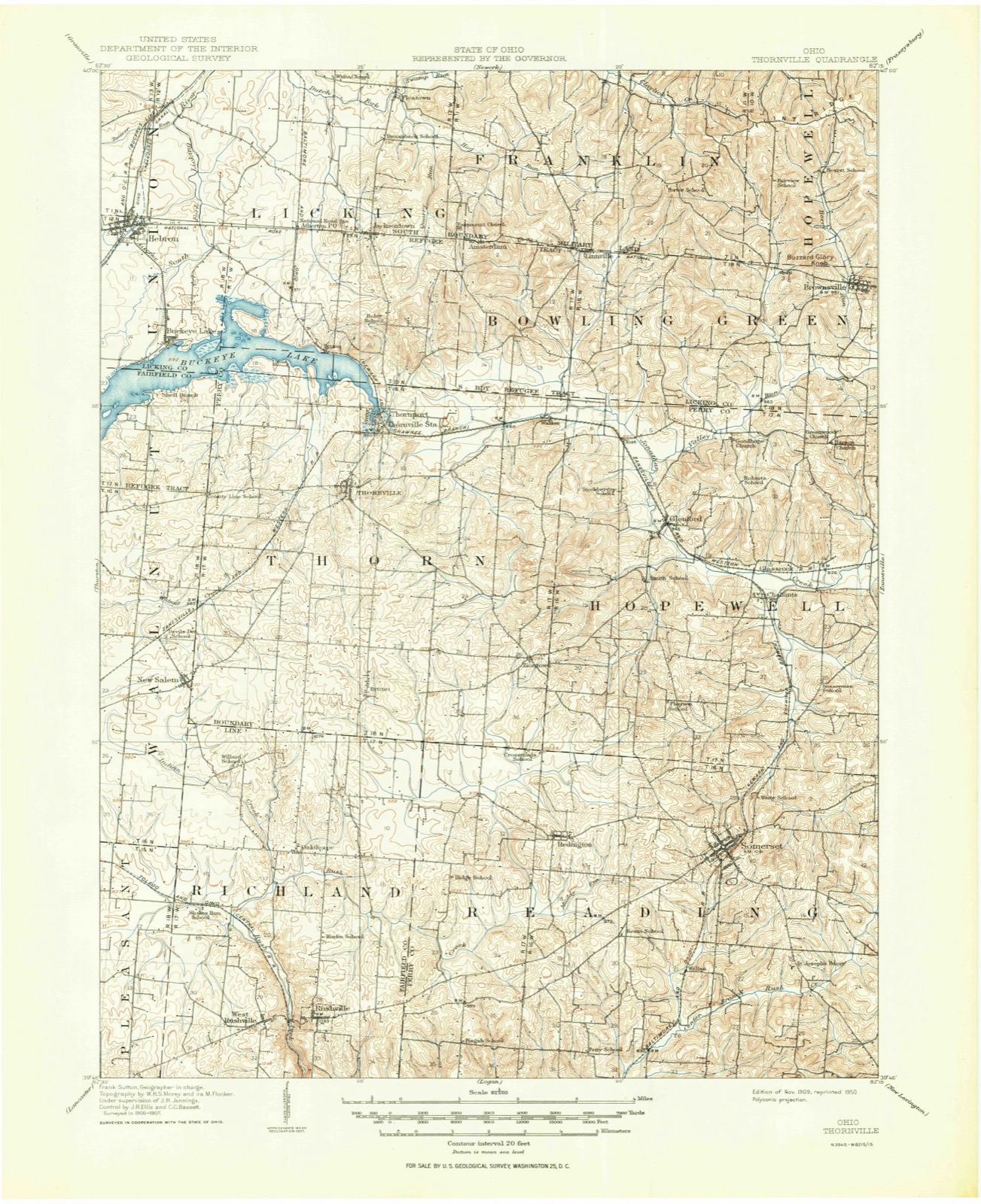
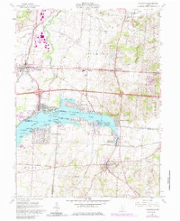
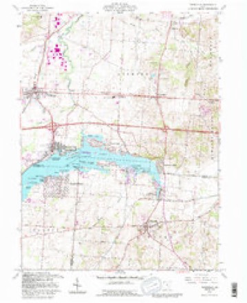
1909 to 1992The same ground, surveyed 83 years apart. Drag the handle to wipe between them. Both sheets are United States Geological Survey originals; neither has been altered.
Compare 1909 against another survey:
Topographic sheets covering this place
14 sheetsMatched by testing this settlement's coordinate against the published boundary of every sheet in the United States Geological Survey's historical collection. Each opens the scanned sheet at the Survey.
- 1909 USGS Thornville quadrangle1:62500
- 1909 USGS Thornville quadrangle1:62500
- 1947 USGS Columbus quadrangle1:250000
- 1961 USGS Columbus quadrangle1:250000
- 1961 USGS Thornville quadrangle1:24000
- 1961 USGS Thornville quadrangle1:24000
- 1961 USGS Thornville quadrangle1:24000
- 1961 USGS Thornville quadrangle1:24000
- 1961 USGS Thornville quadrangle1:24000
- 1962 USGS Columbus quadrangle1:250000
- 1967 USGS Columbus quadrangle1:250000
- 1967 USGS Columbus quadrangle1:250000
- 1984 USGS Lancaster quadrangle1:100000
- 1992 USGS Thornville quadrangle1:24000






In the county-history sources
165,003 words on this township1883 History Perry County, Ohio, published 1883 names this settlement in its chapter on Thorn Township. These are the passages that mention it, exactly as the scans read.
The internal improvements of Thorn township, until 1871, consisted of the common road only, but Millersport, in Fairfield county, is only a short distance from the northwest corner of the township, and is situated on the canal, and it became the place where most of the wheat was sold. Brooke & Lewis, Thorn township merchants (one from Thornville and the other from New Salem), built a warehouse on the canal a little east of Millersport, and, for several years, purchased nearly all the surplus wheat of the township, which, in the '30s, and up into the *40s, was very large, and the principal export, as the surplus corn was nearly all sold to drovers, and fed on the ground; for, until cattle were shipped East by the cars, there were large numbers from Southern Ohio, Kentucky, and Northern Indiana, driven through this township on the wav to the Eastern market. ;
Passage source: 1883 History Perry County, Ohio, published 1883.
In 1832, the Asiatic cholera raged fearfully in the central-southern part of the township, and a large number of deaths occurred. George Clum and William Friend, who lived in the cholera region, were about . the only grown male persons who did not take it; and yet, as long as the dreadful scourge raged there, these two men visited the sick, the dying, and prepared the dead for burial, neither of them sleeping in a bed for several weeks, so constant and untiring were they engaged in their sel@sacrificing ministrations. Dr. William Trevitt then resided in Thornville, distant five or six miles from the infected district. He was a skillful physician, and saved every case he reached before the patient got into a certain condition.. He kept three horses constantly bridled and saddled, and rode both day and night. Two of his horses dropped dead under the spur. He saved one of his patients after his horse fell dead, though he ran a considerable distance with his saddle-bags on his arm. If he had arrived five minutes later, it is believed, his patient would have died. After Henderson (tor that was the patient's name) got well, he went to Trevitt's office and inquired for his bill. Trevitt turned to his book, and told him the ordinary charge of only two or three dollars. Henderson asked'him what his horse was worth. Trev- : itt told him that he had paid eighty dollars for him, only a few days before. Thereupon Henderson took out his pocket-book and counted out eighty-five dollars, and offered the money to Trevitt, who declined to take any thing but his regular fee, which he took and put in his pocket. Henderson then took out change so as to leave just eighty dollars remaining, the price of the horse, which he left upon the counter, with an emphatic remark, that that money belonged to Trevitt; and not to him. The cholera raged fearfully for several weéks, and then disappeared as suddenly as it came. It was very bad in Newark, Licking county, at the same time.
Passage source: 1883 History Perry County, Ohio, published 1883.
As rich and populous as Thorn is, it was, for a long time, destitute of internal improvements, was off the main thoroughtares of travel and commerce, and occupied a somewhat isolated position. Still, the farmers managed to market their surplus products without any very serious difficulty. There was the National pike only a few miles north, and the Zanesville and Maysville pike, only a little further south. There was the Ohio Canal, with a warehouse at Millersport, just over the township line, in Fairfield county ; and, with the one convenient market, and the two other not distant outlets, the people managed to get along comfortably and make money. There was an every other day mail and hack line between Lancaster and Newark, passing by way of Thornville; so, after these two places obtained railroads, the inhabitants of Thorn could get away without much difficulty, when they wished to make a railroad journey to distant parts of the country. - Previous to the railroad era, they were even better situated, comparatively, for they could reach a through line of stages at Jacksontown, only a few miles north, or at Somerset or Rushville, not much farther south. There was, at one time, a turnpike projected to run from Lancaster to Newark, by the way of Thornville, ad engineers surveyed the line, The undertaking received no great encouragement, however, and was soon abandoned. It is said that Samuel Hite, the old pioneer, was the only man, through whose land the line was run, who was friendly to the enterprise.
Passage source: 1883 History Perry County, Ohio, published 1883.
Machine-read from a century-old scan, so expect the errors a machine makes: misspelled names, dropped words, stray characters.
Read the whole chapter on Thorn Township - it names this place 43 more 43 times.
Fires near this place
5 since 2007Regional context, not property-specific evidence. The federal wildfire occurrence database lists 5 fires within 5 miles of Thornville between 2007 and 2020, burning about 52 acres in total. None started naturally. None was recorded as arson. Distance is straight-line from the map coordinates, so a fire counted here may appear on a neighbouring settlement's page as well.
| Reported cause | Fires |
|---|---|
| Debris and open burning | 4 |
| Missing data/not specified/undetermined | 1 |
The most recent of them, most recent first, with the day each was reported and the service that recorded it.
| Date | Cause | Size | Reported by | Name on the report |
|---|---|---|---|---|
| 7 September 2007 | Debris and open burning | under an acre | Ohio Department of Natural Resources | not named |
| 17 February 2017 | Missing data/not specified/undetermined | under an acre | Ohio Department of Natural Resources | 7408 |
| 3 November 2020 | Debris and open burning | 1.0 acres | Ohio Department of Natural Resources | 15925 |
| 28 November 2017 | Debris and open burning | under an acre | Ohio Department of Natural Resources | 9968 |
| 23 October 2015 | Debris and open burning | 50 acres | Ohio Department of Natural Resources | 3048 |
Settlements close enough to share some of these fires:
Specimens collected near this place
12 of 130 shownRegional context, not property-specific evidence. Museums hold 130 specimens collected within 10 miles of Thornville between 1900 and 1965: 116 Animalia, 8 Plantae, 6 Fungi. 12 distinct Species records are shown. Collected by Auten, Breakey, David H. Stansbery and others. Each is a physical object with a catalogue number, and each entry opens the museum's record. This is what was collected and kept, not a survey of what lives here - nothing can be concluded from a species being absent.
| Image | Species | Year | Collected by | Where, as recorded |
|---|---|---|---|---|
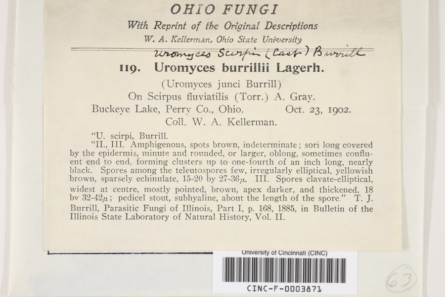 | Uromyces scirpi Burrill | 1902 | Kellerman, W.A. | Buckeye Lake |
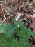 | Dicentra cucullaria (L.) Bernh. | 1900 | Williamson, E.B. | New Salem |
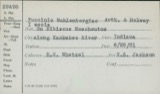 | Puccinia muhlenbergiae Arthur & Holw. | 1902 | W. A. Kellerman | Buckeye Lake |
 | Uromyces (Link) Unger, 1833 | 1902 | W. A. Kellerman | Buckeye Lake |
 | Cercosporella cana (Sacc.) Sacc. | 1903 | Kellerman, W.A. | Buckeye Lake |
 | Absconditella sphagnorum Vzda & Poelt | 1910 | F. Detmers | Buckeye Lake, Cranberry Island |
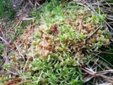 | Sphagnum palustre L. | 1910 | R. F. Griggs | Buckeye Lake |
 | Sphagnum recurvum P.Beauv. | 1910 | R. F. Griggs | Buckeye Lake |
| Orchelimum nigripes Scudder, 1875 | 1923 | Fulton, B.B | Buckeye Lake | |
 | Atrichopogon levis (Coquillett, 1901) | 1925 | not recorded | Buckeye Lake |
| Nilobezzia mallochi Wirth, 1962 | 1925 | not recorded | Buckeye Lake | |
| Probezzia Kieffer, 1906 | 1925 | not recorded | Buckeye Lake |
All 130 specimens within 10 miles, at the Global Biodiversity Information Facility.
Mines and quarries near this place
1 within 5 milesRegional context, not property-specific evidence. The federal mineral resources record lists 1 working within 5 miles of Thornville: 1 plant. All of them still produce. What was taken out: Stone, Crushed/Broken. Distance is straight-line from the map coordinates, so a quarry counted here may appear on a neighbouring settlement's page as well.
| Where | Site | Commodity | Status | Recorded |
|---|---|---|---|---|
| Busse Quarry & Mill | Stone, Crushed/Broken | Plant |
Storms near this place
33 since 1998Regional context, not property-specific evidence. The National Weather Service names Thornville in 33 storm reports between 1998 and 2025: 16 thunderstorm wind, 11 hail, 3 flood, 3 flash flood. No death or injury is recorded in these reports. Each account below is quoted exactly as the forecast office filed it, from the NOAA Storm Events Database, and each date opens the federal record of that event.
| When | Event | Place named | Harm | What the report says |
|---|---|---|---|---|
| June 2012 | Thunderstorm Wind | Thornville | $1,000,000 | Numerous large branches and trees fell across Perry County. Over 10,000 customers lost electricity. One shelter was set up in Crooksville High School in which 28 people stayed overnight. Fire houses were used as cooling stations and also to feed citizens. Some private stores gave away their foods before it would spoil. ||Public damage which includes damages to roads and clearing debris was on the order of $600,000. There was one indirect death to a 69 year old male that occurred in the Thornville vicinity. He had health issues, but the lack of electricity in the aftermath of the storm contributed to his death. |
| June 2004 | Thunderstorm Wind | Thornville | $50,000 | A bow echo type event with winds estimated at around 75 mph damaged outbuildings and caused an old barn to collapse. Several old and large trees were snapped. |
| July 2017 | Flash Flood | Thornville | $30,000 | Multiple creeks across northern Perry County flooded following heavy rain. The majority of the flooding was along Jonathan Creek, Honey Creek, Bowling Green Creek and their smaller tributaries. Many roads were closed due to high water, including Route 204 and 668 between Thornville and Mount Perry. Zartman Road was closed west of Thornville, and Blackbird Lane was closed north east of Thornville. Honey Creek Road was also closed just west of Thornport. Township Roads 21 and 390B both had sections washed out. A vehicle drove into high water along Boundries Road and the driver had to be rescued by the fire department. |
| June 2008 | Flood | Thornville | $25,000 | no account filed |
| February 2009 | Thunderstorm Wind | Thornville | $15,000 | Trees were blown onto power lines. |
| June 2013 | Flash Flood | Thornville | $10,000 | One local downpour drifted south through extreme northern Perry County. This was in the vicinity of eastern reaches of Buckeye Lake. Roads were flooded from the county line on south toward Thornville. This included Boundary Road. Water was 1 foot deep on Honey Creek Road and Route 13. No dwellings were affected. ||Rain estimates were over 3 inches in less than 2 hours. |
| April 2011 | Thunderstorm Wind | Thornville | $5,000 | Trees were blown down along Zion Road. |
| May 2011 | Thunderstorm Wind | Thornville | $5,000 | Numerous trees were blown down. |
| June 1998 | Thunderstorm Wind | Thornville | $5,000 | The sheriff department reported trees down across roads. |
| March 2008 | Flood | Thornville | $5,000 | no account filed |
| November 2020 | Thunderstorm Wind | Thornville | $4,000 | Several trees were downed across the eastern and southern portions of Thornville. |
| March 2019 | Thunderstorm Wind | Thornville | $4,000 | Three power poles were snapped along Route 204 west of Thornville. |
| April 2025 | Hail | Thornville | $3,000 | no account filed |
| August 2020 | Thunderstorm Wind | Thornville | $2,000 | Several trees were downed near the town of Thornville. |
| March 2008 | Flood | Thornville | $2,000 | Small streams, such as Jonathan Creek, flooded and blocked roads. |
| July 2024 | Thunderstorm Wind | Thornville | $500 | In Thornville, multiple trees were blown down within the town. |
| May 2022 | Thunderstorm Wind | Thornville | $500 | One tree was blown down near the intersection of State Route 13 and Zion Branch Road. |
| July 2020 | Thunderstorm Wind | Thornville | $500 | A tree was blown down along Zion Road. |
| November 2017 | Thunderstorm Wind | Thornville | $500 | A tree was downed across Route 188. |
| August 2022 | Flash Flood | Thornville | $250 | Portions of State Route 204 were flooded between Thornville and Glenford. |
| July 2008 | Thunderstorm Wind | Thornville | - | Trees and large branches were blown down. |
| June 2007 | Thunderstorm Wind | Thornville | - | Several trees were blown down. |
| July 2003 | Thunderstorm Wind | Thornville | - | Trees and large branches were blown down. |
| September 1998 | Hail | Thornville | - | Hail as large as nickels fell. |
| May 2025 | Hail | Thornville | - | no account filed |
| April 2025 | Hail | Thornville | - | no account filed |
| April 2025 | Hail | Thornville | - | no account filed |
| May 2022 | Hail | Thornville | - | no account filed |
| June 2011 | Hail | Thornville | - | no account filed |
| March 2011 | Hail | Thornville | - | no account filed |
| June 2009 | Hail | Thornville | - | no account filed |
| July 2003 | Hail | Thornville | - | no account filed |
| May 2002 | Hail | Thornville | - | no account filed |
Nearest settlements
The eight closest, with where each one stands in the county. Distances are straight-line, computed from the Geographic Names Information System coordinates.
| Map | Place | Distance | Sheets |
|---|---|---|---|
| Thornport | 1.2 miles | 14 | |
| Firemans Park | 2.4 miles | 14 | |
| Bruno | 3.3 miles | 12 | |
| Walser | 3.7 miles | 12 | |
| Ziontown | 4.3 miles | 11 | |
| Yost | 4.7 miles | 12 | |
| Glenford | 5.5 miles | 12 | |
| Glass Rock | 7.1 miles | 12 |
Elsewhere
Matched on this settlement's Geographic Names Information System number rather than its name, so it cannot be a different place of the same name in another state.
| Wikipedia article on Thornville | An encyclopaedic summary. Its text is share-alike, so it is linked here rather than copied. |
| Wikidata item Q547541 | The structured record the population and elevation above come from. Public domain (CC0). |
Provenance
This settlement is recorded in the Geographic Names Information System as feature 1049246. The sheet list is computed by point-in-boundary test against the United States Geological Survey's historical topographic inventory. Both are works of the United States government and carry no copyright under 17 U.S.C. 105.
Wildfire. Short, Karen C. 2022. Spatial wildfire occurrence data for the United States, 1992-2020 [FPA_FOD_20221014]. 6th Edition. Fort Collins, CO: Forest Service Research Data Archive. https://doi.org/10.2737/RDS-2013-0009.6 Collected with United States Government funding and usable without additional permissions or fees.
Specimens. Global Biodiversity Information Facility (GBIF), https://www.gbif.org/. Only records licensed CC0 or CC BY are used. Records licensed CC BY-NC are excluded because this site carries advertising. Images are checked individually and any whose licence is non-commercial, no-derivatives or unreadable is refused.
Mines and quarries. USGS Mineral Resources Data System (MRDS) https://mrdata.usgs.gov/mrds/ A work of the United States government, no copyright under 17 U.S.C. 105.
Storms. NOAA National Centers for Environmental Information, Storm Events Database https://www.ncei.noaa.gov/stormevents/ A work of the United States government, no copyright under 17 U.S.C. 105. Narratives are quoted verbatim from the National Weather Service report and are not edited or summarised.