 Block
Block
New Matamoras, Ohio
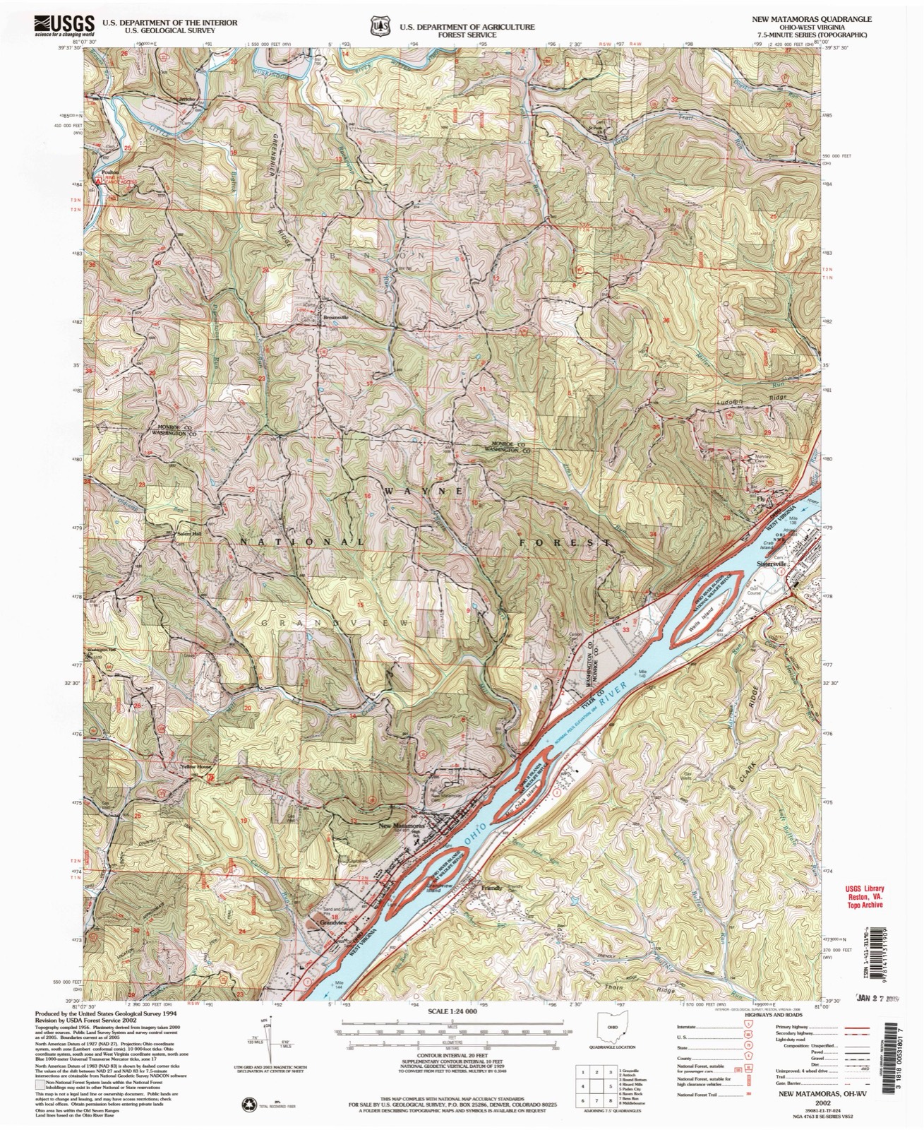
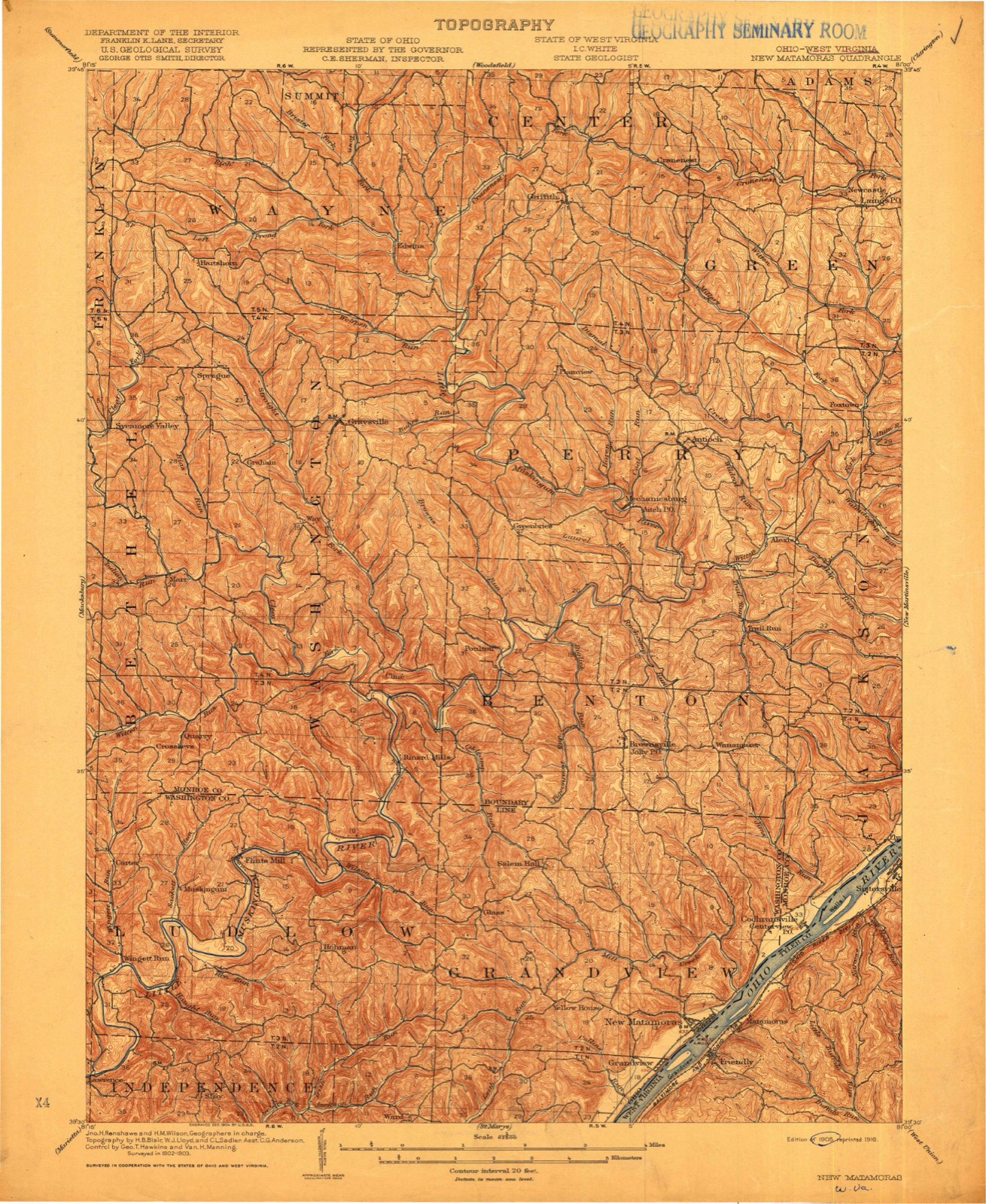
18 topographic sheets cover this place, the earliest surveyed in 1905 and the latest in 2002. It stands in Grandview Township. It lies in ZIP code area 45767. It stands on Mill Creek. The Survey maps it on the New Matamoras quadrangle. 702 people lived here at the 2020 count. It stands 646 feet above sea level.
Population over time
2 figuresNew Matamoras fell from 896 to 702 between 2010 and 2020. These are the recorded population figures Wikidata holds for this place, reached through the Geographic Names Information System number this page is keyed on rather than by name, so they belong to this place and not to another of the same name. Most are census counts, but not all are: an early figure may be a founding or settlement estimate. The change column is computed, and is left blank where more than 20 years separate a figure from the one before it, because a gap that long is not a change between two counts.
| Year | People | Change |
|---|---|---|
| 2010 | 896 | |
| 2020 | 702 | -194 (-22%) |
Then and now
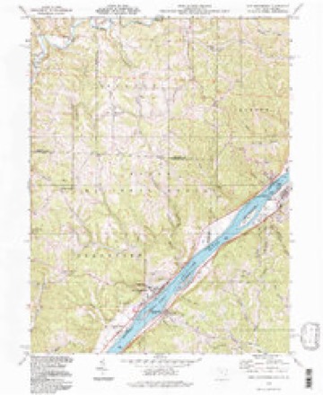
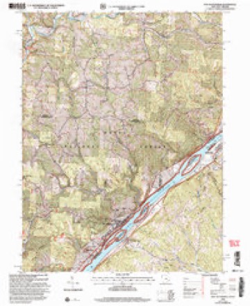
1905 to 2002The same ground, surveyed 97 years apart. Drag the handle to wipe between them. Both sheets are United States Geological Survey originals; neither has been altered.
Compare 1905 against another survey:
Topographic sheets covering this place
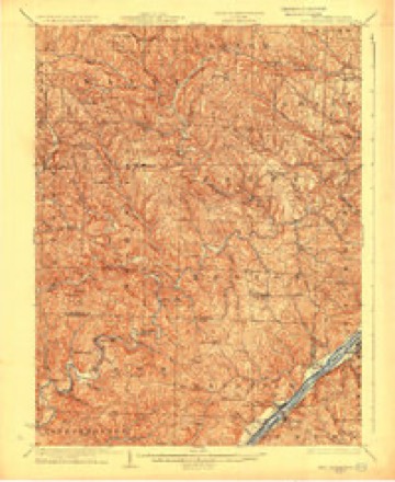
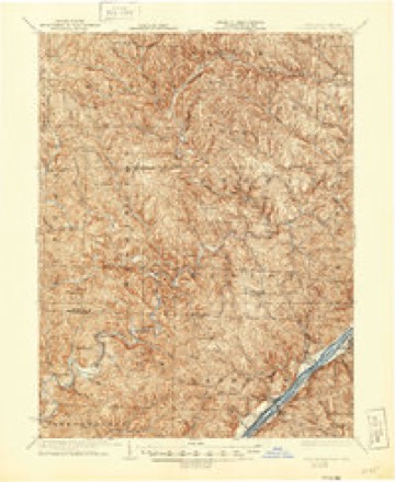
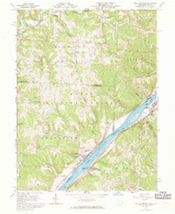
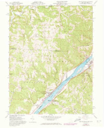
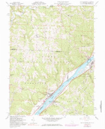
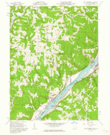
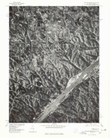
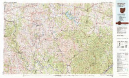
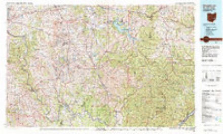
18 sheetsMatched by testing this settlement's coordinate against the published boundary of every sheet in the United States Geological Survey's historical collection. Each opens the scanned sheet at the Survey.
- 1905 USGS New Matamoras quadrangle1:62500
- 1924 USGS New Matamoras quadrangle1:62500
- 1926 USGS New Matamoras quadrangle1:62500
- 1926 USGS New Matamoras quadrangle1:62500
- 1949 USGS Clarksburg quadrangle1:250000
- 1956 USGS Clarksburg quadrangle1:250000
- 1956 USGS Clarksburg quadrangle1:250000
- 1960 USGS New Matamoras quadrangle1:24000
- 1960 USGS New Matamoras quadrangle1:24000
- 1960 USGS New Matamoras quadrangle1:24000
- 1960 USGS New Matamoras quadrangle1:24000
- 1961 USGS Clarksburg quadrangle1:250000
- 1975 USGS New Matamoras quadrangle1:24000
- 1980 USGS Senecaville quadrangle1:100000
- 1980 USGS Senecaville Lake quadrangle1:100000
- 1988 USGS Clarksburg quadrangle1:250000
- 1994 USGS New Matamoras quadrangle1:24000
- 2002 USGS New Matamoras quadrangle1:24000





In the county-history sources
13,709 words on this townshipHistory of Washington County, Ohio, published 1881 names this settlement in its chapter on Grandview Township. These are the passages that mention it, exactly as the scans read.
The present town officials are: Dr. W. L. West, mayor; Jasper Lisk, clerk; Philip Hanshumaker, treasurer; Hezekiah Riggs, marshal; J. N. Simmons, street commissioner; John Shannon, H. B. May, Edward Machetanz, George Davenport, John Hays, and I. Walters, councilmen. The commercial importance of Matamoras is represented by the following business firms: First street, Samuel Shannon & Son, flour mill; Samuel Hutchison & Sons, general store and post office; August Andrea, druggist; Adam Brown, saloon; Hosea B. May, hardware and tinner; John Richard, Richards House; Philip Reinherr, confectionary and bakery; Dr. S. M. Richardson, druggist and physician; John Hensell, furniture, and undertaker; Charles Miller, general store; M. Burbaker, merchant tailor; Jacob Gautchi, cigarmaker and barber; A. Unger, boot and shoemaker; Frederick Glaso, merchant tailor; Jacob Grohs, saddler and harness; Mitchell & Rice, general store and fowarding; Charles Nelly, Nelly House; Philip Hanshumaker, dry goods; Dr. F. P. Martin, physician and surgeon; W. F. Powell, New Matamoras Herald; T. B. Barnes, livery. Main street: Dr. W. L. West, physician and surgeon; I. Walters, boots and shoes; A. Kirkbride, butcher; Elliott Brothers, general store; Lloyd Biddle, saloon; James McMunn, boots and shoes; A. P. Cree, grocery and commission; Mrs. Young, book store; T. H. Huffman, Huffman House; Isaac Young; blacksmith; Alexander Minder, saloon; Jonas Lisk, wagonmaker. Second street: John Graham, carpenter; Charles Keddy, butcher; Levi Huffman, drayman. Third street: William Gist, carpenter; H. C. Cunningham, carpenter; John Hays, cooper; Dr. A. R. Anderson, physician and surgeon; Machetanz & Brother, tannery. Merchant street: John Craig, livery.
Passage source: History of Washington County, Ohio, published 1881.
New Matamoras Lodge of Free and Accepted Masons, No. 374, was organized by charter, granted October 16, 1867. Charter members, viz: Dr. F. P. Martin, J. R. Algeo, George S. Algeo, Frederick Beegle, William S. Potter, Dr. S. M. Richardson, Vachel Barnes, Cameron Bishop, Charles McMunn, C. W. True, Clement Watters, William Hubbard, C. W. Ridgeway, Charles Algeo, Rolla Meredith, G. C. Renetts. First official, John W, Jackson, master; F. P. Martin, senior warden; Joseph Algeo, junior warden. The hall in which the lodge held its meetings was destroyed by fire August 17, 1874, and all the property of the lodge totally destroyed.
Passage source: History of Washington County, Ohio, published 1881.
The New Matamoras Herald was first issued by W. T. Powell, editor and proprietor, August 5, 1880, and though in operation but a short time there are many encouraging indications of future success. It is now a sprightly journal of twenty-four columns, soon to be increased, and, maintaining an independence in all things, can be supported as it ought by the citizens throughout this locality.
Passage source: History of Washington County, Ohio, published 1881.
Machine-read from a century-old scan, so expect the errors a machine makes: misspelled names, dropped words, stray characters.
Read the whole chapter on Grandview Township - it names this place 2 more 2 times.
Fires near this place
13 since 1993Regional context, not property-specific evidence. The federal wildfire occurrence database lists 13 fires within 5 miles of New Matamoras between 1993 and 2020, burning about 29 acres in total. None started naturally. 2 were recorded as arson. Distance is straight-line from the map coordinates, so a fire counted here may appear on a neighbouring settlement's page as well.
| Reported cause | Fires |
|---|---|
| Debris and open burning | 6 |
| Power generation/transmission/distribution | 4 |
| Arson/incendiarism | 2 |
| Equipment and vehicle use | 1 |
The most recent of them, most recent first, with the day each was reported and the service that recorded it.
| Date | Cause | Size | Reported by | Name on the report |
|---|---|---|---|---|
| 30 May 2007 | Power generation/transmission/distribution | under an acre | West Virginia Division of Forestry | not named |
| 1 May 1993 | Arson/incendiarism | 5.0 acres | West Virginia Division of Forestry | THORN RIDGE |
| 4 April 2013 | Debris and open burning | 3.0 acres | Ohio Department of Natural Resources | not named |
| 4 April 1996 | Debris and open burning | 1.0 acres | West Virginia Division of Forestry | FRIENDLY |
| 1 April 2015 | Debris and open burning | 3.5 acres | Ohio Department of Natural Resources | 651 |
| 8 March 2016 | Equipment and vehicle use | 4.5 acres | Wayne National Forest | 260 |
| 6 March 2018 | Arson/incendiarism | 1.0 acres | Wayne National Forest | JACKSON RUN FIRE |
| 31 March 2015 | Power generation/transmission/distribution | 7.0 acres | Wayne National Forest | OLD CAMP ROAD |
Settlements close enough to share some of these fires:
Specimens collected near this place
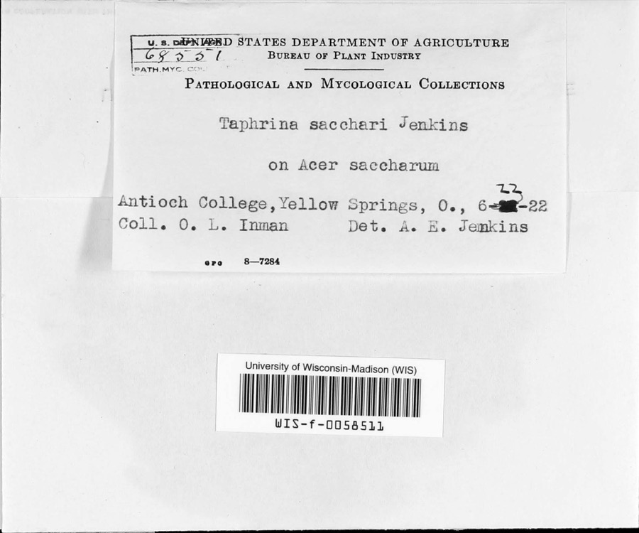
12 of 142 shownRegional context, not property-specific evidence. Museums hold 142 specimens collected within 10 miles of New Matamoras between 1905 and 1975: 114 Animalia, 15 Fungi, 11 Plantae, 2 Chromista. 12 distinct Species records are shown. Collected by Archer, W. A., Bartholomew, E.A., Conan J. Taylor and others. Each is a physical object with a catalogue number, and each entry opens the museum's record. This is what was collected and kept, not a survey of what lives here - nothing can be concluded from a species being absent.
| Image | Species | Year | Collected by | Where, as recorded |
|---|---|---|---|---|
 | Taphrina sacchari Jenkins | 1922 | O.L. Inman | Antioch College |
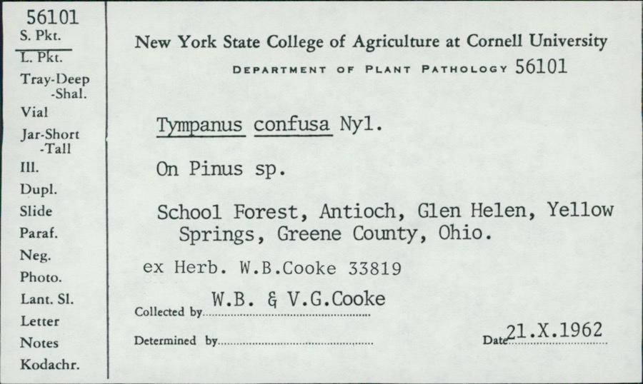 | Tympanis confusa Nyl. | 1962 | W.B. Cooke; V.G. Cooke | School Forest, Antioch, Glen Helen |
| Alternaria solani Sorauer | 1905 | Post A. Lee | Long Reach | |
 | Cercospora canescens Ellis & G.Martin | 1905 | Johnson T. C. | Long Reach |
 | Phyllosticta Pers., 1818 | 1905 | Post A. L. | Long Reach |
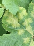 | Plasmopara viticola (Berk. & M.A.Curtis) Berl. & De Toni | 1905 | Post, A. L. | Long Reach |
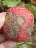 | Venturia inaequalis (Cooke) G.Winter | 1905 | Johnson T. C. | Long Reach |
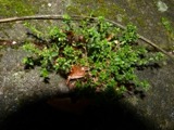 | Arenaria serpyllifolia L. | 1911 | O. E. Jennings | Kelly's Island- above Glacial Grooves quarry. |
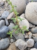 | Dysphania botrys (L.) Mosyakin & Clemants | 1911 | O. E. Jennings | Kelly's Island-edges of Glac.; grooves quarry. |
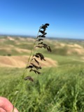 | Ustilago avenae (Pers.) Rostr. | 1924 | Farr C. H. | New Matamoras |
| Peronospora manshurica (Naumov) Syd. | 1928 | Archer, W. A. | Greenbrier | |
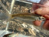 | Cyprinella whipplei Girard, 1856 | 1929 | Trautman, M. B. (Milton Bernard) & Walker, W. H. (W. Harrington) | Little Muskingum River, near Hune Covered Bridge, south of Wingett Run OH, NE Lawrence Township |
All 142 specimens within 10 miles, at the Global Biodiversity Information Facility.
Mines and quarries near this place
1 within 5 milesRegional context, not property-specific evidence. The federal mineral resources record lists 1 working within 5 miles of New Matamoras: 1 producer. All of them still produce. What was taken out: Sand and Gravel, Construction. Distance is straight-line from the map coordinates, so a quarry counted here may appear on a neighbouring settlement's page as well.
| Where | Site | Commodity | Status | Recorded |
|---|---|---|---|---|
| Muskingum River G. Plant No. 2 Pit | Sand and Gravel, Construction | Producer |
Storms near this place
8 since 1996Regional context, not property-specific evidence. The National Weather Service names New Matamoras in 8 storm reports between 1996 and 2022: 3 hail, 3 thunderstorm wind, 2 flash flood. No death or injury is recorded in these reports. Each account below is quoted exactly as the forecast office filed it, from the NOAA Storm Events Database, and each date opens the federal record of that event.
| When | Event | Place named | Harm | What the report says |
|---|---|---|---|---|
| February 2009 | Thunderstorm Wind | New Matamoras | $15,000 | Trees were blown down. |
| October 2016 | Thunderstorm Wind | New Matamoras | $5,000 | Large tree fell on a house. |
| July 1996 | Flash Flood | New Matamoras | $5,000 | no account filed |
| May 2019 | Flash Flood | New Matamoras | $2,000 | Several roads were closed in downtown New Matamoras due to flooding. |
| June 1998 | Hail | New Matamoras | $2,000 | no account filed |
| November 2022 | Thunderstorm Wind | New Matamoras | $500 | Multiple trees were blown down in the Grandview Township. |
| August 2004 | Hail | New Matamoras | - | Penny size hail fell near the Monroe County line. |
| August 2006 | Hail | New Matamoras | - | no account filed |
Nearest settlements
The eight closest, with where each one stands in the county. Distances are straight-line, computed from the Geographic Names Information System coordinates.
| Map | Place | Distance | Sheets |
|---|---|---|---|
| Grandview | 1.4 miles | 18 | |
| Glass | 3.7 miles | 16 | |
| Beavertown | 4.3 miles | 19 | |
| Ward (historical) | 4.6 miles | 16 | |
| Hohman | 6.0 miles | 16 | |
| Leith | 6.5 miles | 20 | |
| Bloomfield | 7.7 miles | 16 | |
| Archers Fork | 7.9 miles | 20 |
Elsewhere
Matched on this settlement's Geographic Names Information System number rather than its name, so it cannot be a different place of the same name in another state.
| Wikipedia article on New Matamoras | An encyclopaedic summary. Its text is share-alike, so it is linked here rather than copied. |
| Wikidata item Q2598854 | The structured record the population and elevation above come from. Public domain (CC0). |
Provenance
This settlement is recorded in the Geographic Names Information System as feature 1085479. The sheet list is computed by point-in-boundary test against the United States Geological Survey's historical topographic inventory. Both are works of the United States government and carry no copyright under 17 U.S.C. 105.
Wildfire. Short, Karen C. 2022. Spatial wildfire occurrence data for the United States, 1992-2020 [FPA_FOD_20221014]. 6th Edition. Fort Collins, CO: Forest Service Research Data Archive. https://doi.org/10.2737/RDS-2013-0009.6 Collected with United States Government funding and usable without additional permissions or fees.
Specimens. Global Biodiversity Information Facility (GBIF), https://www.gbif.org/. Only records licensed CC0 or CC BY are used. Records licensed CC BY-NC are excluded because this site carries advertising. Images are checked individually and any whose licence is non-commercial, no-derivatives or unreadable is refused.
Mines and quarries. USGS Mineral Resources Data System (MRDS) https://mrdata.usgs.gov/mrds/ A work of the United States government, no copyright under 17 U.S.C. 105.
Storms. NOAA National Centers for Environmental Information, Storm Events Database https://www.ncei.noaa.gov/stormevents/ A work of the United States government, no copyright under 17 U.S.C. 105. Narratives are quoted verbatim from the National Weather Service report and are not edited or summarised.