 Block
Block
Greer, Ohio
13 topographic sheets cover this place, the earliest surveyed in 1912 and the latest in 1994. It stands in Jefferson Township. It lies in ZIP code area 44628. The Survey maps it on the Greer quadrangle.
Then and now
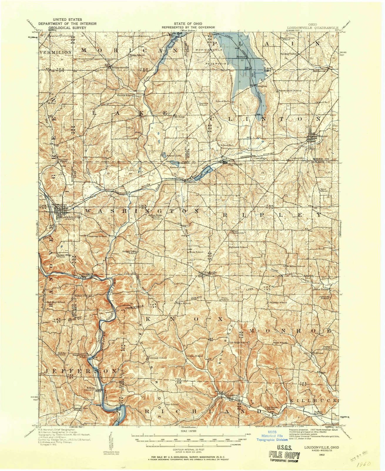
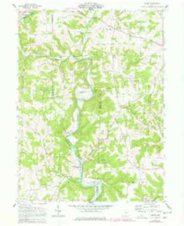
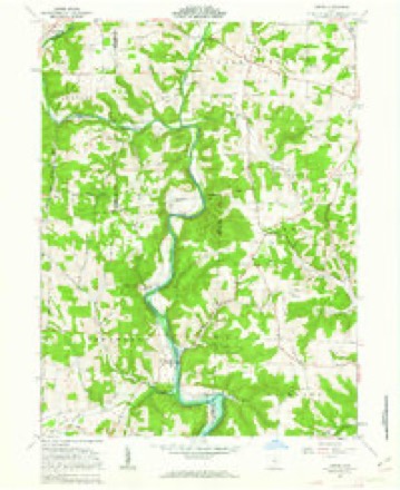
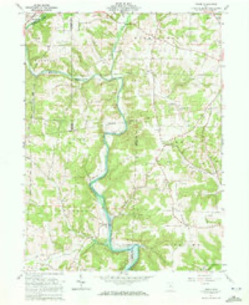
1912 to 1994The same ground, surveyed 82 years apart. Drag the handle to wipe between them. Both sheets are United States Geological Survey originals; neither has been altered.

Compare 1912 against another survey:
Topographic sheets covering this place
13 sheetsMatched by testing this settlement's coordinate against the published boundary of every sheet in the United States Geological Survey's historical collection. Each opens the scanned sheet at the Survey.
- 1912 USGS Loudonville quadrangle1:62500
- 1914 USGS Loudonville quadrangle1:62500
- 1943 USGS Loudonville quadrangle1:62500
- 1950 USGS Marion quadrangle1:250000
- 1961 USGS Greer quadrangle1:24000
- 1961 USGS Greer quadrangle1:24000
- 1961 USGS Greer quadrangle1:24000
- 1962 USGS Marion quadrangle1:250000
- 1966 USGS Marion quadrangle1:250000
- 1966 USGS Marion quadrangle1:250000
- 1966 USGS Marion quadrangle1:250000
- 1986 USGS Mansfield quadrangle1:100000
- 1994 USGS Mansfield quadrangle1:100000







In the county-history sources
5,343 words on this townshipHistory of Knox County, Ohio, Its Past and Present, Containing a Condensed, Comprehensive History of Ohio, Including an Outline History of the Northwest; a Complete History of Knox County ... a Record of Its Soldiers in the Late War; Portraits of Its Early Settlers and Prominent Men ... Biographies and Histories of Pioneer Families, Etc, published 1881 names this settlement in its chapter on Jefferson Township. These are the passages that mention it, exactly as the scans read.
JEFFERSON was organized in March 1829. It is the northeast corner township of Knox county, and is bounded on the north by Ashland and Holmes counties, on the south by Union tov\rnship, on the east by Holmes county, and on the west by Brown township. In 1876 one mile was taken from the south part of this township and annexed to Union.
The following justices of the peace have been elected since the organization of the township : 1829, James Henderson and John Greer; 1832, John Greer; 1835, James Greer; 1837, James Withrow; 1838, Joseph Greer, Josiah Frost; 1840, James Greer, James Withrow; 1842, Alexander Greer; 1843, James Withrow; 1845, Alexander Greer; 1846, James Withrow; 1848, Alexander Greer; 1849, Robert Greer; 1851, Alexander Greer; 1852, Robert Greer; 1854, Josiah Frost; 1855, Robert Greer; 1857, Josiah Frost, James Greer; 1858, Charles Miller; i860, James Greer; 1861, Charles Miller; 1863, John Workman; 1865, Charles Miller, Frederick Rice; 1867, Charles Miller; 1868, Edward Day; 1869, Mark Greer; 1870, Charles Miller; 187 1, John D. Shrimplin; T873, Charles Miller; 1874, Benjamin Wander; 1876, John C. Banbury; 1877, James W. Baker, John Body; 1879, PhiUp Love; 1880, James W. Baker.
In the vicinity of Greersville are various ledges of rocks, some of which have received names, suggested by peculiar surroundings or individual appearance. One of these ledges, alum rock, is so named because the water which flows from its crevices is strongly impregnated with alum. The water which exudes from the rock, on being exposed to the rays of the sun and evaporated produces alum in considerable quantities. This locality is a favorite resort for pleasure parties in the summer, and is annually visited by many young persons from Mt. Vernon, Loudonville and other places, who encamp here for days at a time, and engage in fishing and hunting. Whortleberries are very plenty in the hills of Jefferson township, and hundreds of bushels are annually gathered by the inhabitants here as well as by persons from adjoining counties.
Machine-read from a century-old scan, so expect the errors a machine makes: misspelled names, dropped words, stray characters.
Read the whole chapter on Jefferson Township - it names this place 15 more 15 times.
Fires near this place
17 since 2006Regional context, not property-specific evidence. The federal wildfire occurrence database lists 17 fires within 5 miles of Greer between 2006 and 2020, burning about 33 acres in total. None started naturally. None was recorded as arson. Distance is straight-line from the map coordinates, so a fire counted here may appear on a neighbouring settlement's page as well.
| Reported cause | Fires |
|---|---|
| Debris and open burning | 14 |
| Missing data/not specified/undetermined | 2 |
| Recreation and ceremony | 1 |
The most recent of them, most recent first, with the day each was reported and the service that recorded it.
| Date | Cause | Size | Reported by | Name on the report |
|---|---|---|---|---|
| 8 May 2019 | Debris and open burning | under an acre | Ohio Department of Natural Resources | 15191 |
| 8 May 2015 | Debris and open burning | 1.0 acres | Ohio Department of Natural Resources | 1206 |
| 5 May 2015 | Debris and open burning | under an acre | Ohio Department of Natural Resources | 1202 |
| 9 April 2019 | Debris and open burning | under an acre | Ohio Department of Natural Resources | 15131 |
| 7 April 2013 | Debris and open burning | 15 acres | Ohio Department of Natural Resources | not named |
| 6 April 2019 | Debris and open burning | under an acre | Ohio Department of Natural Resources | 15112 |
| 6 April 2015 | Recreation and ceremony | 10 acres | Ohio Department of Natural Resources | 722 |
| 25 April 2020 | Debris and open burning | under an acre | Ohio Department of Natural Resources | 15688 |
Settlements close enough to share some of these fires:
Specimens collected near this place
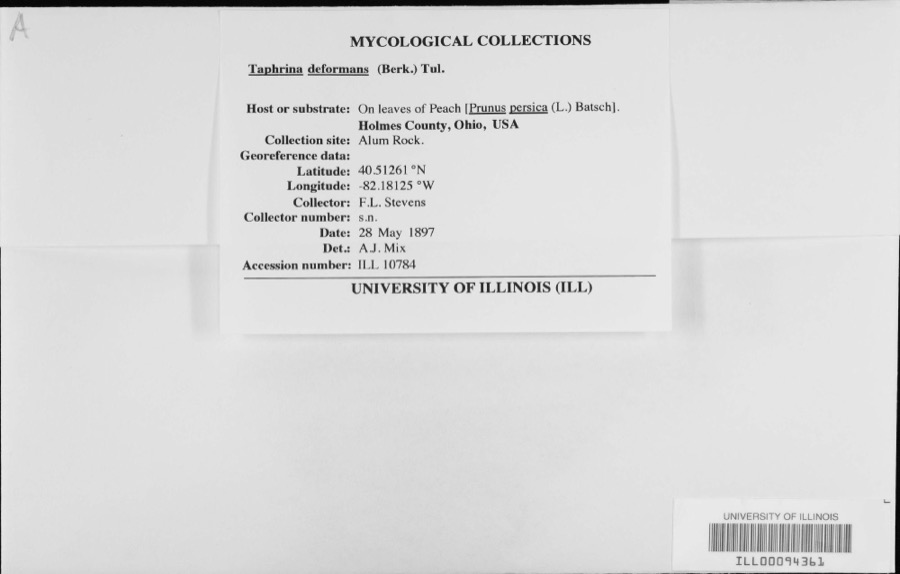
12 of 186 shownRegional context, not property-specific evidence. Museums hold 186 specimens collected within 10 miles of Greer between 1890 and 1974: 182 Animalia, 3 Fungi, 1 Plantae. 12 distinct Species records are shown. Collected by C F WALKER, C. Stein, R. Johnson & J. Jenkinson, Crunkilton, R. (Ron) & Crunkilton, L. (Lila) and others. Each is a physical object with a catalogue number, and each entry opens the museum's record. This is what was collected and kept, not a survey of what lives here - nothing can be concluded from a species being absent.
| Image | Species | Year | Collected by | Where, as recorded |
|---|---|---|---|---|
 | Taphrina deformans (Berk.) Tul. | 1897 | F.L. Stevens | |
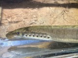 | Lampetra aepyptera (Abbott, 1860) | 1890 | Parker, J. B. | Big Jelloway Creek, within in Knox County OH no other locality info coordinates approximate |
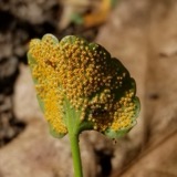 | Puccinia eatoniae Arthur | 1897 | W. A. Kellerman | Brinkhaven. |
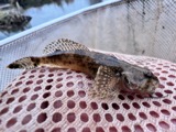 | Cottus bairdii bairdii Girard, 1850 | 1898 | Osburn, R. C. (Raymond Carroll), Williamson, E. B. & Parker, J. B. | Big Jelloway Creek, Big Jelloway Creek, Knox County, township n/a |
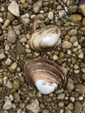 | Lampsilis ovata (Say, 1817) | 1903 | V. Sterki | Tuscarawas River |
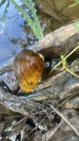 | Pleurobema clava (Lamarck, 1819) | 1905 | C. Stein, R. Johnson & J. Jenkinson | Newcastle Township, Mohican River, just above its confluence with Kokosing River |
 | Campostoma anomalum anomalum | 1928 | Trautman, M. B. (Milton Bernard) & Walker, C. F. (Charles F.) | Little Jelloway Creek, within Pike township, near Jelloway, Pike township |
 | Catostomus commersonii (Lacepède, 1803) | 1928 | Trautman, M. B. (Milton Bernard) & Walker, C. F. (Charles F.) | Little Jelloway Creek, within Pike township, near Jelloway, Pike township |
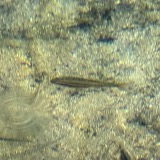 | Chrosomus erythrogaster (Rafinesque, 1820) | 1928 | Trautman, M. B. (Milton Bernard) & Walker, C. F. (Charles F.) | Little Jelloway Creek, within Pike township, near Jelloway, Pike township |
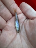 | Clinostomus elongatus (Kirtland, 1840) | 1928 | Trautman, M. B. (Milton Bernard) & Walker, C. F. (Charles F.) | Little Jelloway Creek, within Pike township, near Jelloway, Pike township |
 | Ericymba buccata Cope, 1865 | 1928 | Trautman, M. B. (Milton Bernard) & Walker, C. F. (Charles F.) | Little Jelloway Creek, within Pike township, near Jelloway, Pike township |
 | Etheostoma blennioides Rafinesque, 1819 | 1928 | Trautman, M. B. (Milton Bernard) & Walker, C. F. (Charles F.) | Little Jelloway Creek, within Pike township, near Jelloway, Pike township |
All 186 specimens within 10 miles, at the Global Biodiversity Information Facility.
Mines and quarries near this place
4 within 5 milesRegional context, not property-specific evidence. The federal mineral resources record lists 4 workings within 5 miles of Greer: 4 past producers. None of them still produces. What was taken out: Sand and Gravel, Construction, Stone, Crushed/Broken, Flagstone. Distance is straight-line from the map coordinates, so a quarry counted here may appear on a neighbouring settlement's page as well.
| Where | Site | Commodity | Status | Recorded |
|---|---|---|---|---|
| Knox County Quarries | Stone, Crushed/Broken | Past Producer | Sedimentary | |
| Number 6 Quarry | Flagstone | Past Producer | ||
| Brinkhaven Pit | Sand and Gravel, Construction | Past Producer | Sedimentary | |
| Brinkhaven Pit | Sand and Gravel, Construction | Past Producer |
Nearest settlements
The eight closest, with where each one stands in the county. Distances are straight-line, computed from the Geographic Names Information System coordinates.
| Map | Place | Distance | Sheets |
|---|---|---|---|
| Brinkhaven | 3.7 miles | 12 | |
| Jelloway | 5.4 miles | 13 | |
| Danville | 6.1 miles | 12 | |
| Buckeye City | 6.2 miles | 12 | |
| College Hill | 7.3 miles | 13 | |
| Oak Hill | 7.8 miles | 12 | |
| Pleasant Valley (historical) | 8.4 miles | 12 | |
| Umbria (historical) | 8.4 miles | 12 |
Provenance
This settlement is recorded in the Geographic Names Information System as feature 1064764. The sheet list is computed by point-in-boundary test against the United States Geological Survey's historical topographic inventory. Both are works of the United States government and carry no copyright under 17 U.S.C. 105.
Wildfire. Short, Karen C. 2022. Spatial wildfire occurrence data for the United States, 1992-2020 [FPA_FOD_20221014]. 6th Edition. Fort Collins, CO: Forest Service Research Data Archive. https://doi.org/10.2737/RDS-2013-0009.6 Collected with United States Government funding and usable without additional permissions or fees.
Specimens. Global Biodiversity Information Facility (GBIF), https://www.gbif.org/. Only records licensed CC0 or CC BY are used. Records licensed CC BY-NC are excluded because this site carries advertising. Images are checked individually and any whose licence is non-commercial, no-derivatives or unreadable is refused.
Mines and quarries. USGS Mineral Resources Data System (MRDS) https://mrdata.usgs.gov/mrds/ A work of the United States government, no copyright under 17 U.S.C. 105.